Green Mountain - 2.16.2015
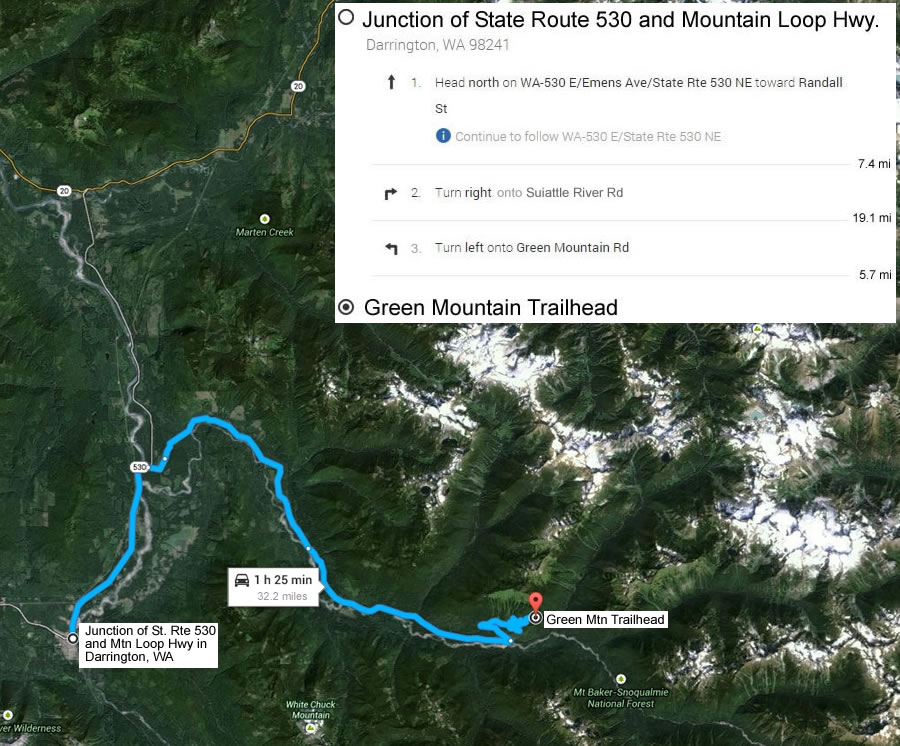
Directions from the junction of Mountain Loop Hwy and State Route 530 to the Green Mountain Trailhead.
|
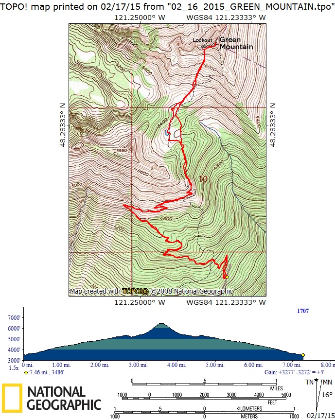
rodman's GPS route of our trip to Green Mountain Lookout... 7.5 miles roundtrip, gaining 3277 feet of elevation. This is the winter route... and is .75 miles shorter than using the summer trail.
|
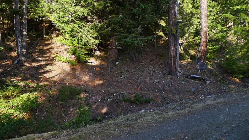
After you have driven 5.7 miles on the Green Mountain Road, look for this sign on the left side of the road. Parking (~3500') is on the right side of the road... and there is additional parking a short distance further up the road.
|
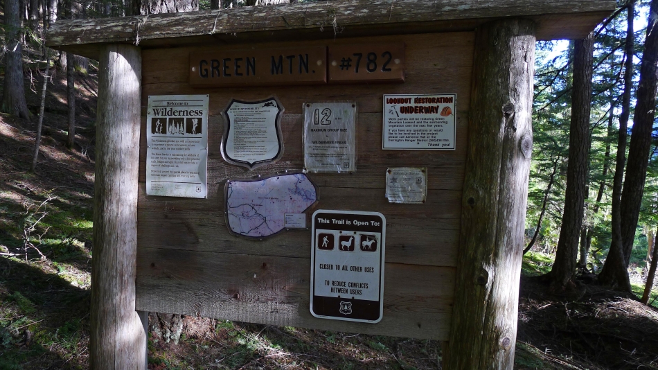
The information board is 50 yards up the trail.
|
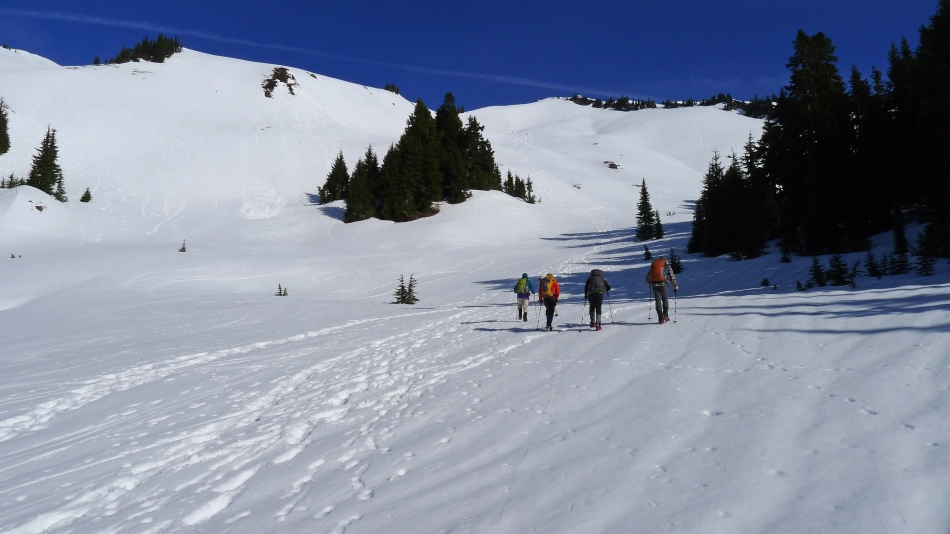
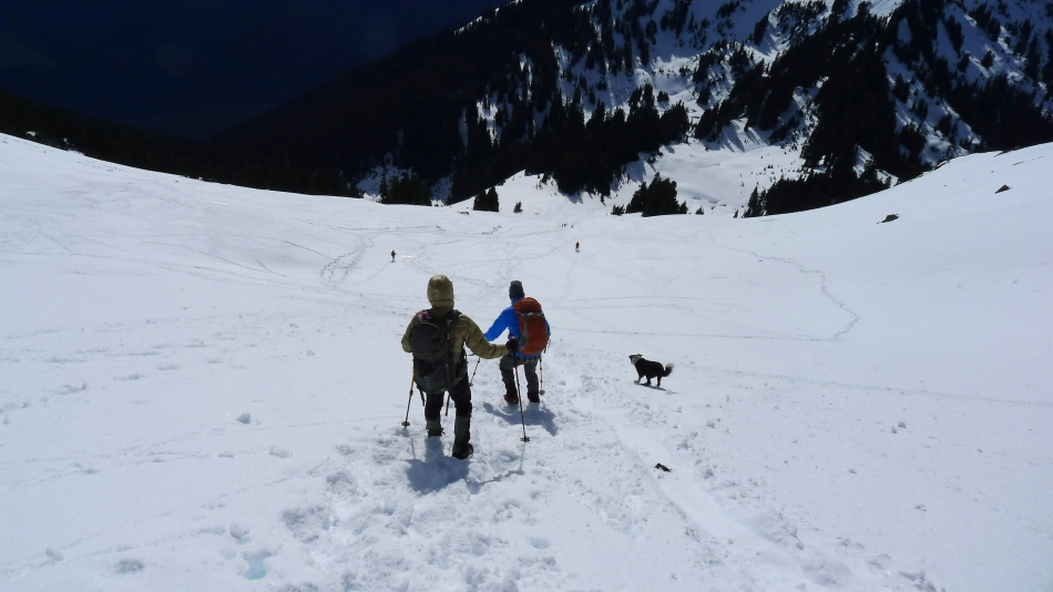
After hiking ~1.5 miles we came out of the trees on the south side of Point 5988.
|
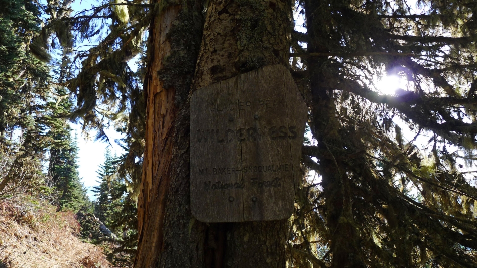
Entering the Glacier Peak Wilderness at ~5000 feet.
|
Our first good look at Green Mountain... we will need to give back 150 feet of elevation before heading up again.
|
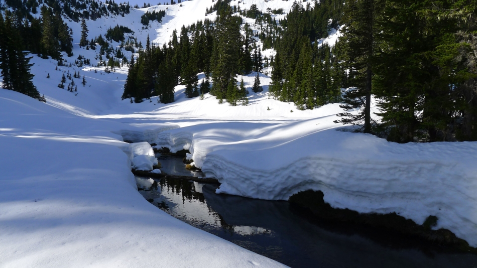
After giving back 150 feet of elevation we have reached a small basin that houses a small pond.
|
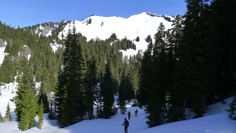
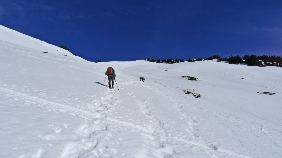
Heading up again now... with our destination in sight.
|
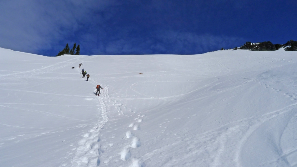
Heading straight up the south face of Green Mountain... following good steps.
|
Looking back at the small basin and Point 5988 in the foreground... we entered the basin from the treed area on the far left of the photo.
|
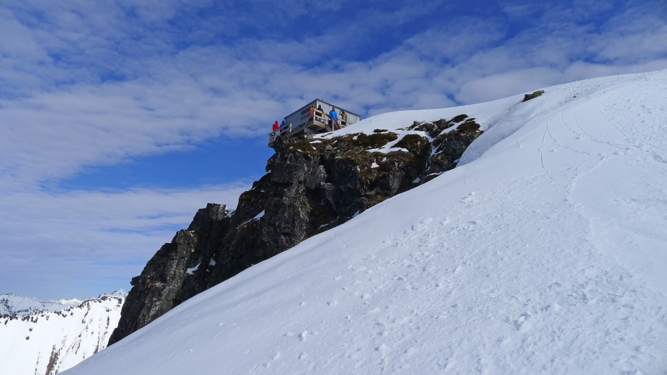
Almost on the west ridge of Green Mountain... with the lookout somewhere up there on the right.
|
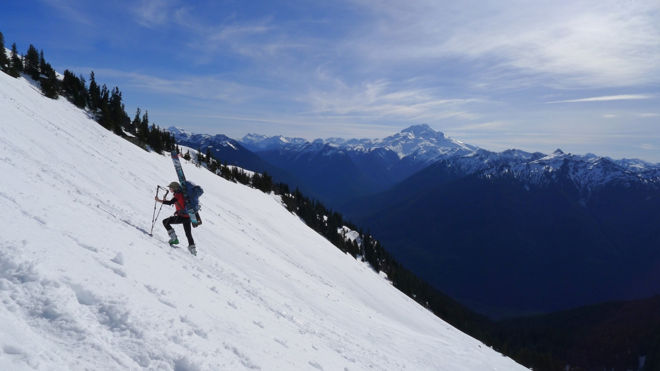
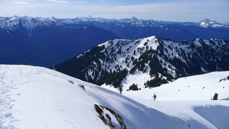
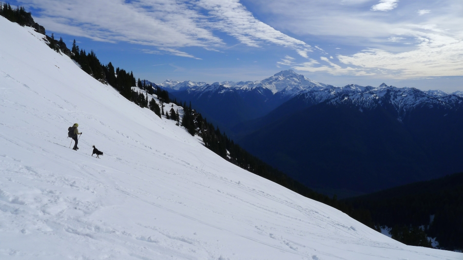
We saw at least 15 skiers today... this one is almost on the west ridge of Green Mountain... Glacier Peak in the distance.
|
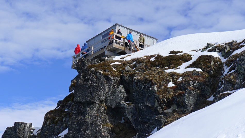
Hey... everyone is on the summit but me... what's up with that.
|
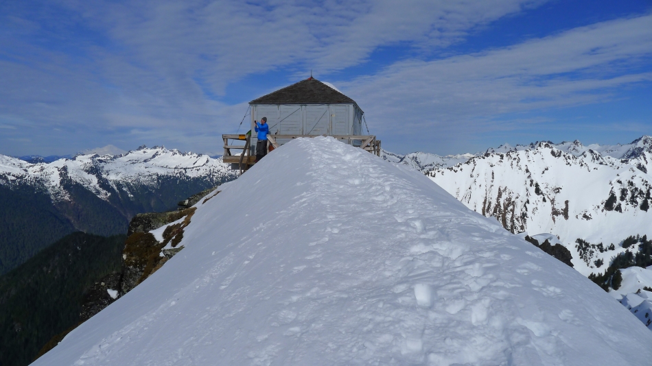
I'm getting closer to the summit... iraman, rodman, robman and Snowdog are waiting patiently for me.
|
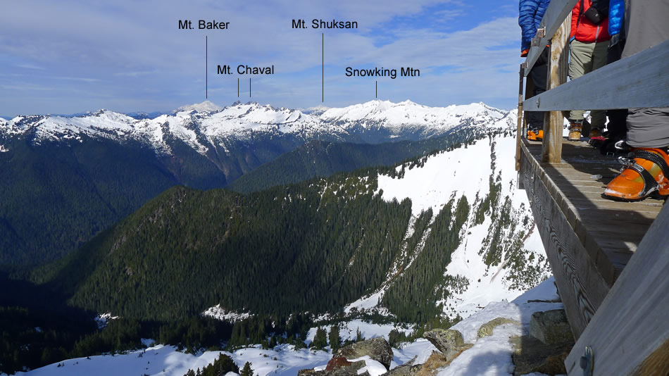
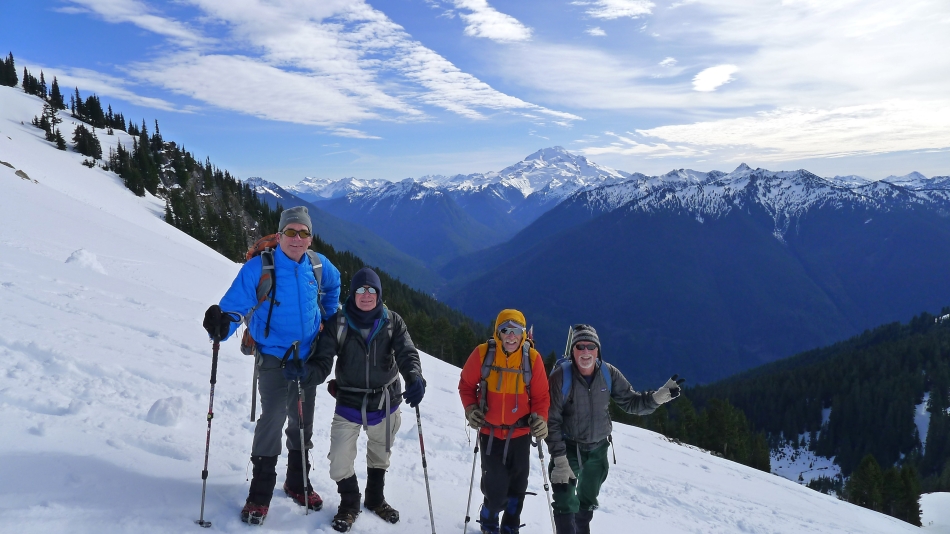
The Green Mountain Lookout (6500')... Mt. Baker and Mt. Chaval to the left... and Point 6665 and the Buckindy Group on the right.
|
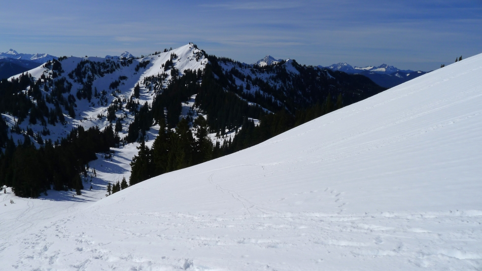
Two more skiers coming up... the small basin is below... at the bottom of Point 5988... Sloan Peak is left-center of the photo... with Mt. Pugh directly behind 5988... and White Chuck Mountain on the far right.
|
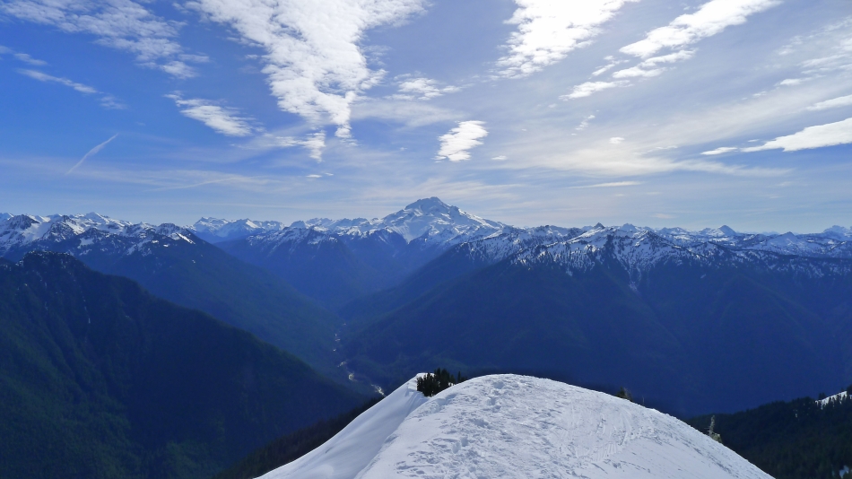
Looking down the SE ridge of Green Mountain and out to Glacier Peak.
|
Looking east from the Green Mountain Lookout.
|
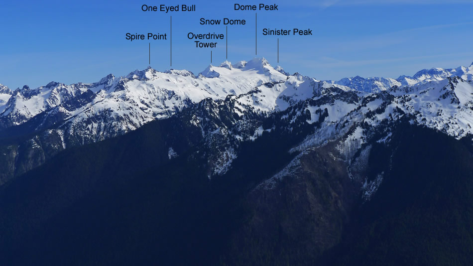
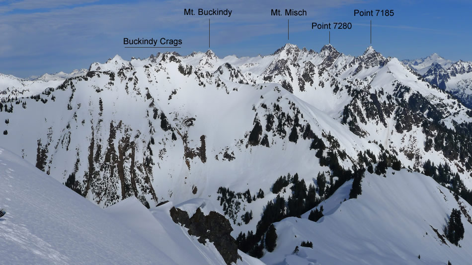
A closer look at the peaks east of Green Mountain.
|
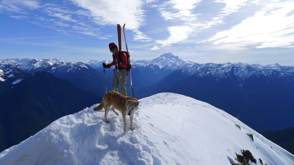
Another skier arrives at the Green Mountain summit... with Cosmos, his four-legged friend.
|
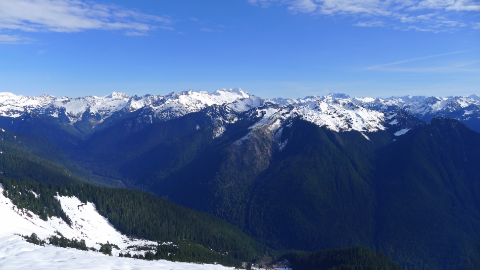
Looking NW from the Green Mountain summit.
|
Looking north from the Green Mountain summit.
|
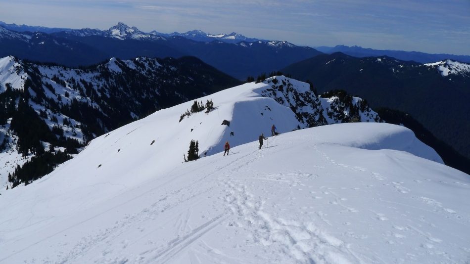
Heading down the west ridge of Green Mountain.
|
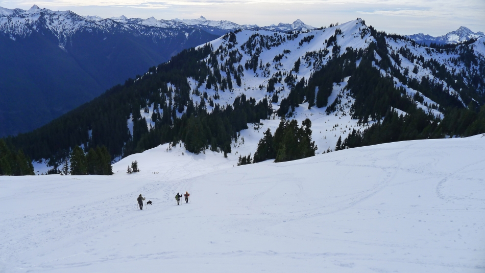
Now down the south face of Green Mountain... with the small basin below... Lots of folks coming up.
|
Snowdog and her trusty sidekick Izzy... on the south face of Green Mountain.
|
The dudes... robman, rodman, iraman and ragman.
|
Continuing down the south slope of Green Mountain... with Point 5988 above the basin below.
|
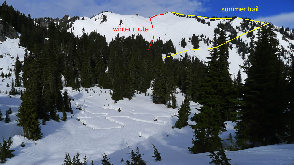
Our last look at Green Mountain... showing the approximate winter and summer routes to the summit.
|
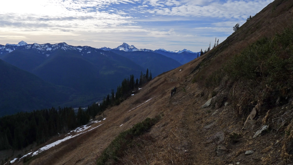
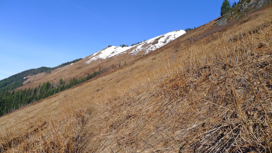
Back on the brown south slope of Point 5988... 2 miles of brown hiking to get back to the car... White Chuck Mountain in the center of the photo.
|
