Ryan Mountain - 4.13.2015
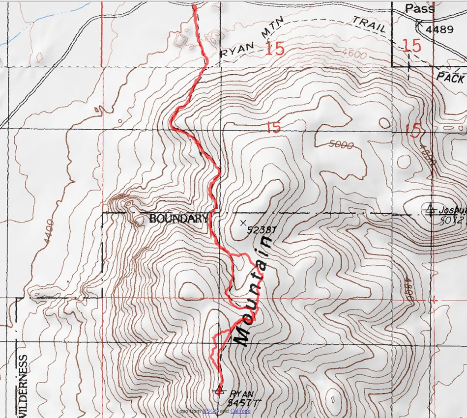
A photo of our GPS track to the summit of Ryan Mountain in Joshua Tree National Park... 3.1 miles roundtrip, gaining 1037 feet of elevation.
|
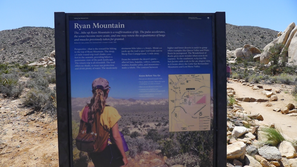
This popular hike has a large parking area.
|
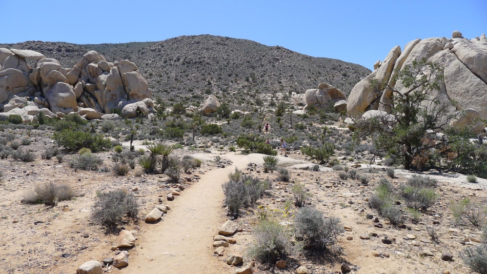
The trail is very easy to follow.
|

Looking down the Ryan Mountain Trail at the parking area.
|
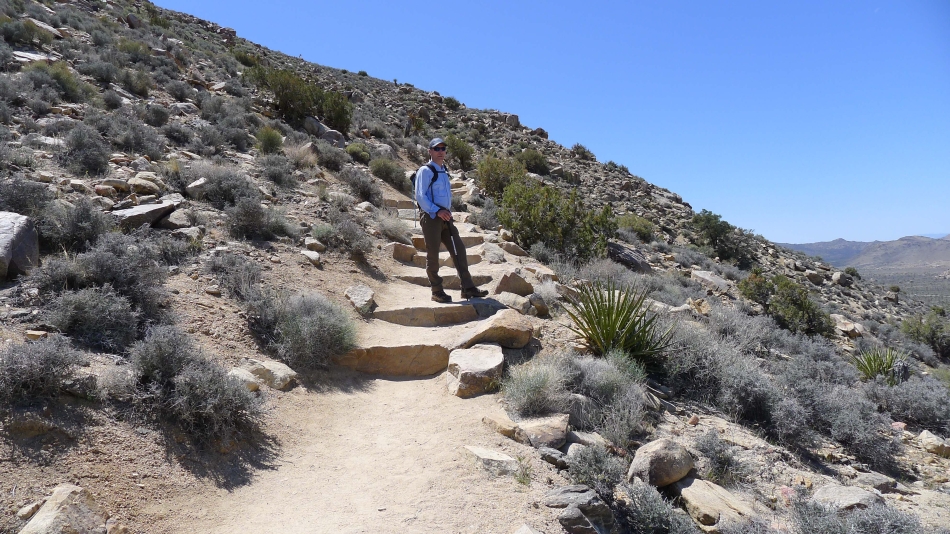
tomman on the Ryan Mountain Trail.
|
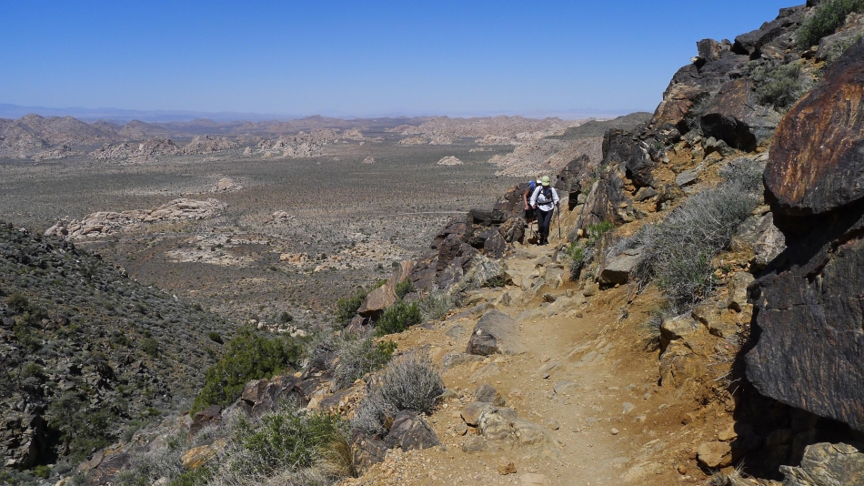
BarbE and Denali Girl gaining elevation on the Ryan Mountain Trail... with Lost Horse Valley below.
|
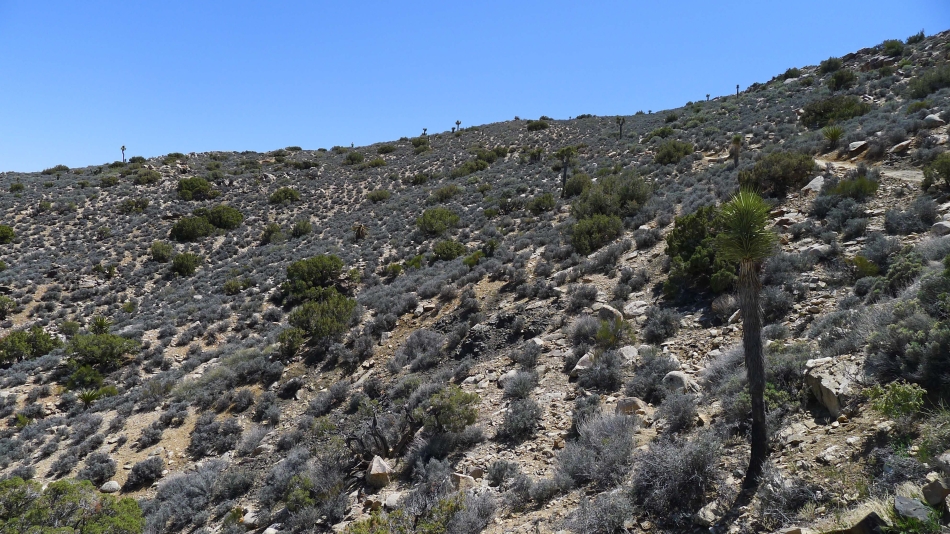
The summit is up there somewhere.
|
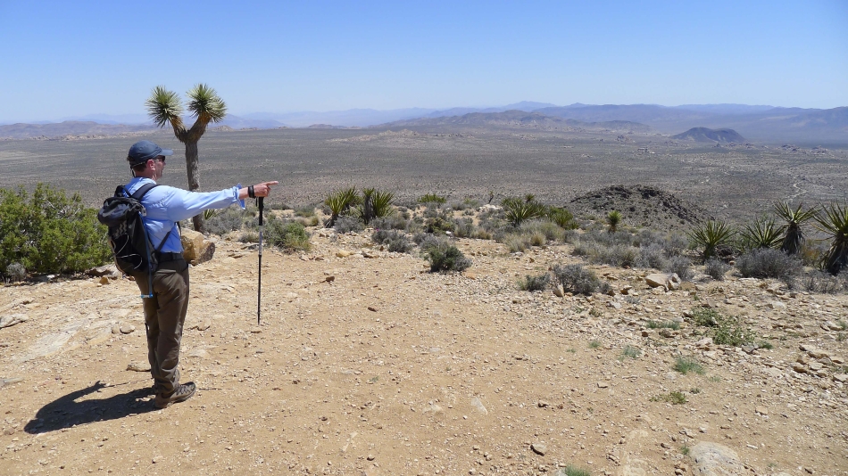
tomman points out Malapai Hill (the black formation) in Pleasant Valley.
|

On the very broad Ryan Mountain summit (5457').
|
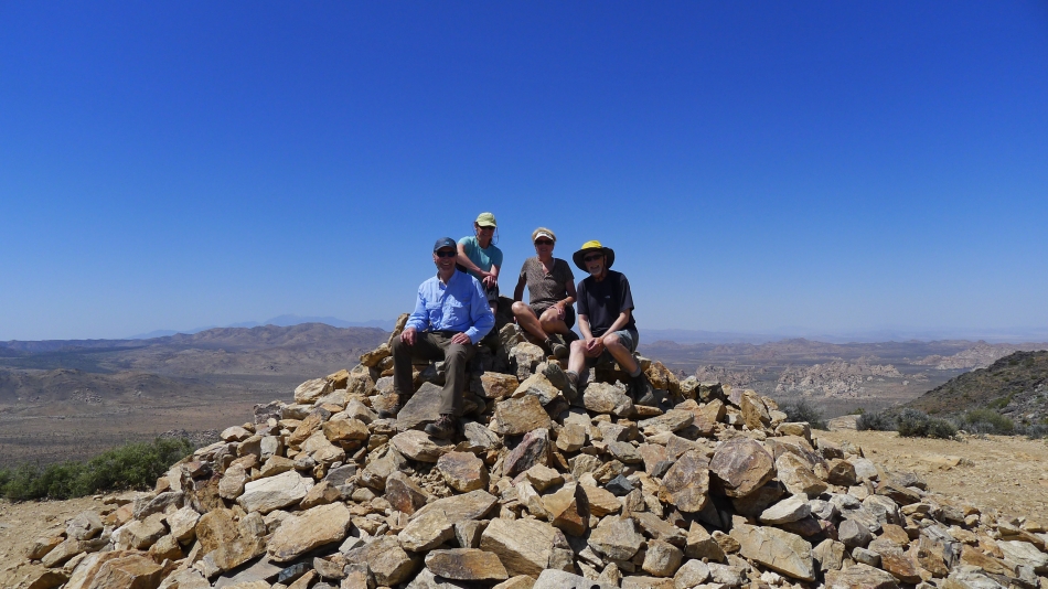
Group shot on the summit... tomman, BarbE, Denali Girl and ragman.
|
