San Jacinto Peak - 4.14.2015
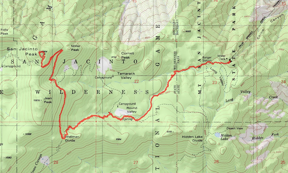
A photo of our GPS track for our hike to the summit of San Jacinto Peak... 11 miles roundtrip, gaining 2688 feet of elevation.
|
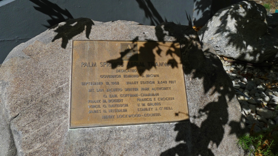
For us, this hike began at the Palm Springs Aerial Tram Station... dedicated in 1963 to Govenor Edmund G. Brown.
|
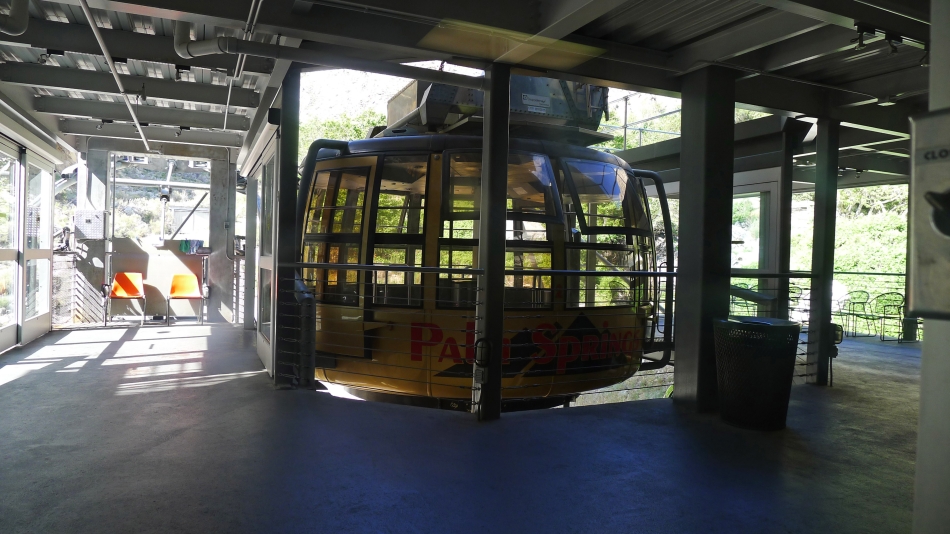
The Tram cars will hold up to 80 people... very glad there weren't 80 in it when we rode it.
|
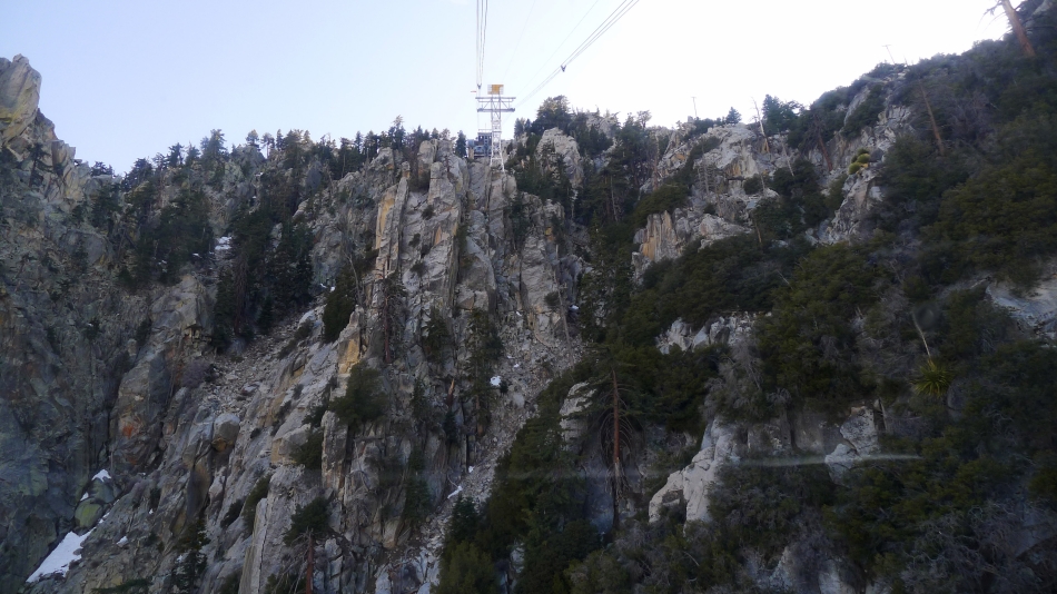
Nearing the top of the tram... a 10 minute ride that gains 6000 feet of elevation in 2.5 miles.
|
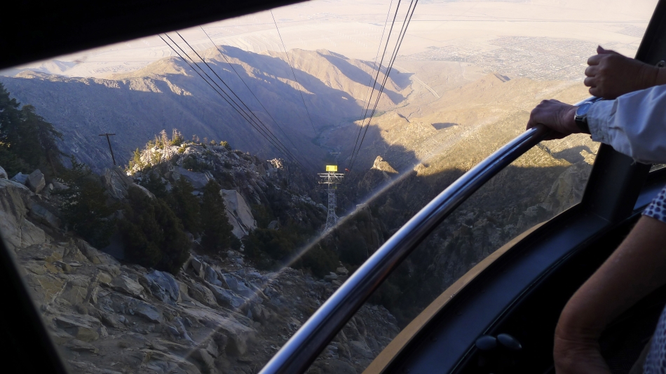
Looking down toward Palm Springs in Coachella Valley as we near the top of the tram.
|
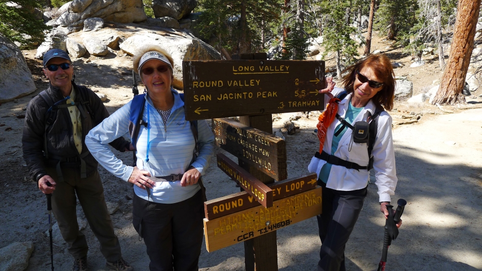
After getting off of the tram, it is a third of a mile hike to the Wilderness Ranger Station where we filled out our permit.
|
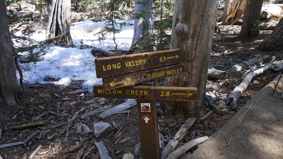
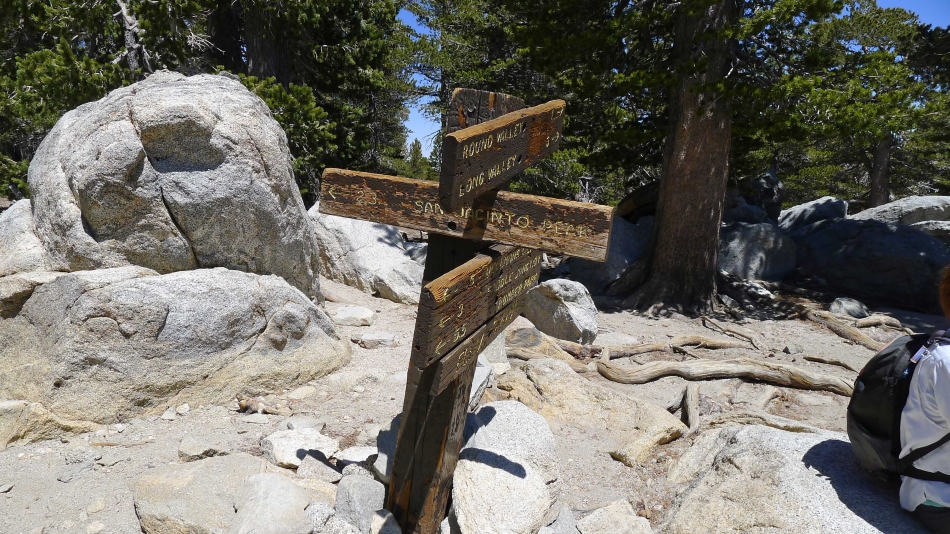
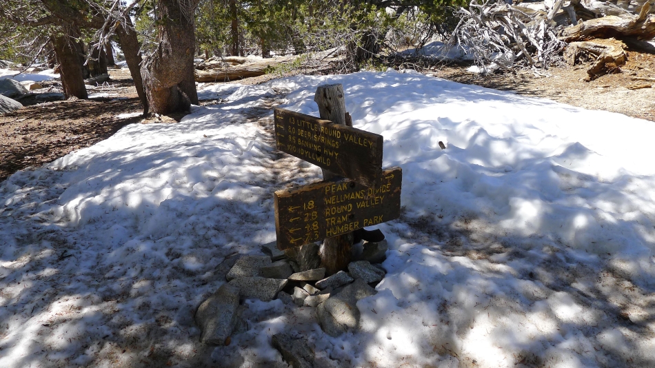
Heading to Round Valley.
|
The next stop will be Wellman's Divide.
|
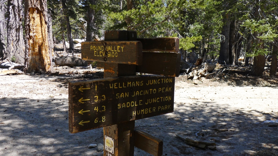
The Ranger Station near the campground in Round Valley.
|
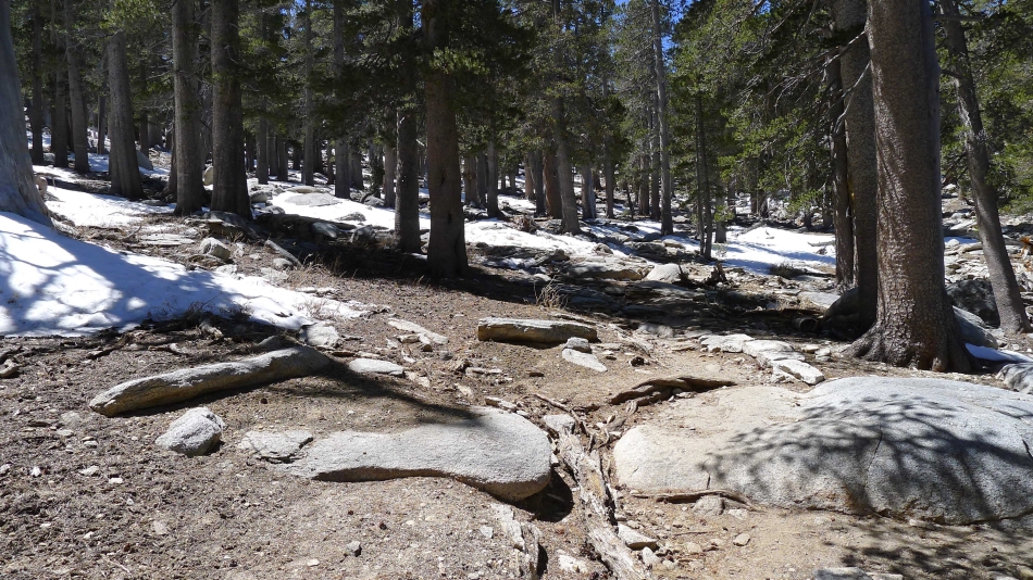
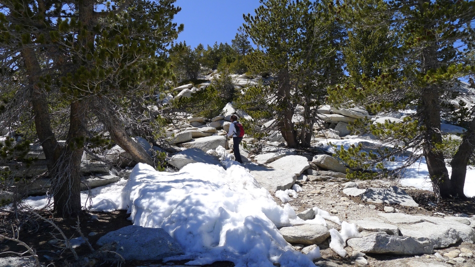
First trace of snow near 9200 feet... but there wasn't much.
|
At Wellman's Divide... and heading for San Jacinto Peak.
|
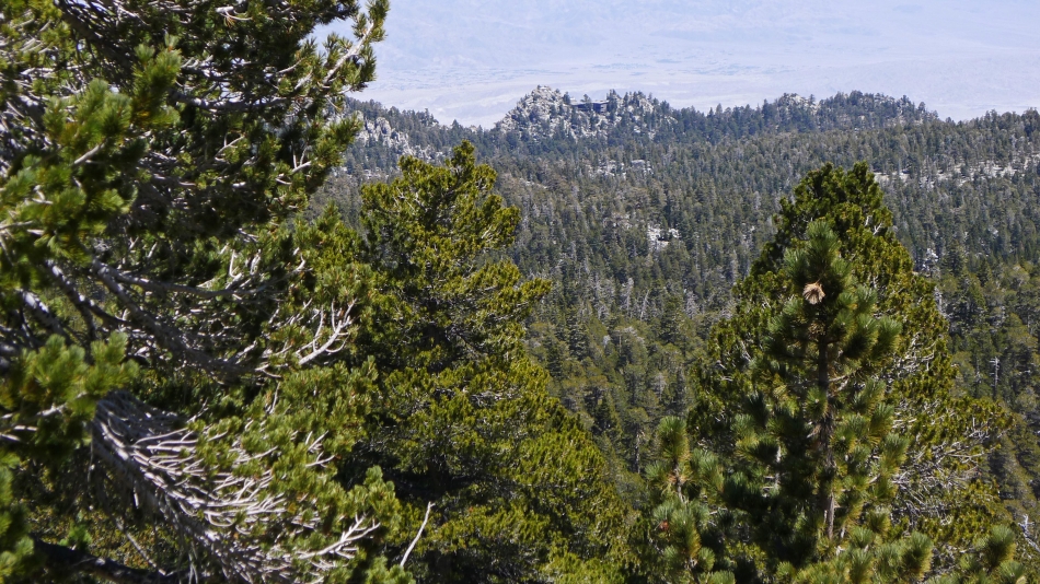
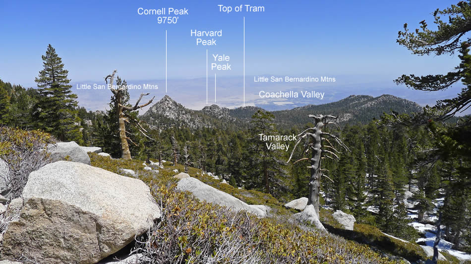
Looking across Tamarack Valley to the top of the tram.
|
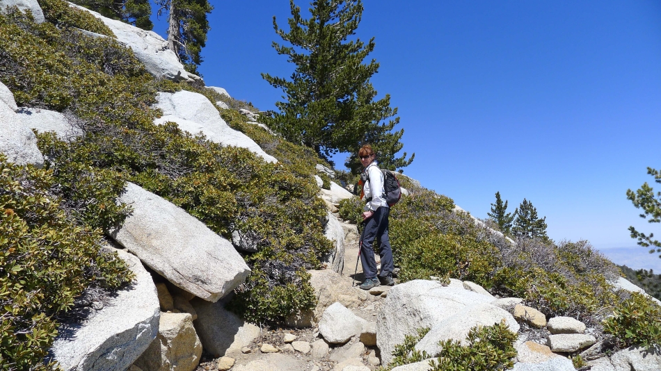
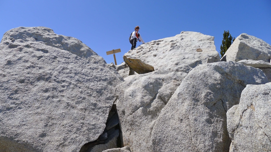
BarbE on the section of trail that leads from Wellman's Divide to the saddle between San Jacinto Peak and Miller Peak.
|
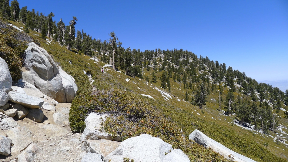
Still heading for the saddle between San Jacinto Peak and Miller Peak.
|
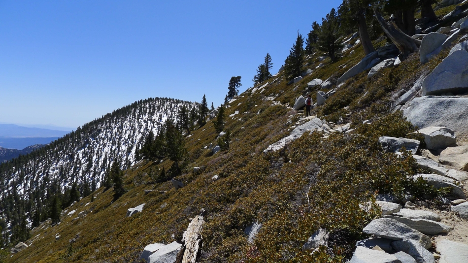
Miller Peak in the distance... when we near the saddle the trail will switchback and traverse underneath the east face of San Jacinto.
|
BarbE underneath the east face of San Jacinto... looking at Jean Peak in the distance.
|
We have reached the saddle between Jean Peak and San Jacinto Peak... getting close to the summit now.
|
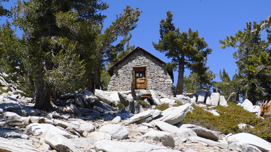
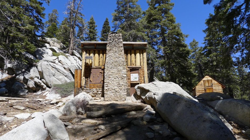
A Ranger Station located a hundred feet below the summit.
|
BarbE leads the way.
|
BarbE on the summit.
|
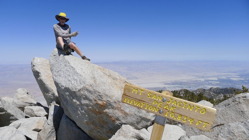
Me on the summit... with the Coachella Valley and the Little San Bernardino Mountains in the distance.
|
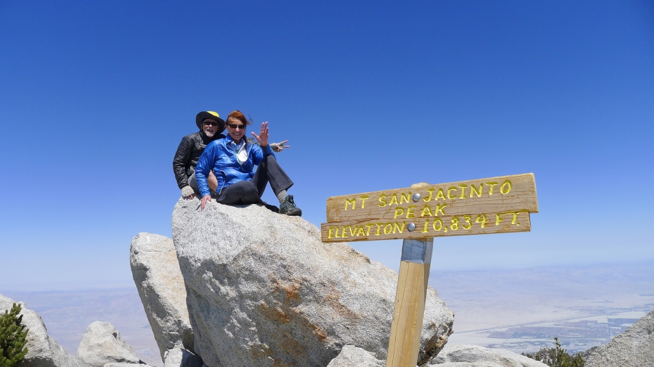
Group shot on the summit.
|
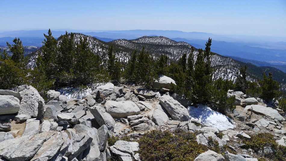
Looking south to Jean Peak in the left foreground... and Marion Mountain in the center of the photo.
|
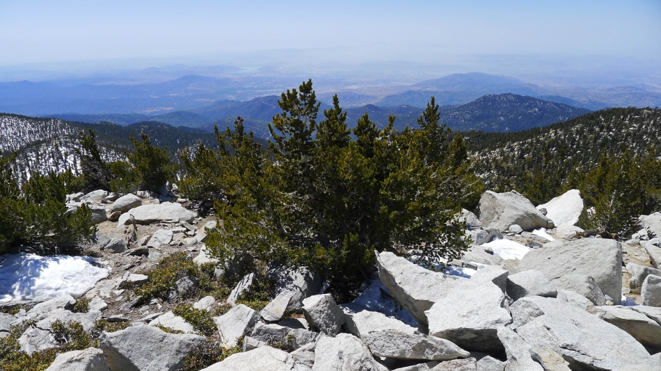
Looking west to the San Jacinto Valley.
|
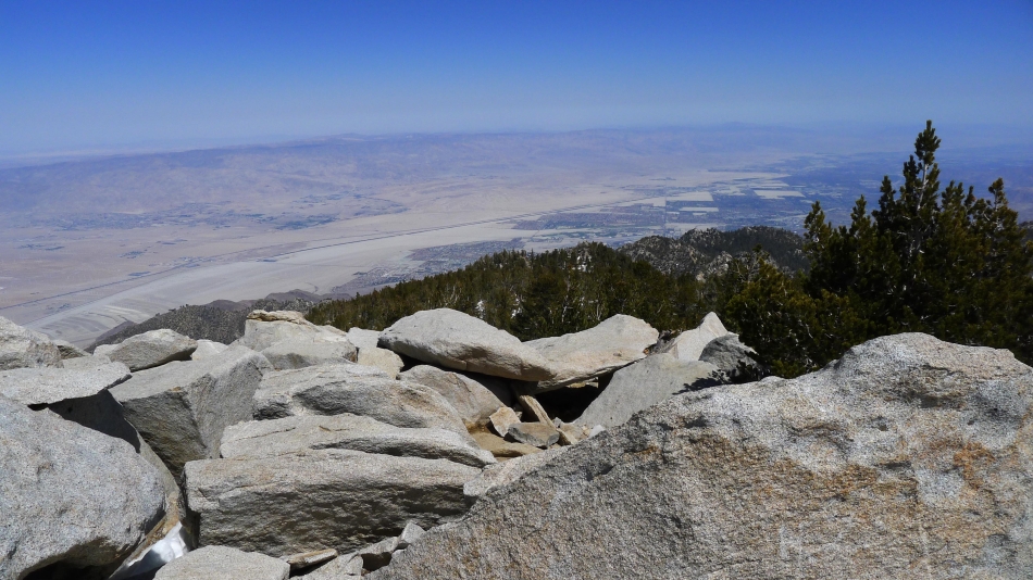
Looking east to Coachella Valley.
|
