Maze Loop Trail - 4.17.2015
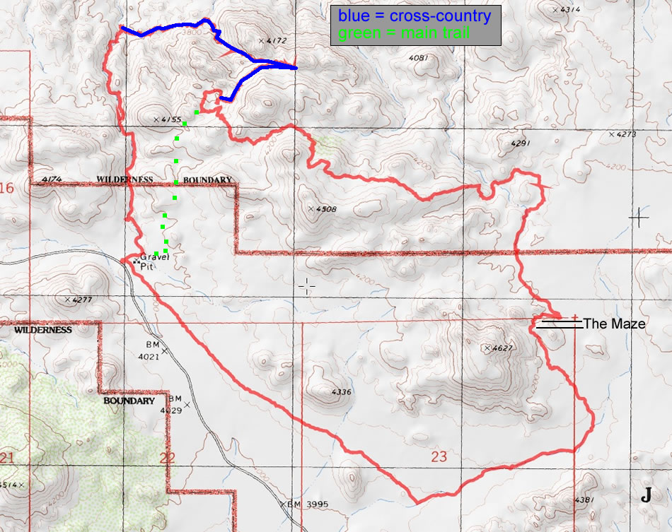
A photo of our GPS track for The Maze Loop in Joshua Tree National Park... 8.75 miles roundtrip, gaining 1250 feet of elevation.
|
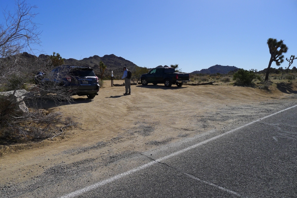
1.8 miles beyond the West Entrance to the park is a dirt parking area for The Maze Loop... room for 5 cars. This hike is not advertised very much.
|
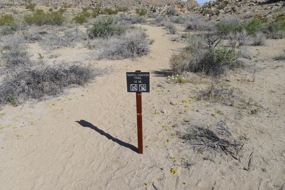
We walked less than an eighth of a mile and immediately turned onto the wrong trail... and would stay on the North Canyon Trail for more than a mile before realizing we had made the mistake.
|
Marching along on the North Canyon Trail... not realizing that it was the wrong trail.
|
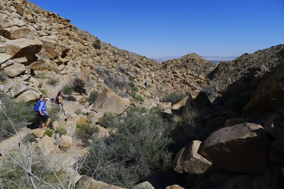
Finally we figured out that we were on the wrong trail... and decided to go cross-country and connect with the Maze Loop Trail.
|
Heading cross-country now... creating a maze of our own.
|
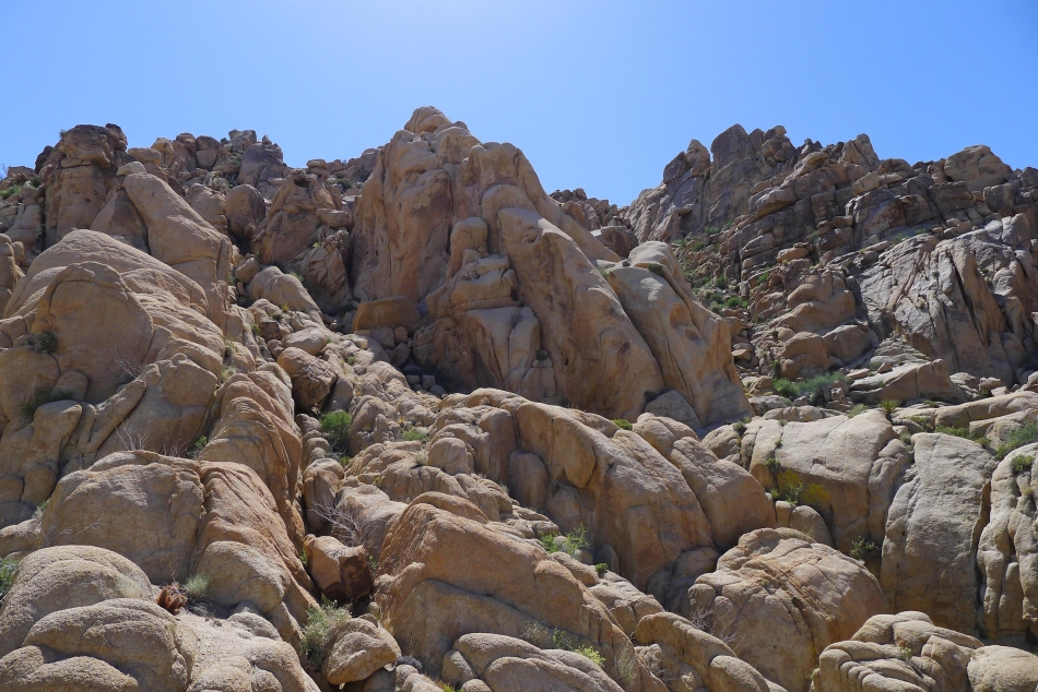
There were some very large boulders on the cross-country portion of our loop hike.
|
BarbE and tomman wondering what they have gotten themselves into.
|
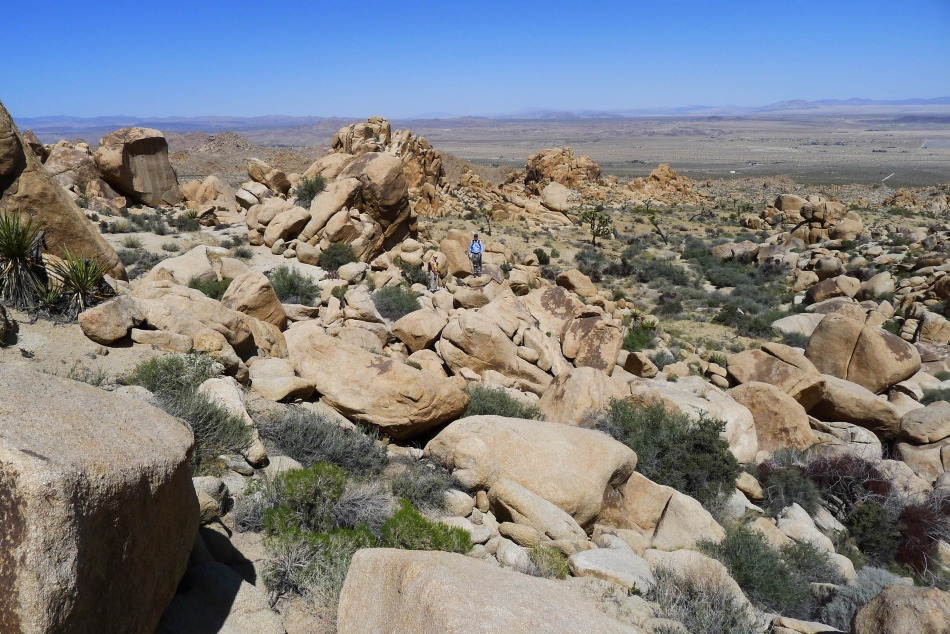
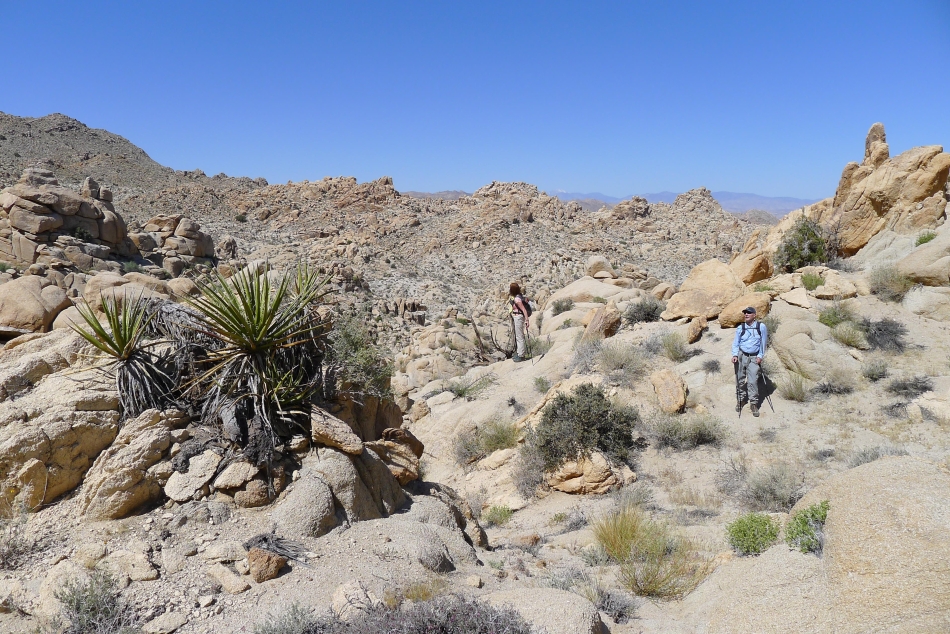
Going over and around very large boulders as we try to get back on route with the Maze Loop Trail... Yucca Valley is in the distance.
|
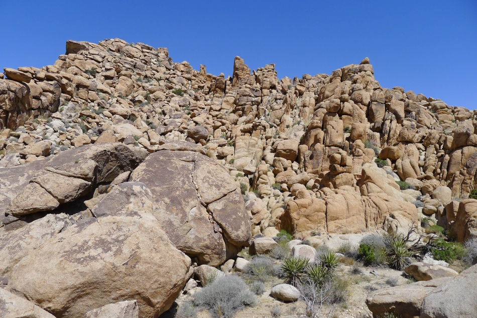
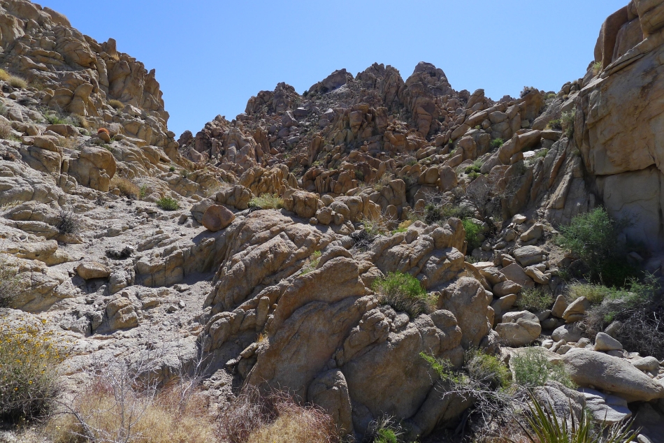
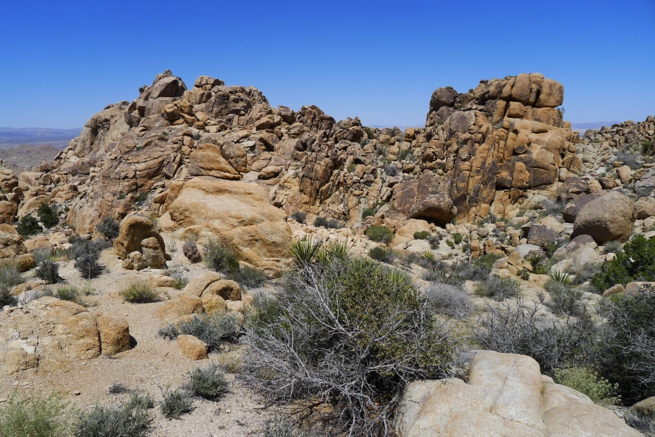
Awesome rock formations.
|
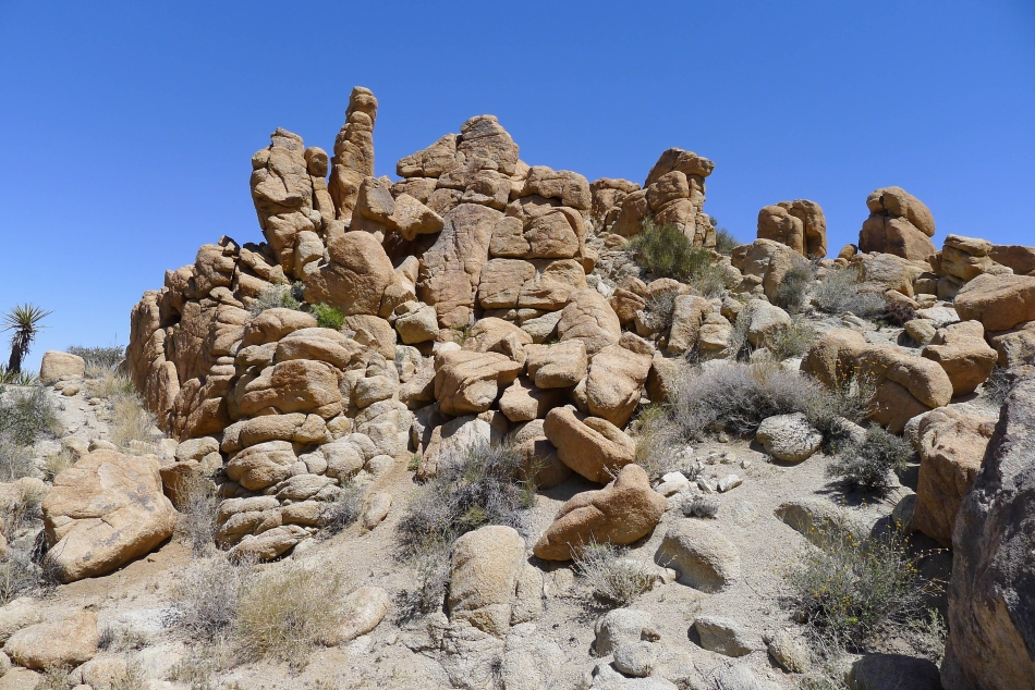
Rocks.
|
tomman ran into a Yucca plant... and BarbE applied the first-aid.
|
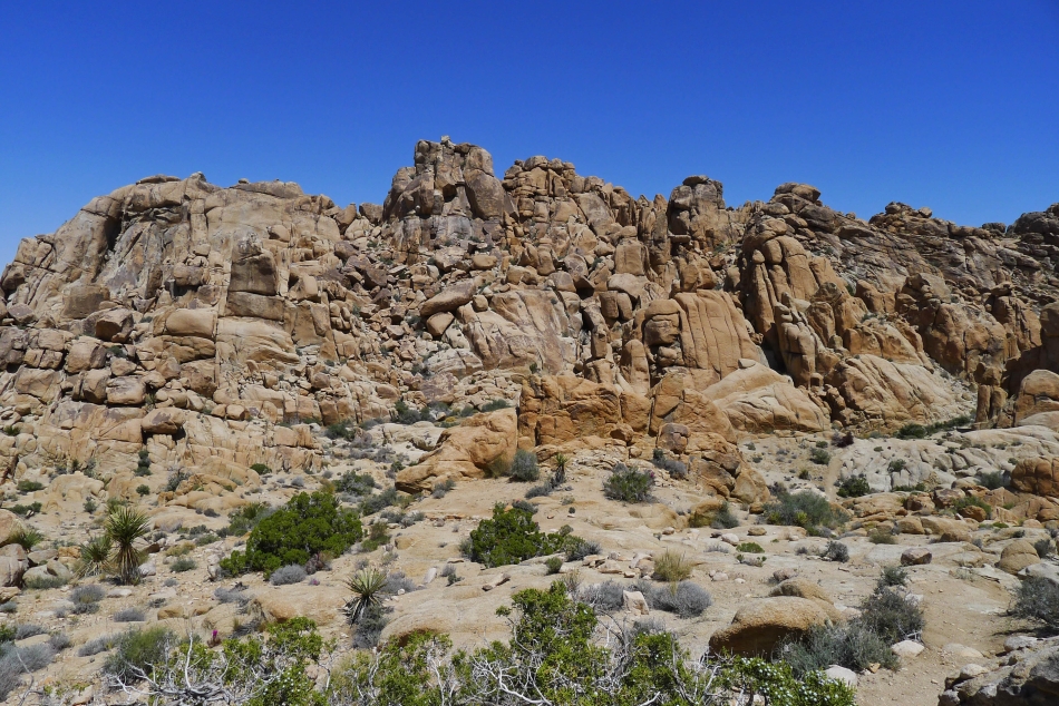
Rocks.
|
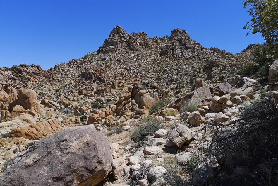
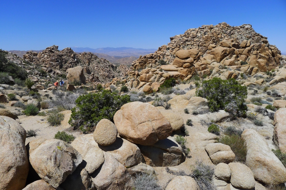
We crossed over the little pass on the left side of the photo... and are very close to finding the Maze Loop Trail.
|
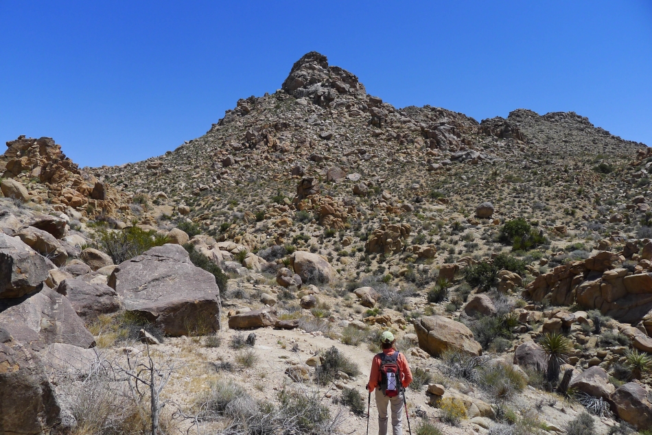
Still looking for the trail.
|
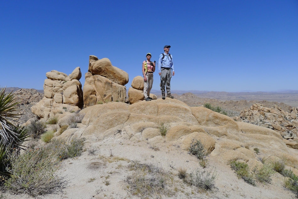
BarbE has found the trail... it should be smooth sailing from here to the car... of course we still have more than 5 miles of hiking to go.
|
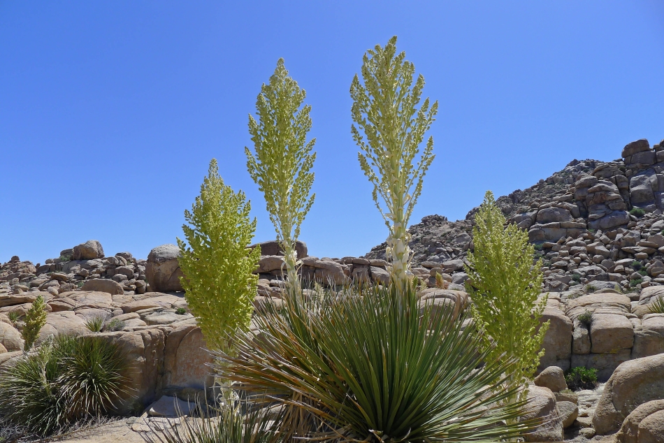
Parry's Nolina in bloom... we are near the real maze portion of the hike now at the east end of the loop.
|
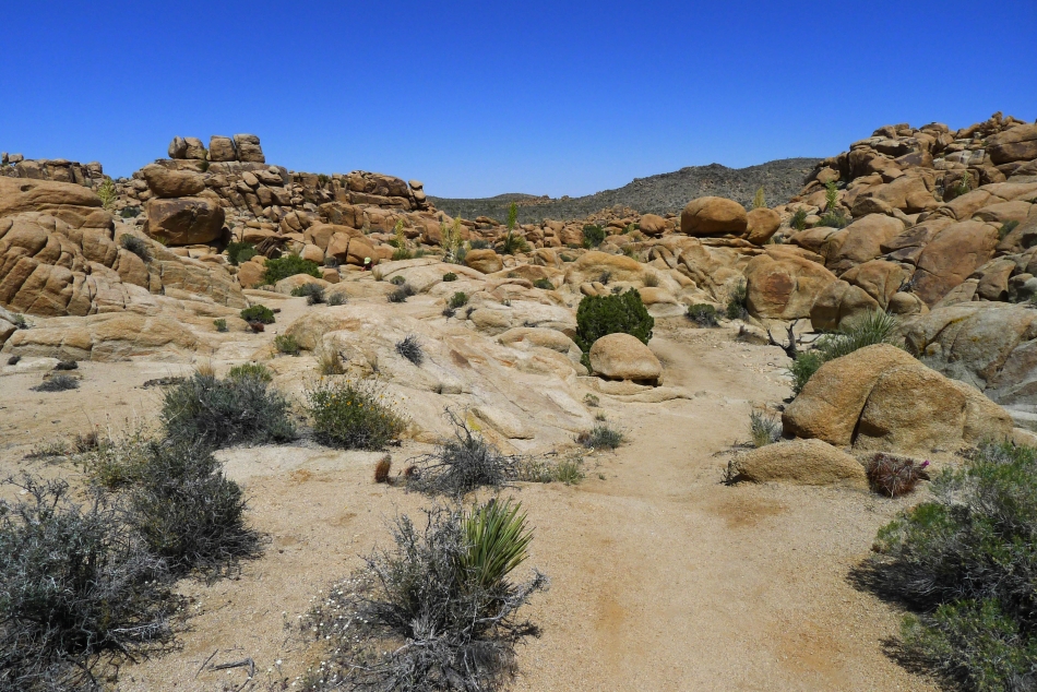
Hiking through the maze portion of the loop hike.
|
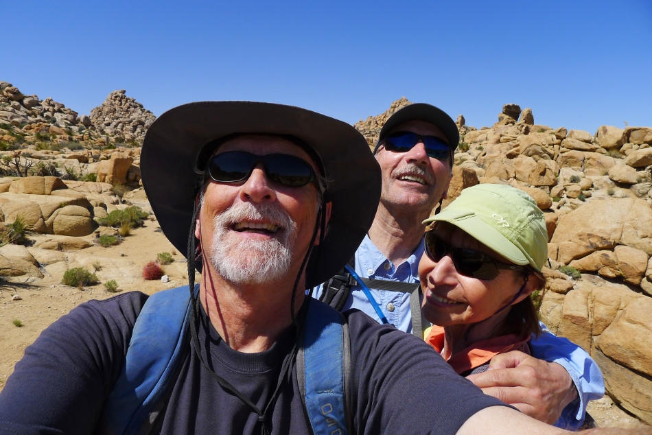
A selfie from The Maze... ragman, tomman and BarbE.
|
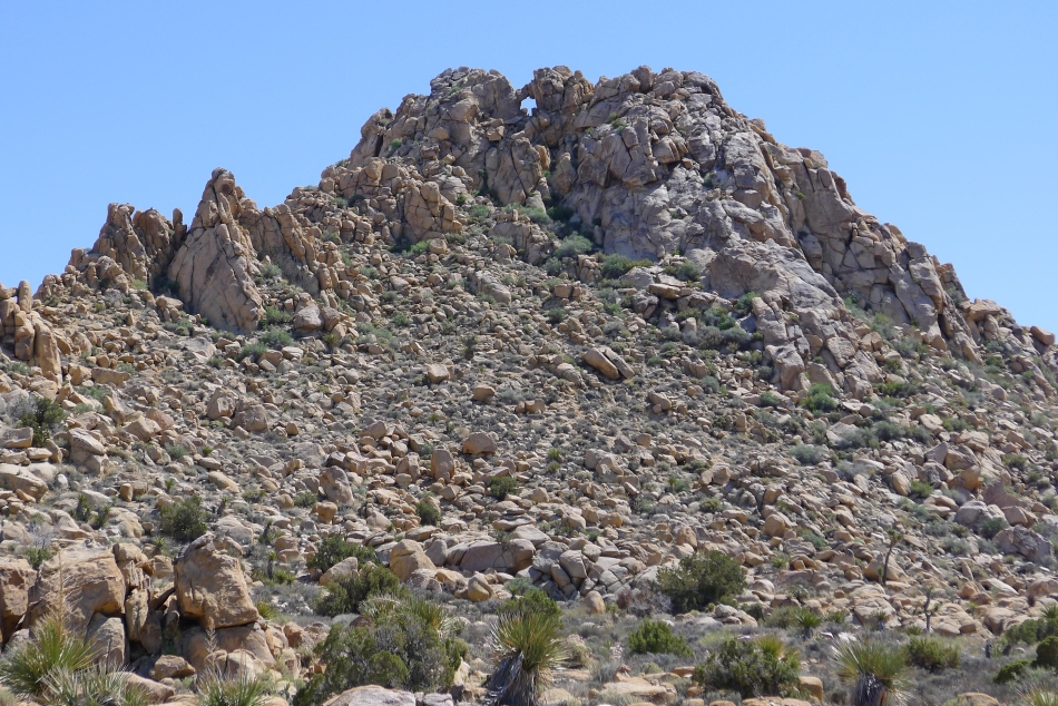
Looks like a window near the top of this rock pile... still 2 miles of hiking to reach the car.
|
