Pinto Mountain - 4.26.2015
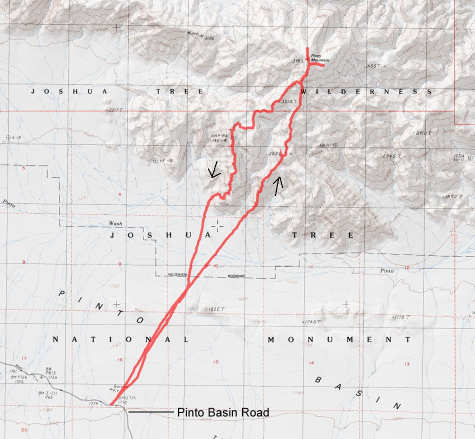
A photo of our GPS track to Pinto Mountain in Joshua Tree National Park... 10.9 miles roundtrip, gaining 3300 feet of elevation.
|
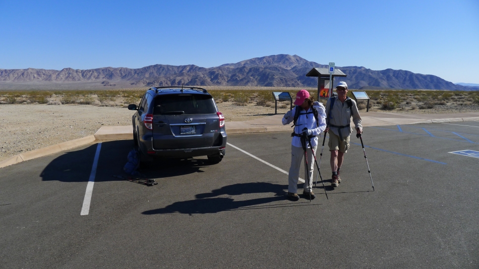
Last minute adjustments after parking at Turkey Flats on the Pinto Basin Road... our target is in the distance.
|

The sign board shows 3 routes to the summit... we will take the direct route to the summit... and take a completely different route most of the way down.
|
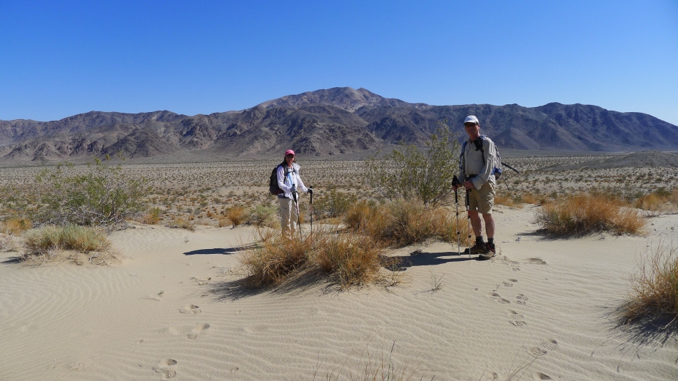
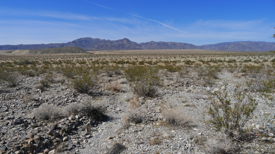
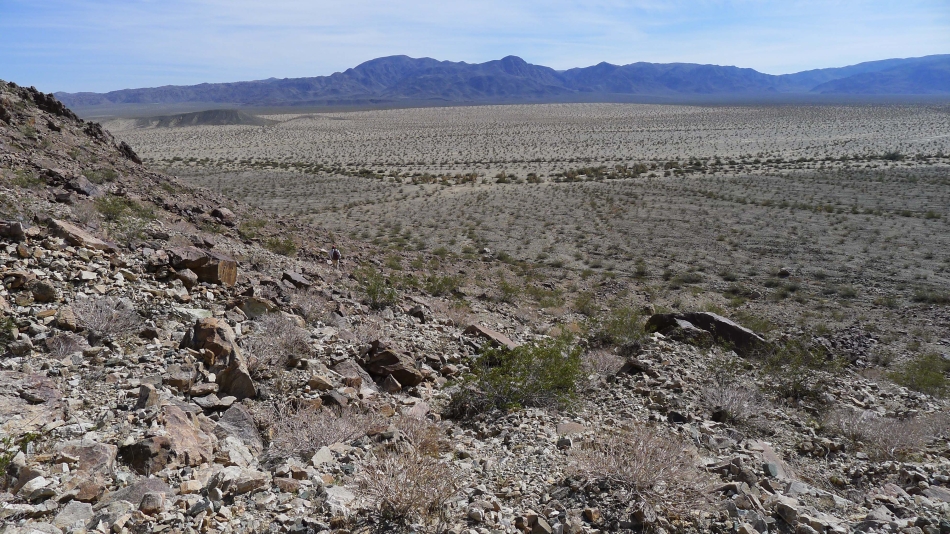
The first two miles of the hike are across the mostly flat Colorado Desert in Pinto Basin... Snowdog and robman are standing on a sand dune that marks the half-way point of the desert walk.
|
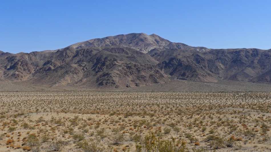
We will head for the rib in the right-center of the photo.
|
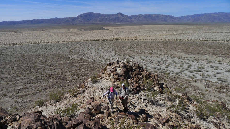
Almost ready to start gaining serious elevation... looking back at our desert crossing... with the huge sand dune running east and west through Pinto Basin... and the Hexie Mountains on the horizon.
|
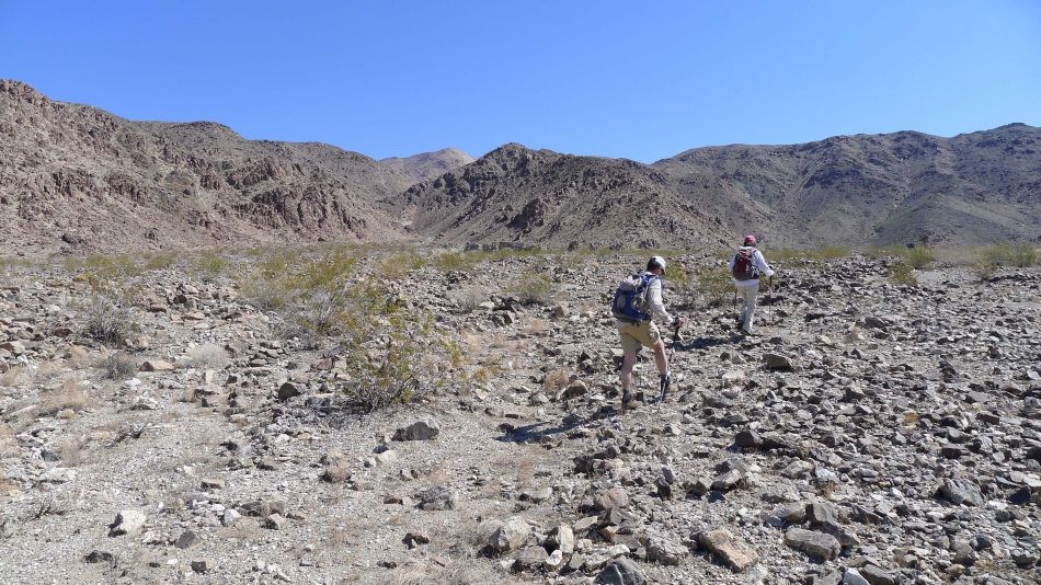
Nearing the rib we will use to start up.
|
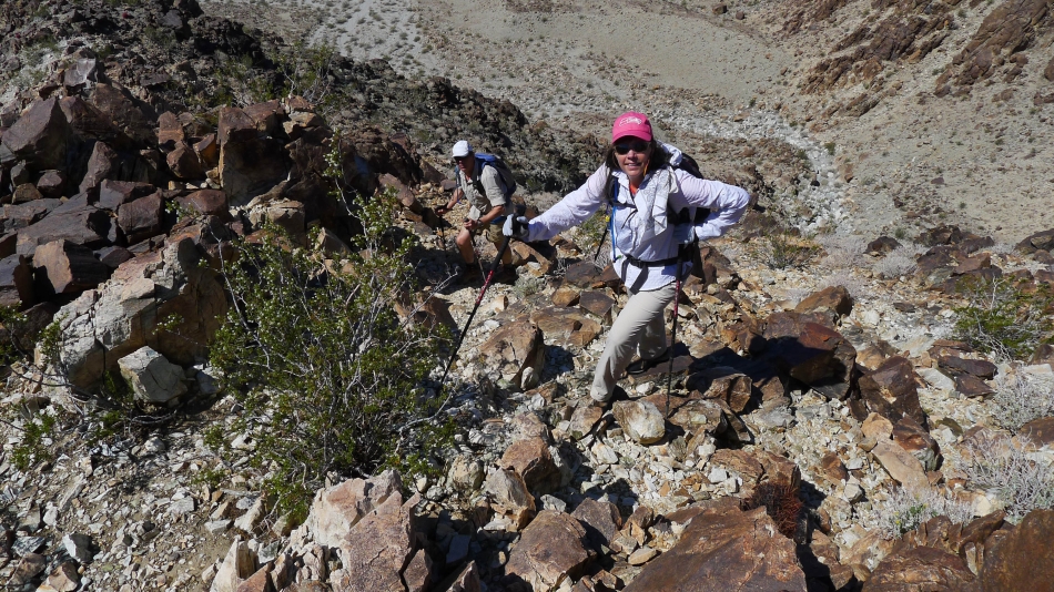
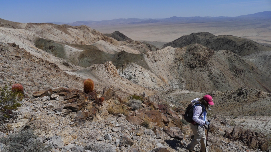
Snowdog has found a good looking path to start the ascent... lots of barrel cactus clash with her pink hat.
|
Gaining elevation on a reasonable path... looking across Pinto Basin to the Hexie Mountains.
|
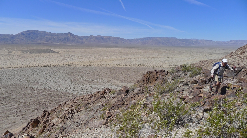
robman ascending.
|
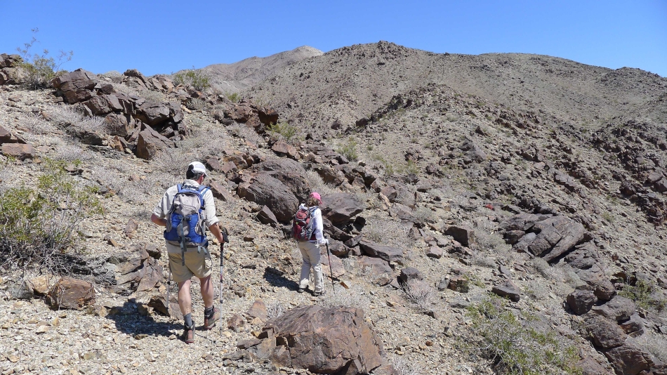
Still on a reasonable path.
|
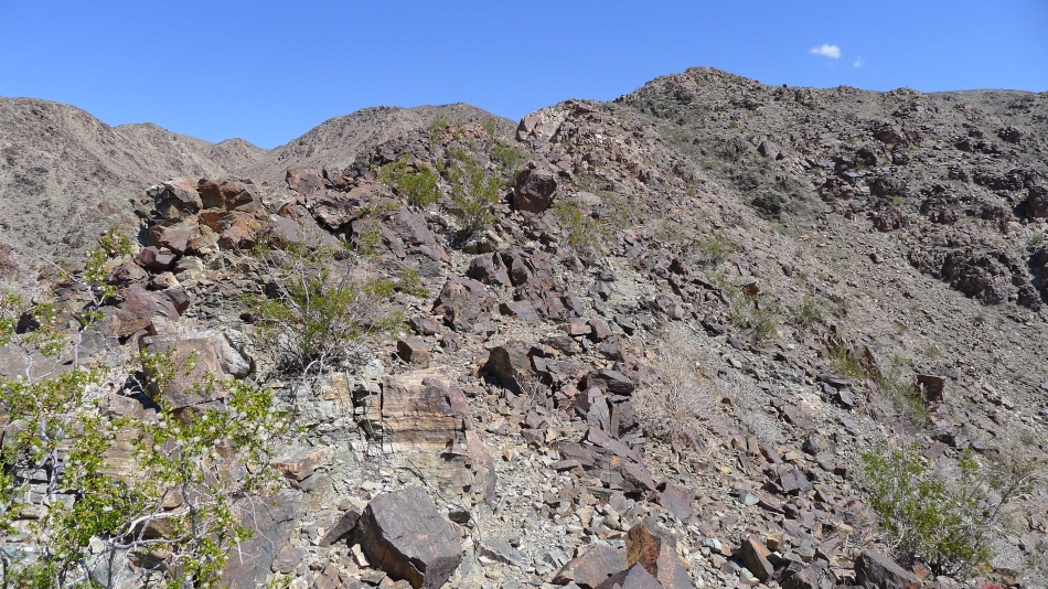
The path is faint at times.
|
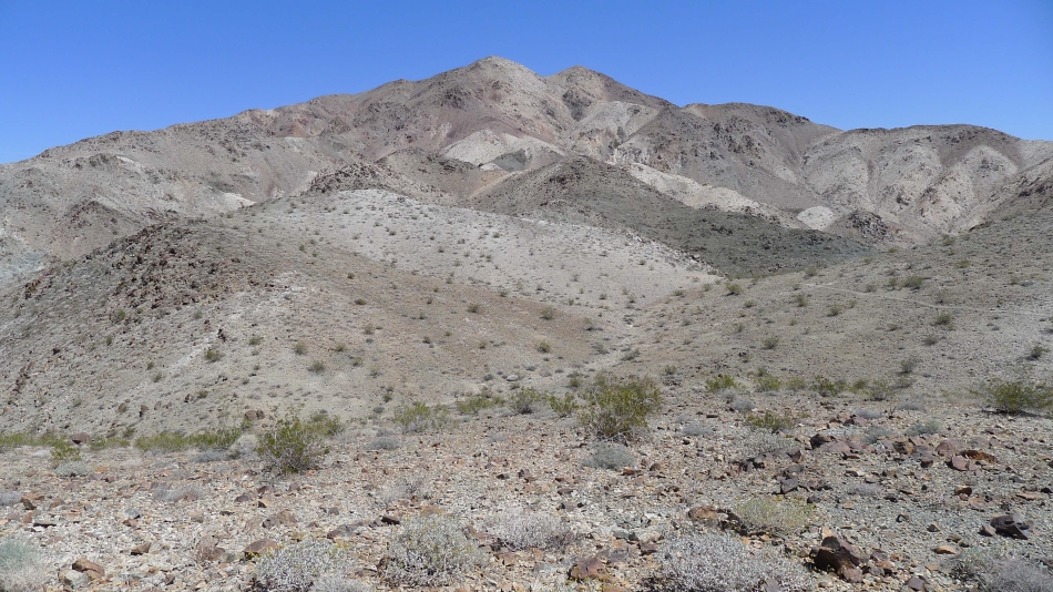
Still heading up... looking for Point 2820.
|
Are we having fun yet?
|
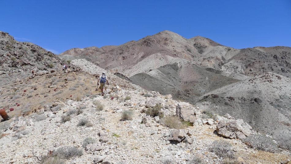
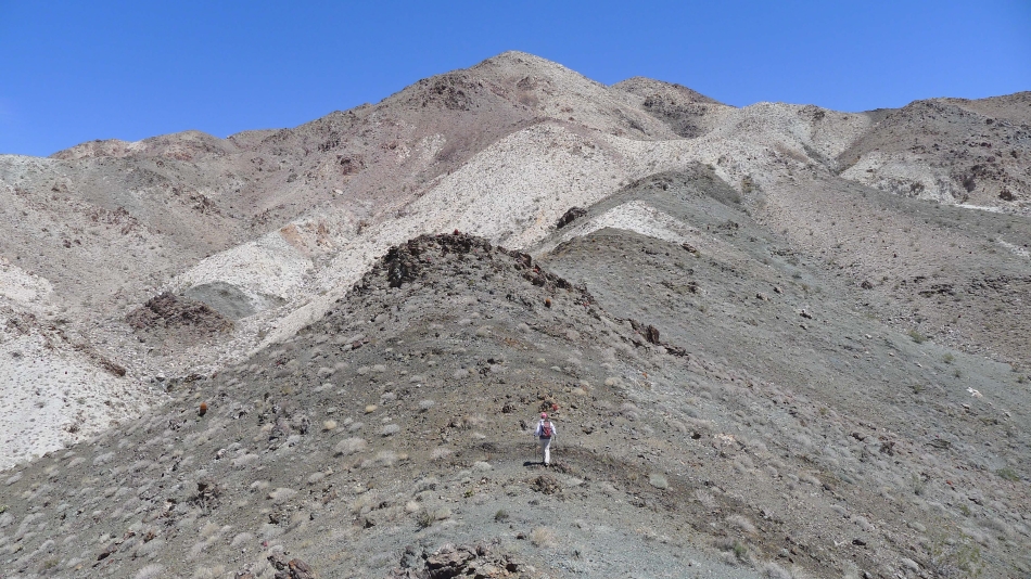
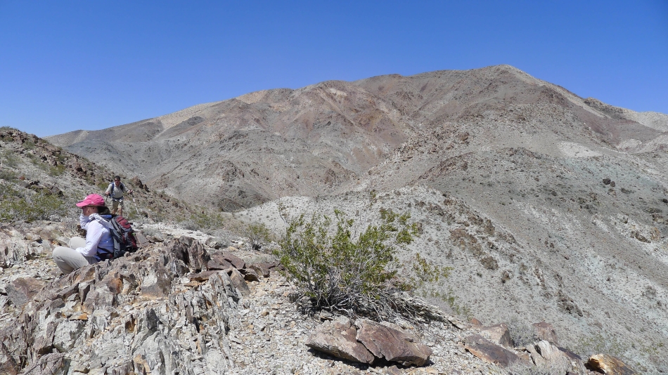
Nearing Point 2820... the approximate half-way point for our elevation gain.
|
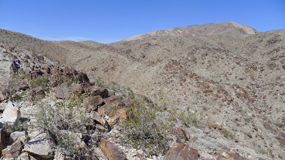
There are going to be plenty of ups and downs on the way to the summit.
|
Snowdog and robman heading for the summit.
|
Snowdog leads the way.
|
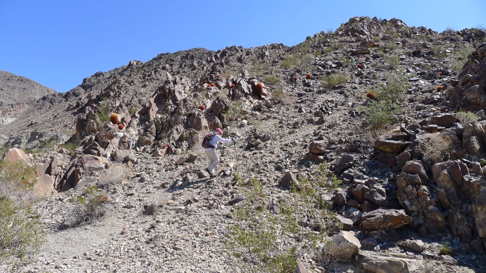
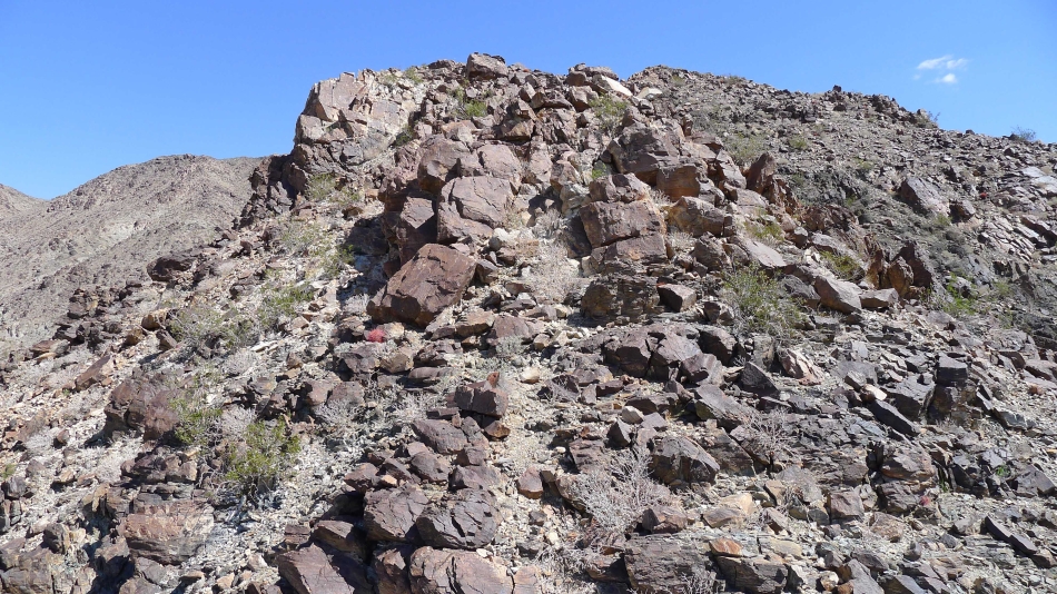
The terrain steepens at ~3200 feet.
|
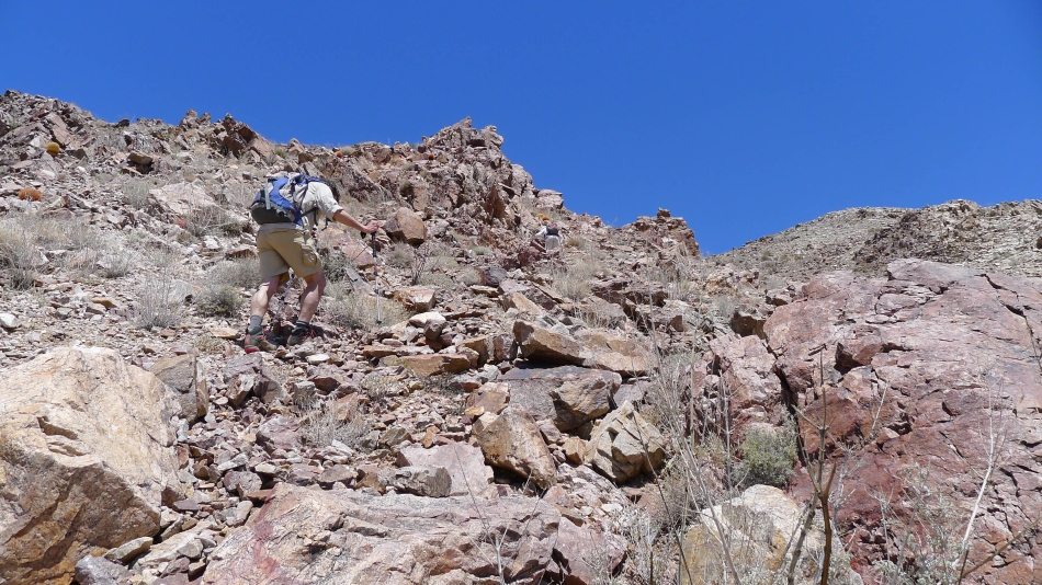
On steeper terrain.
|
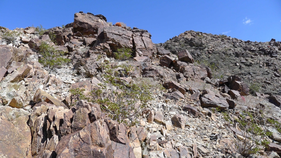
Still ascending.
|
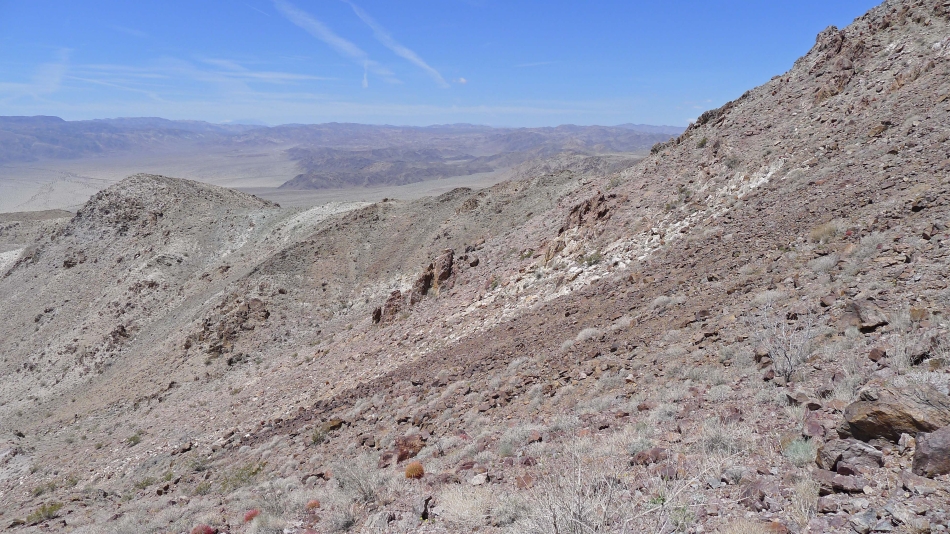
Looking back... we have come up the ridge in the center of the photo... and will go down using the black ridge on the right.
|
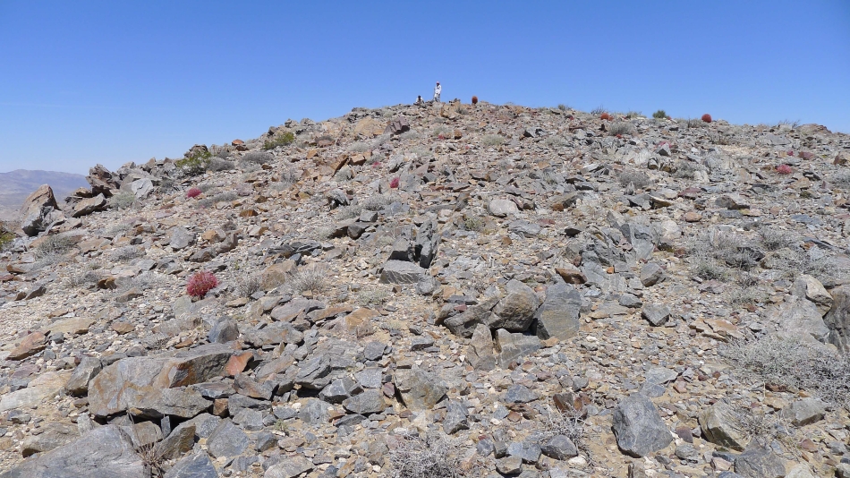
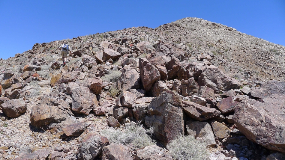
Easier terrain begins near 3800 feet... Snowdog and robman control the summit.
|
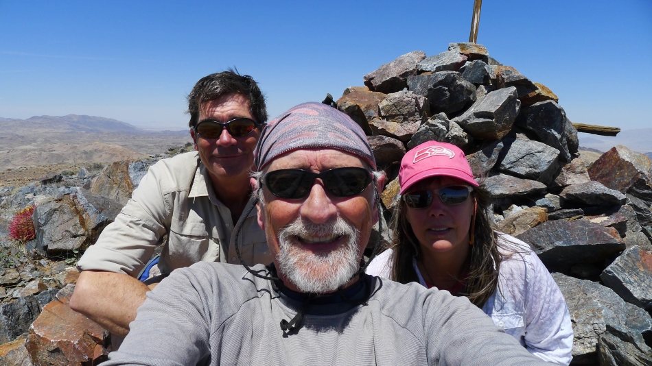
A selfie on the Pinto Mountain summit (3983').
|
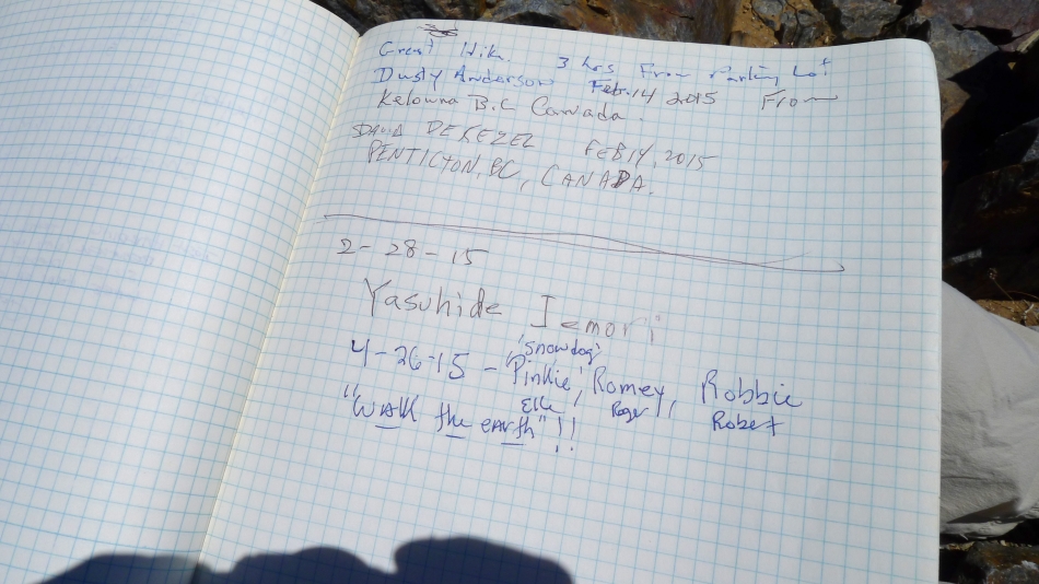
It has been almost 2 months since someone visited the summit.
|
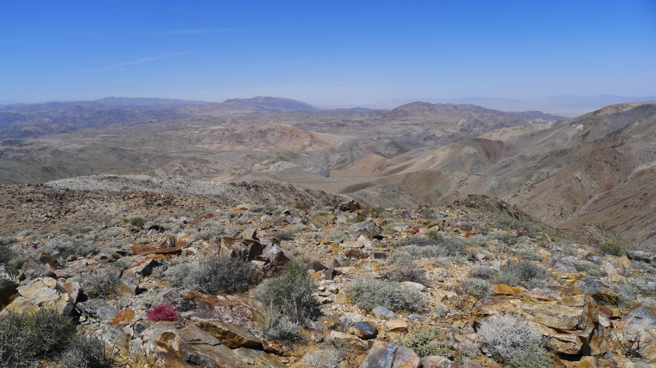
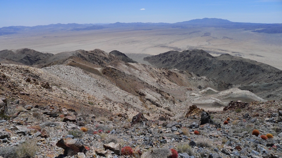
Looking west from the summit area... the variety of colors in the Pinto Mountains is amazing.
|
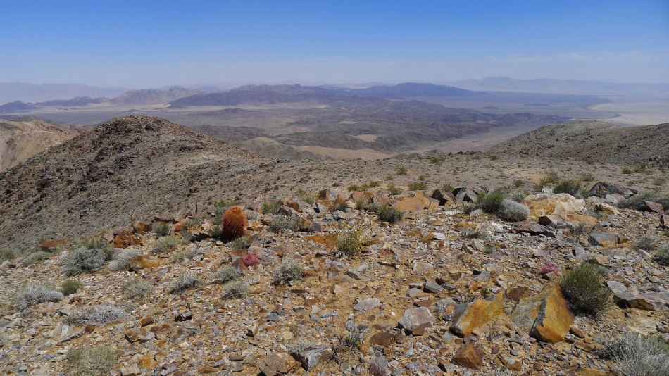
Looking north from the summit.
|
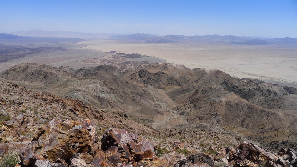
Looking east from the summit.
|
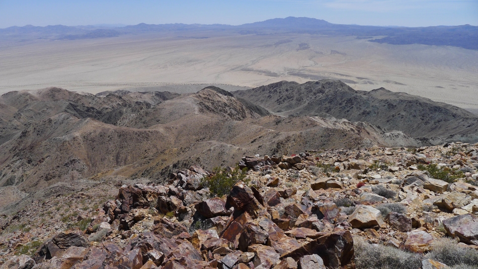
Looking south (the way we came up) from the summit.
|
Heading down now... we ascended via the ridge running through the middle of the photo.
|
Trying to find a good way down.
|
Still looking for the best exit route.
|
Snowdog has found a way down.
|
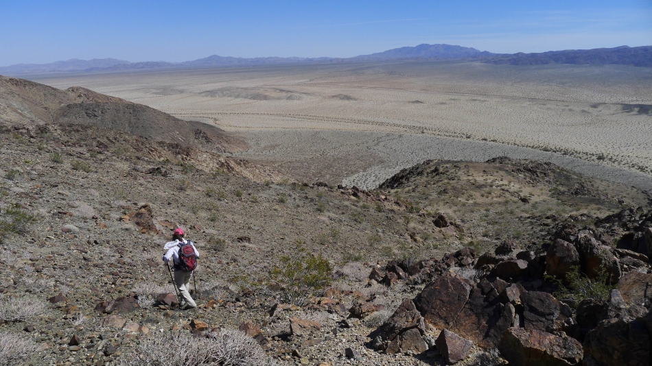
Almost back down to the desert floor... leaving a 2 mile desert hike back to our car.
|
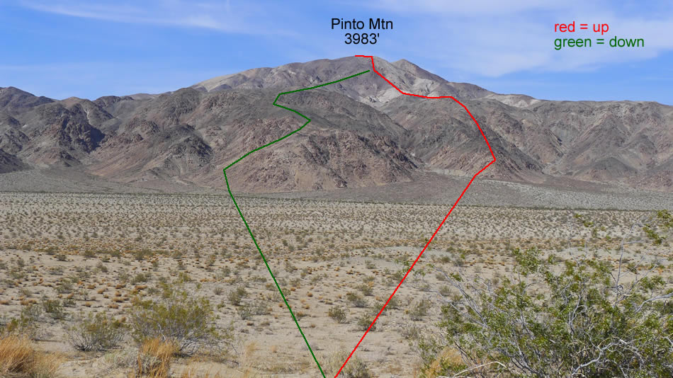
Our approximate route up and down Pinto Mountain... if I did this hike again, I would use the red route up and down.
|
