Queen Mountain - 4.28.2015
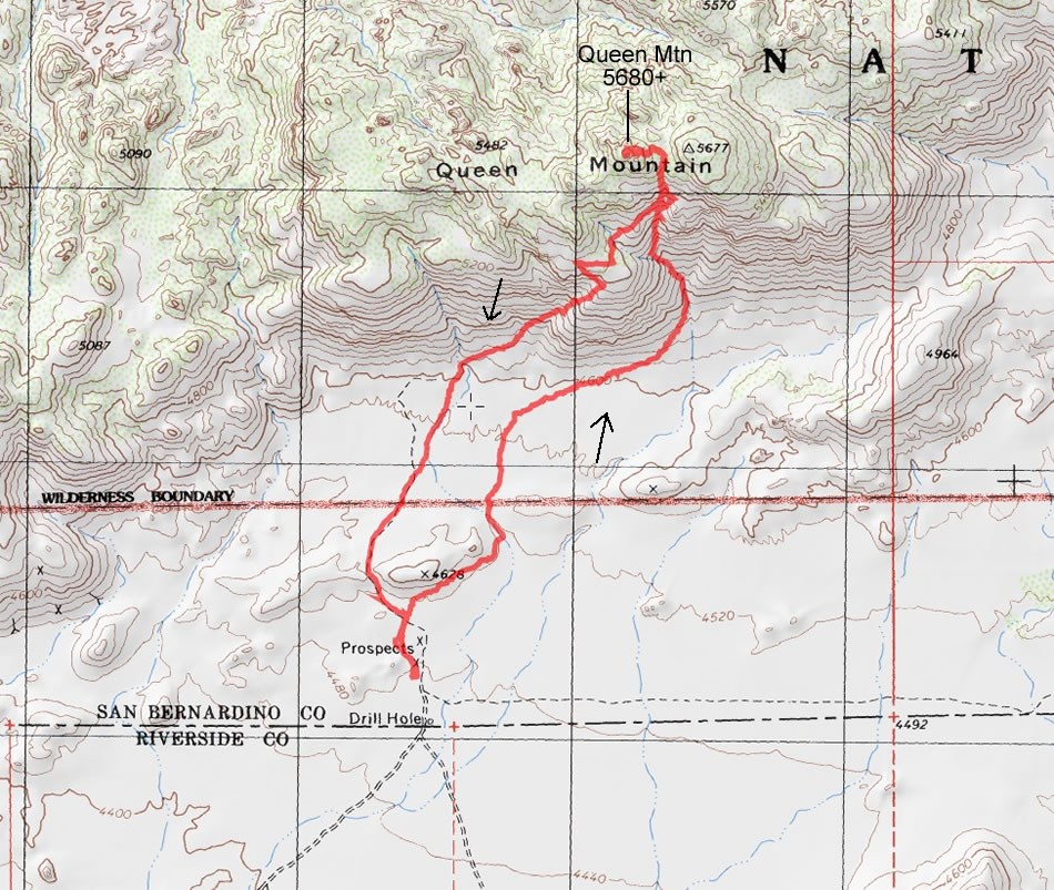
A photo of our GPS track to Queen Mountain in Joshua Tree National Park... 4.2 miles roundtrip, gaining 1316 feet of elevation.
|
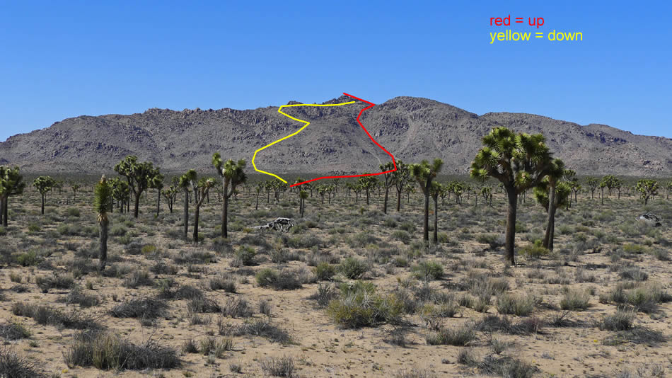
Queen Mountain from Queen Valley Road... showing our approximate route up and down the mountain.
|
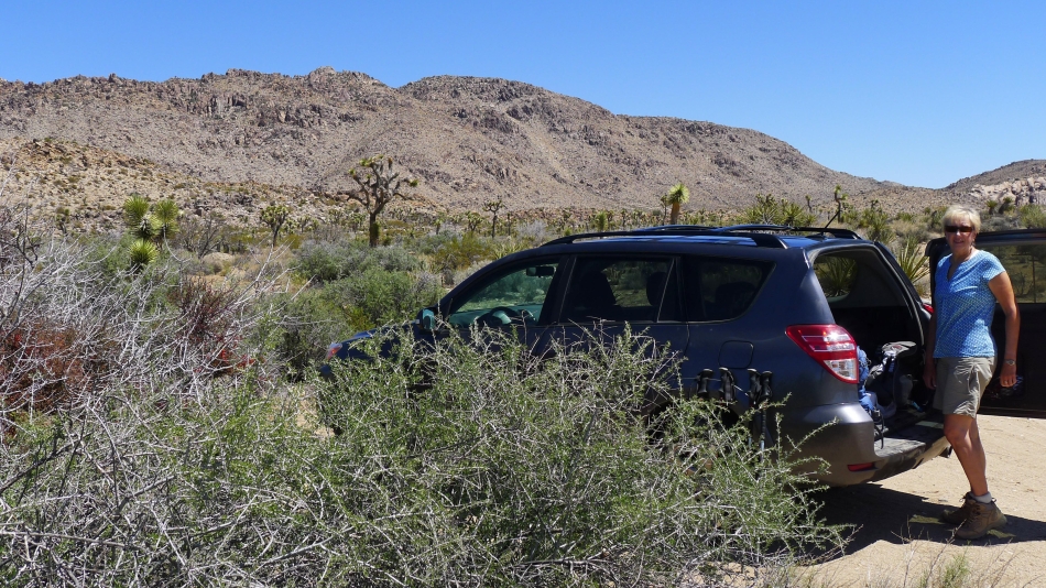
The trailhead is kind of primitive... it is at the end of Odelle Road (a dirt road) and there is no trailhead sign.
|
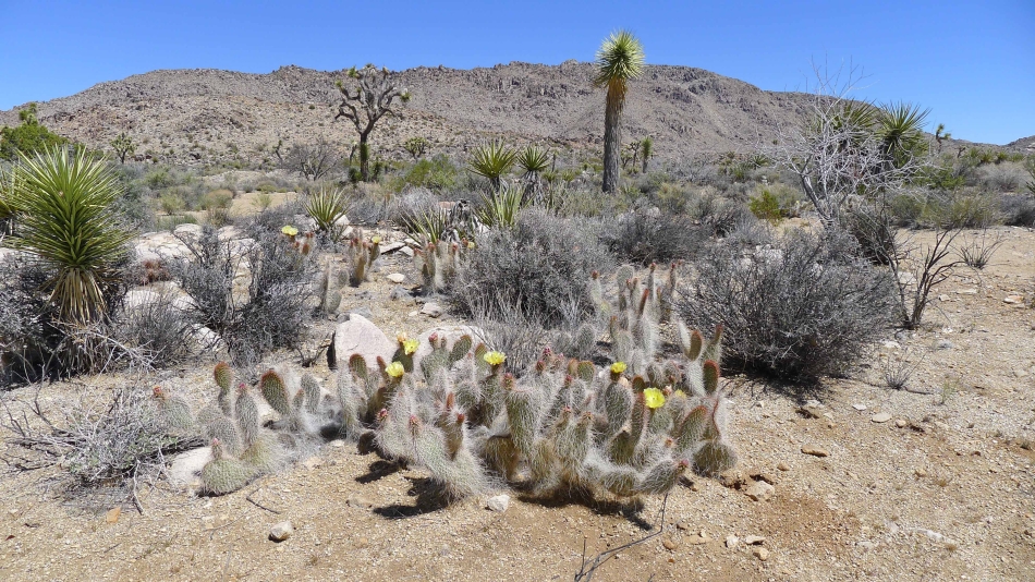
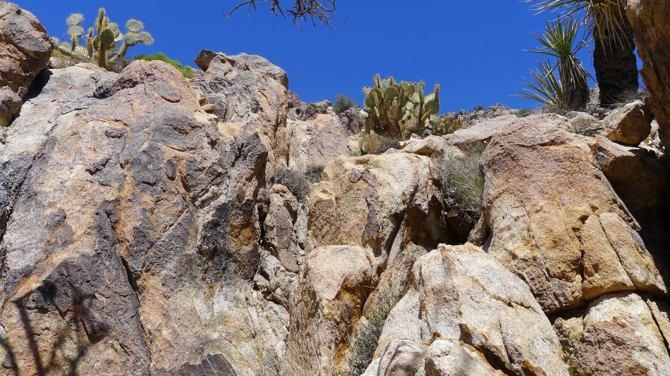
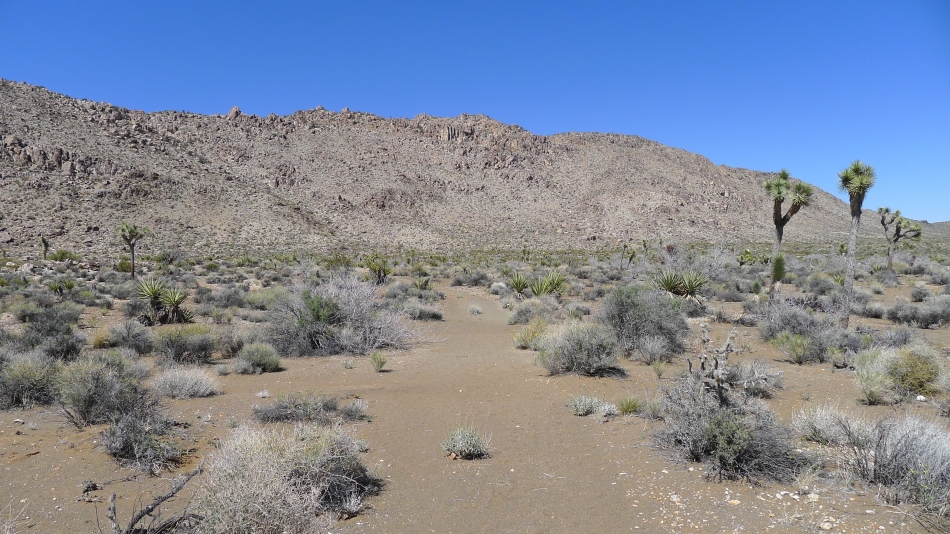
Lots of Mojave Prickly Pear Cactus on the hike... we had very little evidence of trail until we reached the gully leading up to the summit area.
|
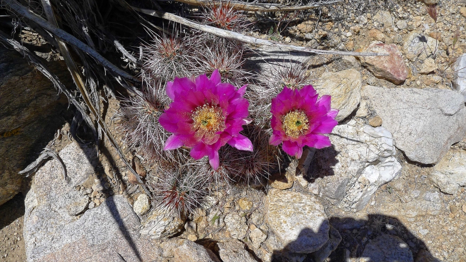
Hedgehog Cactus.
|
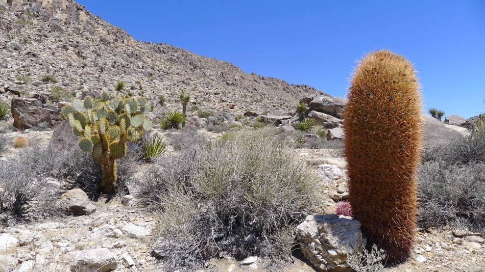
Heading for the south gully on Queen Mountain... Prickly Pear Cactus on the left... and Barrel Cactus on the right.
|
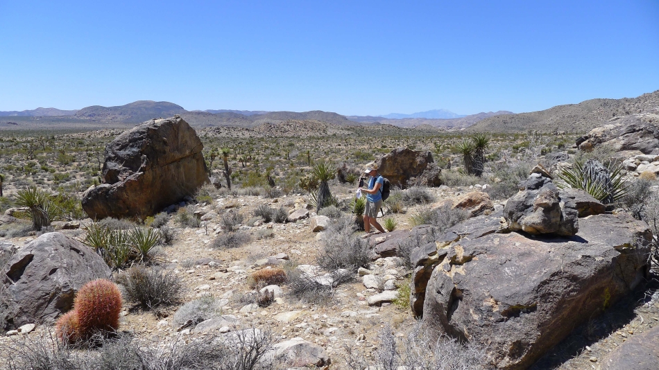
Denali Girl on the way to Queen Mountain.
|
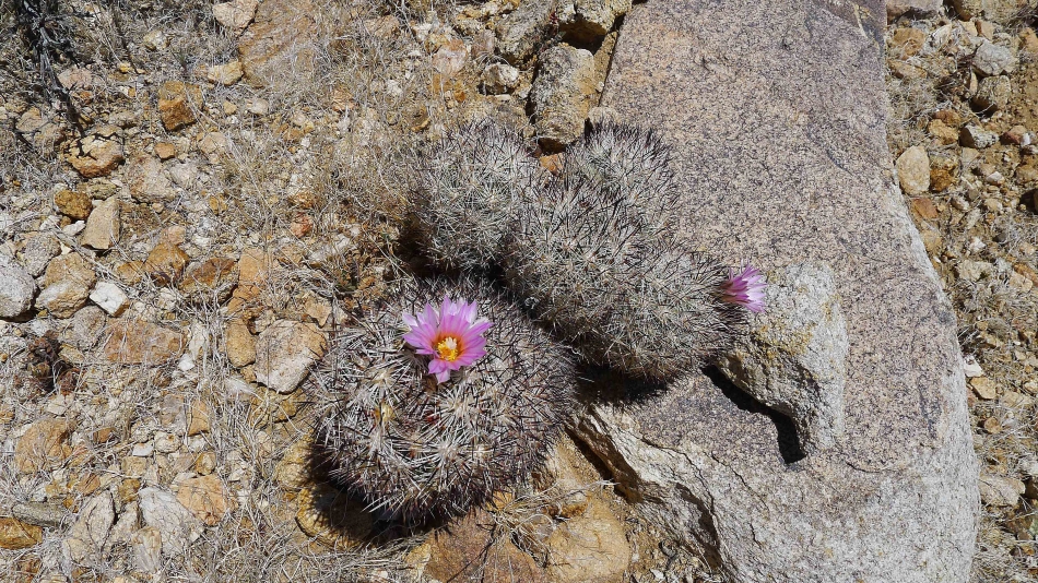
Foxtail Cactus.
|
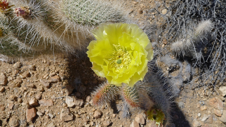
Mojave Prickly Pear Cactus.
|
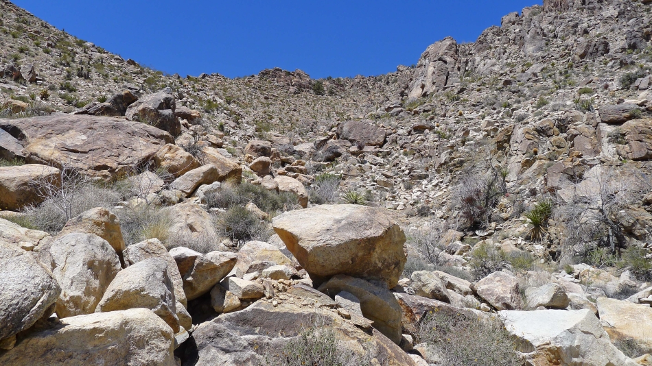
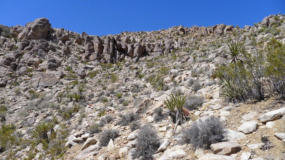
Queen Mountain's south gully... there was a path of sorts leading up it.
|
Still ascending the south gully.
|
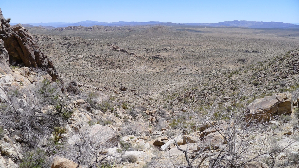
Ascending and looking down on Queen Valley.
|
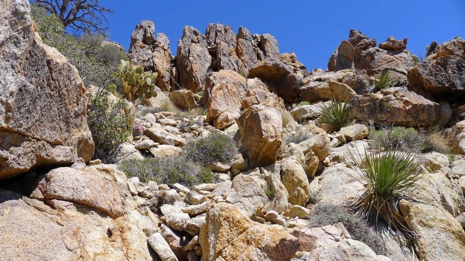
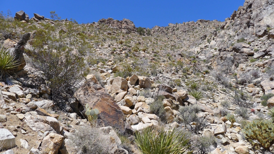
Gnarly terrain near the top of the gully.
|
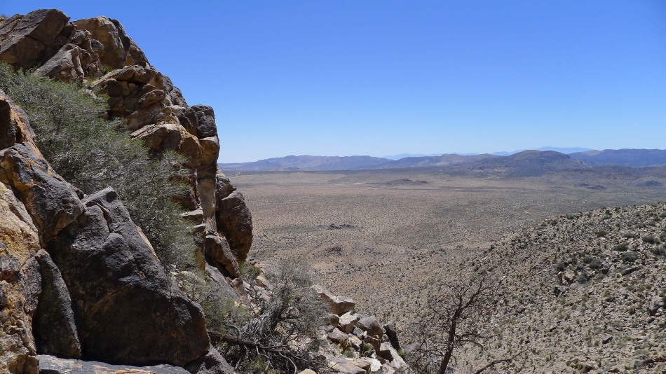
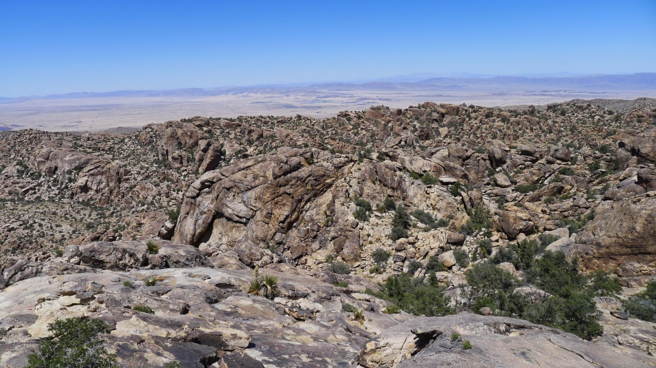
Higher now in the gully... looking down on Queen Valley.
|
Some Class 2 climbing here.
|
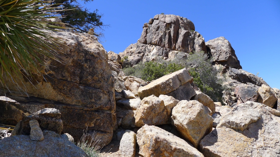
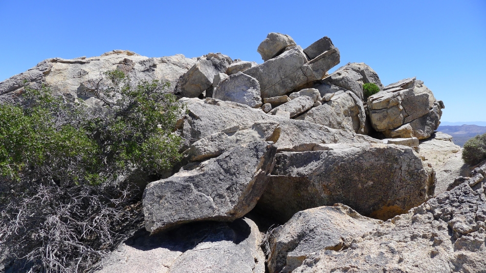
Nearing the summit.
|
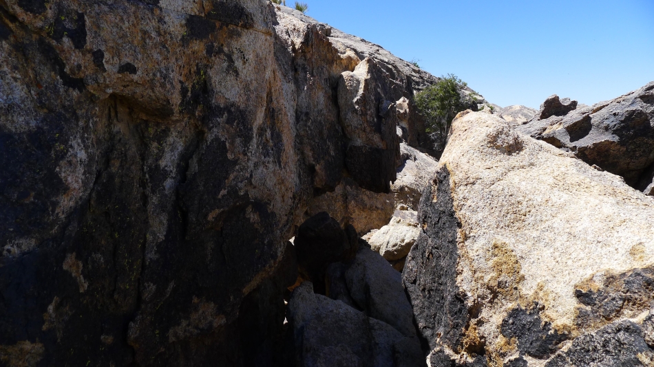
Need to get through this small passage to reach the summit.
|
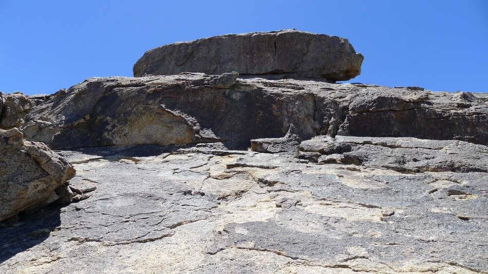
If that is the summit, it could be interesting.
|
Now it looks easy.
|
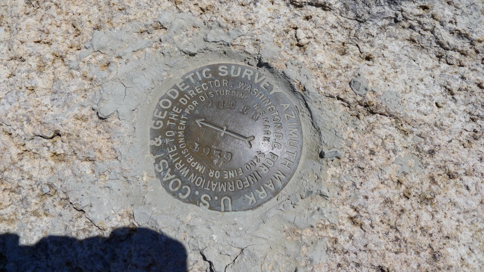
The Queen Mountain survey marker.
|
From the Queen Mountain summit (5680+) I am looking north to Yucca Valley.
|
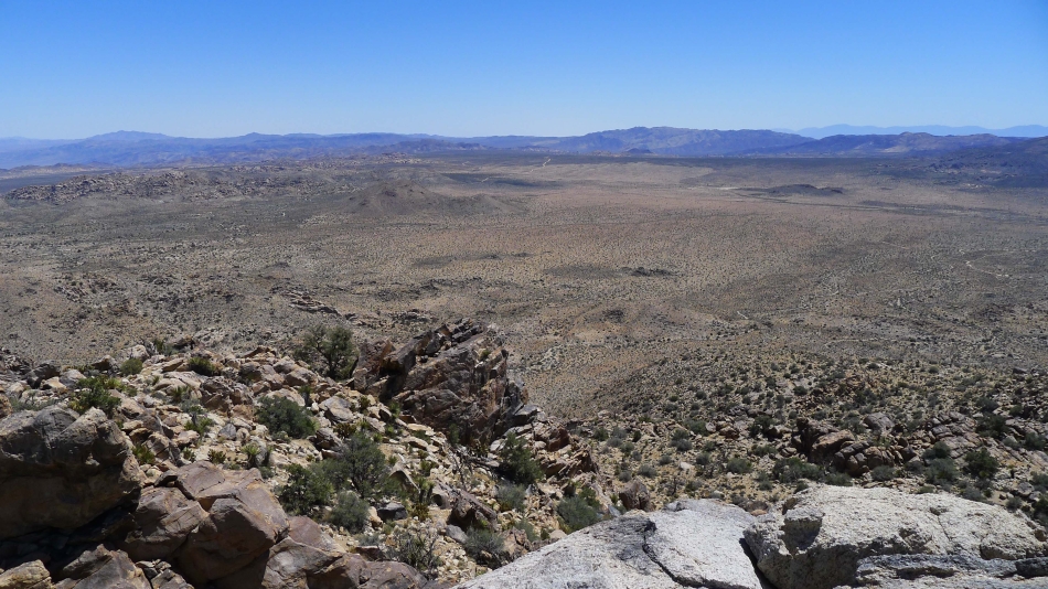
Looking south to Queen Valley.
|
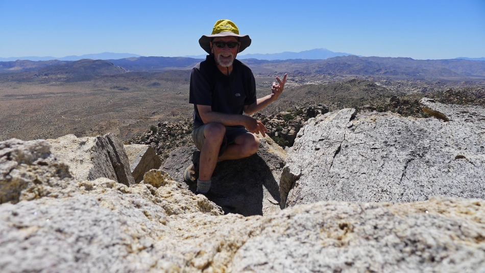
On the summit of Queen Mountain.
|
On the way down I was about 300 feet below the summit... and found a really nice collection of cairns that I decided to follow... the route avoided the steep south gully... and worked very nicely.
|
I even found a trail that led me most of the way back to the car.
|
