Howson Peak and Sasse Mtn - 5.7.2015
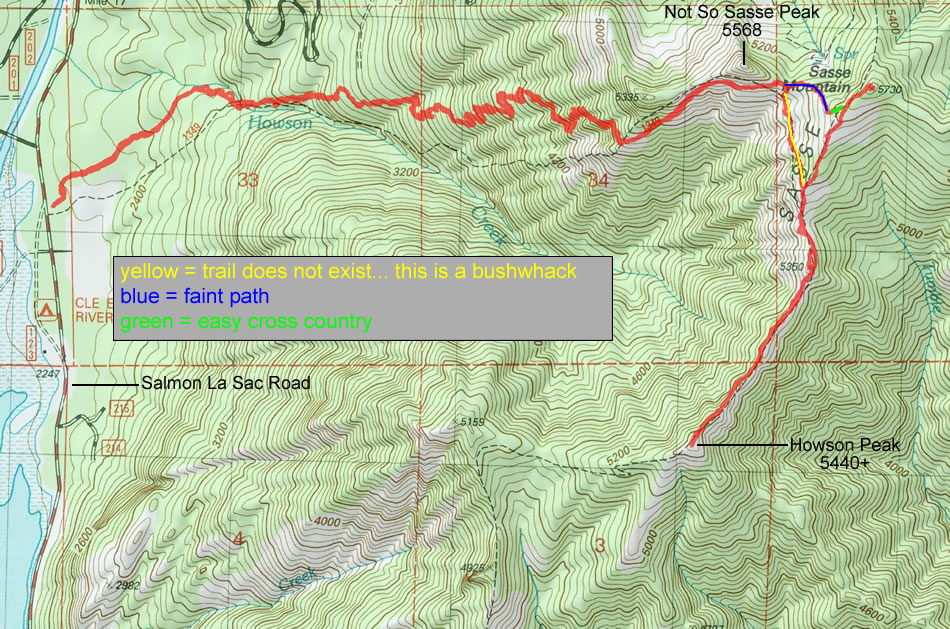
A photo of our GPS track to Howson Peak and Sasse Peak... 10.5 miles roundtrip, gaining 4160 feet of elevation.
|
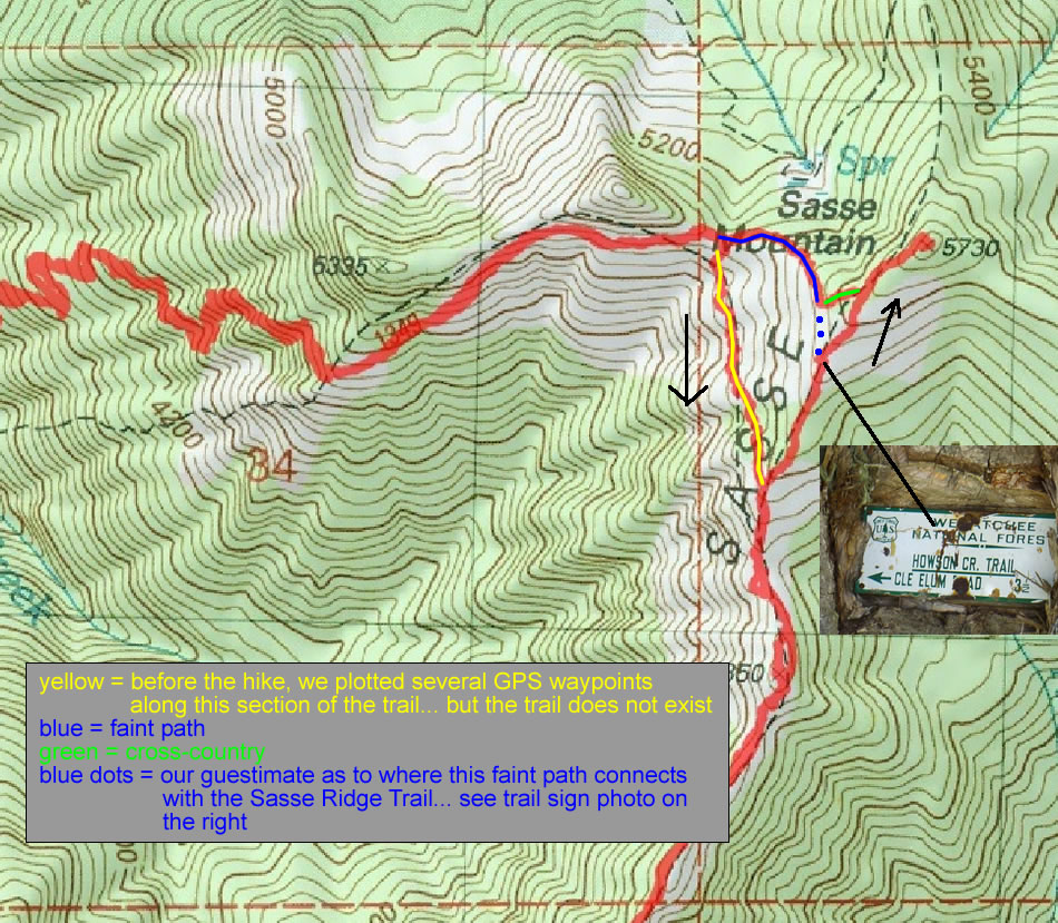
A closer look at a confusing spot in our hike. The yellow line shows the supposed trail... and we had created some GPS waypoints before the hike. Well, this section of the trail does not exist... and we think that the traverse over to the Sasse Ridge Trail begins 200 feet higher than the map shows.
|
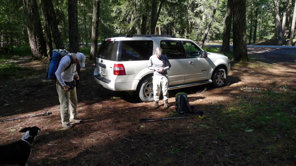
Parking (2240') on the east side of Salmon La Sac Road... just north of the Cle Elum River Campground entrance. There is no trail sign. Izzy watches us gear up for the hike... probably wondering what all the fuss is about.
|
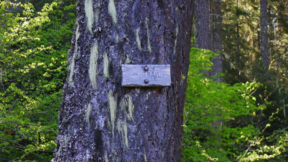
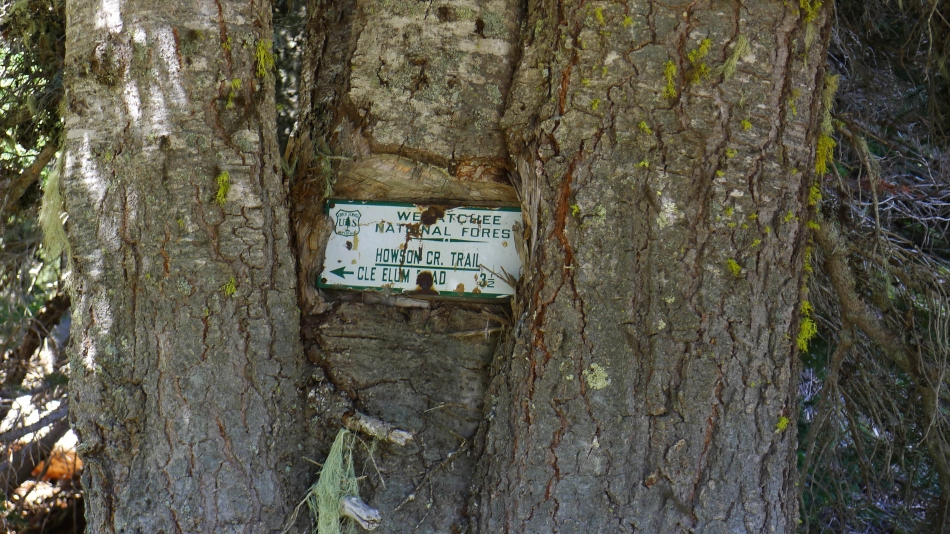
We hiked (probably could have driven) a quarter mile on a muddy road to the only sign we saw all day until we reached Sasse Ridge.
|
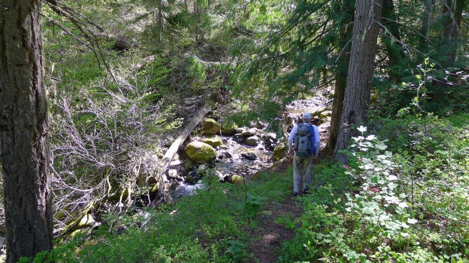
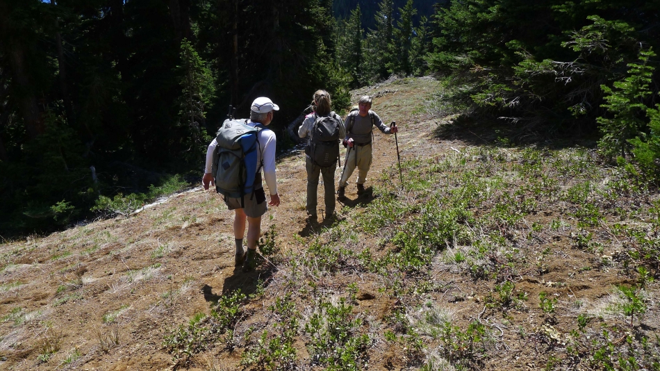
A quarter mile from the 'Trail' sign we crossed Howson Creek.
|
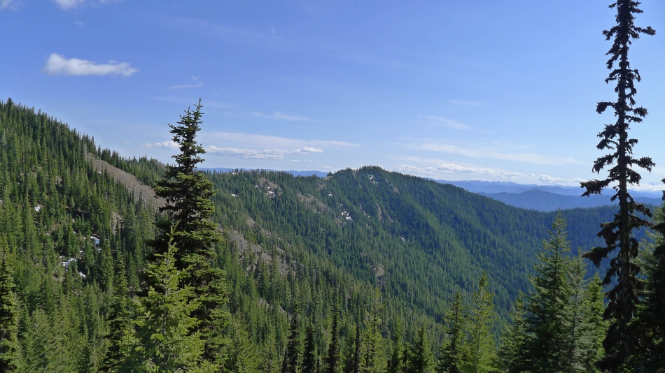
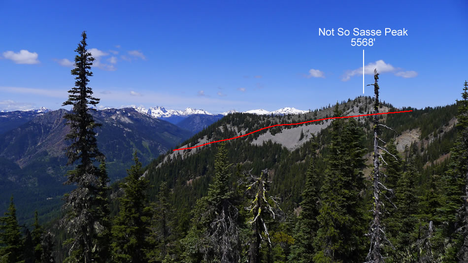
Coming out of the trees around 5000 feet... traversing underneath 'Not So Sasse Peak'... and looking at Sasse Ridge in the distance.
|
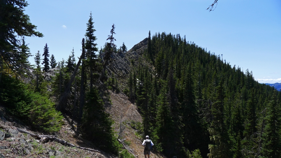
Underneath 'Not So Sasse Peak' and looking over at Howson Peak in the center of the photo.
|
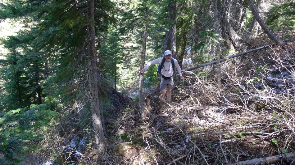
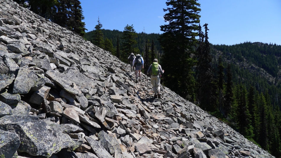
Bushwhacking our way over to join the Sasse Ridge Trail... the map said the trail was supposed to be there... but it wasn't.
|
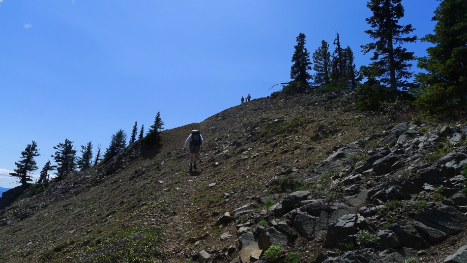
Nice to be back on good trail after bushwhacking our way over from the saddle between 'Not So Sasse Peak' and Sasse Peak... heading for Howson Peak now.
|
On our way to Howson Peak on Sasse Ridge... looking back at our approximate route that the Howson Creek Trail takes below 'Not So Sasse Peak'.
|
rocman is on the Sasse Ridge Trail... nearing Howson Peak.
|
rodman, Izzy and Snowdog watch rocman nearing the Howson Peak summit.
|
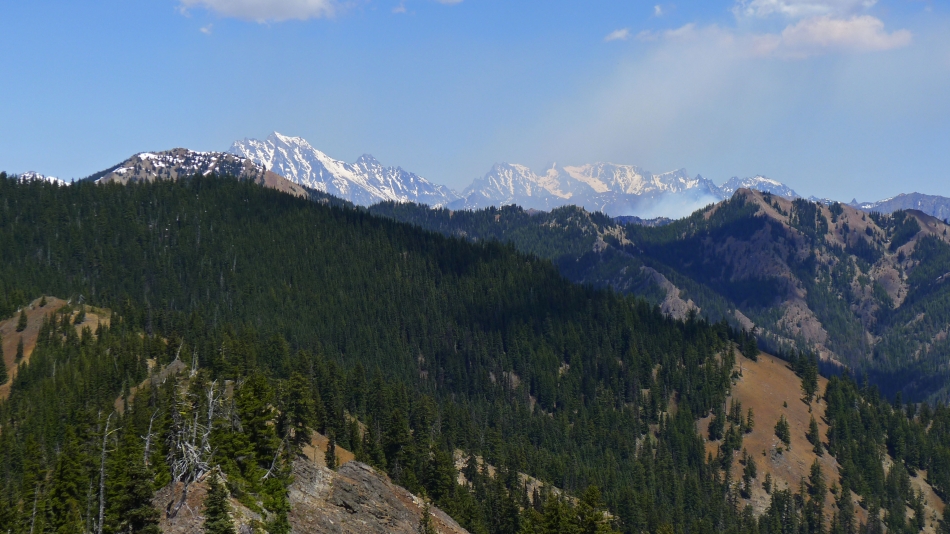
Looking across Jolly Mountain and Humerus Hill to the Stuart Range... hopefully it is a controlled burn.
|
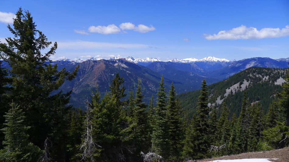
Red Mountain in the left foreground... with Davis Peak on the right... with Dutch Miller Gap peaks between on the horizon.
|
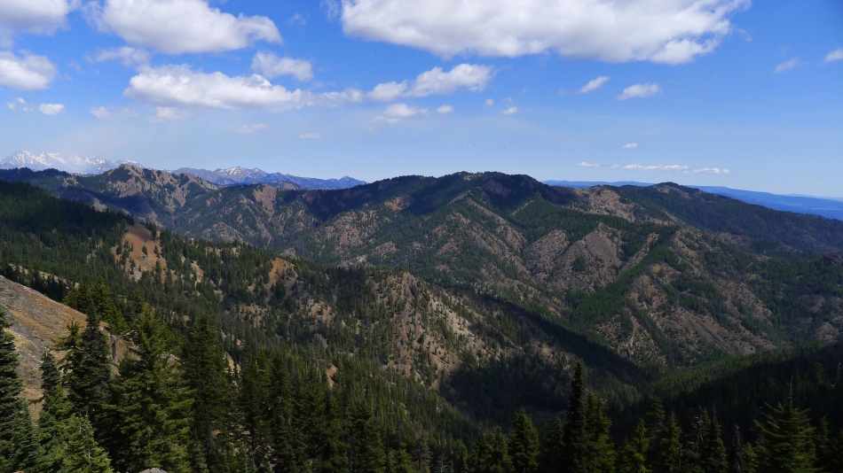
Humerus Hill (far left)... Elbow Peak (center) and Yellow Hill (far right).
|
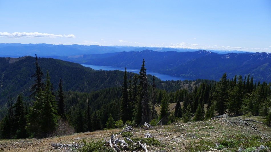
Cle Elum Lake from Howson Peak summit... Hex Mountain is the bare spot on the ridge on the far left... Mount Rainier on the right is gathering clouds.
|
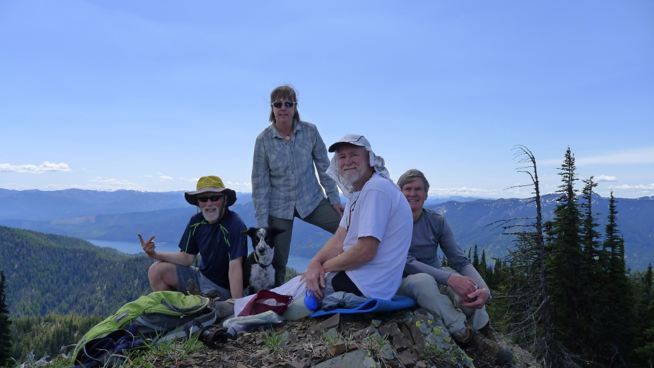
Group shot on the summit... ragman, Izzy, Snowdog, rocman and rodman.
|

From the Howson summit we will follow Sasse Ridge back to the treed summit of Sasse Mountain... then down to the saddle between Sasse Mountain and 'Not So Sasse Peak' where we will connect with the Howson Creek Trail for the return to the car.
|
This was the sign we saw on the Sasse Ridge Trail as we were heading for Sasse Mountain from Howson Peak... it was about 250 feet of elevation below the Sasse summit. An arrow on the sign points to the left... where we briefly looked for a trail... we didn't find a trail or path, so we continued to head for the Sasse summit.
|
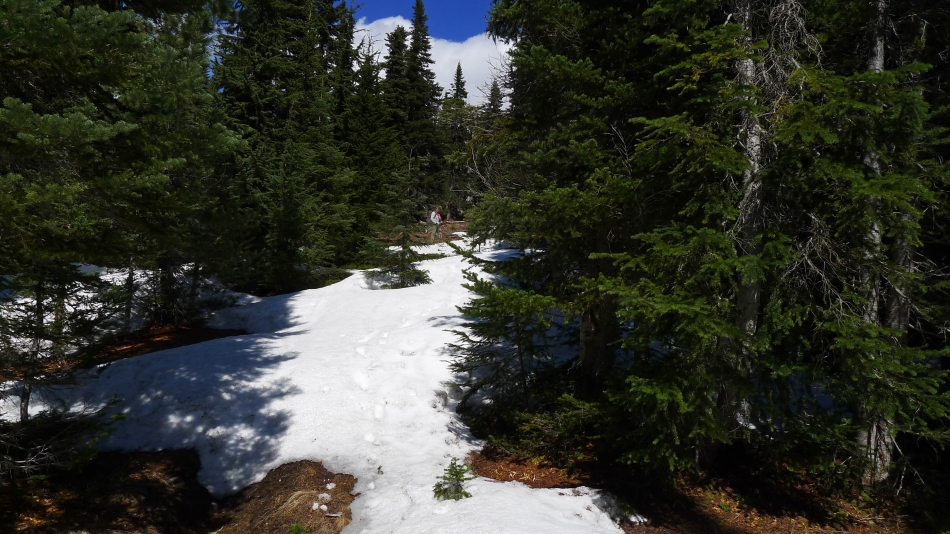
Snowdog nears the treed Sasse Mountain summit (5730')... the only snow we saw all day. After reaching the Sasse summit we headed cross-country for the saddle between Sasse and 'Not So Sasse' to pick up the Howson Creek Trail for the return to the car.
|
