Esmeralda Peak (East Summits) - 5.28.2015
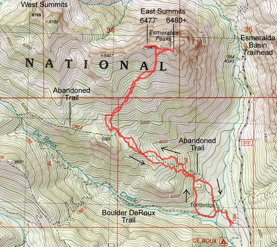
A photo of our GPS track to the east summits of Esmeralda Peak... 5.5 miles roundtrip, gaining ~3000 feet of elevation.
|
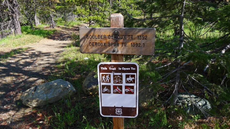
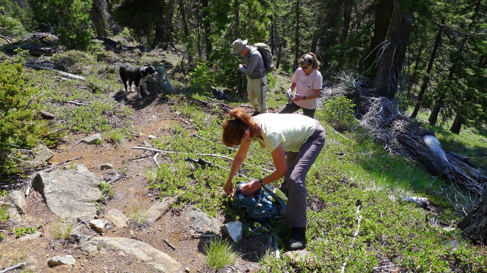
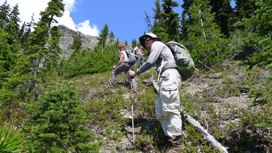
Parking at the north end of DeRoux Campground and starting out on the Boulder DeRoux Trail.
|
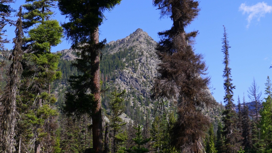
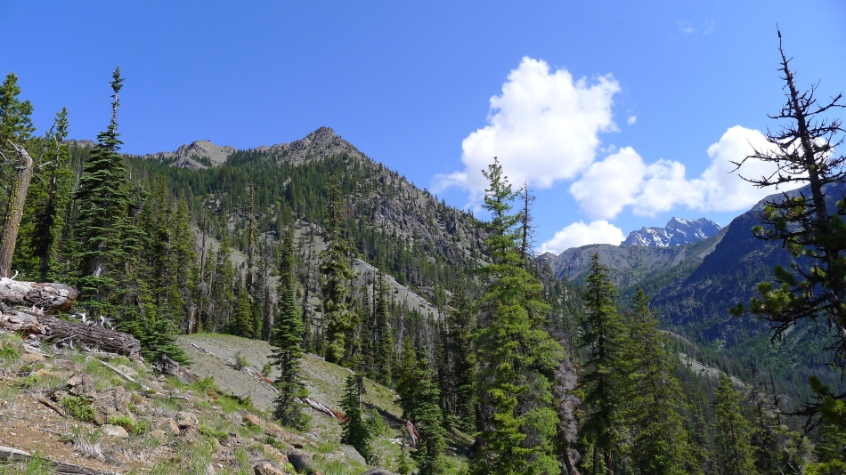
From near the parking area we can get a rough idea of where we are going.
|
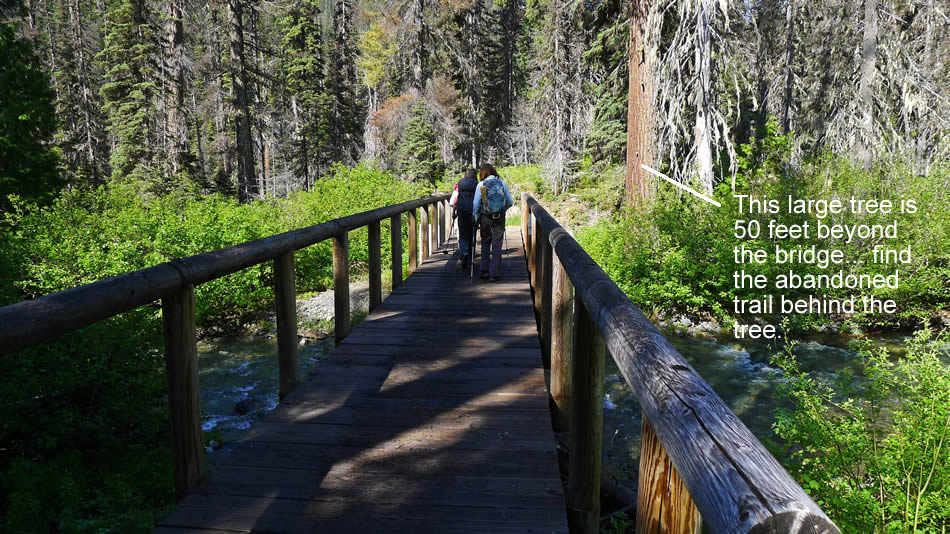
After hiking a short distance on the Boulder DeRoux Trail the trail crosses the N. Fork Teanaway River... and we left the trail very soon after crossing the bridge.
|
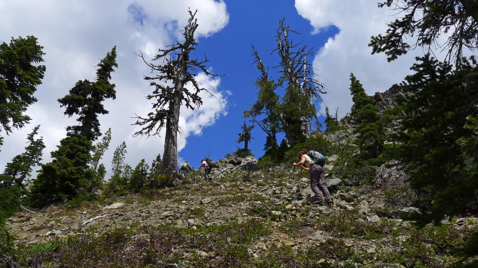
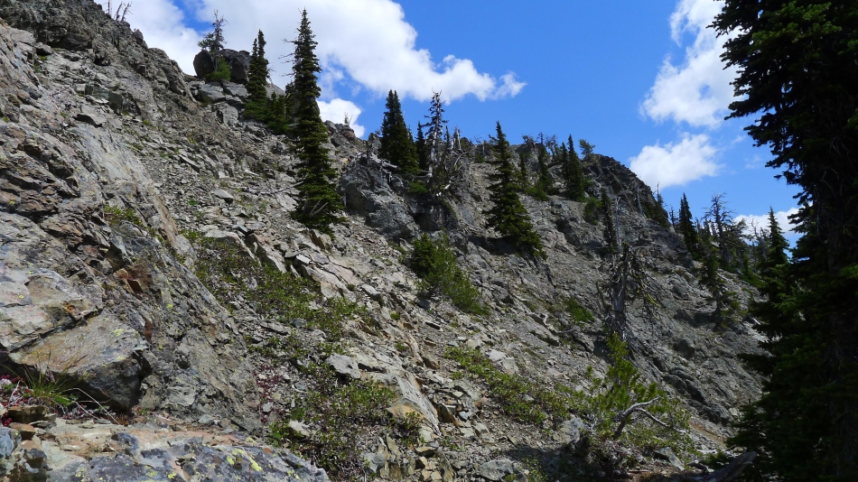
We were able to use bits and pieces of an abandoned trail to ~5000 feet.
|
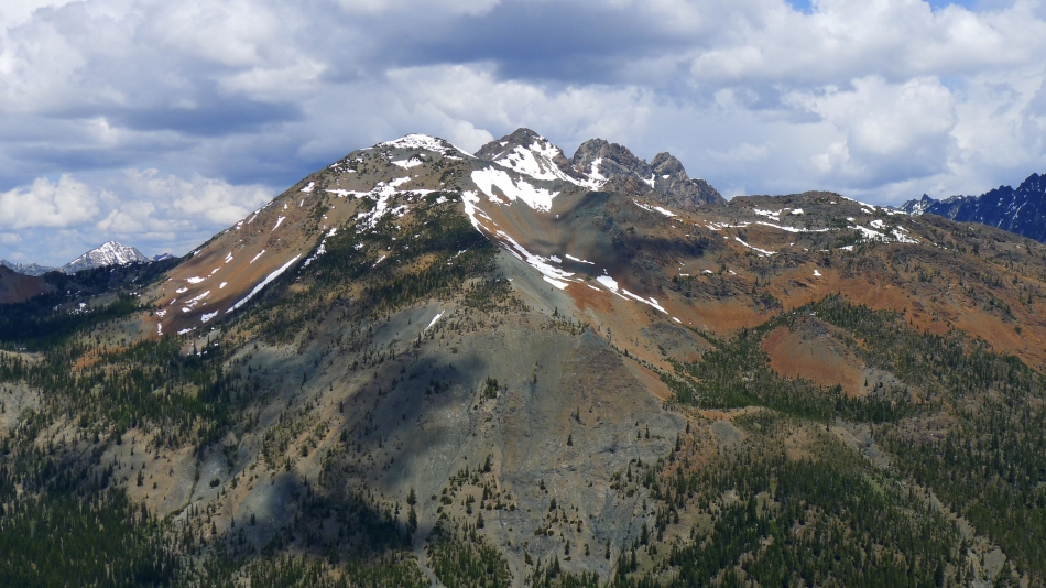
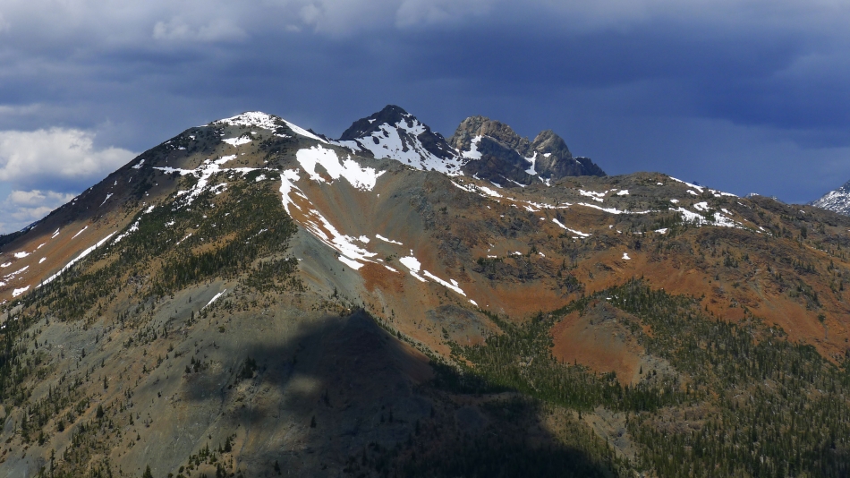
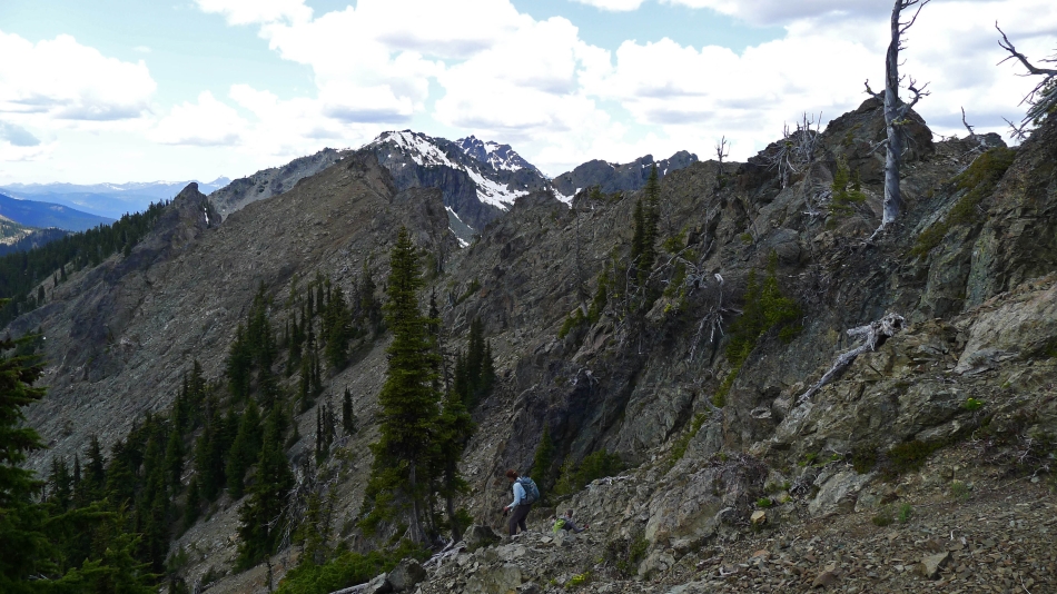
Our two summits are on the left... with Mt. Stuart in the distance on the right.
|
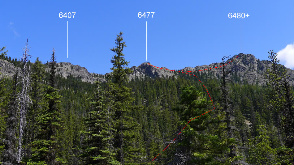
Our approximate route to the saddle between 6477 and 6480+... and then on up to the two summits.
|
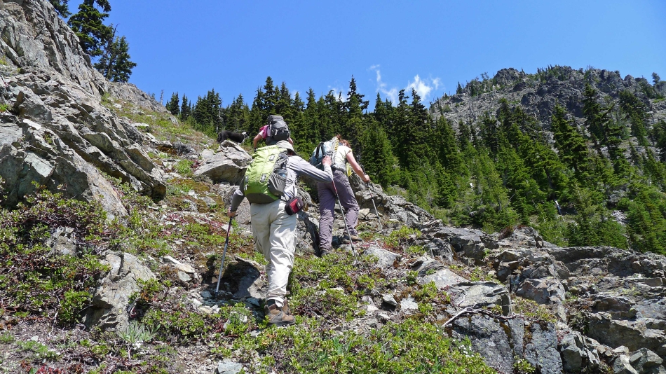
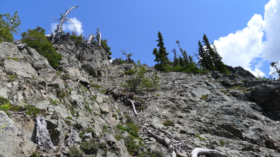
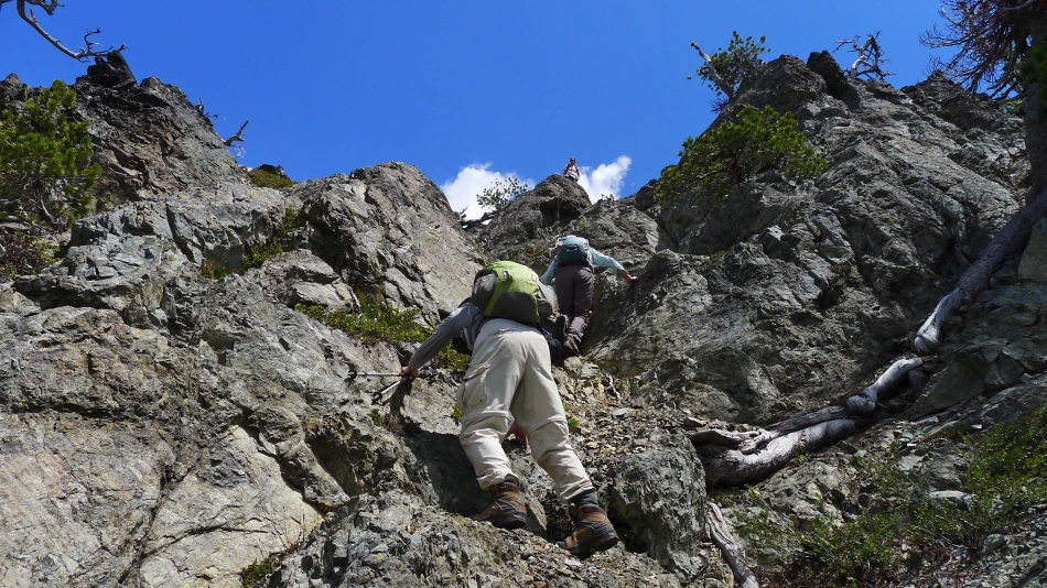
Continuing up.
|
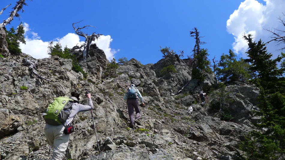
Using animal trails.
|
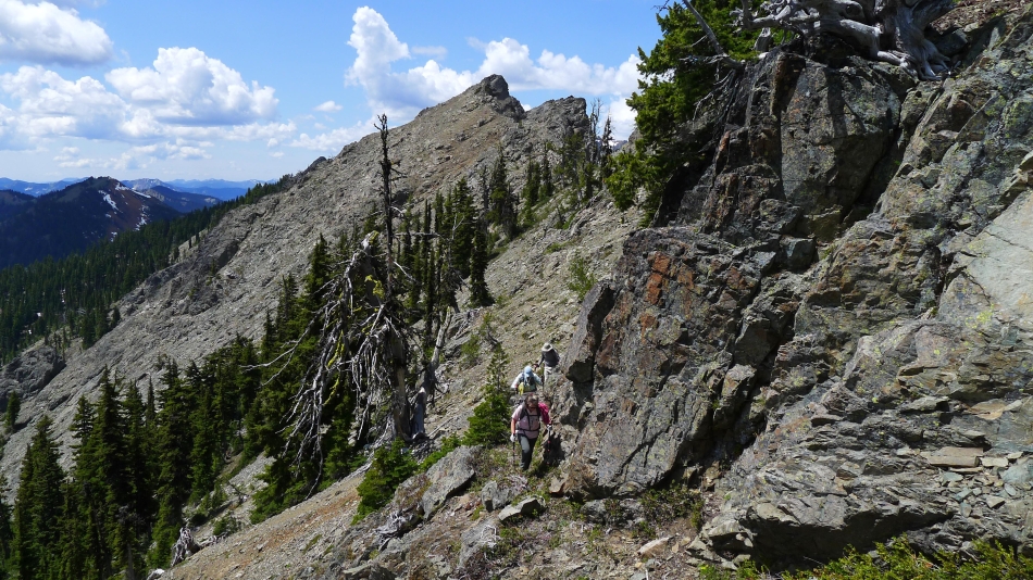
Nearing the saddle between Points 6477 and 6480+.
|
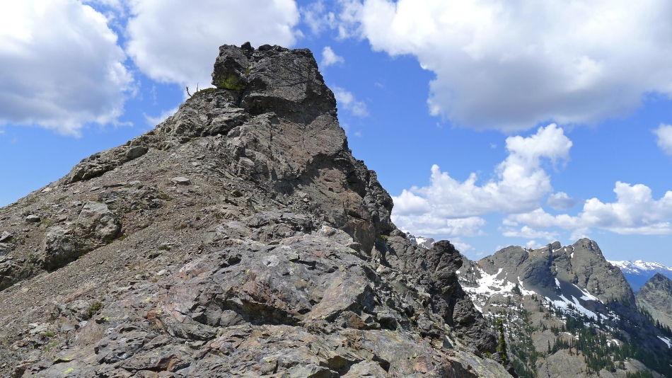
We have reached the saddle between 6477 and 6480+... a false summit of 6477 is in the left foreground... with the north ridge of Esmeralda on the right.
|
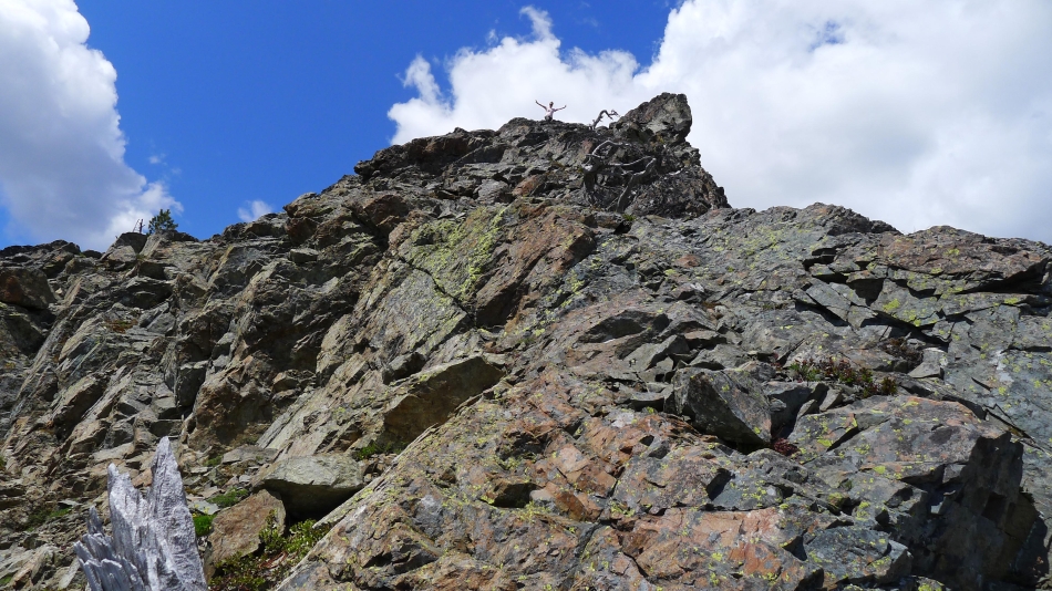
Snowdog took a quick trip up to the false summit of 6477 to take a look at what was involved to get over to Point 6477.
|
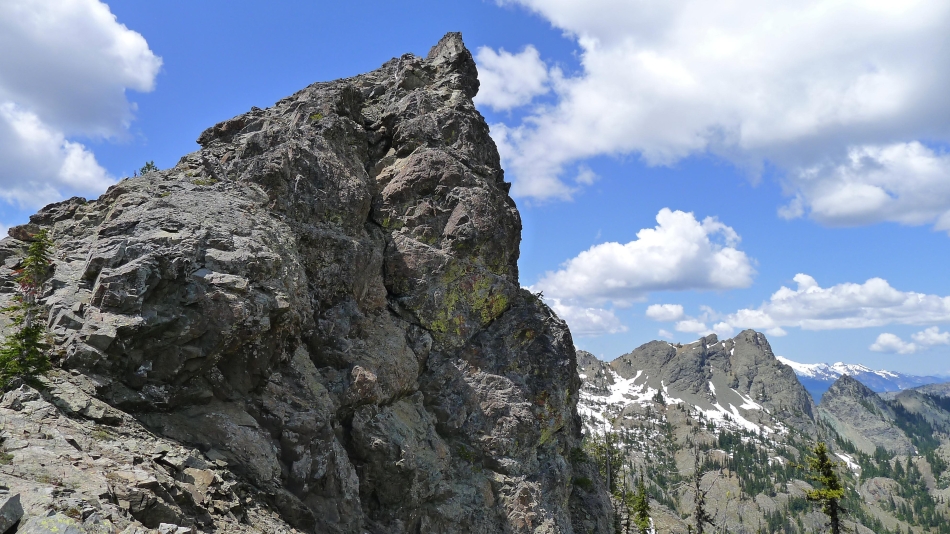
Point 6477... no problem... just go around to the left of the summit block.
|
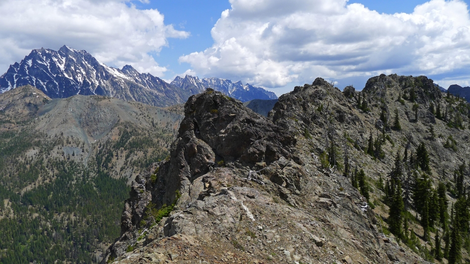
Looking back toward the saddle where we gained the ridge... the Stuart Range in the distance on the left... with Point 6480+ in the foreground on the far right.
|
I'm just below the summit block of Point 6477... watching the troops working their way over... Iron Peak in the distance on the far right.
|
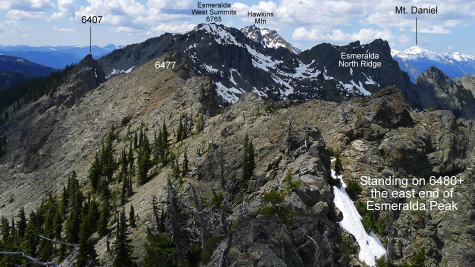
From Point 6477 I am looking west to the twin west summits of Esmeralda in the center of the photo... with Esmeralda's north ridge on the right... with Point 6407 in the left foreground.
|
From Point 6477 I am looking at Fortune Peak (left) and the three summits of Ingalls Peak.
|
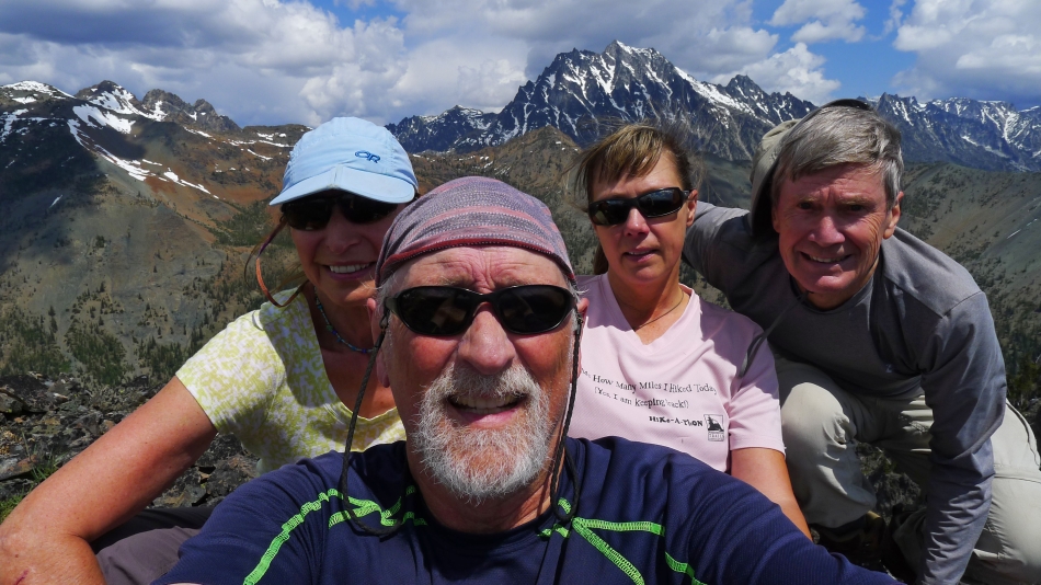
A Point 6477 selfie... BarbE, ragman, Snowdog and rodman... with the Stuart Range behind us.
|
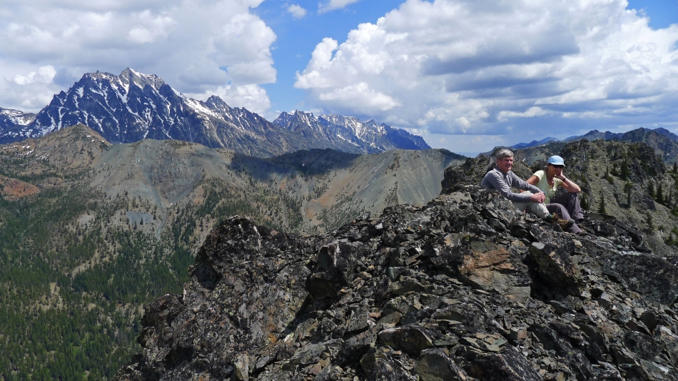
rodman and BarbE relax on Point 6477... the Stuart Range in the distance on the left... and Point 6480+ in the right foreground.
|
We have left Point 6477 and are heading for Point 6480+.
|
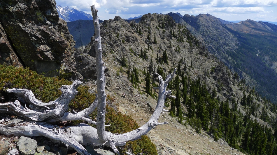
On our way to Point 6480+... looking back at Point 6477... DeRoux Peak on the far left.
|
Heading for Point 6480+... a bit steep, but not bad.
|
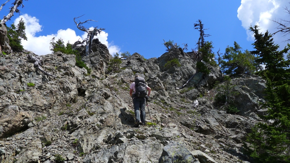
Snowdog charges for the summit.
|
rodman coming up.
|
Nearing the summit of 6480+.
|
Snowdog watches rodman and BarbE working the gully.
|
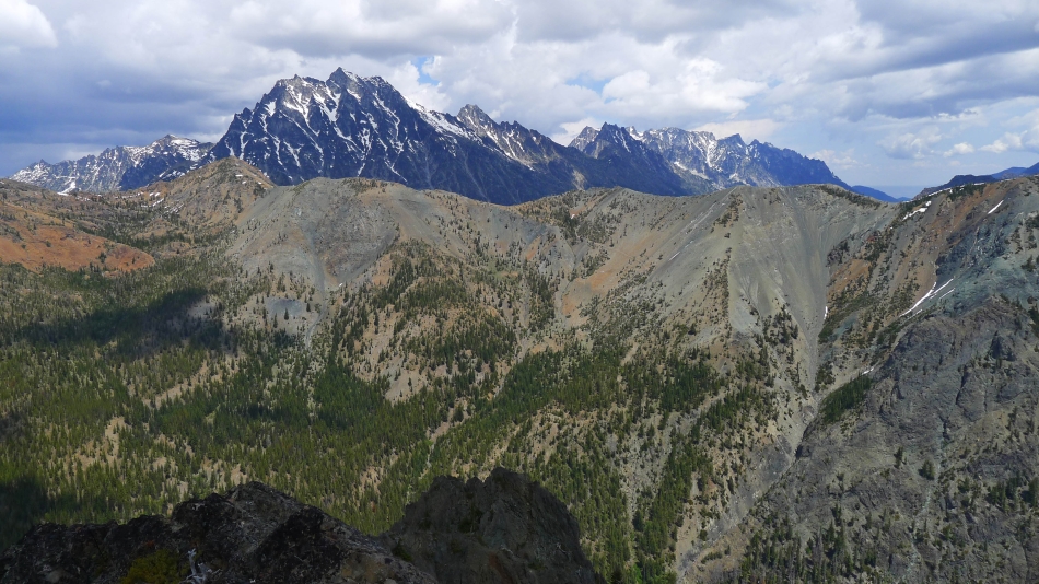
From the summit of Point 6480+ I am looking across Longs Pass to the Stuart Range.
|
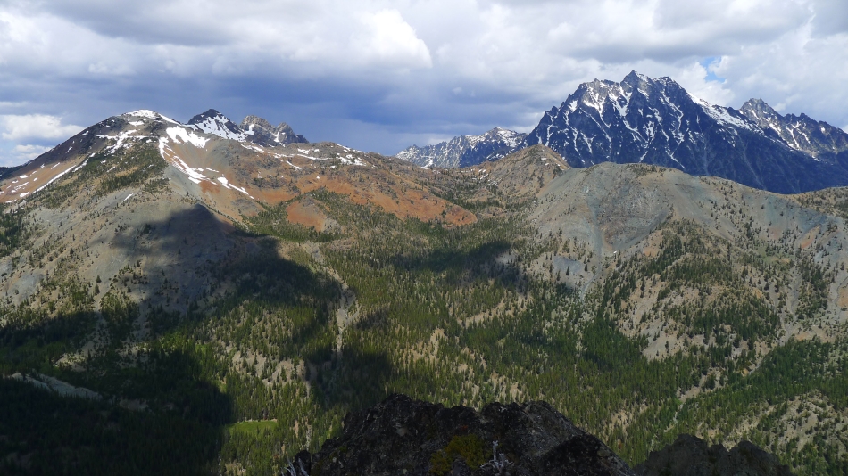
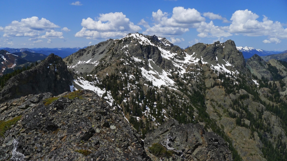
Fortune Peak and the the three summits of Ingalls Peak on the left... with the Stuart Range on the right.
|
Storm brewing over Ingalls Peak... time to head down and get off of the summit.
|
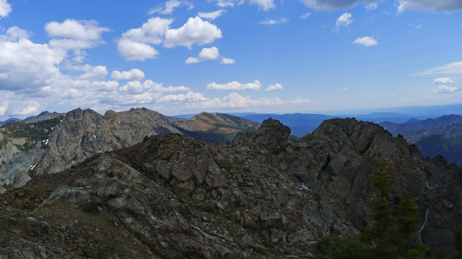
Looking west from Point 6480+.
|
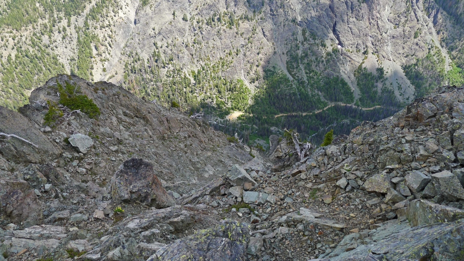
Looking down on the Esmeralda Basin parking lot from Point 6480+.
|
Point 6480+ has a fairly large summit area.
|
Heading down from Point 6480+.
|
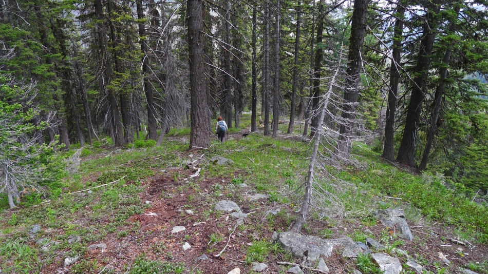
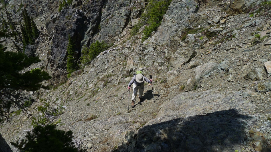
Below 5000 feet we were able to take advantage of an abandoned trail.
|

The abandoned trail was hard to follow in a lot of places... however, the brush was forgiving when we couldn't find the trail.
|
