Guye Peak - 7.8.2015
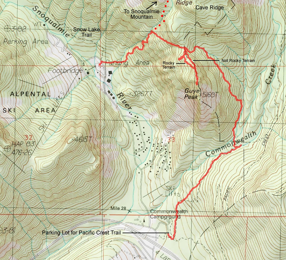
A photo of our GPS track to the north summit of Guye Peak... a 4 mile thru-hike, gaining ~2250 feet of elevation.
|
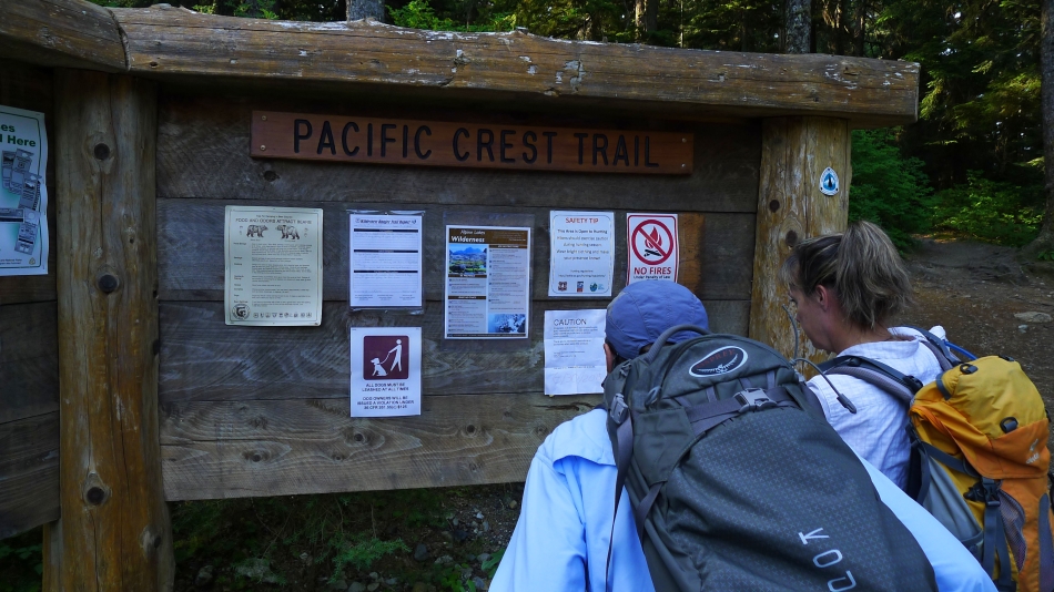
We parked (~3000') at the Pacific Crest Trailhead at Snoqualmie Pass.
|
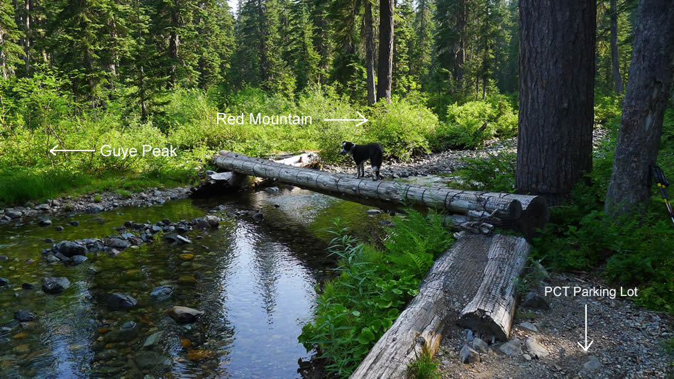
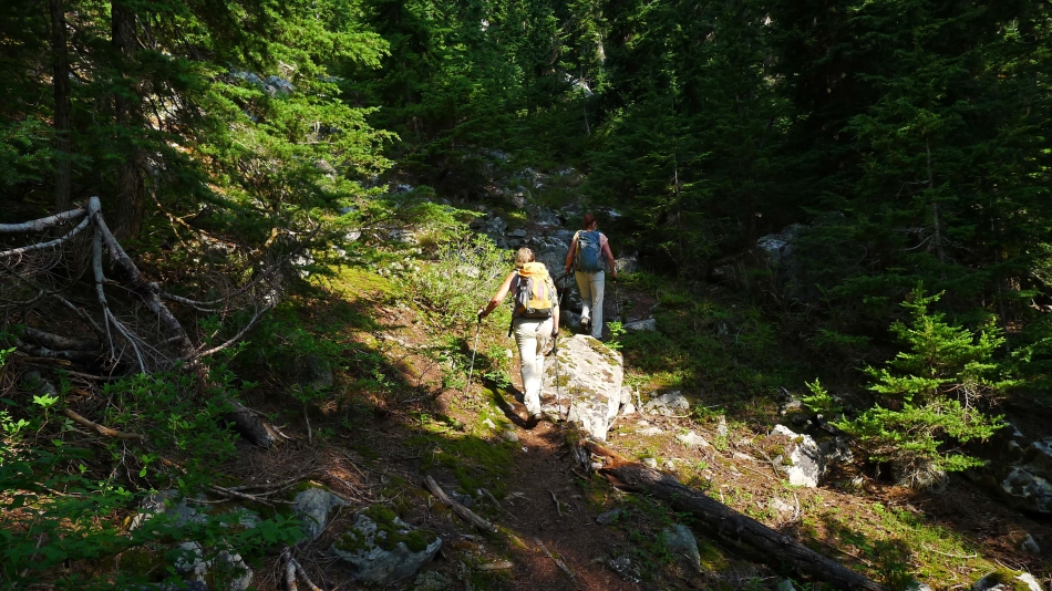
We hiked from the parking lot a very short distance and turned left onto an unsigned gravel path that took us up into Commonwealth Basin. Izzy is standing on the log bridge that crosses Commonwealth Creek. The temptation here is to turn right... however, if you want a good path to Guye Peak, turn left here.
|
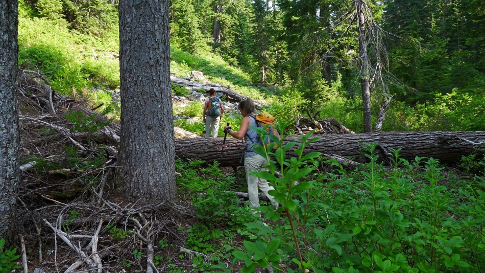
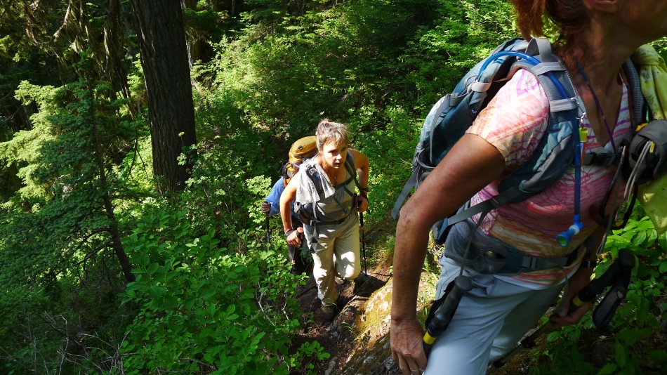
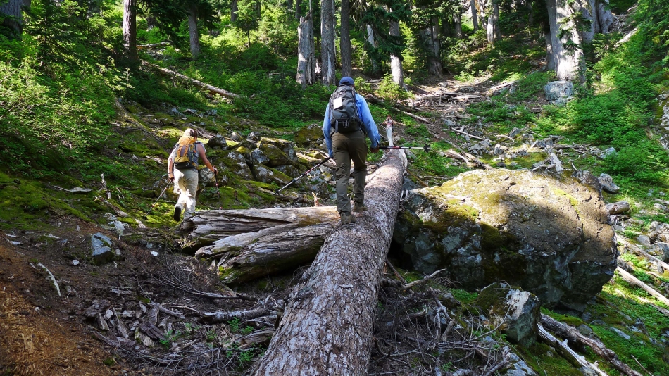
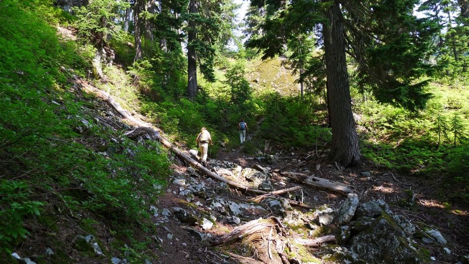
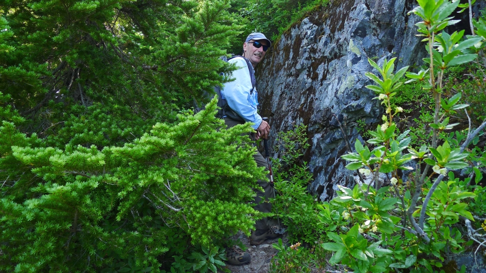
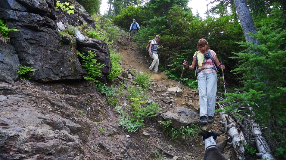
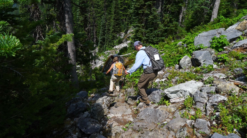
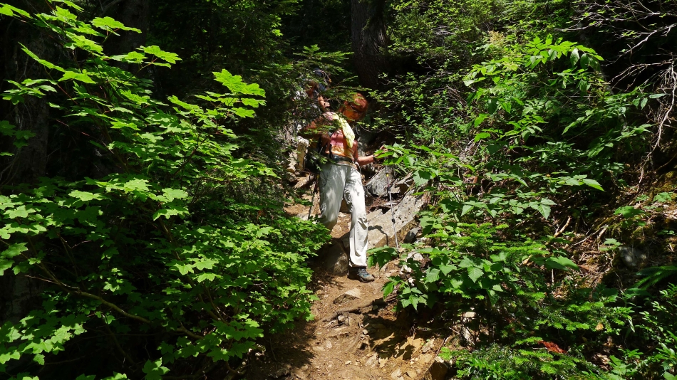
There are a few down trees on the path that leads to the saddle between Guye Peak and Cave Ridge.
|
Still on a good path... heading for the saddle between Guye Peak and Cave Ridge.
|
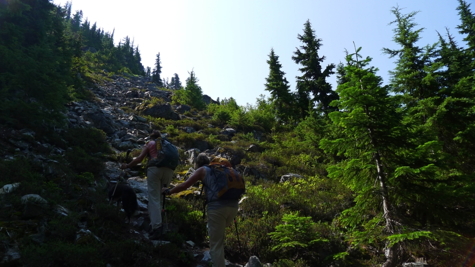
The path is steep in places.
|
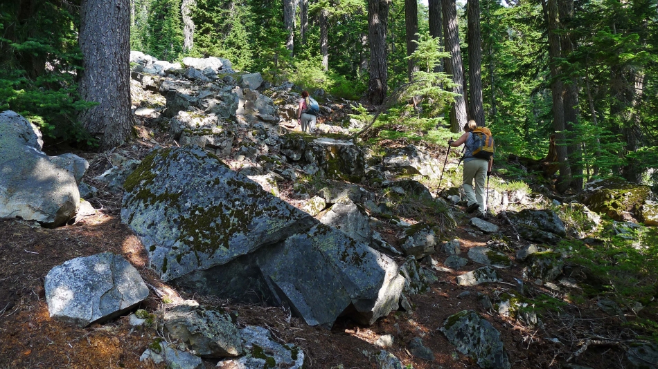
The path crosses a few patches of boulders.
|

Still on a good path... heading for the saddle between Guye Peak and Cave Ridge.
|
Still on a good path... heading for the saddle between Guye Peak and Cave Ridge.
|
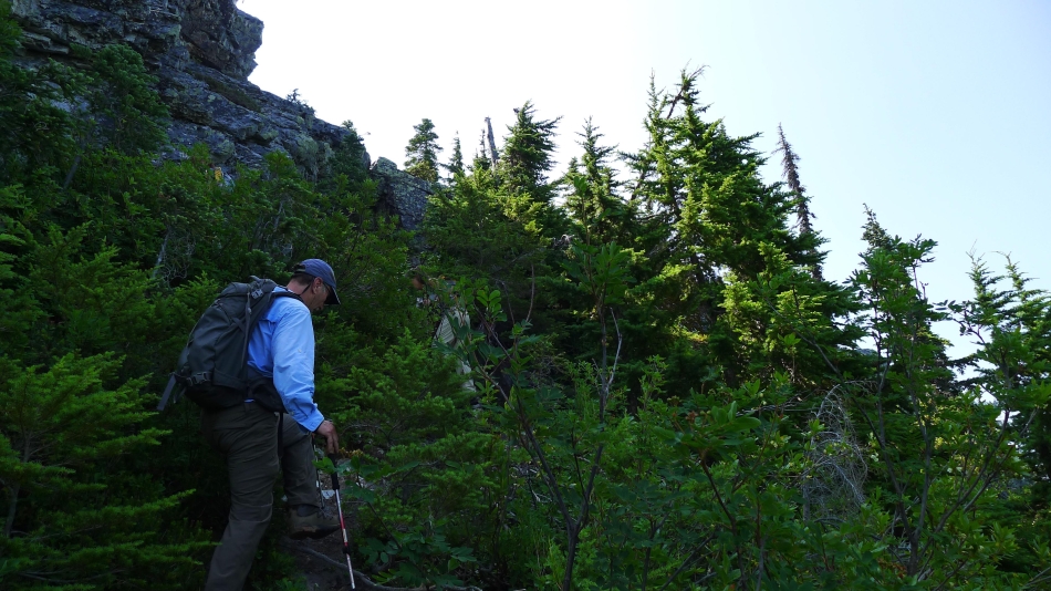
Still on a good path... nearing the saddle between Guye Peak and Cave Ridge.
|
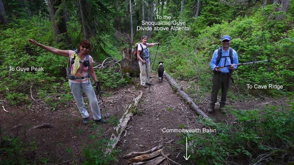
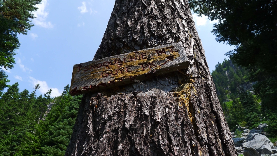
The 4-way intersection at the saddle between Guye Peak and Cave Ridge... we will head for Guye Peak... then come back to this spot and head for the Snoqualmie/Guye Divide.
|
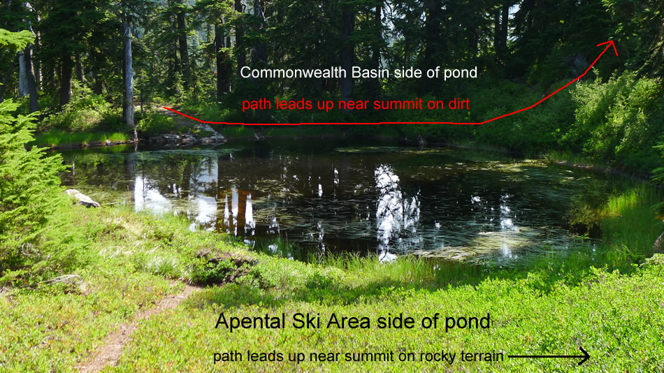
There is a pond in the saddle between Guye Peak and Cave Ridge... and there is a good path on both the east and west sides of the pond that lead up near the summit. We took the rocky path on the way up... and used the dirt path on the way back down.
|
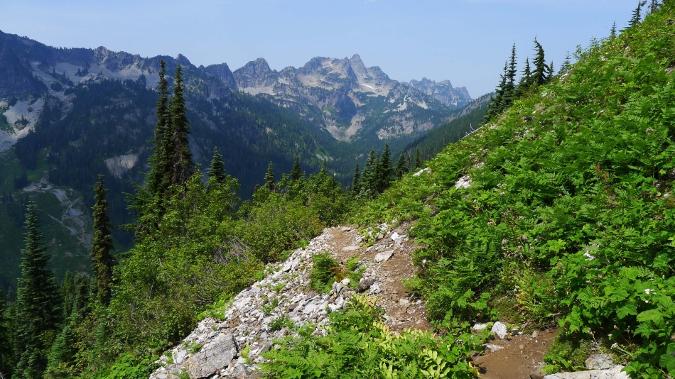
Looking across the Alpental Valley from the saddle between Guye Peak and Cave Ridge.
|
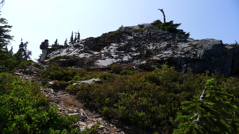
Heading up toward the Guye Peak summit on a rocky path.
|
Believe it or not... we are still on a good path.
|
Continuing up on rocky terrain.
|
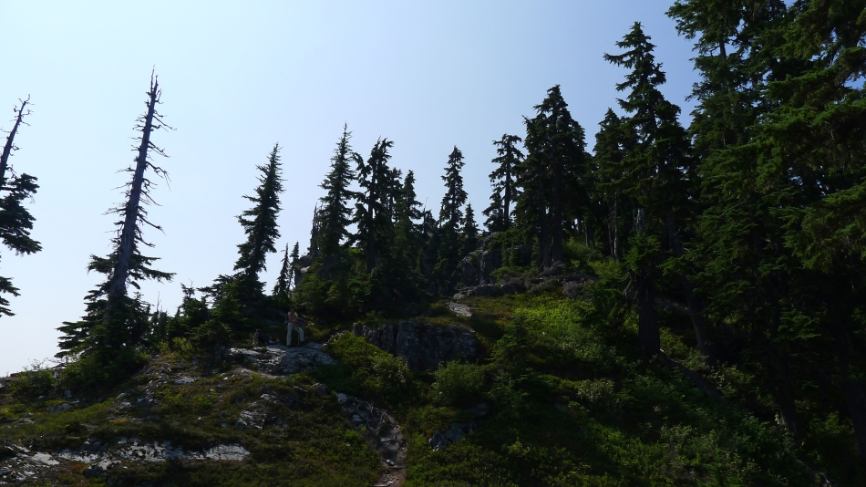
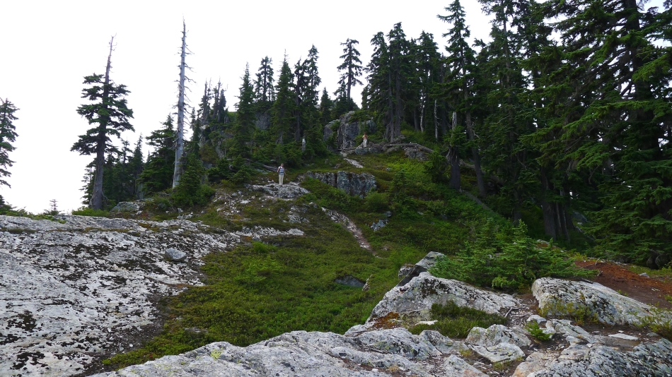
Getting closer to the summit... as the terrain opens up a bit.
|
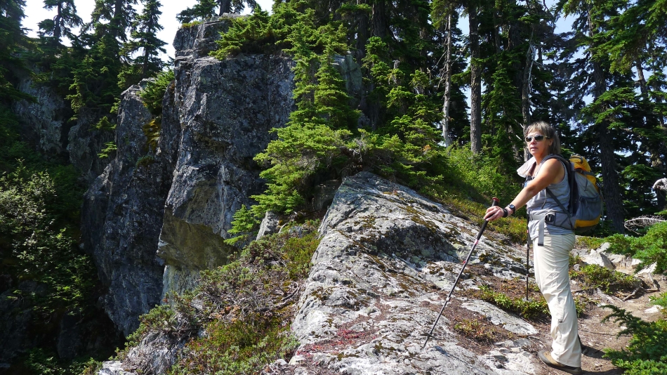
Very steep on the east side near the top.
|
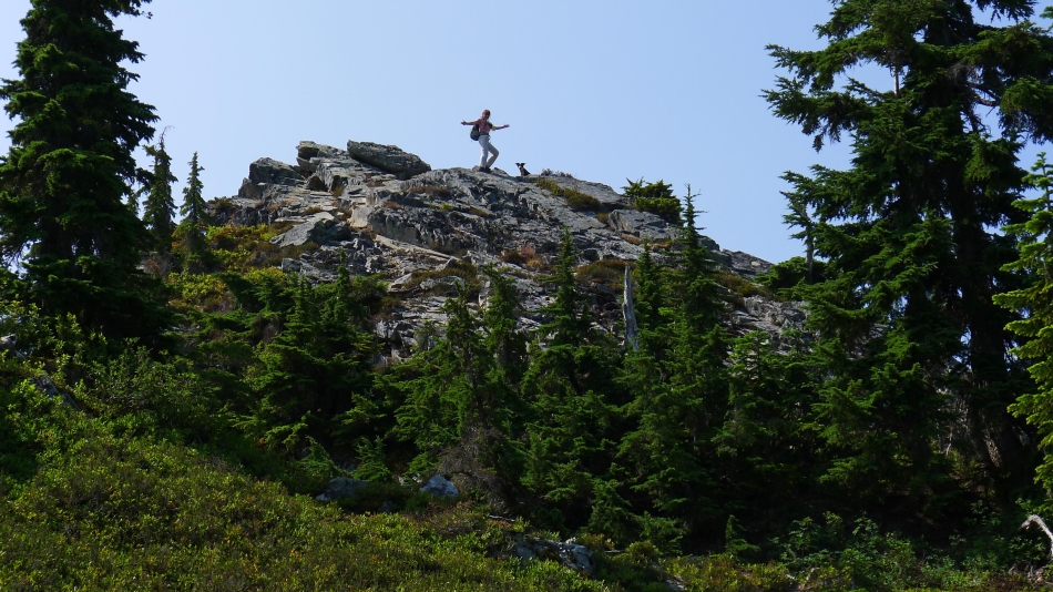
BarbE and Izzy celebrate being on the north summit (5163') of Guye Peak.
|
The good path goes all the way to the north summit.
|
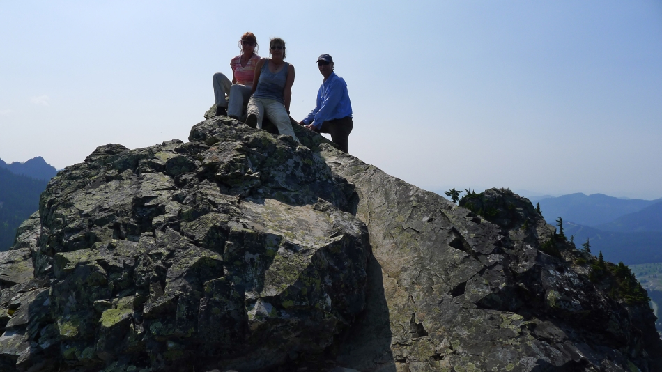
BarbE, Snowdog and tomman on the north summit of Guye Peak... the true summit (5 feet higher) is on the right.
|
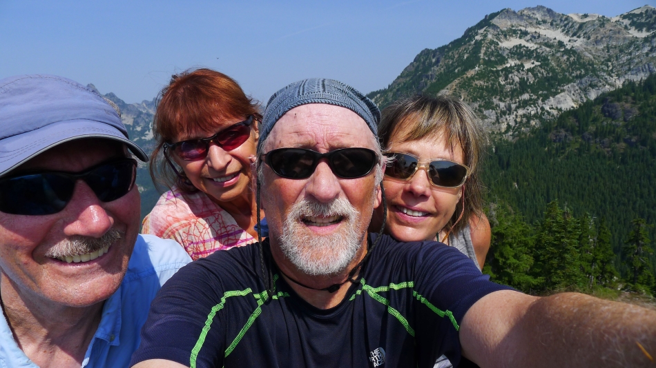
A selfie from the north summit of Guye... with Snoqualmie Mountain behind us.
|
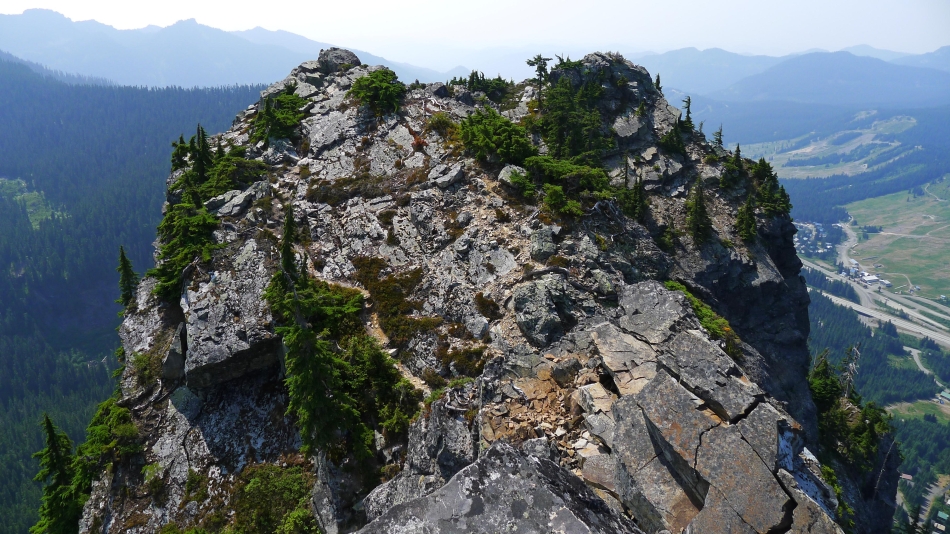
The true summit of Guye Peak from the north summit.
|
Looking east from the north summit of Guye Peak.
|
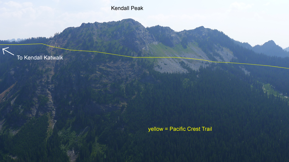
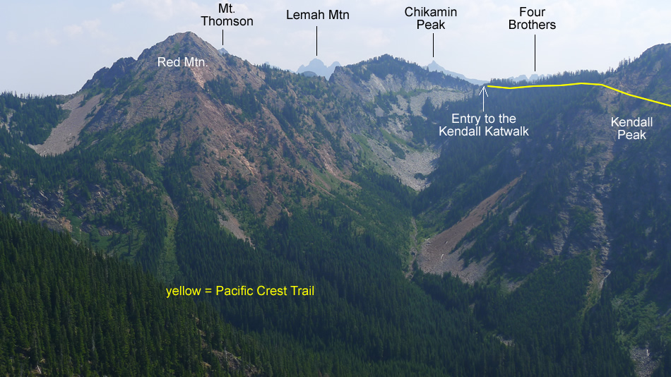
Kendall Peak from the north summit of Guye Peak.
|
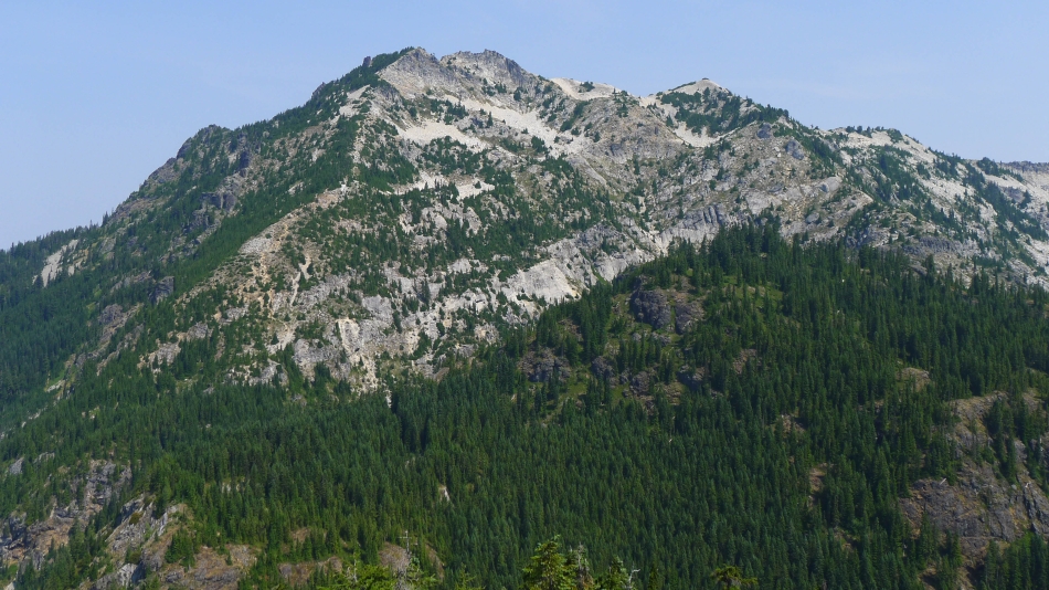
Looking across Cave Ridge to Snoqualmie Mountain from the north summit of Guye Peak.
|
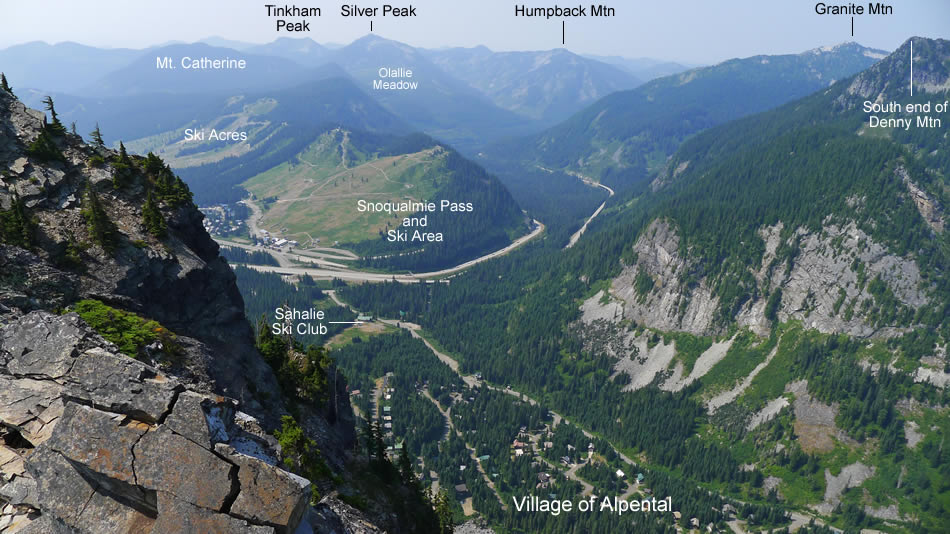
Looking down on Alpental and Snoqualmie Pass from the north summit of Guye Peak.
|
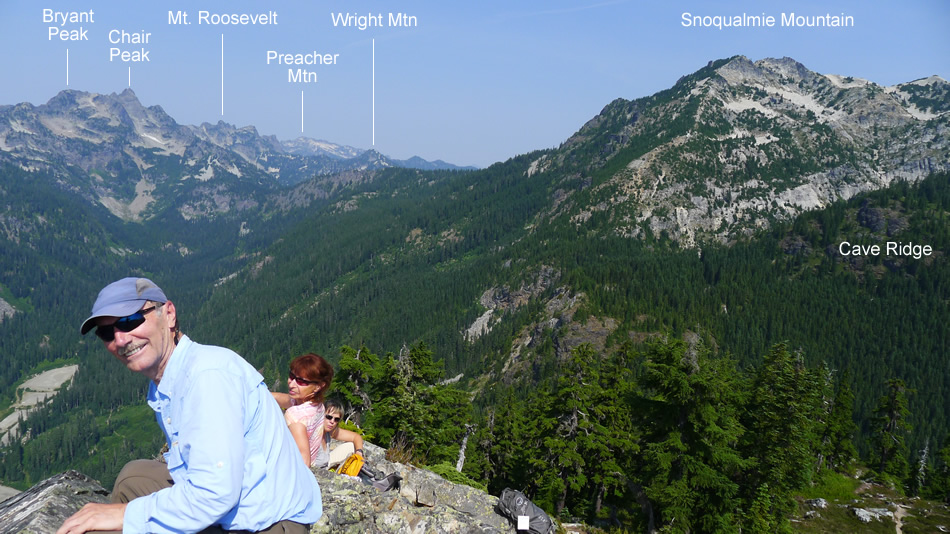
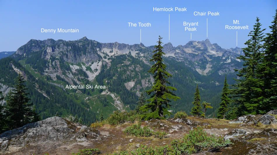
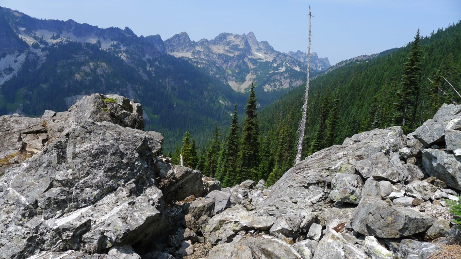
Looking north and northwest from the north summit of Guye Peak.
|
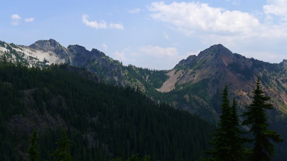
Lundin Peak (left) and Red Mountain.
|
Coming down from the north summit.
|
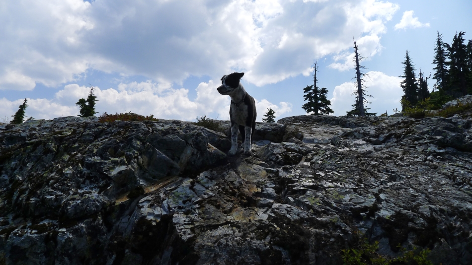
Izzy keeps a watchful eye on us.
|
We have returned to the 4-way intersection in the saddle between Guye Peak and Cave Ridge... and are following a good path down and over toward the Snoqualmie/Guye Divide.
|
Did I mention that there is a good path that leads over to the Snoqualmie/Guye Divide.
|
There is a boulder field that leads over to the Snoqualmie/Guye Divide... with plenty of cairns to show the way.
|
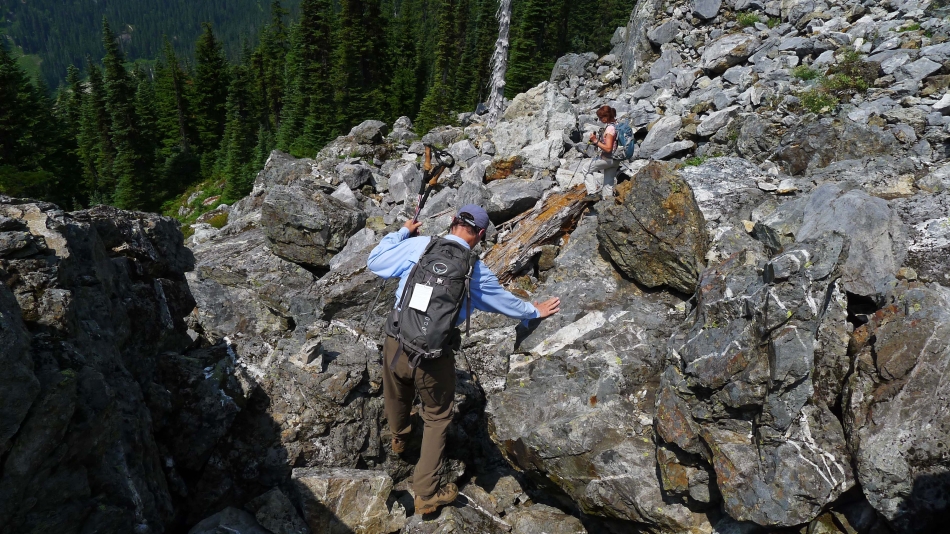
Working over and down the boulder field that leads to the Snoqualmie/Guye Divide.
|
Almost at the Snoqualmie/Guye Divide.
|
We have reached the Snoqualmie/Guye Divide (~4200').
|
Following the obvious path that leads down from the Snoqualmie/Guye Divide to the Alpental parking lot.
|
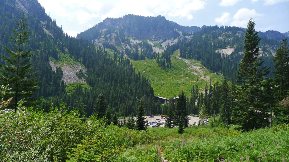
Nearing the Alpental parking lot... with Denny Mountain above the ski area.
|
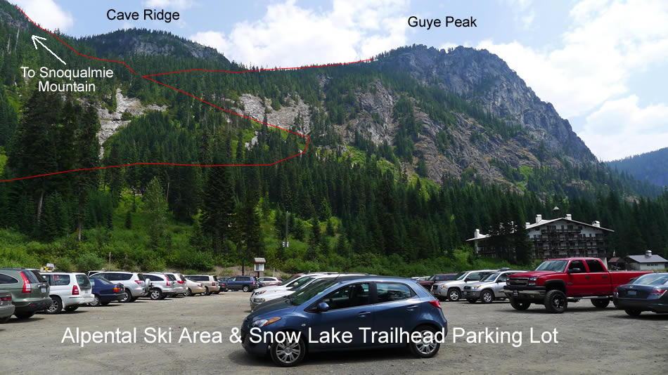
From the Alpental parking lot we are looking up at the approximate route we used on our way down from Guye Peak. We were fortunate enough to get a ride from here to our car that was parked at the Pacific Crest Trailhead... saving us a 1.2 mile road walk.
|
