Smith Rock State Park (Misery Ridge) - 8.3.2015
A photo of the GPS track for our loop trip to Misery Ridge in Smith Rock State Park... 4.2 miles roundtrip, gaining 900 feet of elevation.
|
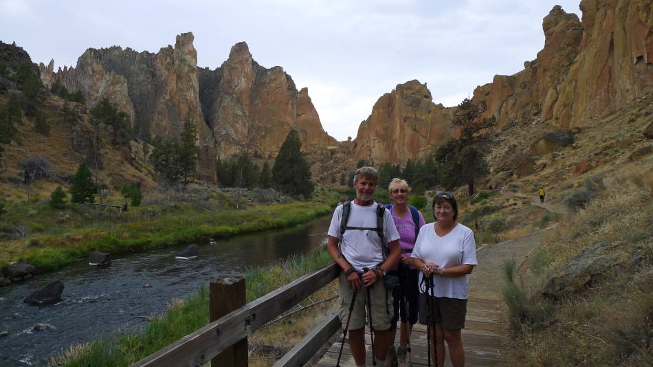
We have parked and are finding the place along the rim where we can go down to the Crooked River.
|
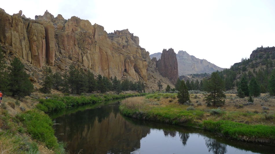
Hiking down to the Crooked River... we will cross it on a bridge and follow the River Trail south toward the Smith Rock formation at the far left of the photo.
|
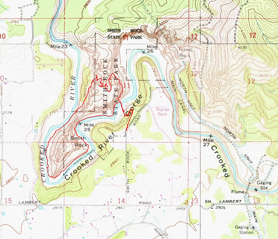
The Picnic Lunch Wall... the Misery Ridge Trail switchbacks up and to the right of the wall... but we will follow the River Trail to the left... then come back down via the trail on the right.
|
On the River Trail... we will follow the trail toward Smith Rock on the left.
|
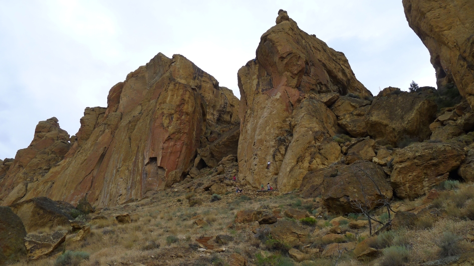
Climbers on the rock as we continue along the River Trail.
|
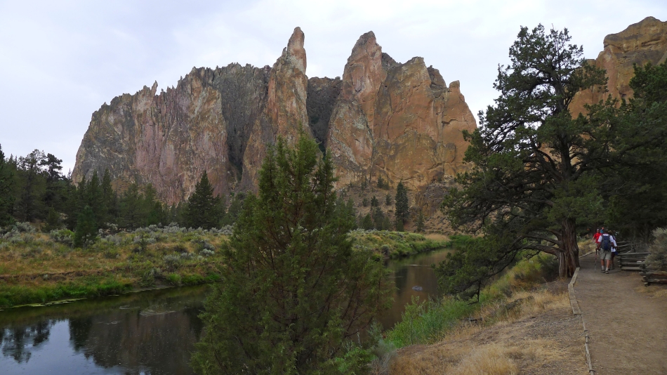
Continuing along the River Trail toward Smith Rock.
|
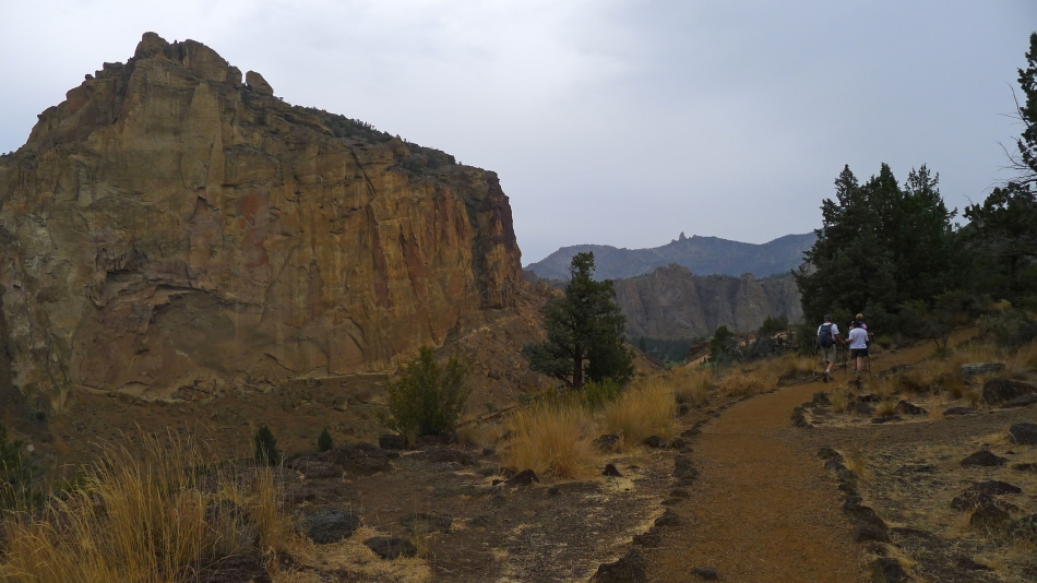
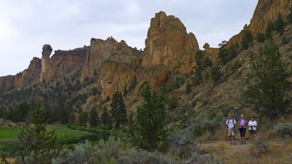
Looking up at Asterisk Pass from the River Trail... we will stay on the River Trail... and continue on it around the south end of Smith Rock on our way over to the west side of the park.
|
Looking back at our route.
|
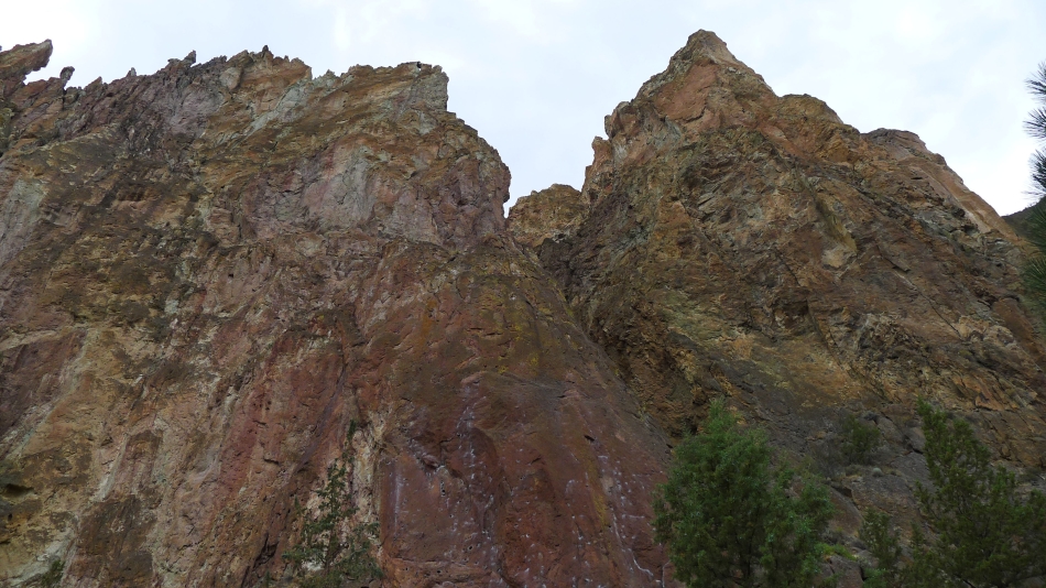
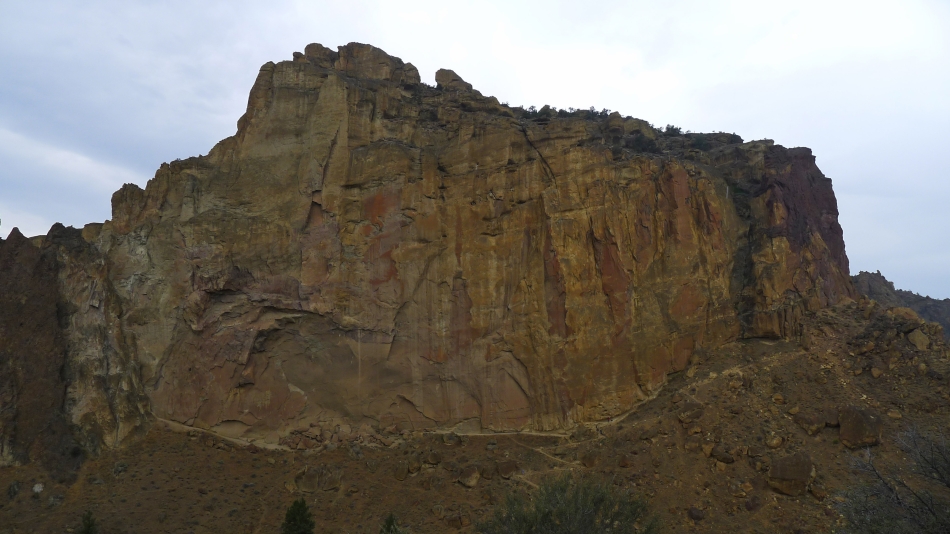
Amazing color on Smith Rock.
|
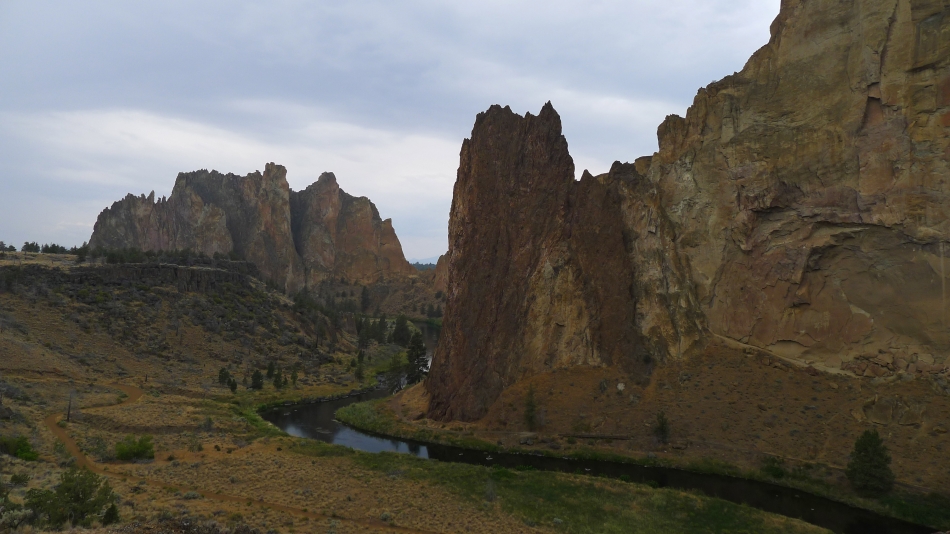
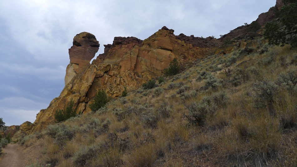
Still on the River Trail... but on the west side of the park... Monkey Face is ahead on the left.
|
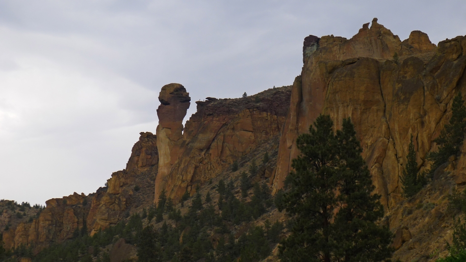
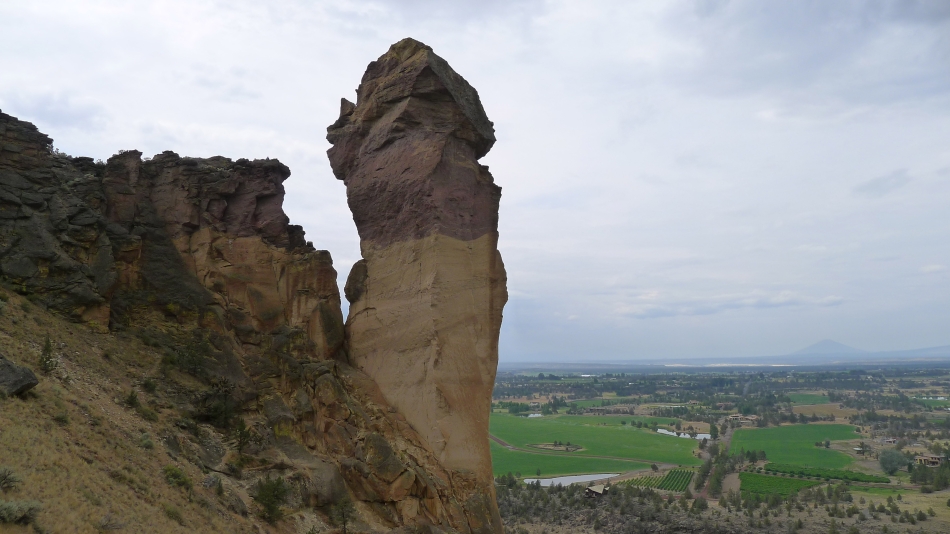
A closer look at Monkey Face.
|
We have left the River Trail and are heading uphill on the Mesa Verde Trail.
|
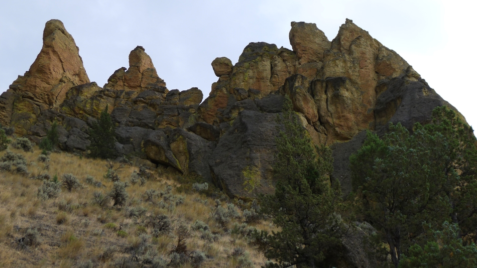
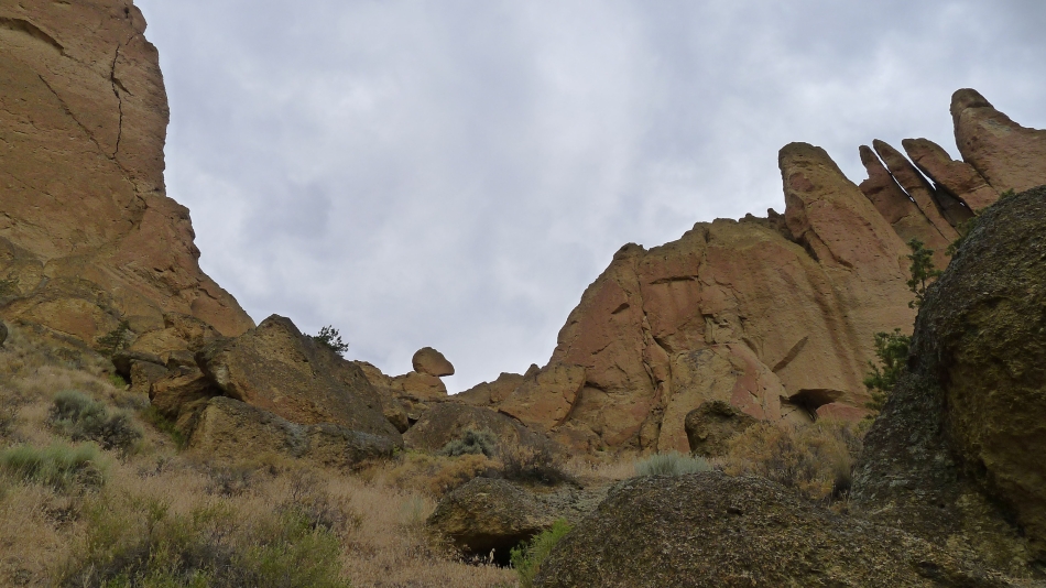
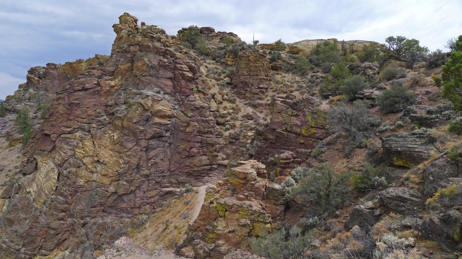
Colorful rock formations.
|
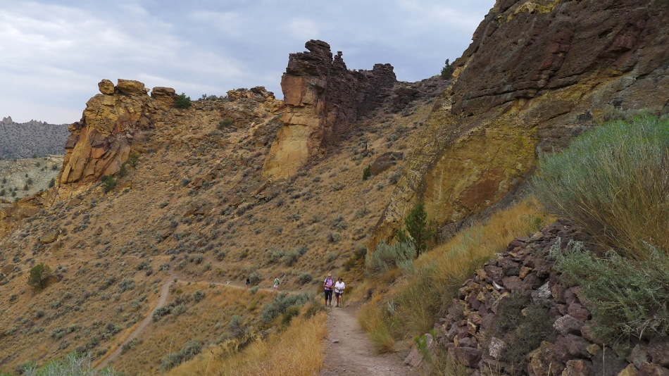
Nearing Monkey Face on the Mesa Verde Trail.
|

larman enjoys the rock art.
|
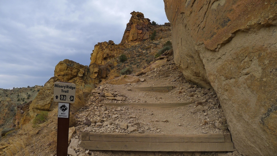
We will leave the Mesa Verde Trail and head for the ridge on the Misery Ridge Trail.
|
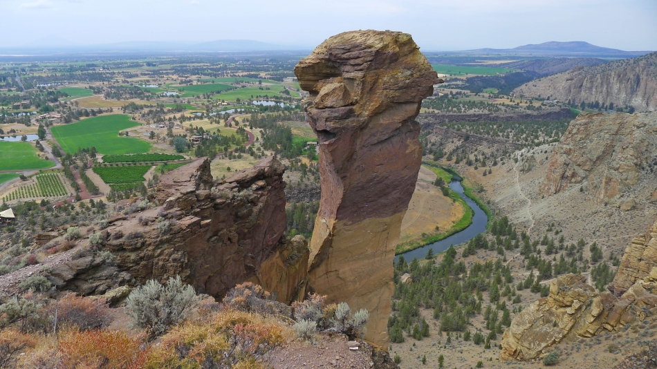
Gaining elevation on the Misery Ridge Trail... Monkey Face dominates.
|
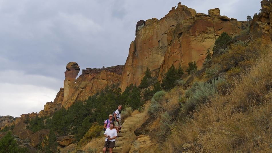
Denali Girl and Anna Purna coming up the Misery Ridge Trail.
|
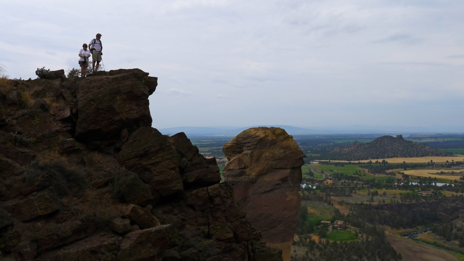
Anna Purna and larman on the Misery Ridge Trail above Monkey Face.
|
Above Monkey Face now.
|
Amazing colors in the rock.
|
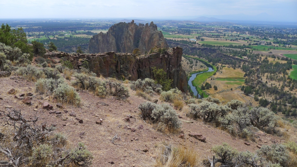
Looking at Smith Rock from Misery Ridge.
|
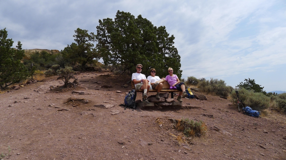
Kicking back on Misery Ridge.
|
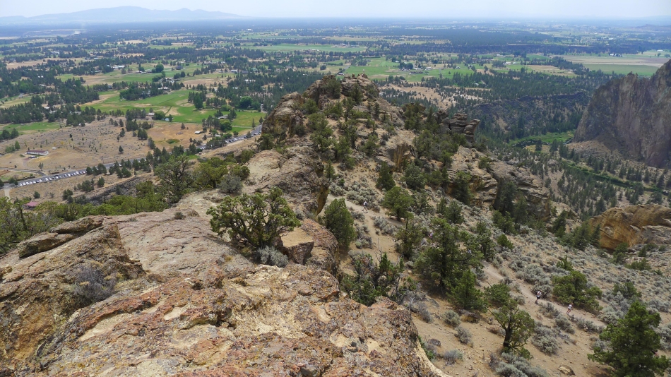
I have decided to head for the high point on Misery Ridge... looking down on the trail that connects the east and west sides of Misery Ridge.
|
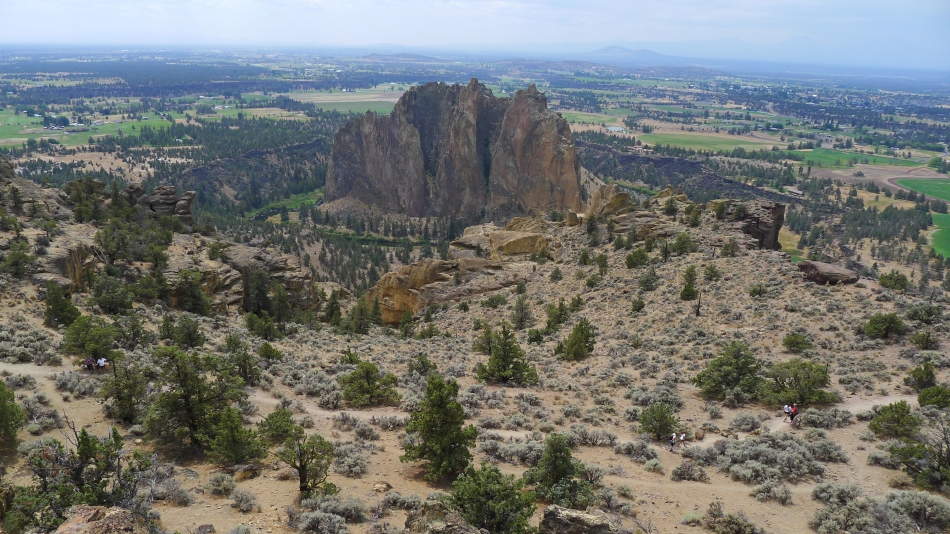
Smith Rock from near the high point on Misery Ridge.
|
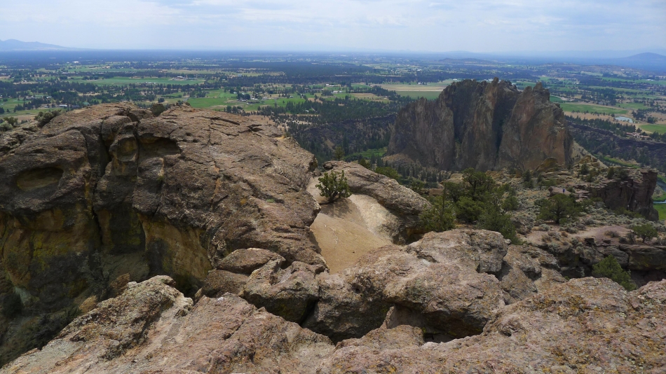
Smith Rock from the high point on Misery Ridge.
|
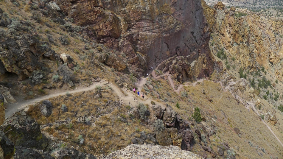
We have crossed over Misery Ridge and heading down the trail on the east side of the park.
|
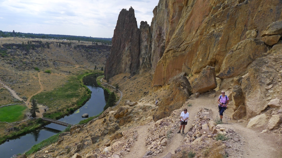
Heading for the bridge crossing of the Crooked River.
|
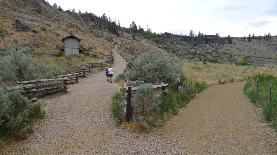
At the end of the day we had to gain ~150 feet of elevation to get back up to our car.
|
