Fisher Lakes and Platt Lake - 8.4.2015
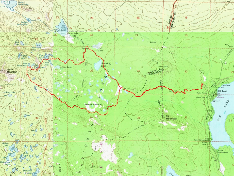
A photo of the GPS track for our hike to the Fisher Lakes and Platt Lake... 11.9 miles roundtrip, gaining 1125 feet of elevation.
|
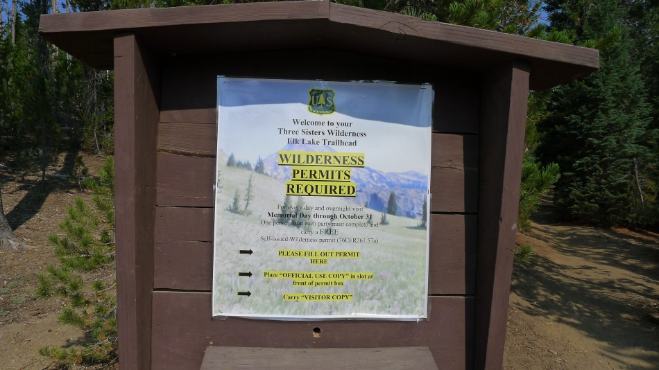
We started at the Elk Lake Trailhead (4995') which is on the opposite side of the Cascade Lakes Highway from Elk Lake.
|
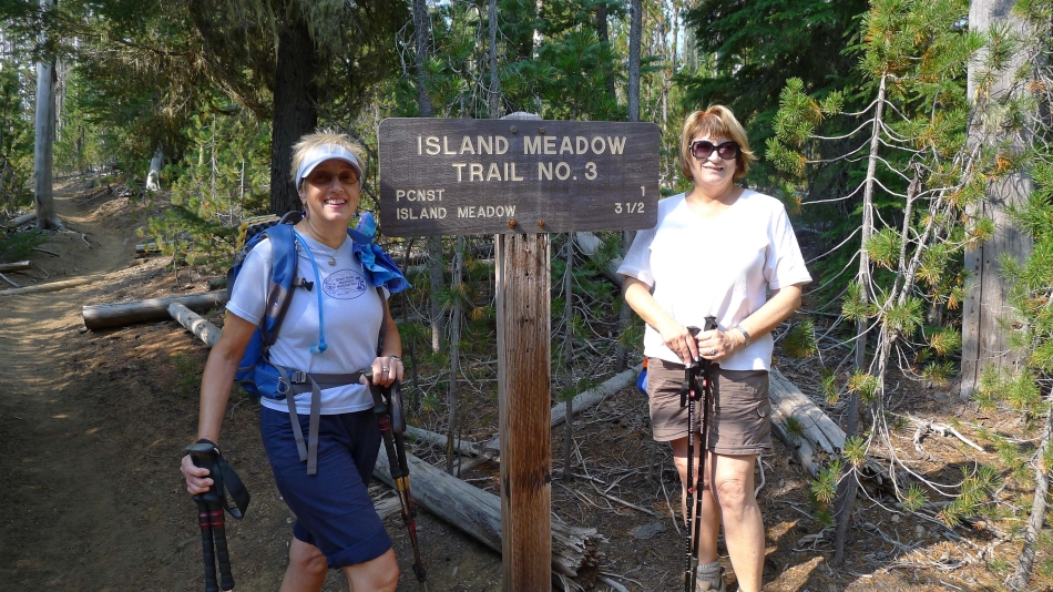
20 steps up the trail we took the Island Meadow Trail.
|
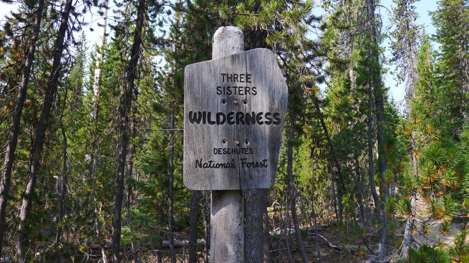
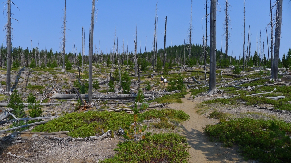
This hike is in the Three Sisters Wilderness.
|
After hiking 1 mile, we connected with the Pacific Crest Trail.
|
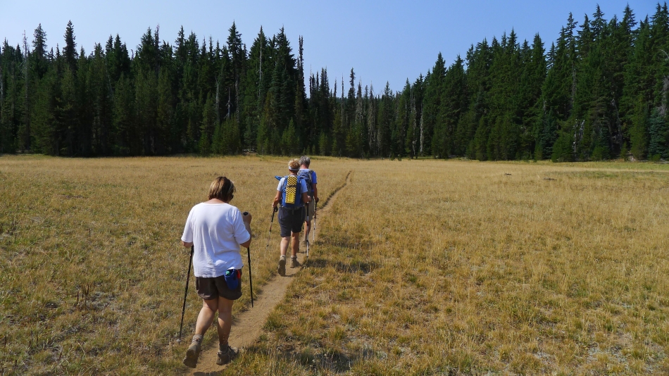
After hiking 3.5 miles we are crossing Island Meadow.
|
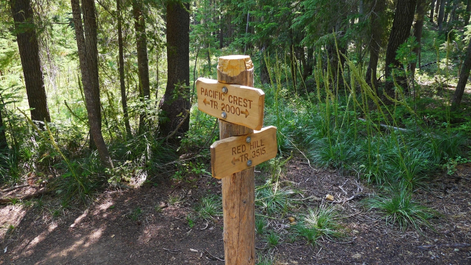
Leaving the PCT and taking the Red Hill Trail.
|
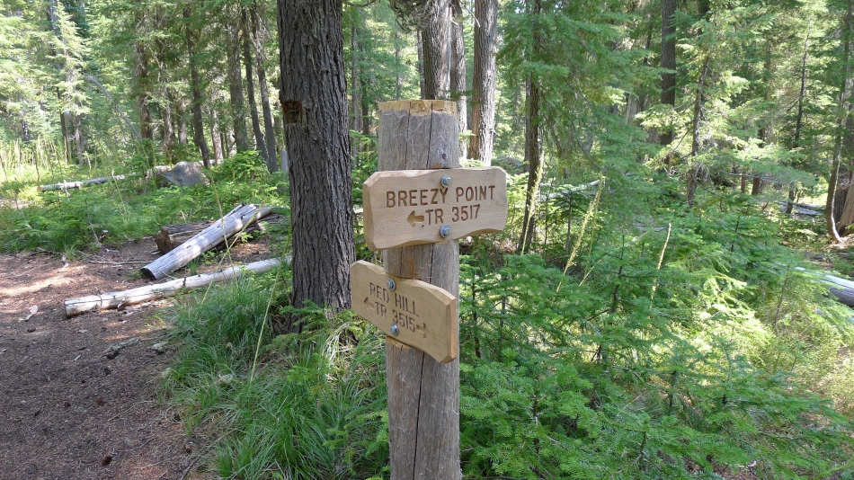
After hiking a short distance on the Red Hill Trail, we will take the Breezy Point Trail.
|
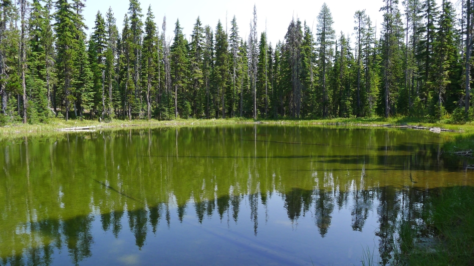
One of several unnamed lakelets on the Breezy Point Trail.
|
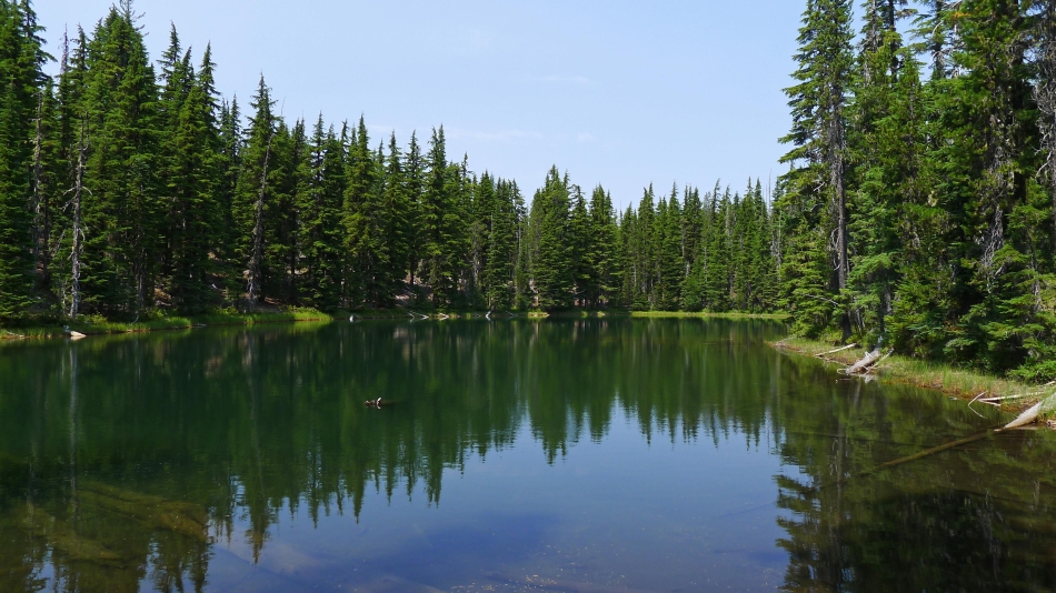
West Fisher Lake.
|
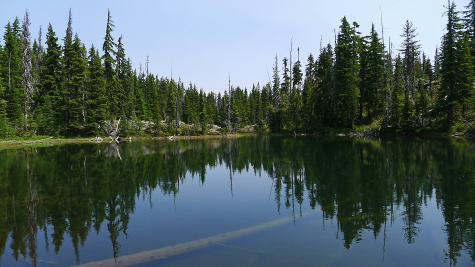
East Fisher Lake
|
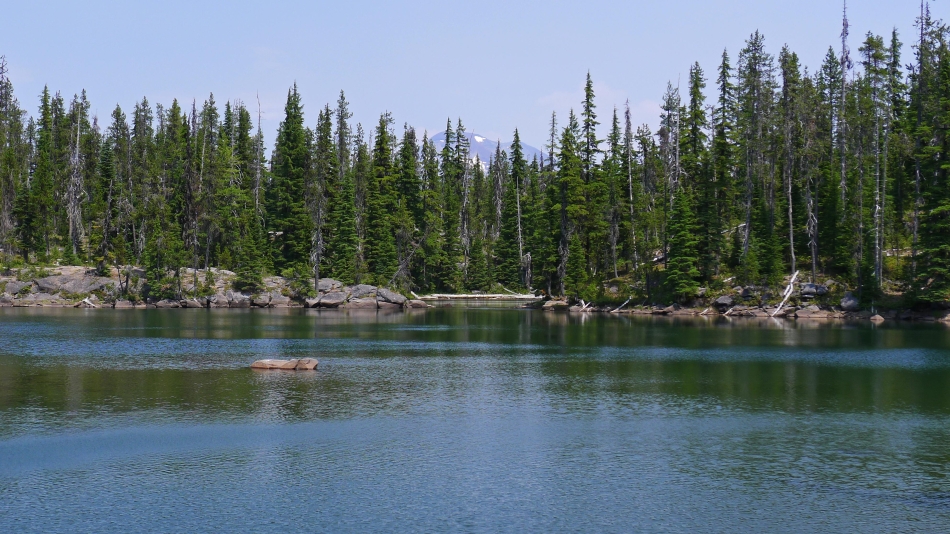
Platt Lake... the prettiest lake we visited on this trip... the top of South Sister is visible in the distance.
|
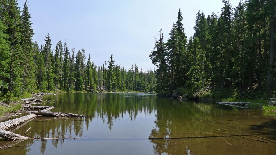
Herb Lake.
|
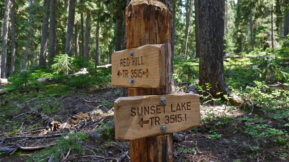
We will take the Sunset Lake Trail back to Island Meadow and close the loop portion of our hike.
|
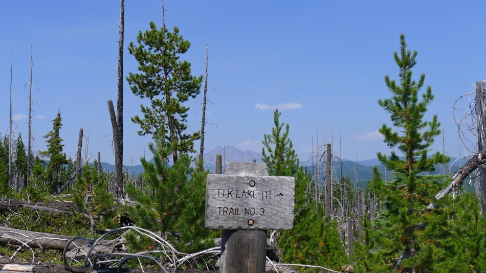
Only a mile of hiking to get back to our car... Broken Top in the distance above the sign. The trail system can be a little confusing in this area... GPS recommended.
|
