Peak 5818 - 11.25.2015
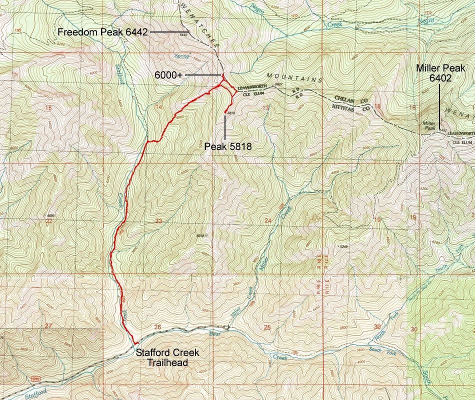
A photo of the GPS track for our trip to Peak 5818... 8.1 miles roundtrip, gaining 3090 feet of elevation... the original target was Freedom Peak, but 35 MPH wind gusts caused us to change our original plan.
|
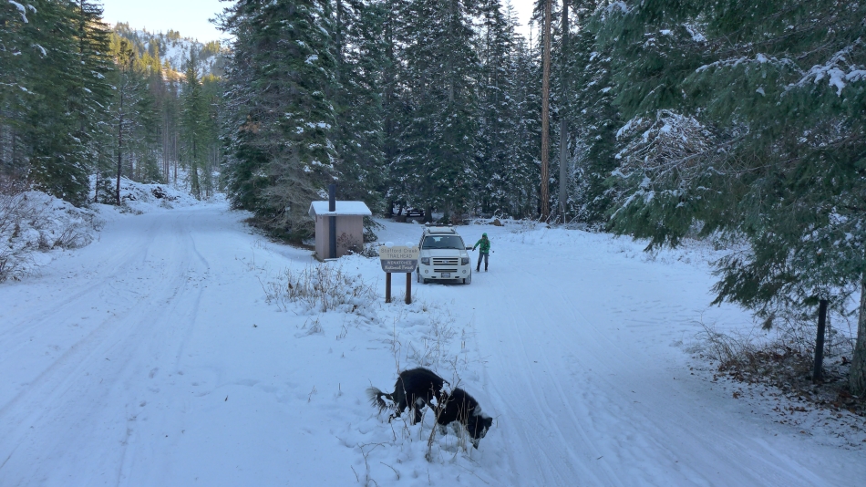
Parking (~3100') at the Stafford Creek Trailhead.
|
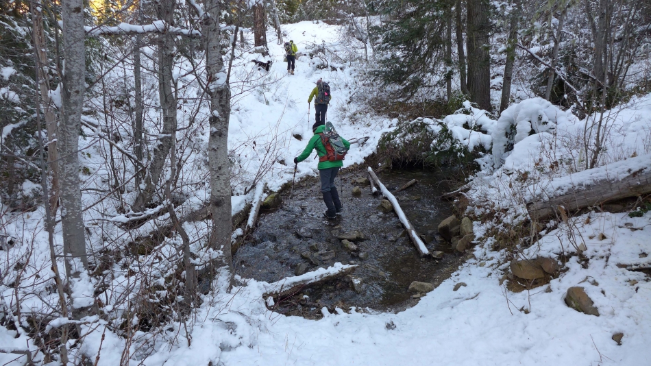
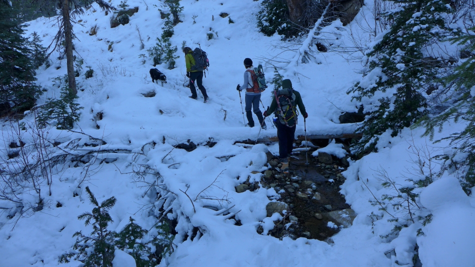
The first stream crossing.
|
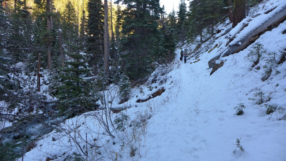
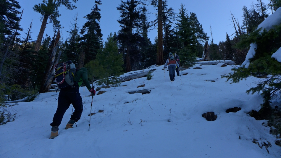
The trail had seen some travel before we hiked on it... no need for snowshoes.
|
The second stream crossing.
|
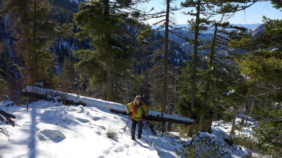
We left the trail at ~4000 feet and headed up on steeper terrain.
|
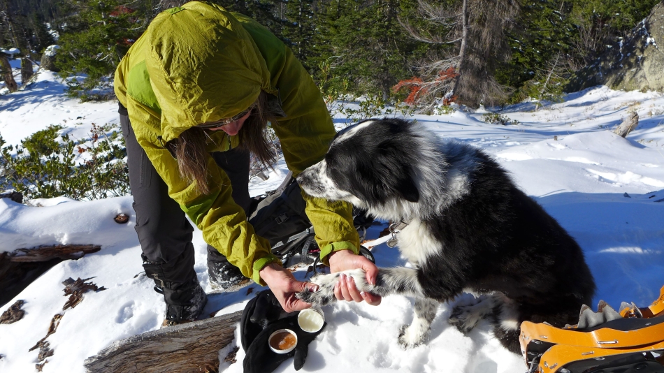
We hit sunshine at ~4600 feet... and Izzy gets a pedicure.
|
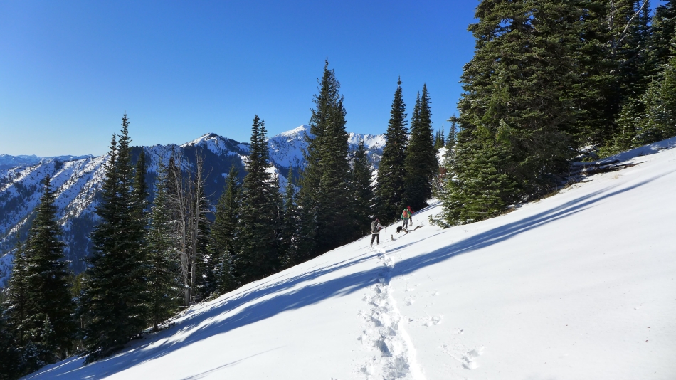
Continuing up.
|
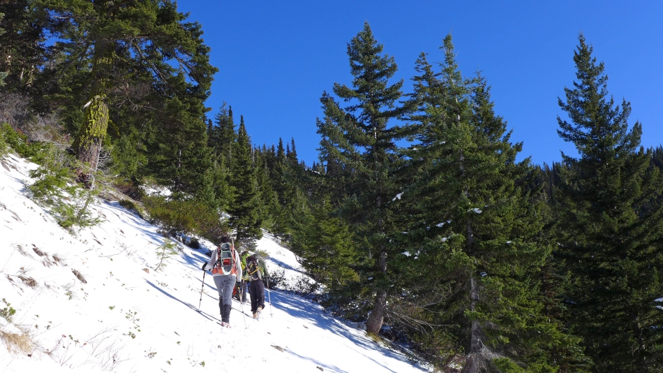
Above 5000 feet and still haven't gone to our snowshoes yet.
|
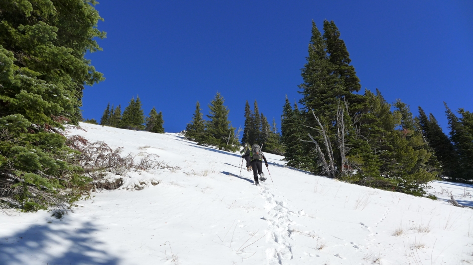
We put on the snowshoes at ~5500 feet... still 500 feet below the ridge.
|
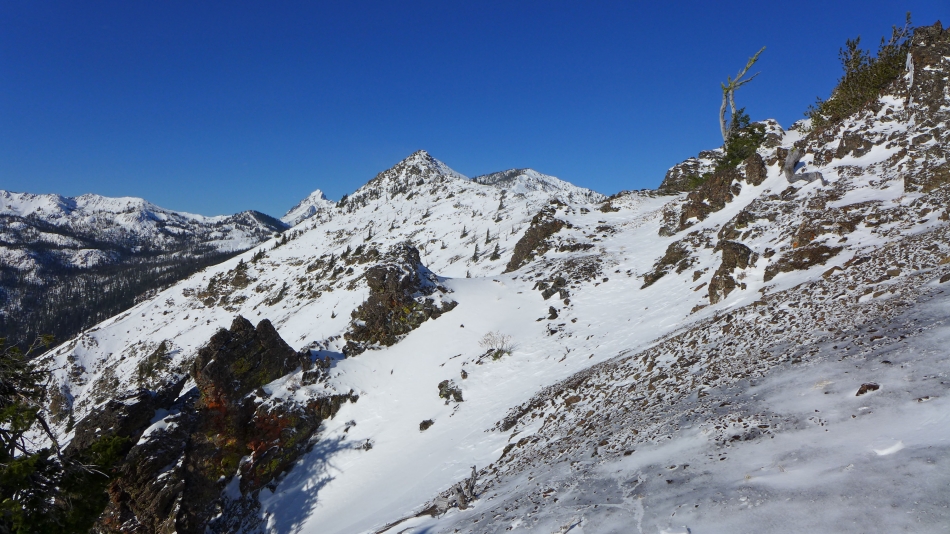
We reached the ridge (~5920') and got this view of Freedom Peak in the foreground... with Mt. Stuart in the distance to the left of Freedom... and Navaho Peak to the right.
|
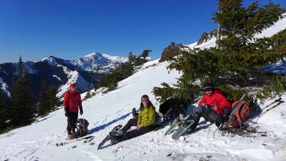
Lunch time just below the ridge to escape from the wind... Earl Peak in the distance.
|
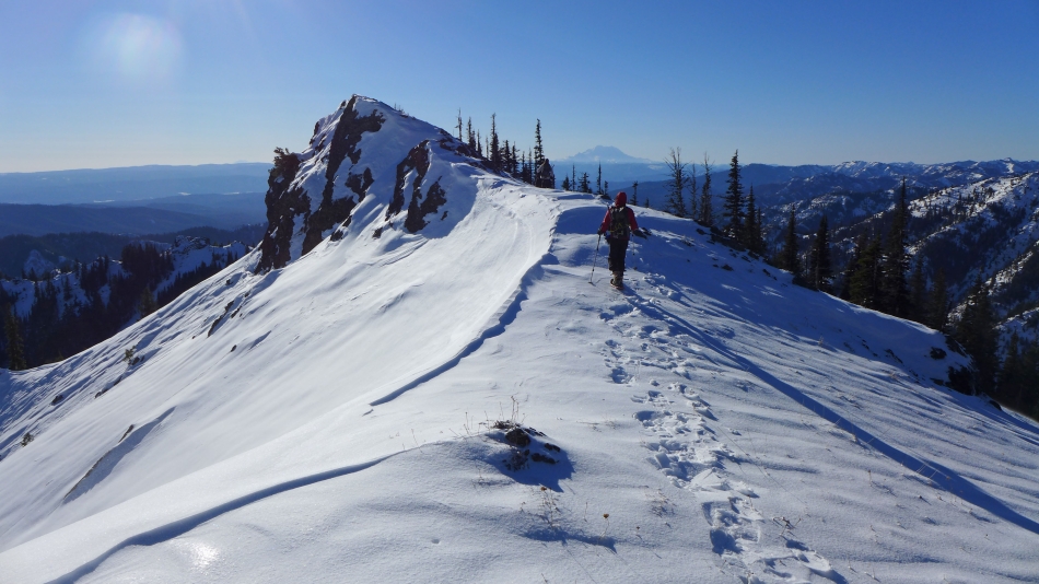
Nearing Peak 5818... with Mt. Rainier in the distance.
|
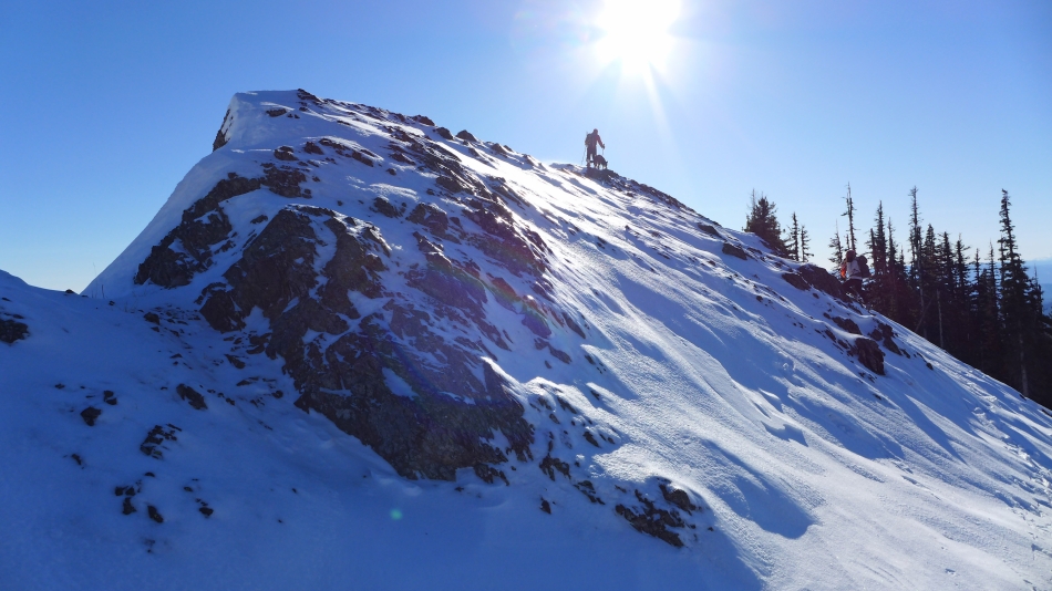
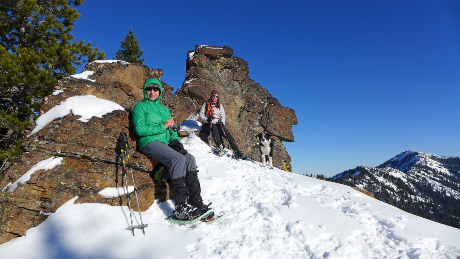
iraman and Izzy on the summit of Peak 5818.
|
ragman and Snowdog in the spotlight on the summit of Peak 5818... with Mt. Rainier on the horizon.
|
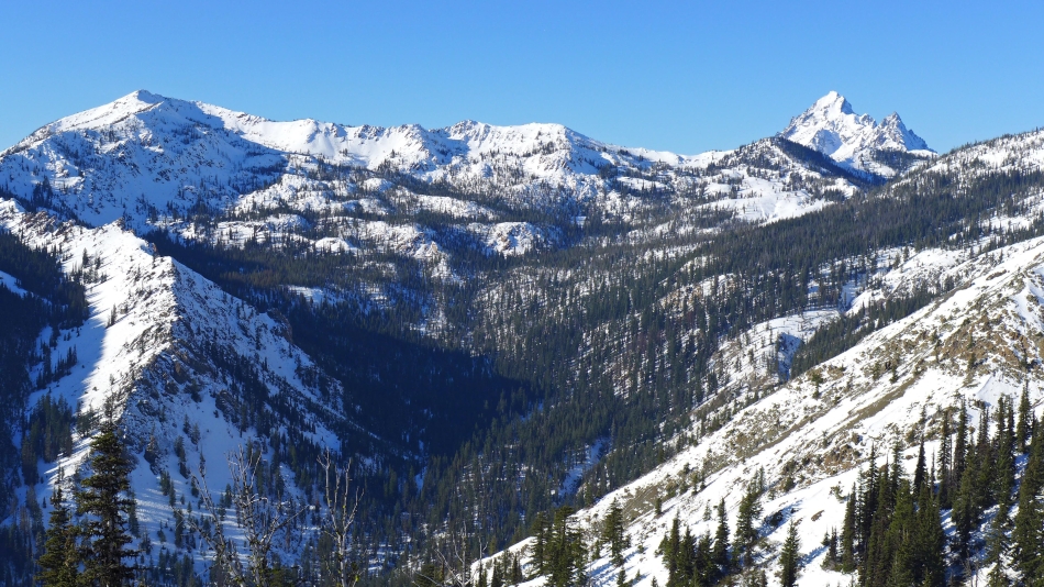
Earl Peak on the left... with Mt. Stuart and Sherpa Peak on the right.
|
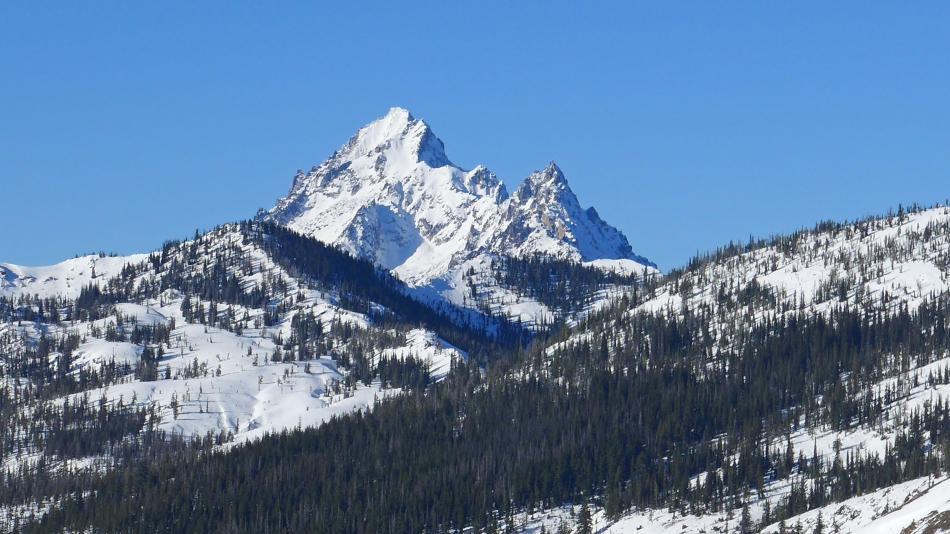
A closeup of Stuart and Sherpa.
|
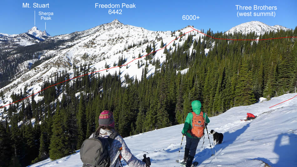
Peak identification from Peak 5818... and the approximate route that we took from Stafford Creek up to the ridge.
|
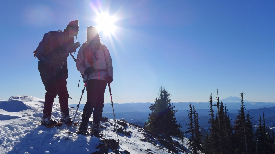
Break time near Peak 5818... with Miller Peak on the right.
|
Heading down from Peak 5818... Earl Peak in the center of the photo.
|
