Nippletop - 4.13.2016
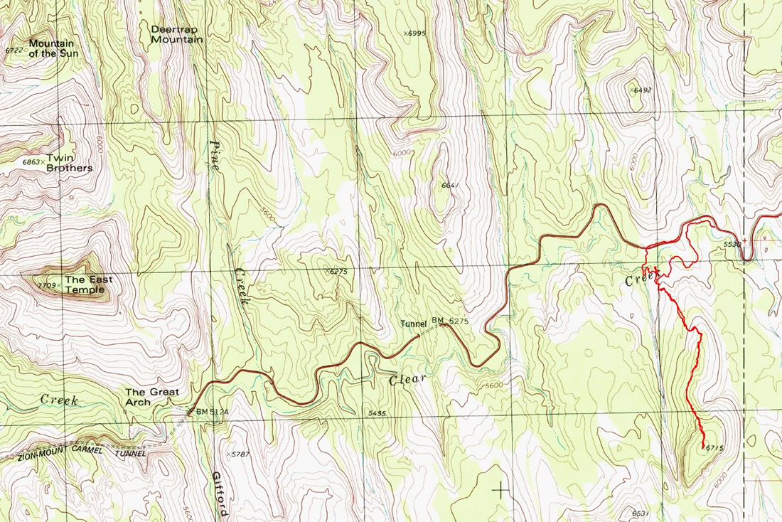
A photo of the GPS track for our trip to Nippletop... 3 miles roundtrip, gaining 1723 feet of elevation... park in a pull-out on the side of Hwy 9... approximately 1.5 to 2 miles east of the small tunnel.
|
The easiest way to get on route is to walk back down Hwy 9 toward the small tunnel and leave the road directly across the road from Point 6240+ (aka South Ariel Peak).
|
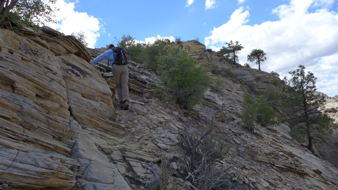
Shortly after leaving Hwy 9 look for the easiest slickrock to start your ascent... here it is toward the right.
|
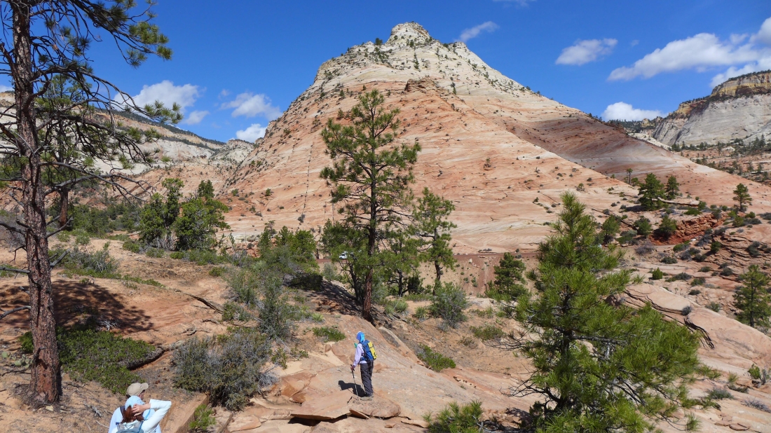
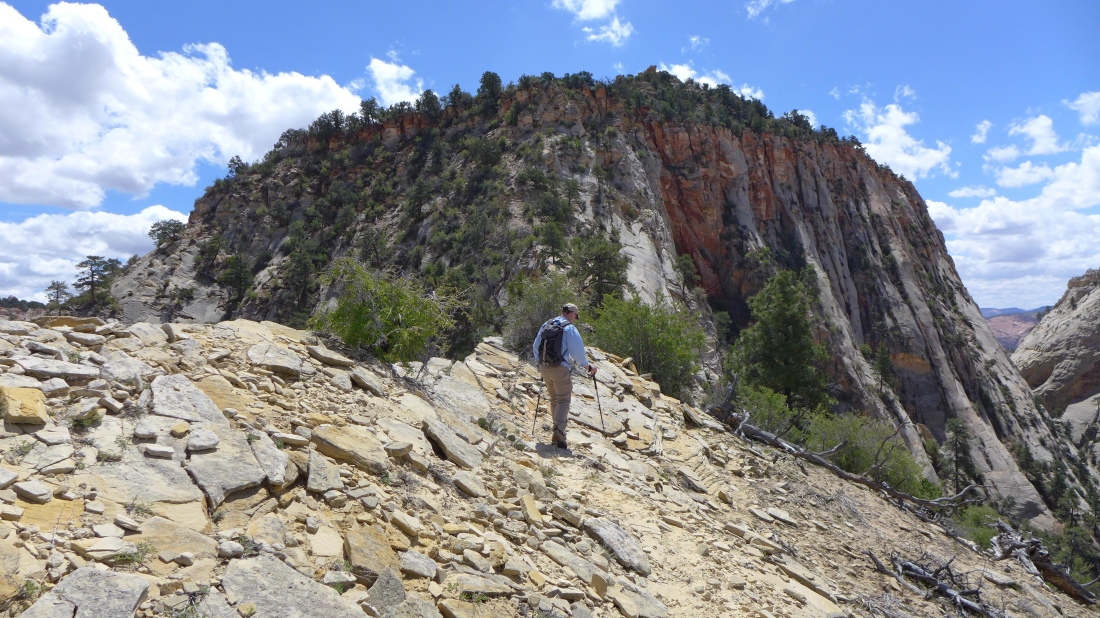
BarbE and tomman on the slickrock on the south side of Hwy 9... South Ariel Peak (aka Point 6240+) is directly behind them.
|
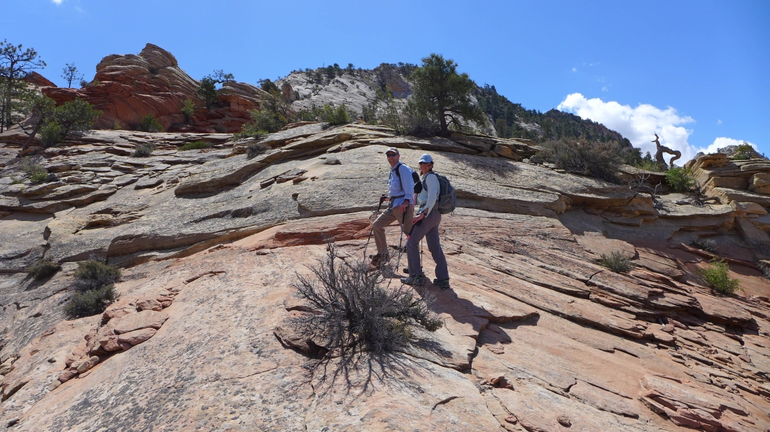
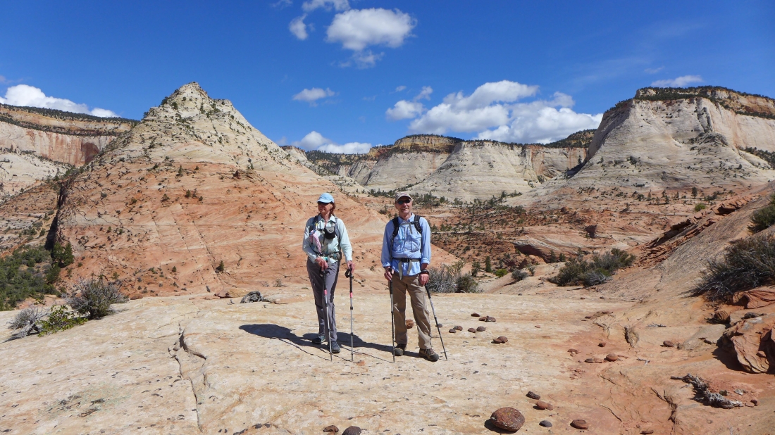
On slickrock... the false summit is directly above them... with the Nippletop summit just to the right of them further back from the false summit.
|
|
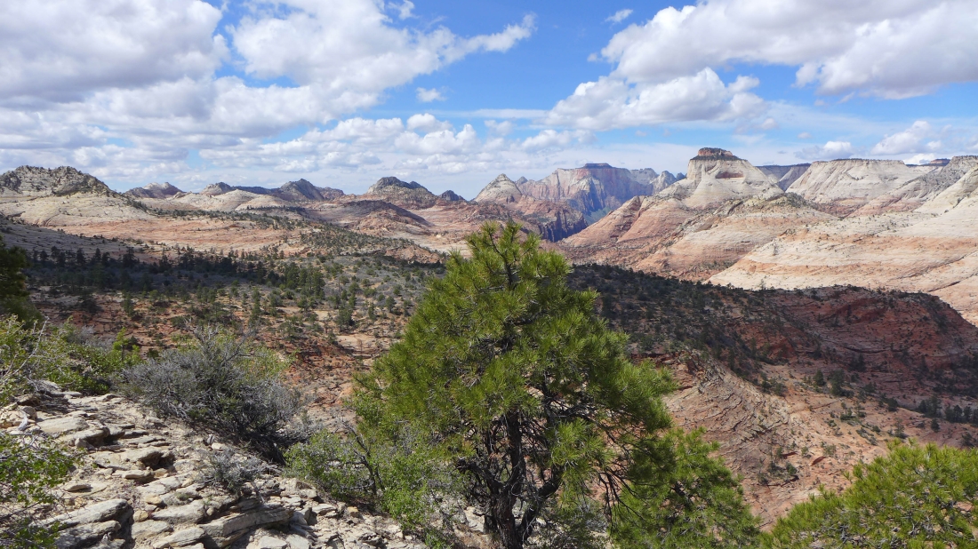
A pano shot looking north across Hwy 9 as we gain elevation... South Ariel Peak is in the center of the photo.
|
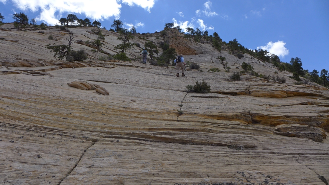
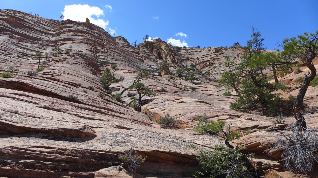
The slickrock becomes steeper the closer we get to the false summit.
|
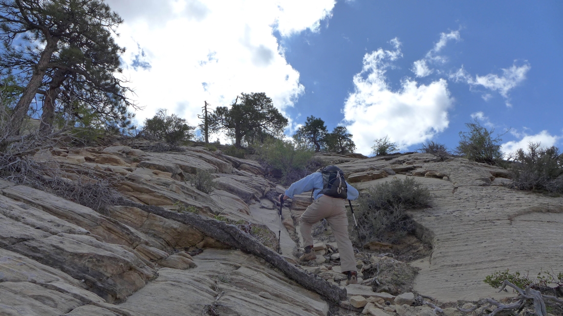
We have found a break in the slickrock with some vegetation growing... this will help us big time to reach the false summit.
|
Nearing the false summit of Nippletop... looking west toward The West Temple and The East Temple both of which have a red hat on top... Twin Brothers on the far right.
|

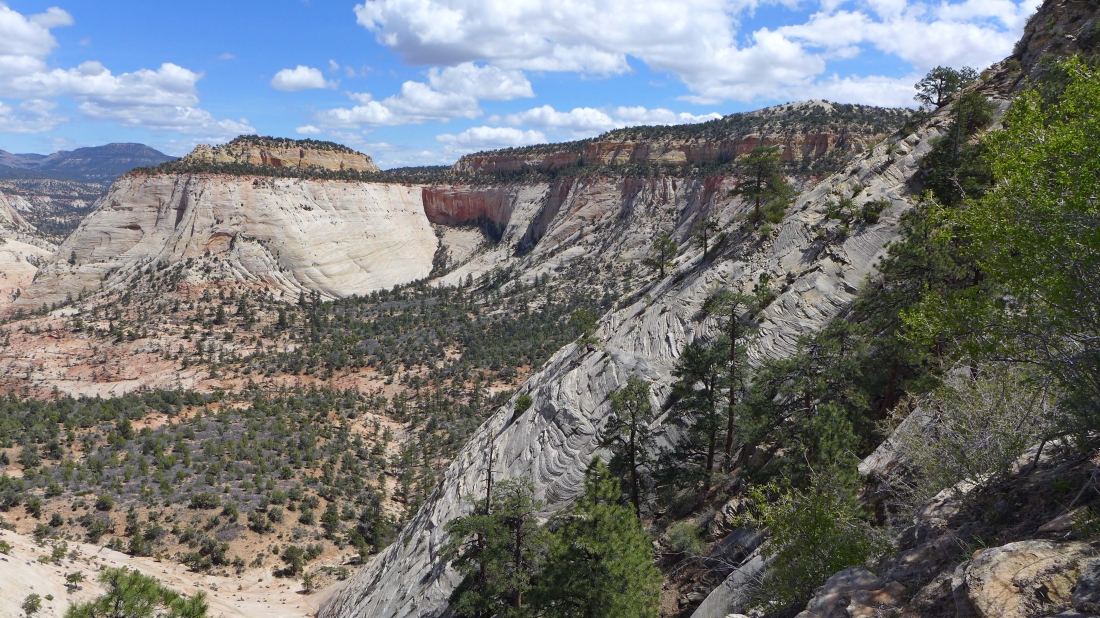
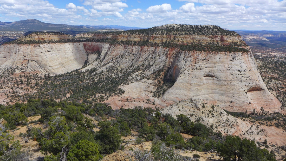
The northern terminus of Crazy Quilt Mesa on the right.
|
Almost on the false summit of Nippletop.
|
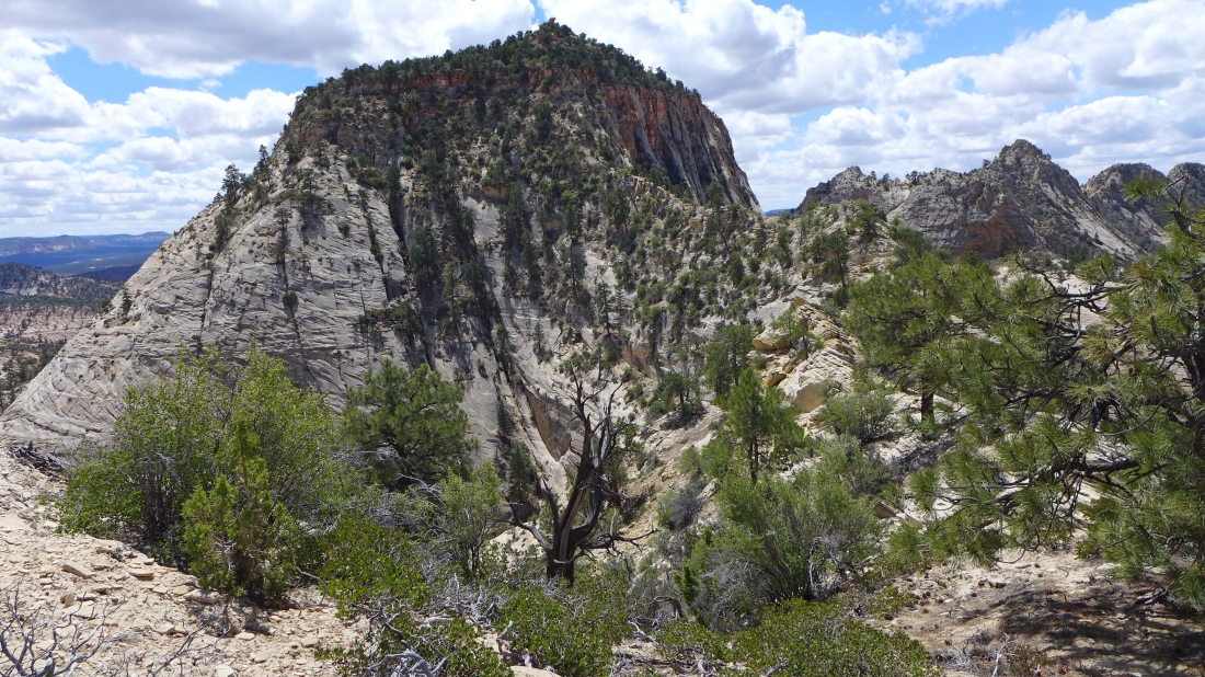
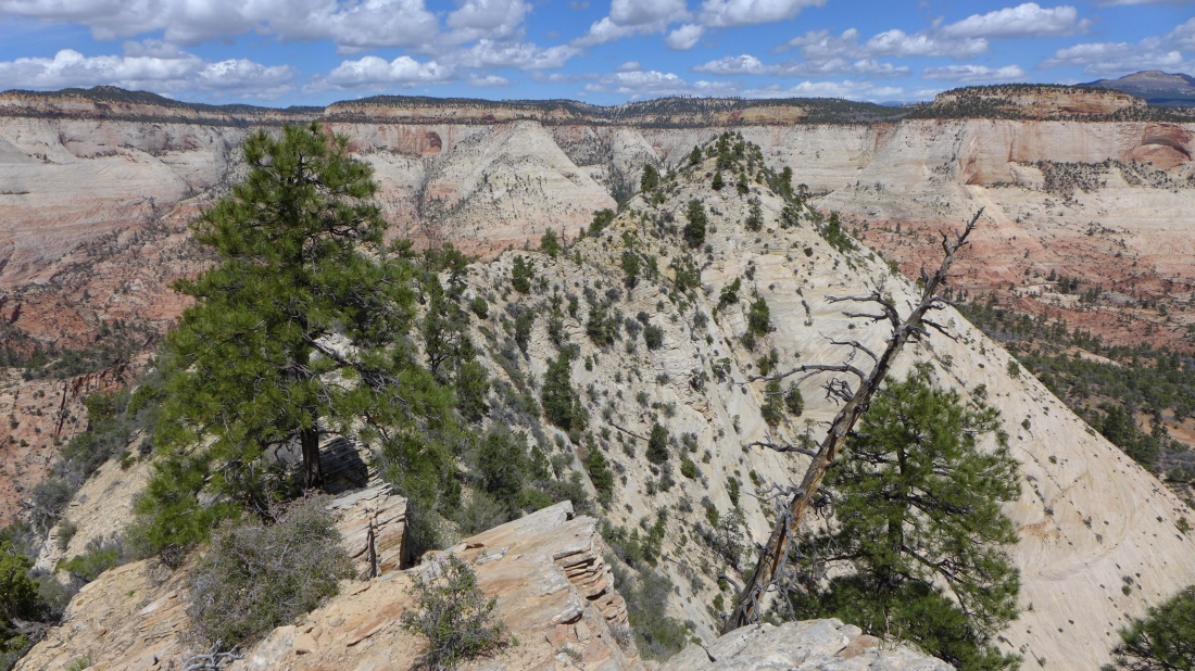
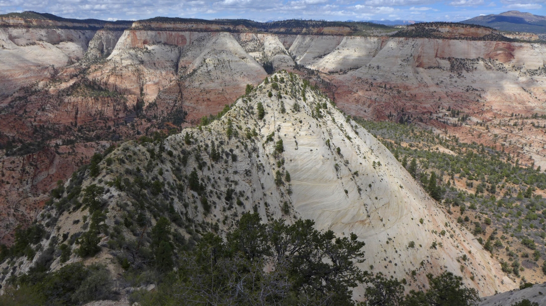
tomman on the false summit of Nippletop.... part of the very broad and flatish Cable Mountain on the left.
|
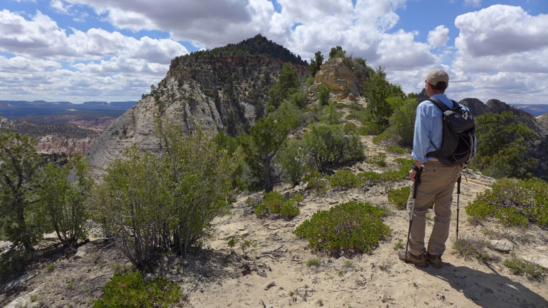
From the false summit we can see that there is plenty of work left to reach the Nippletop summit.
|
A pano shot from the false summit... looking west and north.
|
Lets go get the summit.
|
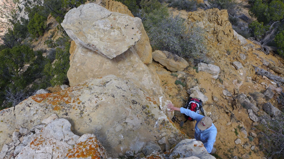
tomman nearing the steep cliffy section that will get us up to the summit.
|
Looking back at the false summit as we near the cliffy section that will get us up to the summit.
|
Looking west... the two tallest ones with the red hats are The West Temple and The East Temple.
|
Heading up the cliffy section of Nippletop and looking east to Crazy Quilt Mesa.
|
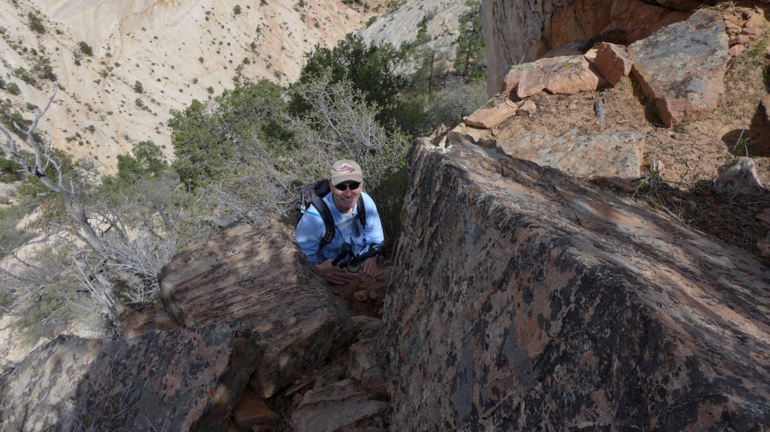
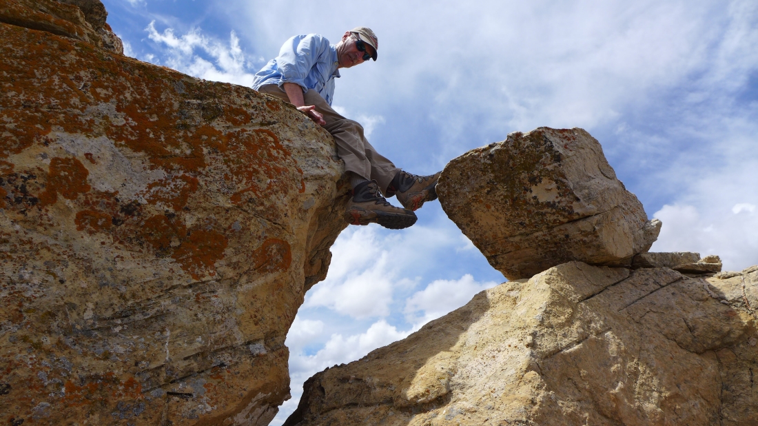
Are we having fun yet... Class 3 now.
|
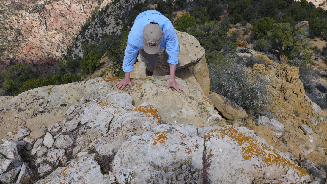
I'm on the summit... watching tomman start the last few moves to the top.
|
One more giant leap for mankind.
|
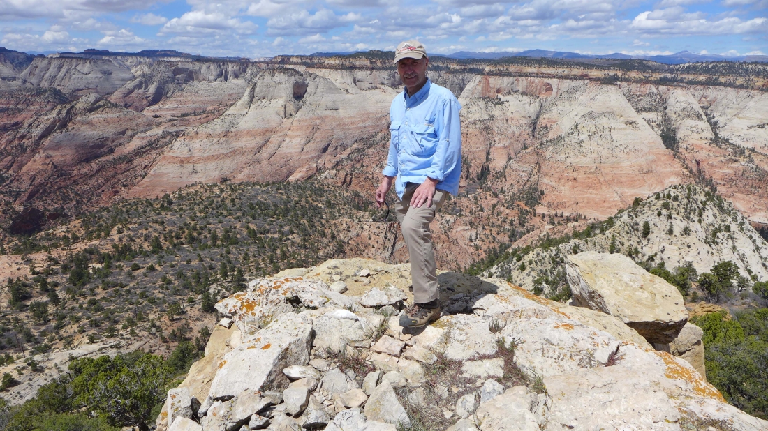
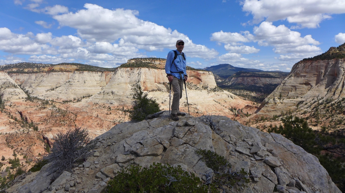
Tada... tomman on the summit (6715') of Nippletop.
|
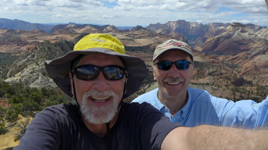
A selfie on the Nippletop summit.
|
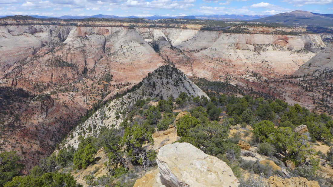
Crazy Quilt Mesa from Nippletop.
|
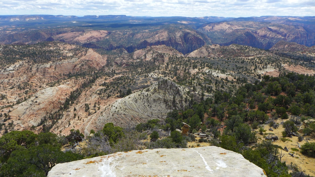
Looking south to Parunuweap Canyon running left to right across the center of the photo... it holds the east fork of the Virgin River.
|
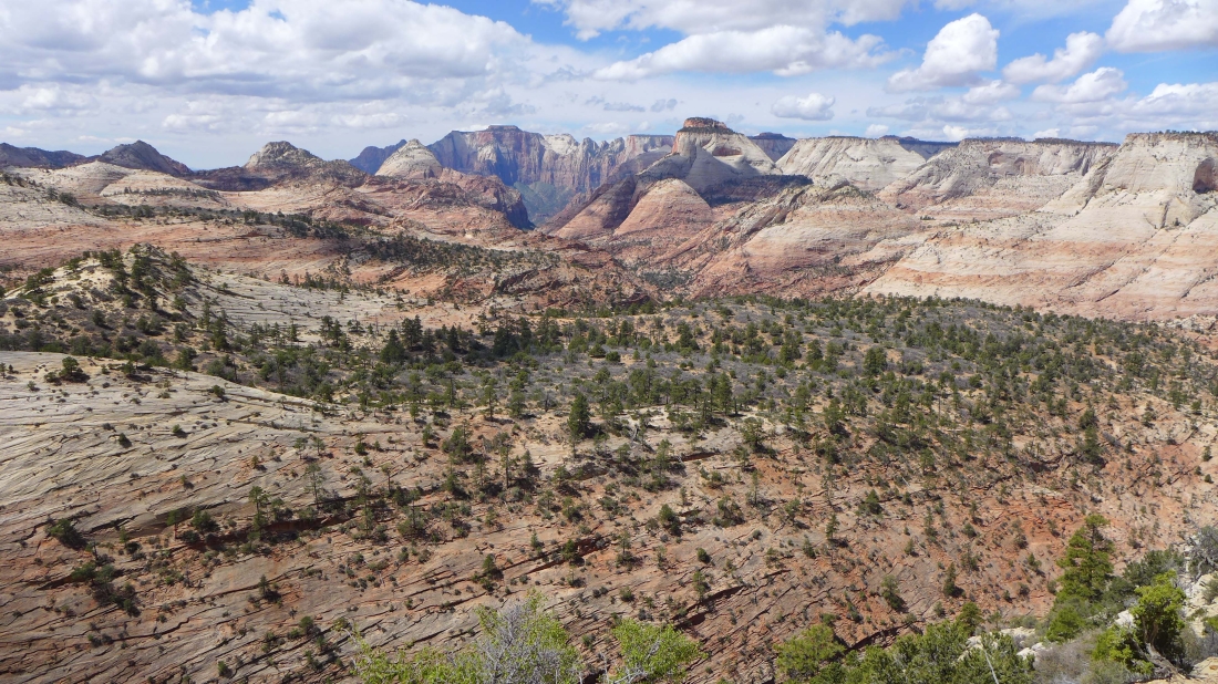
A stunning view from this pano shot... looking west and north from the Nippletop summit.
|
The route we will follow back to the false summit.
|
tomman descends from the Nippletop summit.
|
Our route back to the false summit.
|
