Point 3996 in Snow Canyon State Park - 4.14.2016
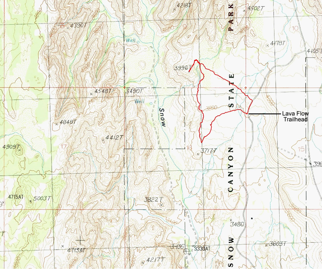
A photo of the GPS track for our hike in Snow Canyon State Park to Point 3996... 2.5 miles roundtrip, gaining 444 feet of elevation.
|
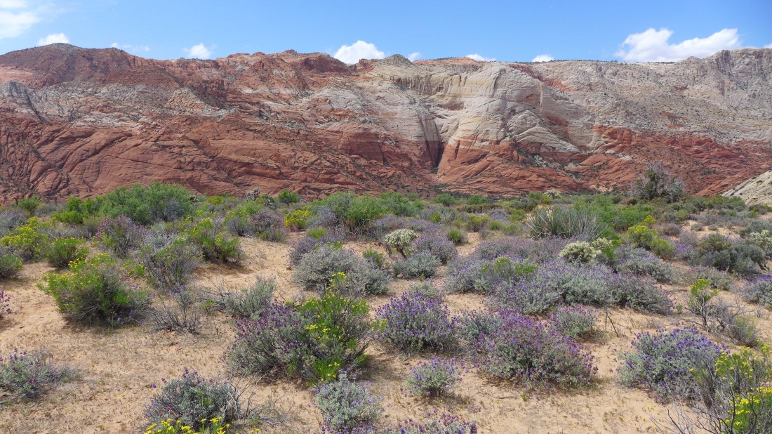
We started at the Lava Flow Trailhead from the road that runs north and south through the park... hiked into the lava beds... then headed north toward the Whiterocks.
|
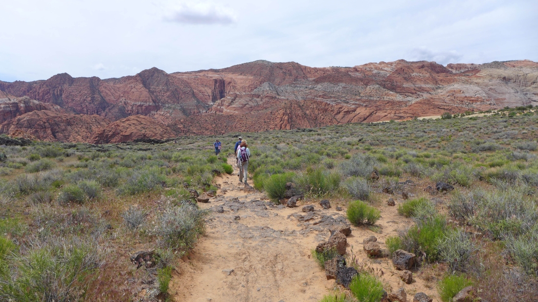
The trail starts by heading toward the red rock on the west side of Snow Canyon.
|
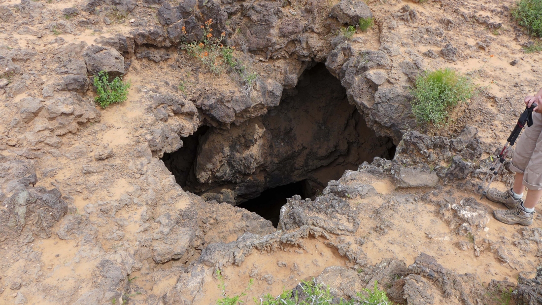
Lots of lava pits.
|
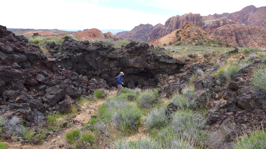
tomman explores one of the lava tubes.
|
We have turned north and going cross-country toward the Whiterocks.
|
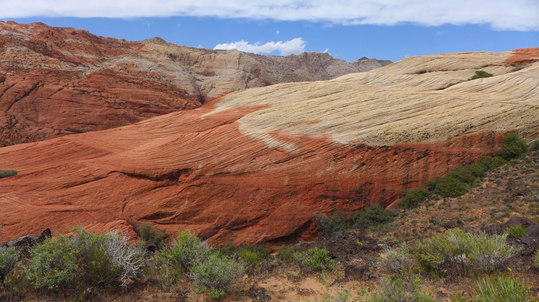
Awesome rock.
|
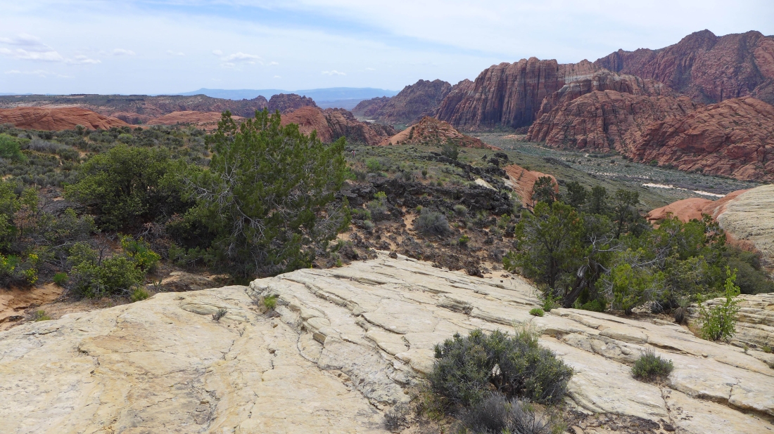
Gaining elevation as we go north in the park... and here looking back toward the south end of the park.
|
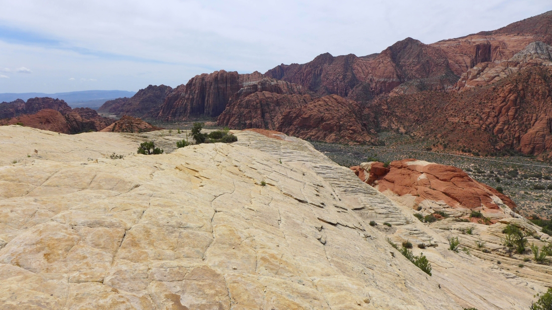
Continuing north in the park... and looking back to the south end of the park.
|
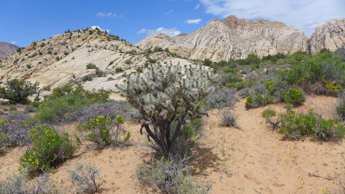
Nearing the Whiterocks... a cholla cactus in the foreground.
|
The purple flower is 'desert sage'.
|
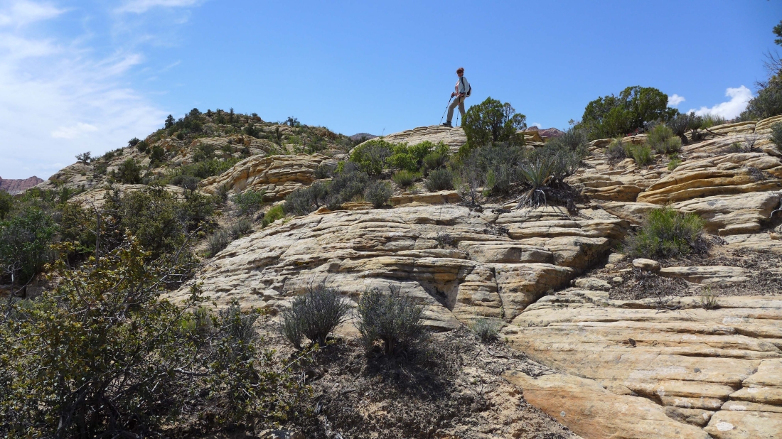
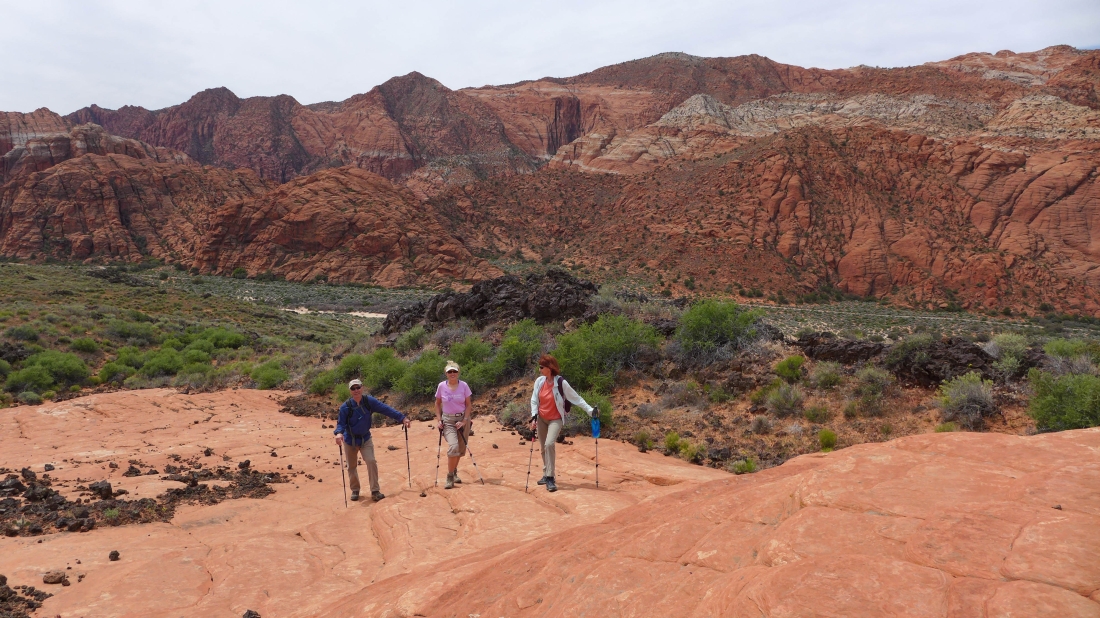
BarbE is heading for our high point of 3996 on the left.
|
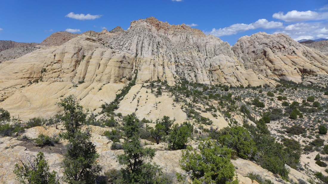
Whiterocks from Point 3996.
|
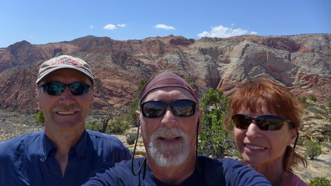
A selfie from Point 3996... tomman, ragman and BarbE... Padre Canyon is back there somewhere in the red rock.
|
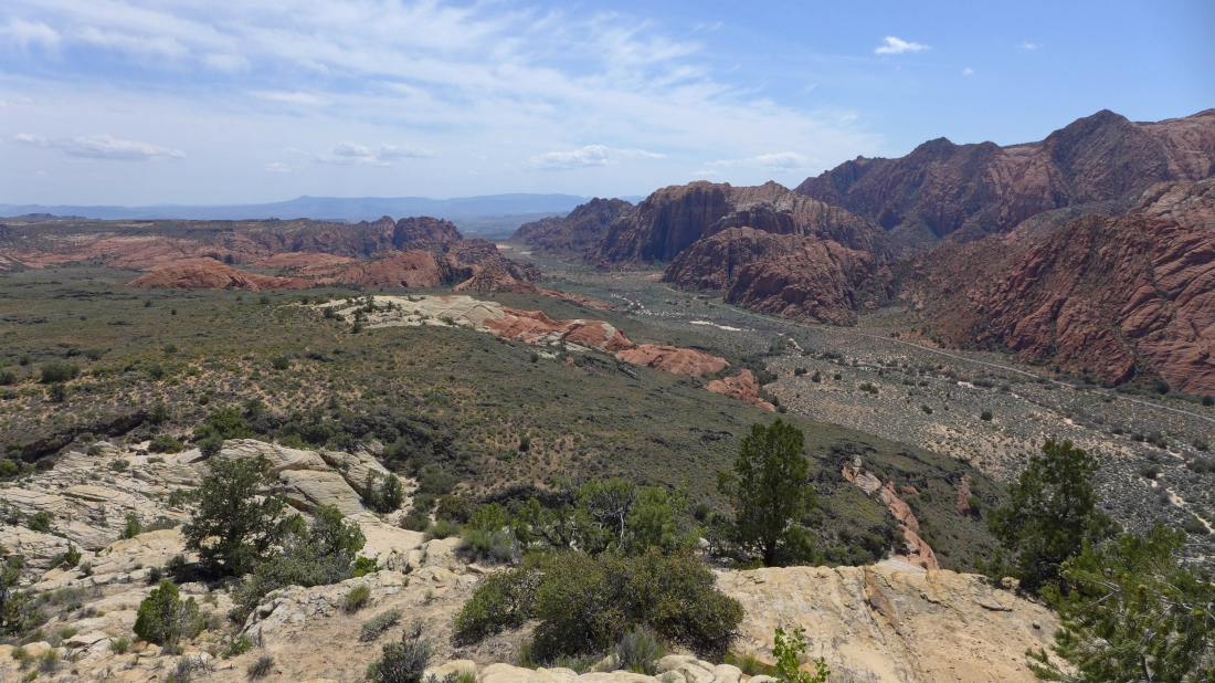
Looking south from Point 3996... from here we will go cross-country over to the road... then hike a short distance on the road back to our car.
|
