Hawkins Mountain - 5.25.2016
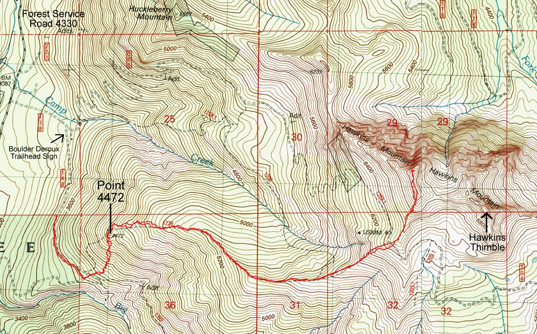
A photo of the GPS track of our trip to Hawkins Mountain... 6.6 miles roundtrip, gaining 3730 feet of elevation.
|
Drive thru Roslyn and Ronald and continue on the Salmon La Sac Road for several miles... just before the road crosses the Cle Elum River, turn right on FS 4330 and head steeply uphill... drive 4330 for 5 miles and turn right onto Road 4330-138.
|
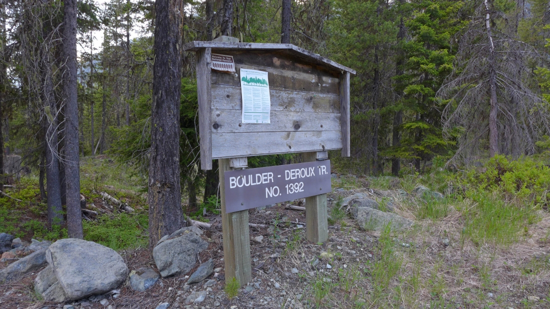
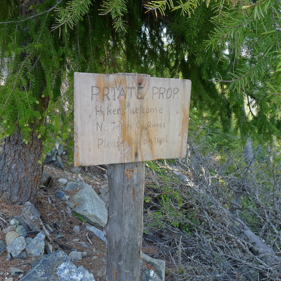
Drive Road 4330-138 for .3 miles and turn right on Road 4330-140 (unsigned) where you will see this trailhead sign for Boulder - DeRoux Trail 1392... however, there is no trail... so we continued driving on 4330-140.
|
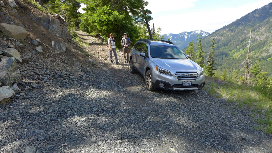
We drove Road 4330-140 for a half-mile and parked (3480') where the road was too narrow to continue driving.
|
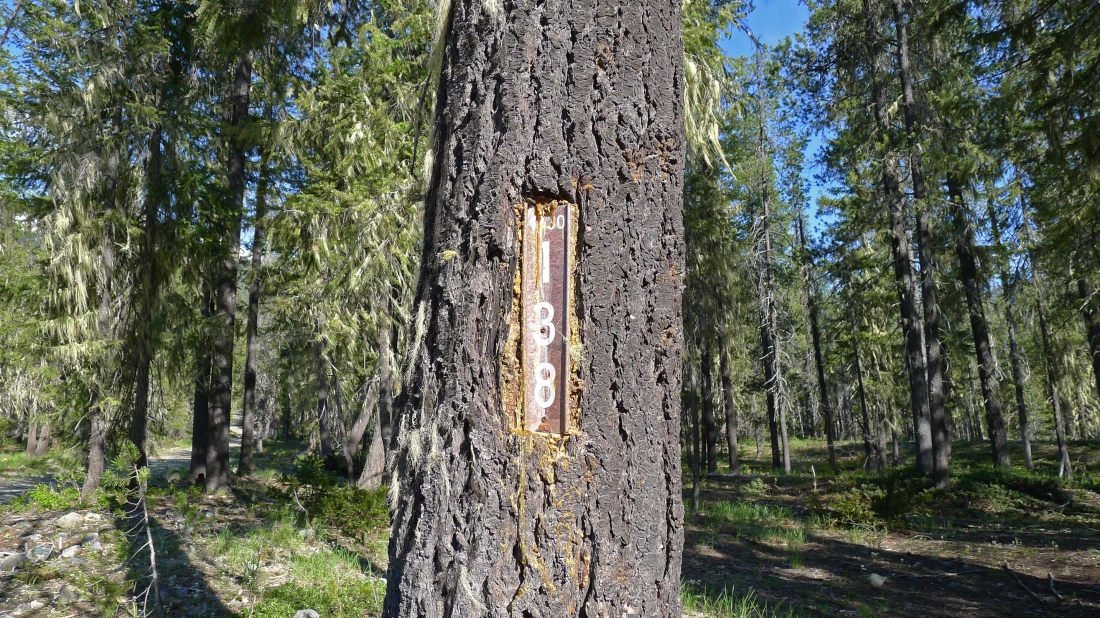
In July 2008 this sign was where we parked after driving 4330-140 for a half-mile... however, the sign has been removed.
|
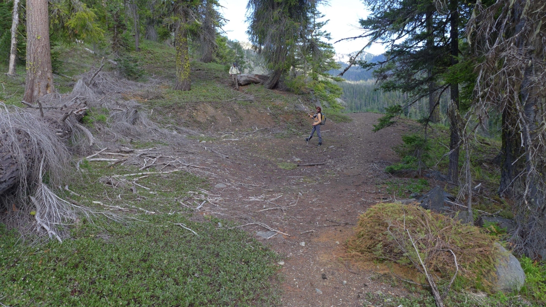
We hiked the road (or is it Boulder - DeRoux Trail #1392) for ~.5 miles to the place in this photo... where we found a faint path that left the road and headed uphill... this spot looks like it might have been a small parking area for people who were going to hike the Boulder - DeRoux Trail because the road/trail definitely continued on up the Boulder Creek drainage.
|
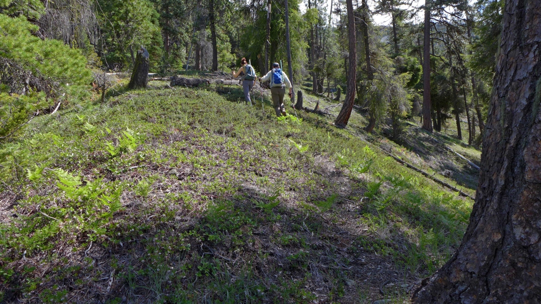
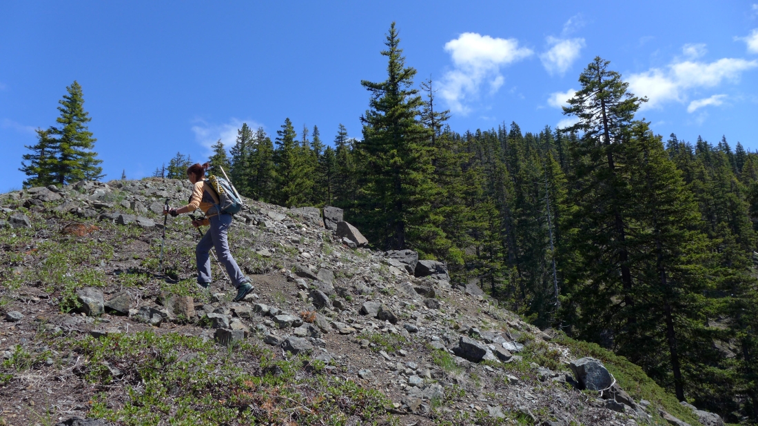
I took this photo shortly after we left the road/trail... showing the faint path that we would follow up to Point 4472.
|
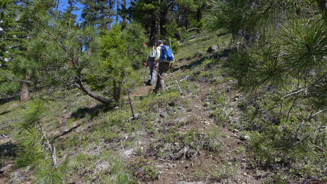
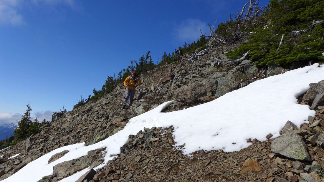
Still following the faint path on our way up to Point 4472.
|
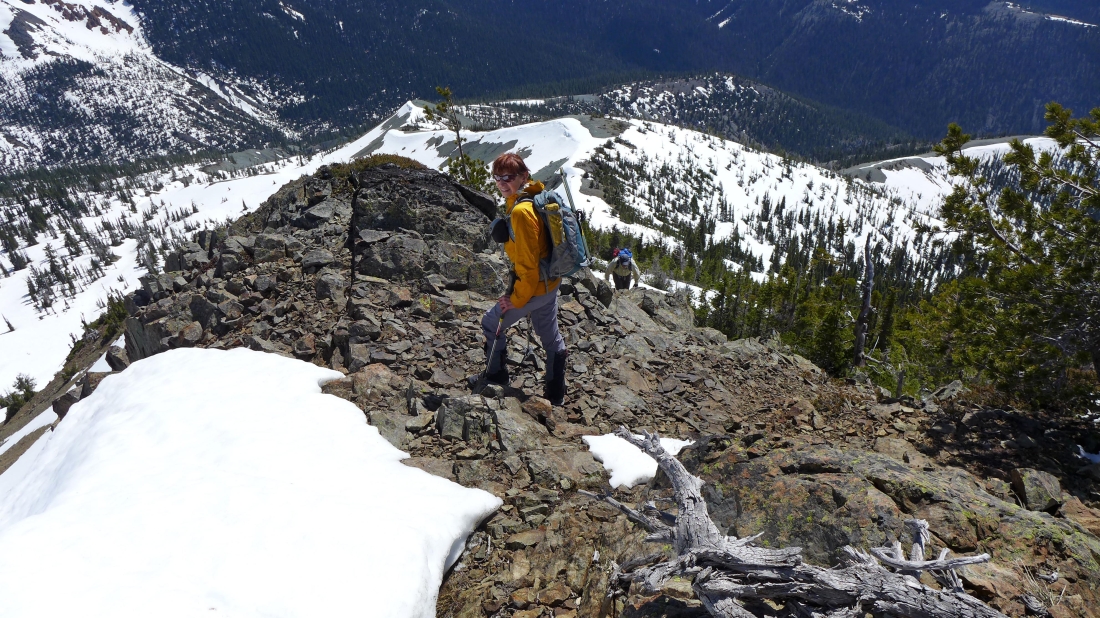
BarbE just below Point 4472... which we will cross over and find remnants of the abandoned Hawkins Mountain Trail #1228.
|
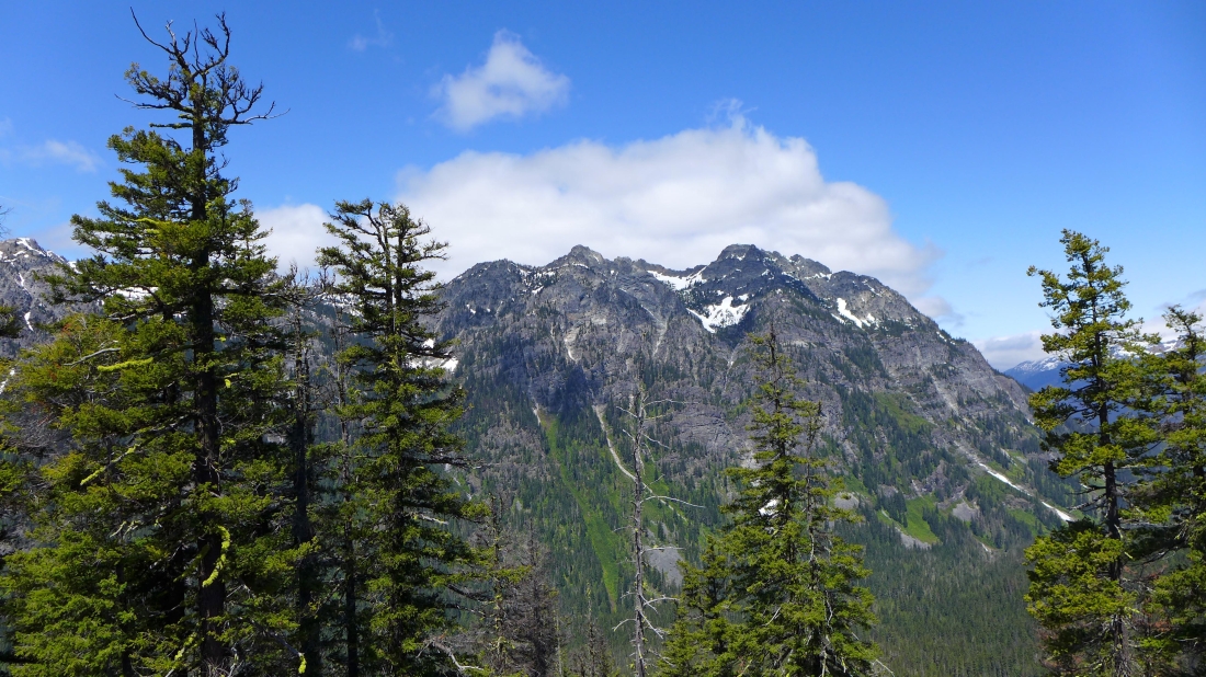
From Point 4472 we are looking across the valley to Goat Mountain... the false summit of Davis Peak is on the far left side of the photo.
|
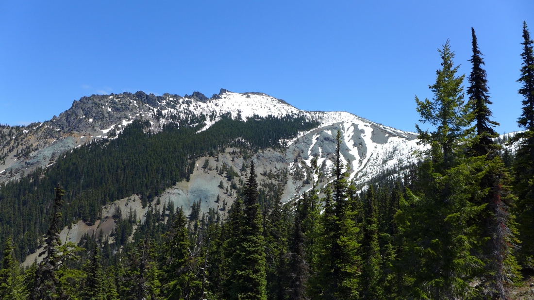
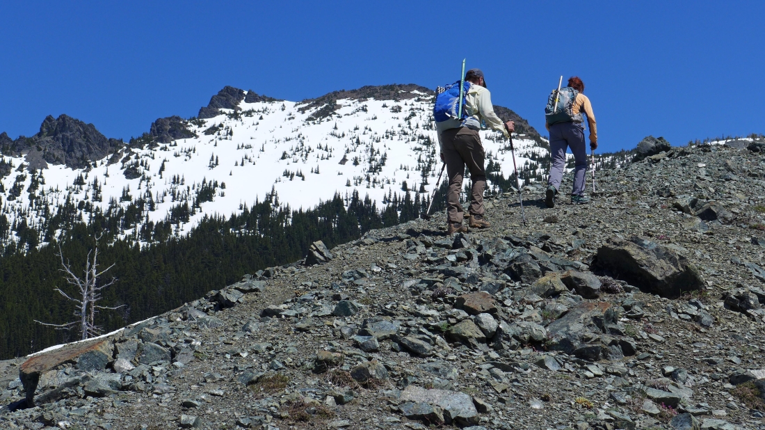
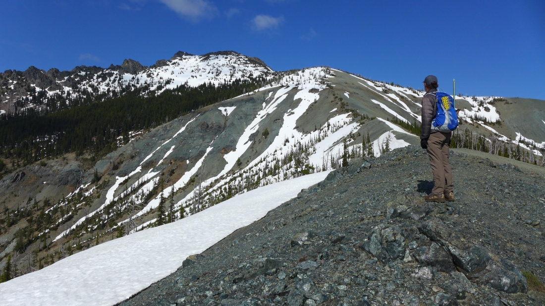
We came out of the trees at ~5300 feet and got this view of Hawkins Mountain... even though Hawkins Mountain Trail #1228 has been abandoned, it is very easy to follow now.
|
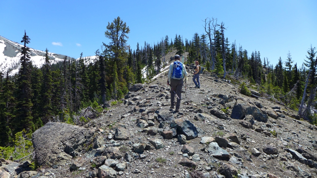
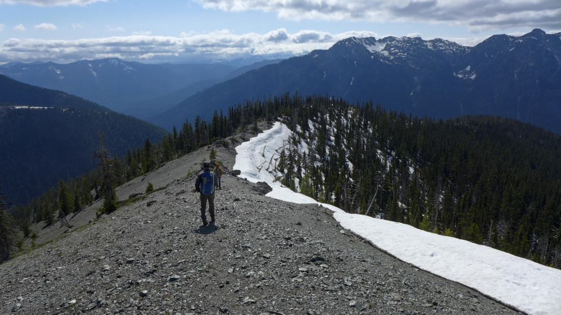
In open terrain now as we continue along the ridge on the Hawkins Mountain Trail.
|
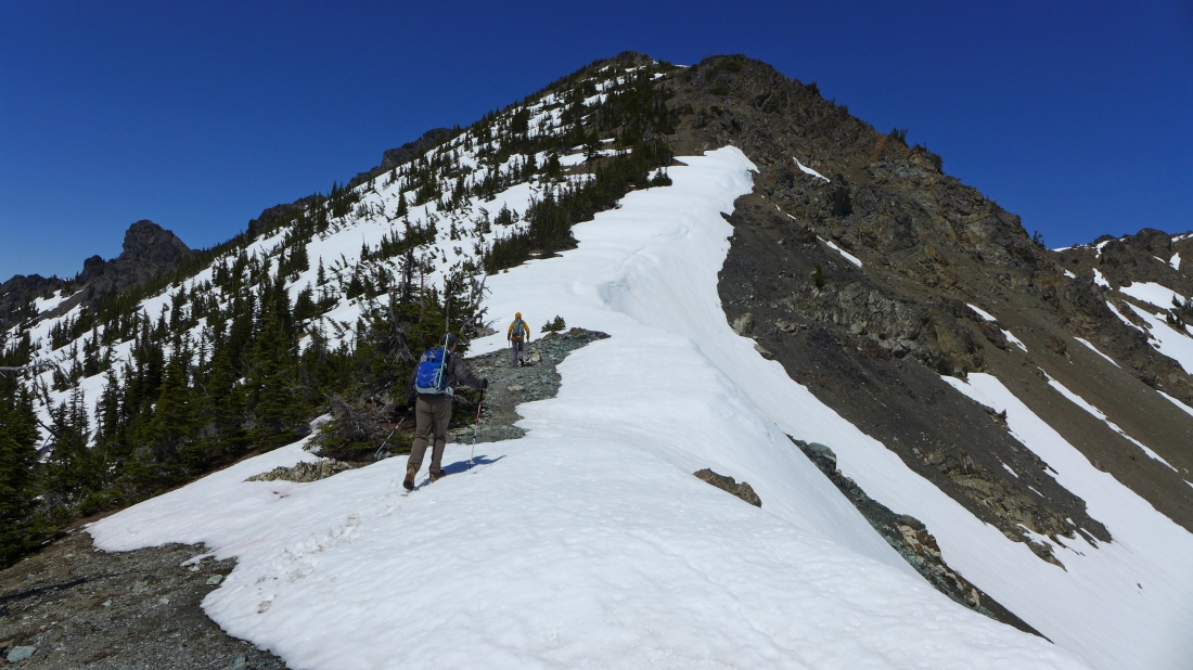
On the ridge that will lead us to Hawkins Mountain.
|
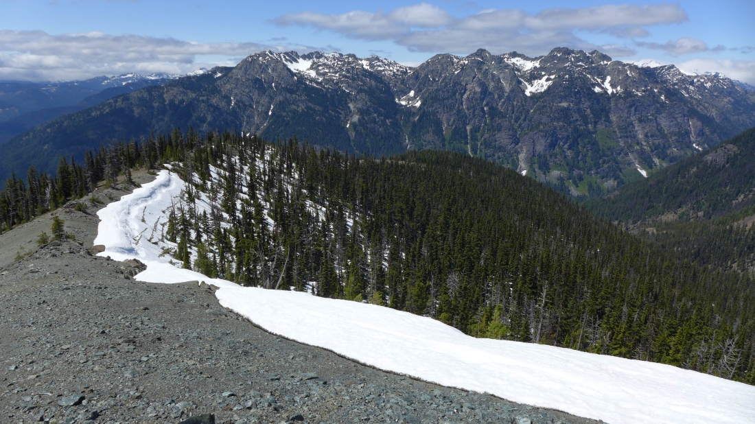
Looking back at our route along the ridge... Davis Peak and Goat Mountain across the valley.
|
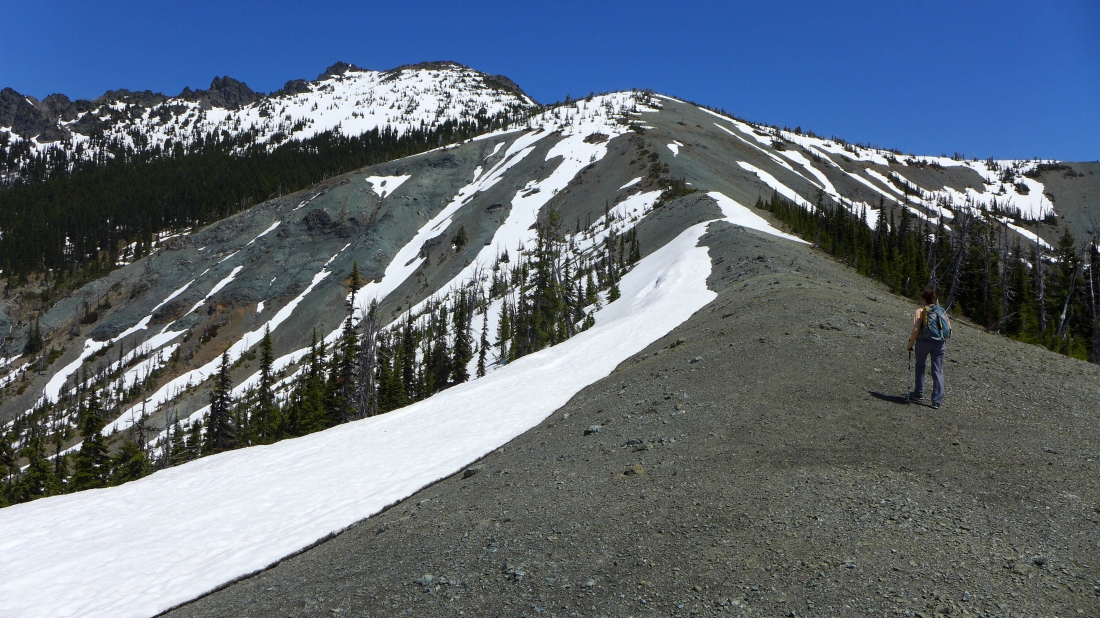
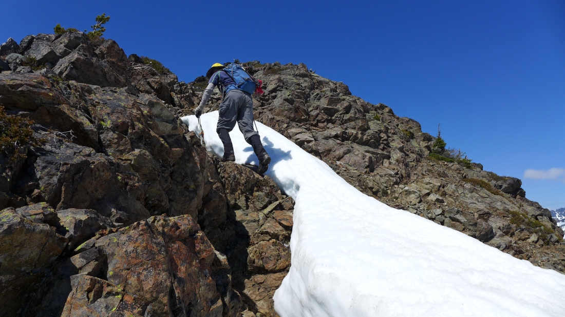
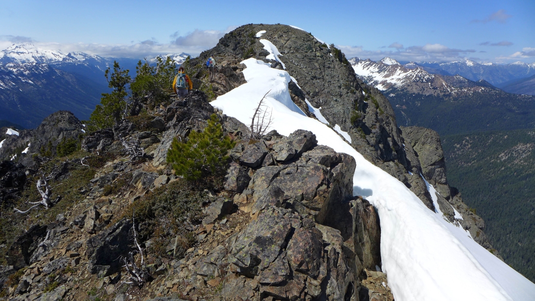
Continuing along the ridge on the west side of Hawkins Mountain.
|

On steeper terrain now... on the SW ridge of Hawkins Mountain... Goat Mountain in the left foreground... Mt. Daniel is the big snow covered one in the center of the photo... Granite Mountain and the Paddy-Go-Easy Pass Peaks on the right.
|
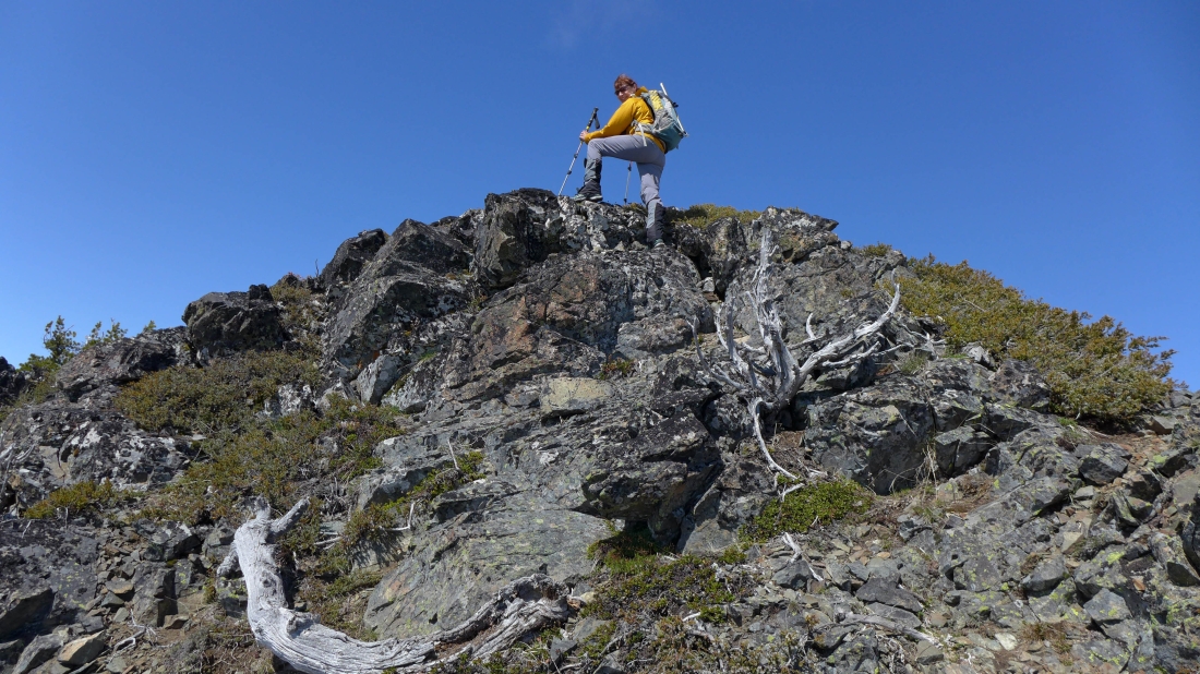
One more push to get up to the false summit.
|
Working our way up to the false summit of Hawkins... we came up via the ridge on the far right.
|
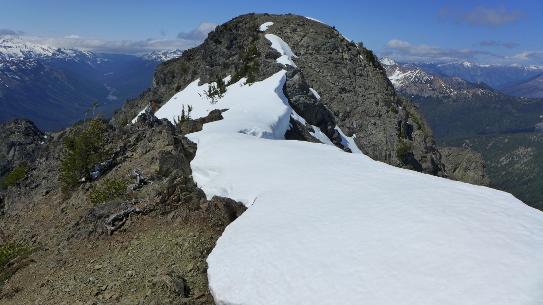
I'm on a fun scramble section leading directly to the false summit... many folks skip the false summit by going underneath it on an upward traverse to the saddle between the false summit and true summit.
|
BarbE on the false summit (7080+) of Hawkins Mountain.
|
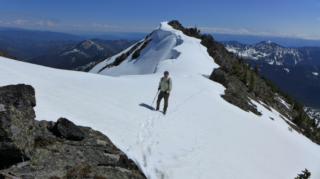
I'm on the false summit... watching BarbE and tomman working their way along the ridge toward the true summit of Hawkins.
|
BarbE scouts the route to the true summit of Hawkins.
|
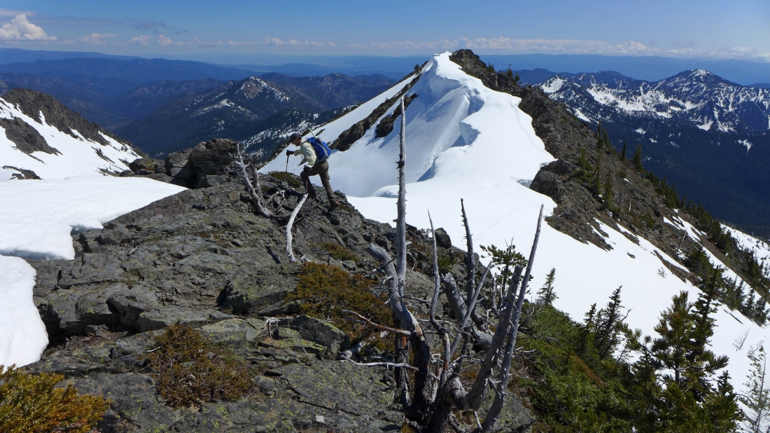
tomman works his way along the ridge... the false summit is behind him... Koppen Mountain on the left... Jolly Mountain on the right.
|

BarbE nears the Hawkins Mountain summit.
|
tomman is almost on the summit... and the corniced ridge leading over to the false summit.
|
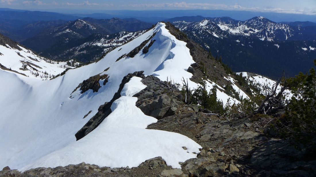
On the summit (7160) now... and looking at the corniced ridge leading to the false summit... Koppen Mountain on the left... with The Louvre and Jolly Mountain on the right.
|
Hawkins Thimble on the far left... Koppen Mountain in the center of the photo... and the corniced ridge leading to the false summit of Hawkins on the right... with The Louvre on the far right.
|
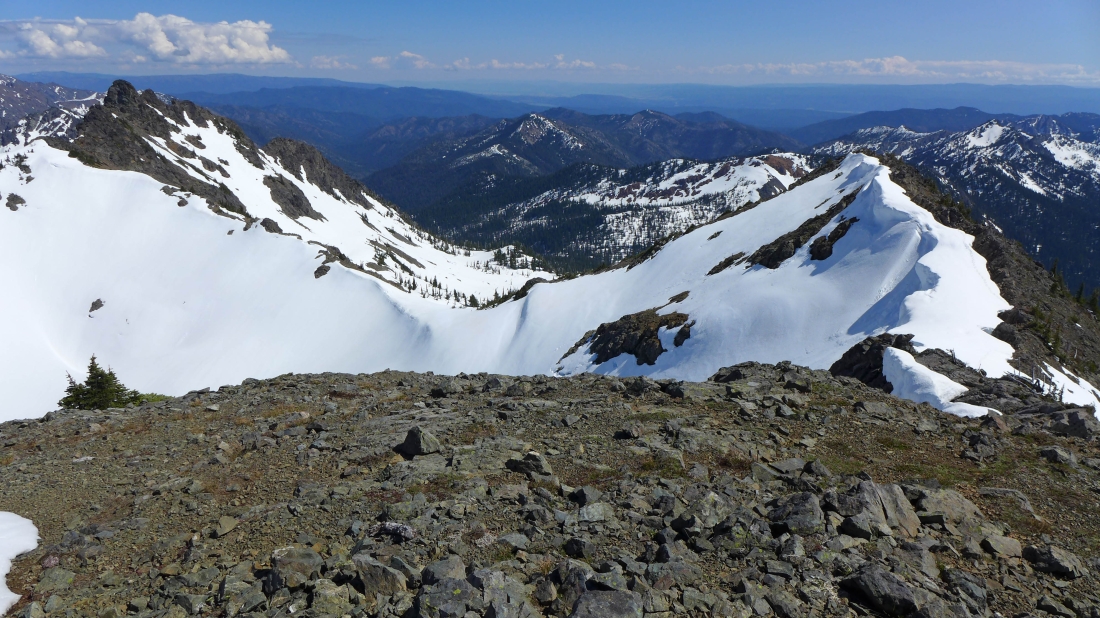
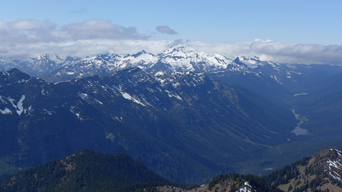
From the Hawkins summit we are looking NE (left) to east.
|
A closeup of Mt. Daniel... with The Citadel just to the left of Daniel... and Cathedral Rock just to the right of Daniel... Tucquala Lake and Hyas Lake in the valley on the right.
|
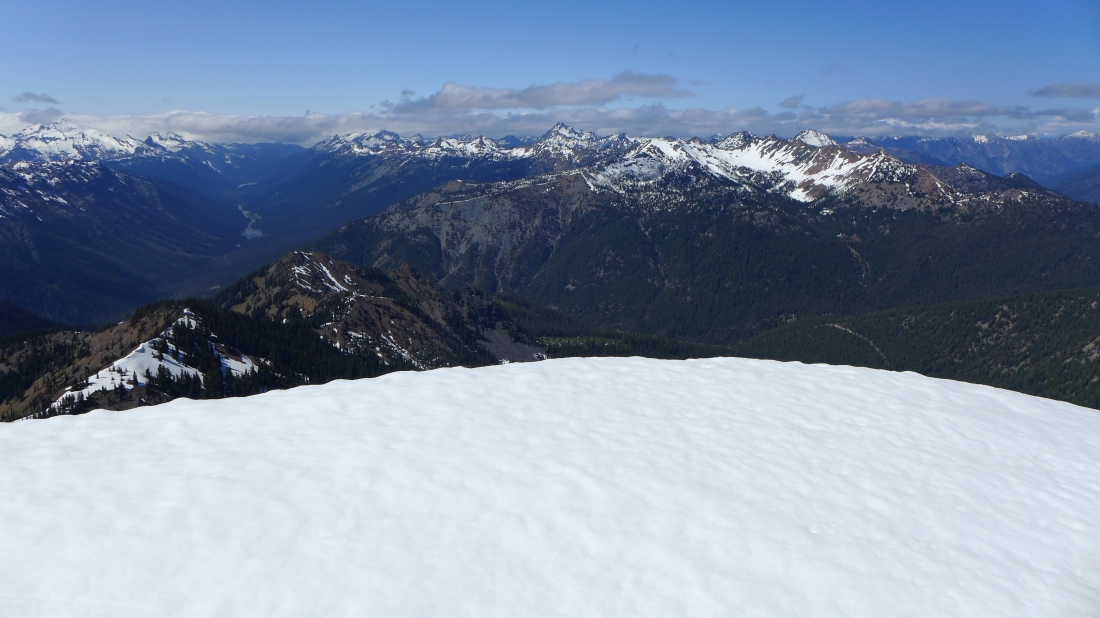
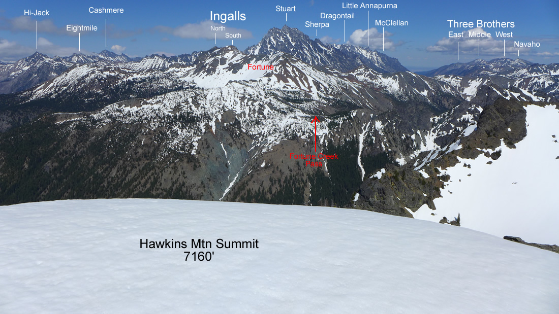
Looking north from the Hawkins Mountain summit.
|
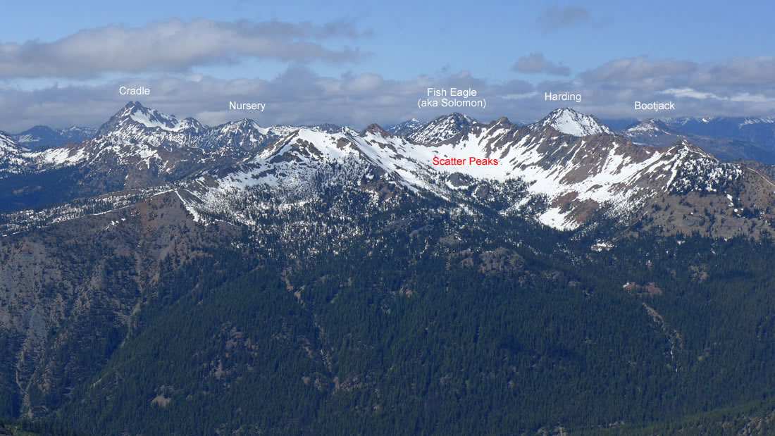
Peak identification looking north from the Hawkins Mountain summit.
|
Group shot on the Hawkins Mountain summit... tomman, BarbE and ragman.
|
Leaving the summit we made a downward traverse underneath the false summit on our way back to Hawkins' south ridge... where we were able to use the snow for some fun boot-skiing back down to ~6200 feet.
|
Heading for the barn now... and looking back at our route to the summit.
|
Almost ready to leave the open terrain and enter the trees... the weather is changing... good time to get off of the ridge.
|
