Esmeralda Peak (Middle Peak) - 6.1.2016
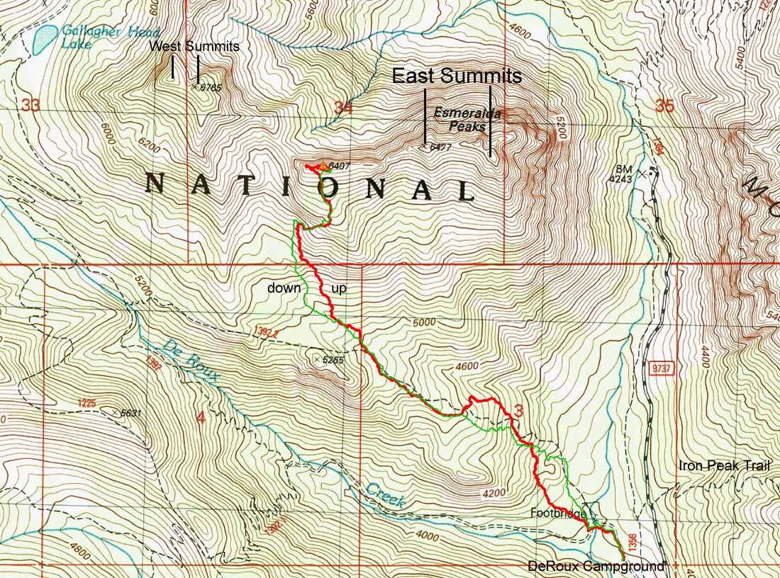
A photo of the GPS track of our scramble to the Middle Peak of Esmeralda Peak... 4.9 miles roundtrip, gaining 2790 feet of elevation.
|
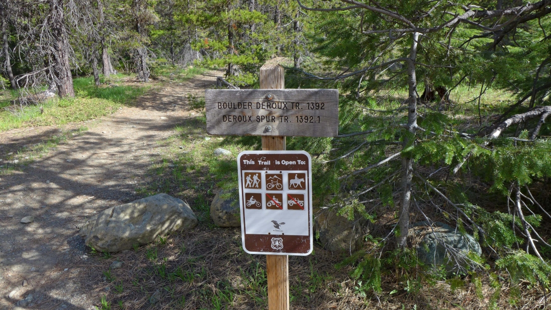
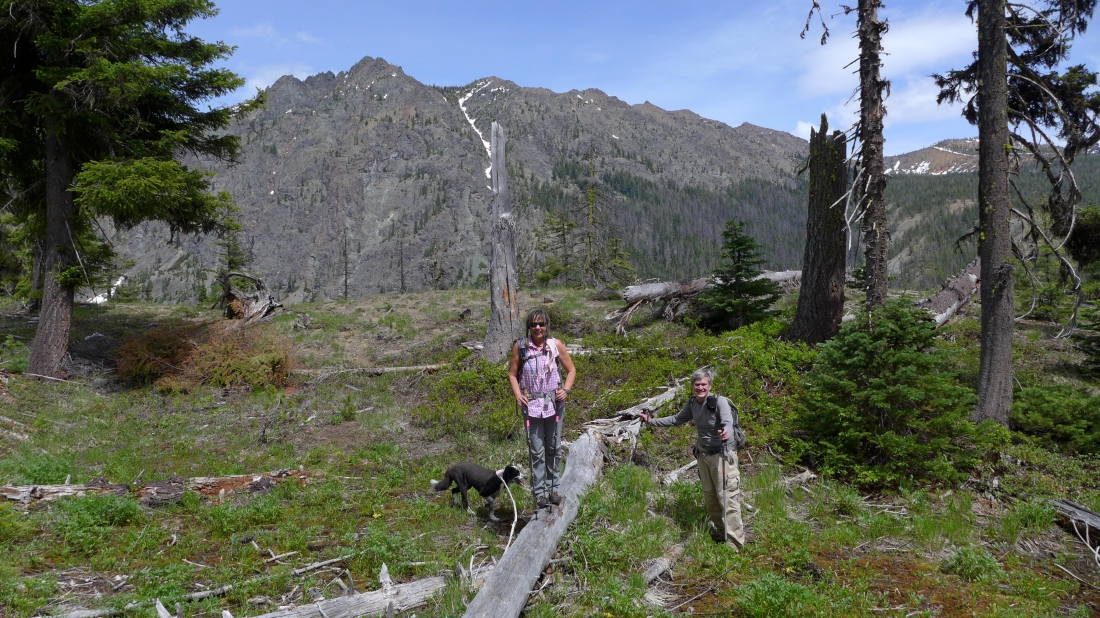
We started at the north end of DeRoux Campground on the Boulder-DeRoux Trail.
|
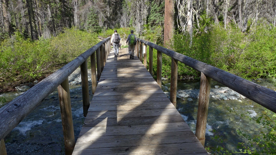
After hiking a short distance, the trail crosses the N. Fork Teanaway River.
|
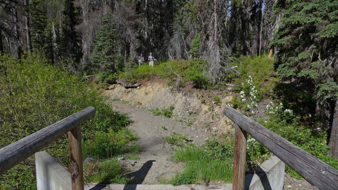
I'm standing at the end of bridge and looking at Snowdog and rodman... they have left the main trail and are on a faint path. We will follow bits and pieces of this faint path up to ~5000 feet.
|
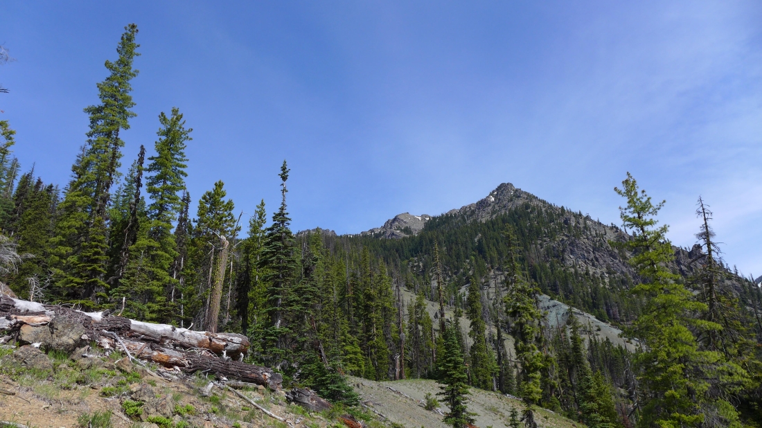
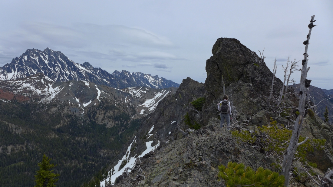
Working our way toward the east summits of Esmeralda Peak.
|
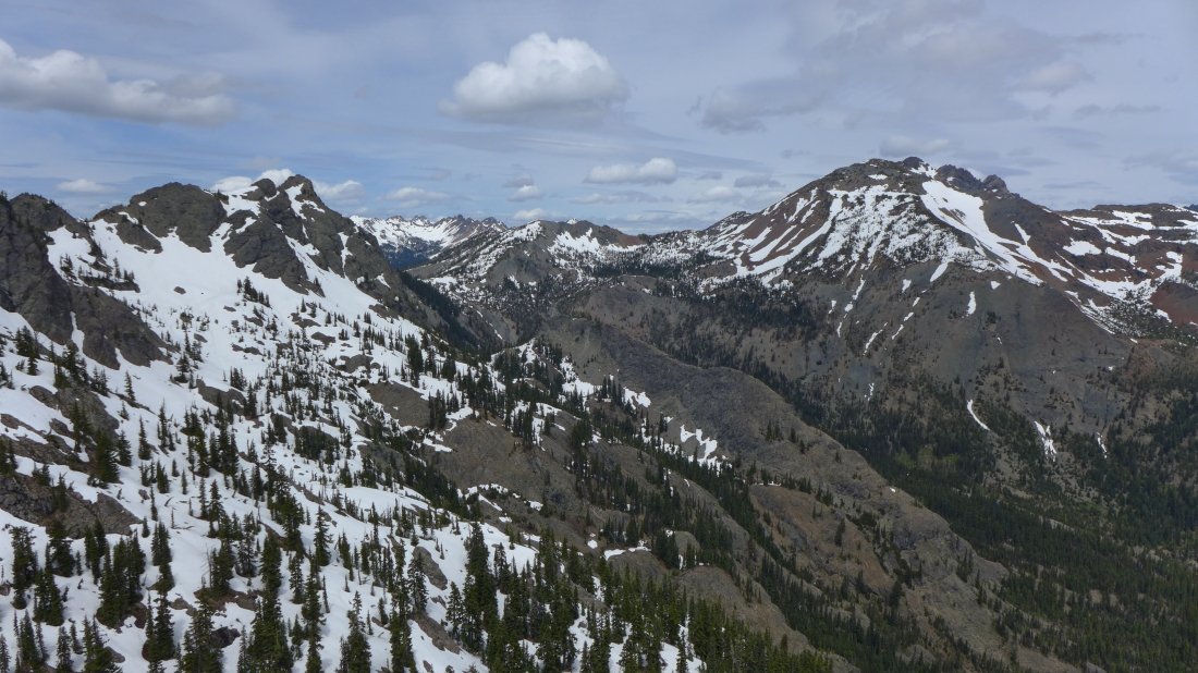
Looking up valley across Longs Pass to Mt. Stuart... some of the Esmeralda Peaks are in the upper left corner.
|
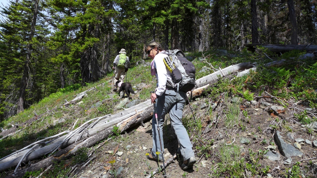
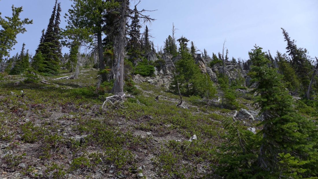
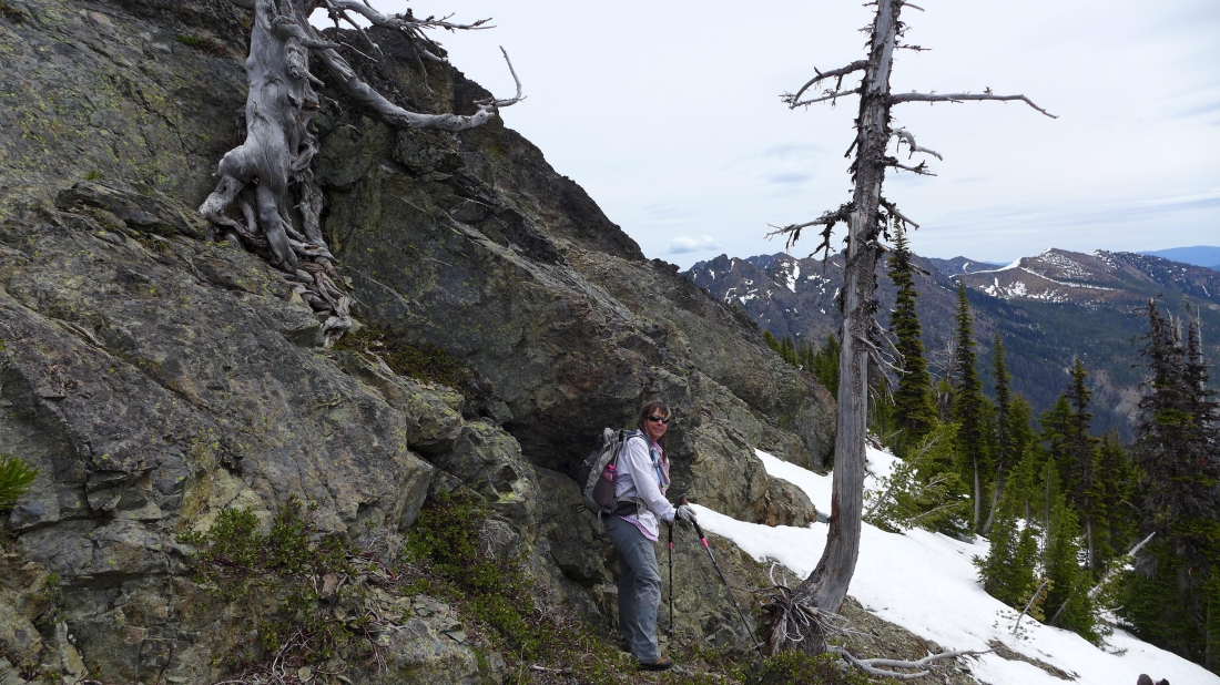
On a good path here... but the path is very faint in places and sometimes impossible to follow... GPS recommended.
|
We have left the faint path... but occasionally we are able to follow game trails.
|
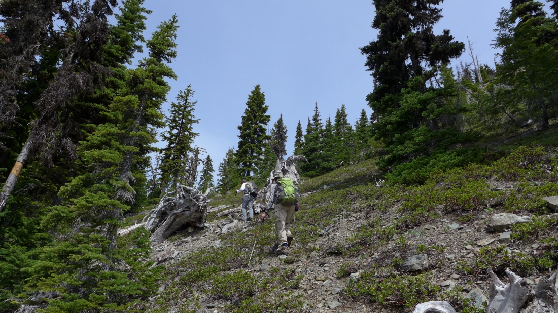
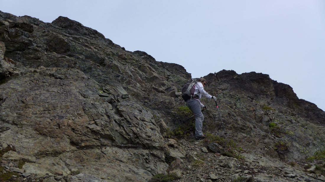
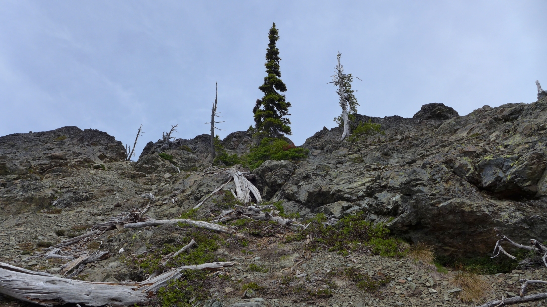
We will eventually find a reasonable route through the steep cliffs.
|
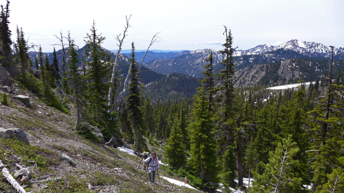
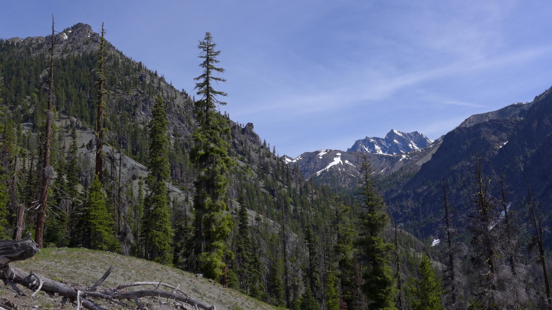
On steeper terrain now... Jolly Mountain and The Louvre in the distance on the right.
|
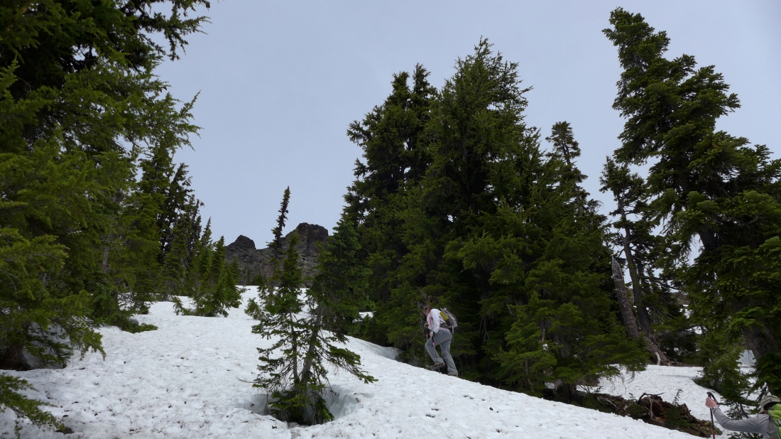
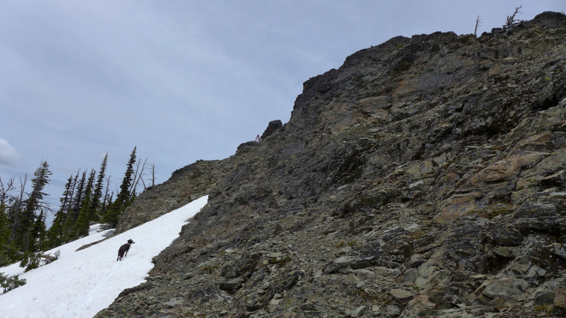
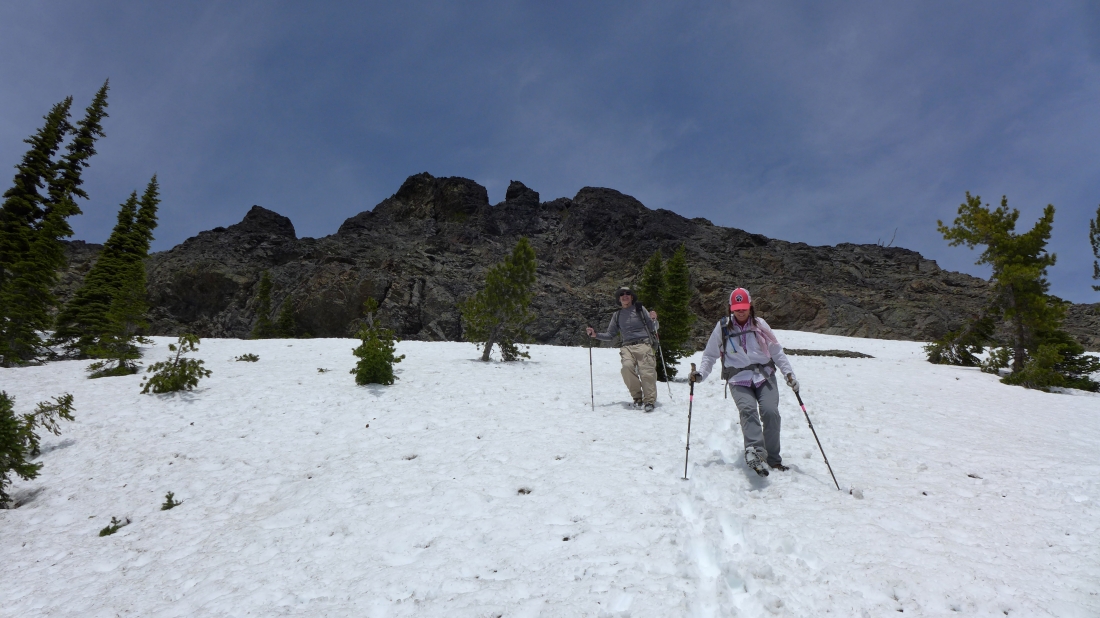
We found snow at ~5800 feet... Snowdog can see the summit block of the Middle Peak above.
|
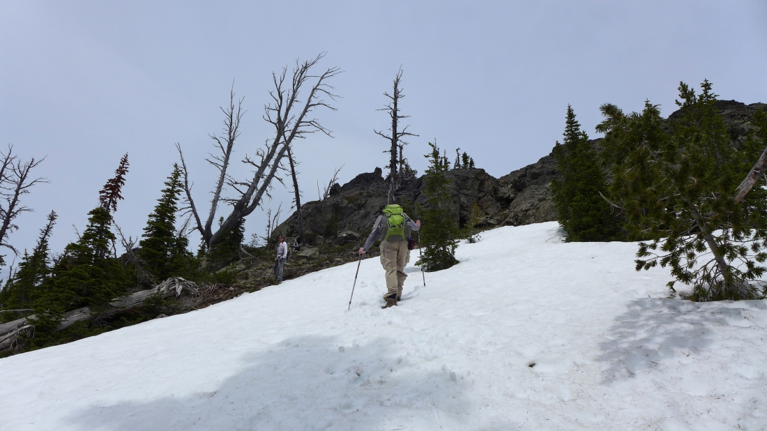
From the road on our drive to the trailhead it looked like the west end of the summit block might be easier than the east end... so we are heading for the ridge on the west side of the summit block.
|
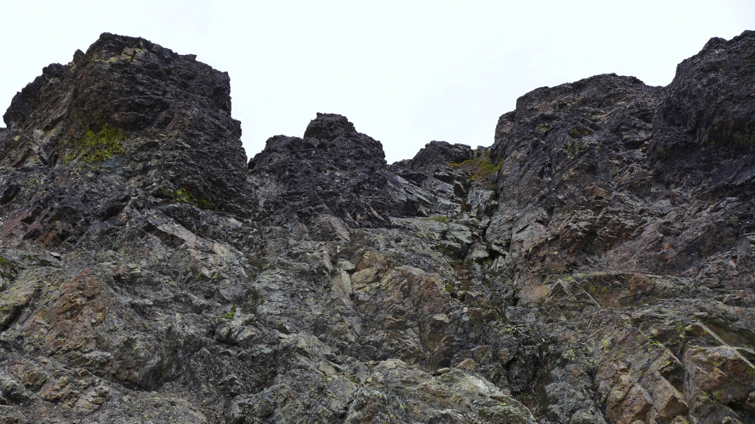
Pretty much a dead end on the ridge on the west end of the summit block... we will give back a little elevation and go back to the south side of the summit block and see if we can find something easier.
|
Working our way over to the south side of the summit block... Iron Peak on the far right.
|
On the south side of the summit block and looking for a good route up to the summit.
|
This is the best route on the south side of the summit block... Class 3/4... I started up it until I hit a Class 4 move... and not wanting to come back down the route, we decided to continue around to the east side of the summit block.
|
Izzy watches Snowdog working her way along the south side of the summit block over to the east side.
|
Hooray... a Class 2 route up to the summit on the far left.
|
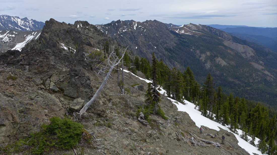
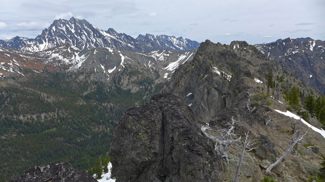
I'm very near the summit... watching Snowdog and rodman coming up... Esmeralda's east summits are in the left foreground... with Teanaway Peak and Iron Peak on the right.
|
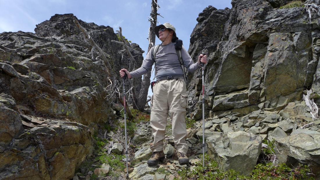
rodman is ready to start the Class 2 section (on the left) that will take us to the summit.
|
On the Middle Peak summit... looking across Ingalls Pass and Longs Pass to the Stuart Range on the left... with the east summits of Esmeralda Peak in the right foreground.
|
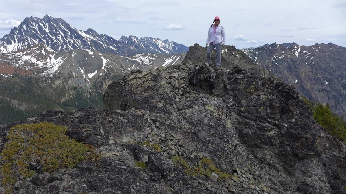
Snowdog on the summit (6407') of the Middle Peak of Esmerald Peak.
|
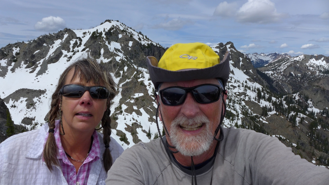
A selfie on the Middle Peak summit... with one of the west summits behind us... Scatter Peaks, The Cradle and Harding Mountain in the distance on the right.
|
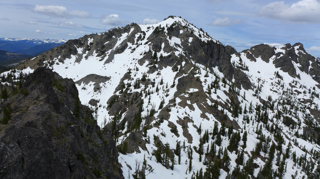
One of Esmeralda's two west summits in the foreground... with the north summit on the far right.
|
The north summit of Esmeralda Peak in the left foreground... and Fortune Peak in front of Ingalls Peak on the right.
|
|
Not a good pano shot... but it gives perspective... standing on Esmeralda's Middle Peak summit... with Esmeralda's west and north summits in the left foreground... and Esmeralda's east summits in the right foreground... and Fortune Peak, Ingalls Peak and the Stuart Range in between.
|
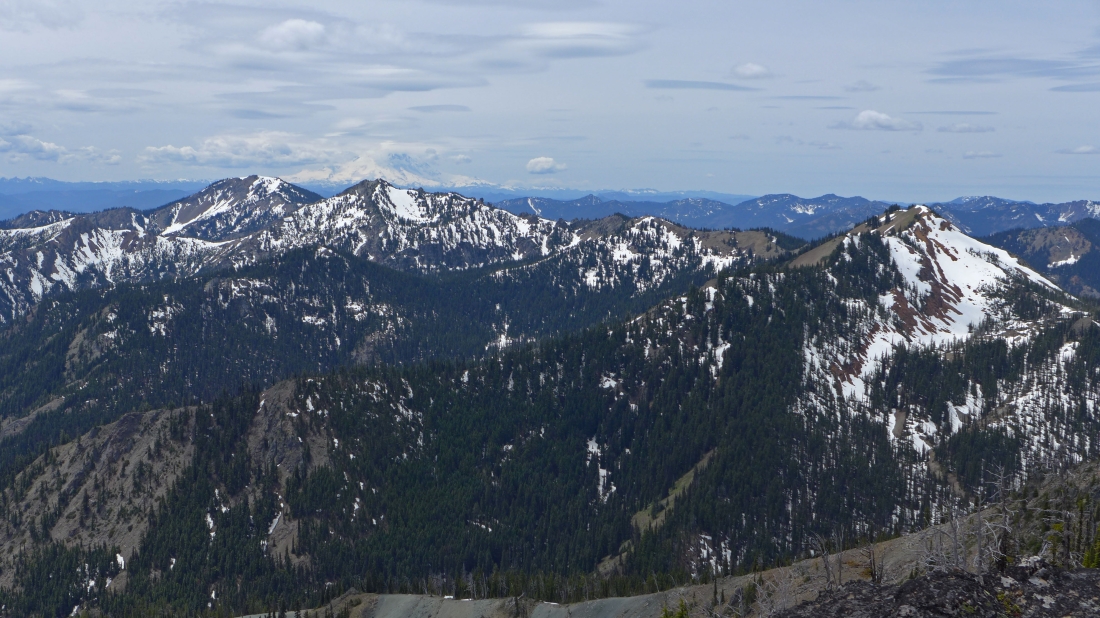
Looking south to Mt. Rainier on the horizon behind Jolly Mountain and The Louvre... with DeRoux Peak in the right foreground.
|
Leaving the summit... we got to do some fun boot-skiing for several hundred feet on the way down.
|
Almost back to the car... Iron Peak behind the tree on the far right... with the ridge leading from Teanaway Peak to Longs Pass behind us.
|
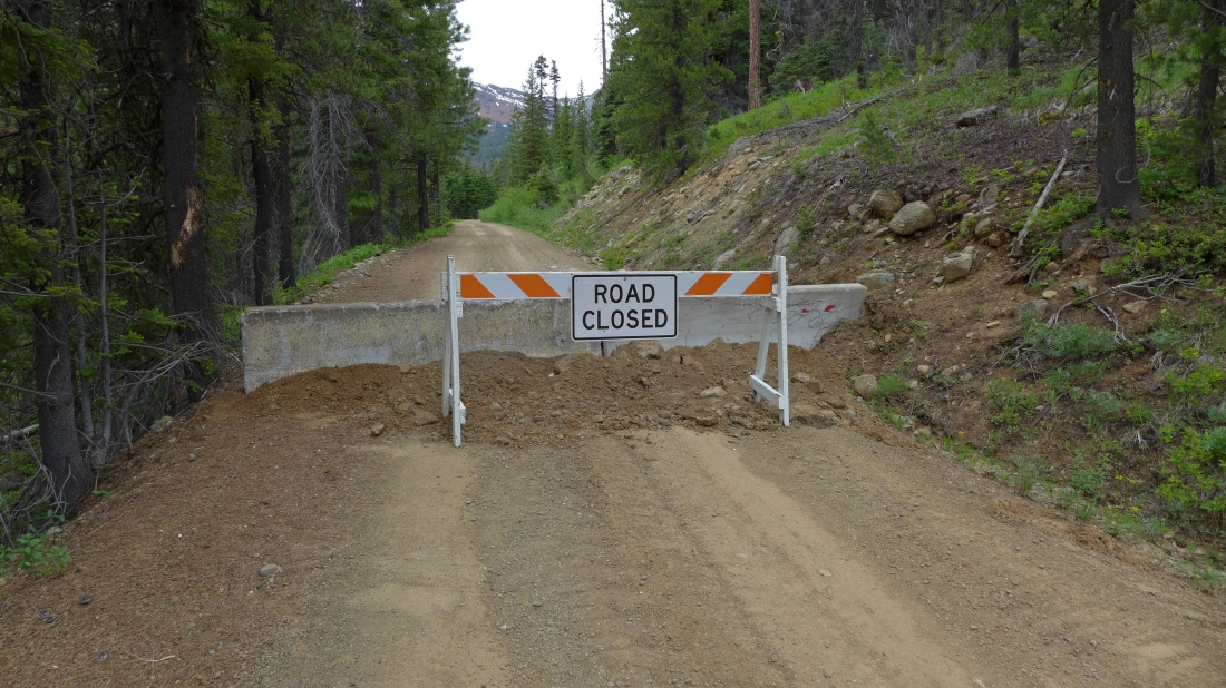
When we got back to the car we decided to see if we could drive to the end of the N. Fork Teanaway River Road... we were able to drive it for several hundred feet beyond the Iron Peak Trailhead.
|
