Silver Peak - 8.15.2016
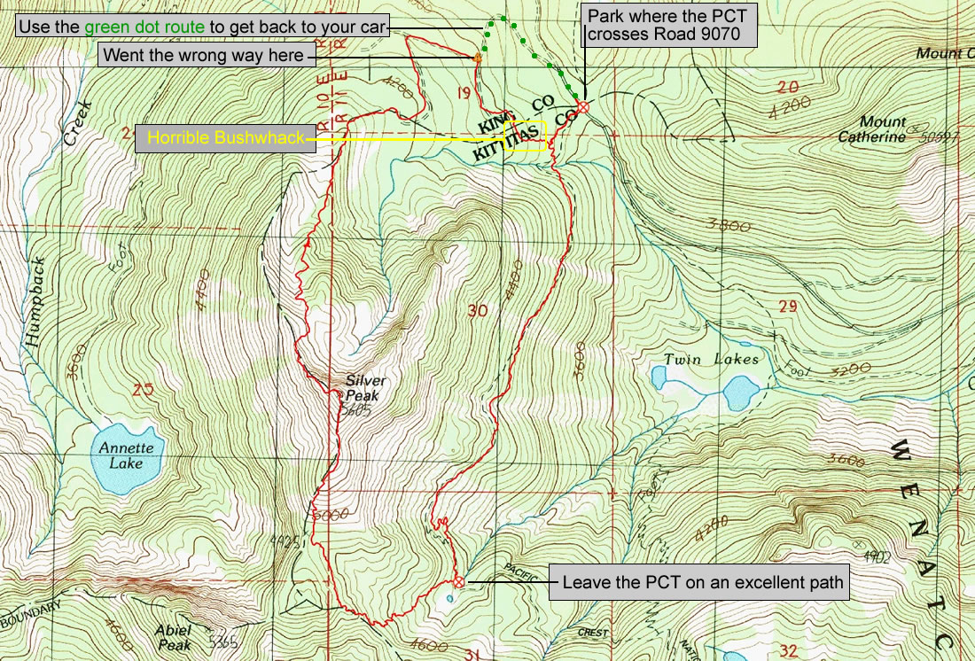
A photo of the GPS track of our loop trip to Silver Peak... 5.5 miles roundtrip, gaining 1990 feet of elevation. Note where we made a wrong turn near the end of our trip... and the route you should take to avoid the horrible bushwhack.
|
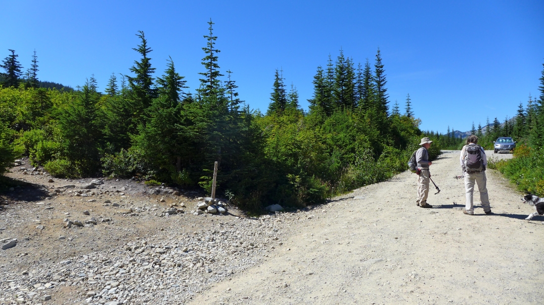
Starting (~3820') our hike where FS-9070 crosses the Pacific Crest Trail... in this photo the PCT sign is missing... but there is a sign just out of frame on the right.
|
After hiking the PCT for ~2 miles there is an unsigned (though obvious) path going to the hiker's right that will take you to Silver Peak.
|
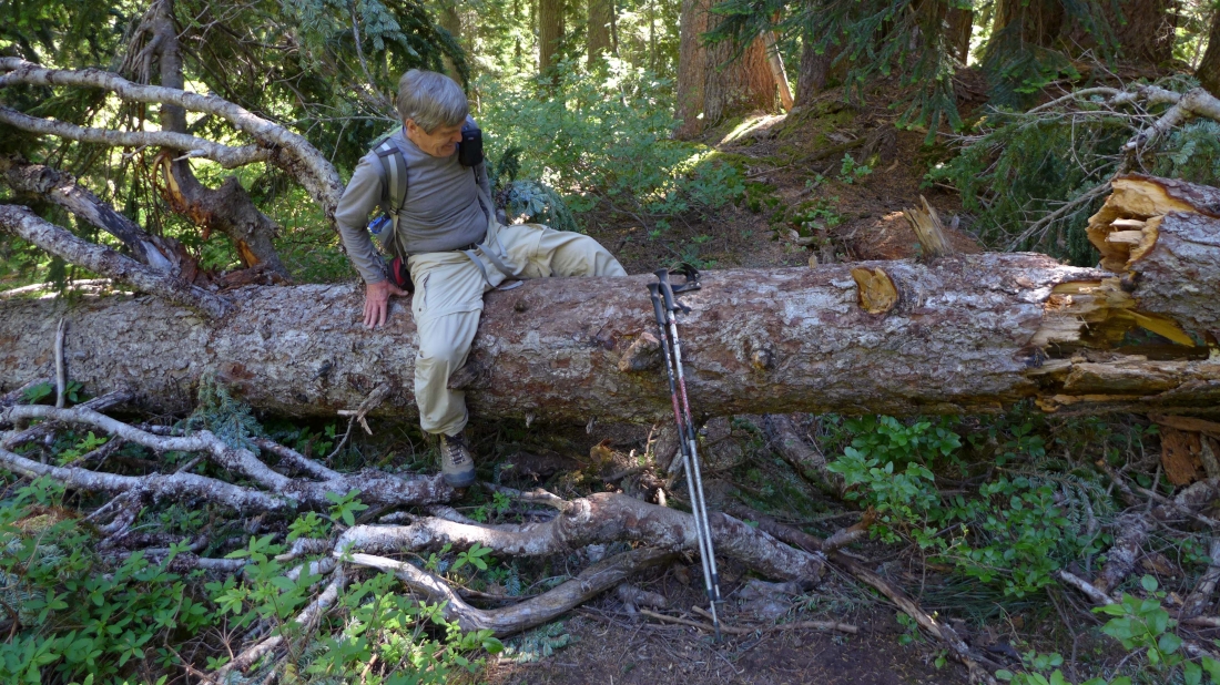
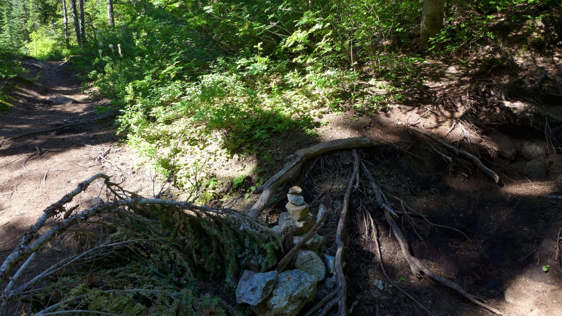
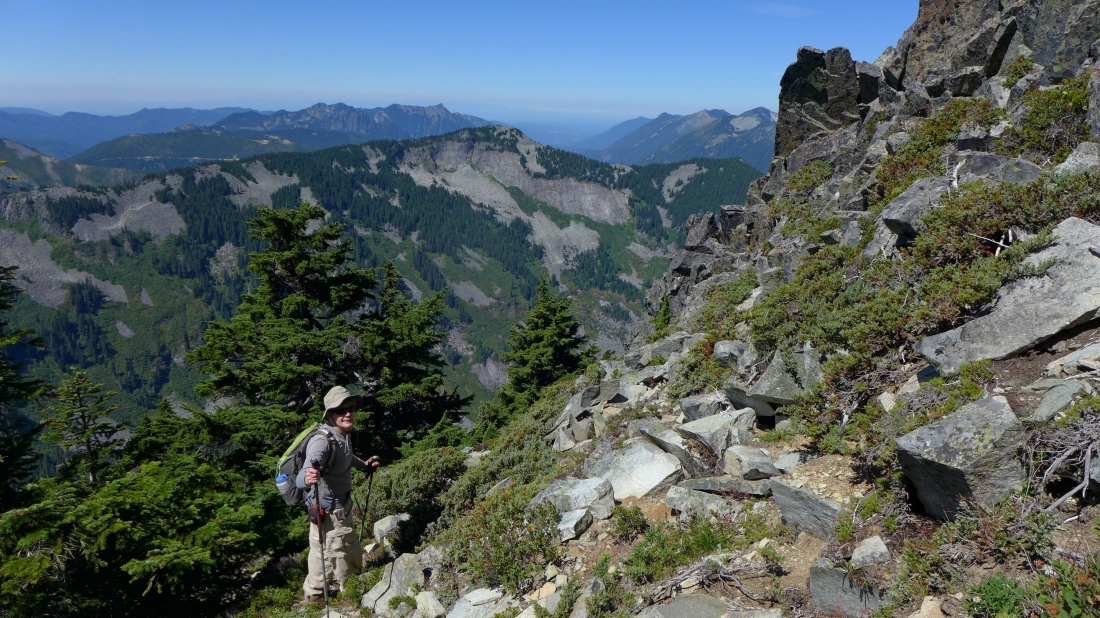
A few down trees on the path leading to Silver Peak... but easy to negotiate.
|
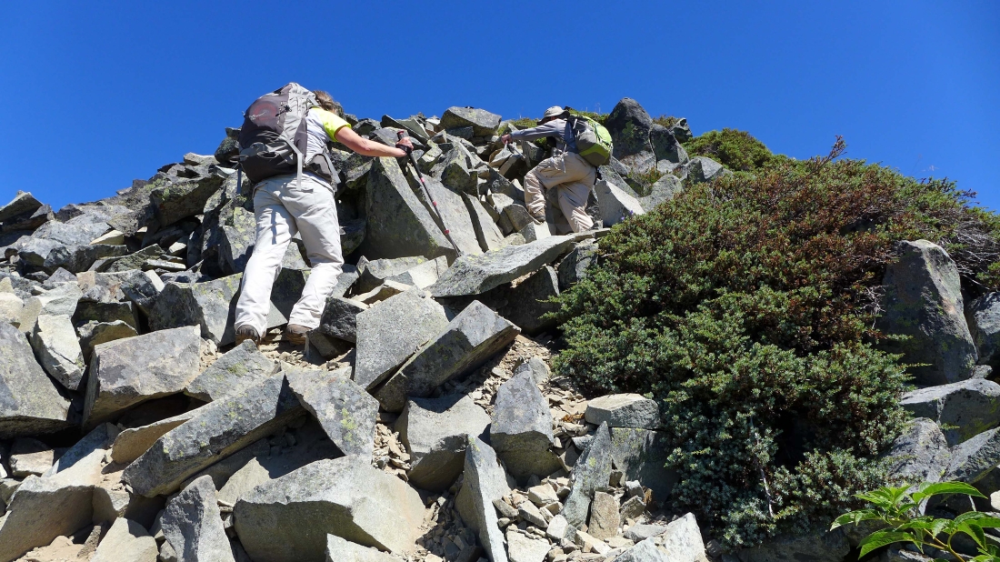
A bit of Class 2 terrain.
|
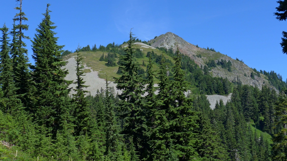
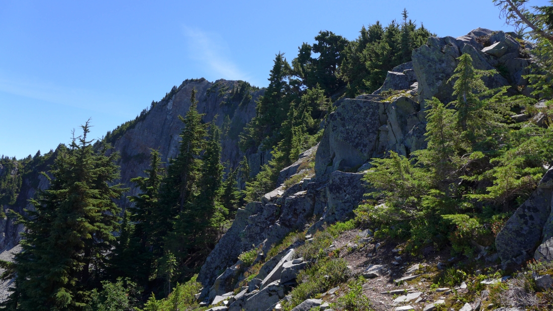
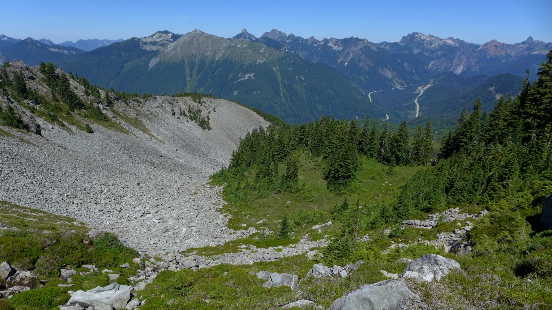
Our first good view of Silver Peak.
|
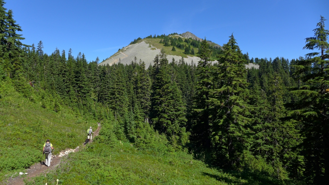
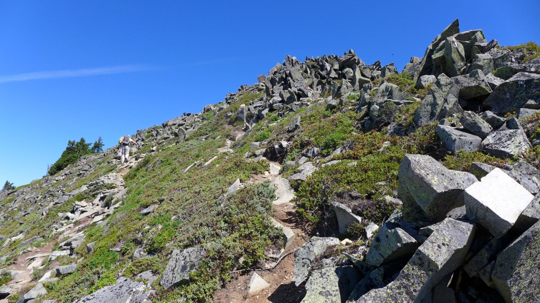
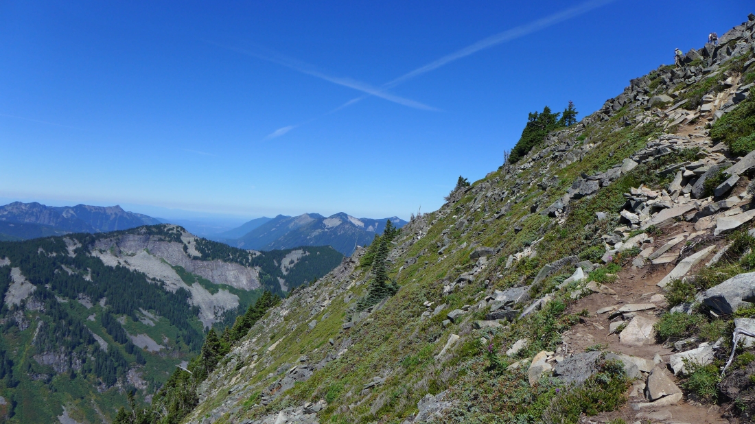
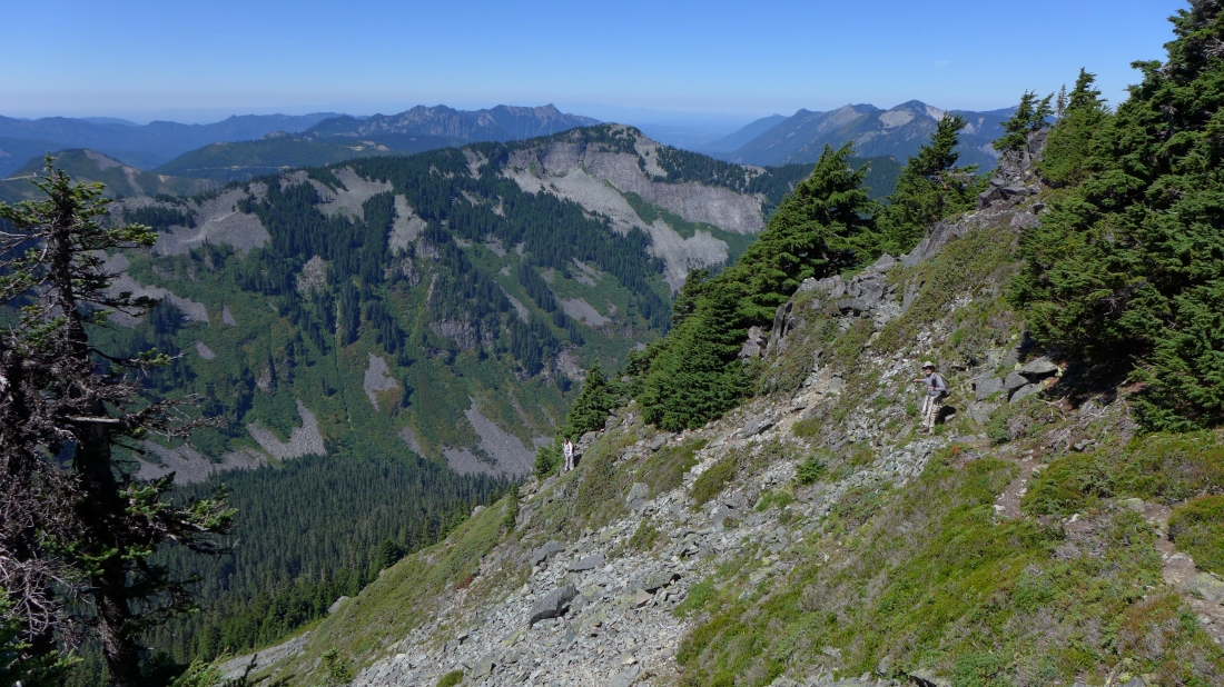
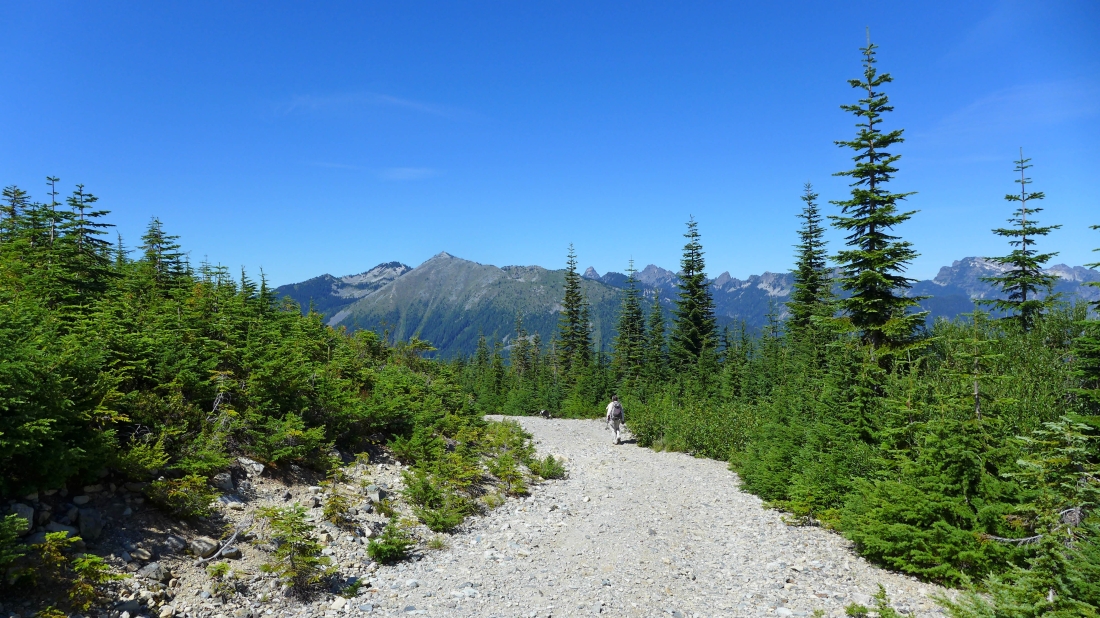
The path leading to Silver Peak looks more like a trail than a path.
|

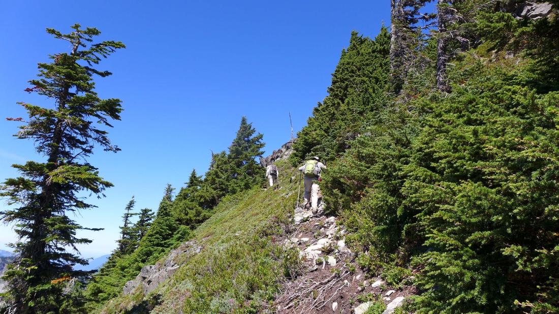
On the switchbacks leading up to the Silver Peak summit.
|
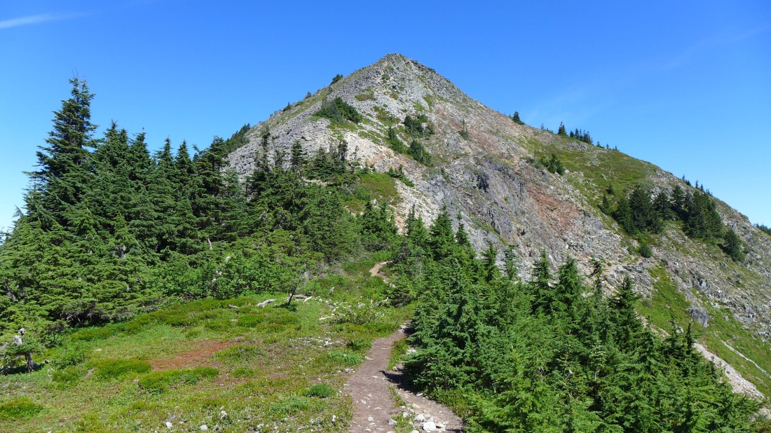
Looking at the last 500 feet of elevation gain to reach the summit.
|
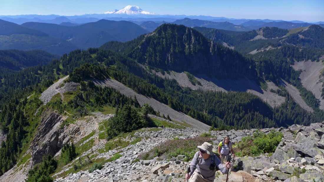
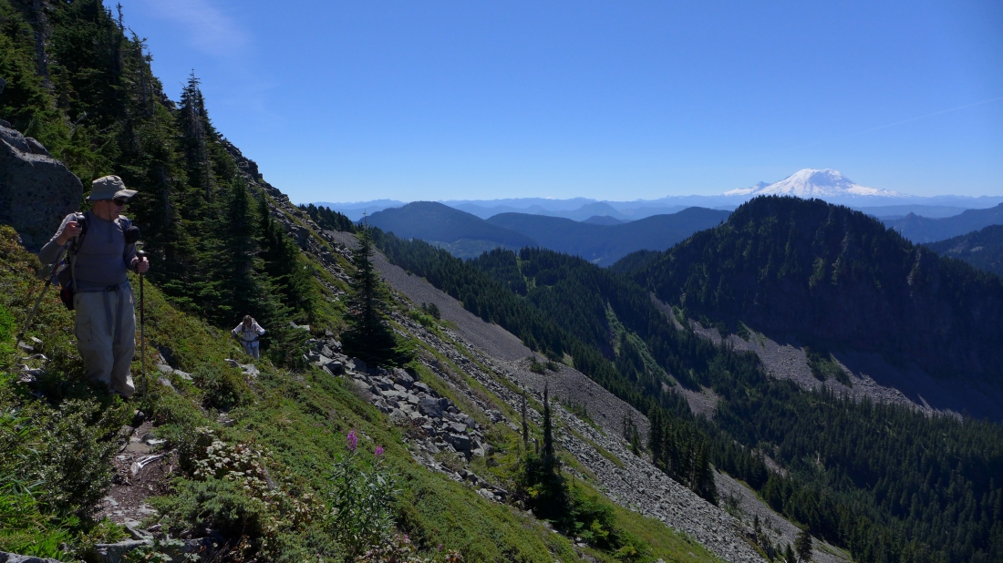
Still gaining elevation... looking back across Abiel Peak to Mt. Rainier on the horizon.
|
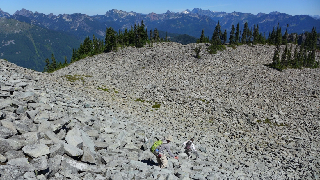
Still on a reasonably good path as we near the false summit.
|
Still on a good path... traversing underneath the false summit and heading for the true summit.
|
Looking down on Annette Lake... and across Abiel Peak to Mt. Rainier.
|
rodman and Snowdog are on the Silver Peak summit in the upper right corner of the photo... Humpback Mountain in the left foreground.
|
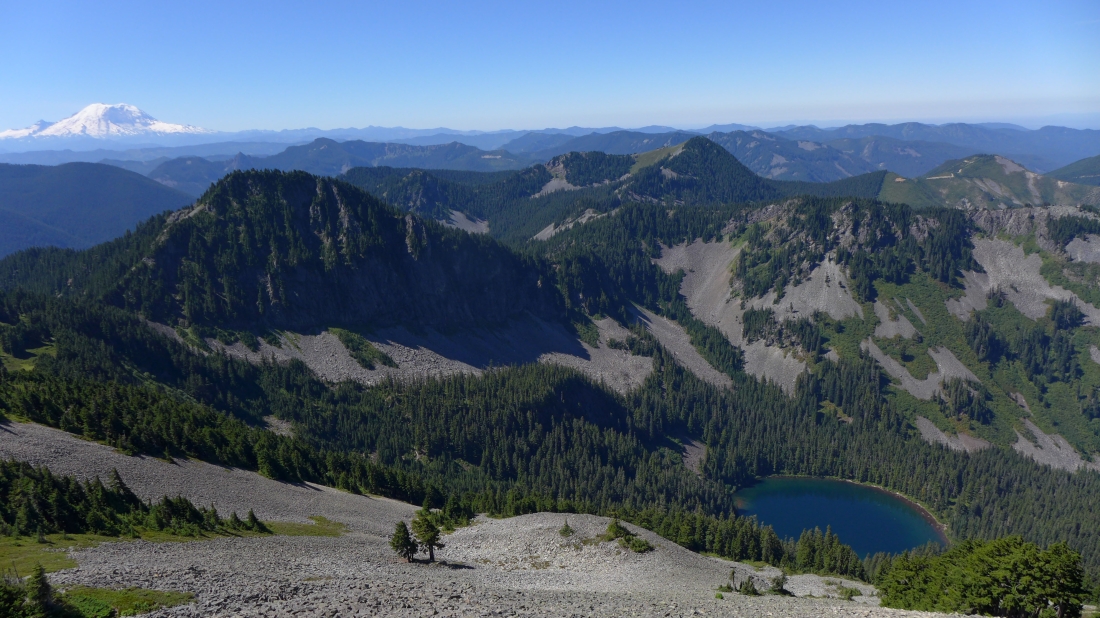
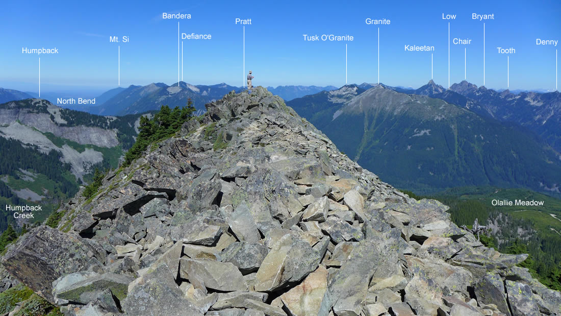
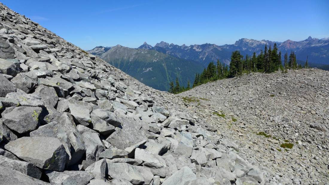
On the Silver Peak summit (5605')... looking south across the false summit to the twin peaks of Tinkham Peak in the foreground... with Keechelus Lake and Lost Lake on the left.
|
Looking west and north from the Silver Peak summit.
|
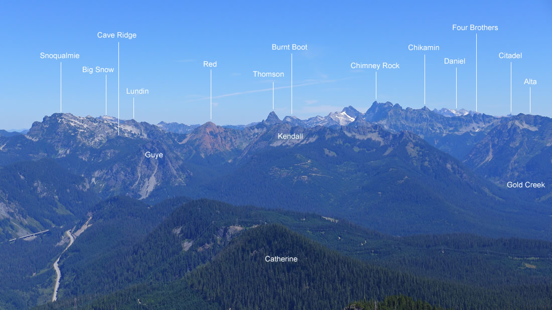
Looking north and NE from the Silver Peak summit.
|
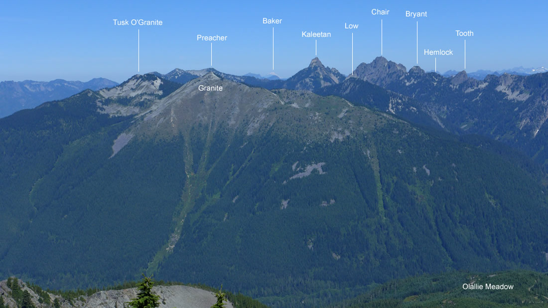
A closeup of some peaks on the north side of the I-90 corridor.
|
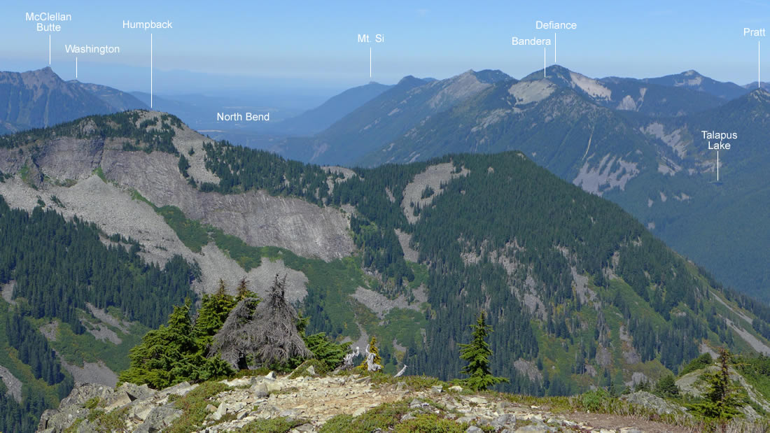
Looking west from the Silver Peak summit.
|
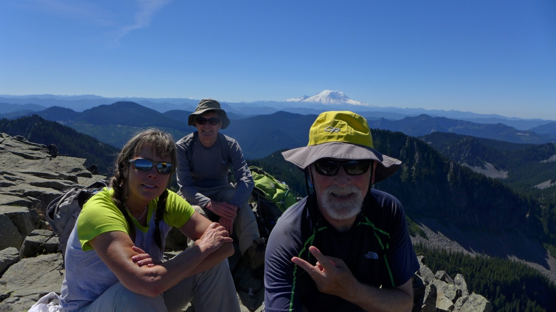
A selfie from the Silver Peak summit... Snowdog, rodman and ragman.
|
Continuing on the south side of Silver's NW ridge.
|
Still on a good path on the south side of Silver's NW ridge.
|
Working our way over to the west side of Silver's NW ridge... still on a good path.
|
Still on the west side of Silver's NW ridge... looking south to Abiel Peak and Mt. Rainier.
|
The good path has led us from the west side of Silver's NW ridge to the east side of the ridge.
|
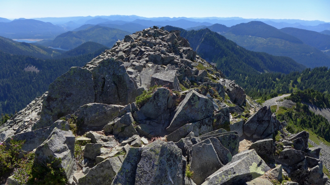
Looking back at the Silver Peak summit.
|
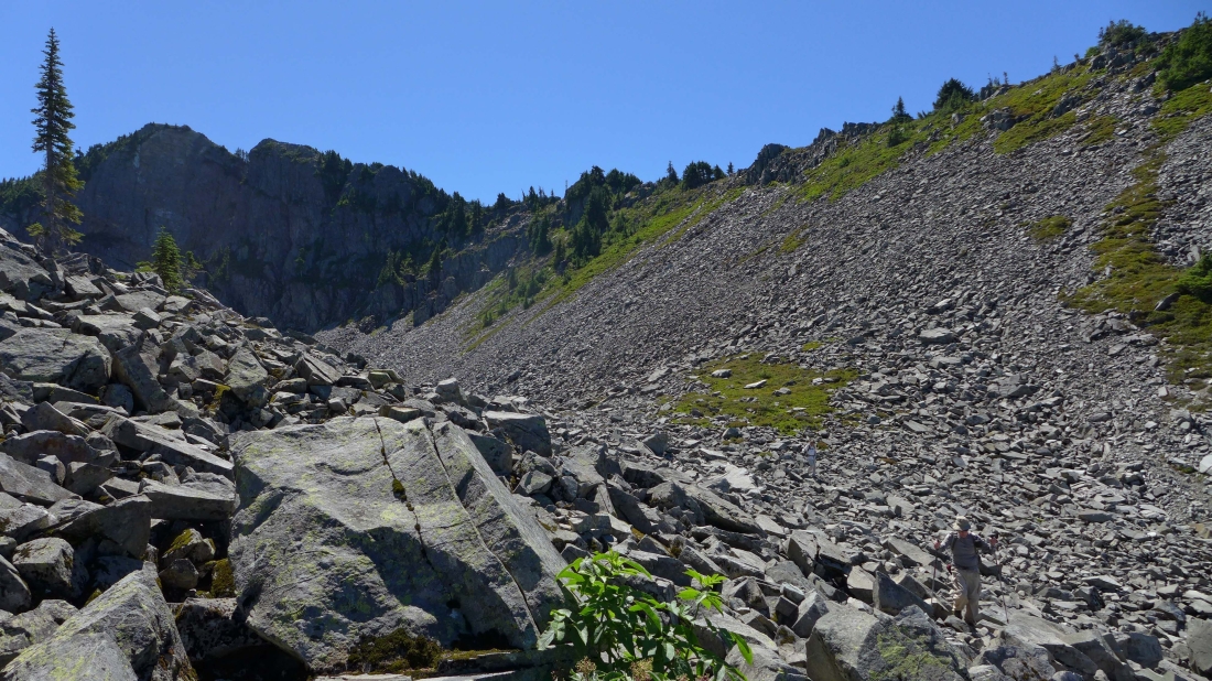
There is no longer a good path... but cairns will lead us over to the 'V' on the left side of the photo.
|
Heading for the 'V' in the center of the photo.
|
Looking back at Silver Peak... Silver's NW ridge is above on the right.
|
From the 'V' we can look down and see a bit of a path.
|
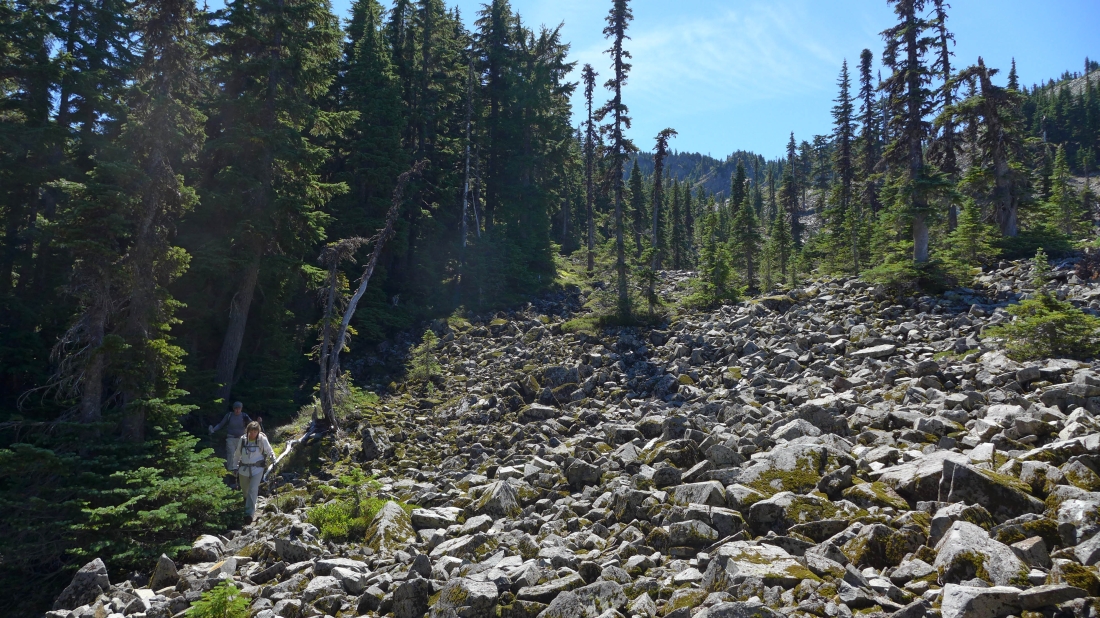
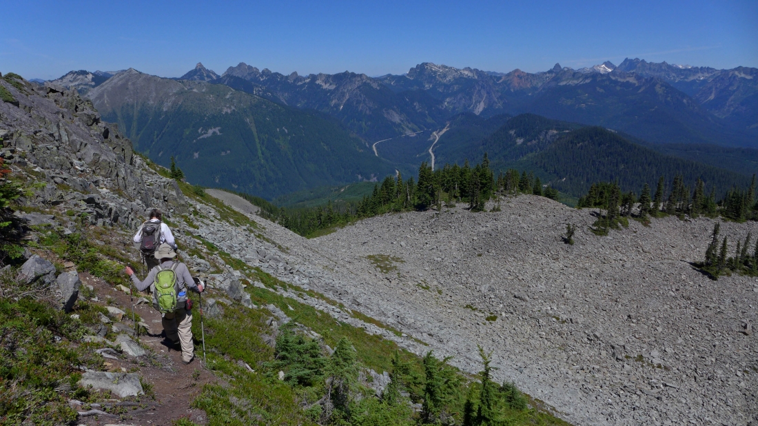
Working our way down toward Olallie Meadow and our car.
|
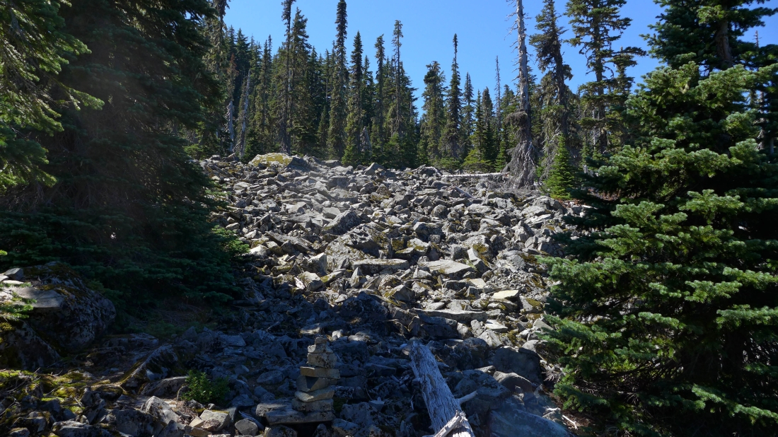
Lots of cairns (like the one at the bottom of the photo) help guide the way.
|
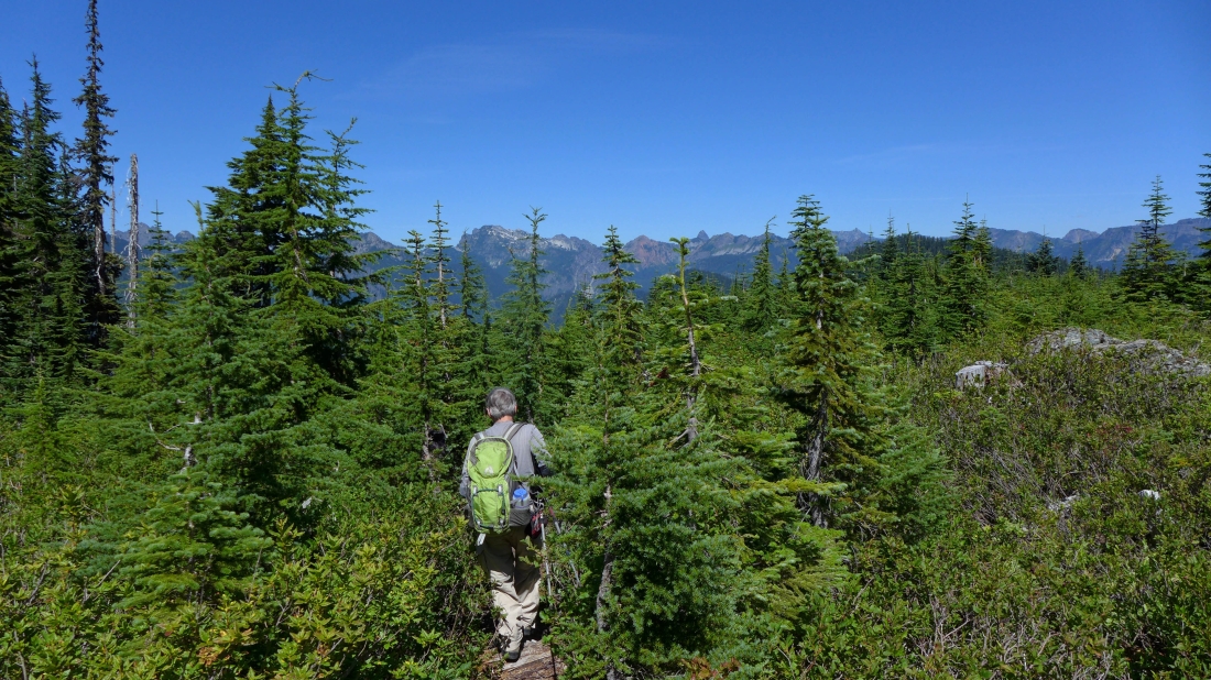
Done with the boulders and onto a good path through the vegetation.
|
We have found one of the road spurs in Olallie Meadow... all is good here, but it won't be long till be take a spur that dead-ends... causing us to deal with a 120 feet of elevation loss to get back to the PCT... leaving a very short hike back to the car.
|
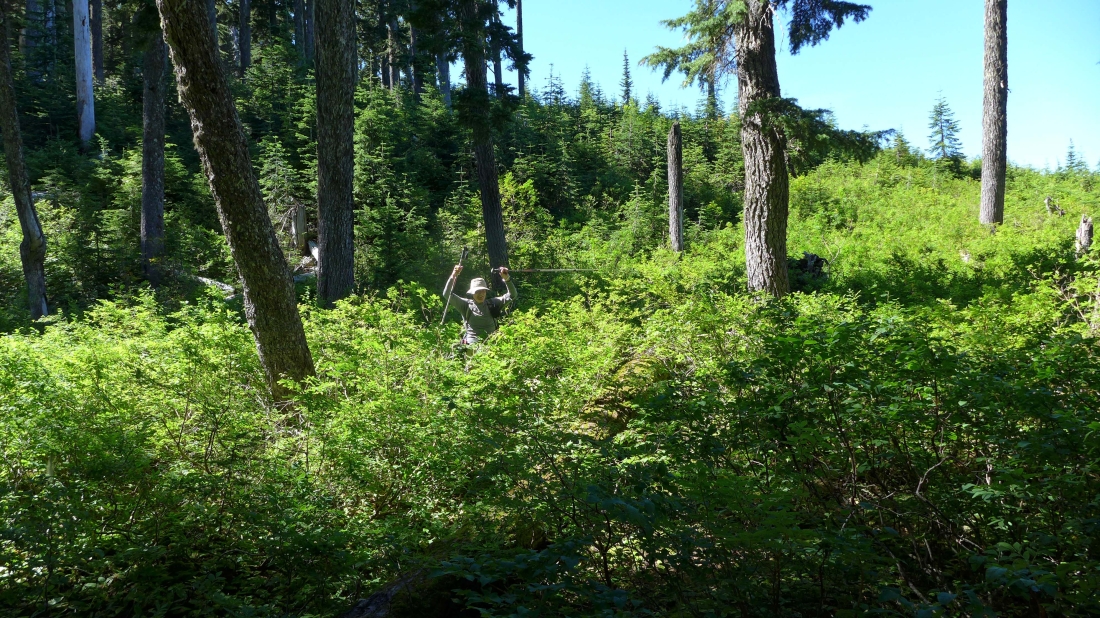
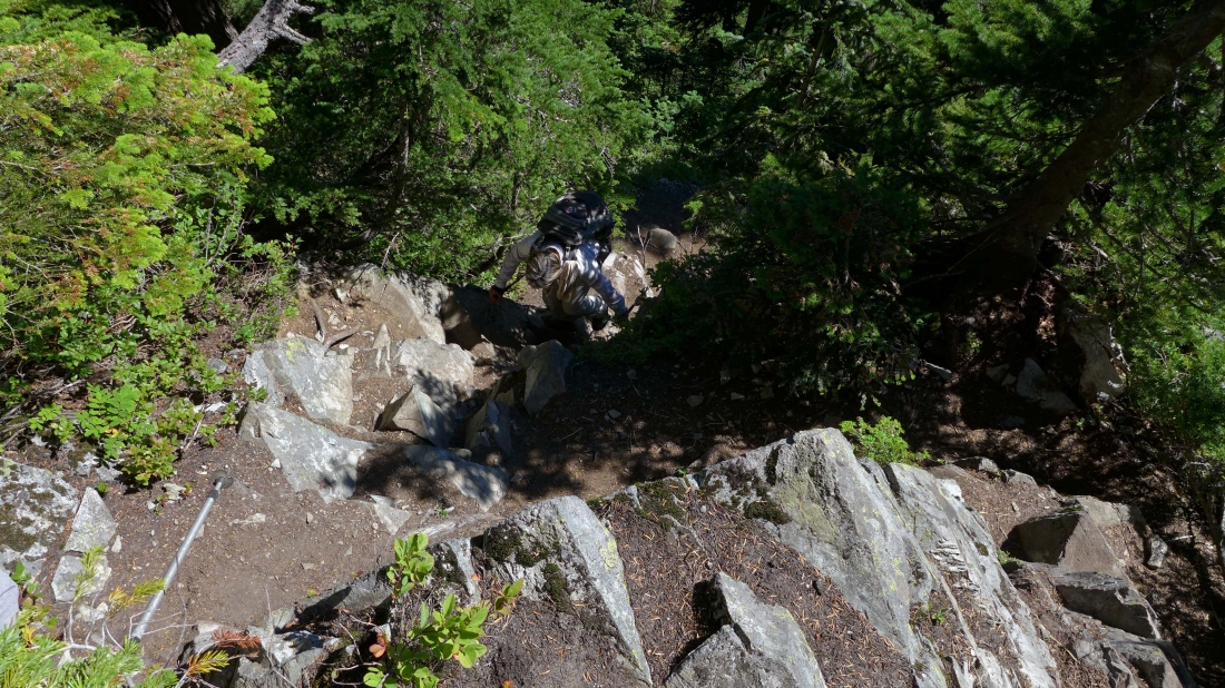
rodman deals with the 120 feet of elevation loss that was necessary to get back to the PCT... pay attention to our GPS track if you want to avoid this bushwhack.
|
