Junggeselle Peak - 8.24.2016

Drive FS-4330 12.4 miles to the end of the road and start hiking on the Deception Pass Trail #1376.
|
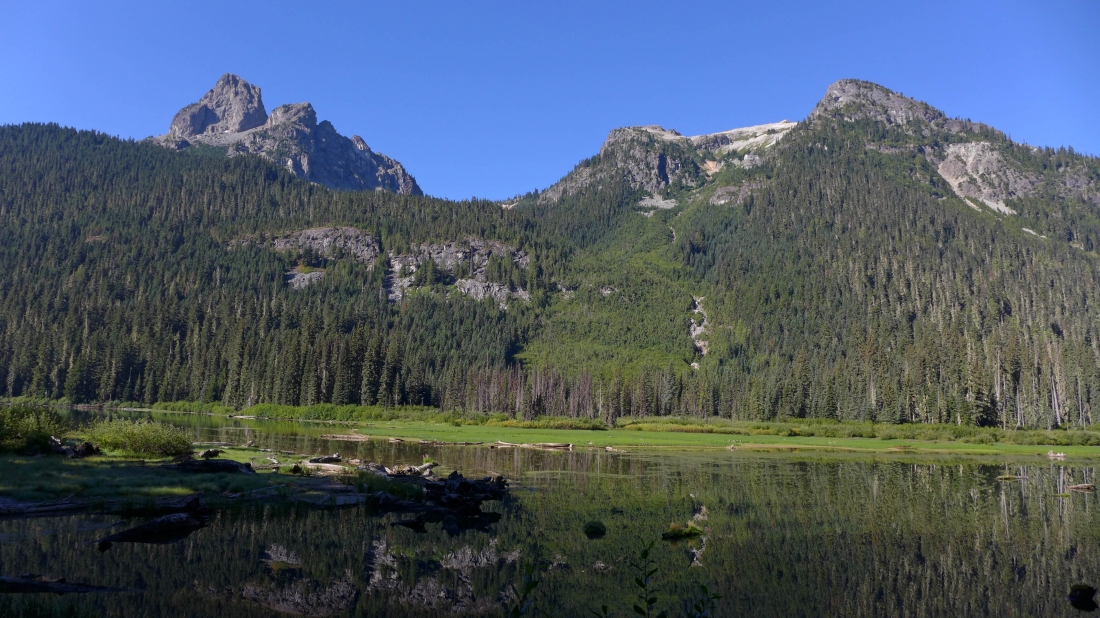
After hiking a couple of fairly flat miles we are looking across Hyas Lake to Cathedral Rock on the left.
|
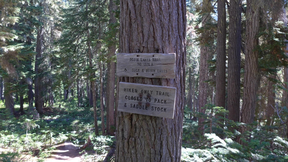
After hiking ~4.5 miles we have reached the junction with the Robin LakesTrail... but we will continue on the Deception Pass Trail.
|
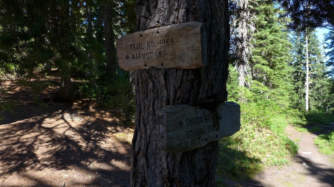
We have reached Deception Pass after hiking for ~5 miles... now we will continue north on the Pacific Crest Trail.
|
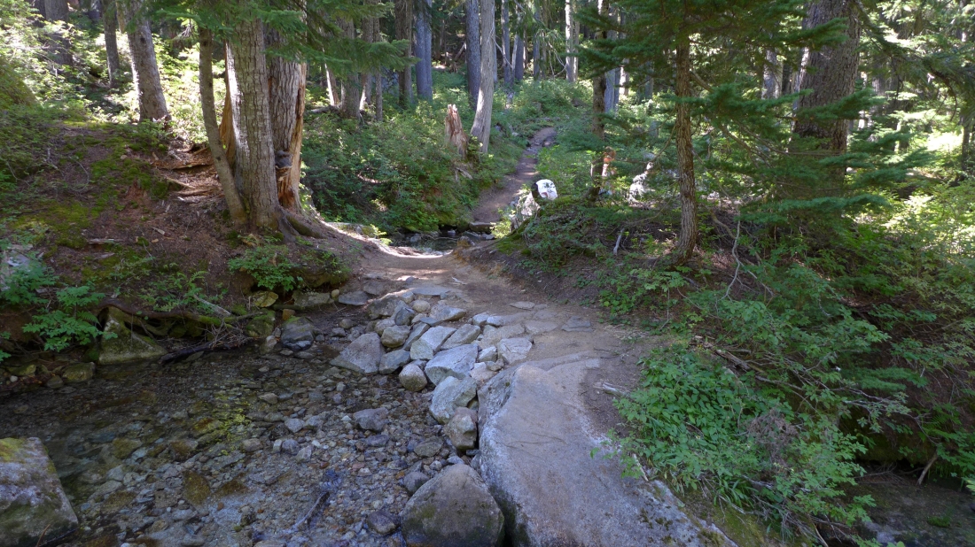
After continuing north from Deception Pass on the PCT for a little more than one mile we reached a very welcomed water source... a source that we would use going up to Junggeselle and again on our way back to the car.
|
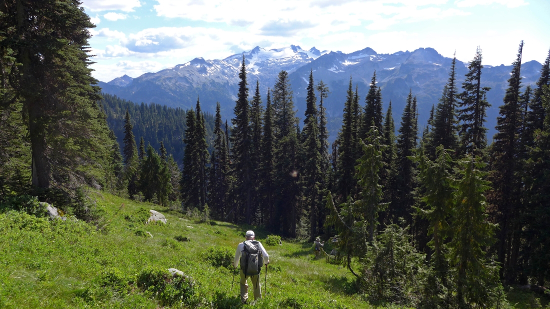
We continued ~.25 miles beyond our water source and headed cross-country at ~4460 feet.
|

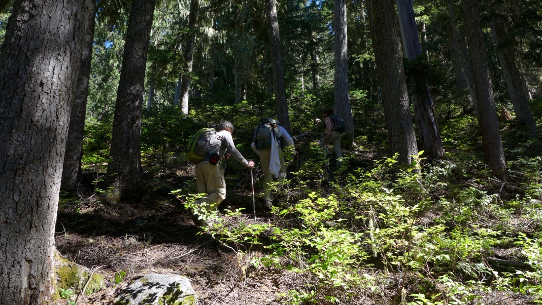
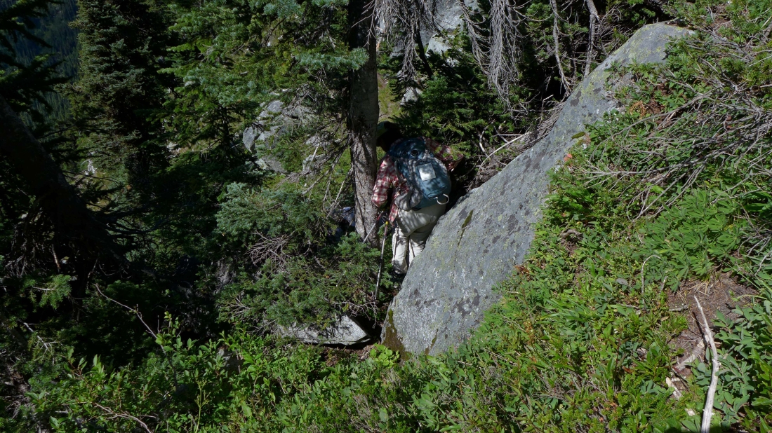
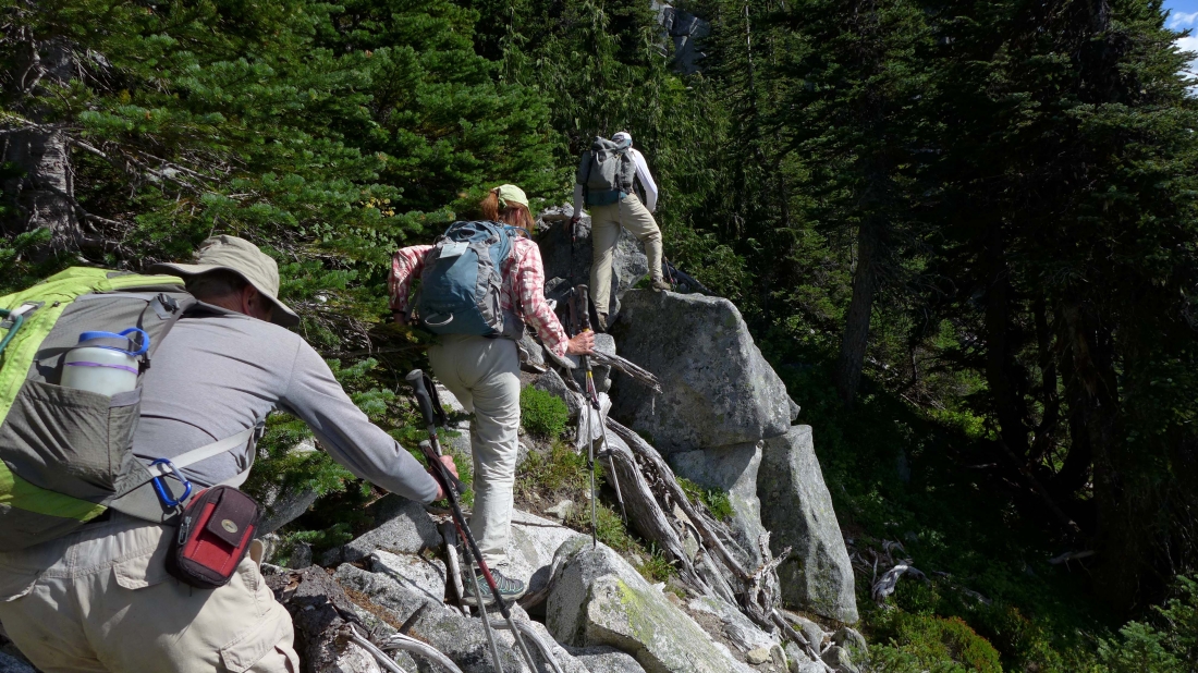
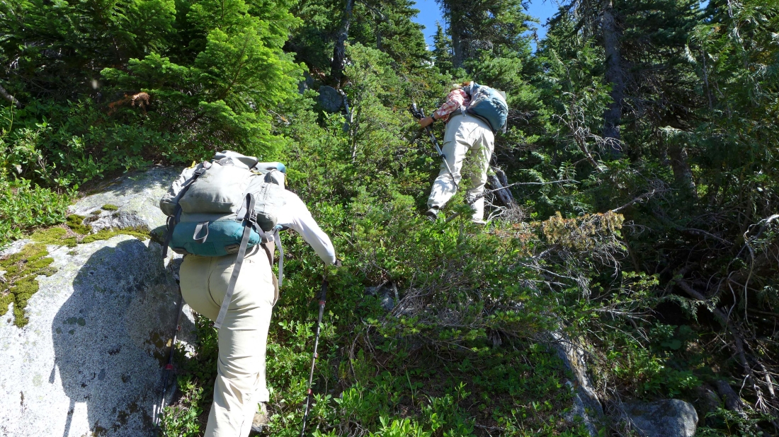
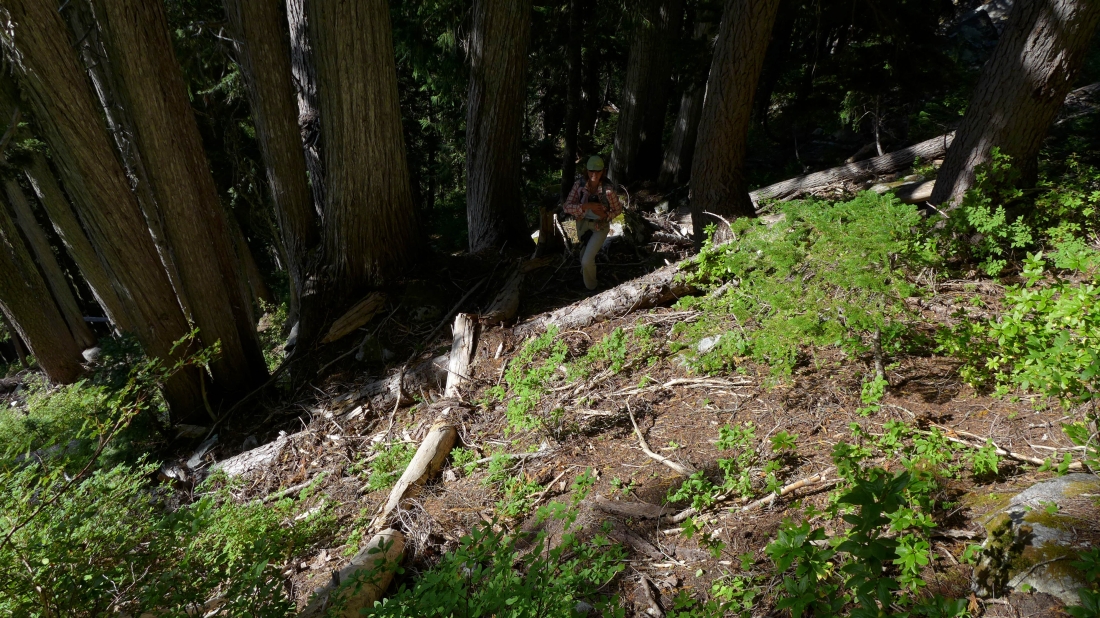
We took full advantage of down trees when available.
|
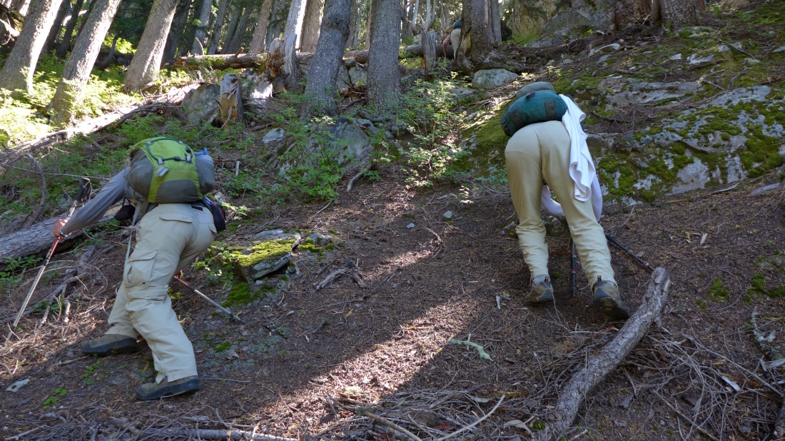
The steepest part of the route from the PCT up to the ridge occurred from 5000 to 5300 feet... difficult to get good footing here... and lots of veggie belays.
|
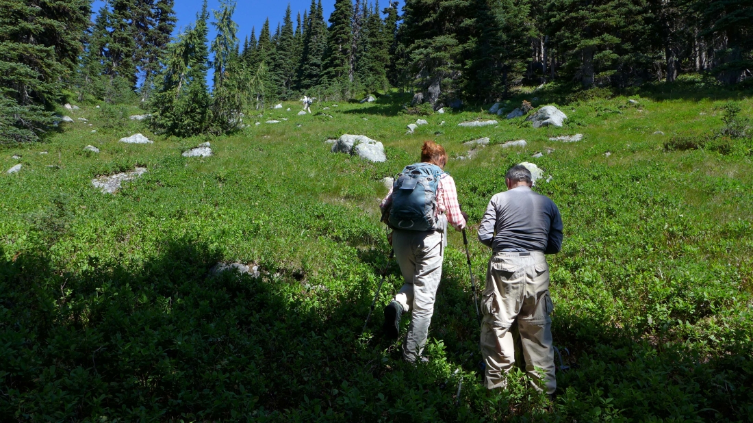
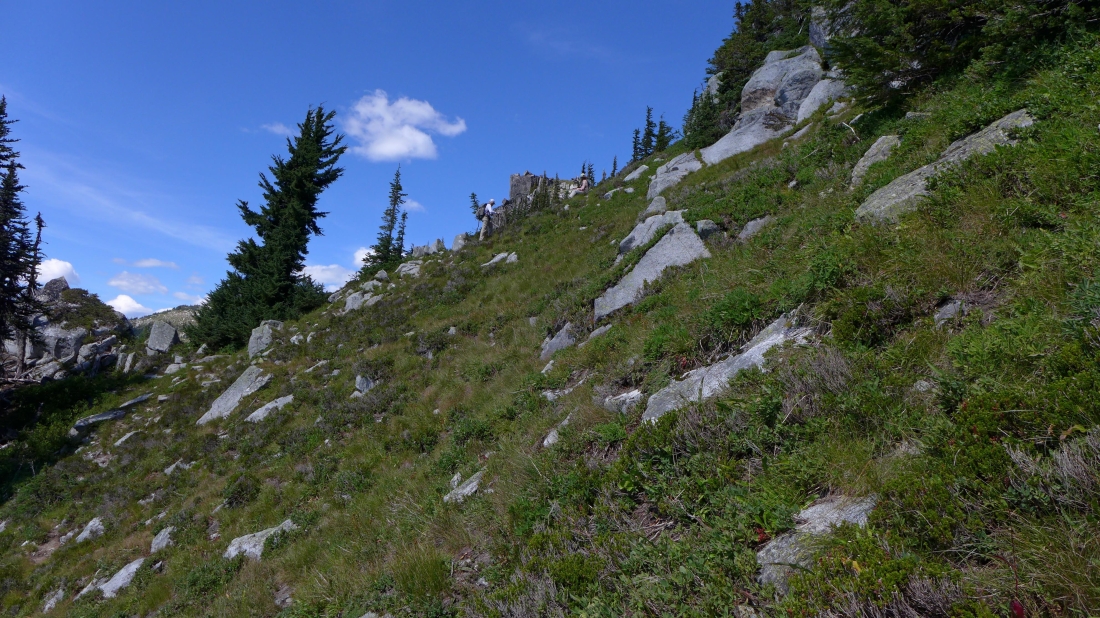
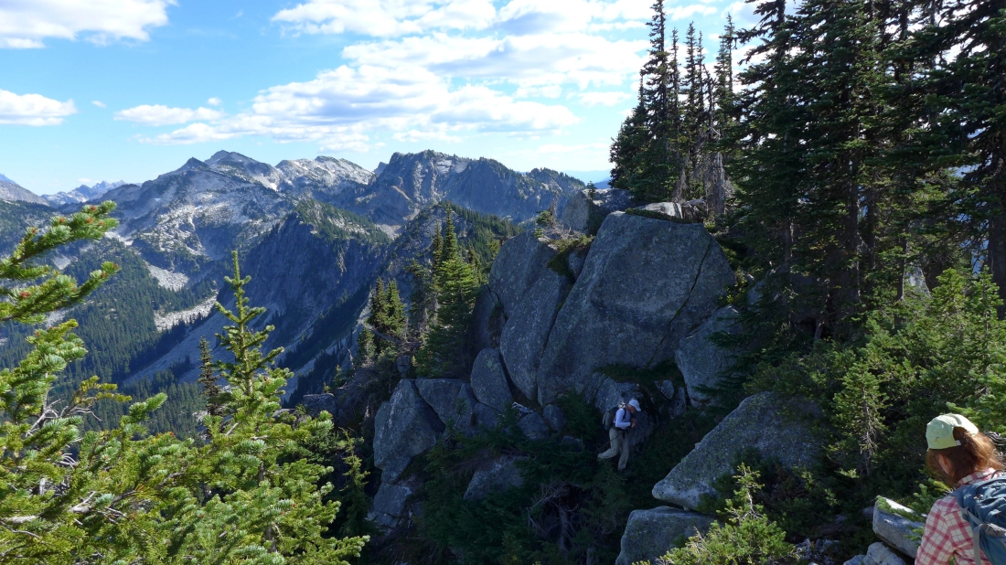
We reached a large meadow at ~6000 feet... and would more or less follow it to the ridge at ~6350 feet.
|
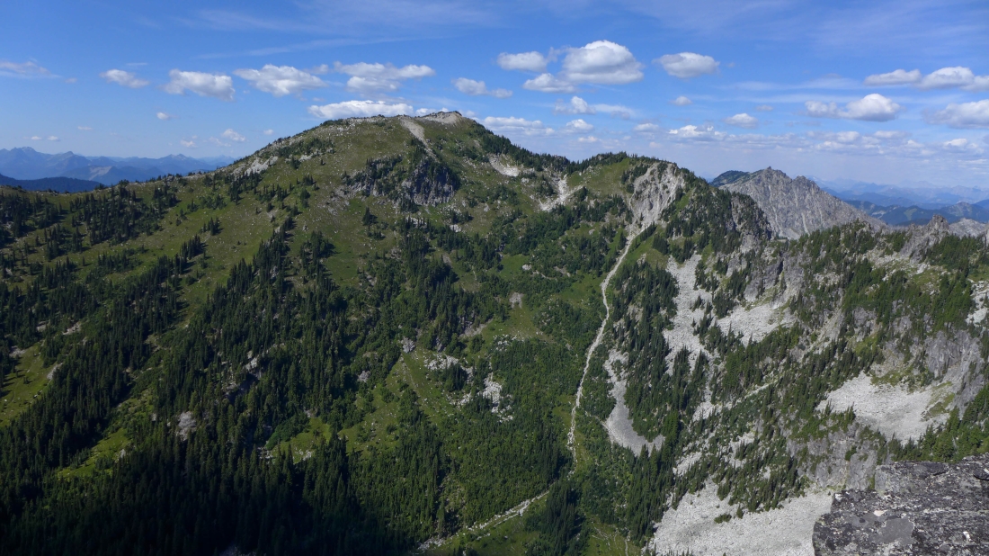
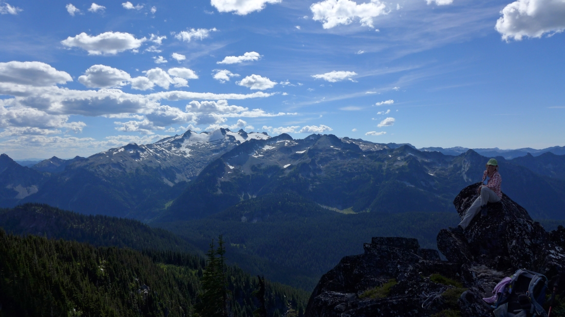
We have reached the south ridge of Junggeselle Peak... that is a false summit in the center of the photo... and we will need to get around it on the west side.
|
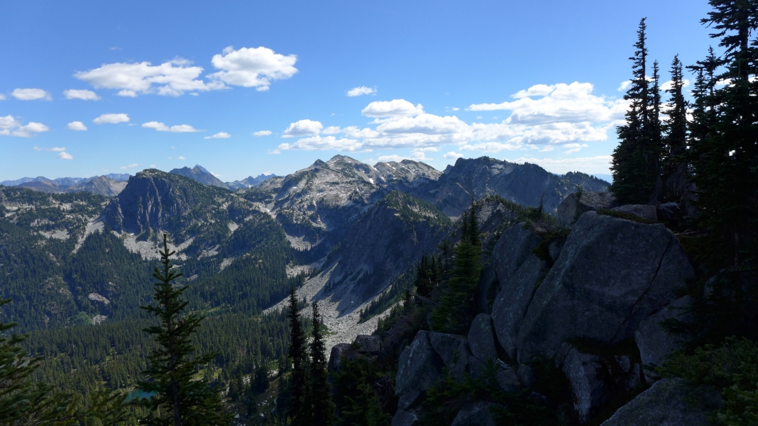
Looking south from the south ridge of Junggeselle... Granite Mountain in the center of the photo.
|
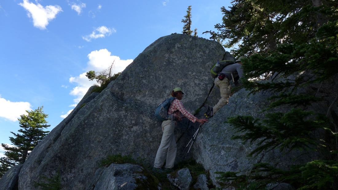
Working our way around the false summit of Junggeselle on the west side... steep and brushy.
|
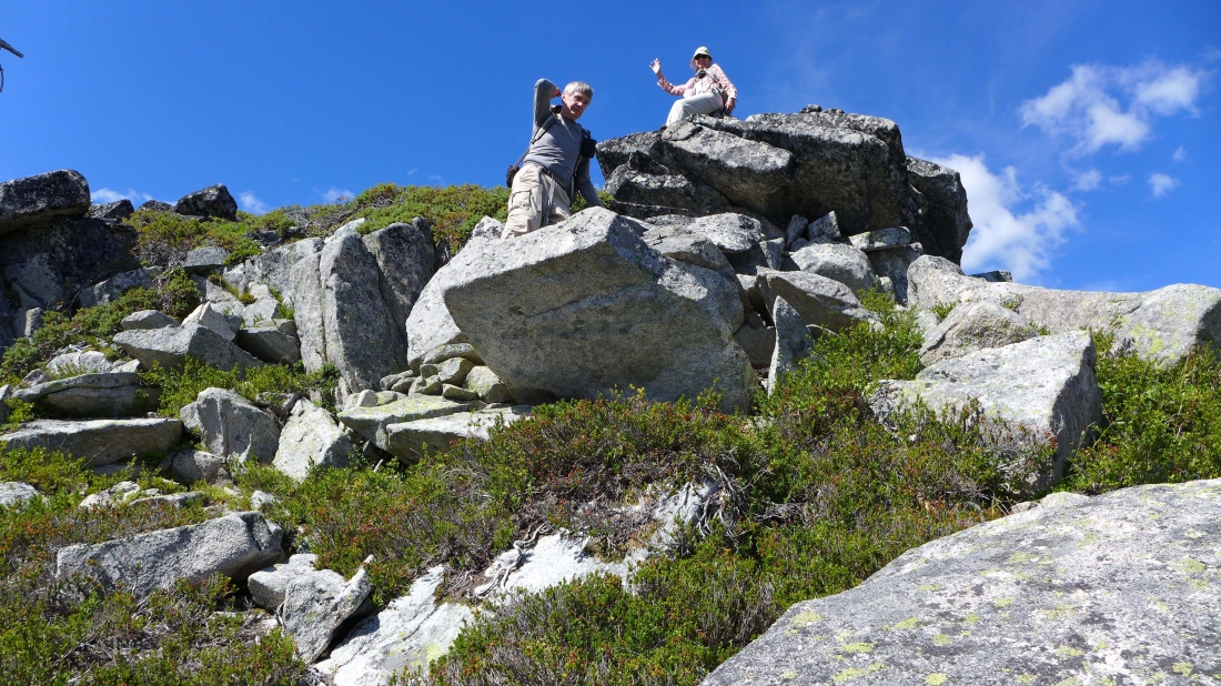
Almost around the false summit now... slightly easier terrain... with the true summit above rocman and BarbE in the distance.
|
Finally on the Junggeselle Peak summit (6527').
|
Looking north to Mac Peak in the center of the photo... the little nipple beyond and to the right of Mac Peak is Thor Peak.
|
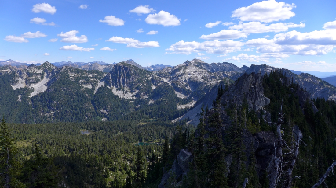
Junggeselle's false summit is in the right foreground... French Ridge runs from the center of the photo to the left edge of the photo... Trico Mountain and Granite Mountain are beyond the false summit.
|
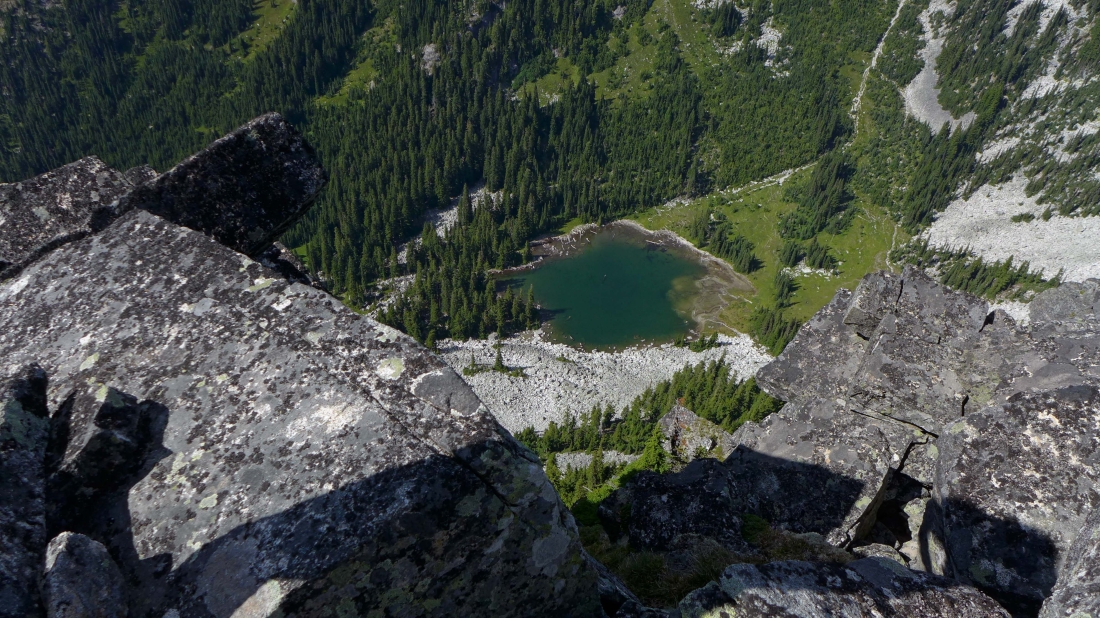
Looking down at Talus Lake on the north side of Junggeselle.
|
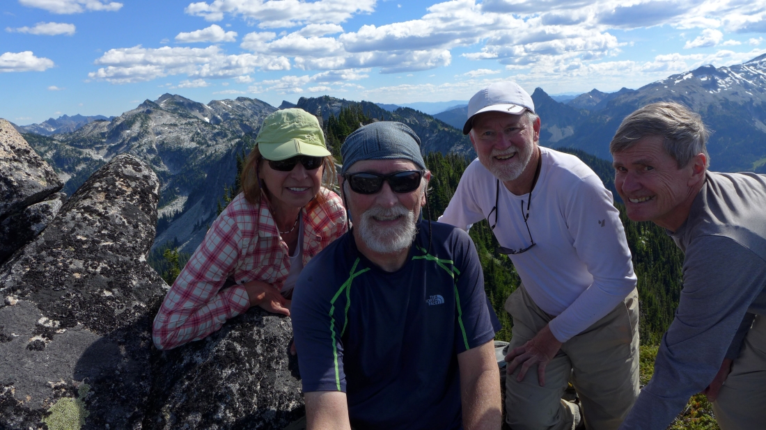
Using my selfie stick for this summit photo... BarbE, ragman, rocman and rodman.
|
BarbE takes a break on the Junggeselle summit... with Mt. Daniel across the valley.
|
Off of the summit now... working our way back below the false summit.
|
Still working our way back underneath the false summit.
|
Back on the ridge and looking for the meadow we used on the way up.
|
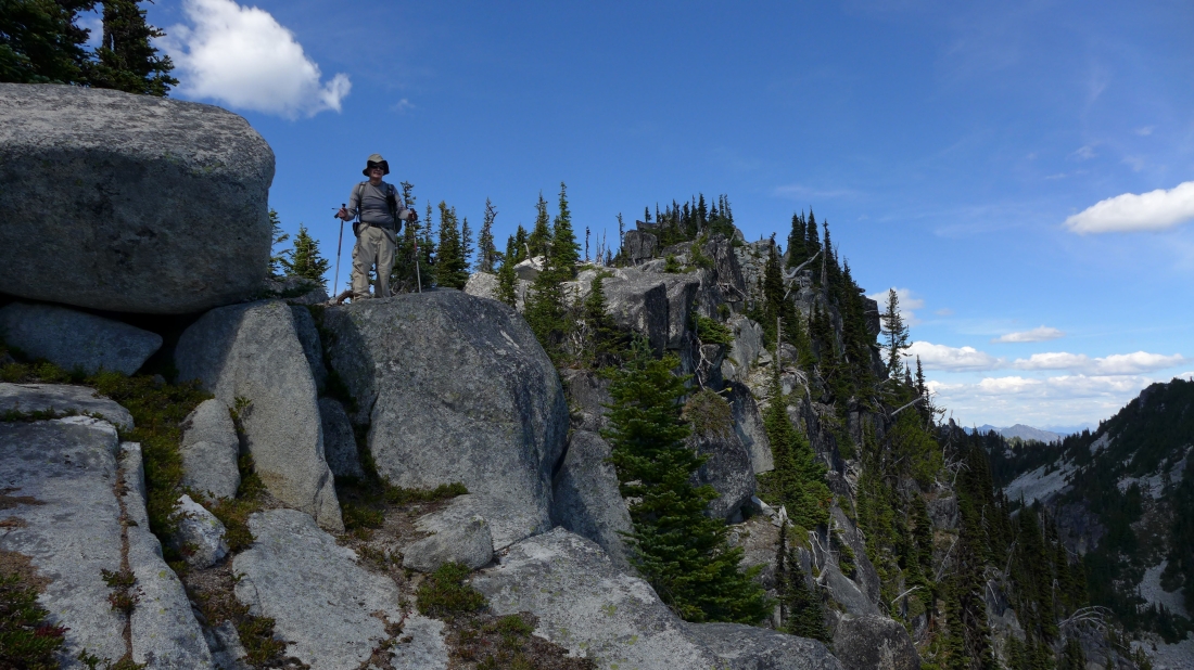
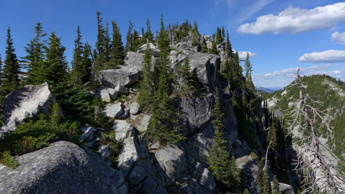
Some Class 2/3 on the south ridge of Junggeselle.
|
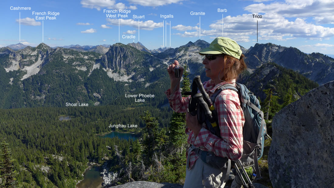
Peak identification from the south ridge of Junggeselle.
|
On Junggeselle's south ridge looking back at the false summit.
|
We have found the meadow that we used to gain the last 300 feet of elevation to the ridge.
|
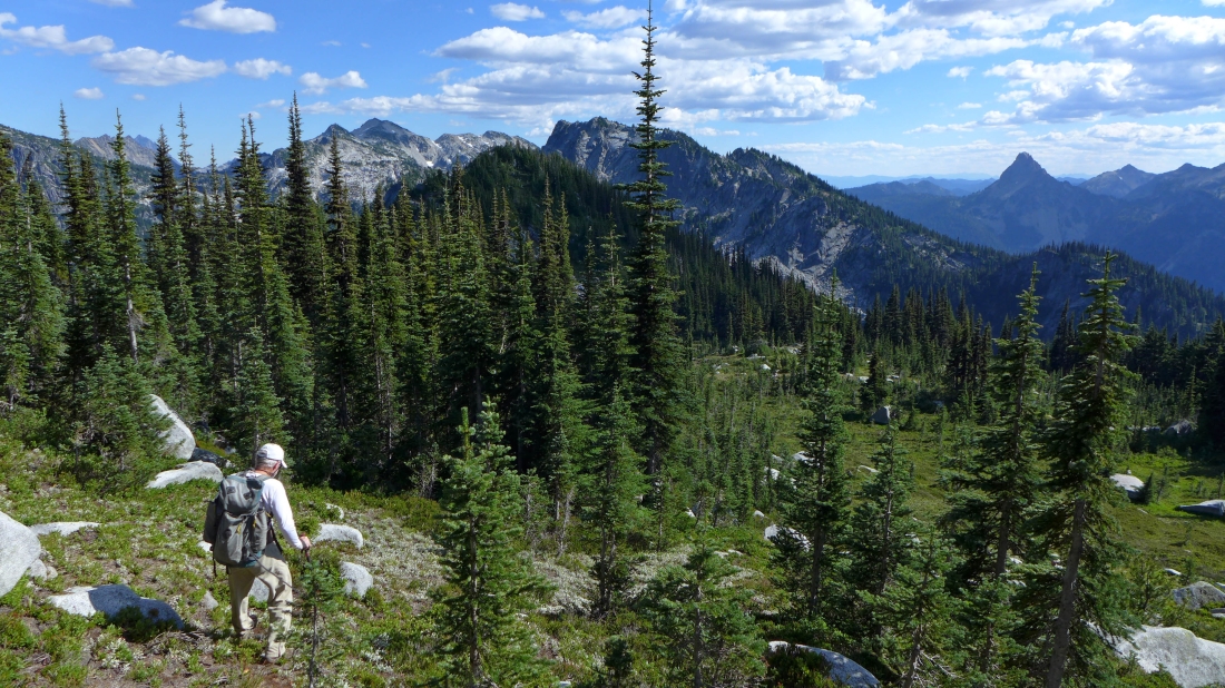
Continuing down... near the bottom of the large meadow... time to enter the tall trees and find the PCT 1600 feet below us.
|
Working our way down to the PCT.
|
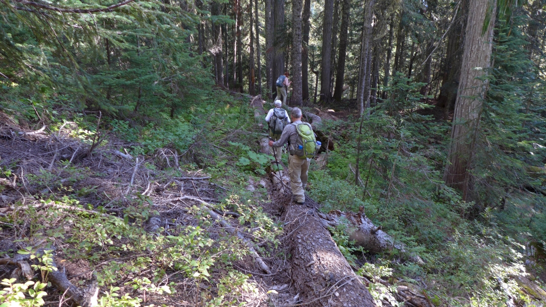
Using as many down trees as possible to get us back to the PCT... a very long day... 12 hours car-to-car... 16 miles roundtrip, gaining ~4000 feet of elevation.
|
