Broken Top (South Peak) - 9.13.2016
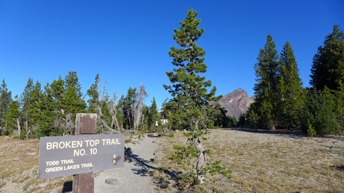
I started at the trailhead for Broken Top Trail No. 10... I got here after driving Road 370/Todd Lake Road for 4.1 miles... then turn left onto Road 380 and drive 1.1 miles to the trailhead... my trip was ~7 miles, gaining 3021 feet of elevation.
|
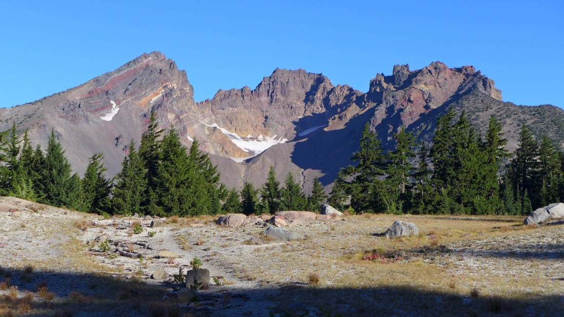
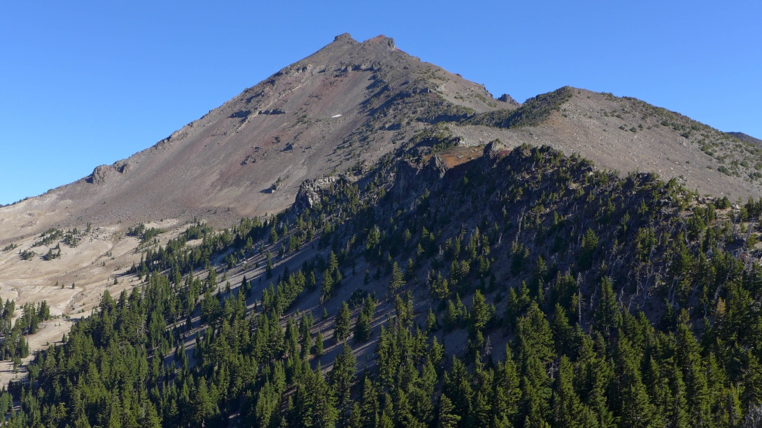
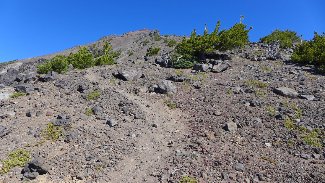
In less than 100 yards I got this look at Broken Top... I will head for the ridge on the left side of the photo and scramble to the high point on the left.
|
In less than a half-mile this split in the trail is unsigned... I will continue to the left. The trail to the right heads north to a beautiful lake on the east side of Broken Top and Broken Hand.
|
The approximate route I will take to the south peak of Broken Top.
|
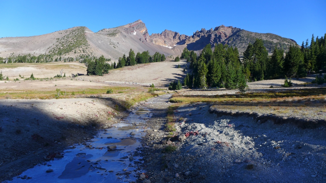
Crossing the Crater Ditch and continuing on the trail toward Green Lakes.
|
This is the sign at the spot where the trail to Green Lakes crosses the Crater Ditch Trail and continues toward Green Lakes.
|
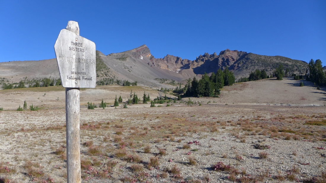
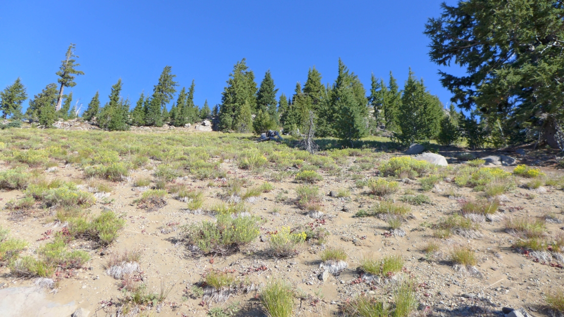
This hike is in the Three Sisters Wilderness.
|
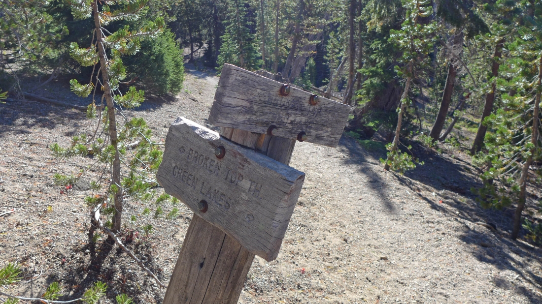
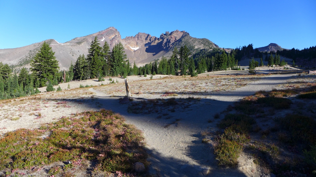
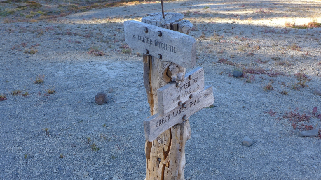
After hiking ~1 hour I reached the junction with the trail leading to Todd Lake... I will continue toward Green Lakes.
|

From the trail I got this view of Sparks Lake.
|
A short distance beyond the junction with the Todd Lake Trail I headed cross-country and uphill toward Cayuse Crater.
|
Heading for Cayuse Crater... South Sister on the left.
|
On the rim of Cayuse Crater (7354')... looking back at Mt. Bachelor on the left... with Sparks Lake on the right.
|
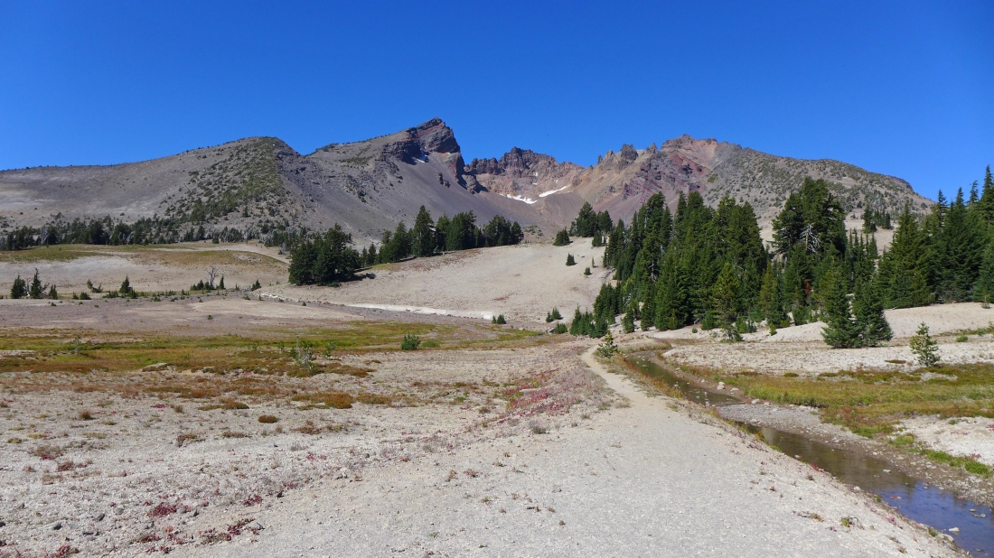
On the rim of Cayuse Crater... with Three Sisters on the left... and the south peak on Broken Top on the right.
|
From the Cayuse Crater rim I will follow this ridge to the south peak of Broken Top.
|
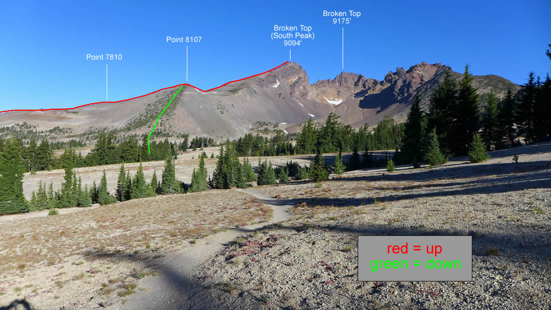
On the ridge leading to the south peak of Broken Top I will be crossing over Point 7810 in the center of the photo and Point 8107 on the right.
|

Heading for Point 7810.
|
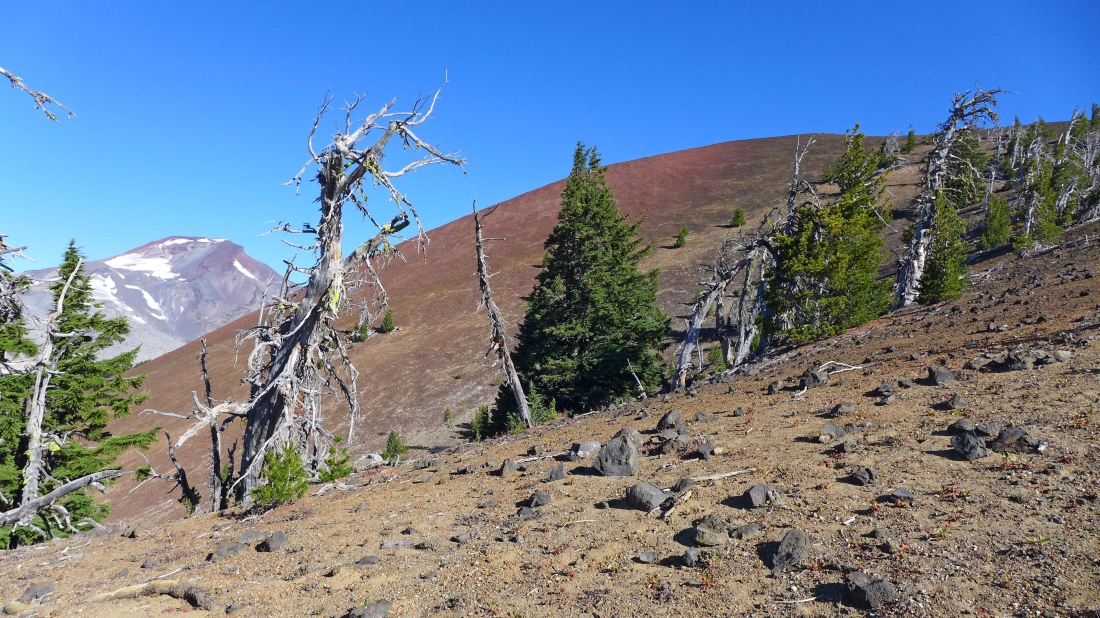
Nearing Point 7810 and looking back along the ridge to a brown Cayuse Crater... and beyond to Sparks Lake.
|

The path along the ridge to Point 7810 was very obvious in places... Point 8107 is on the right.
|
Three Sisters as I near Point 7810.
|
I have reached Point 8107... now the terrain will get steeper.
|
Leaving Point 8107 North Sister has disappeared... and I can only see South Sister and Middle Sister.
|
Gaining elevation along the ridge... looking back at Cayuse Crater and Sparks Lake.
|
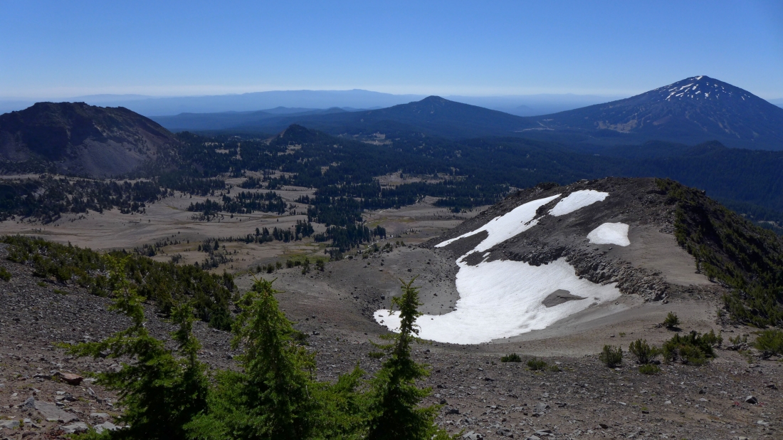
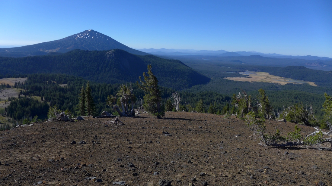
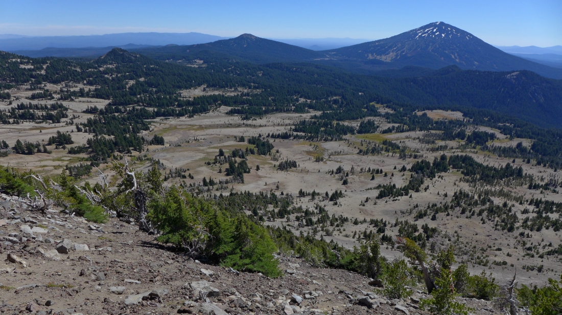
Looking back at Point 8107 (right foreground) as I gain elevation on the ridge... Ball Butte on the far left... Tumalo Mountain in the center... with Mt. Bachelor on the far right.
|
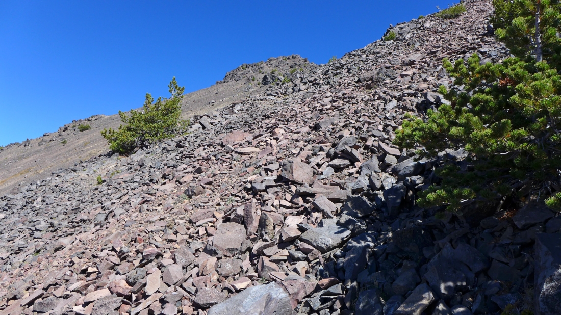
Continuing up the ridge on a steep and loose path.
|
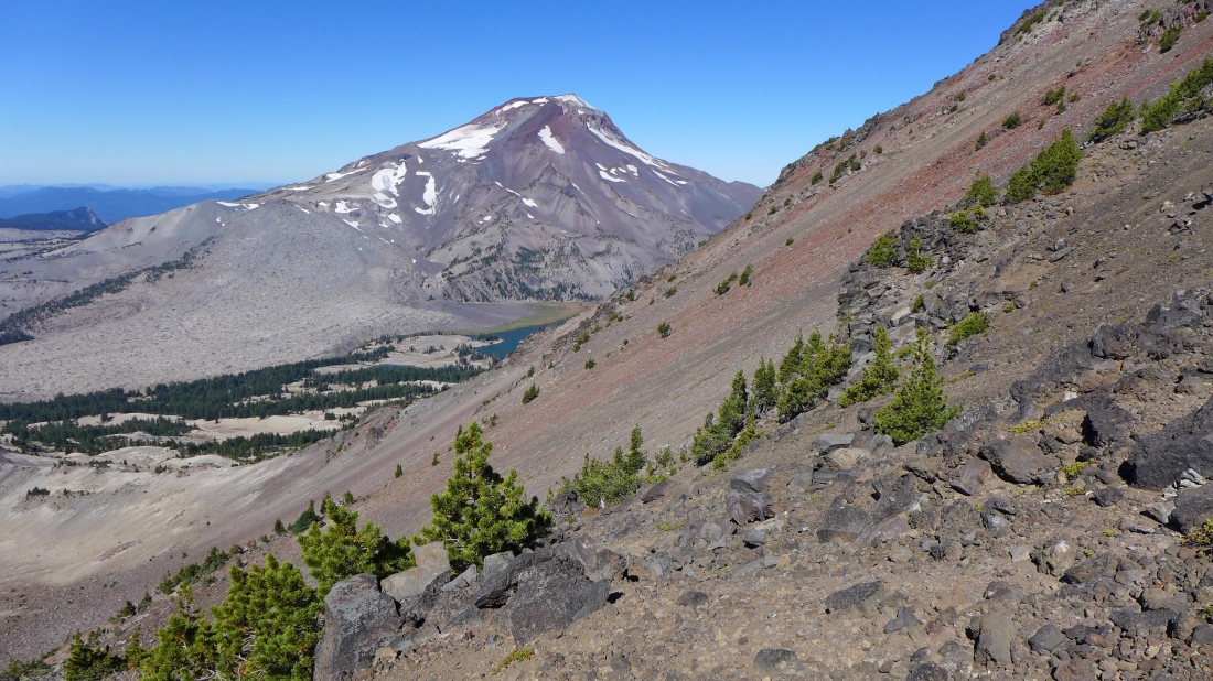
South Sister in the distance and a portion of two of the Green Lakes... this photo gives an idea of the steepness of the terrain.
|

Continuing up toward the south peak of Broken Top.
|
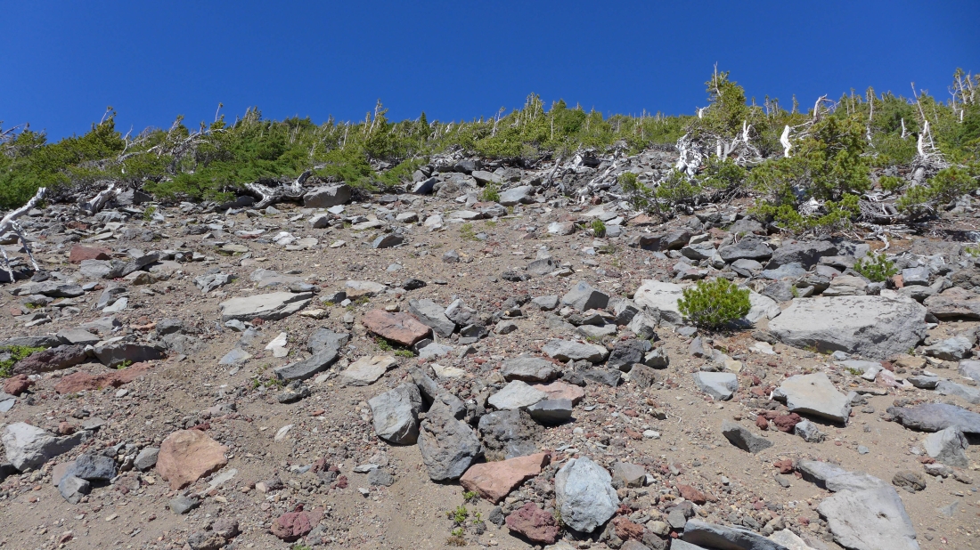
Shows the steepness of the terrain.
|
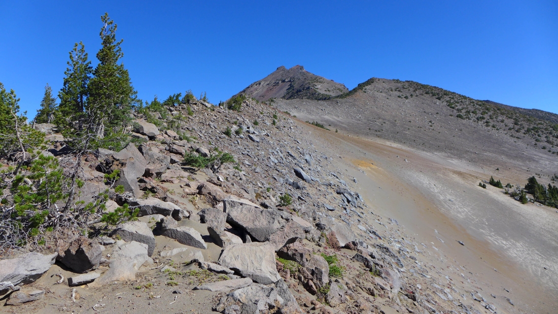
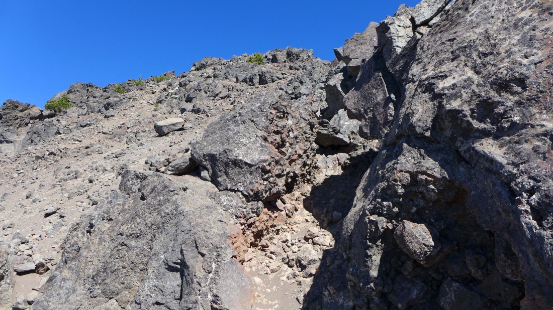
Crossing this was not fun... I can see the summit above.
|

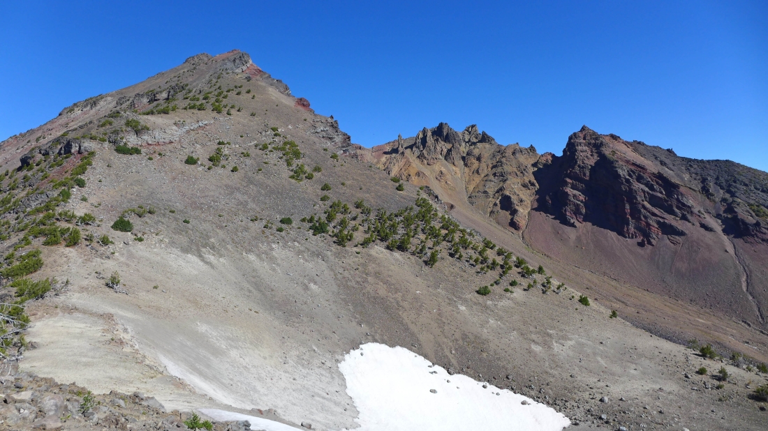
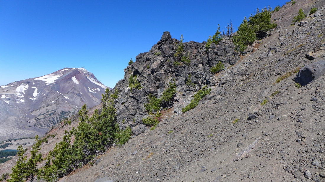
I have reached the west rim and looking across to the east rim... after I get the south summit I will come back and scramble up to the point in the right foreground.
|
Continuing up along the west rim... looking back at the point I will visit on my way down.
|
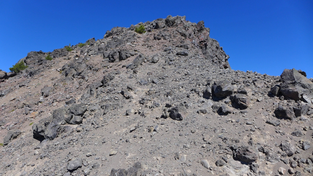
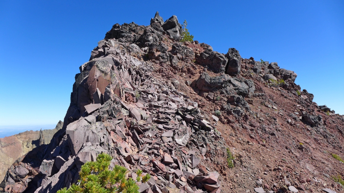
Ugh... 150 more feet of this stuff to reach the south peak summit.
|
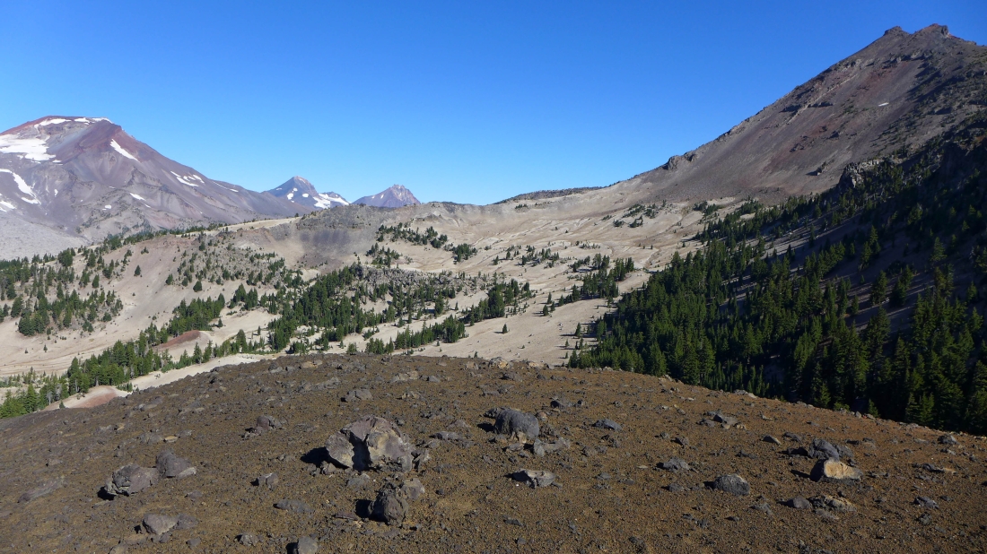
Still on the west rim of the crater and looking back... Ball Butte in the distance in the center of the photo... part of the east rim is on the left.
|
Will I ever get there?
|
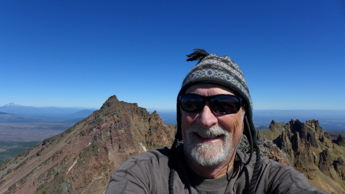
A selfie on the South Peak (9094') of Broken Top... the true summit (9175') is behind me.
|
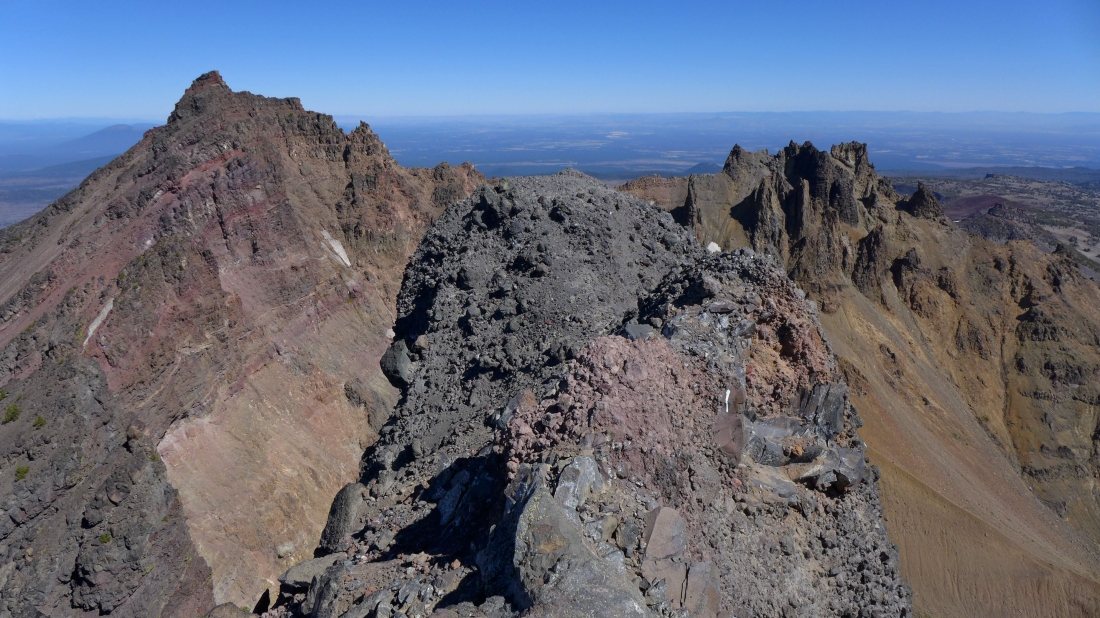
On the South Peak summit of Broken Top... looking at the true summit on the left.
|
|
Not a very good pano... but it gives perspective.
|
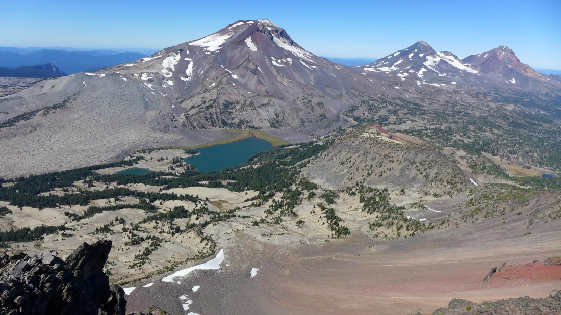
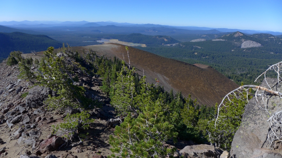
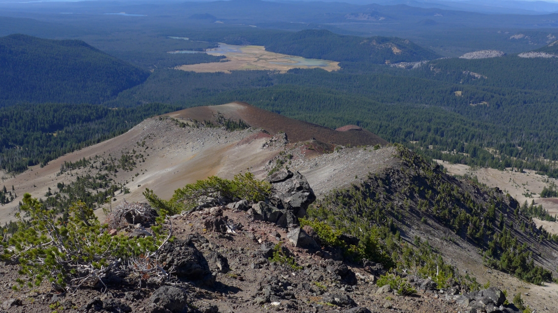
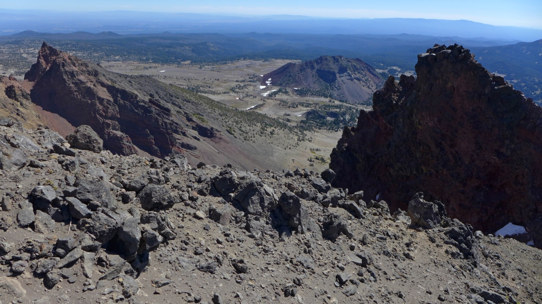
Green Lakes and Three Sisters as viewed from the south peak of Broken Top.
|
Middle Sister and North Sister on the left... with the true summit of Broken Top on the right.
|
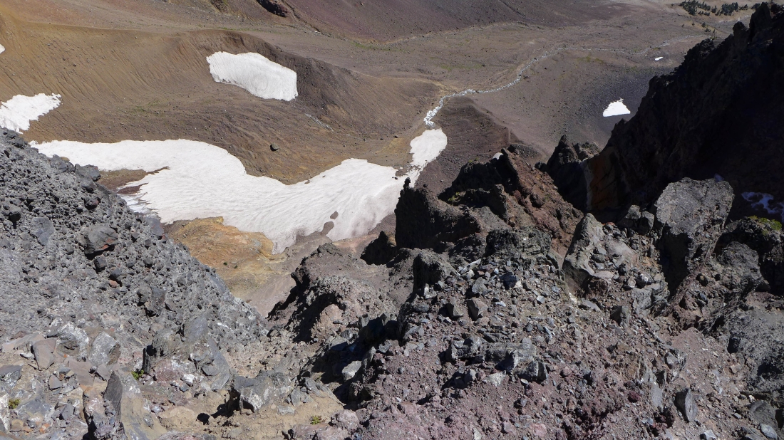
Looking down into the Broken Top crater.
|
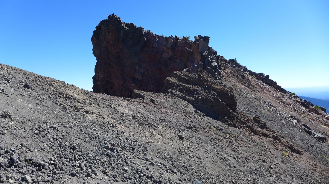
Heading down from the south peak and heading for this interesting point.
|
A pretty good path leads most of the way up to this view point.
|
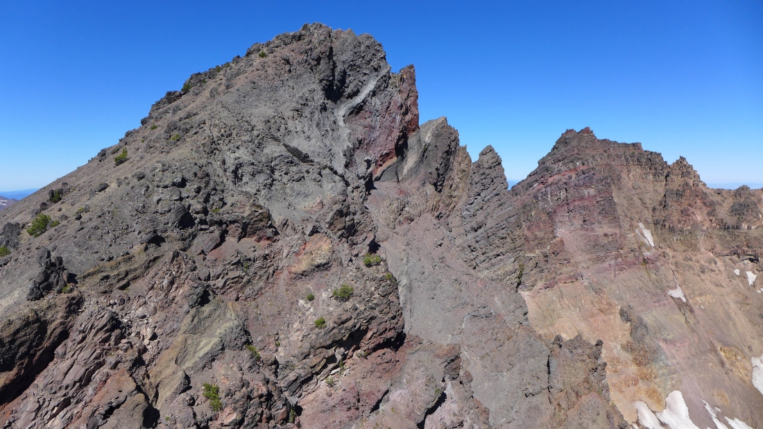
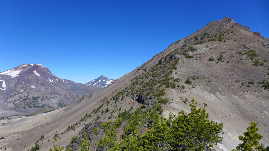
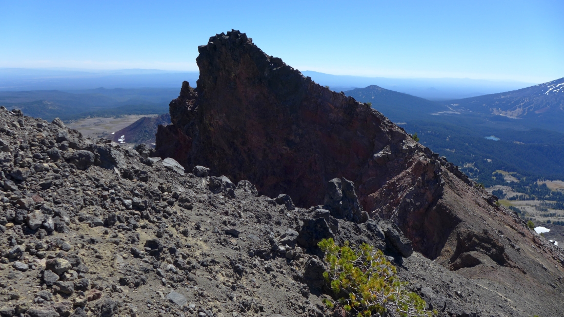
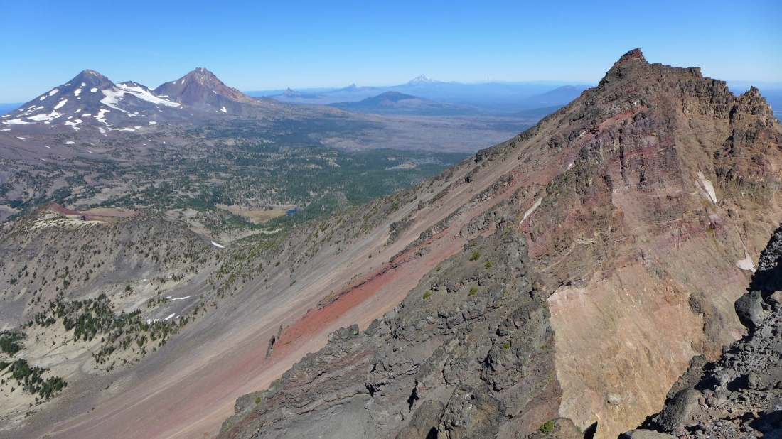
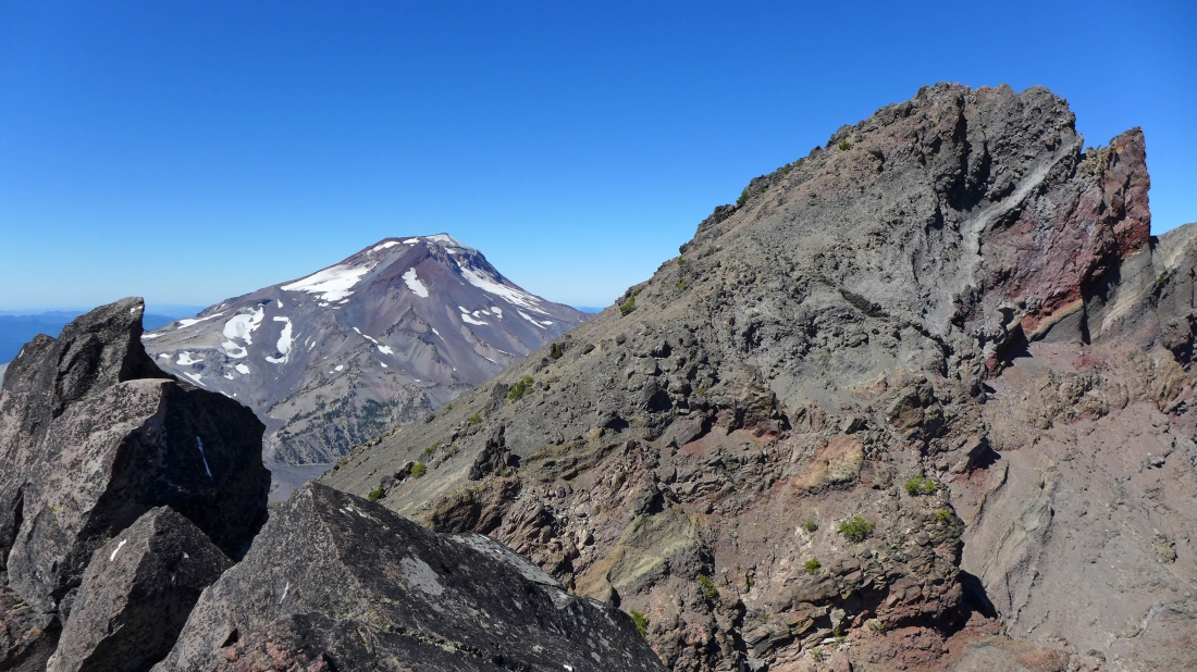
I reached my view point... with the South Peak of Broken Top in the left foreground... and the true summit on the right.
|
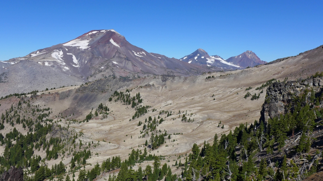
South Sister on the left... with the South Peak of Broken Top on the right.
|

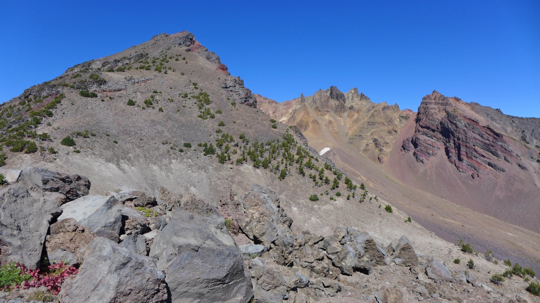
The true summit of Broken Top on the left and a portion of the east rim on the right.
|
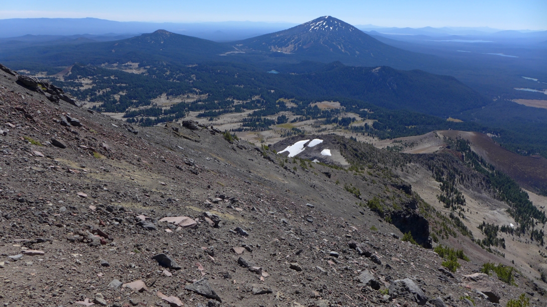
Heading down on steep and loose terrain... Mt. Bachelor in the distance.
|
Back to Point 8107.
|
Instead of returning along the ridge from Point 8107 to the Cayuse Crater I decided to go south in a direct route back down to the trail.
|
Looking back up toward Point 8107 as I head down to the trail.
|
On the trail and looking back at my approximate route from earlier in the day.
|
Back at the Crater Ditch... leaving ~1.5 miles of hiking to get back to the car.
|
