Indian Cove Loop - 1.30.2017
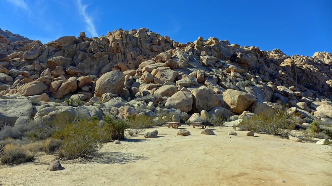
We started this one mile loop hike/scramble from the Indian Cove Picnic Area... enter the park from just inside the city limits of Twentynine Palms by driving the Indian Cove Road to the Indian Cove Campground... then turn left and drive another mile or so to the picnic area.
|
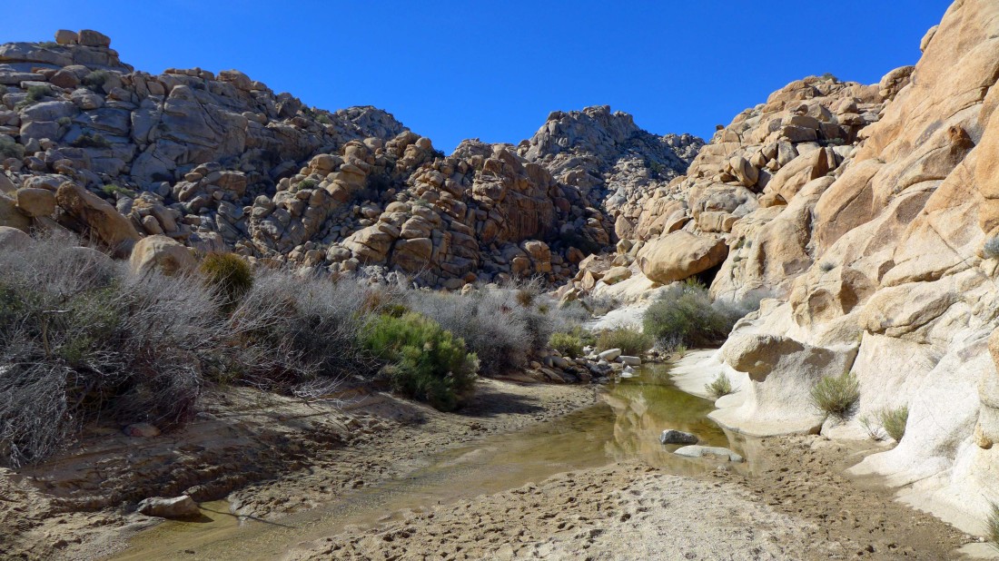
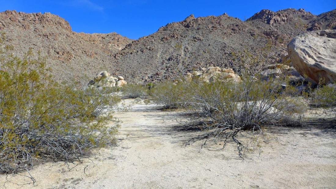
Leaving the picnic area and entering a wash just east of the picnic area.
|
The fun starts almost immediately.
|
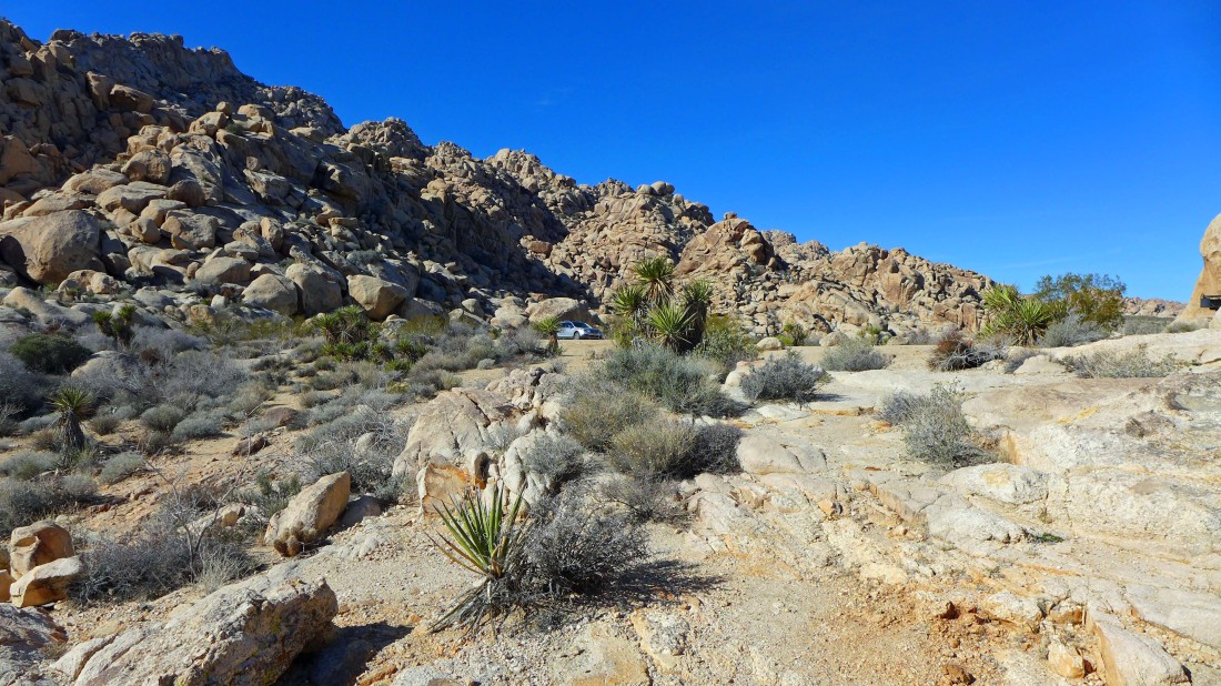
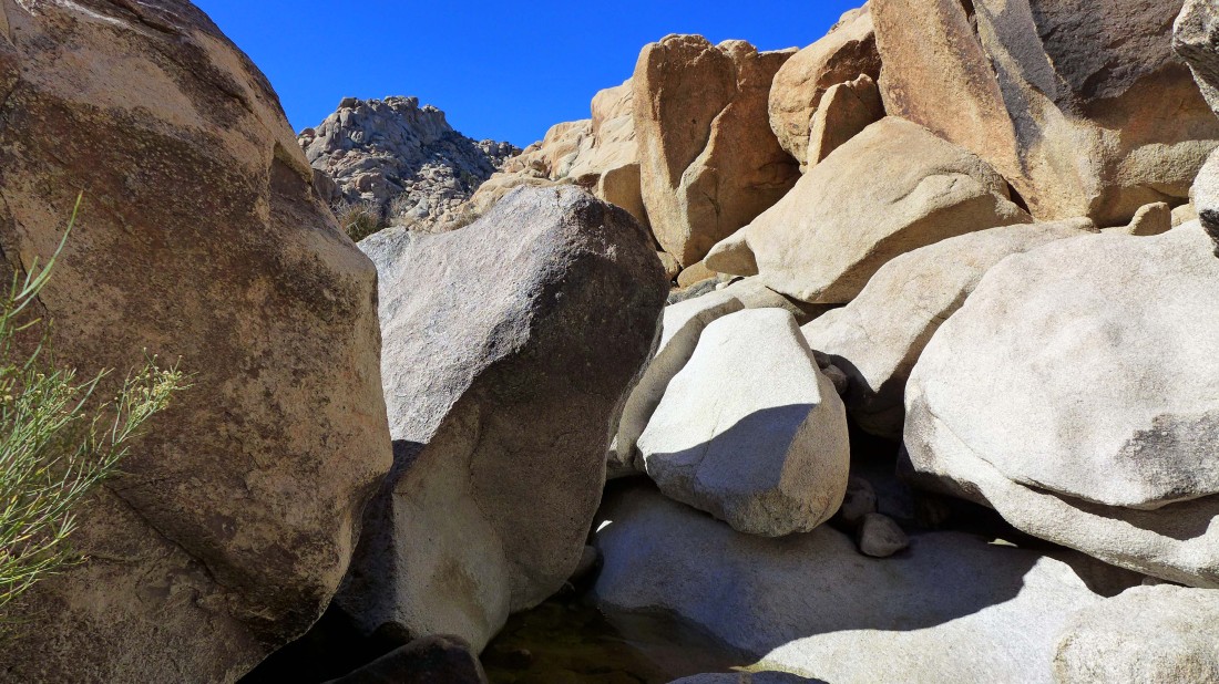
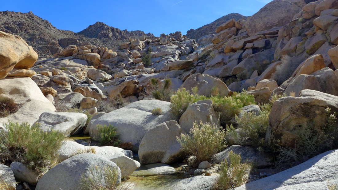
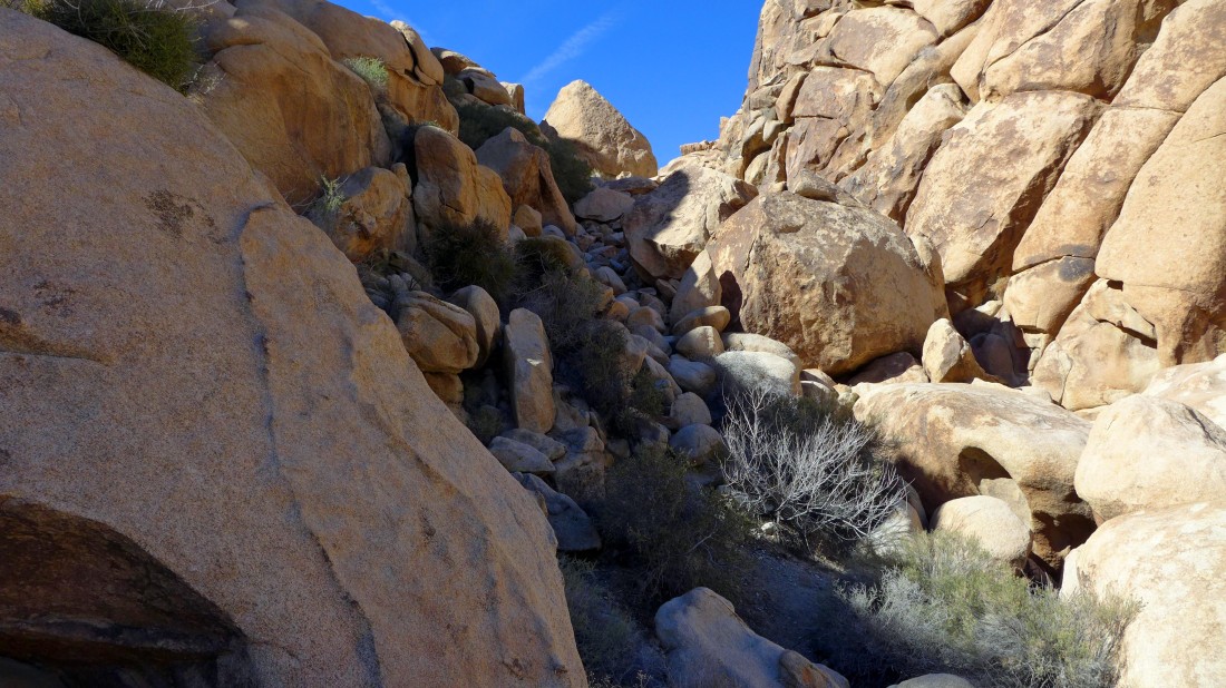
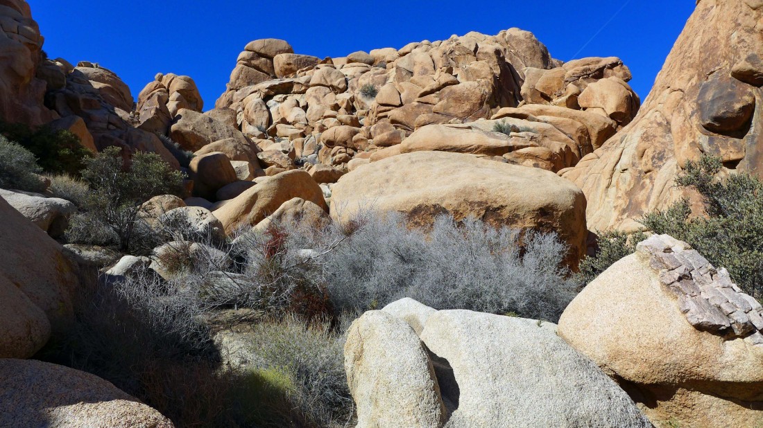
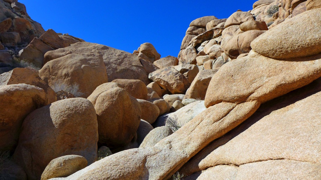
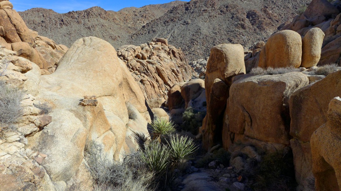
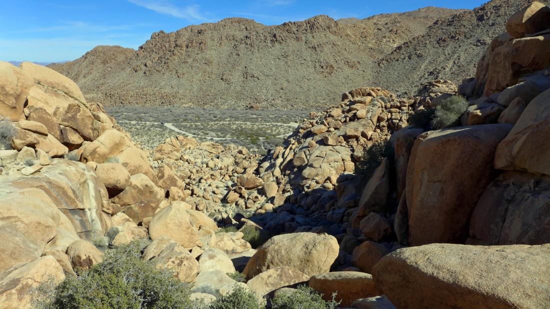
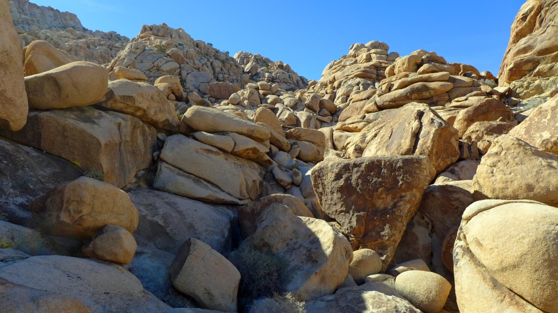
Looking ahead at our route... whoa... looks like there will be plenty of boulders.
|
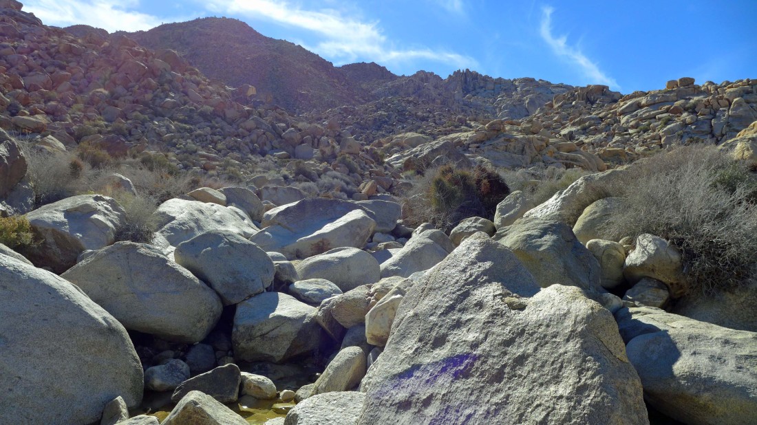
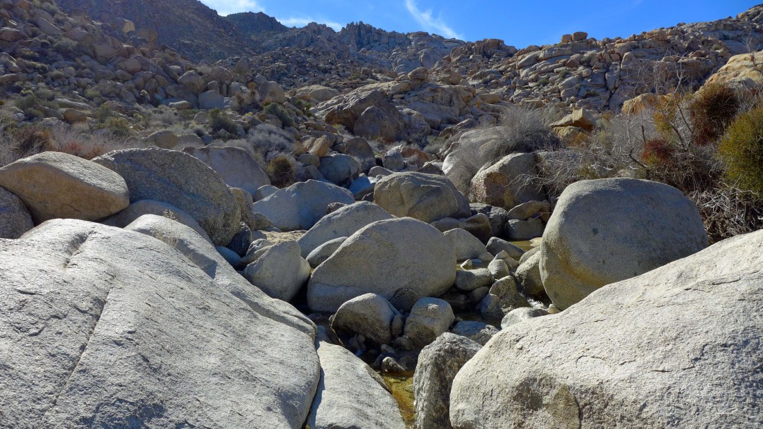
Following the water... we have read that there is a nice waterfall above.
|
Gaining a bit of elevation as we continue to follow the water.
|
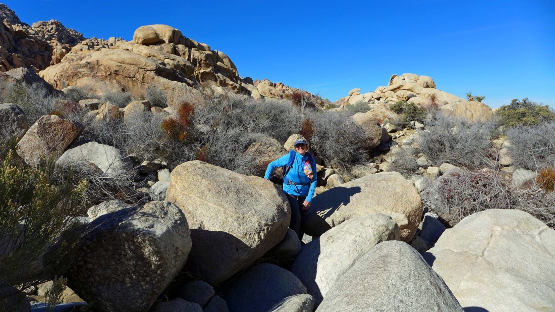
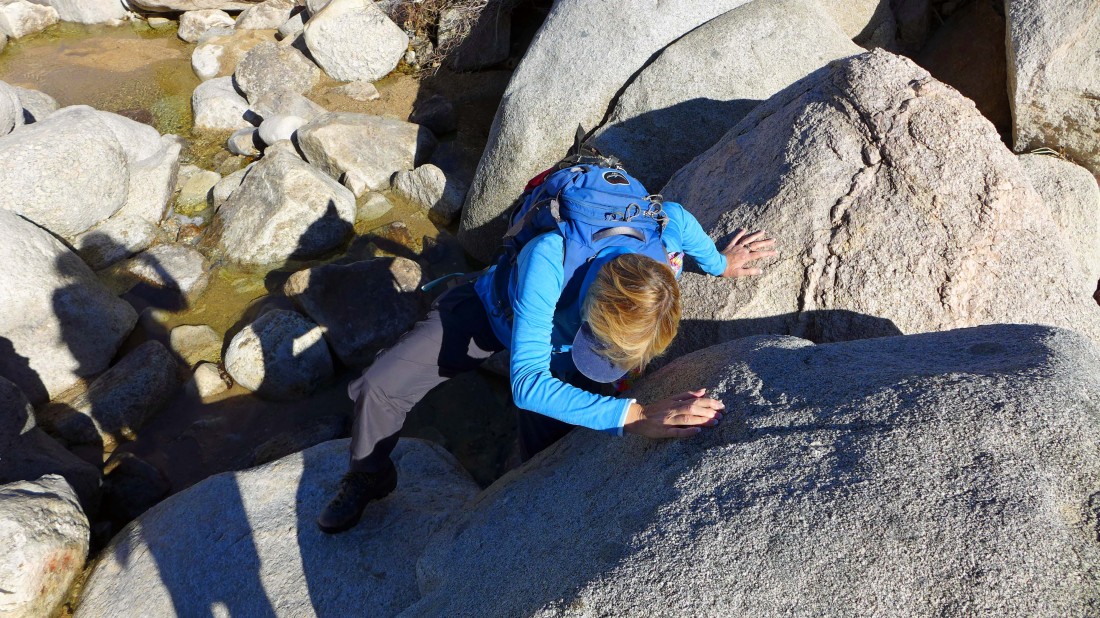
Denali Girl says she has had enough... and that she will fly back to the car and await my return.
|
Looking back at Denali Girl as I continue to follow the water... the loop is only one mile, but it will take me 2.5 hours to complete it.
|
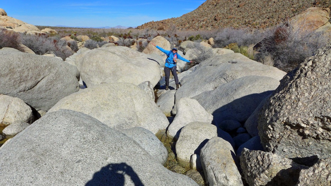
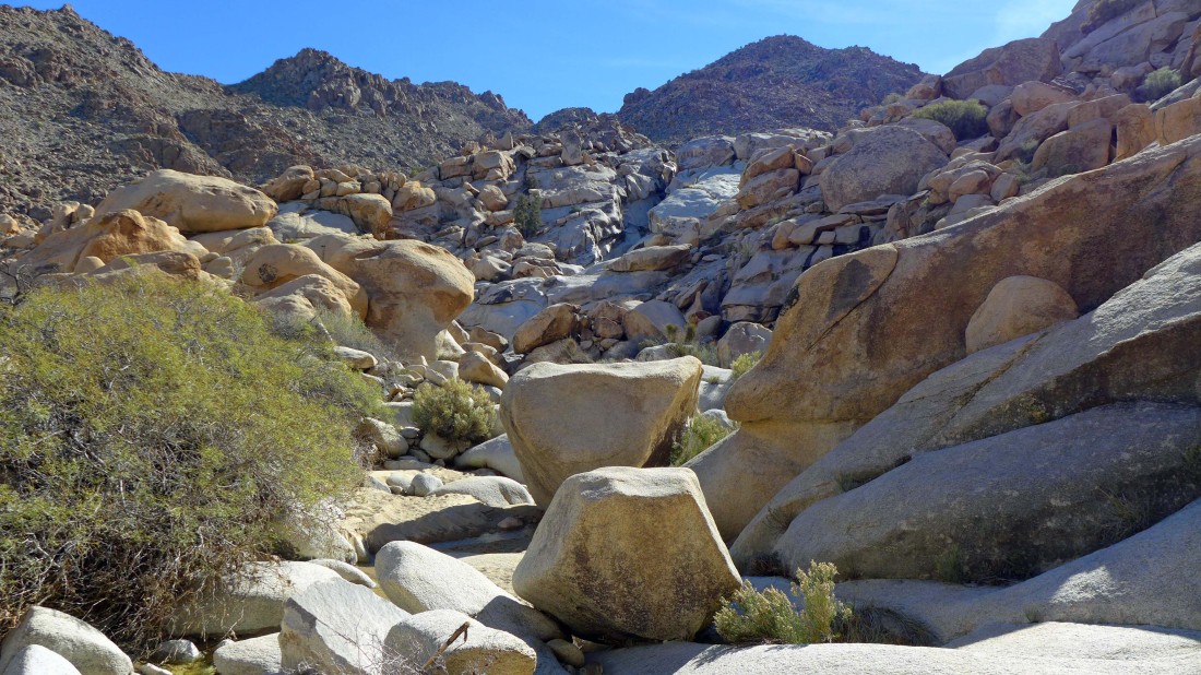
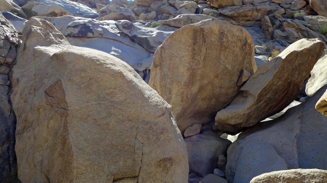
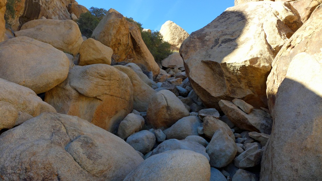
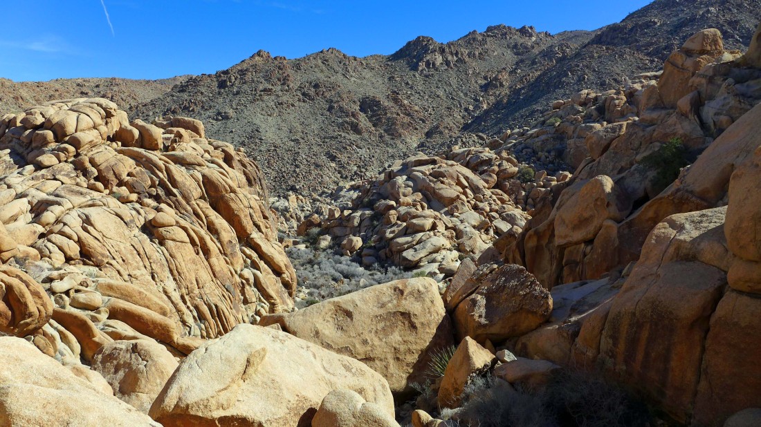
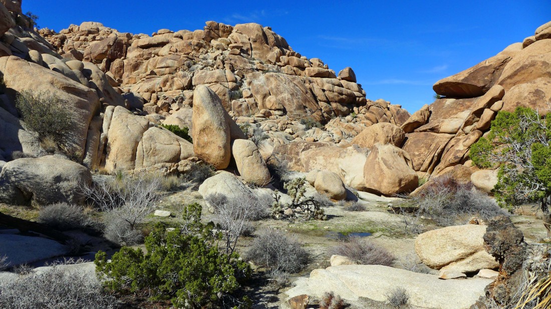
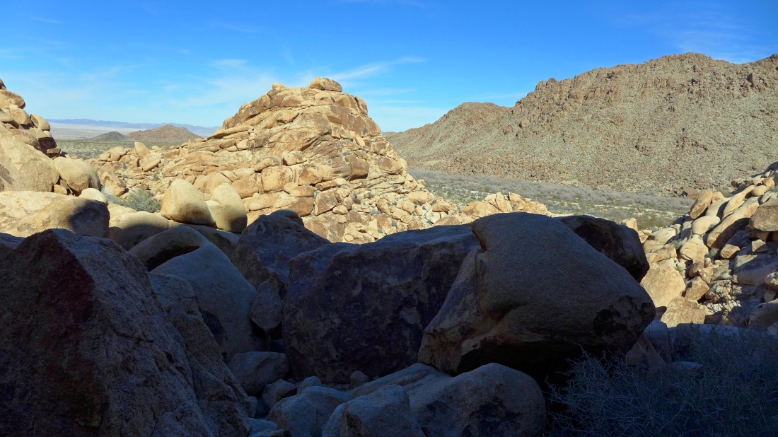
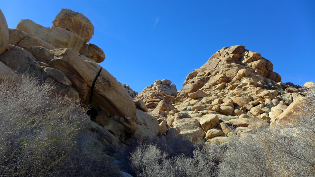
There are some really big boulders on the route.
|
Looking back.
|
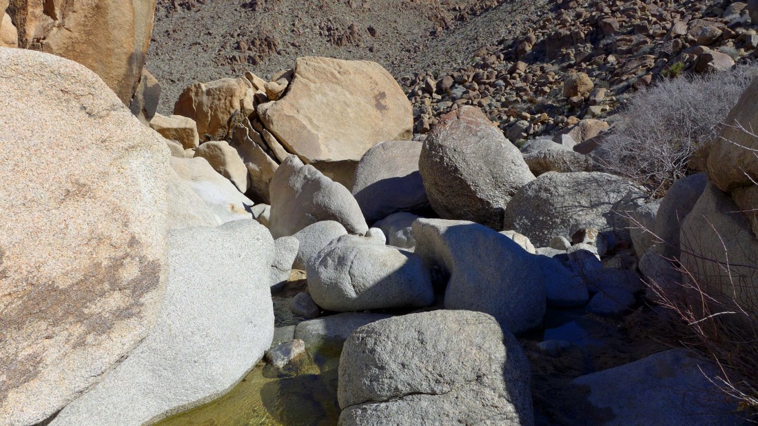
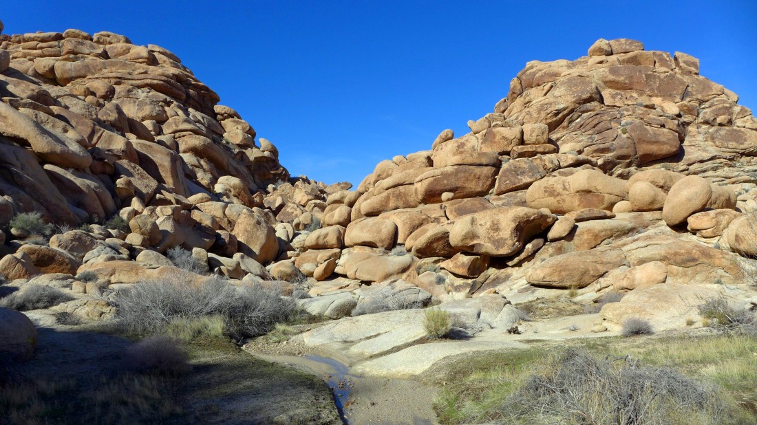
Back in the wash and following the water.
|
Continuing to follow the water... looking for the waterfall.
|
Still following the water.
|
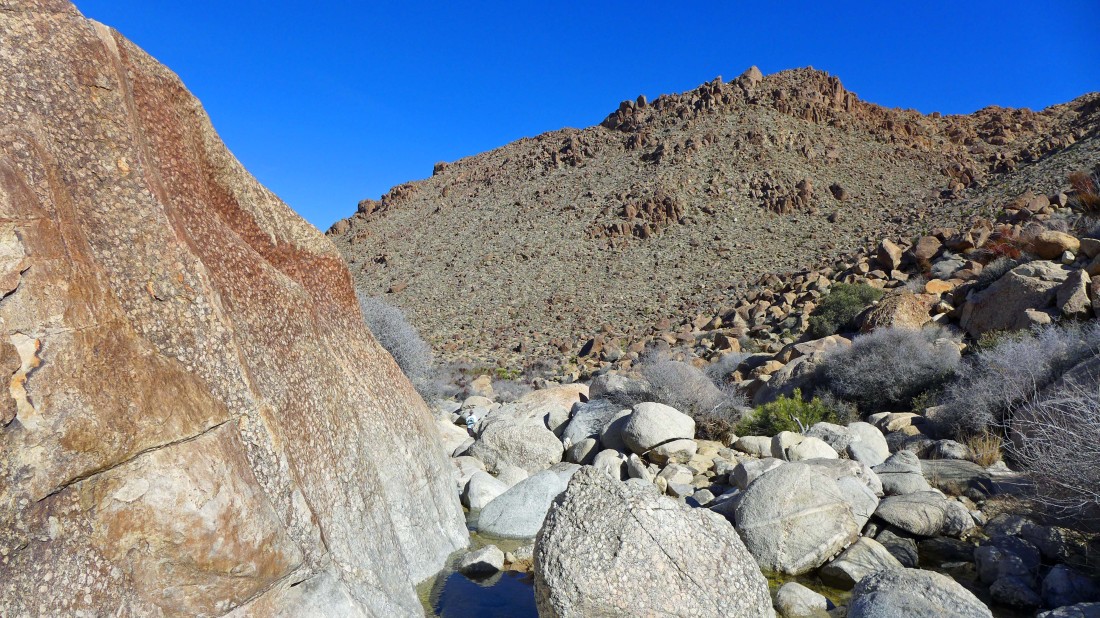
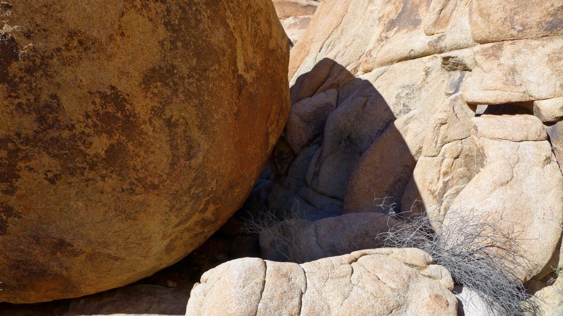
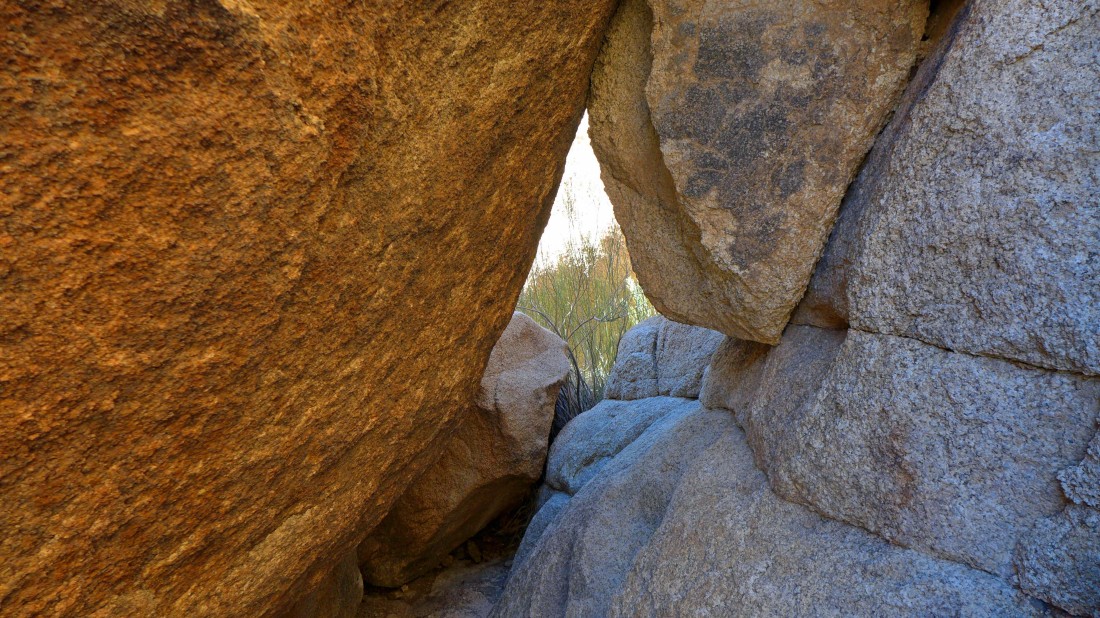
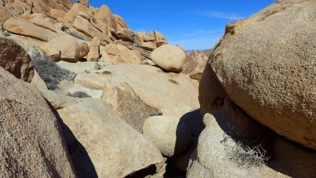
Challenging terrain.
|
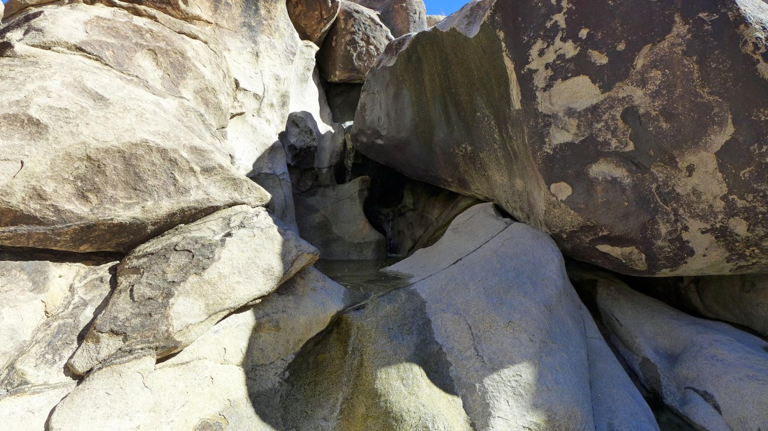
I have found a little three tiered waterfall... and can't find a comfortable way to continue toward the supposed bigger waterfall. I have a GPS track of the one mile loop... and since I'm already off route, I will go back and get on track again.
|
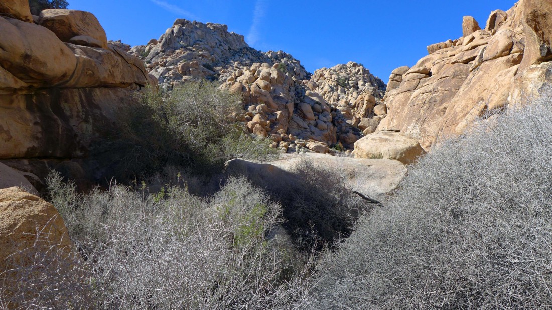
Leaving the little waterfall and heading back toward the gully in the center of the photo.
|
Back on track... time for some up.
|
Continuing up... back on the GPS route.
|

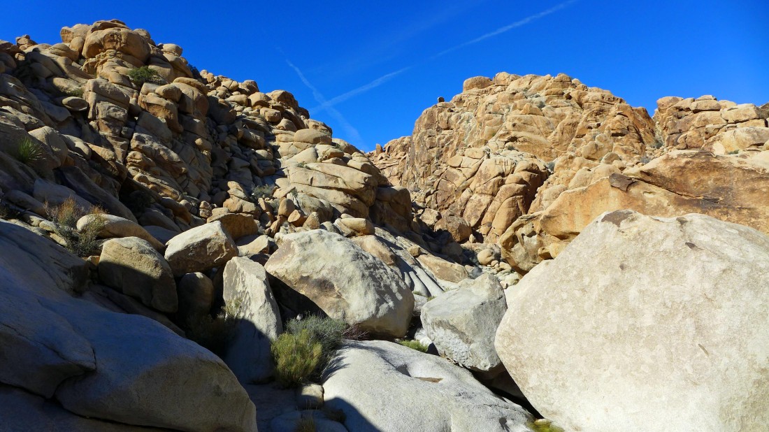
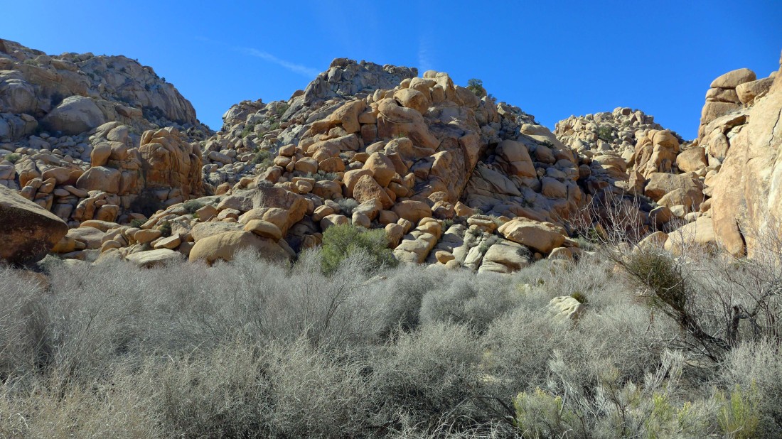
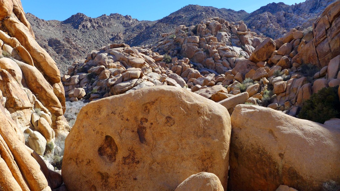
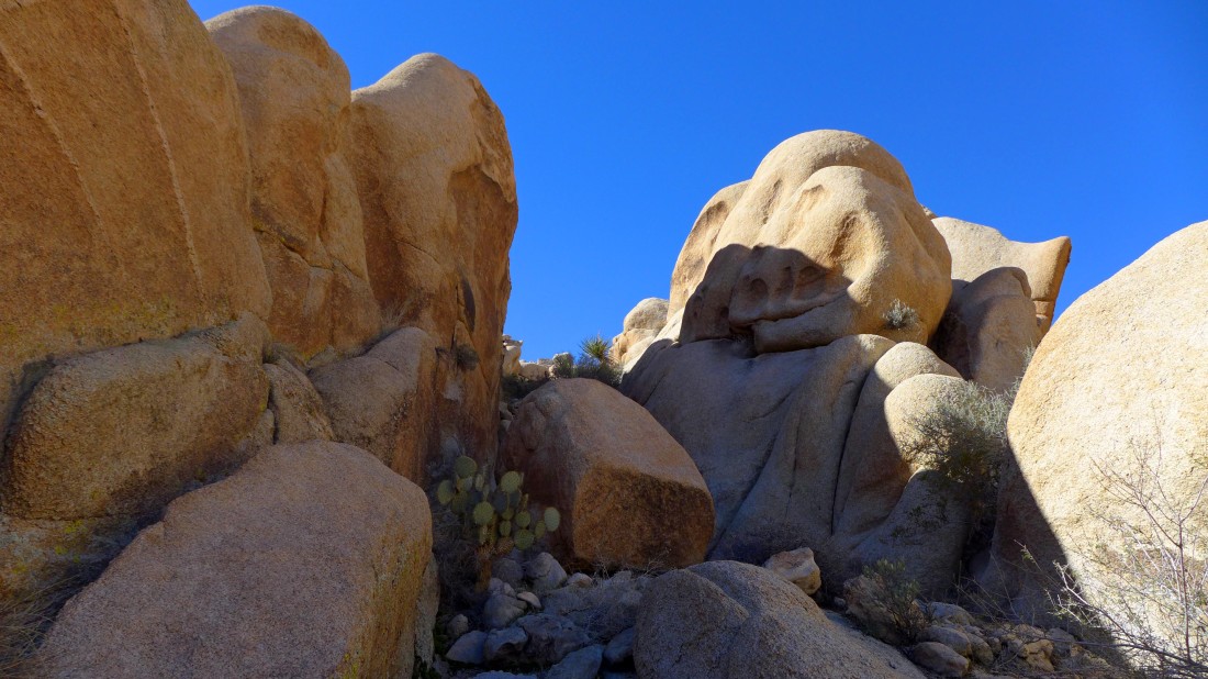
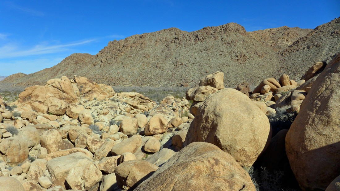
Piles of boulders... some of them are very large.
|
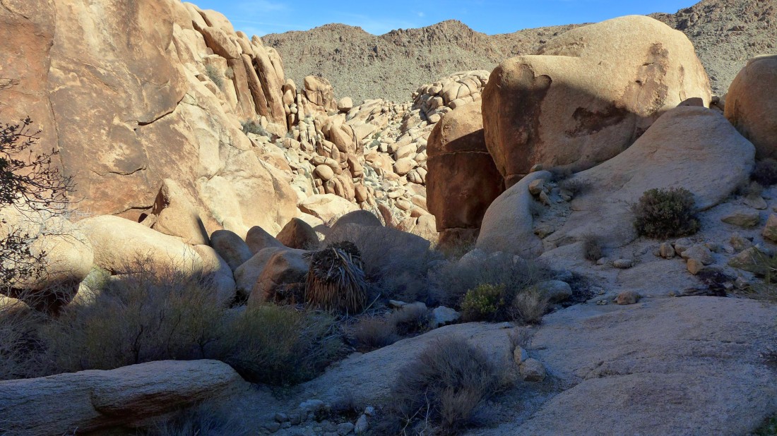
Oh joy... I've reached a flatish area... but will need to deal with some nasty brush.
|
There was a path of sorts that led through the brush... but it was necessary to make myself small in order to keep the scratches and cuts to a minimum.
|
I'm following the GPS track.
|
Under or over?
|
Under will work here.
|
Looking back at the brushy patch that I just came through.
|
More challenging up stuff.
|
Looking back at my route through the rock and brush.
|
Time to head down now.
|
Looking back as I head down.
|
The terrain looks reasonable here... but the toughest stuff of the day is still to come.
|
A flatish area... is the terrain going to be easier now?
|
Uh no... the terrain is not going to be easier now.
|
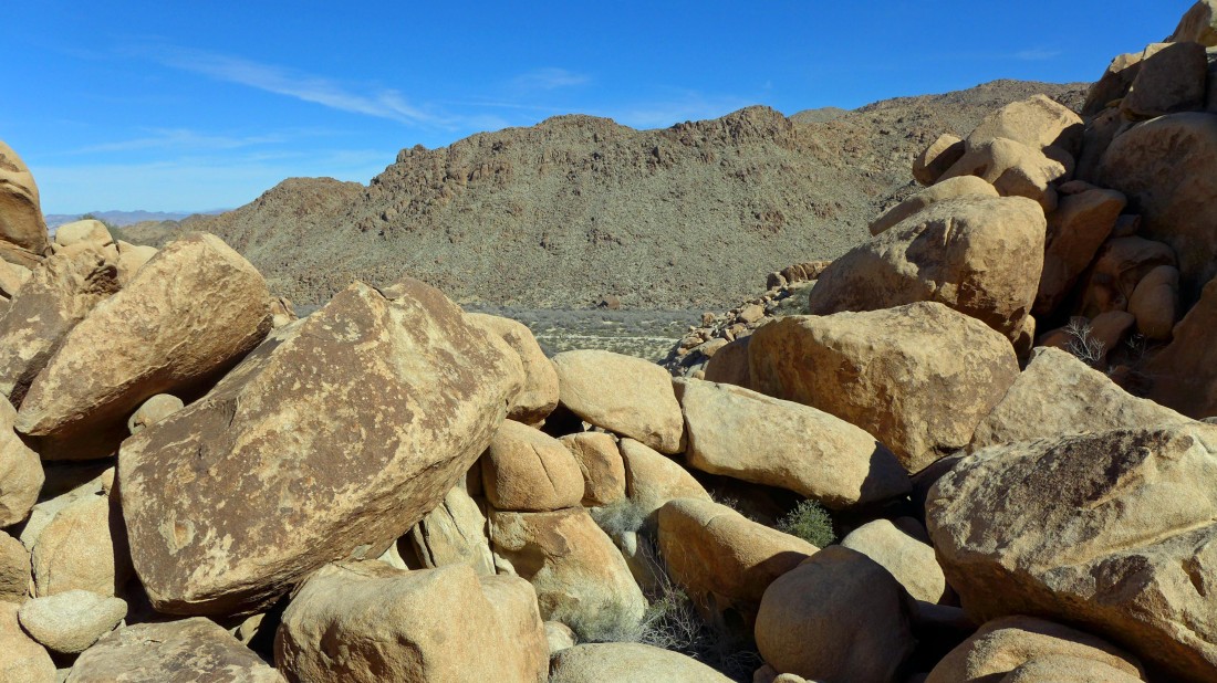
Ugh... I can see the road just above the rock pile... but it took a few false starts here to finally find a reasonable route.
|
The road is so close... but it probably took me at least 45 minutes to get down to it.
|
Another spot where I made a few false starts. At this point there is no going back the way I came... the only option is down.
|
The terrain is very deceiving... I couldn't see this flat area from above... now it is going to be simple to get on down... right?
|
Well no... it isn't going to be simple to get down to the road.
|
I have absolutely no idea of the route I used to get down this... but here I am.
|
Looking back at my route back down to the desert floor... and I get to enjoy some more of the nasty brush as a bonus.
|
The last 100 yards back to the car was a walk in the park... the entire trip was a 1.1 mile loop, gaining 352 feet of elevation on very difficult terrain... A ton of Class 2... some Class 3... and a couple of Class 4 moves.
|
