Safford Peak - 4.16.2017
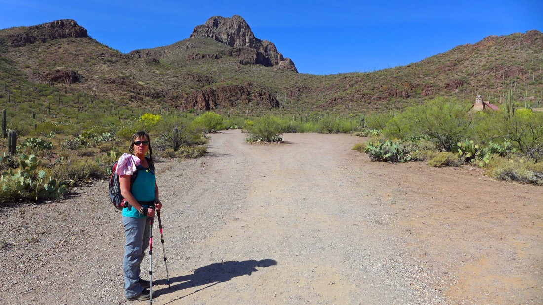
We started this hike from Sanctuary Cove... located NW of Tucson in the Tucson Mountains... locals refer to Safford Peak as 'Sombrero Peak' because it resembles one from a distance.
|
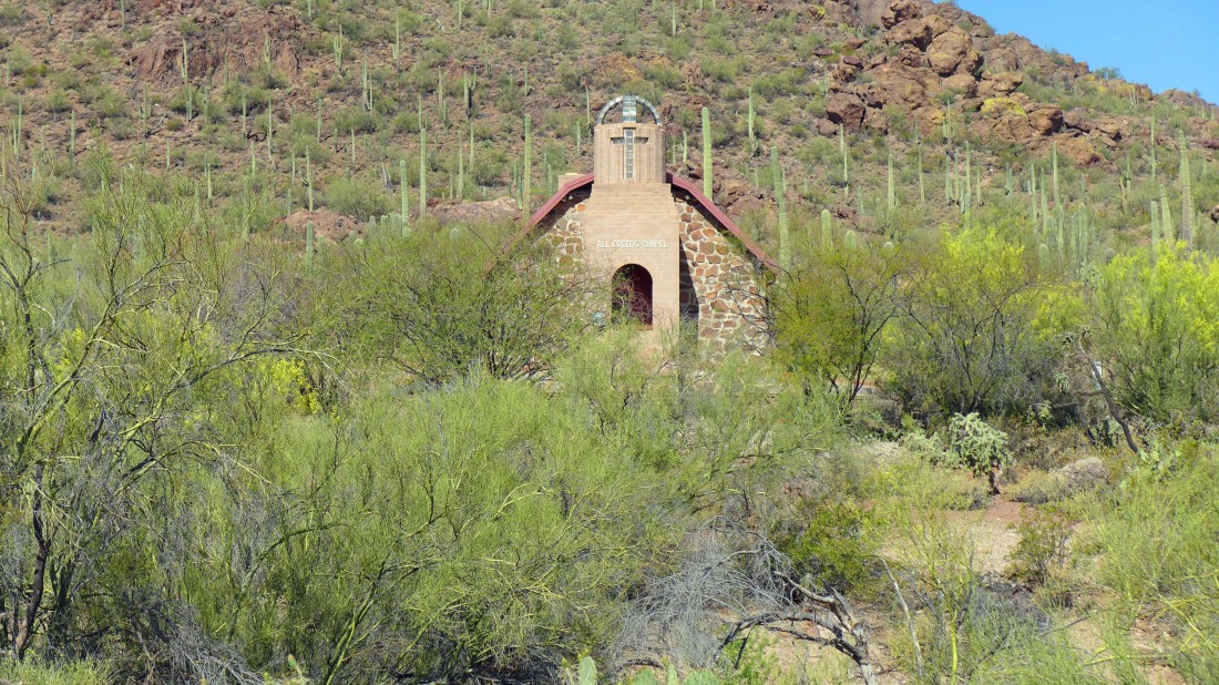
There is a parking area near the chapel in Sanctuary Cove.
|
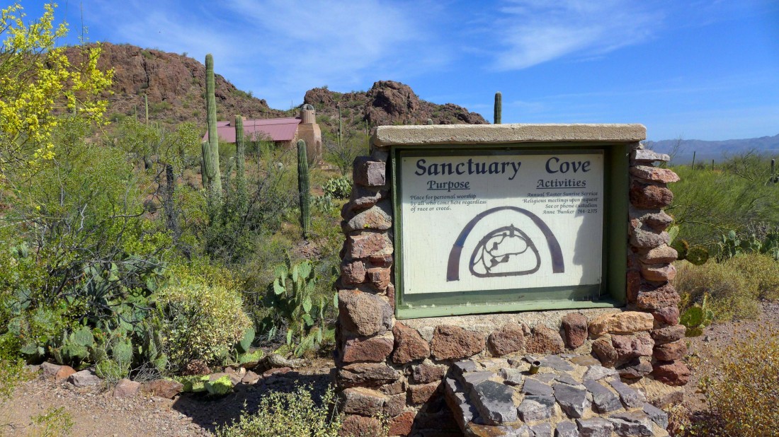
You can google Sanctuary Cove for more information.
|
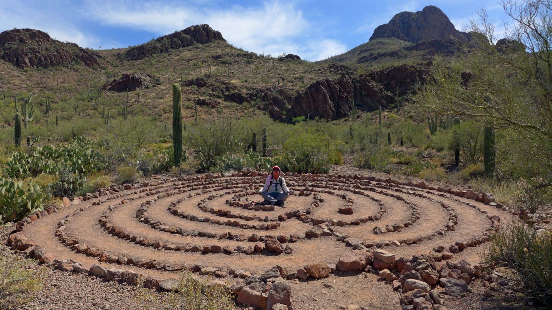
The trail goes past this labyrinth... Elle decided to meditate.
|
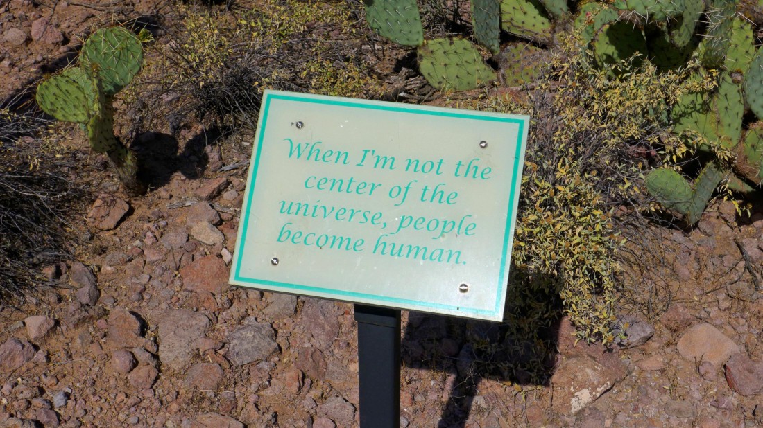
The first half-mile has some inspirational messages for the hiker.
|
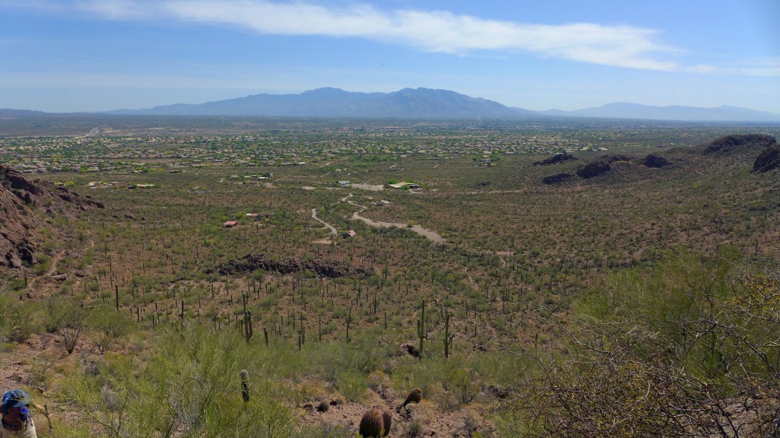
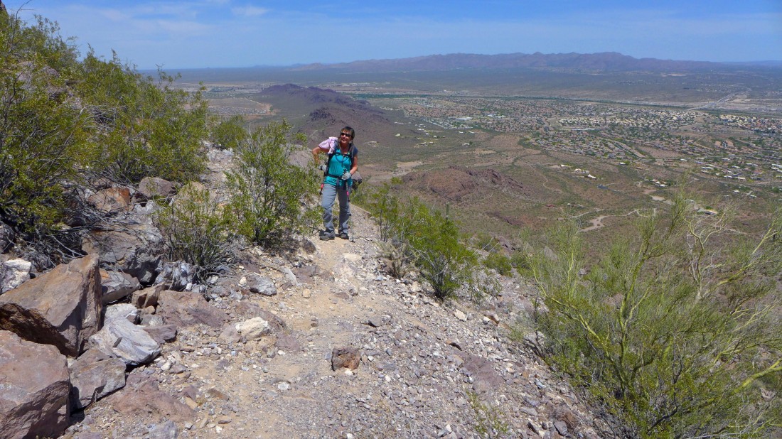
Gaining elevation above the chapel and parking area... the Santa Catalina Mountains are on the horizon.
|
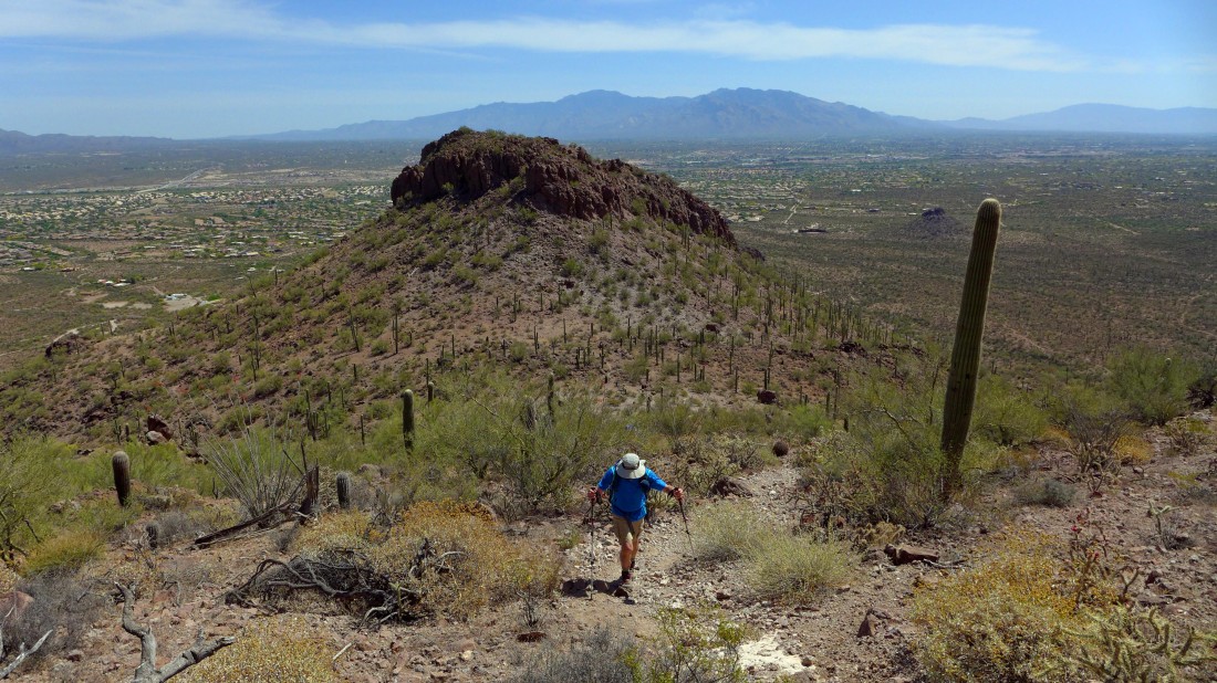
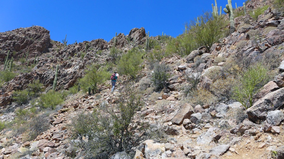
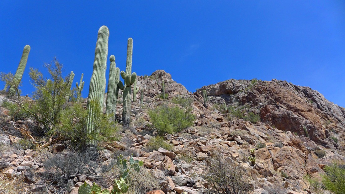
Continuing to gain elevation on the trail.
|
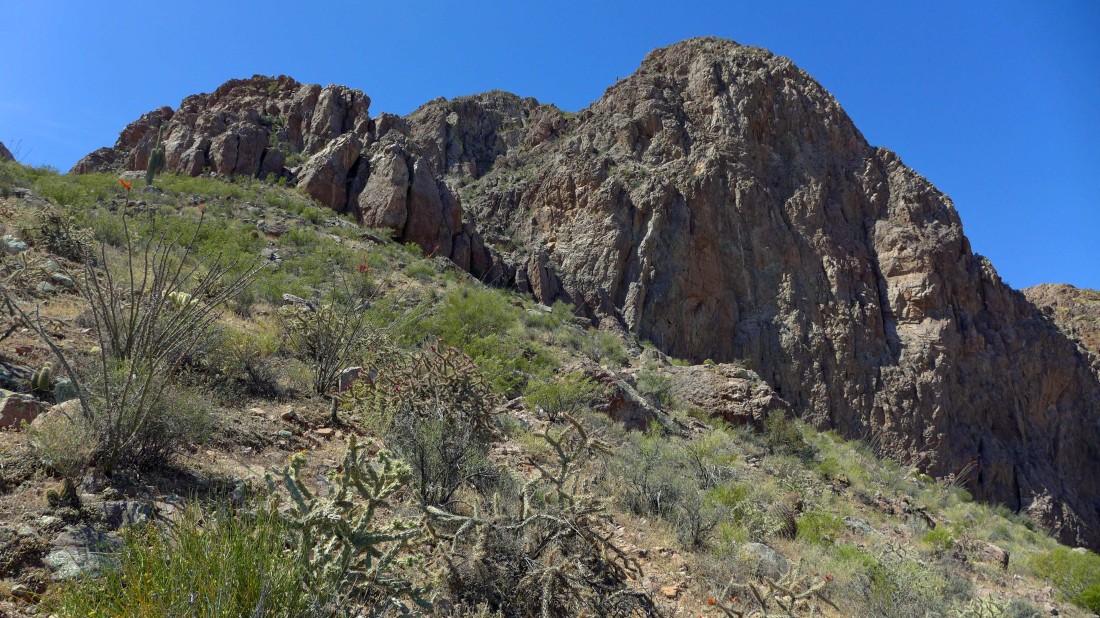
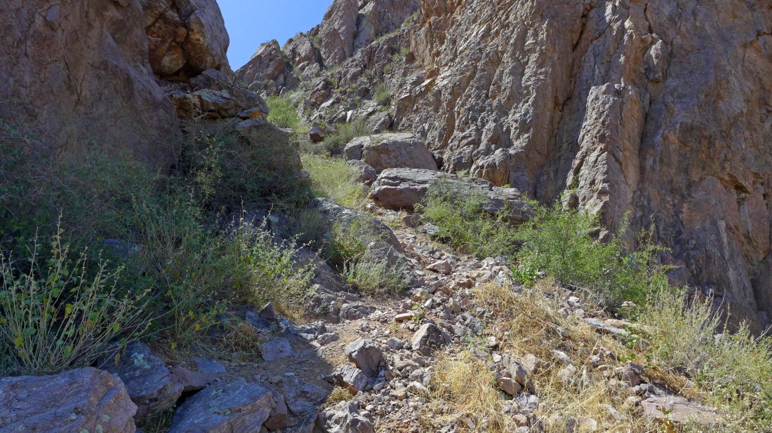
Nearing the summit block... a path leads us toward the gully in the center of the photo... note that this is not the way you want to go... you should follow the path to the left and go around to the south side of the peak to reach the summit.
|
The path is drawing us in... we are off route.
|
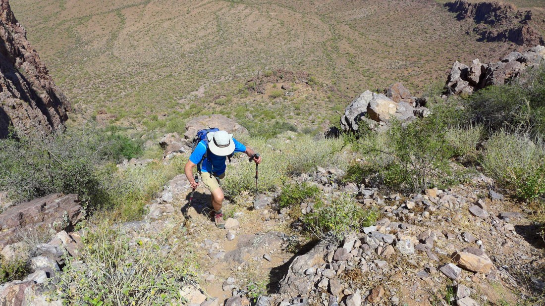
Very steep... we are off route.
|
If you are on the correct route, you will never have to do anything like this.
|
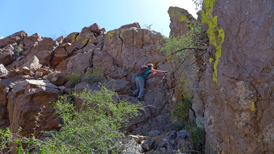
Talk about a dead end... well, this is it.
|
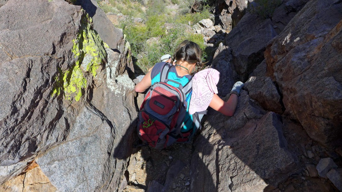
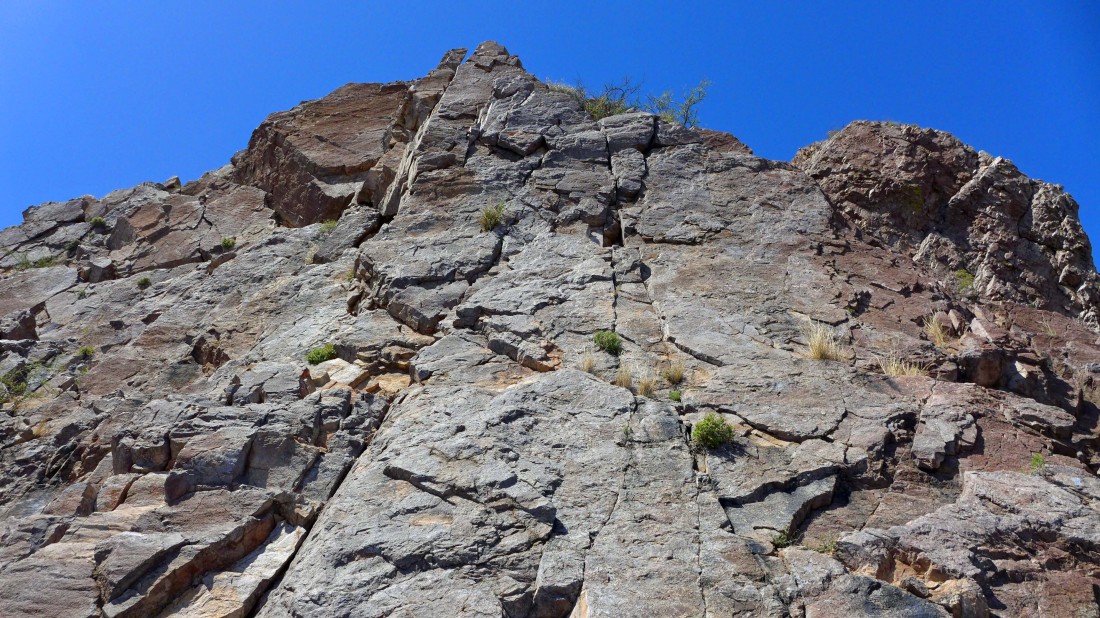
Heading back down after finding Class 5 climbing above us.
|
Giving back 200 feet of steep, wasted elevation gain.
|
We came down the steep section one person at a time so that we wouldn't kick loose rocks down on each other.
|
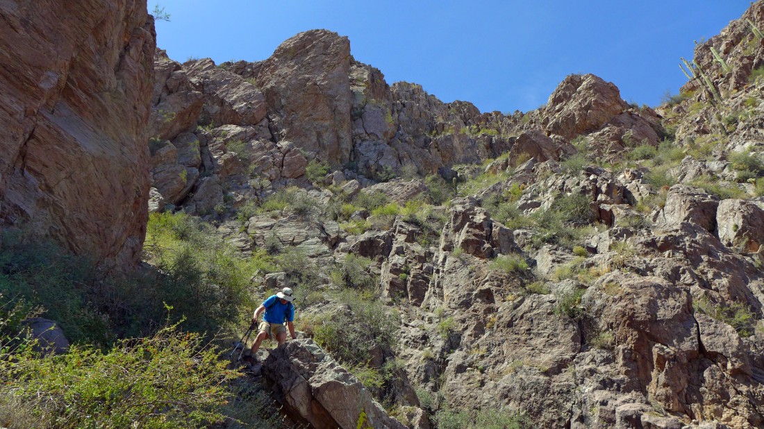
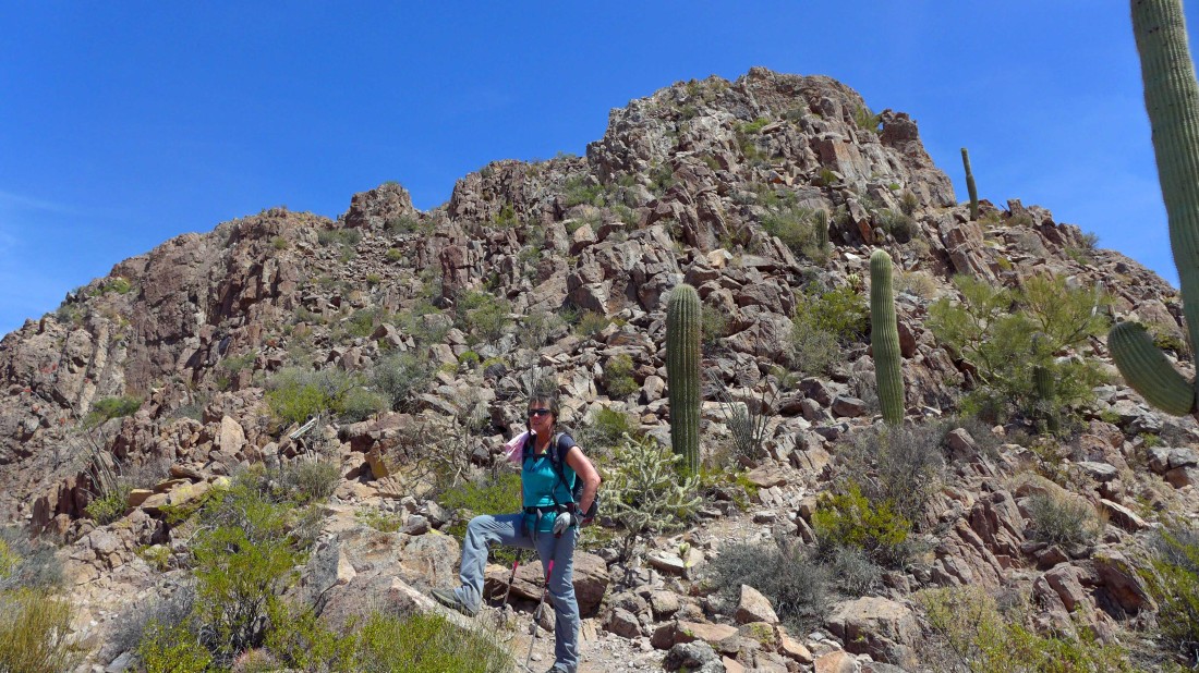
Back on the correct route now... working our way around to the south side of the peak on good trail.
|
It might look a little rugged, but the trail is just fine.
|
The summit is up there on the right somewhere.
|
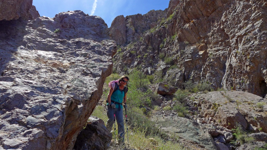
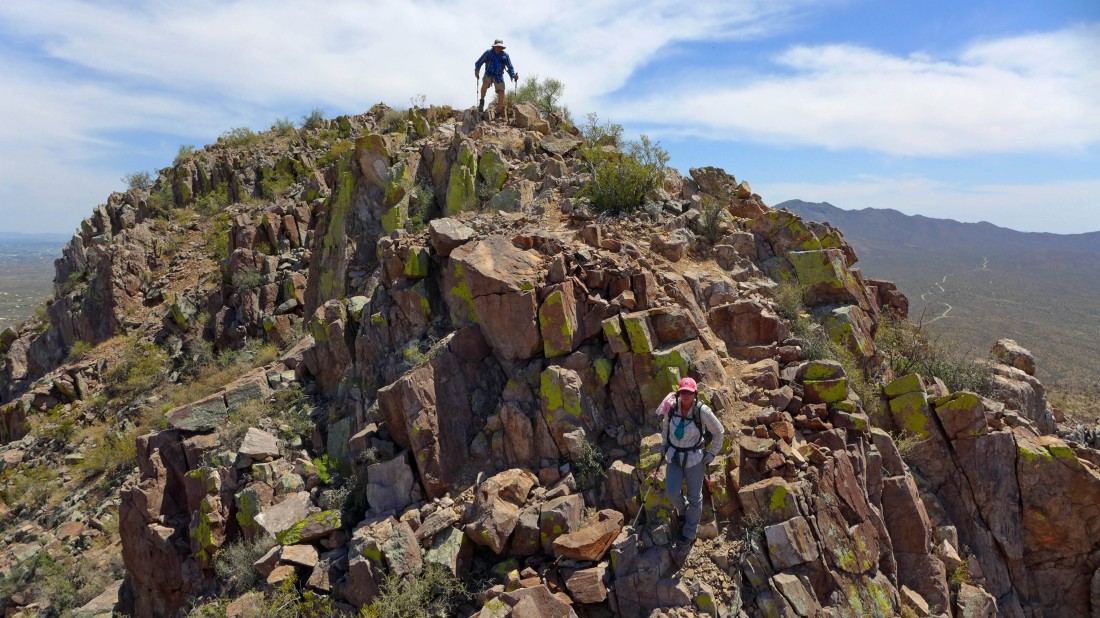
Continuing up on good trail.
|
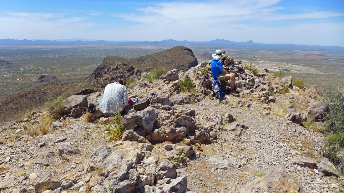
On the summit (3563') of Safford Peak... looking west to Panther Peak in the foreground... with the Roskruge Mountains, Pan Quemado Mountains and the Silver Bell Mountains on the horizon.
|
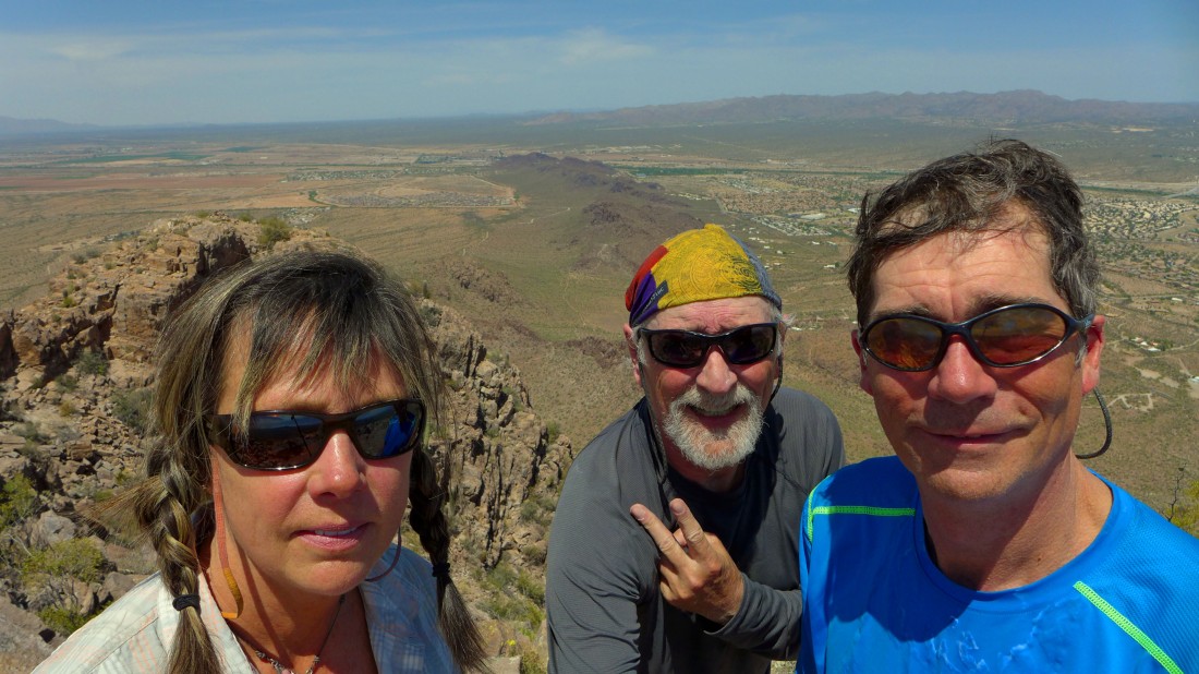
A selfie from the Safford Peak summit... with the Tortolita Mountains behind us.
|
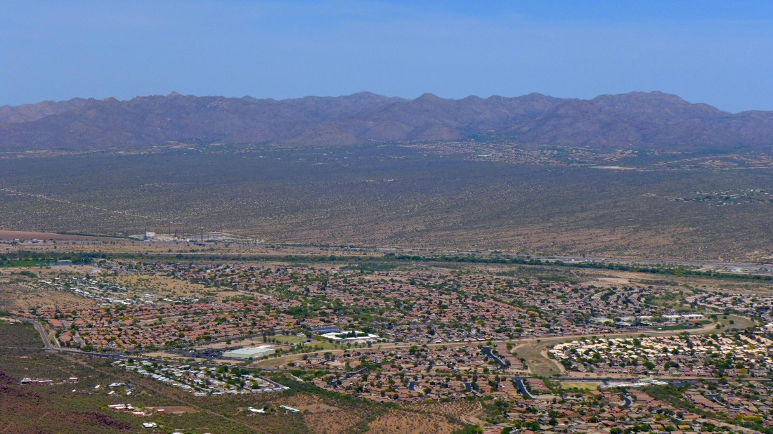
A closer look at the Tortolita Mountains... with the community of Dove Mountain at the base of the range.
|
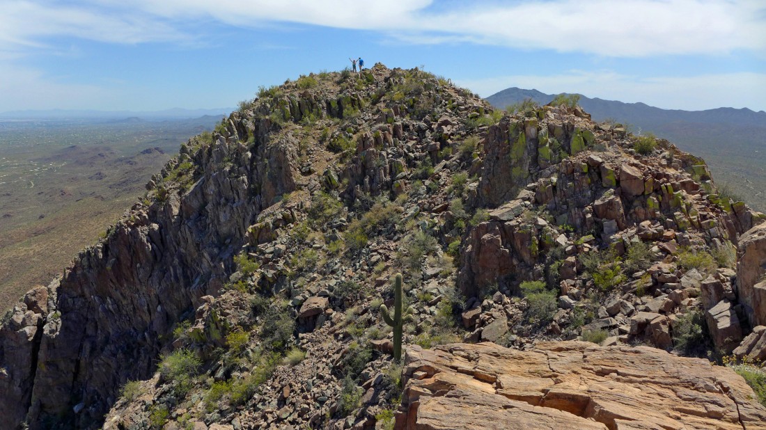
Locals refer to Safford as 'Sombrero Peak' because it resembles one from a distance... here I have hiked over to the other bump of the sombrero... looking back at Rob and Elle on the summit.
|
Time to head back down to the car.
|
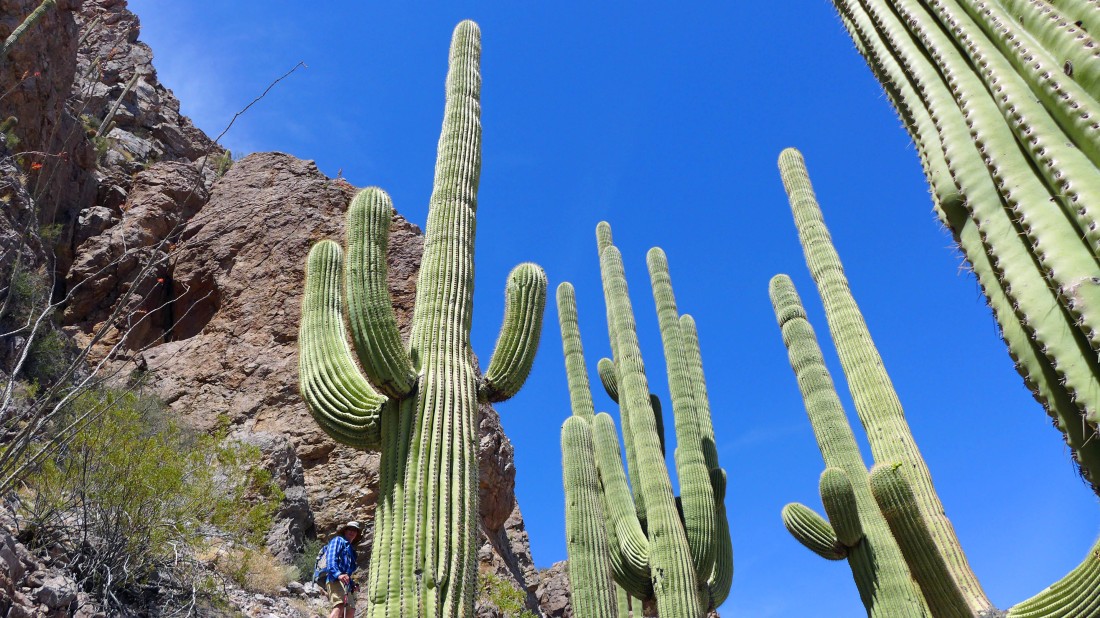
Love the saguaro cacti... this is a pretty easy hike/scramble if you stay on the correct route... the total for us was 3.3 miles roundtrip, gaining 1719 feet of elevation... if you use the correct route, it would be more like 3 miles, gaining ~1500 feet of elevation.
|
