Picacho Peak - 4.17.2017
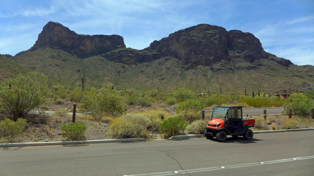
Picacho Peak from the Picacho Peak State Park Visitor Center... take Exit 219 off of I-10.
|
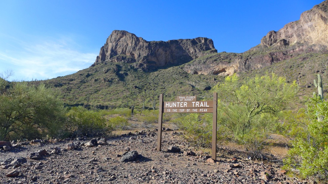
Park at the trailhead for the Hunter Trail... located in the Barrett Loop of the park.
|
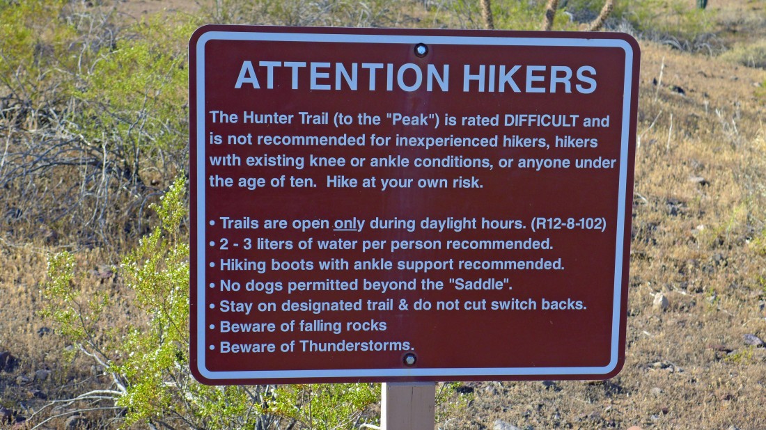
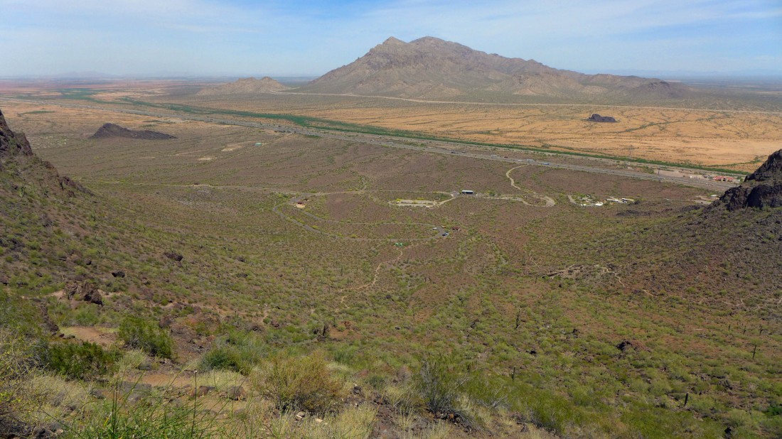
Food for thought.
|
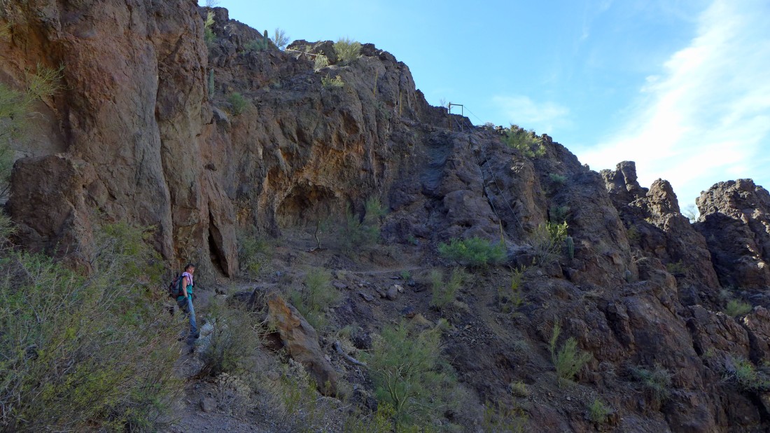
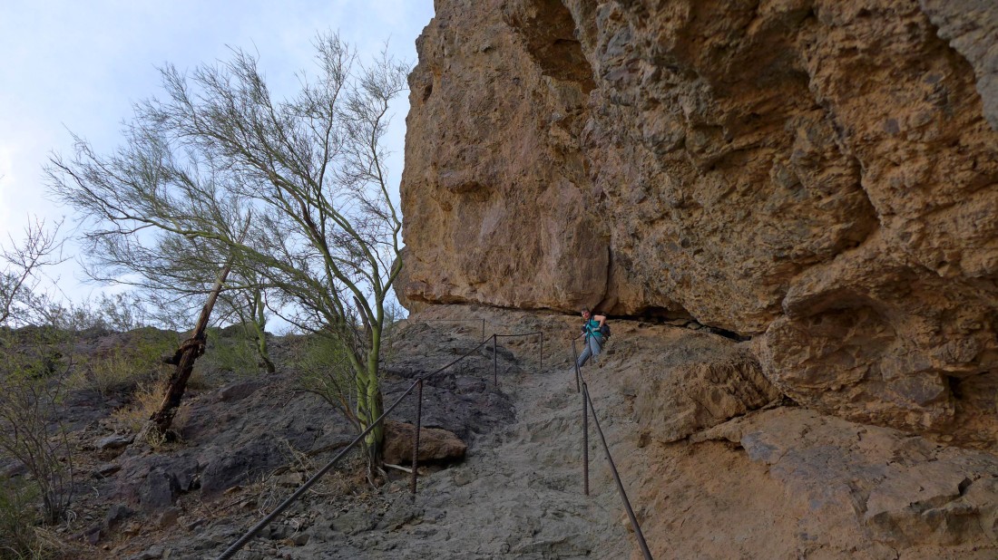
We had read about cables on the route... but we didn't expect to find a cable this far below the summit.
|
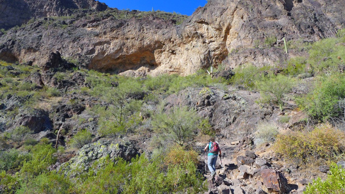
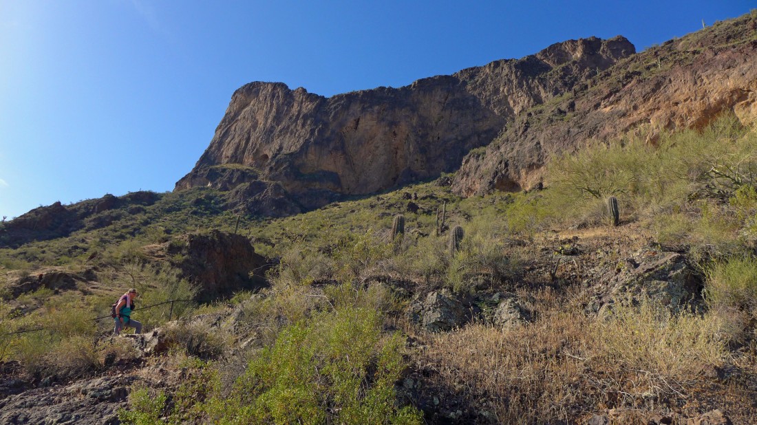
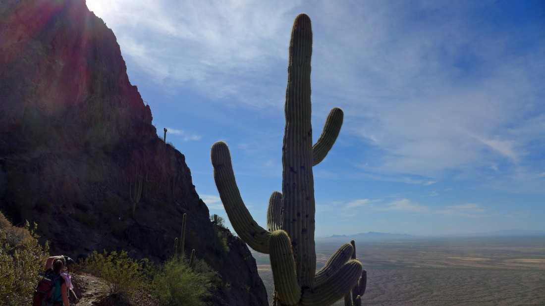
Hiking toward the large, light brown section of the wall below the saddle.
|
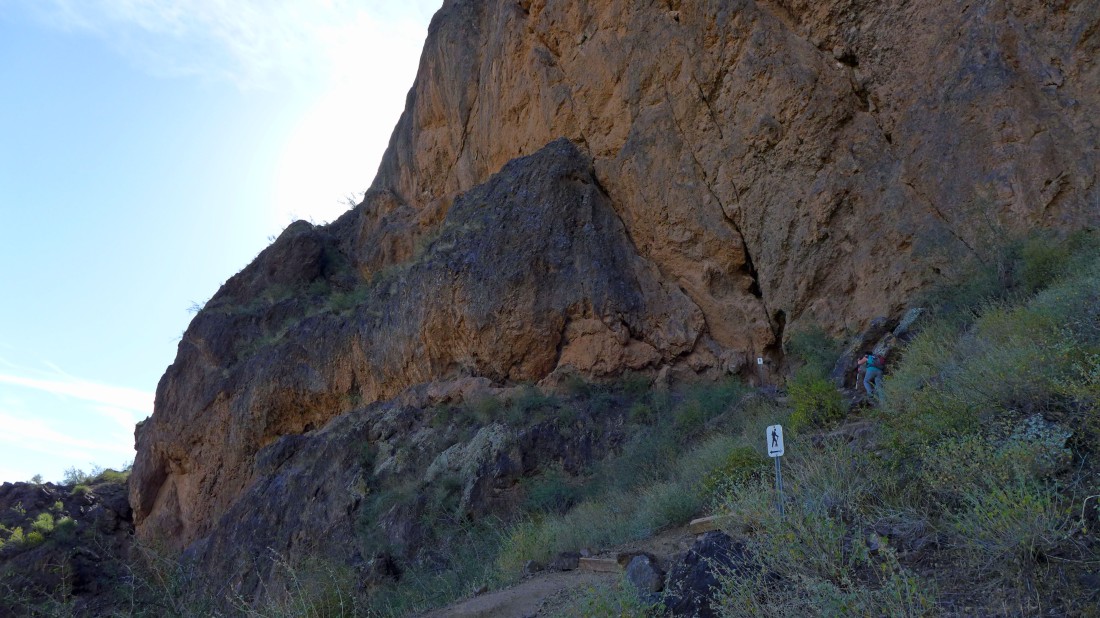
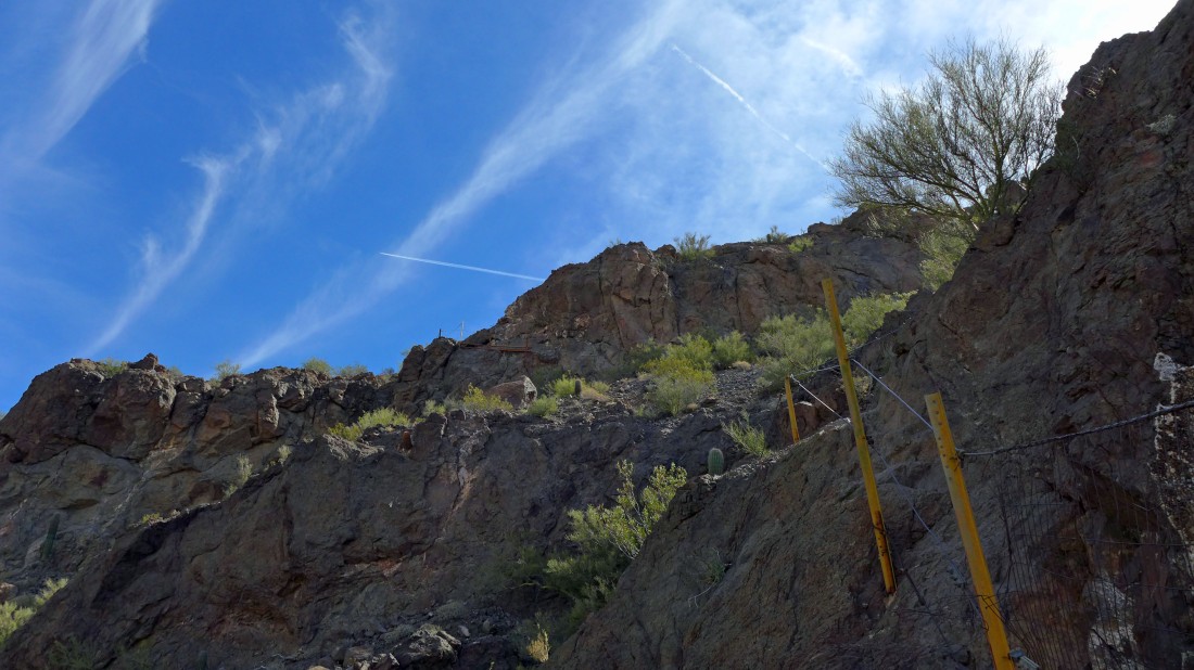
Now the trail bends toward the big wall below the summit.
|
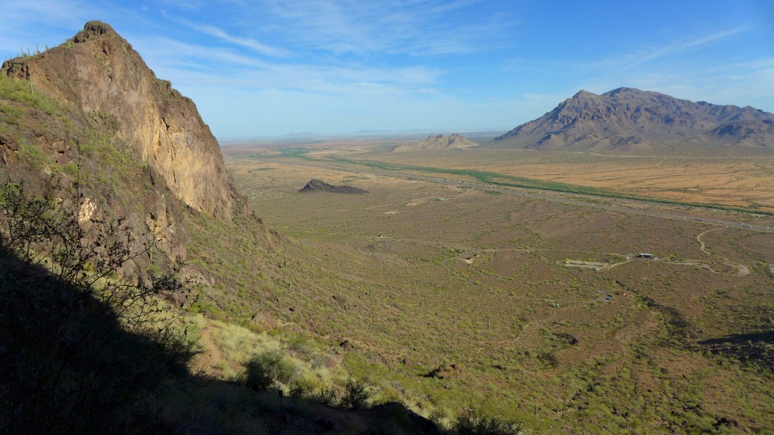
When the trail meets the big wall below the summit it switchbacks and goes up to the saddle between the Picacho summit and the high point (far left in photo) on Razorback Ridge... with the Picacho Mountains on the far right.
|
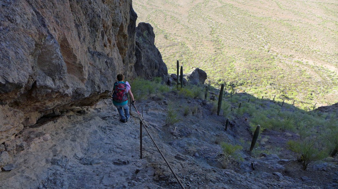
We have to give back 250 feet of elevation after crossing over the saddle... cable is available for all 250 feet.
|
After giving back the 250 feet of elevation we start to head uphill again... heading for the small saguaro cactus on the cliff above.
|
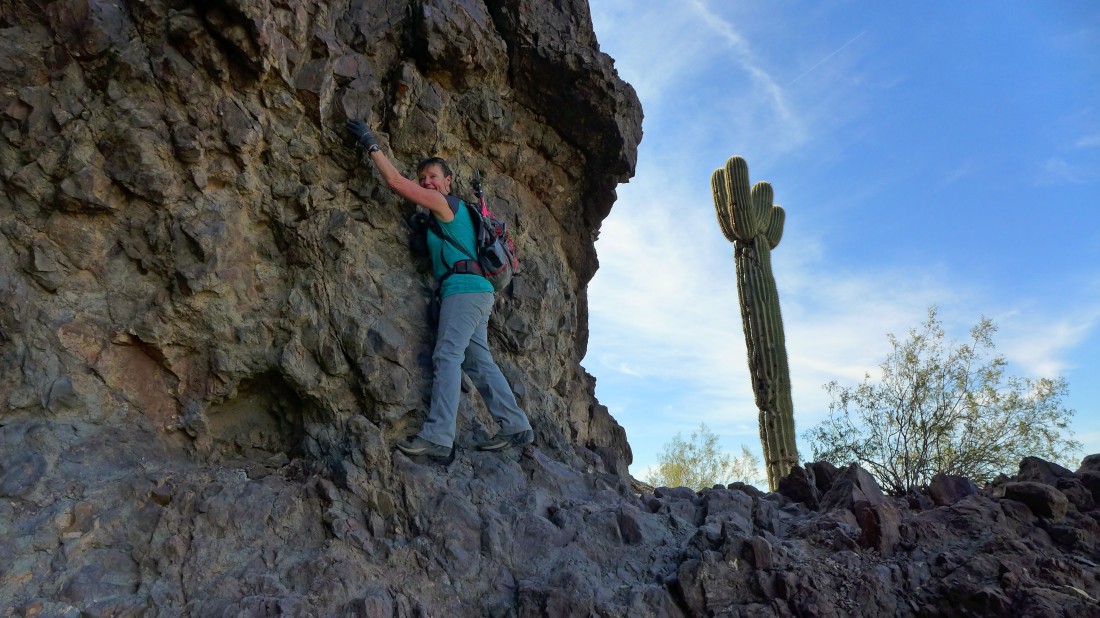
This is totally staged... Elle's smile gives it away... the route continues past the saguaro.
|
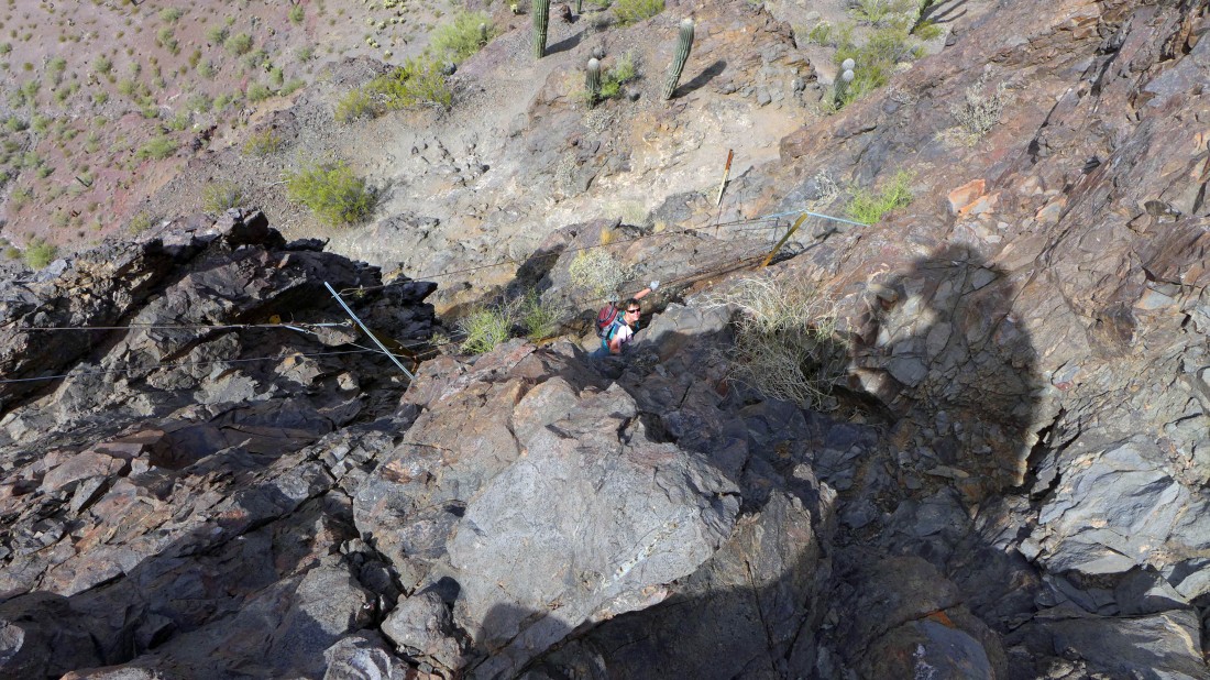
Cables and netting help out here.
|
More cables... the summit is up there somewhere on the right.
|
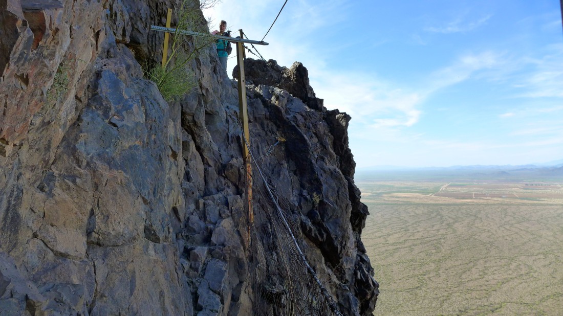
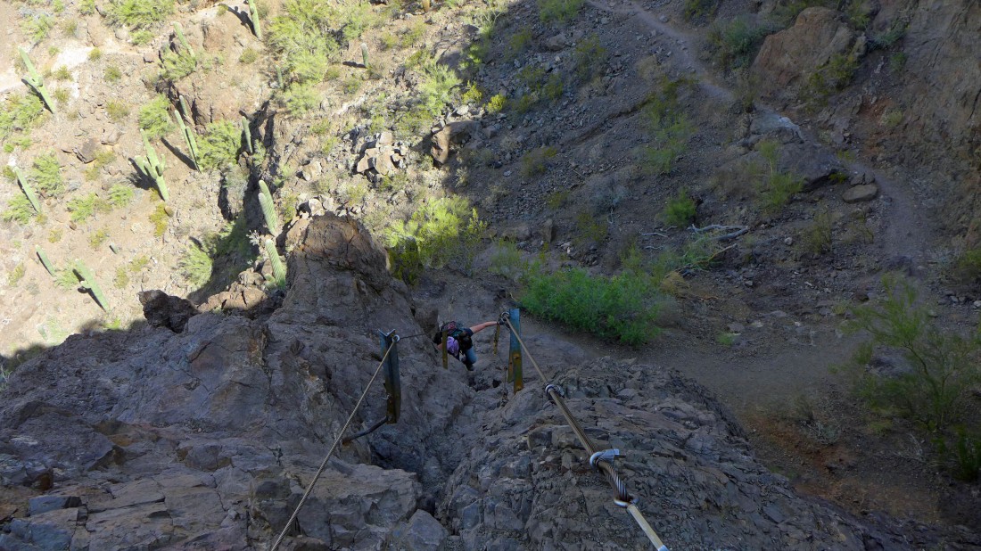
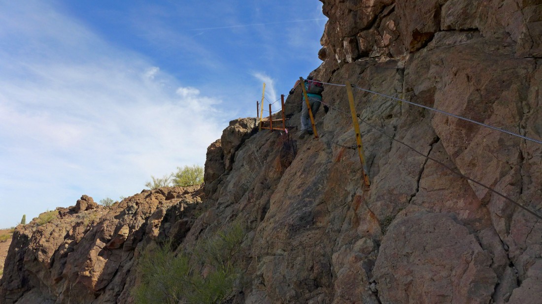
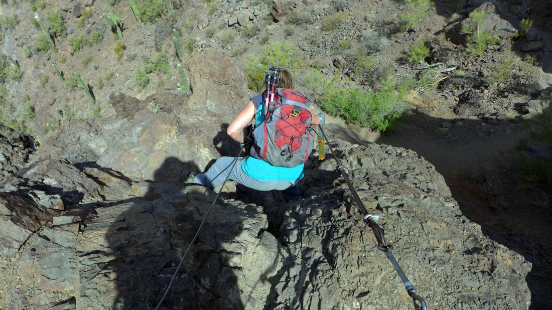
Coming up to the hardest of the cabling.
|
Above the hardest part... looking at the cables above.
|
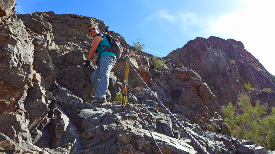
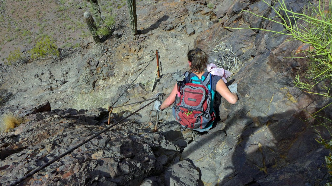
Elle just starting up the hardest section of cables.
|
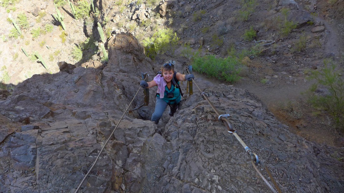
Using both hands here.
|
No more cables from here to the summit.
|
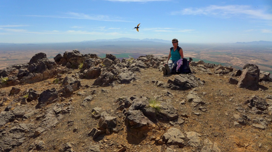
Elle on the summit... and a dive-bomber bird... the Santa Catalina Mountains on the horizon.
|
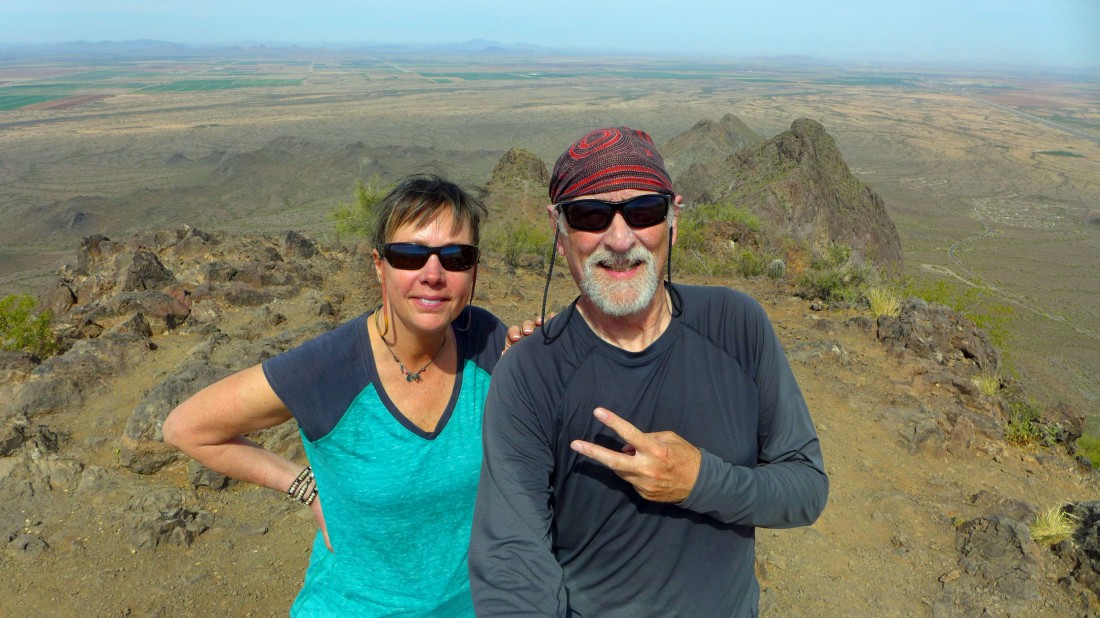
A selfie on the Picacho summit (3370')... the high point (3161') on Razorback Ridge is behind my left shoulder.
|
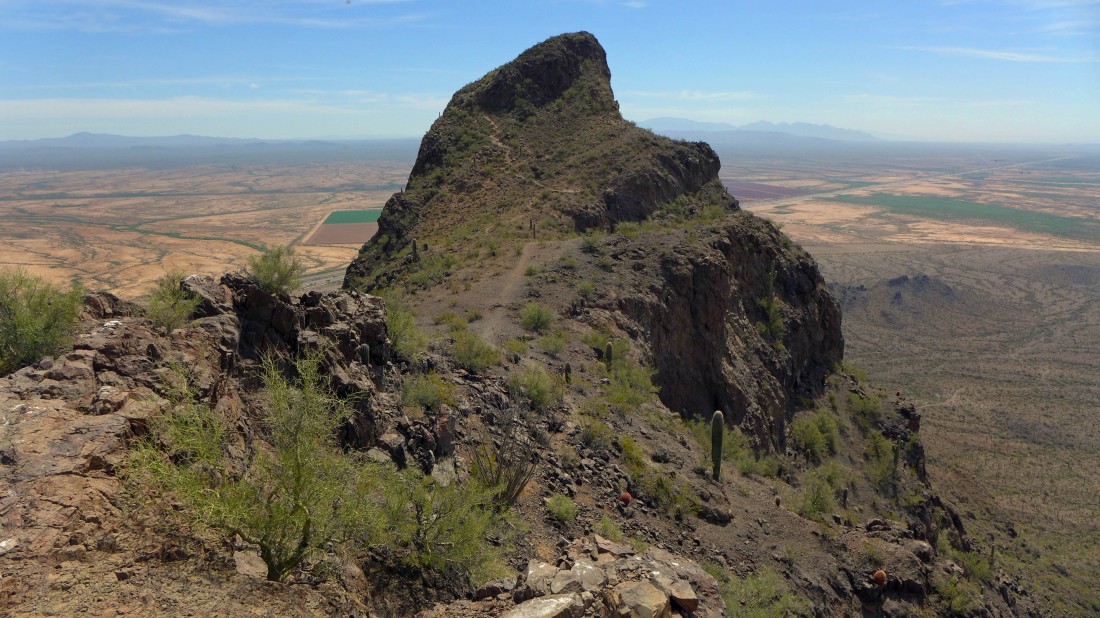
Looking at Picacho Peak from the little bump just west of it.
|
Heading back down the cables.
|
Elle is down there somewhere.
|
Lots of cables.
|
Almost back to the saddle between the Picacho summit and Point 3161 on Razorback Ridge.
|
At the saddle... looking at our route back to the car... the entire trip was 3 miles roundtrip, gaining 1719 feet of elevation.
|
