Pusch Peak - 4.25.2017
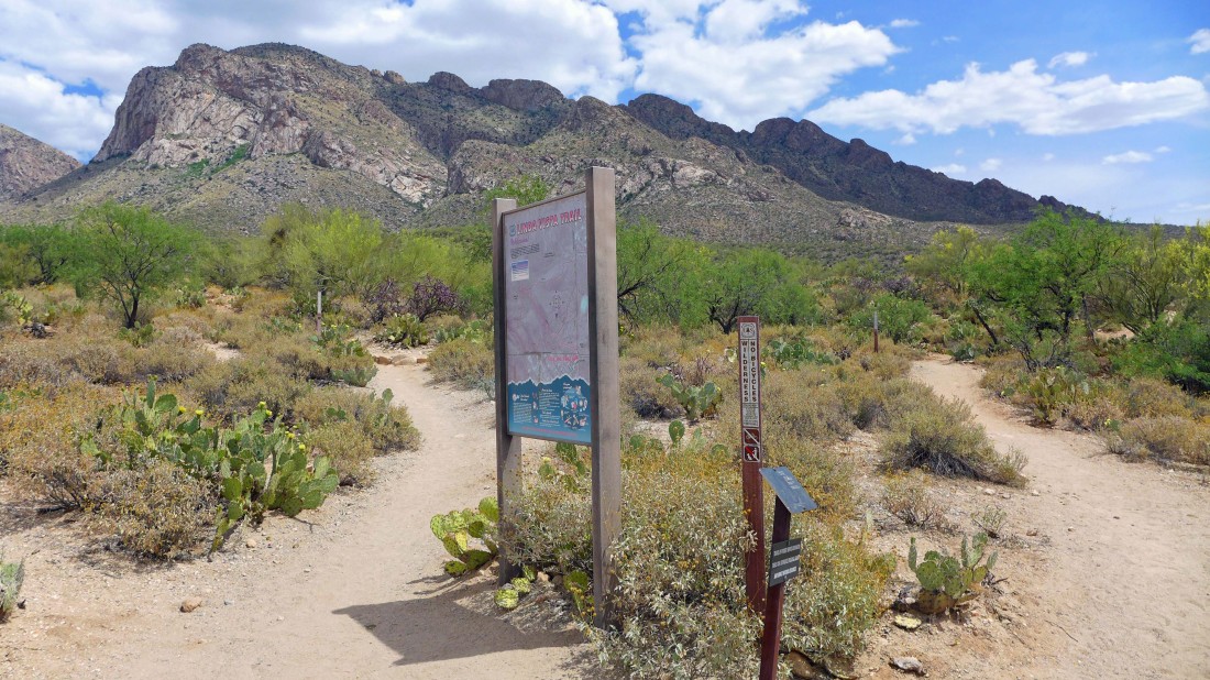
We started this hike at the Linda Vista Trailhead... you won't see much information on Pusch Peak... but take the trail to the left of sign.
|
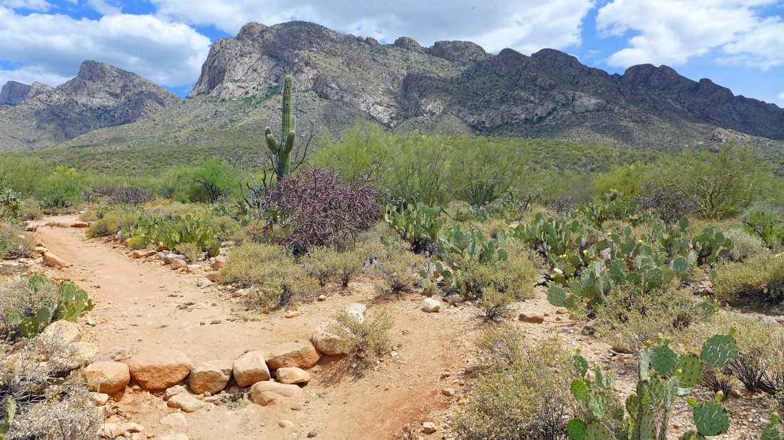
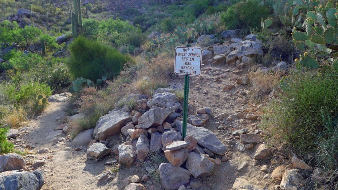
We didn't hike far before stepping over the pile of rocks and continuing on the well worn path.
|
Leaving the beaten path and continuing on a less-traveled path.
|
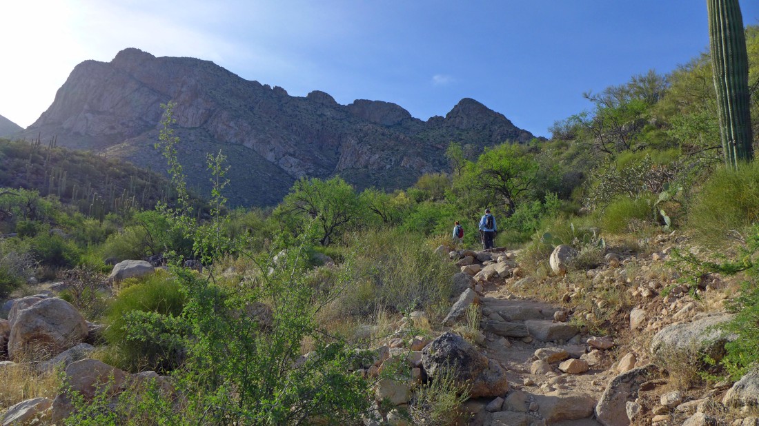
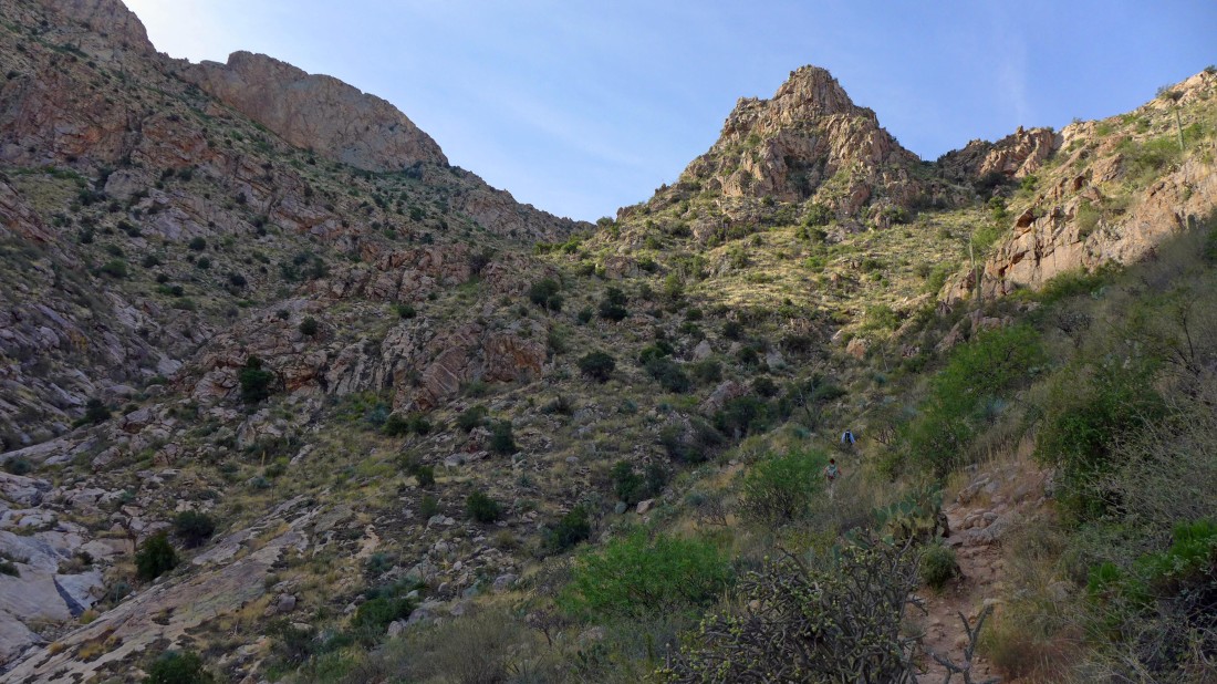
We are heading directly for the canyon in the center of the photo.
|
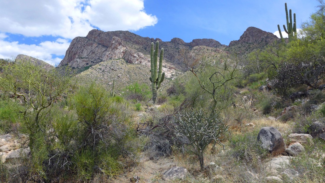
The Pusch Peak summit is somewhere up there above the saguaro cactus in the center of the photo.
|
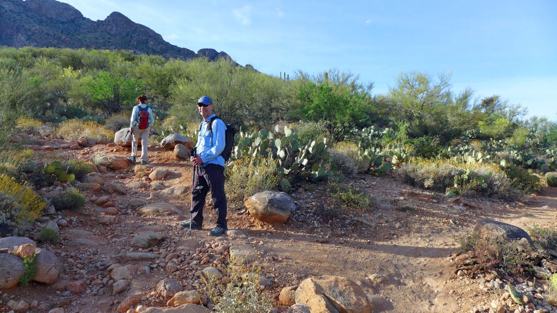
Leaving the maintained trail and heading up on an obvious, but unmaintained trail.
|
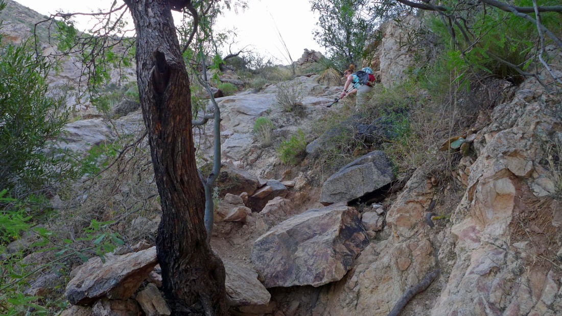
This path is very steep... gaining ~2000 feet of elevation in ~1.5 miles after we left the maintained trail.
|
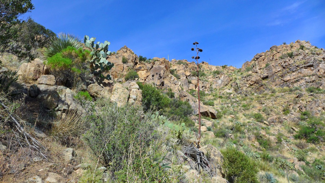
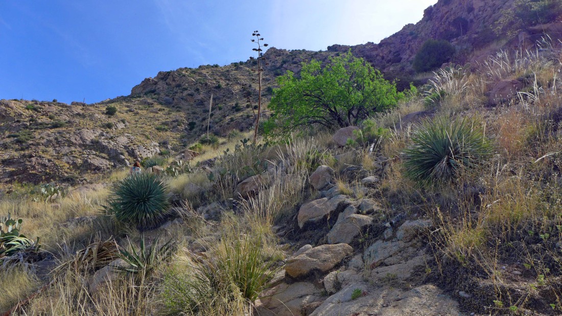
A variety of cacti are waiting for you on this hike... agave, cholla and prickly pear... with the ocotillo plants tossed into the mix for fun.
|
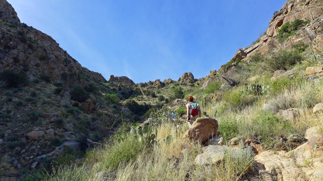
Continuing up the canyon on the steep path.
|
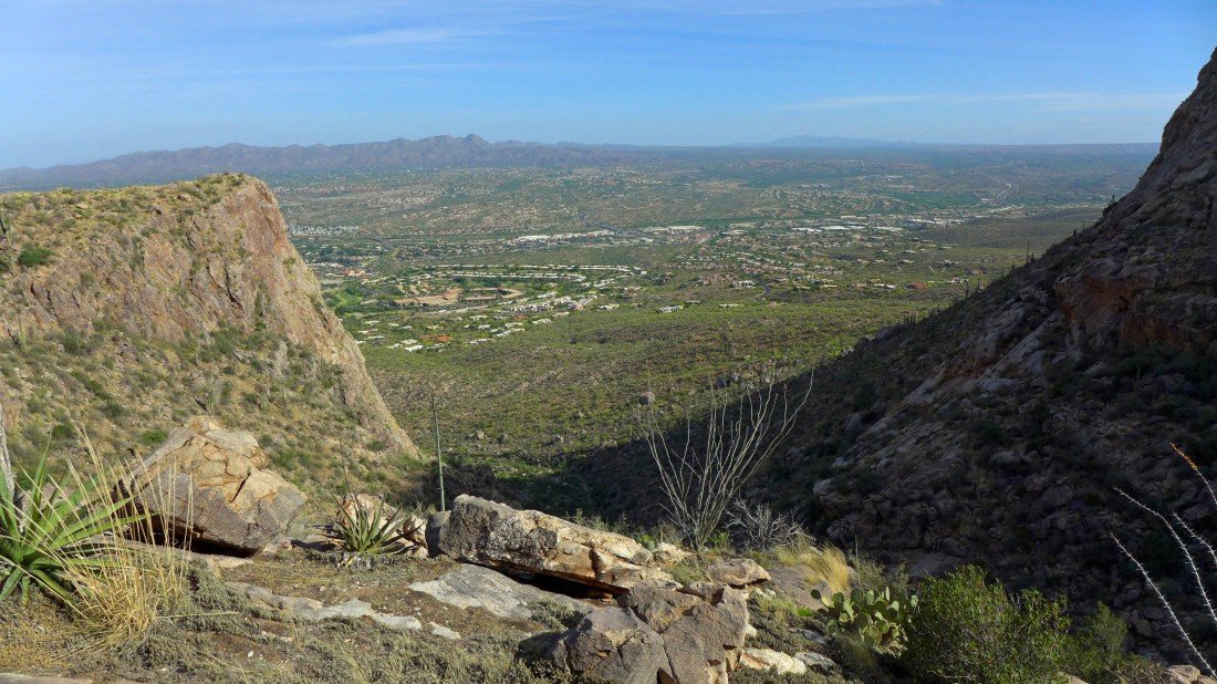
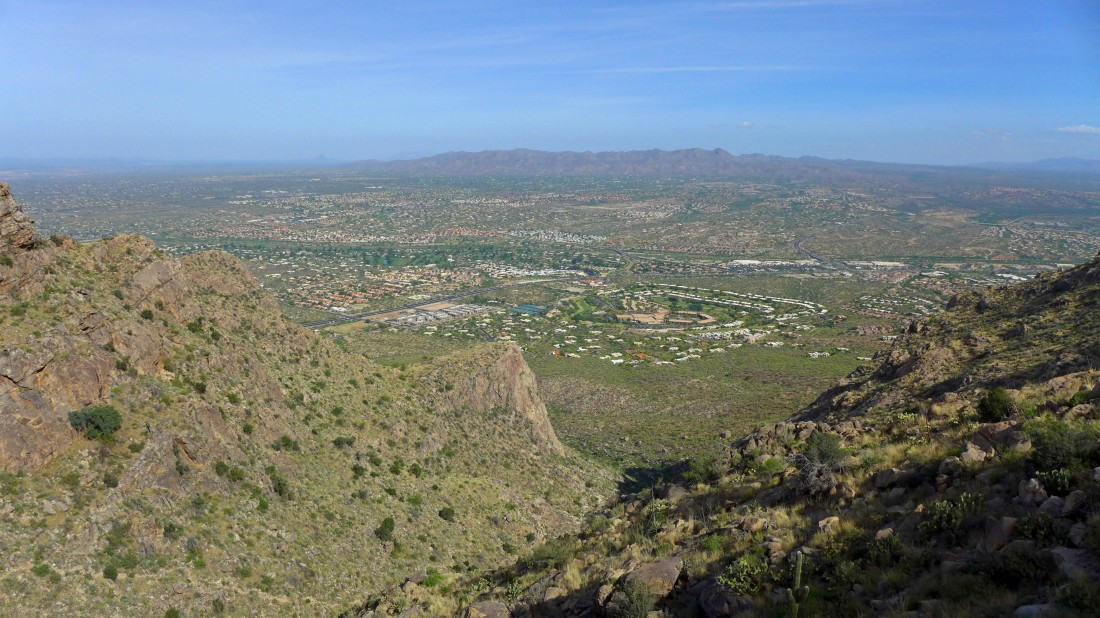
Gaining elevation and looking back on Oro Valley... with the Tortolita Mountains on the left horizon.
|
Continuing up... will we ever reach the ridge?
|
Gaining elevation and getting deeper into the canyon.
|
Looking up at the ridge.
|
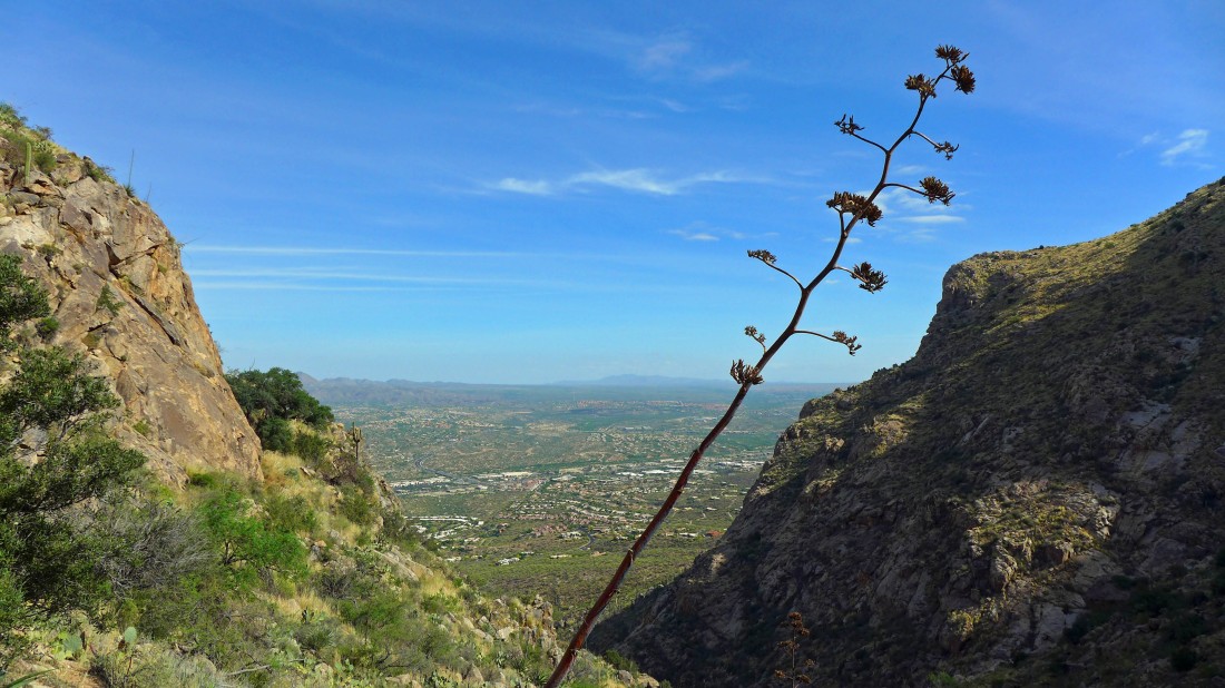
Up and up... looking out to the Tortolita Mountains.
|
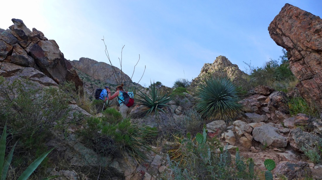
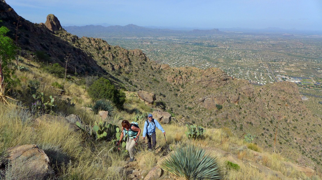
Heading for easier terrain on the left.
|
Up... with the Tucson Mountains visible on the left horizon.
|
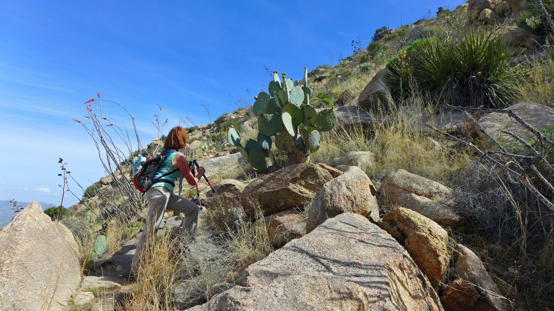
Still working our way over to the ridge... between an ocotillo plant and a prickly pear cactus... make yourself small as you pass between them.
|
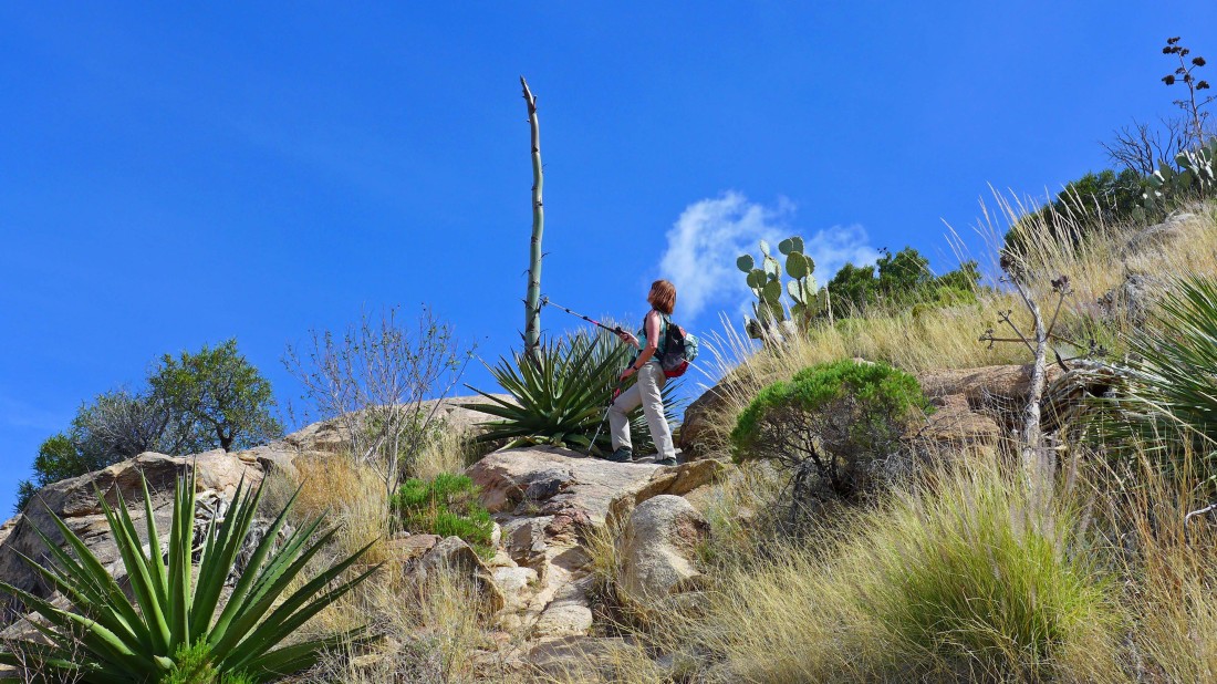
Barb has found an agave cactus in its prime.
|
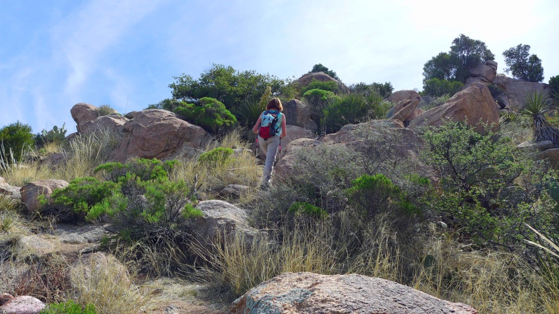
The terrain eases a bit after reaching the ridge.
|
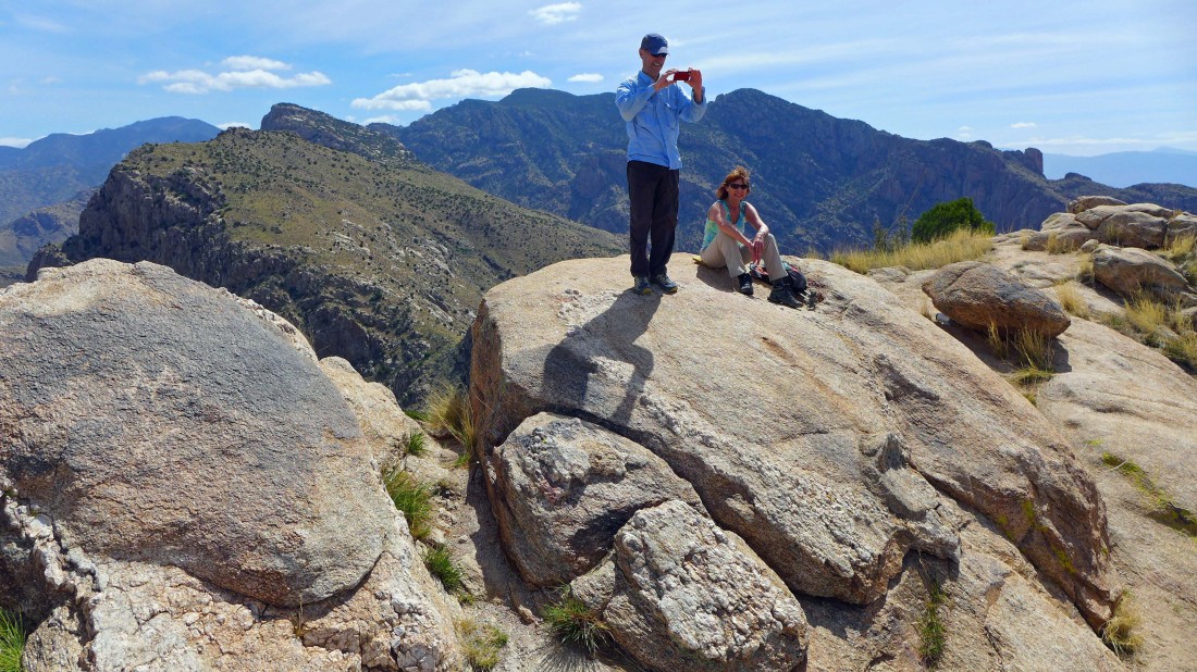
Tom and Barb on the Pusch Peak summit (5361').
|
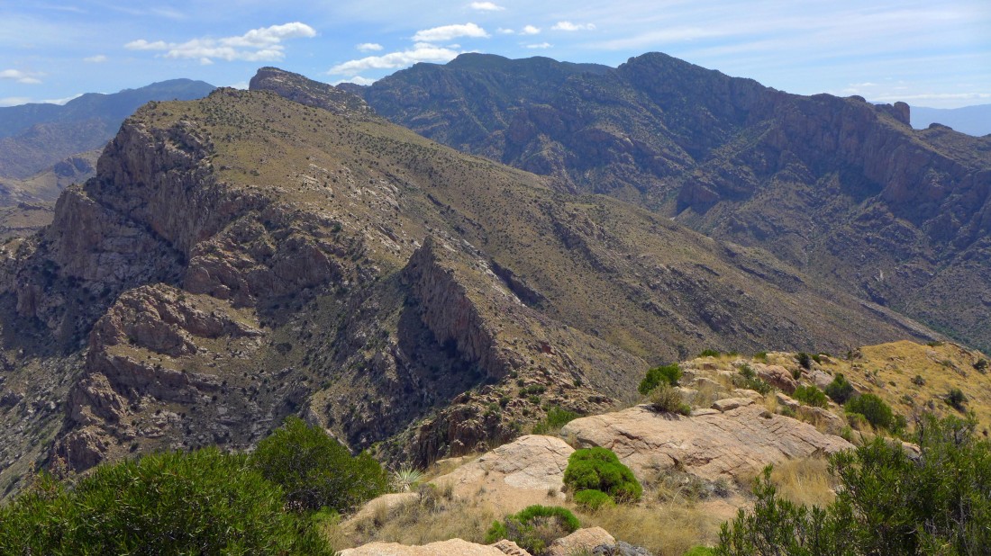
Bighorn Mountain and Table Mountain are in the left foreground... just beyond the pointy thing... with Mt. Kimball beyond and to the right.
|
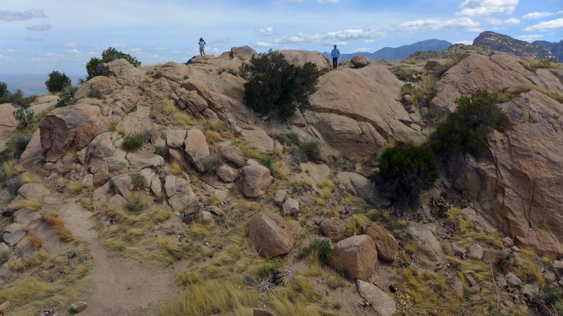
Lots of room to roam around on the Pusch Peak summit area.
|
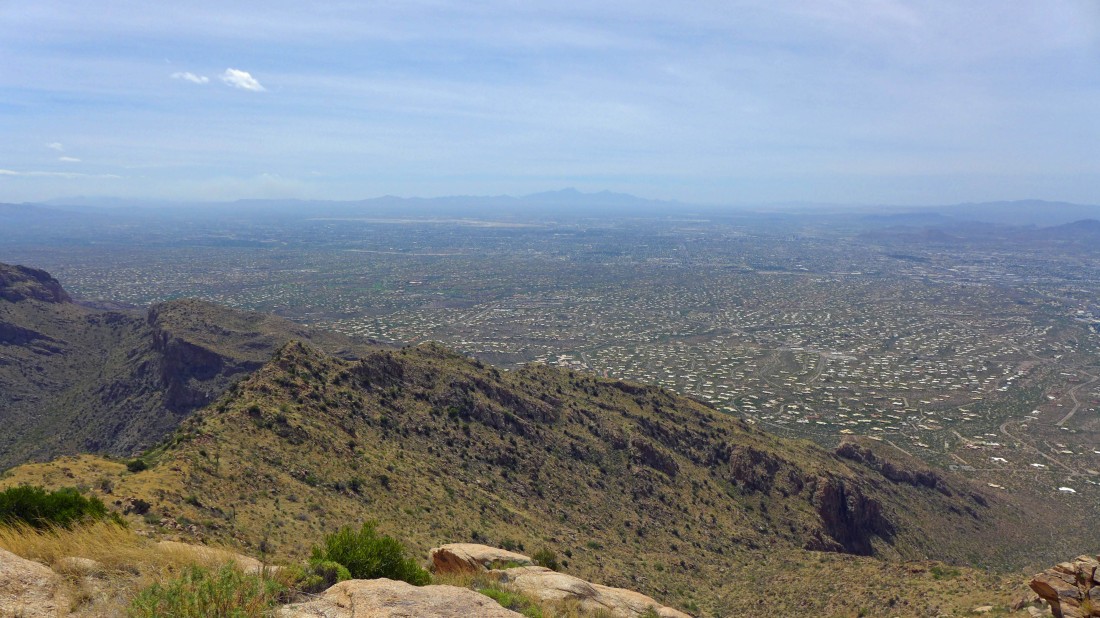
Looking down the SE ridge of Pusch Peak... across the city of Tucson to the Santa Rita Mountains on the horizon.
|
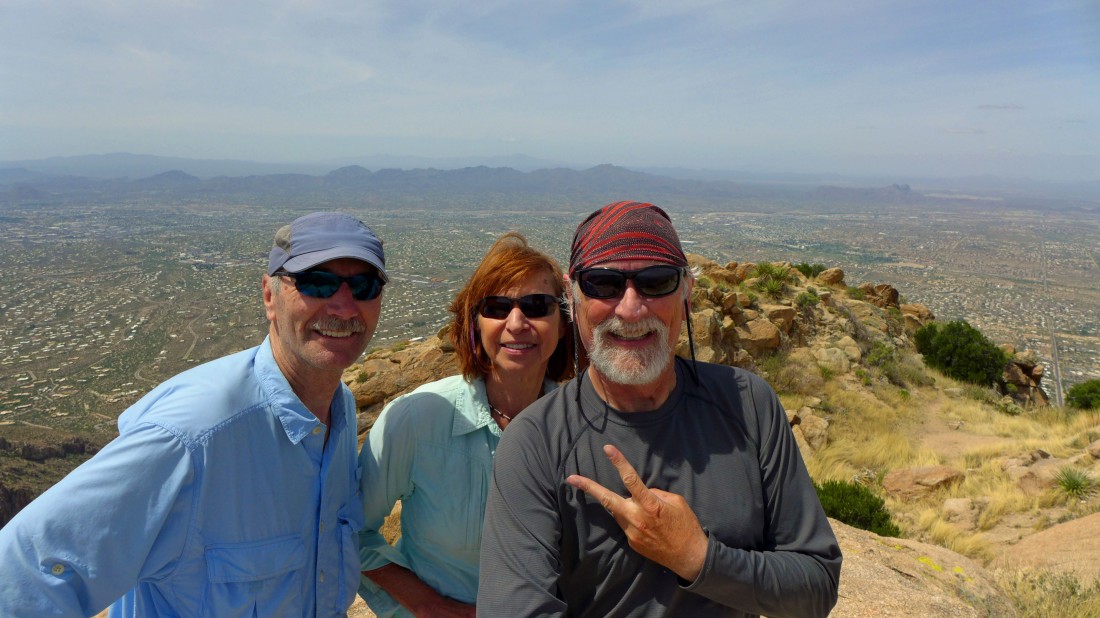
A selfie from the Pusch Peak summit... with the Tucson Mountains on the horizon.
|
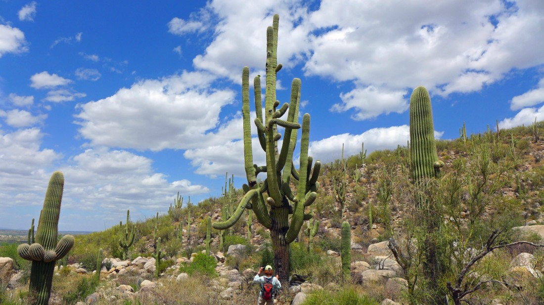
On the way back to the car we took a closer look at this saguaro cactus... the total hike was 4.6 miles roundtrip, gaining 2959 feet of elevation... however, you can save a little mileage and 200 feet of elevation if you choose to not explore the SE ridge of Pusch Peak.
|
