Prospects Hill - 7.12.2017
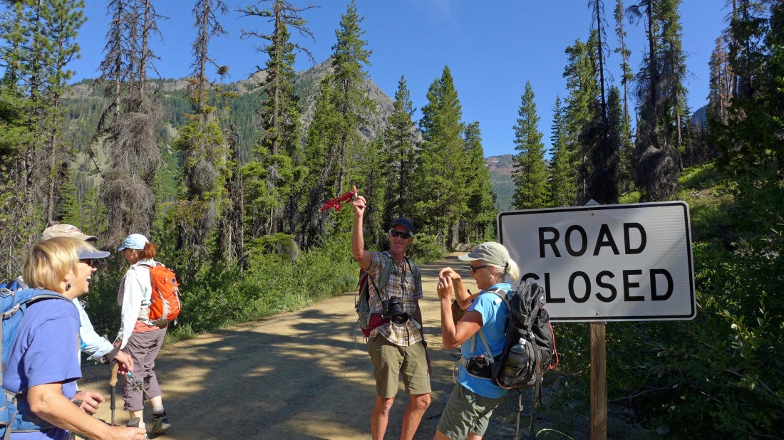
FS-9737 was closed at the Iron Peak Trailhead... leaving a 1.1 mile road walk to the trailhead... our hike today was 9.1 miles roundtrip, gaining 2219 feet of elevation.
|
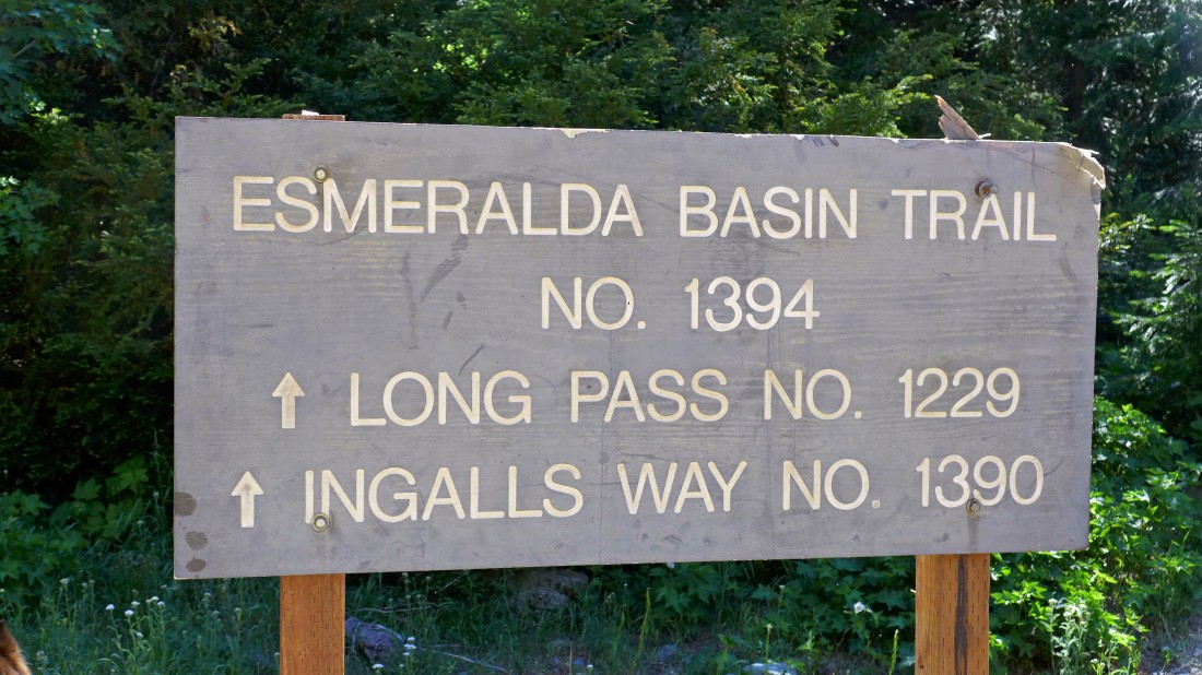
The Esmeralda Basin Trailhead after hiking the road for 1.1 miles.
|
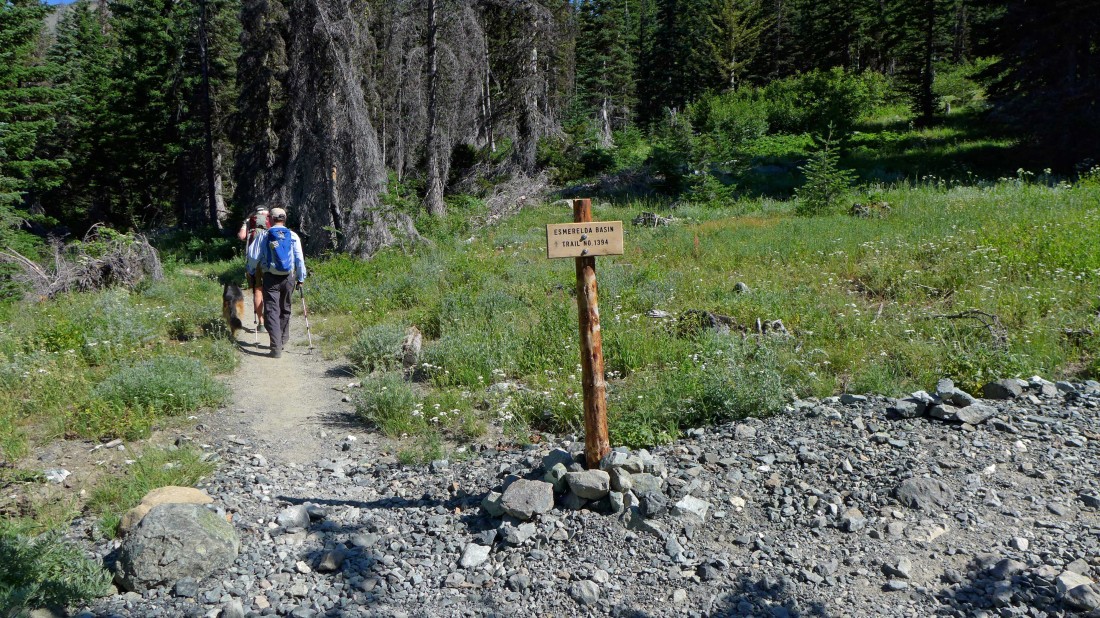
Continuing on Esmeralda Basin Trail #1394 after hiking a quarter-mile from the Esmeralda Basin Trailhead... if a person was going to Longs Pass or Ingalls Pass, they would turn right here on the unsigned Ingalls Way Trail.
|
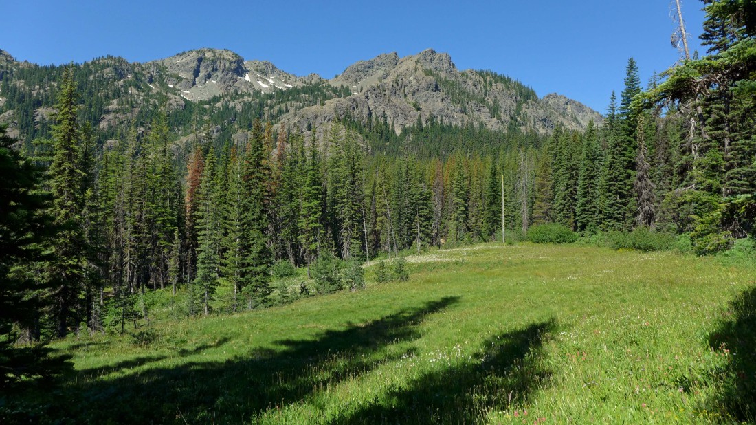
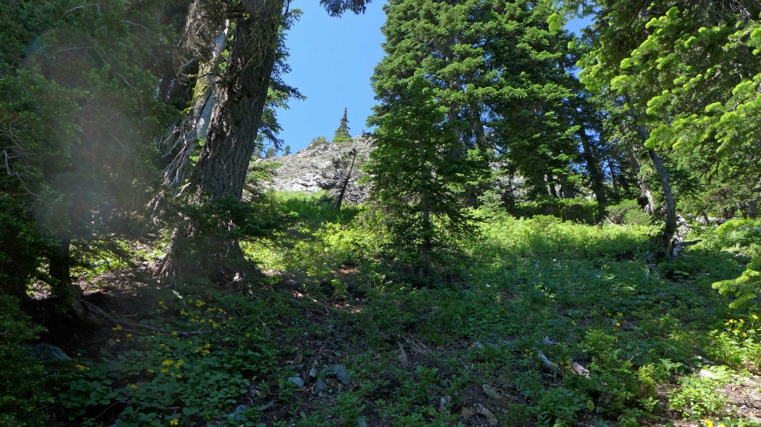
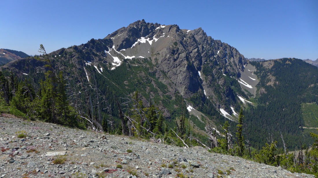
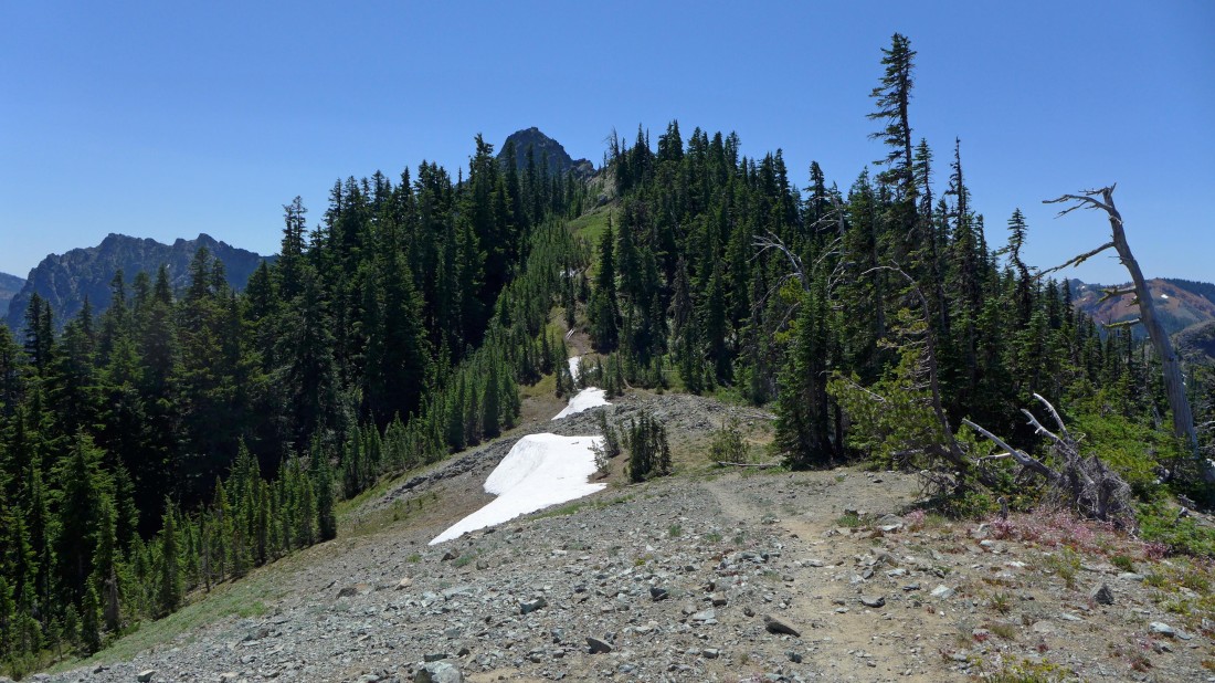
Heading for Fortune Creek Pass on the Esmeralda Basin Trail... here looking across a meadow to the north ridge of Esmeralda Peaks.
|
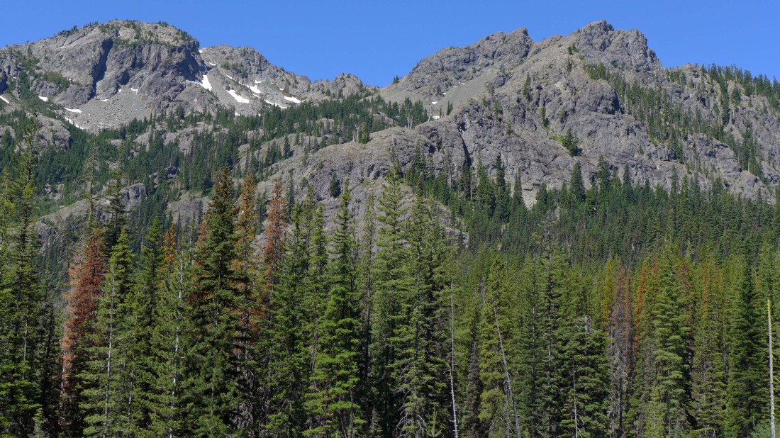
A closer look at the north ridge of Esmeralda Peaks.
|
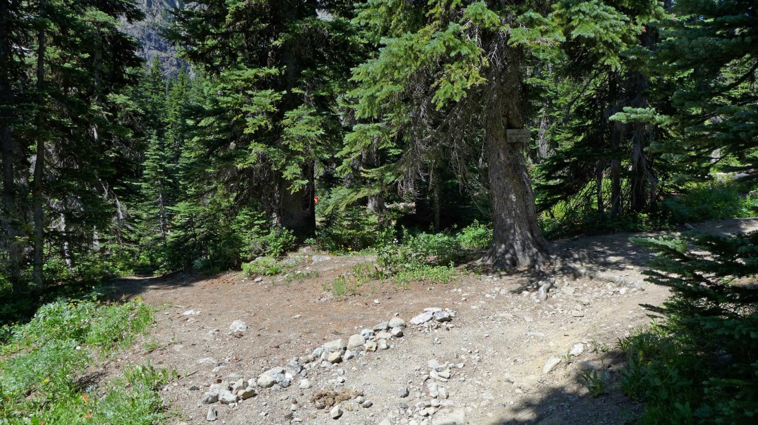
At ~5320 feet the main trail makes a switchback to the right... but we decided to step across the string of small rocks and investigate the obvious path going off to the left.
|
After hiking a short distance off the main trail we found several horse camps.
|

Exploring a short distance beyond the horse camps we found an abandoned mine.
|
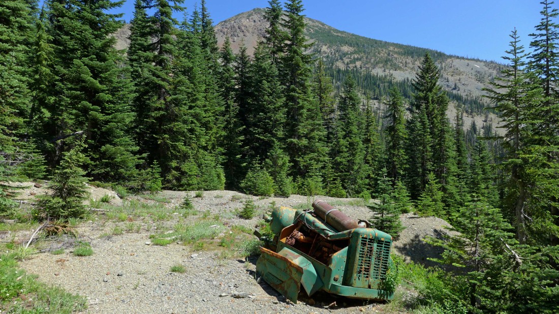
Exploring a bit higher from the abandoned mine we found another abandoned mine... with Fortune Peak in the distance beyond the trees.
|
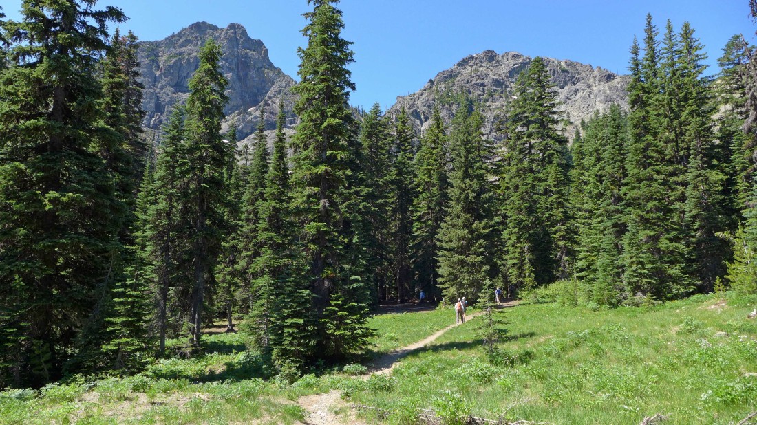
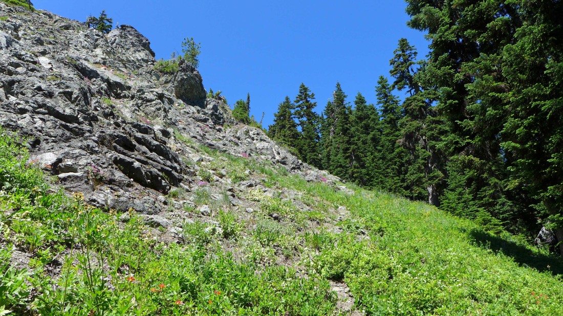
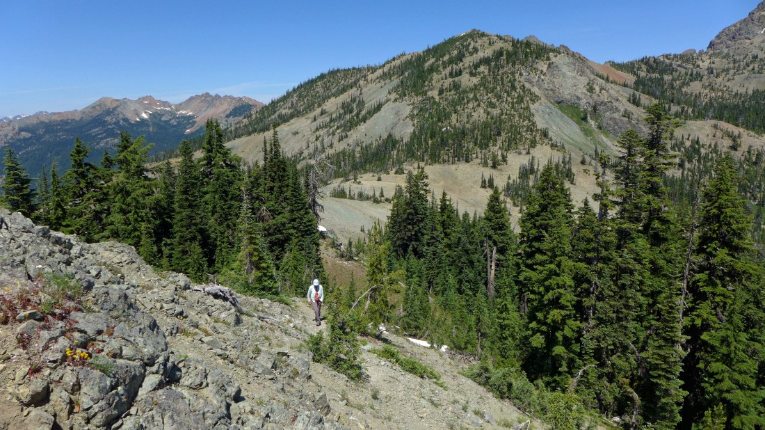
While the others decided to return to the main trail and follow it up to Fortune Creek Pass, I decided to continue off trail and take a more direct line to the pass... a bit steep, but not very difficult.
|
At ~5720 feet I found an obvious path that looked like it might lead me over to Fortune Creek Pass... so I followed it.
|
As the path led me closer to the pass the terrain became more gentle... South Ingalls Peak and Fortune Peak in the distance.
|
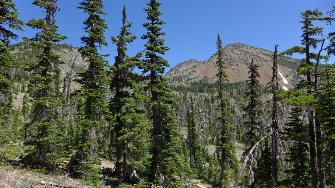
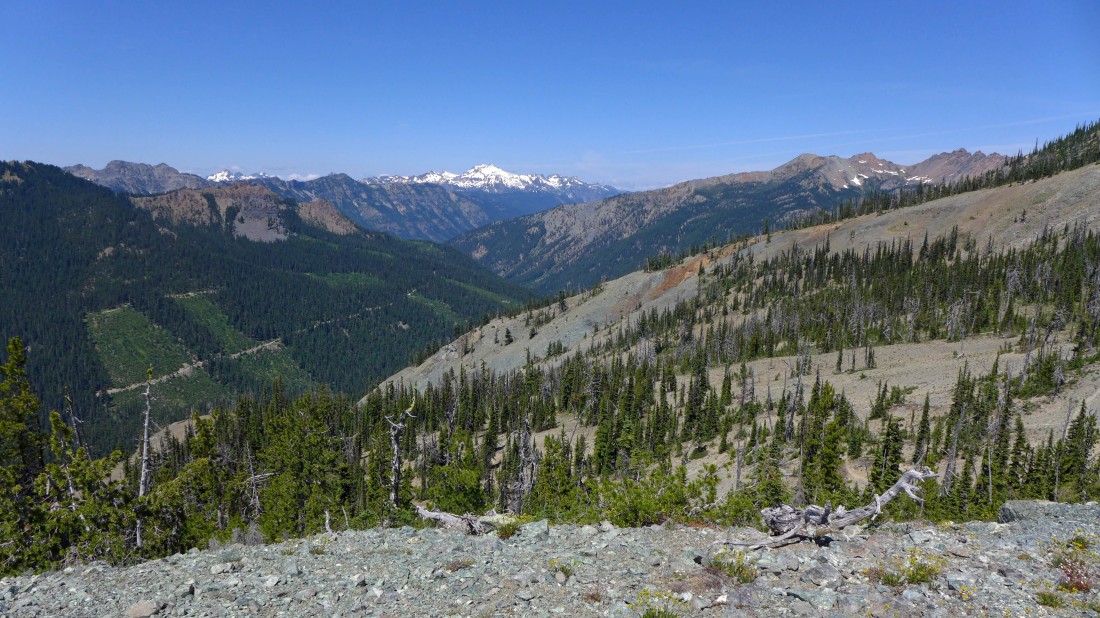
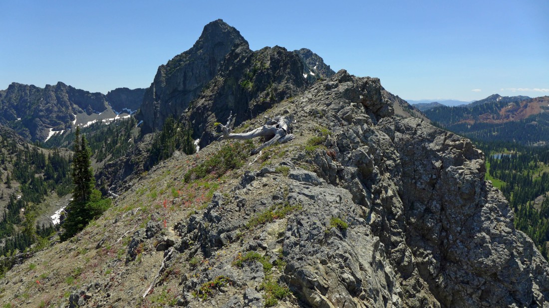
I have arrived at Point 6010 just above Fortune Creek Pass... Small Fortune (Point 6598) in the left foreground... with Fortune Peak (Point 7382) in the right foreground... and South Ingalls in the distance through the gap.
|
Hawkins Mountain from Point 6010.
|
Mt. Daniel (center) from Point 6010... with Scatter Peaks on the right.
|
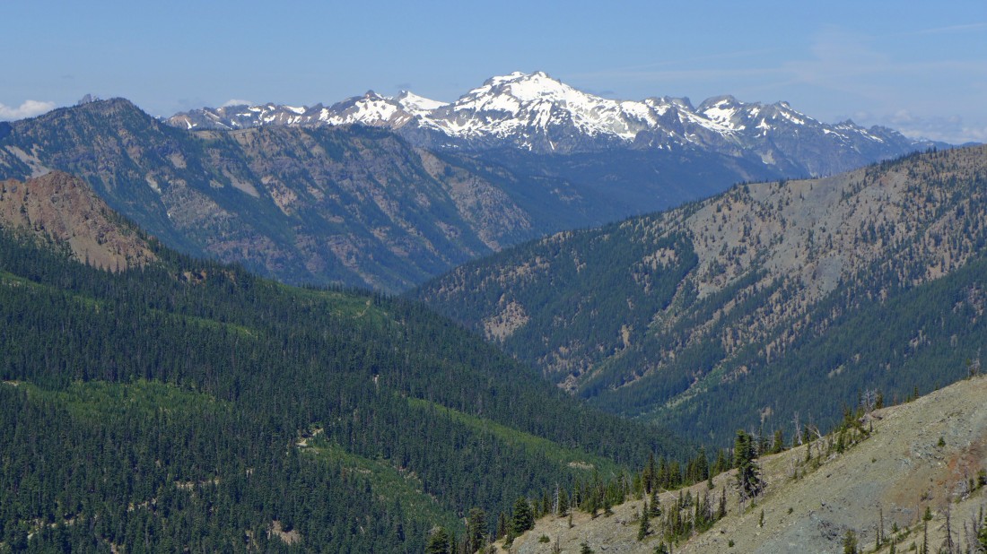
A closer look at Mt. Daniel from Point 6010.
|
A closer look at Scatter Peaks from Point 6010.
|
Standing on Point 6010... and looking at an obvious path heading up the north ridge of Esmeralda Peaks... lets go explore.
|
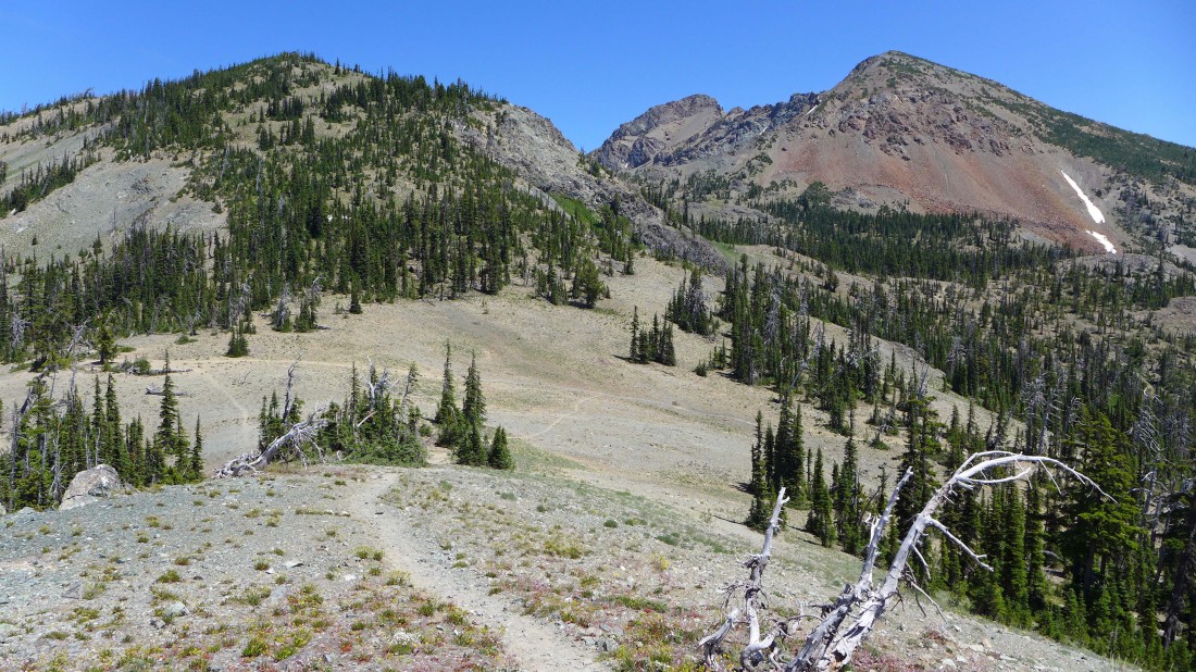
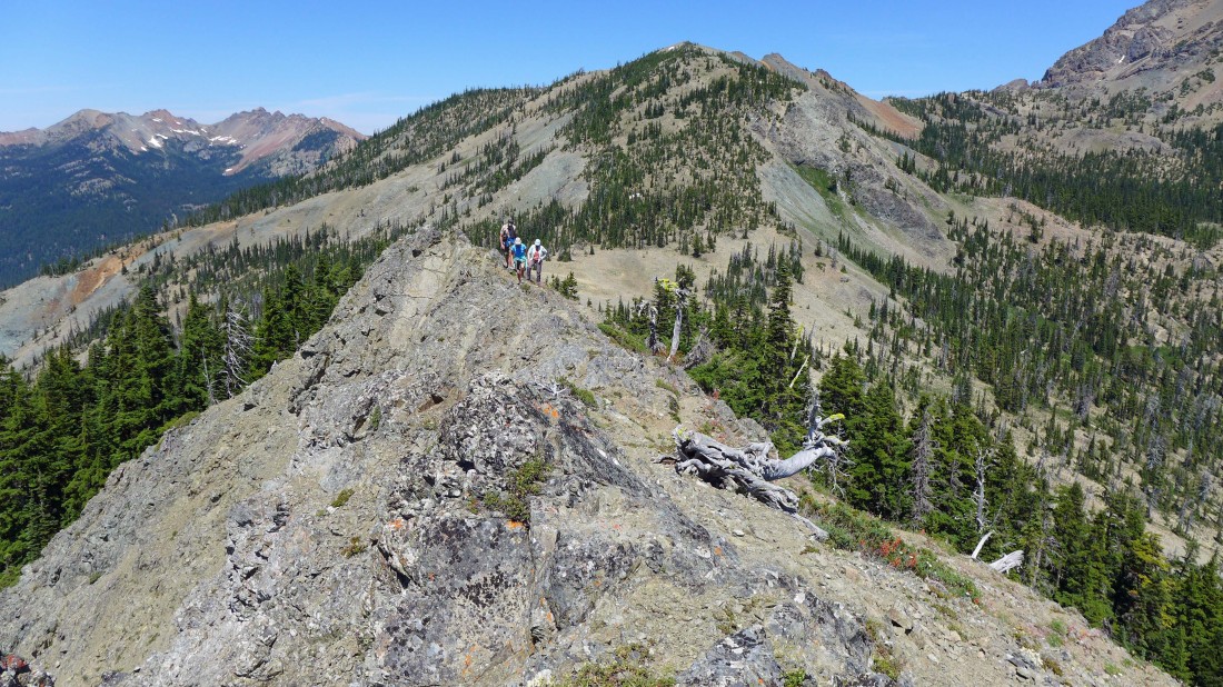
Working our way south along the north ridge of Esmeralda Peaks... Fortune Creek Pass is in the center of the photo... with Small Fortune on the other side of the pass... Scatter Peaks in the distance on the far left.
|
Nearing our high point (6165') on the north ridge of Esmeralda Peaks... the two east summits of Esmeralda Peaks are on the far left... Gallagher Head Lake is in the distance on the far right.
|
I'm standing on our high point (6165')... watching the troops coming over to join me... I'm naming it Prospects Hill because it is located above the abandoned mining prospects in Esmeralda Basin.
|
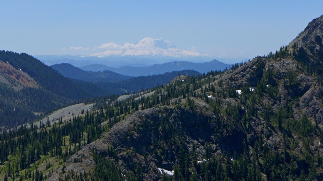
Looking across Gallagher Head Ridge to Mt. Rainier.
|
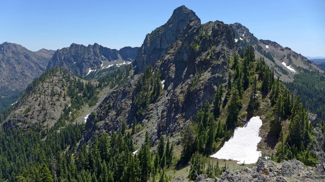
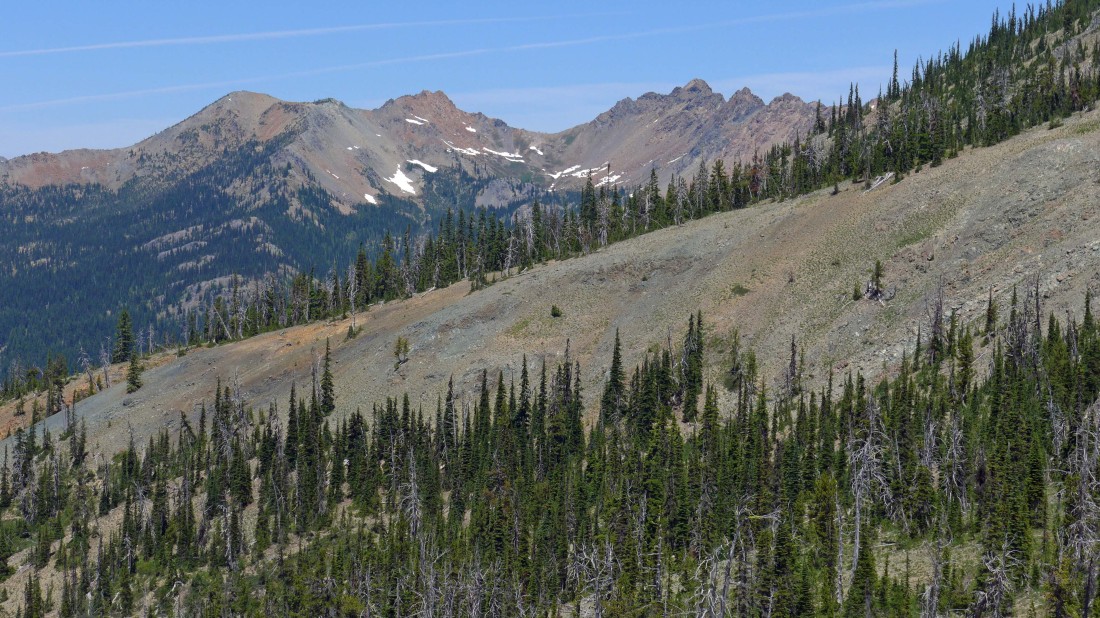
Standing on our high point... looking south along the north ridge of Esmeralda Peaks... the ridge is much more gnarly looking from here.
|
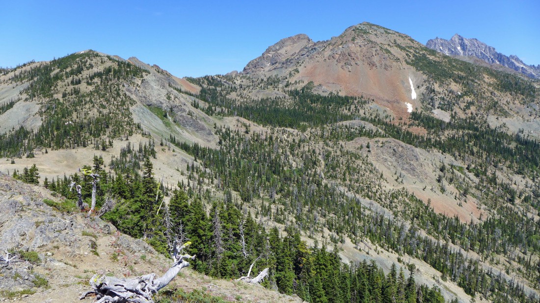
From our high point we could see the Stuart Range on the far right horizon... time to head back down to Fortune Creek Pass and head back to the car.
|
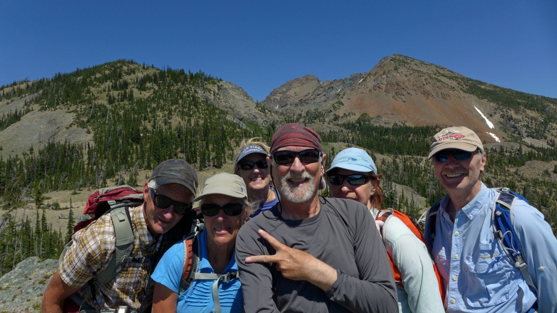
Mandatory selfie from Point 6010 near Fortune Creek Pass... left-to-right... madman, Sahale, Denali Girl, ragman, BarbE and tomman... a 3 mile trail hike and the 1 mile road walk will get us back to the car.
|
