Pratt Mountain - 3.17.2016
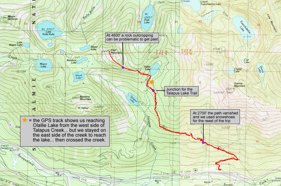
A photo of the GPS track for our trip to the summit of Pratt Mountain... 10.1 miles roundtrip, gaining 3468 feet of elevation.
|
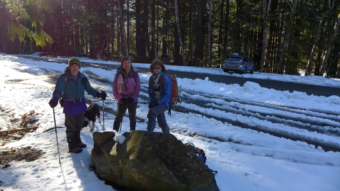
We parked (~1880 feet) at the Pratt Lake Trailhead... exit 47 off of I-90... north side of the freeway.
|
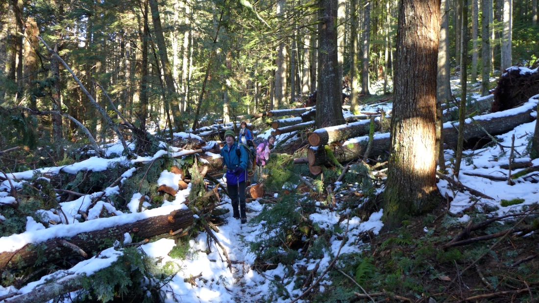
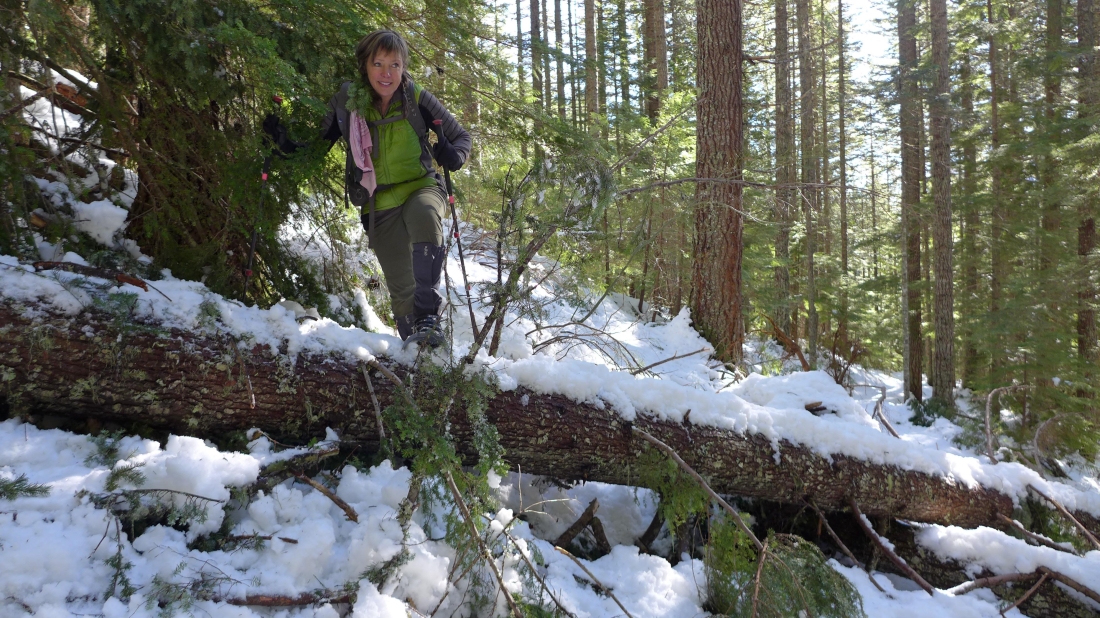
Less than 100 steps from the trailhead there was a ton of blowdown... many thanks to the folks that cleared the trail... or we would still be there trying to get over it.
|
Not much snow for the first mile.
|
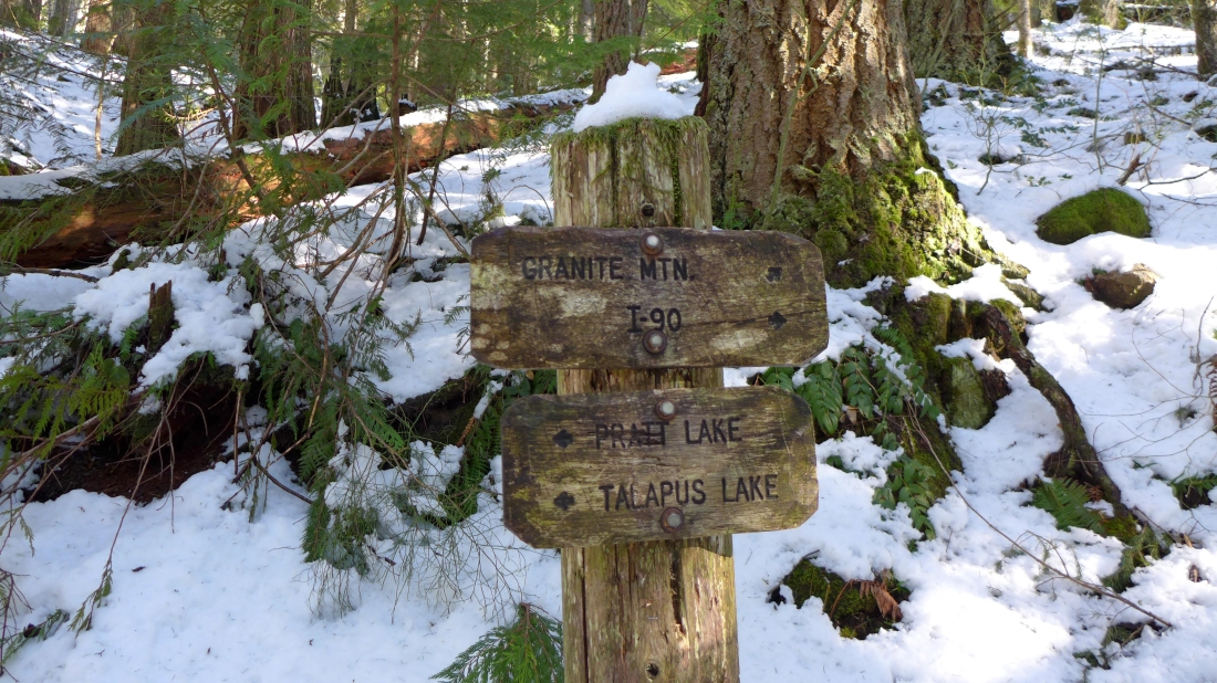
After hiking a mile we reached the junction for Granite Mountain... but we will continue on the Pratt Lake Trail.
|
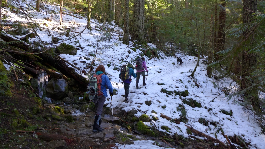
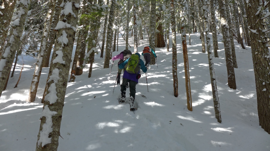
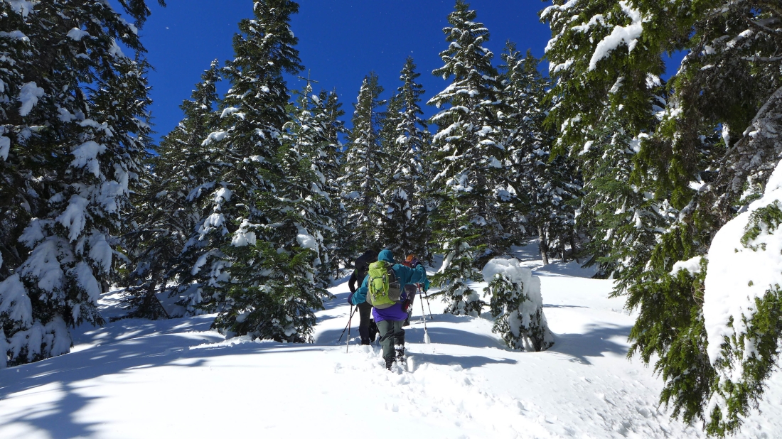
A half-mile or so beyond the junction with the Granite Mountain Trail the steps in the snow disappeared and we went to our snowshoes... there were several trees laying across the trail.
|
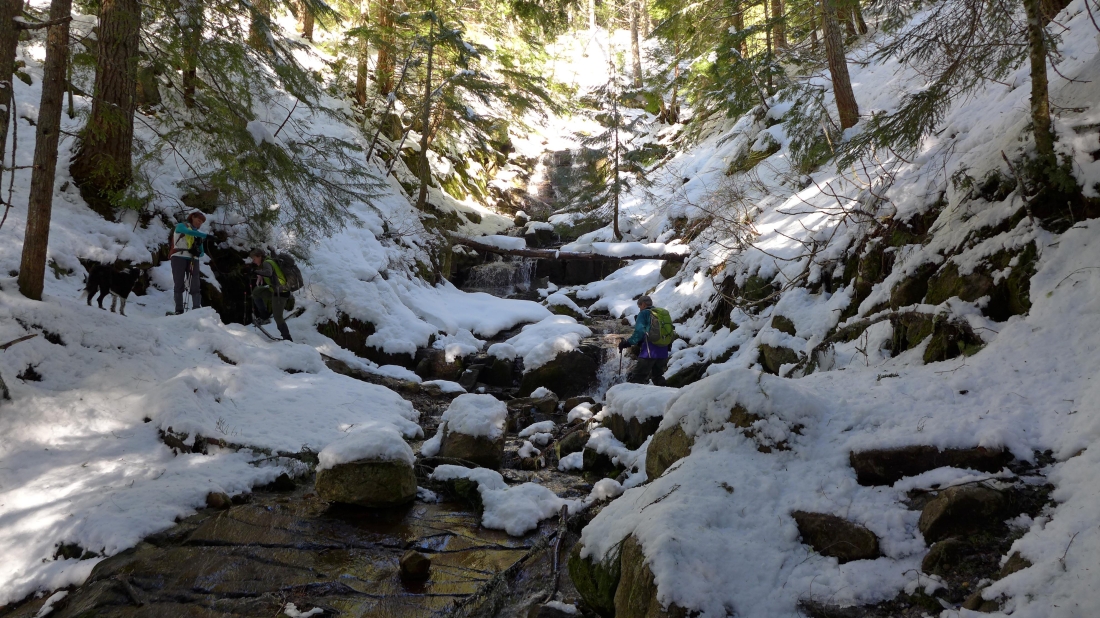
There are lots of stream crossings on the Pratt Lake Trail.
|
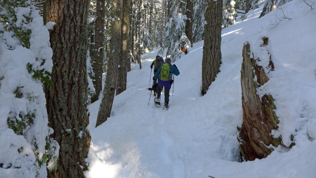
After 2.5 miles of hiking our snowshoes are sinking several inches in the snow.
|
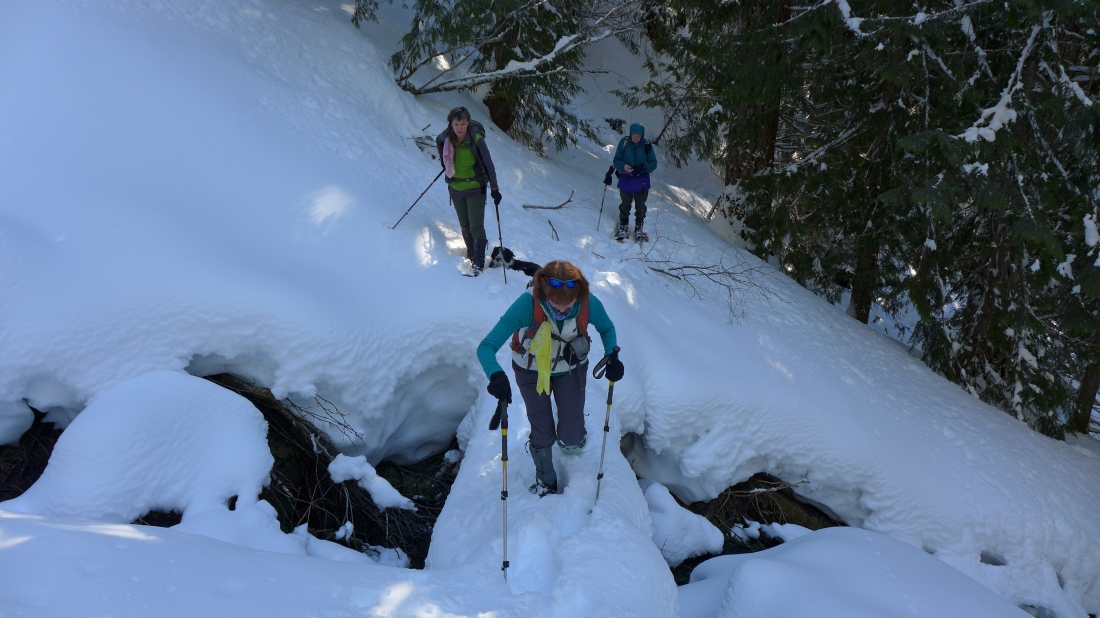
There were 3 or 4 bridges along the trail that had to be negoitiated carefully.
|
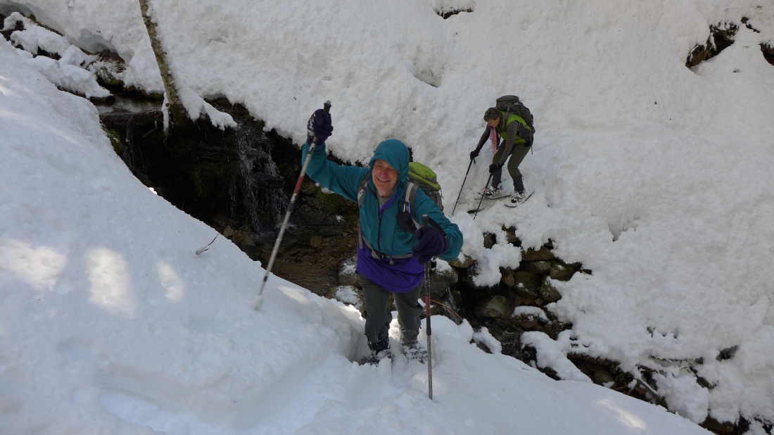
Some of the stream crossings were more difficult than others.
|
It was a little breezy at the mouth of Olallie Lake... where we found an easy crossing of the creek.
|
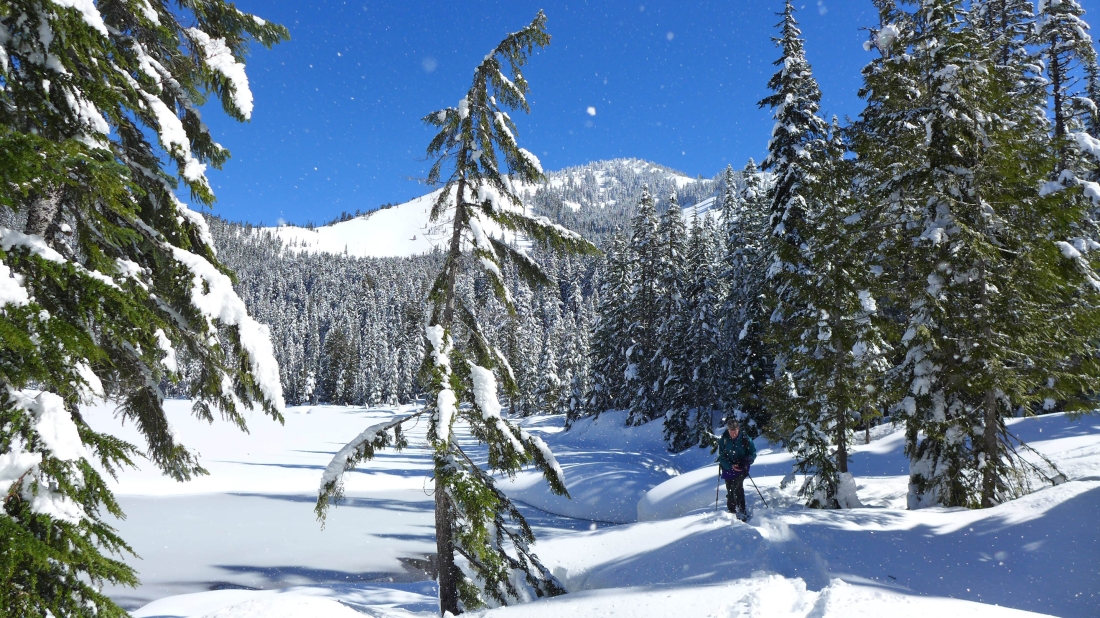
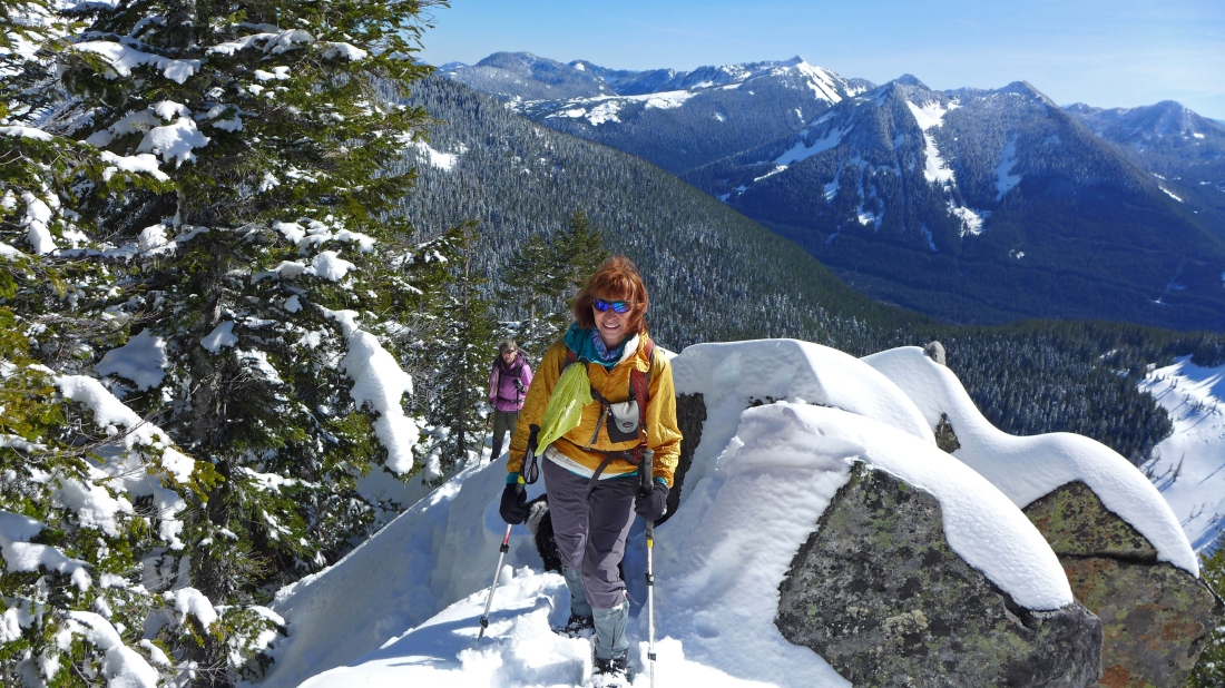
Leaving Olallie Lake the terrain gets much steeper and the snow deepens... as we head for the SE ridge of Pratt Mountain.
|
The terrain opens up some as we near the SE ridge of Pratt Mountain... and the snow gets deeper.
|
The crux of the trip is finding a good way to get around the infamous rock outcropping at 4600 feet on Pratt's SE ridge... we found a workable route on the north side of the outcropping.
|
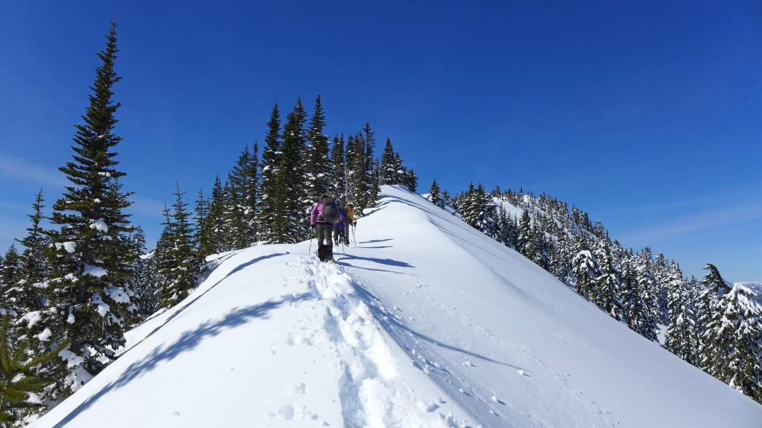
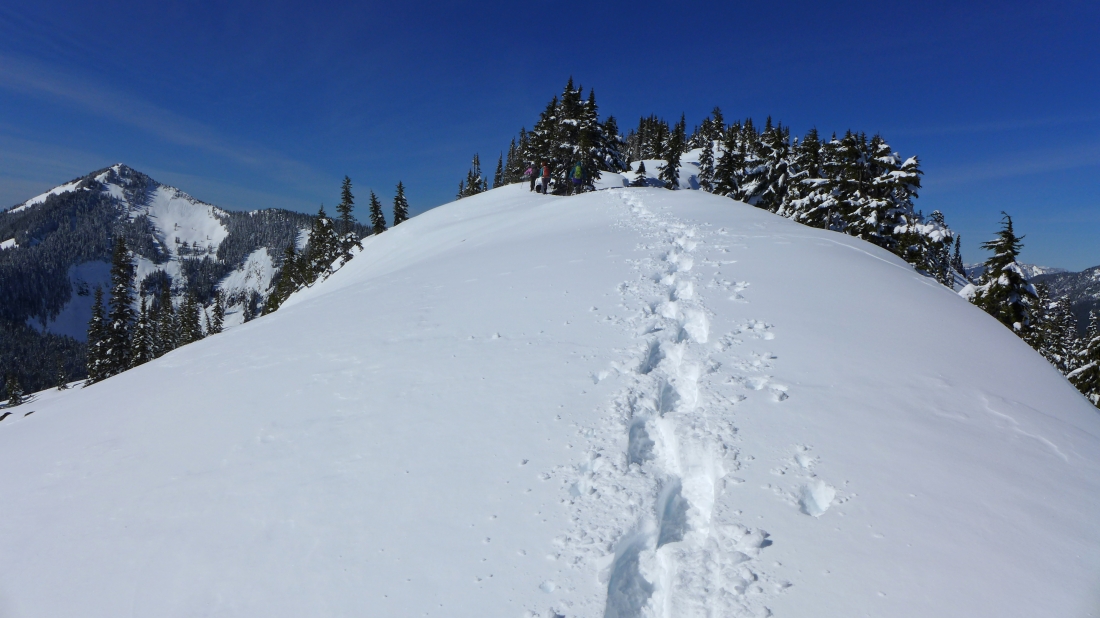
Clear sailing now as we follow the ridge to the Pratt Mountain summit on the right.
|
Continuing along the ridge toward the Pratt Mountain summit... Mt. Defiance in the distance on the left.
|
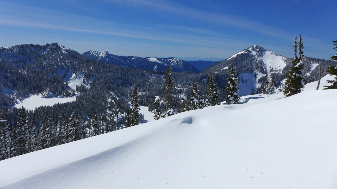
Island Lake and the false summit of Bandera Mountain on the far left... Rainbow Lake is in the center of the photo... with Mt. Defiance on the far right... with McClellan Butte and Mt. Washington on the horizon.
|
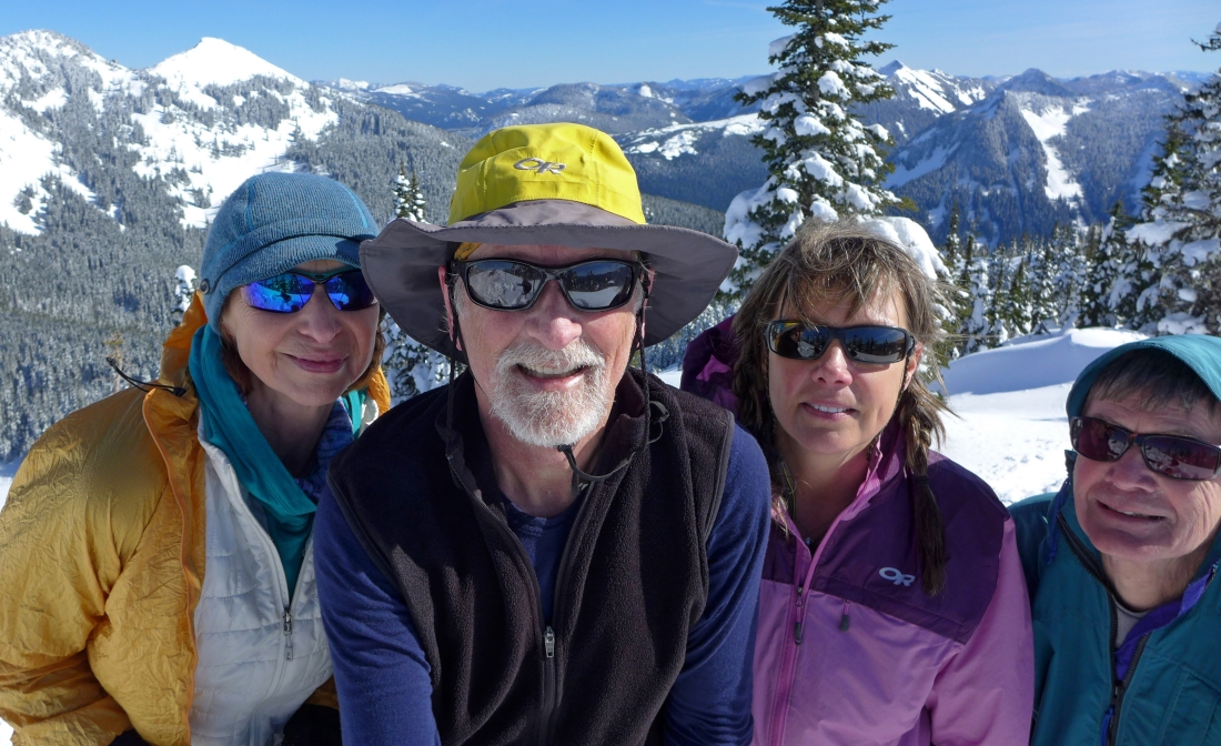
Group shot on the Pratt Mountain summit (5099')... BarbE, ragman, Snowdog and rodman... with Tusk O'Granite and Granite Mountain in the distance on the far left.
|
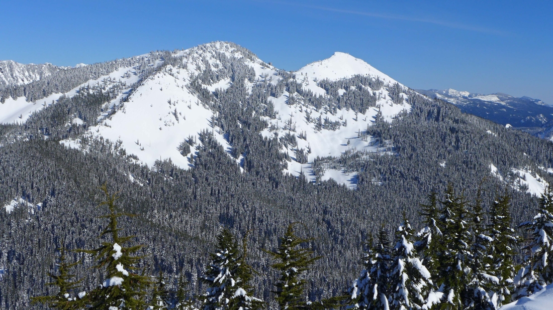
Mt. Roosevelt and Kaleetan Peak on the far left to Tusk O'Granite and Granite Mountain on the far right.
|
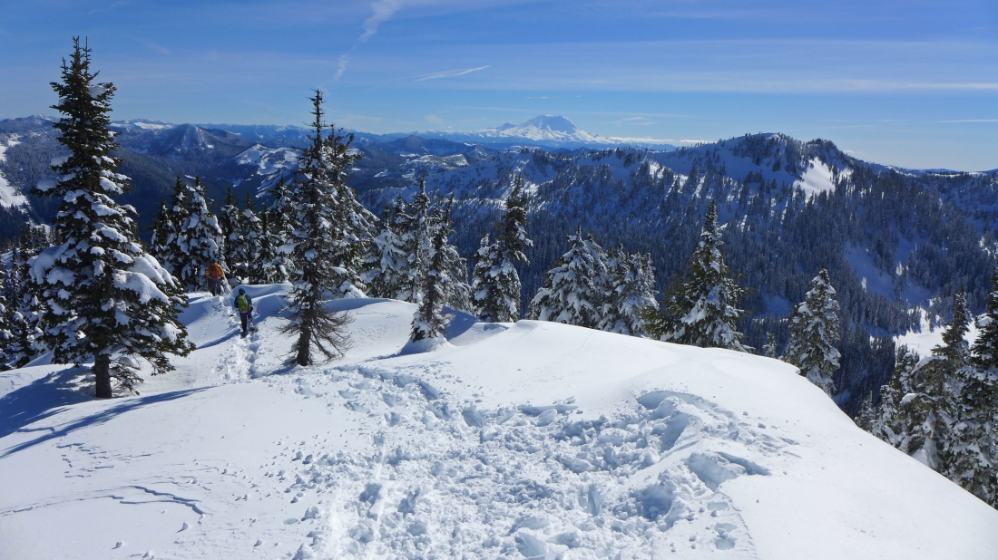
Leaving the Pratt Mountain summit... Mt. Rainier on the horizon... with Bandera Mountain and Island Lake in the right foreground.
|
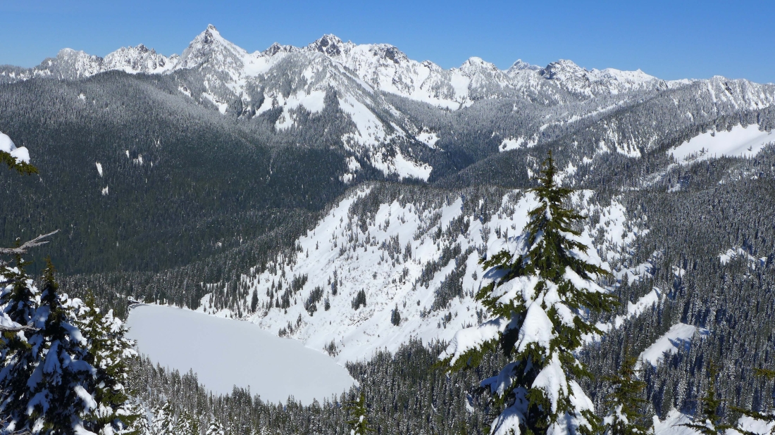
Looking down on Pratt Lake... with Mt. Roosevelt, Kaleetan Peak, Chair Peak, Bryant Peak, Snoqualmie Mountain and Chikamin Peak in the distance.
|
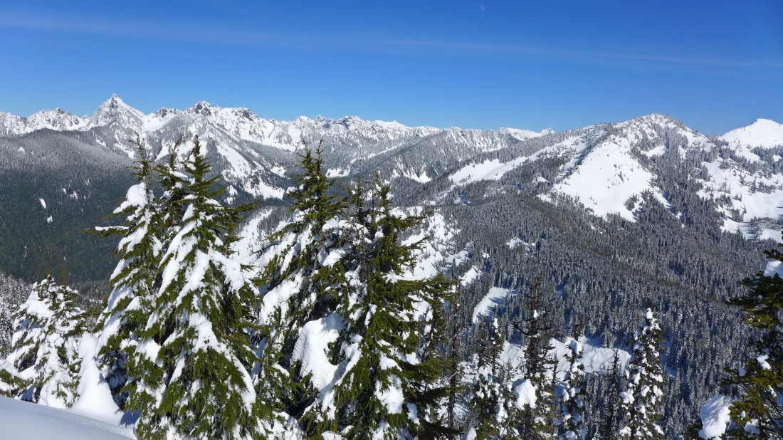
Tusk O'Granite and Granite Mountain from the SE ridge of Pratt Mountain.
|
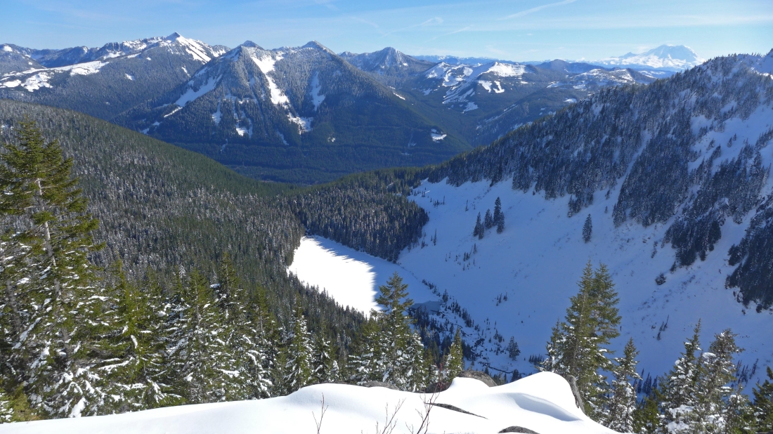
Looking down at Talapus Lake from the infamous rock outcropping... located at 4600 feet on Pratt's SE ridge... Humpback Mountain is in the middle foreground... with a pointy Silver Peak to its left.
|
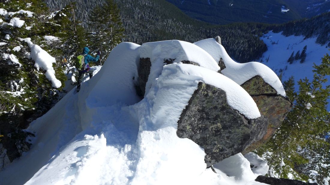
Working our way around the rock outcropping.
|
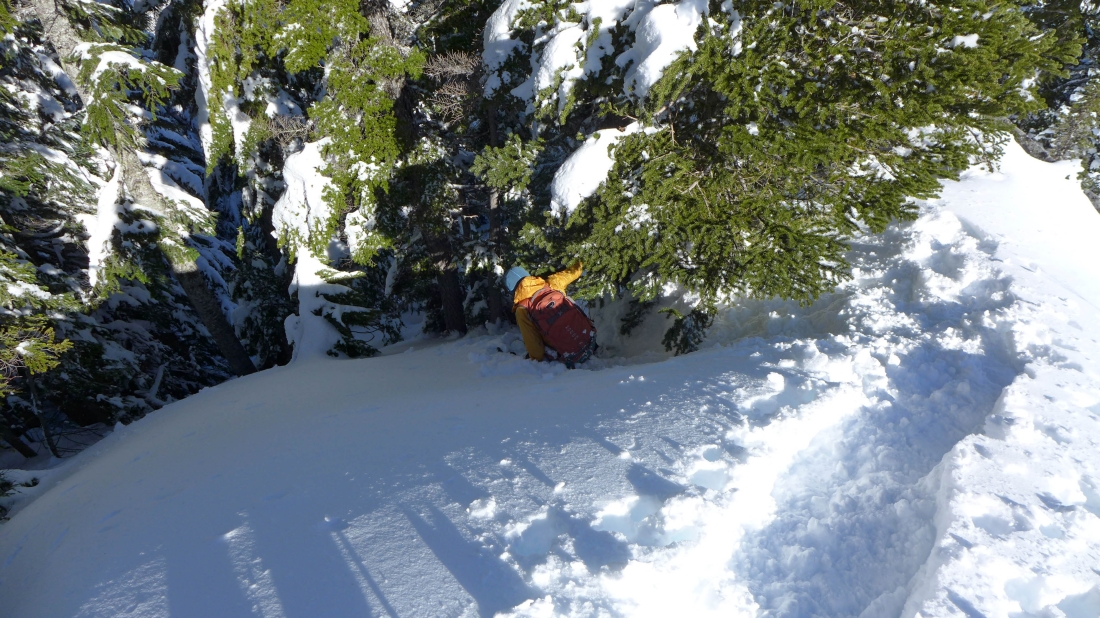
Some veggie belaying was necessary to get around the rock outcropping... clear sailing back to the car from here.
|
