Byrd Point - 5.28.2017
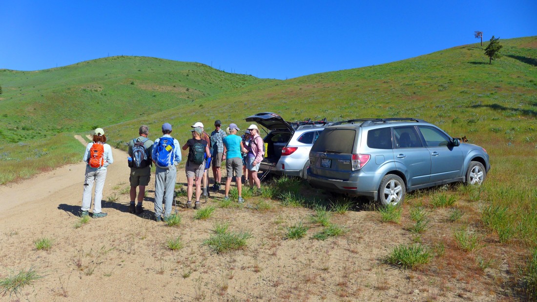
Using a combination of the Entiat River Road, Crum Canyon Road, Osburn Canyon Road and FS-5305 we decided to stop driving and parked on the side of 5305... we will head for Point 3641 on the left.
|
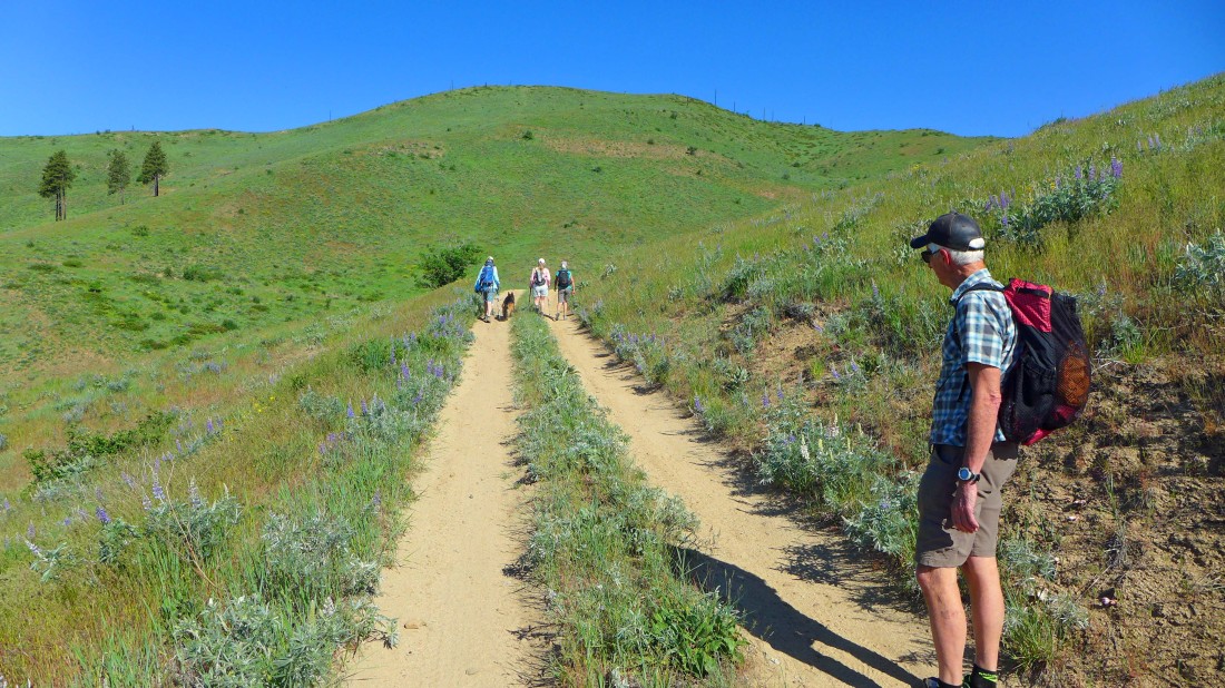
Walking FS-5305 and heading for Point 3641.
|
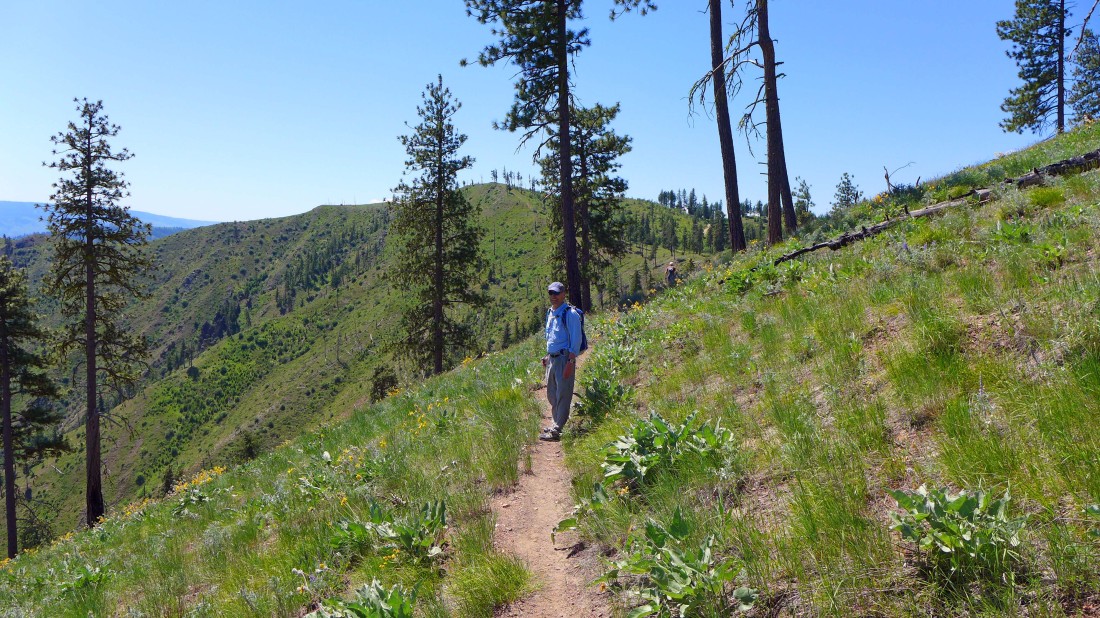
After walking FS-5305 for a short distance we have left the road and are heading cross country for Point 3641... here we are looking back down to where we parked on the side of FS-5305.
|
Nearing Point 3641.
|
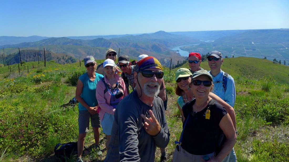
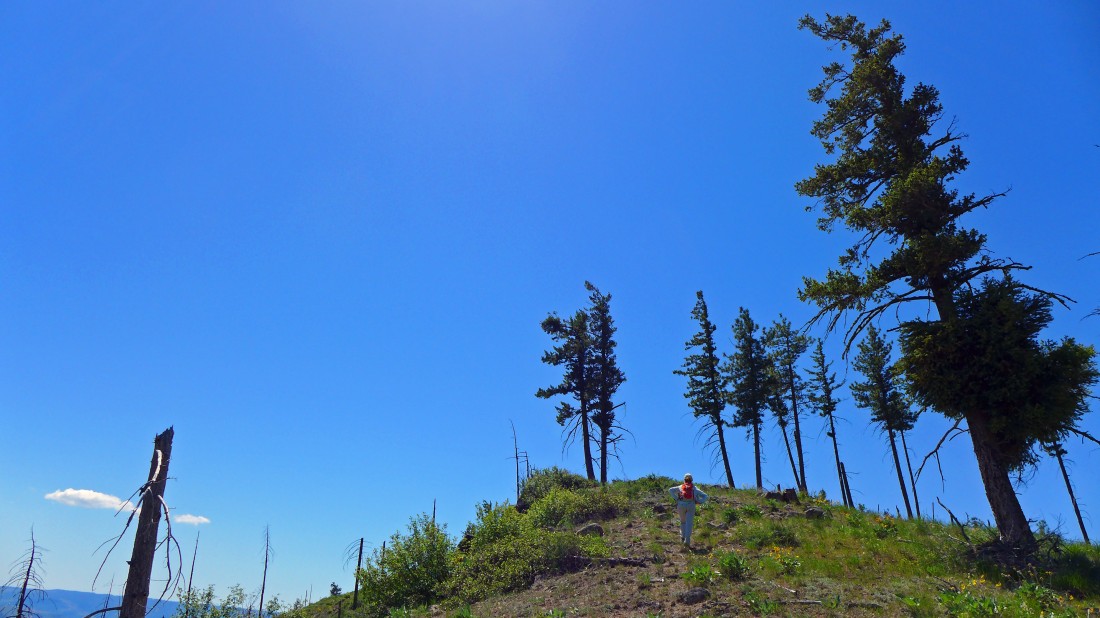
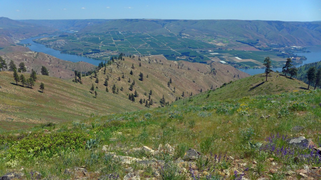
Using the selfie stick on Point 3641... with the Columbia River behind us.
|
Earth tones... we have left Point 3641 and heading north for Point 3660.
|
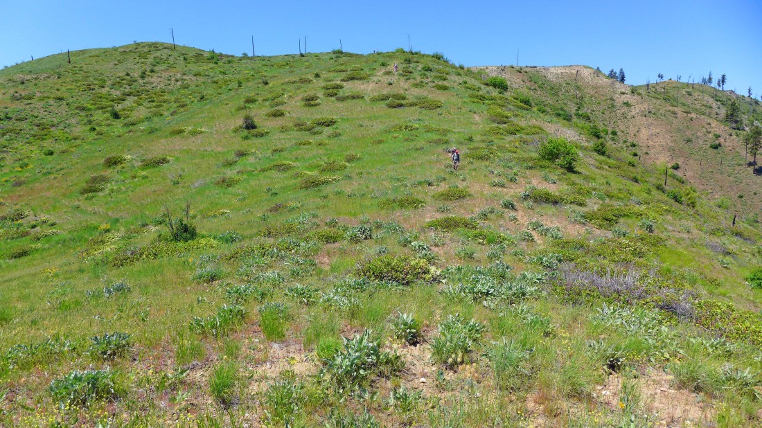
Crossing over Point 3660... heading north for Point 3755.
|
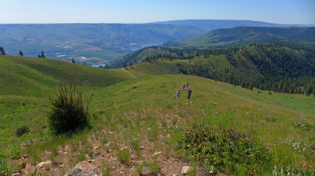
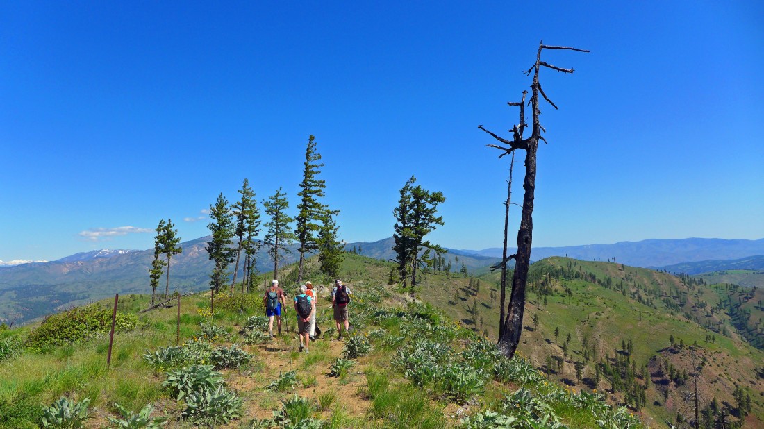
On the north side of Point 3660 we have connected with the Stekilo Ridge Trail #1454... Point 3755 (our high point on this hike) is in the foreground.
|
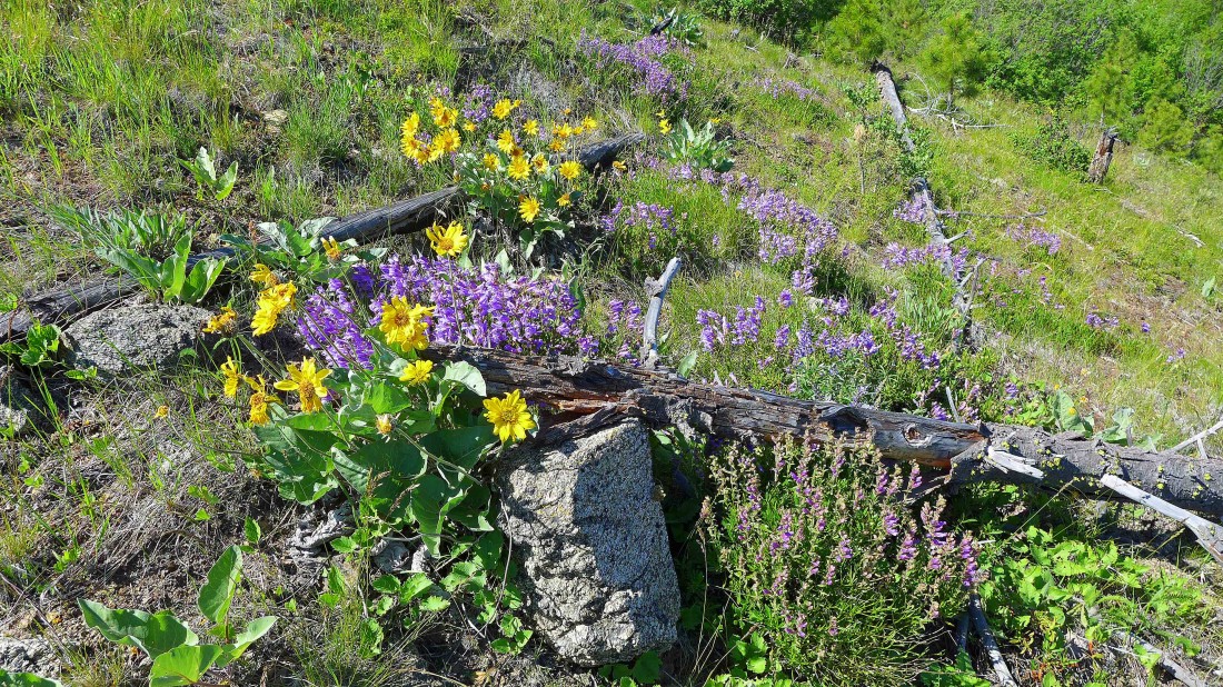
I'm a big fan of purple and gold... penstemon and balsamroot.
|
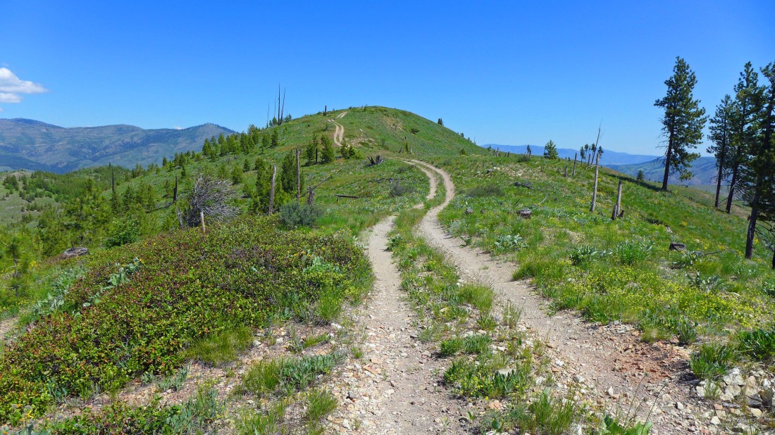
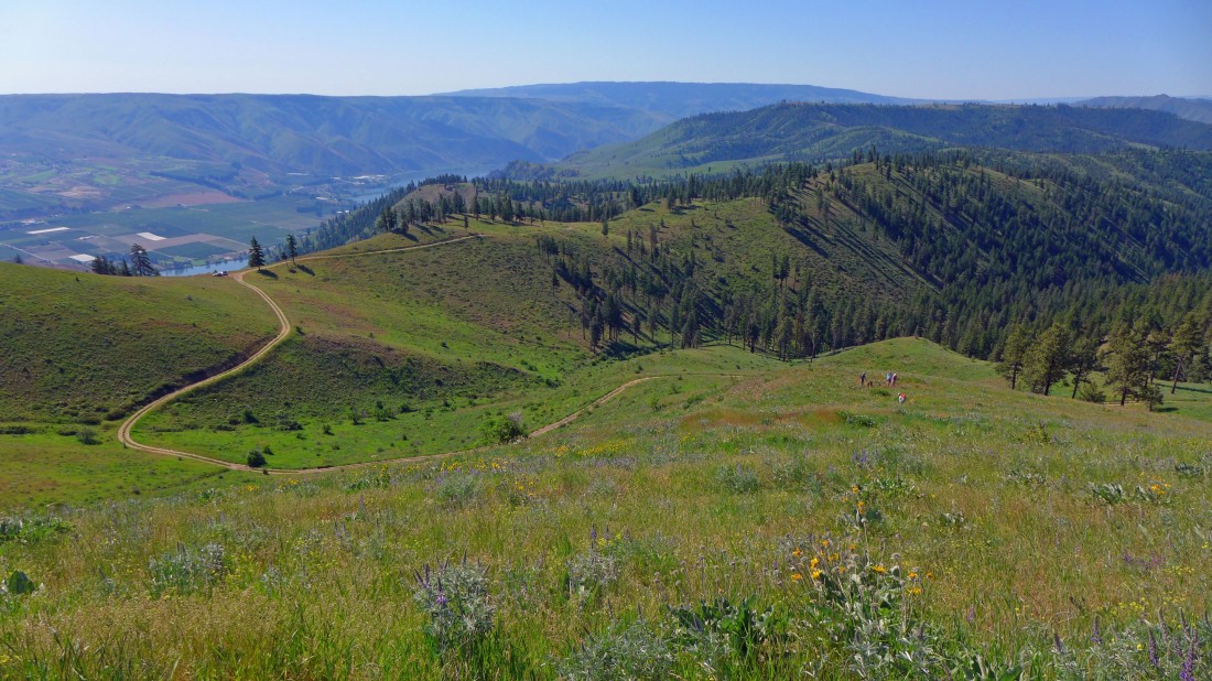
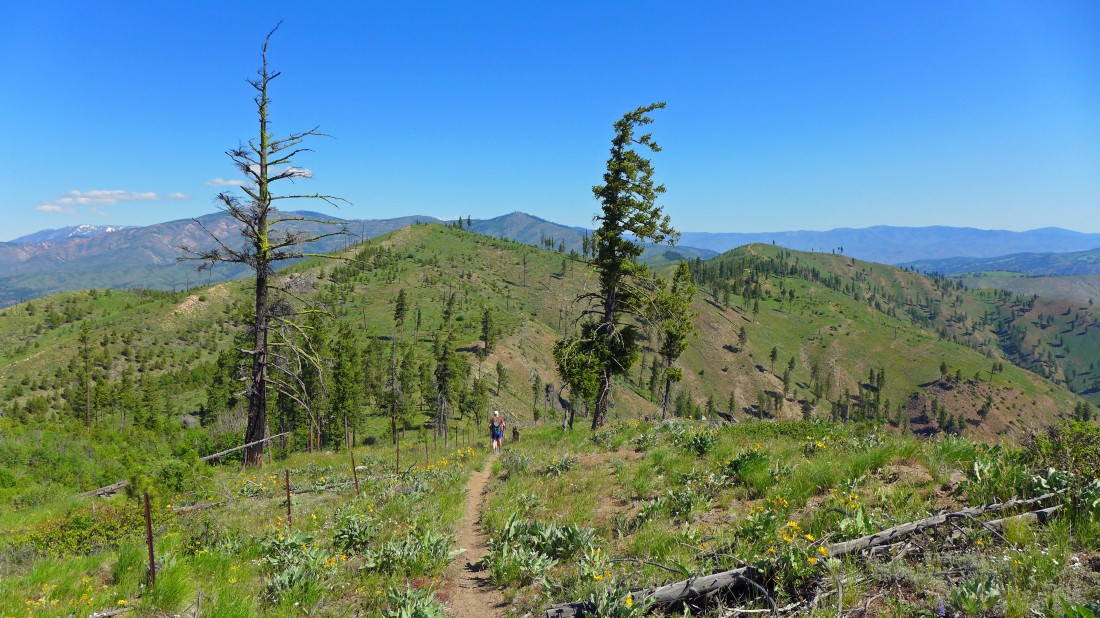
The USGS map (probably a 1965 version) shows this as part of the Steliko Ridge Trail, but it looks like it has become a continuation of FS-5305 over the years... Byrd Point is on top of the bump in the foreground.
|
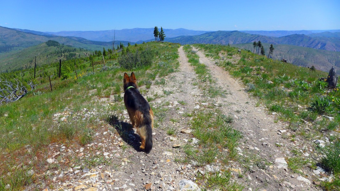
Luna leads the way to Byrd Point... Goman Peak is the partially treed summit on the left.
|
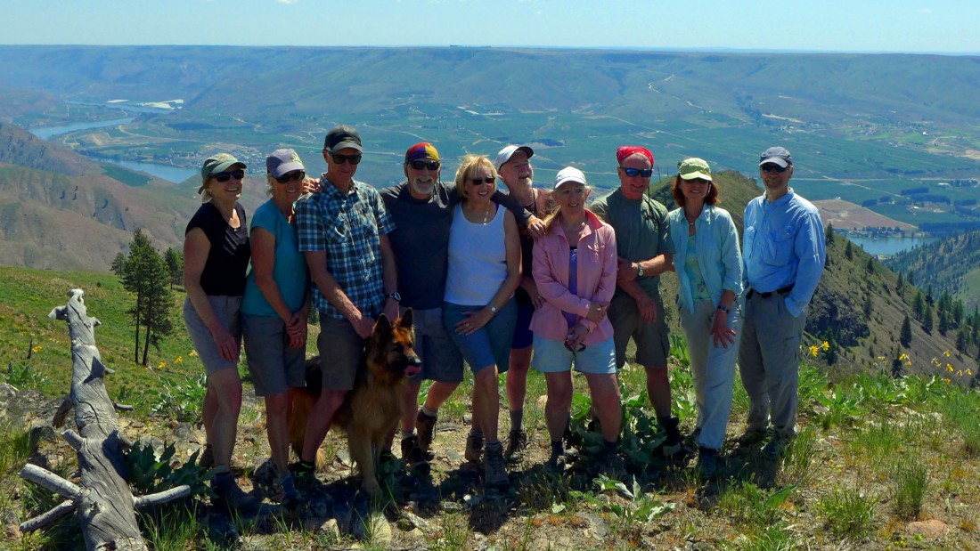
Group shot from the summit (3625') of Byrd Point.
|

Leaving Byrd Point and heading back for the cars... Point 3755 in the right foreground... with Points 3660 and 3641 further back on the left.
|
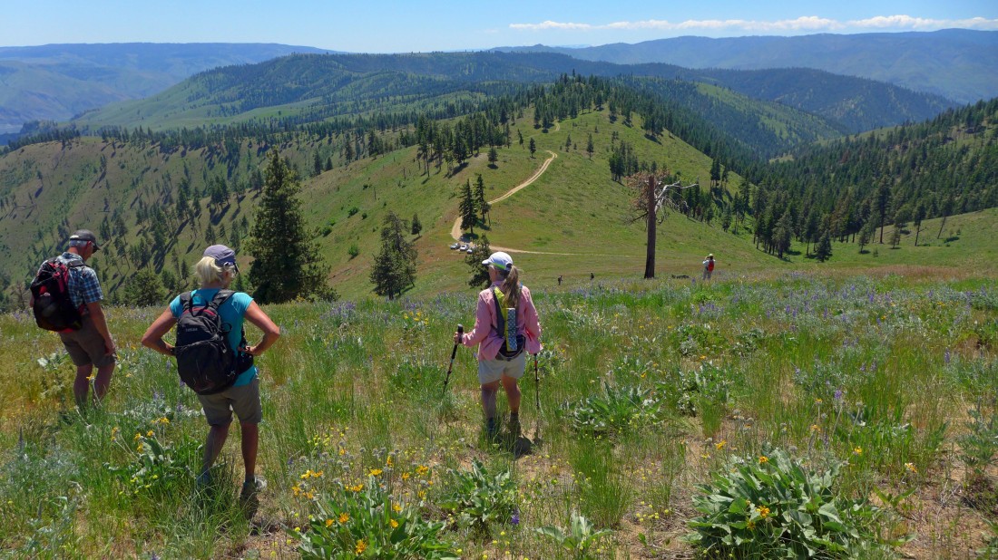
On our way back to the cars we chose to stay on the Steliko Ridge Trail and not return to the top of Point 3755... Point 3660 is in the distance.
|
BarbE nears the top of Point 3660... our second visit to this spot today.
|
Instead of returning to Point 3641 we have decided to head east for a visit to Point 3344... which will be our fifth point of the day... call it a '5 point day'.
|
I'm on Point 3344... looking back at Point 3641 which was our first point of the day.
|
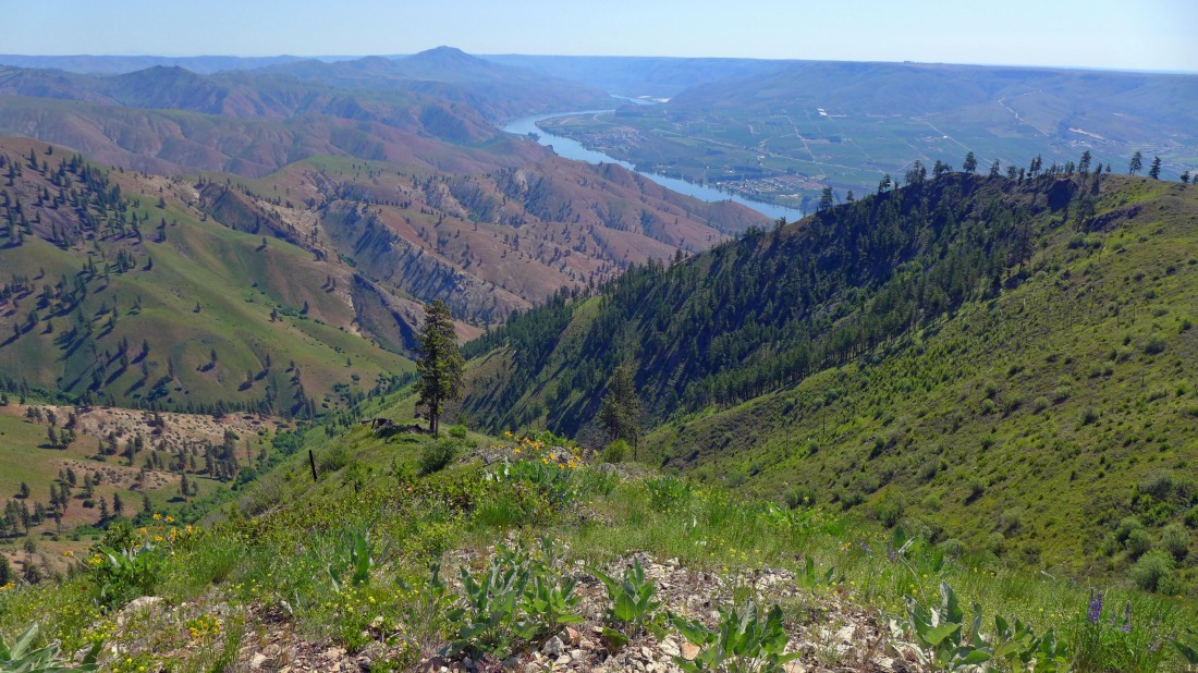
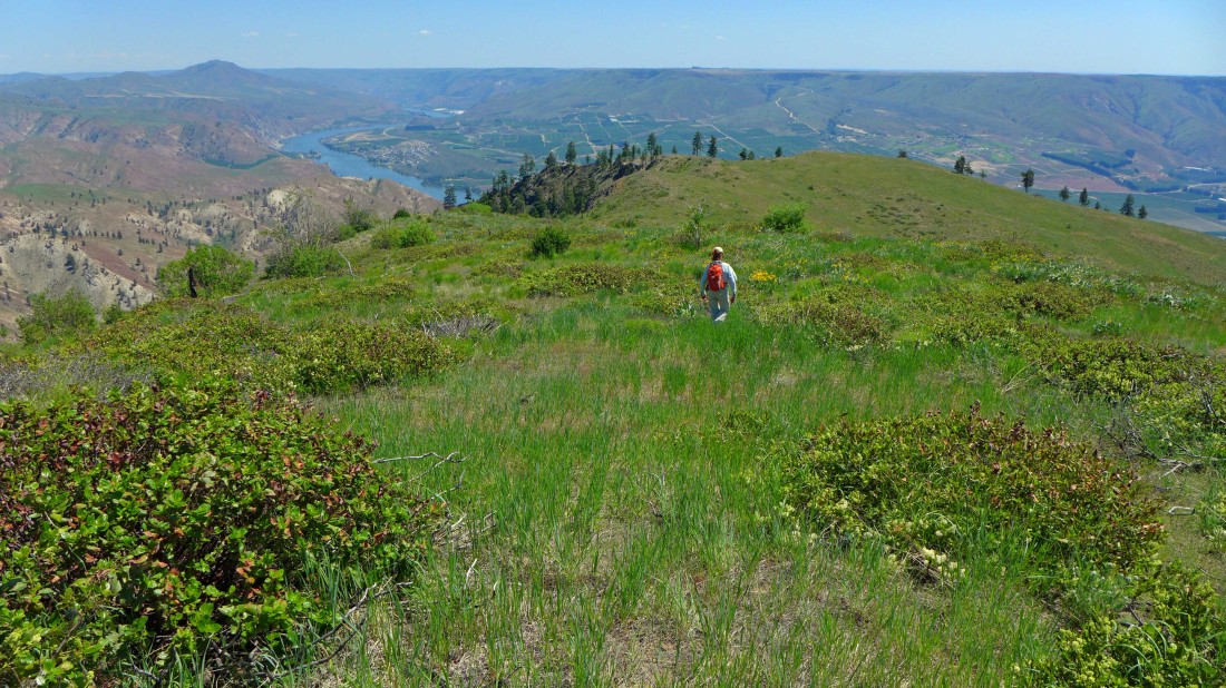
A nice view of the Columbia River from Point 3344... with the Waterville Plateau on the horizon.
|
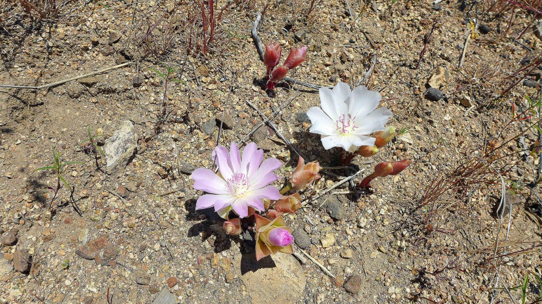
We saw a lot of bitterroot on this hike.
|
Working our way down to the cars... the hike was 5.2 miles roundtrip, gaining 1593 feet of elevation.
|
