Keystone Point - 5.28.2017
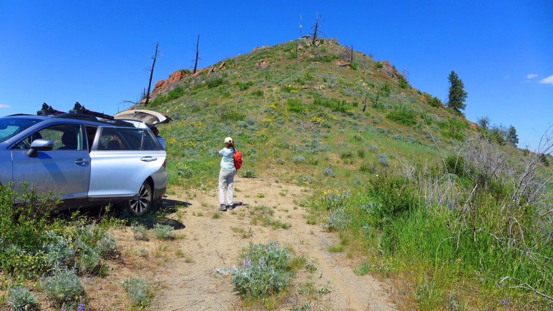
The link above to the trailhead directions for this hike stops a mile or so short of where we parked in the photo... think of it as a hiker's choice on when to stop driving and start hiking... it was our second hike of the day so we just kept driving until we couldn't drive anymore... for us the hike was .6 miles roundtrip, gaining 243 feet of elevation.
|
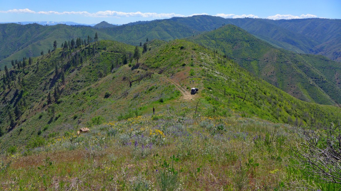
Following a path up toward Keystone Point and looking down where the road ended... we used a combination of the Entiat River Road, Mills Canyon Road, FS-5200, FS-5213 and finally FS-5213-123 to reach our parking spot.
|
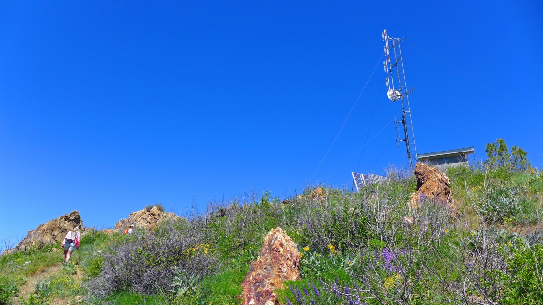
Nearing the top of Keystone Point where a communication tower resides.
|
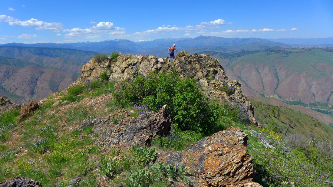
rocman roams around on one of the rock outcroppings near the summit (3895') of Keystone Point.
|
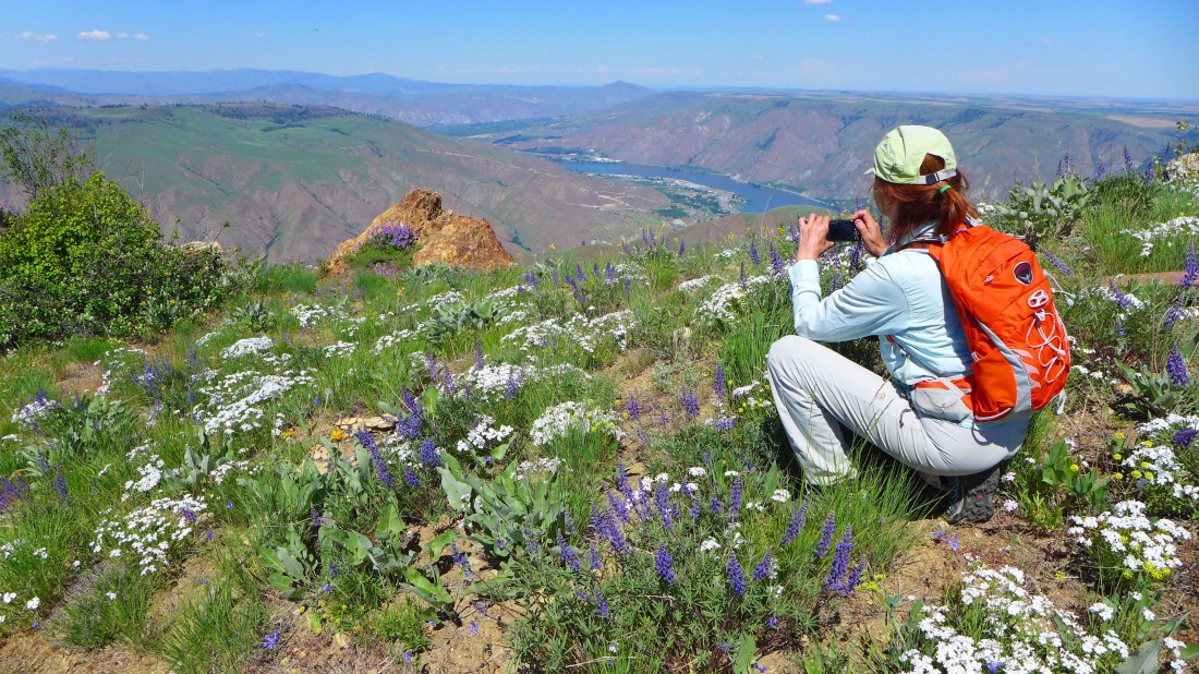
BarbE shooting some of the lush flowers on Keystone Point... lots and lots of phlox and lupine... with the Columbia River in the distance.
|
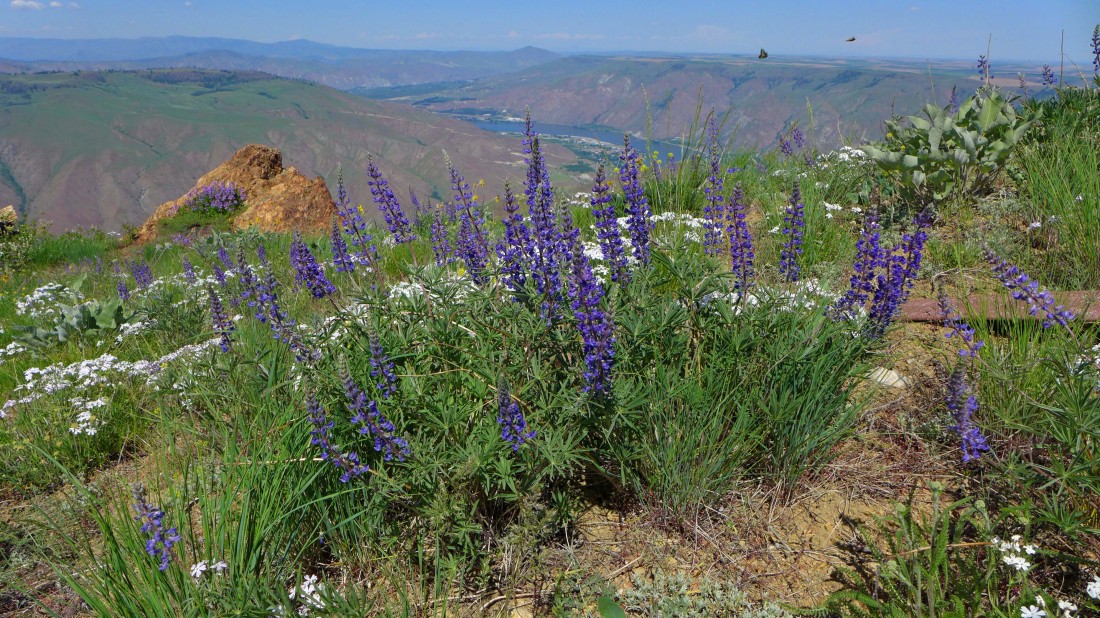
There were a couple of butterflies up there also.
|
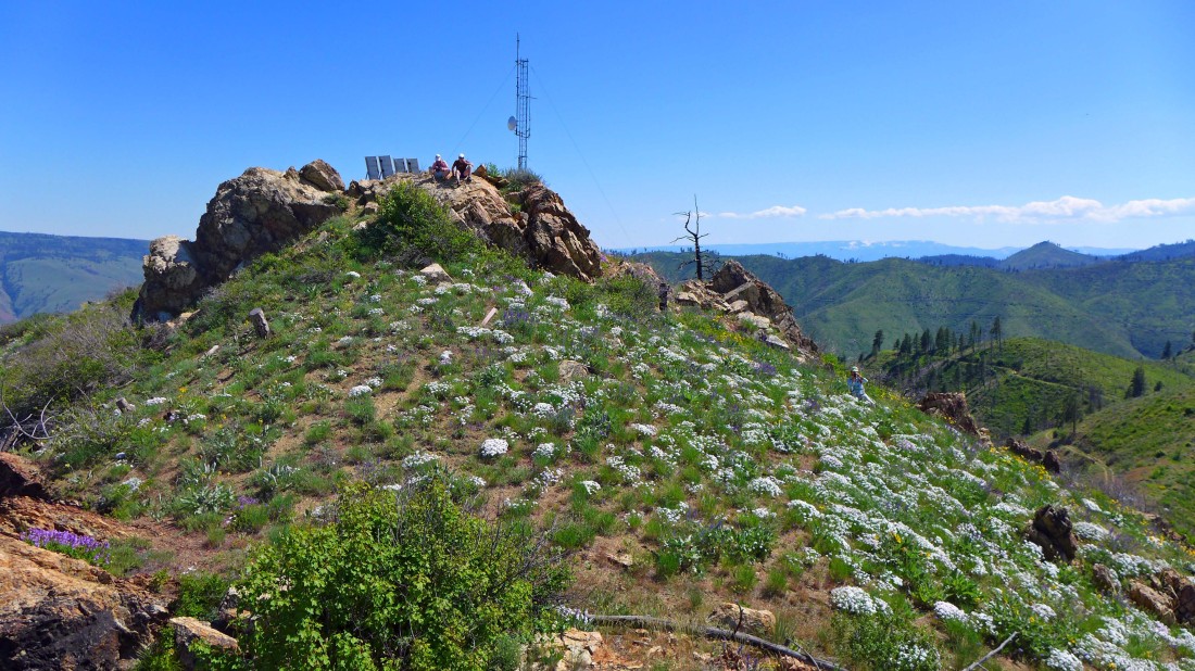
rocman and Jannu relax on the summit of Keystone Point... while BarbE shoots flower photos.
|
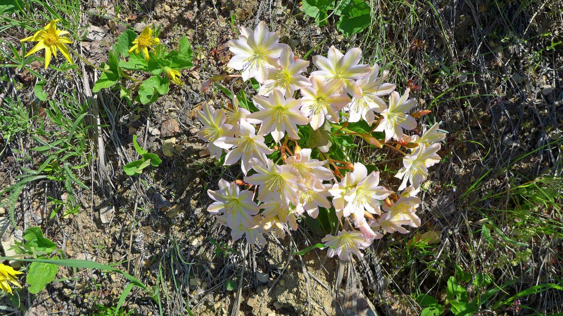
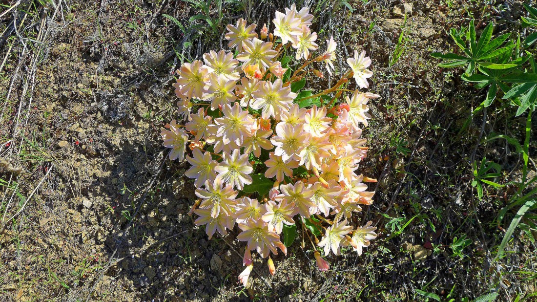
A mile or so from the summit there are lots of Tweedy's Lewisia on the side of the road.
|
More Tweedy's Lewisia.
|
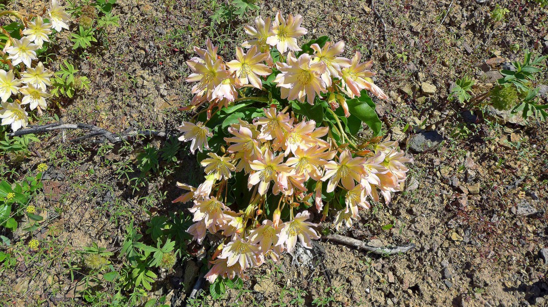
Still more Tweedy's Lewisia.
|
