Higher Squire - 3.3.2015
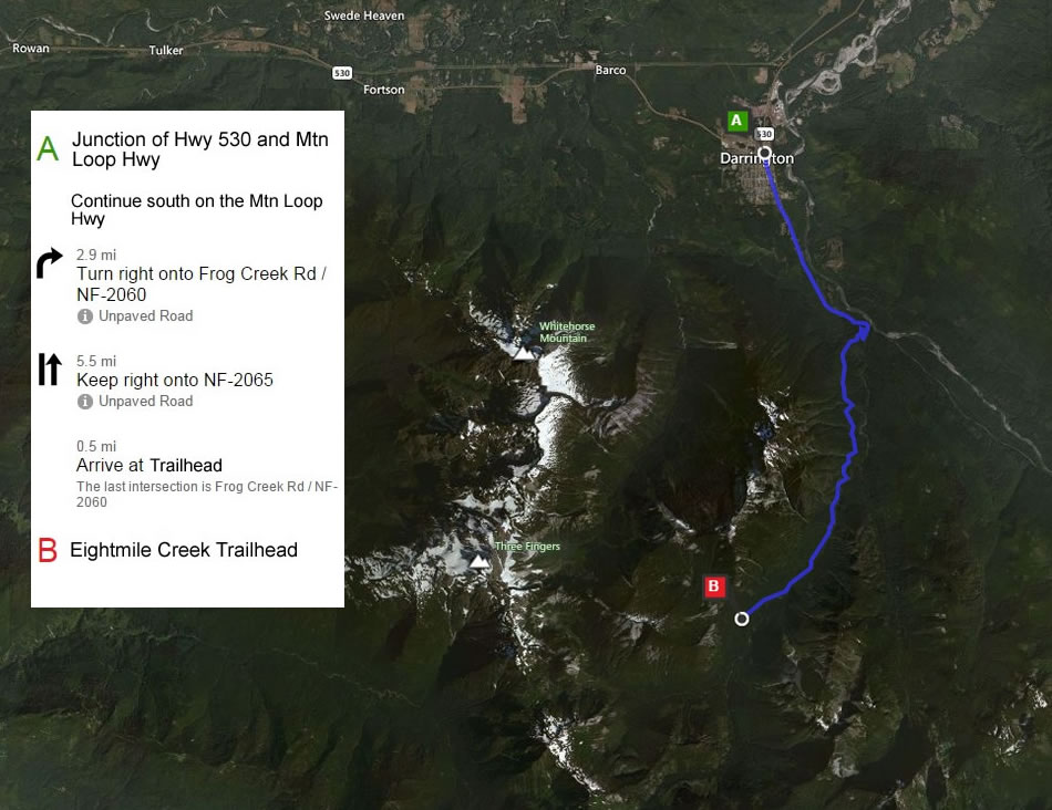
Directions from the junction of Hwy 530 and the Mountain Loop Hwy in Darrington to the Eightmile Creek Trailhead.
|
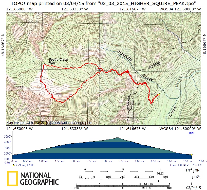
rodman's GPS Track for our trip to Higher Squire... 5.8 miles roundtrip, gaining 3114 feet of elevation.
|
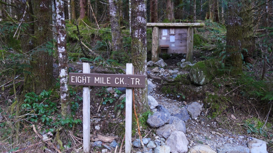
The Eightmile Creek Trailhead is located at ~1720 feet of elevation.
|
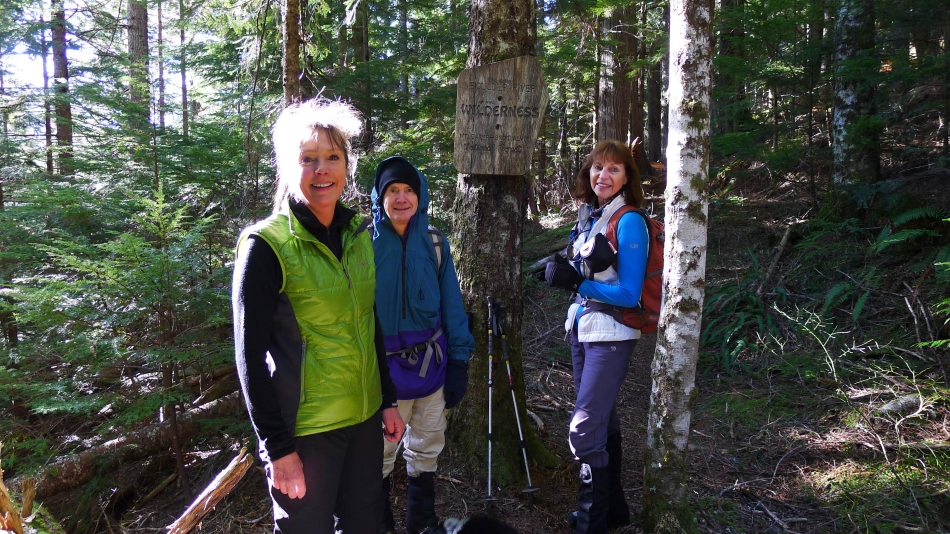
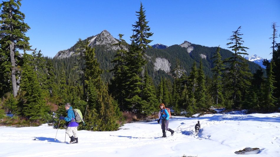
After hiking awhile we are entering the Boulder River Wilderness... Snowdog sports a new electric hairdo.
|
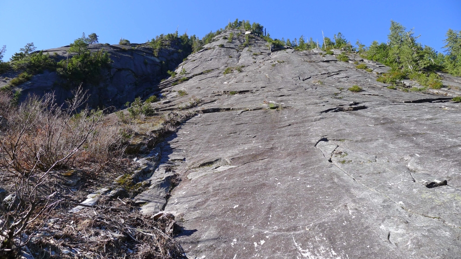
The trail goes underneath Three O'clock Rock... a popular rock climbing area near Darrington.
|
It was very chilly the previous evening... and 24 degrees at the trailhead... but it warmed up quickly.
|
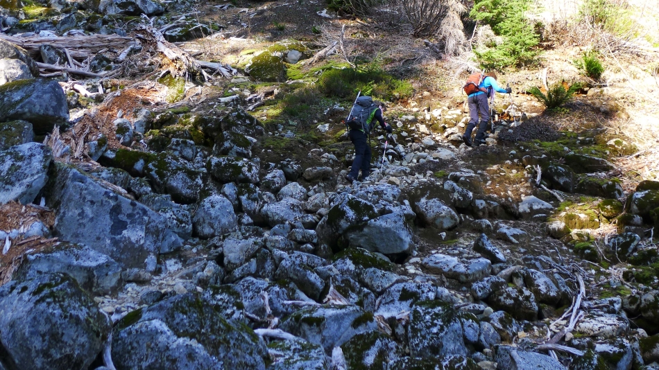
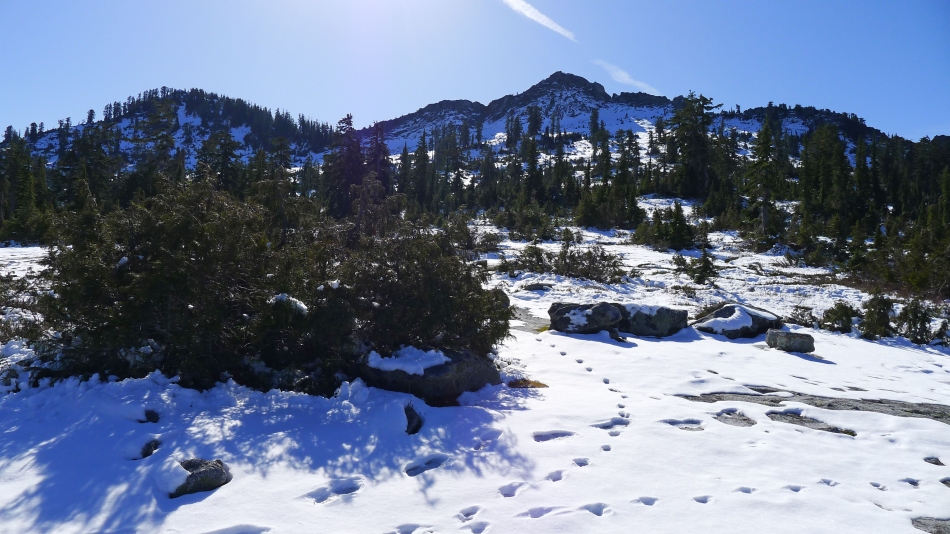
Crossing one of several boulder fields on our way to Squire Creek Pass.
|
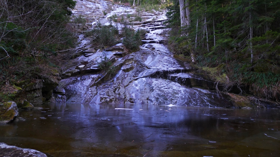
Consolidated ice and snow on the trail in places starting near 3700 feet.
|
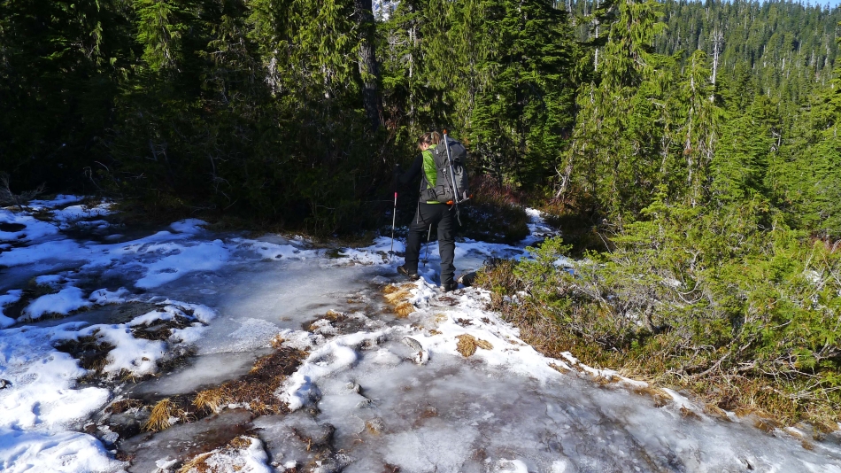
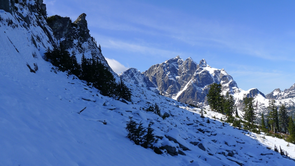
A couple inches of fresh stuff as we near Squire Creek Pass... Ulalach Peak on the left... and Jumbo Mountain on the other side of the ridge in the center of the photo... with the snow covered White Chuck Mountain on the far right.
|
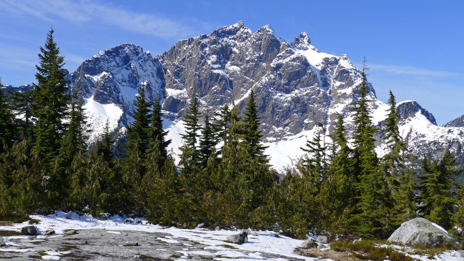
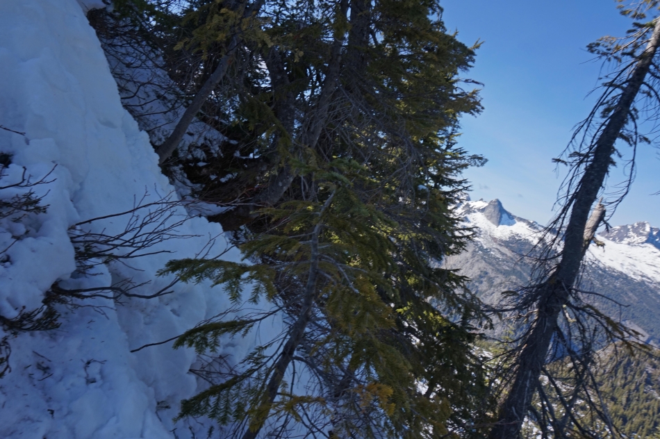
A close up of Three Fingers from Squire Creek Pass (~4080').
|
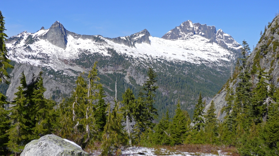
Salish Peak (left), Ohio Peak (center) and Whitehorse Mountain (right) from Squire Creek Pass.
|
From Squire Creek Pass... Whitehorse Mountain (far left in the distance), Point 4274 (foreground) and Ulalach Peak on the right.
|
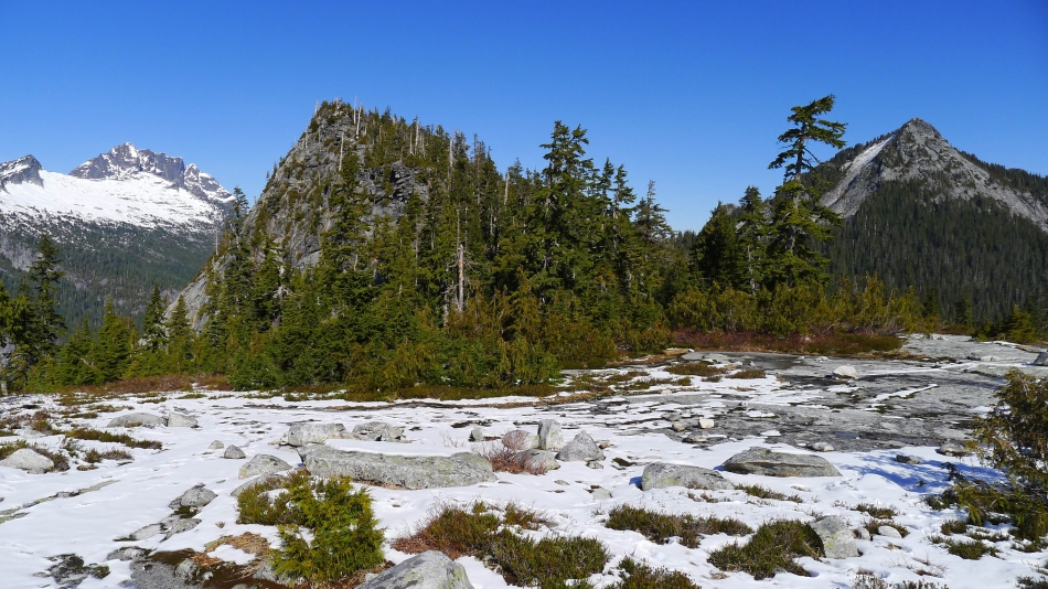
Higher Squire (left)... and Squire Spire (center).
|
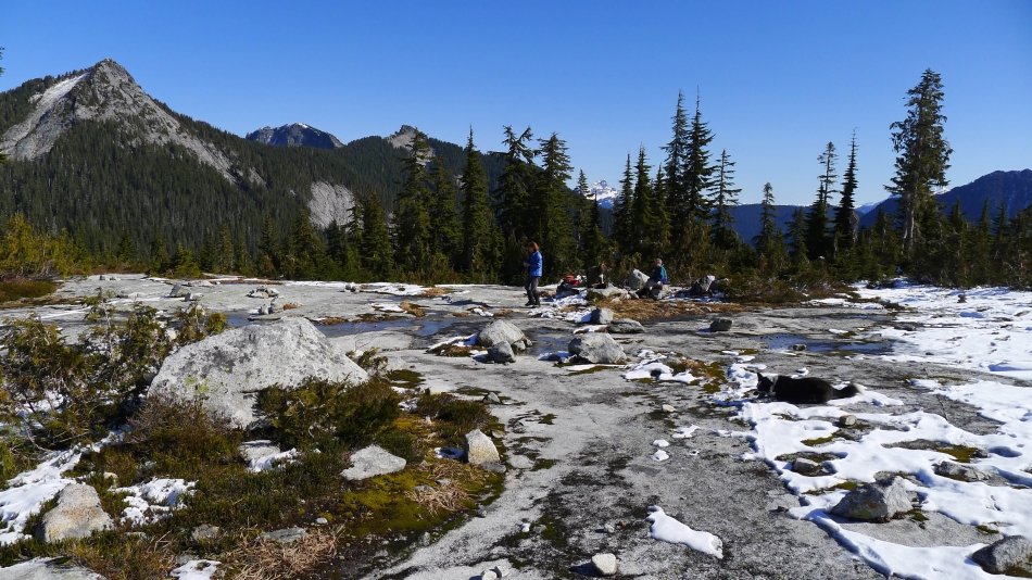
Having lunch at Squire Creek Pass... with Ulalach Peak on the far left.
|
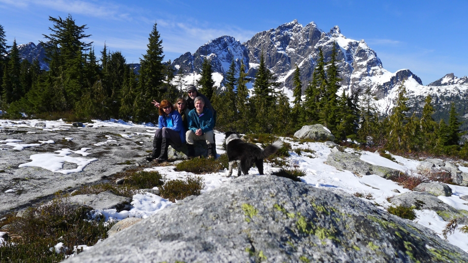
Group shot from Squire Creek Pass... Three Fingers in the distance.
|
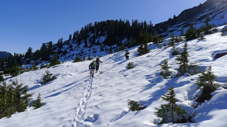
Heading directly for Higher Squire... aiming for the low point between Higher Squire and Squire Spire on the right.
|
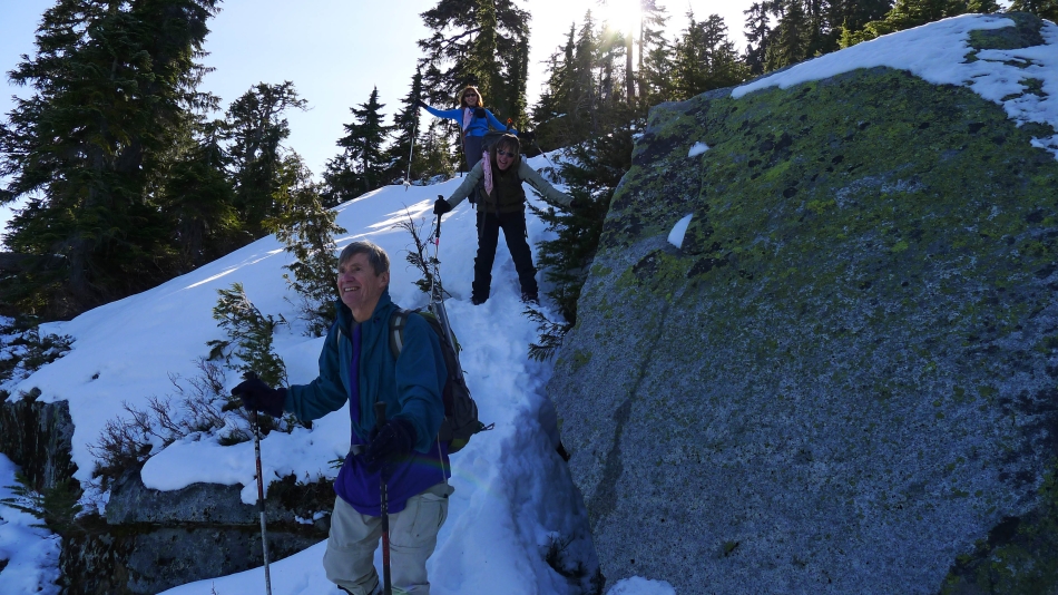
On steeper terrain now... with Squire Spire in the left foreground... and Three Fingers across the valley.
|
Did I mention that we were on steeper terrain... BarbE took this photo... probably holding the camera in her teeth.
|
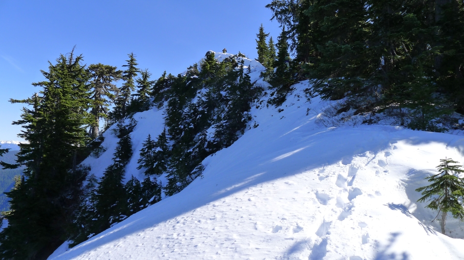
At the brushy col (~4600') between Squire Spire and Higher Spire... now we will follow the west ridge of Higher Squire to the summit.
|
Snowdog reaches the summit area of Higher Squire.
|
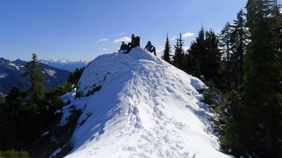
rodman, Snowdog and BarbE on the summit (4879') of Higher Squire.
|
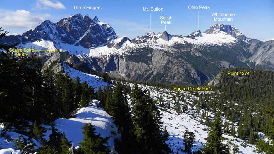
Looking west and NW from the Higher Squire summit... Three Fingers on the left... Whitehorse Mountain on the right... with Mt. Bullon, Salish Peak and Ohio Peak in between.
|

We decided to go down via the NE ridge of Higher Squire... very steep for the first 150 feet.
|
There was snow on the NE ridge of Higher Spire until we reached ~3900 feet... and this is where we should have left the ridge and headed back toward Squire Creek Pass.
|
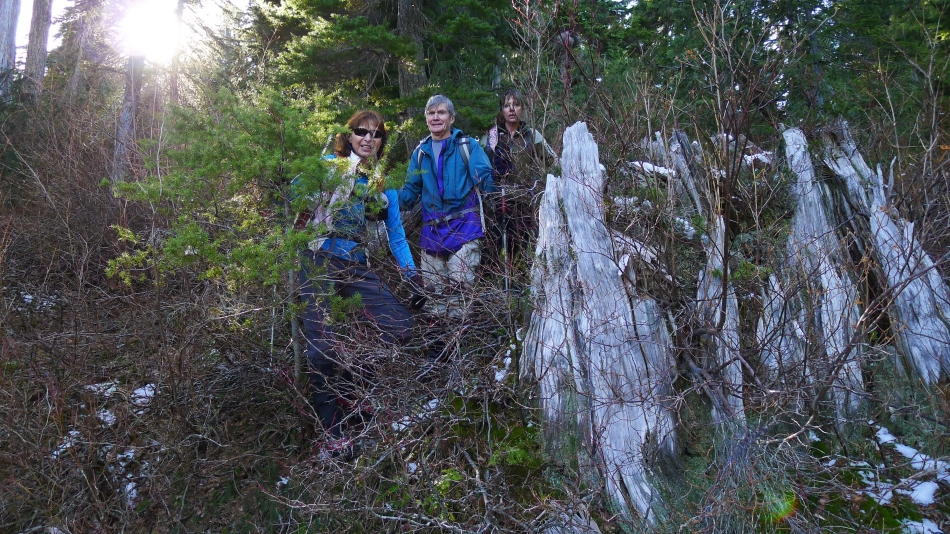
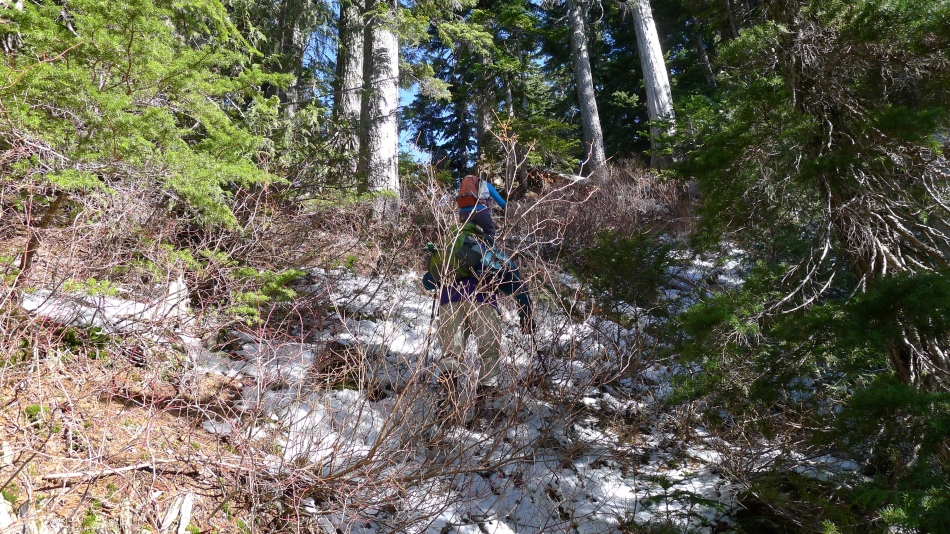
But alas, we did not leave Higher Squire's NE ridge and head back toward Squire Creek Pass... instead, we chose to bushwhack our way down to ~3400 feet where we rejoined the Eightmile Creek Trail... leaving a two mile hike back to the car.
|
