Norse Peak - 3.7.2015
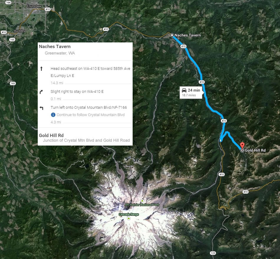
Directions from the Naches Tavern in Greenwood, Washington to the parking area for our hike to Norse Peak... the junction of Crystal Mountain Blvd and Gold Hill Road.
|

My GPS track for our trip to Norse Peak and beyond... a nice loop hike/scramble... 8.72 miles, gaining 3382 feet of elevation.
|
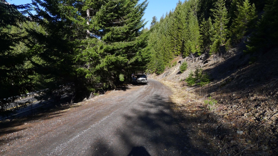
Parking (3920') on Gold Hill Road (a very small sign says it is road 410) at the junction with Crystal Mtn Blvd... which can be seen through the trees on the left.
|
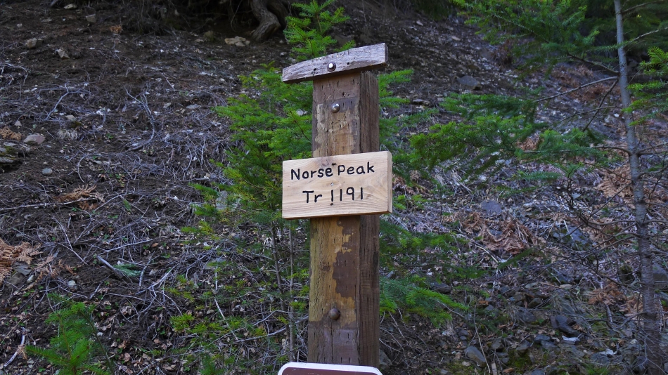
Walk up Gold Hill Road for an eighth of a mile to find the Norse Peak Trailhead.
|
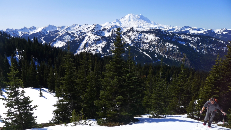
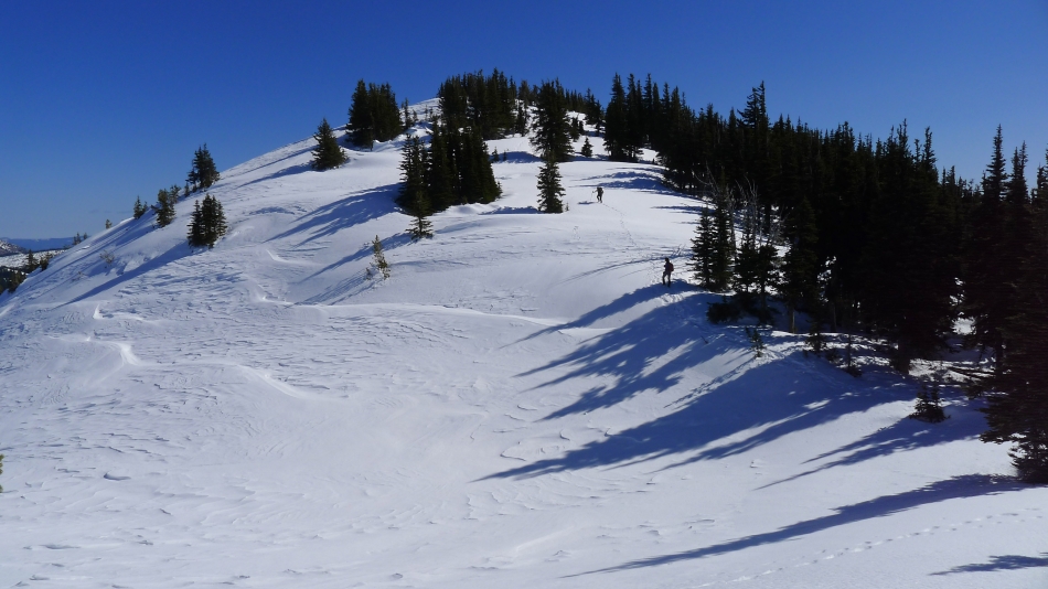
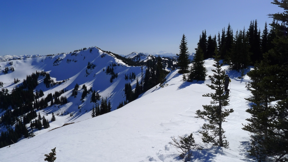
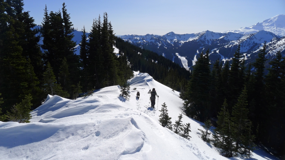
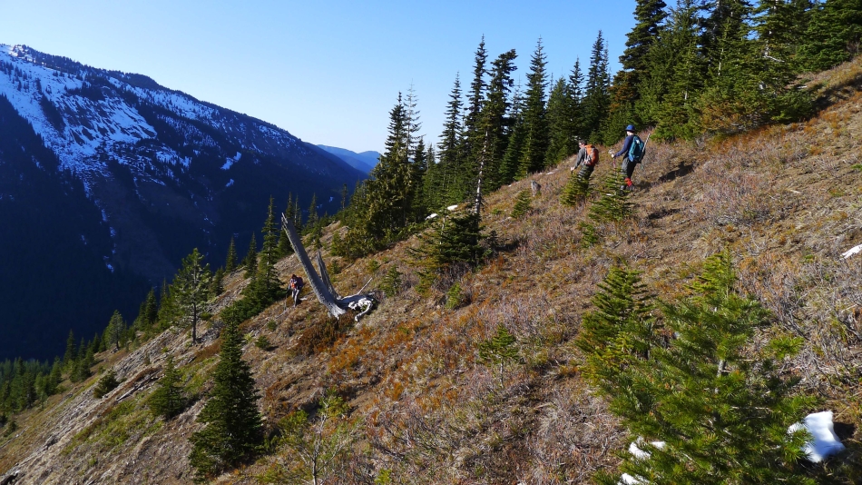
After hiking ~4 miles robman is out of the trees and near the ridge that we will follow to the summit of Norse Peak... this is where the views start to open up.
|
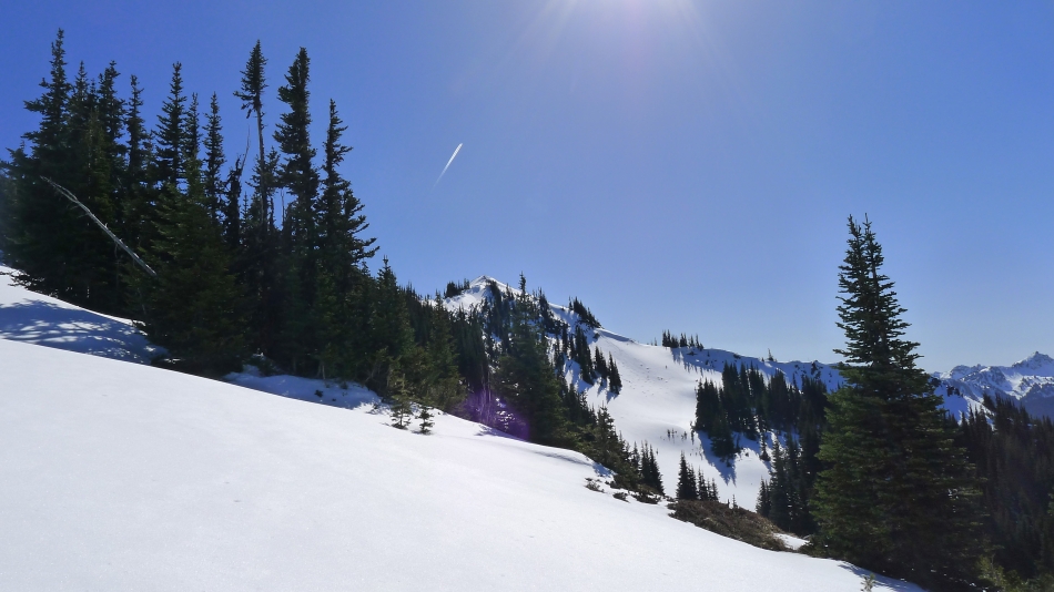
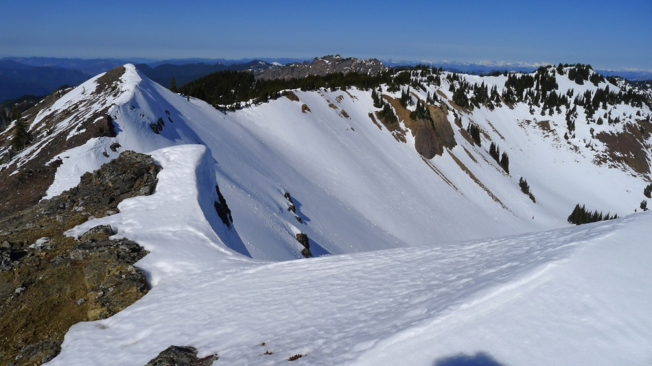
Almost on the ridge... we will eventually cross over the bump in the center of the photo.
|

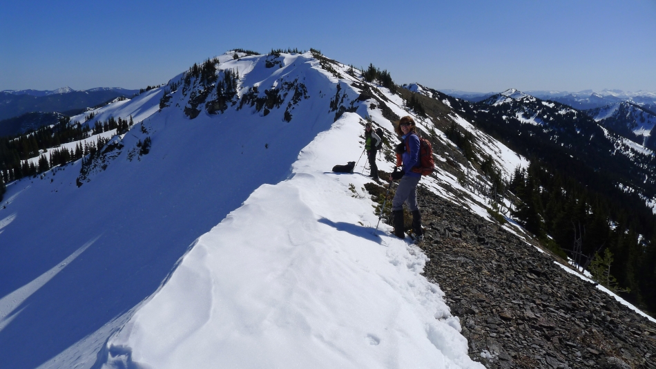
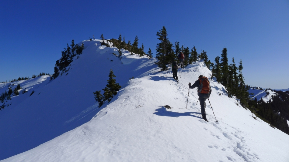
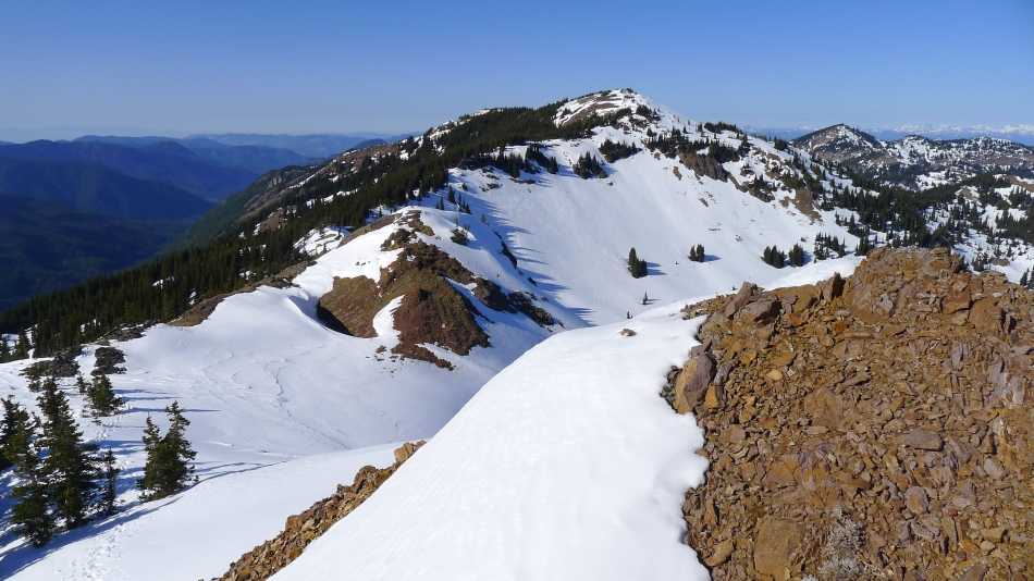
On the ridge (6680')... with a bit of ridge work to do to get over to the summit of Norse Peak.
|

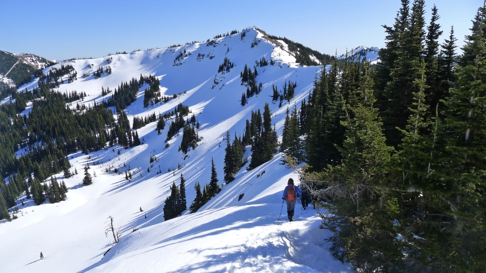
Heading along the ridge toward Norse Peak... we found it easier to stay on the left side of these trees.
|

Snowdog crossing over a bump along the ridge on our way to Norse Peak... Castle Mountain is behind.
|
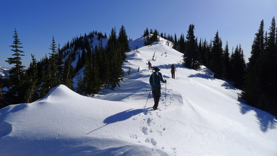
The ladies (Izzy, Snowdog and BarbE) heading for Norse Peak.
|
Izzy on the prowl... there are several ups and downs along the ridge leading to the summit of Norse Peak.
|
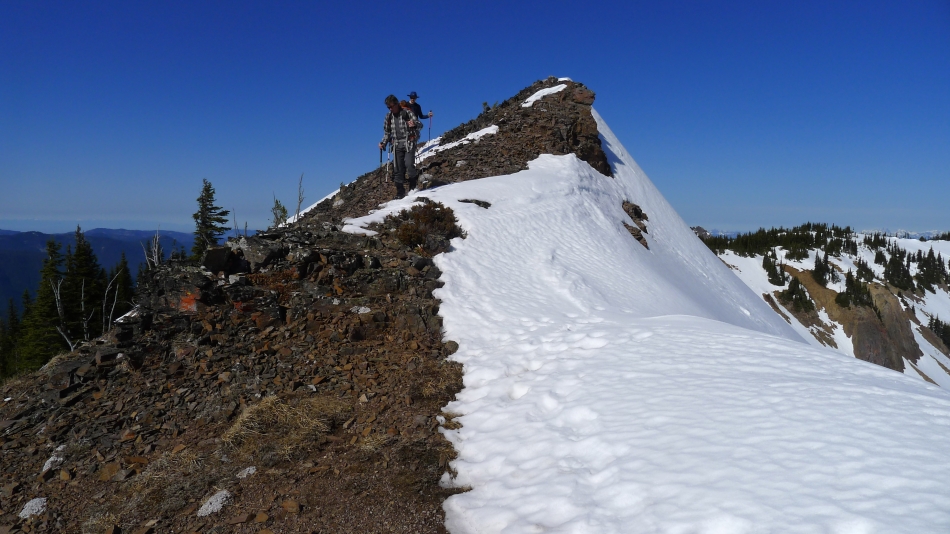
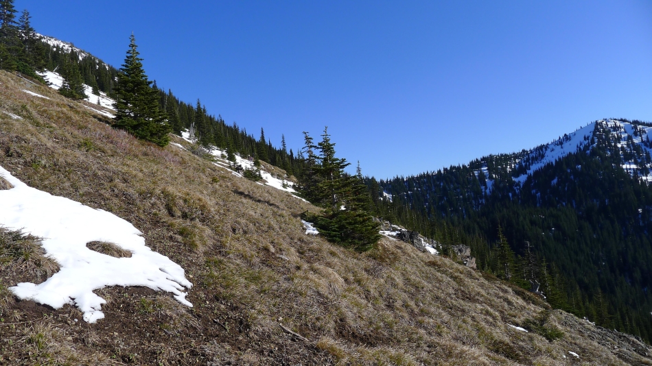
A bit of down before heading up again.
|
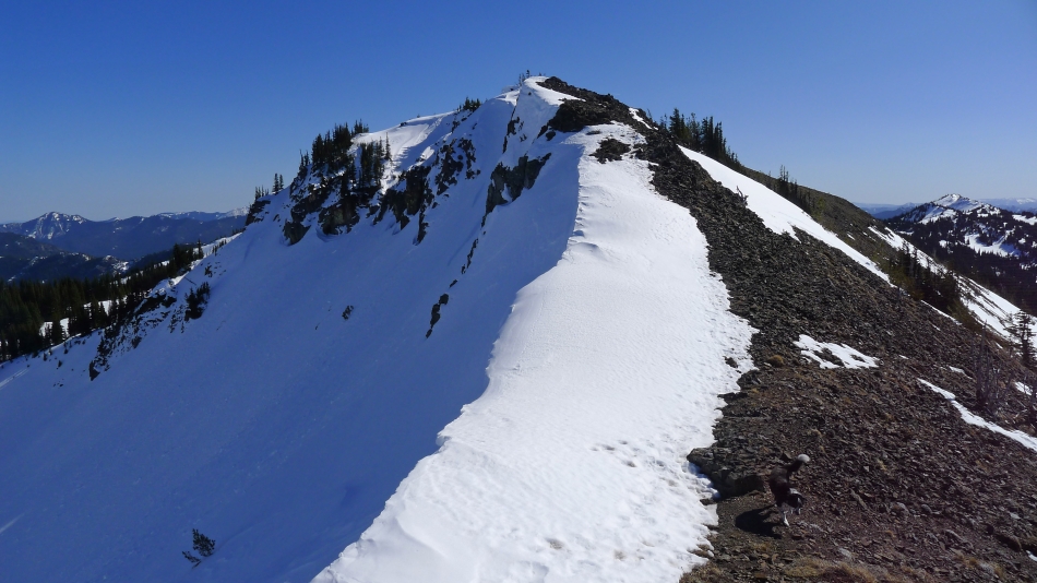
Looking back at our route along the ridge. We gained the ridge in the middle of the photo.
|

Still working the up and down ridge toward Norse Peak.
|
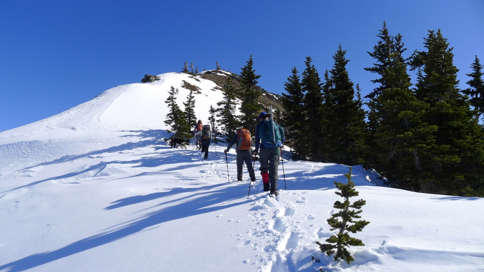
The final push to the summit of Norse Peak.
|

Mountain Rainier from near the summit of Norse Peak.
|
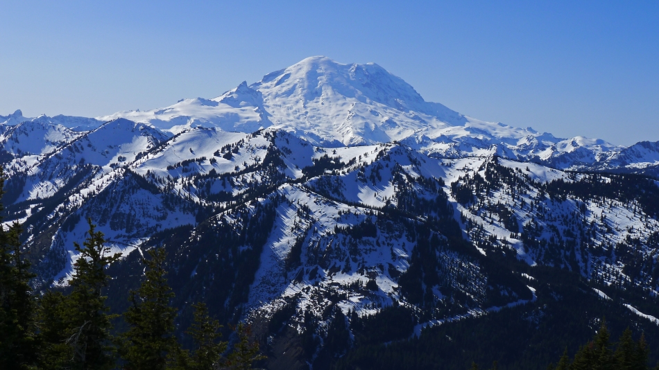
Looking across Crystal Mountain to Mount Rainier from the summit (6856') of Norse Peak.
|
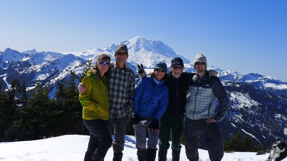
Group shot from the summit of Norse Peak... Snowdog, robman, BarbE, ragman and aceman.
|

The route we will take as we continue our ridge walk south from Norse Peak.
|
Snowdog and Izzy heading for Scout Pass and Point 6760+.
|
BarbE is close to Scout Pass... with Point 6760+ above.
|
Heading up toward Point 6760+ from Scout Pass.
|
Almost to the top of Point 6760+.
|
On Point 6760+ now... looking back at Norse Peak... and the ridge route we used from Norse to here.
|
Beyond Point 6760+ now... continuing south along the ridge... looking for a good exit point to get us down to Bullion Basin.
|
We will leave the ridge when we get over the next bump.
|
Working our way down to Bullion Basin (drainage on the right)... on open, but steep terrain.
|
Working our way down to Bullion Basin.
|
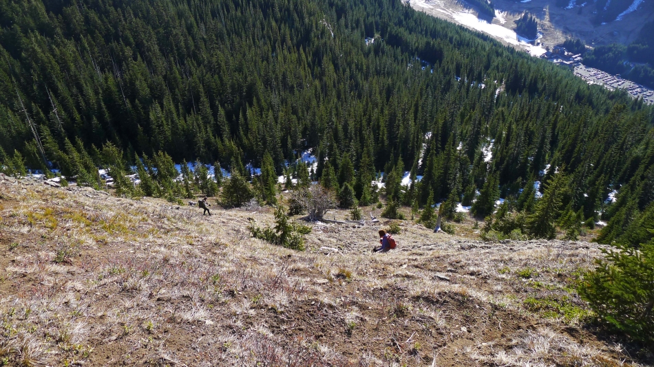
Almost down to easier terrain... but still several hundred feet above the Crystal Mountain Lodge.
|
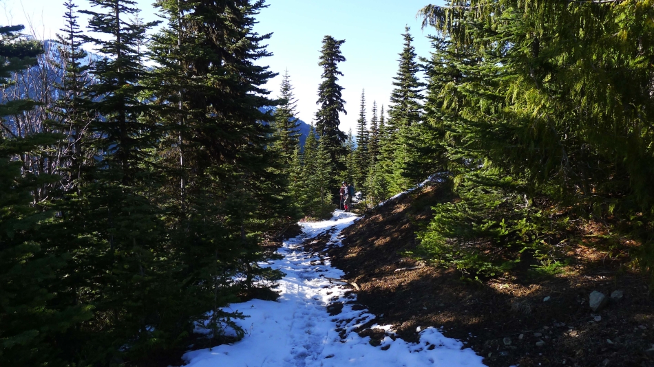
At ~5200 feet we found the trail leading into Bullion Basin... leaving an easy hike down to the Crystal Mountain Lodge (4400')... where Snowdog got the 2 mile ride back to her car... and it was nice of her to drive back to the lodge and pick us up.
|
