Stafford Lookout - 3.26.2015
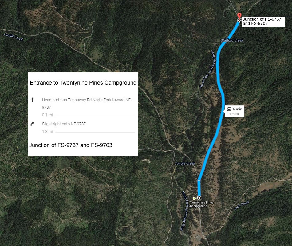
Directions from the entrance to 29 Pines Campground to where we parked at the junction of Forest Service Roads 9703 and 9737.
|
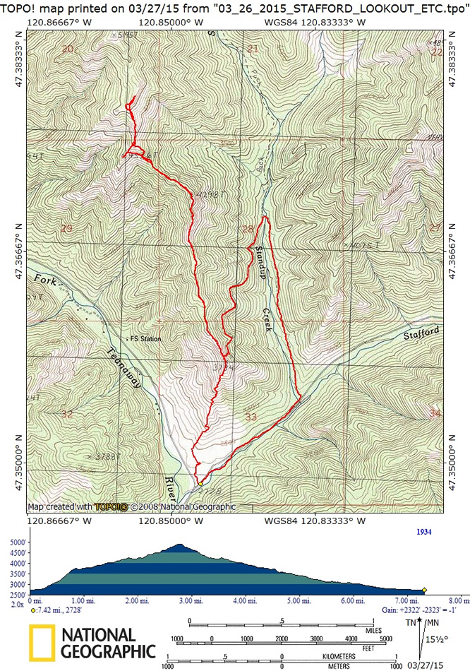
rodman's GPS track of our trip to the Stafford Lookout Site and beyond... 7.5 miles roundtrip, gaining 2322 feet of elevation.
|
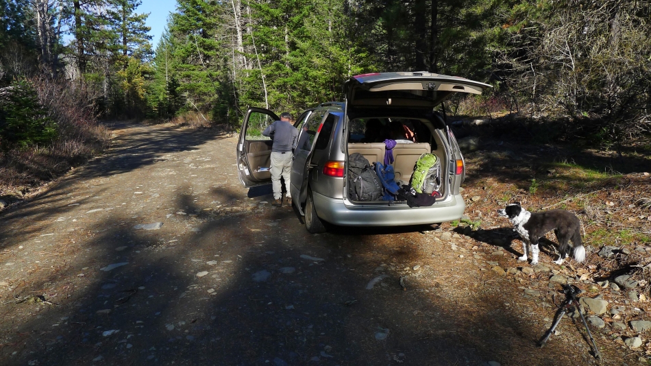
We parked (2728') on the side of the road at the junction of FS-9703 and FS-9737.
|
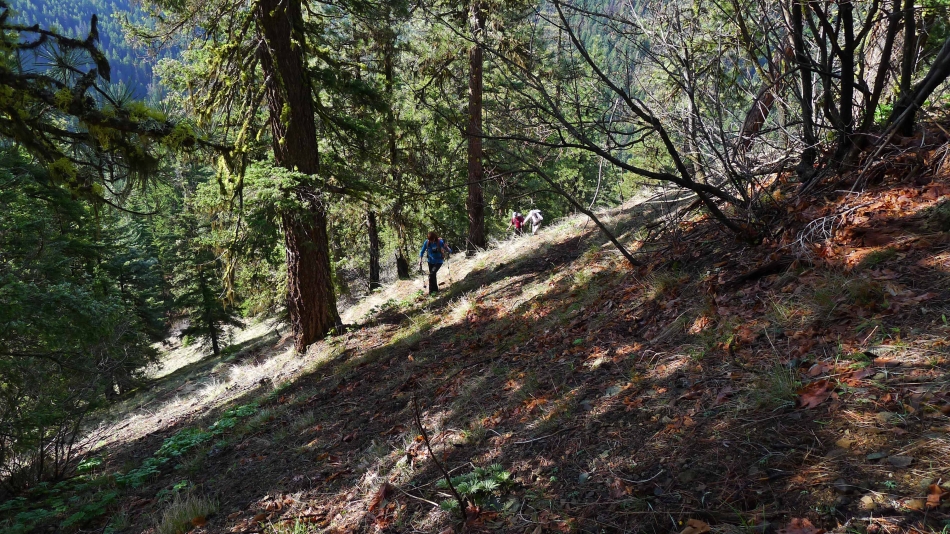
From our parking spot we headed uphill on game trails in a fairly direct line toward the Stafford Lookout Site (aka Point 3784).
|
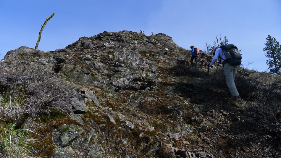
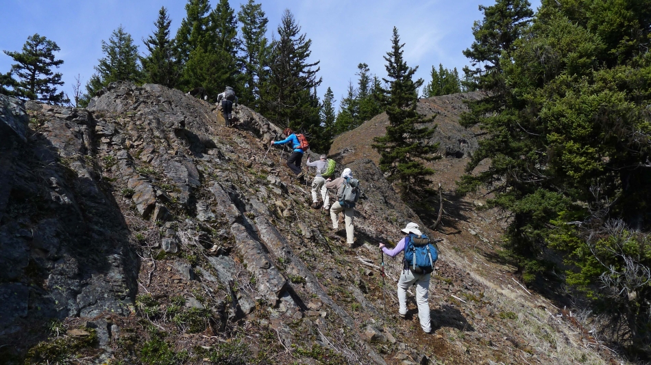
As we near the lookout site we are out of the trees and on steeper terrain.
|
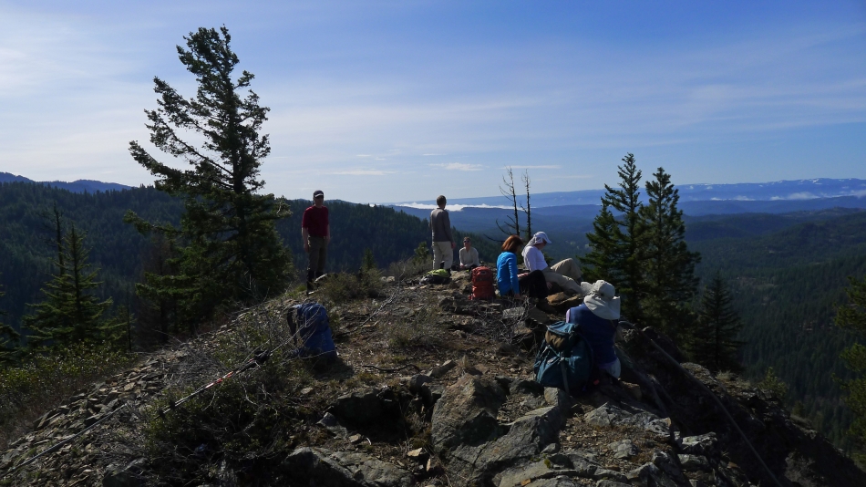
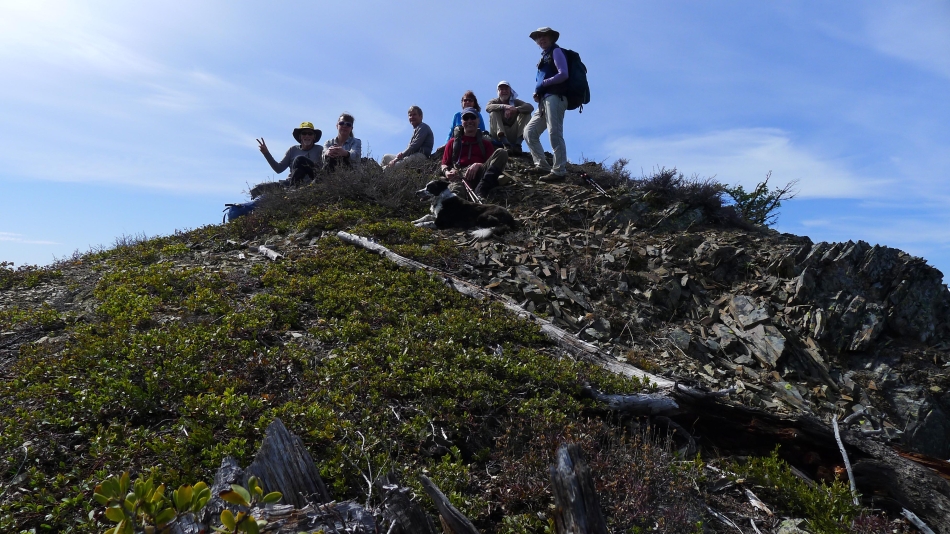
Hanging out at the Stafford Lookout Site (3784').
|
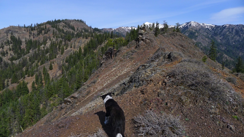
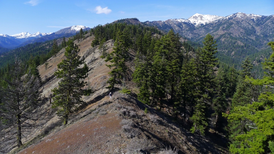
Izzy checks out the ridge that eventually leads to Earl Peak (snow-capped mountain in the center of the photo)... we are heading for Points 4298 and 4536 on the left side of the photo.
|
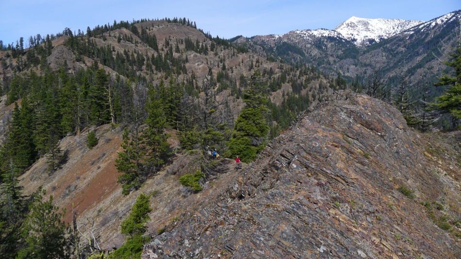
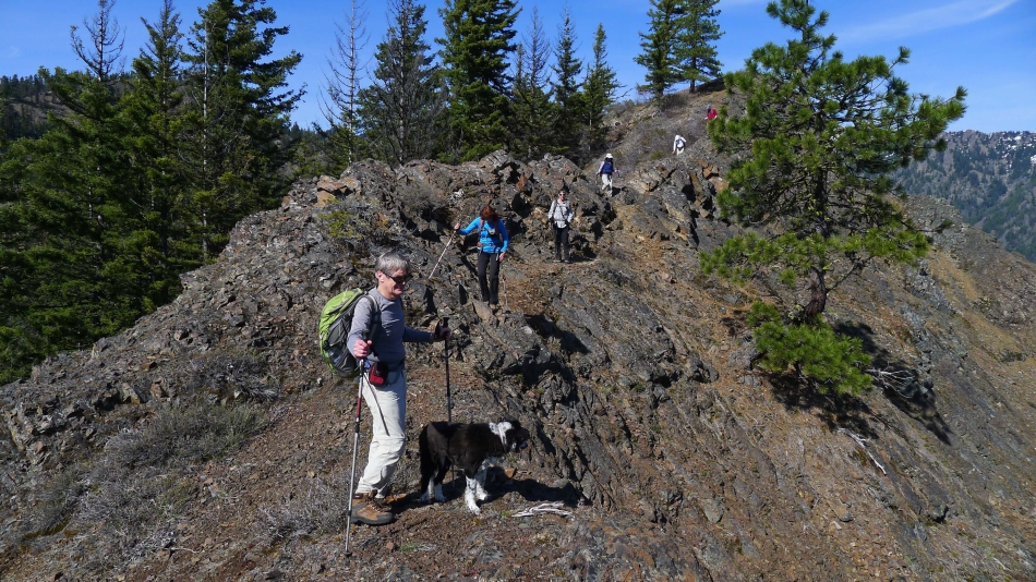
There are some ups and downs on the way to Points 4298 and 4536.
|
Group shot on Point 4536.
|
We were so energetic that we decided to do a few more ups and downs and go to Point 4880+ and make that our high point for the day.
|
Now on our way back to the Stafford Lookout Site... this is a fun ridge walk.
|
I'm back at the Stafford Lookout Site and watching the troops working their way back to the lookout... Hawkins Mountain and Esmeralda Peaks on the left... with Earl Peak on the right.
|
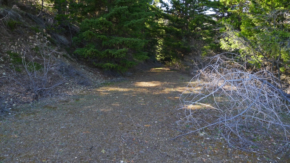
We decided to loop our way back to the car... finding the abandoned road 150 feet below the lookout... which we will follow ~.75 miles to the Standup Trailhead.
|
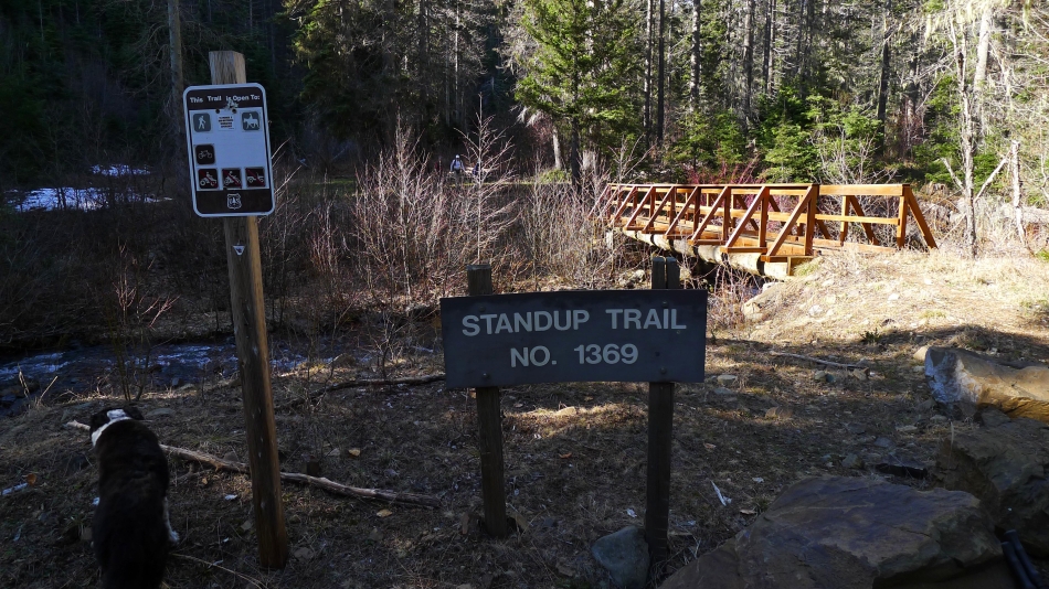
We have reached the Standup Trailhead (3100') and will follow Road 112 for ~1 mile down to FS-9703.
|
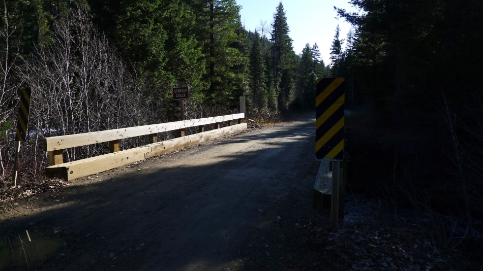
We have reached FS-9703 and have a .75 mile road walk to get back to our car.
|
