Eisenhower Mountain - 4.6.2015
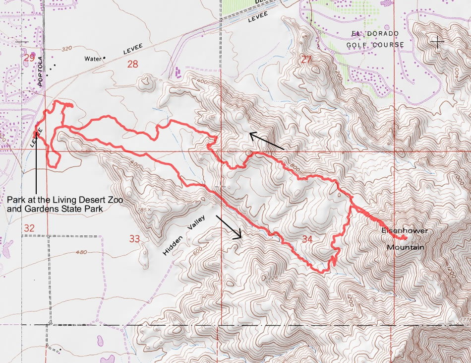
A photo of our GPS Track for our trip to Eisenhower Mountain in the Santa Rosa Mountains... 7.3 miles roundtrip, gaining 1788 feet of elevation.
|
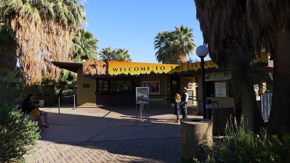
The hike starts with paying admission to get into The Living Desert Zoo & Gardens State Park.
|
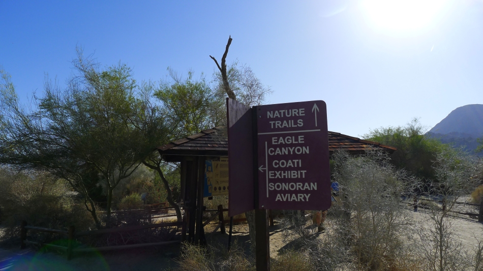
Once inside the park, follow the 'Nature Trail' signs.
|
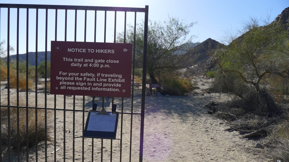
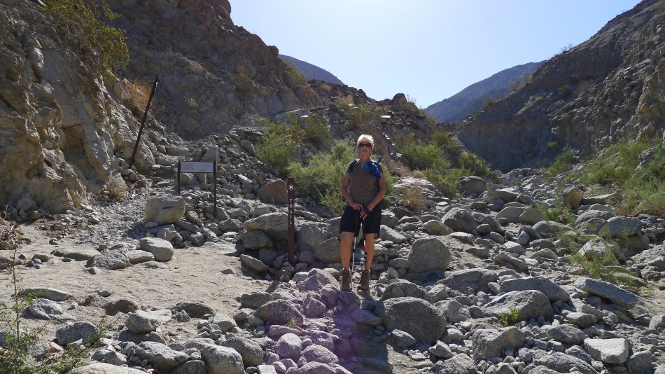
Sign the register and make sure you are back by 4:00 pm.
|
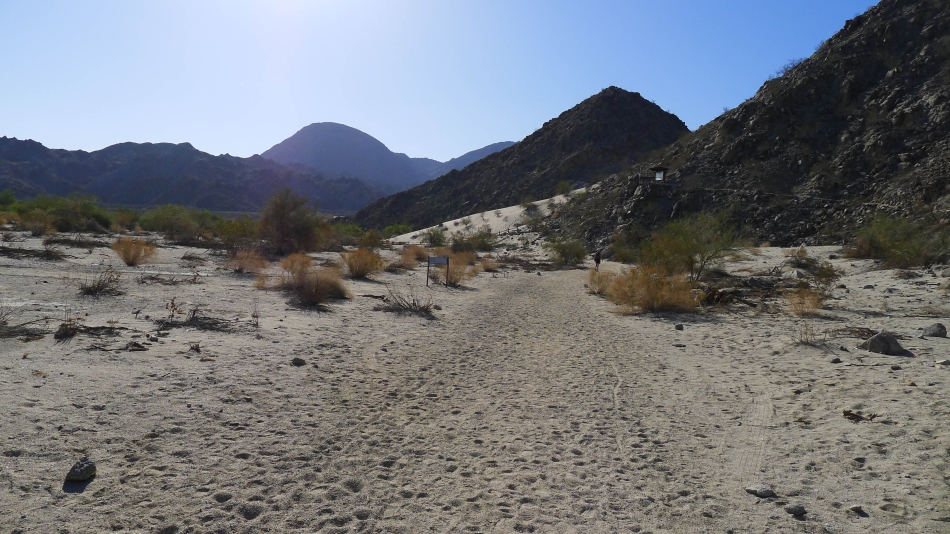
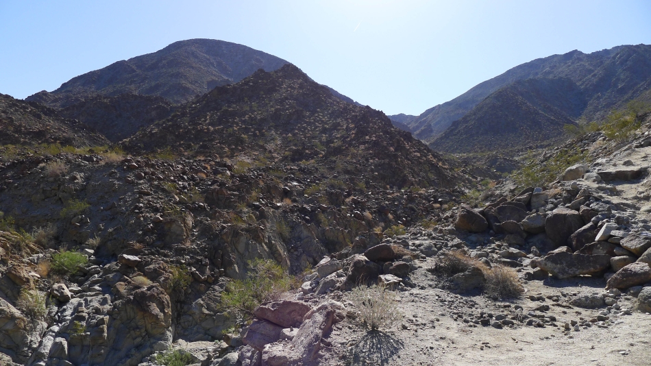
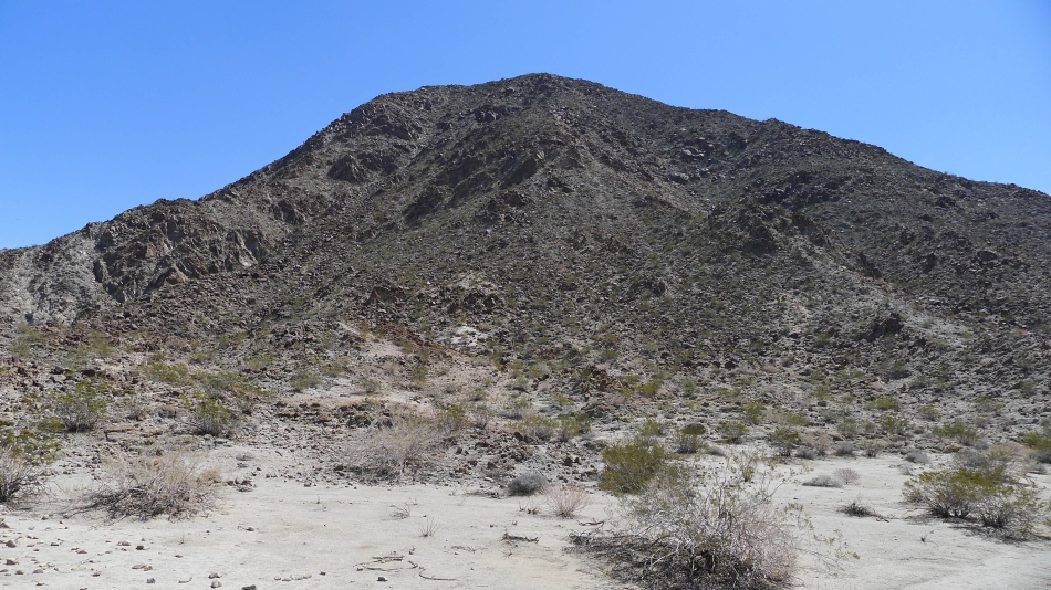
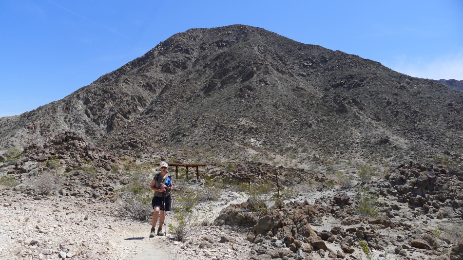
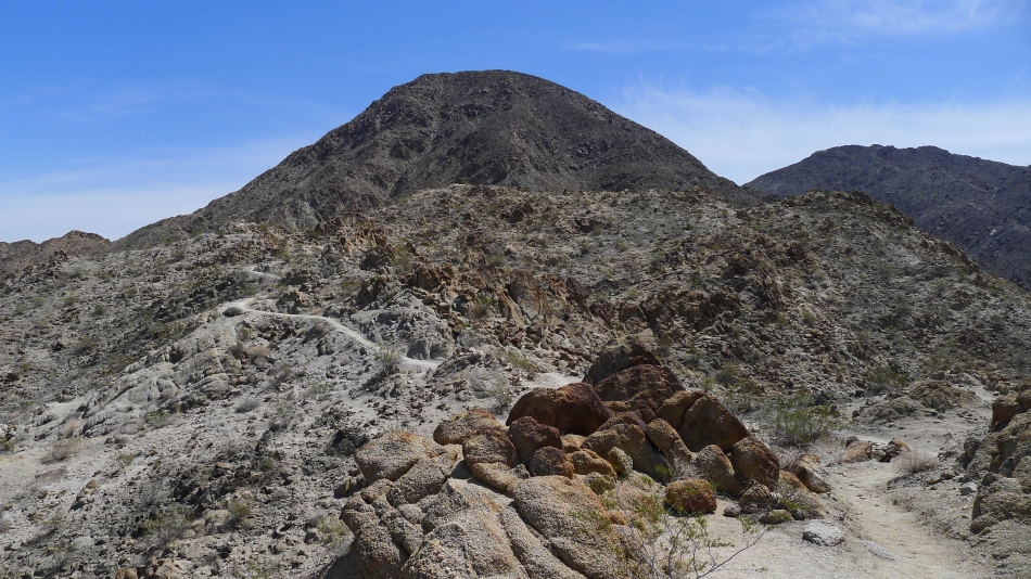
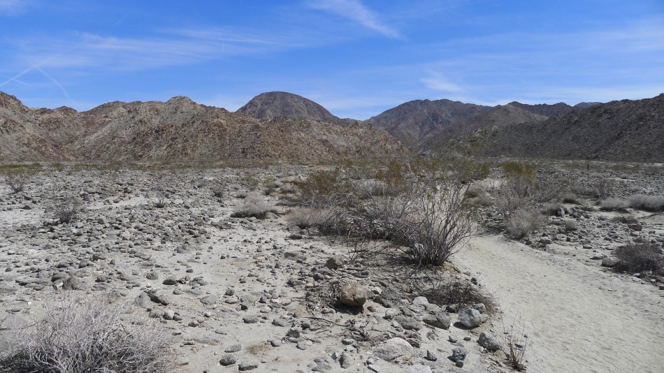
Heading for Eisenhower Mountain... the rounded summit in the left-center of the photo.
|
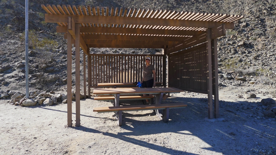
There are several of these picnic shelters along the trail.
|
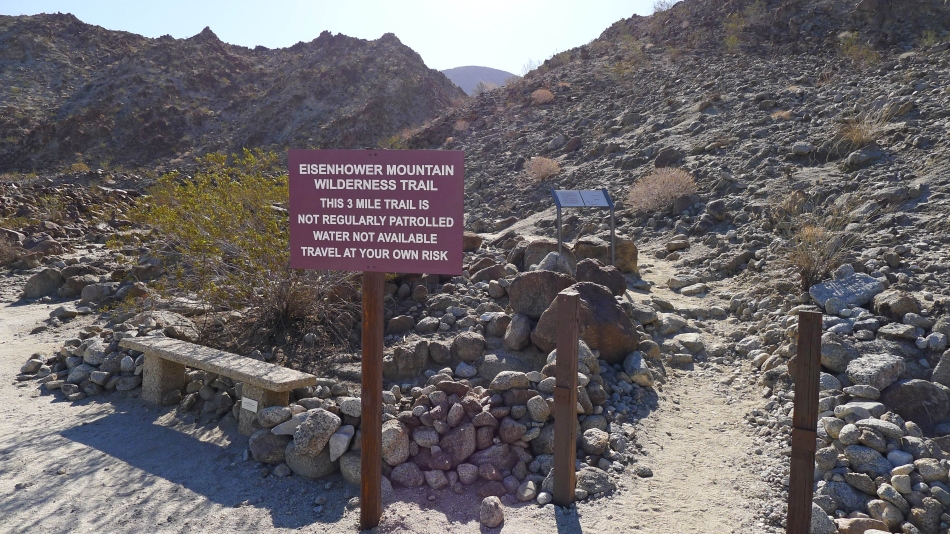
Starting up the unpatrolled portion of the trail.
|
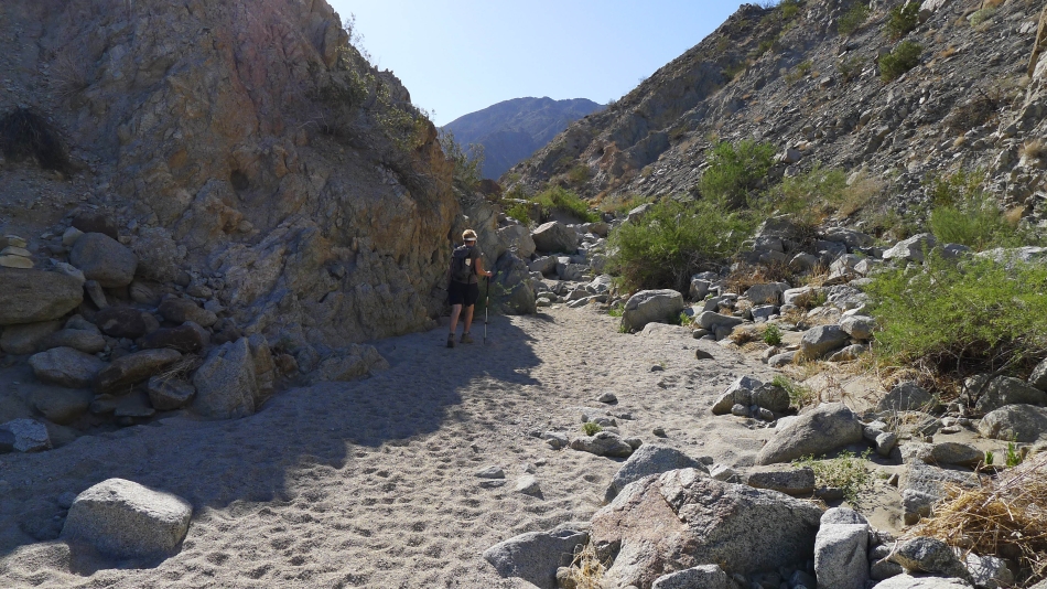
The trail goes a quarter-mile or so up a canyon.
|
Time to get out of the canyon and head uphill.
|
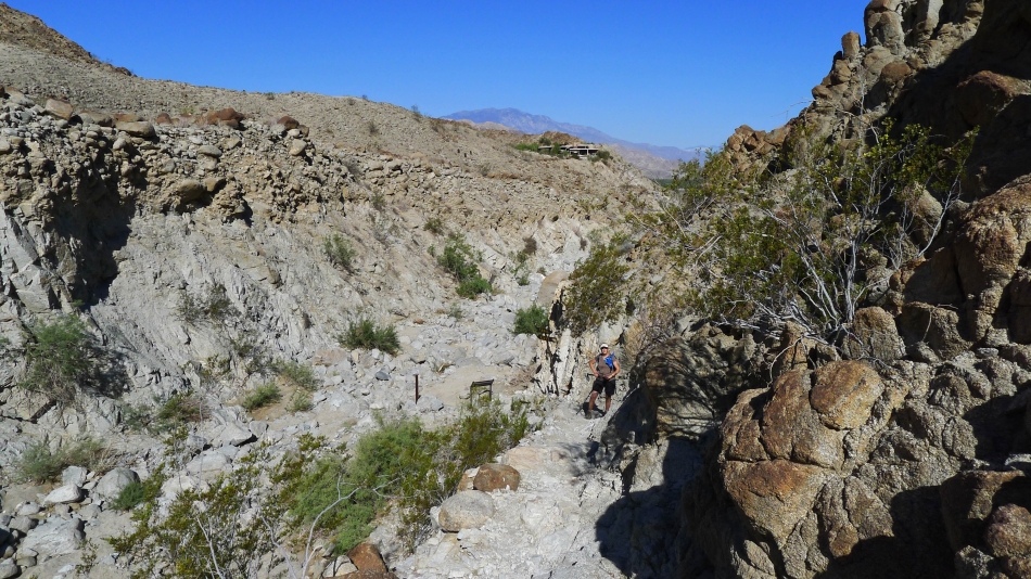
Denali Girl is out of the canyon and going uphill.
|
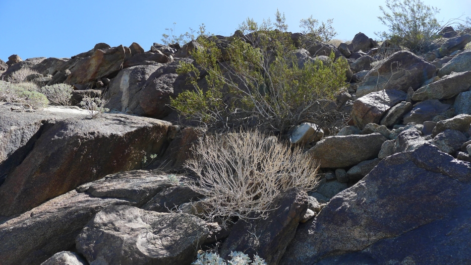
The terrain is a little more rugged now.
|
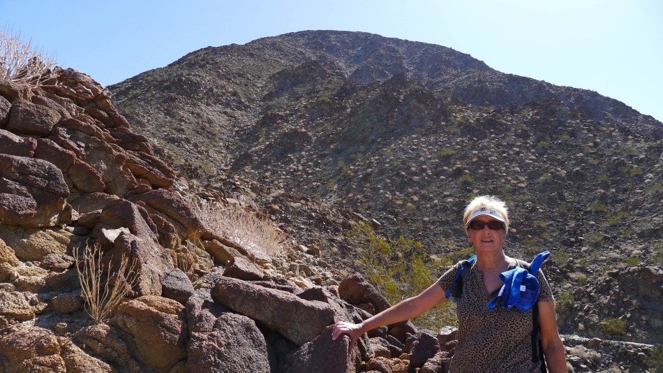
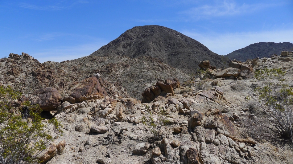
Denali Girl and Eisenhower Mountain.
|
High enough now to see the San Jacinto Mountains on the left.
|
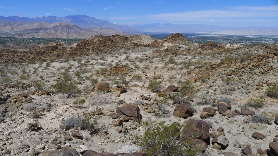
At ~1000 feet we have reached a plateau area right below Eisenhower Mountain.
|
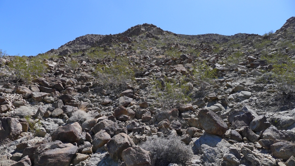
Starting cross country for the summit... very rocky.
|
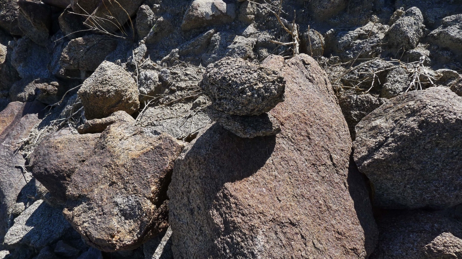
I saw several cairns as I started up.
|
Denali Girl took this shot of me on the way to the summit.
|
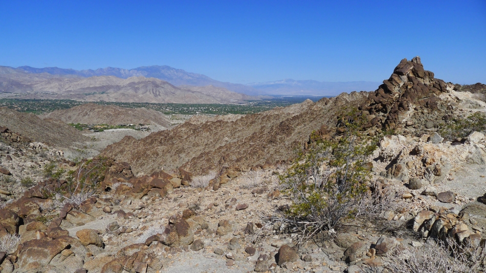
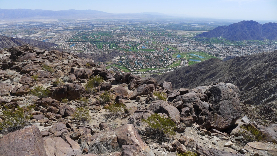
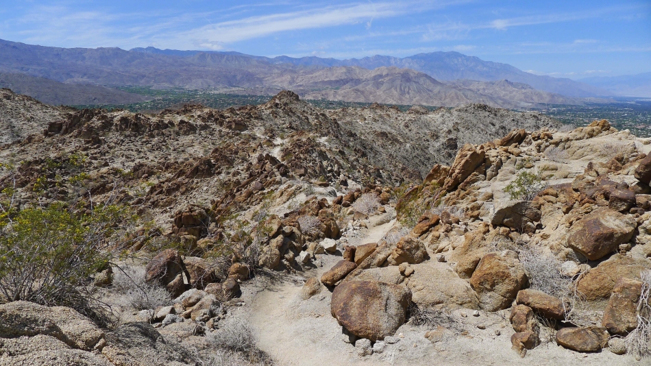
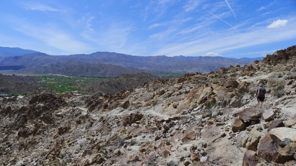
Ascending and looking down on the trail... and out to Coachella Valley and the San Jacinto Mountains.
|
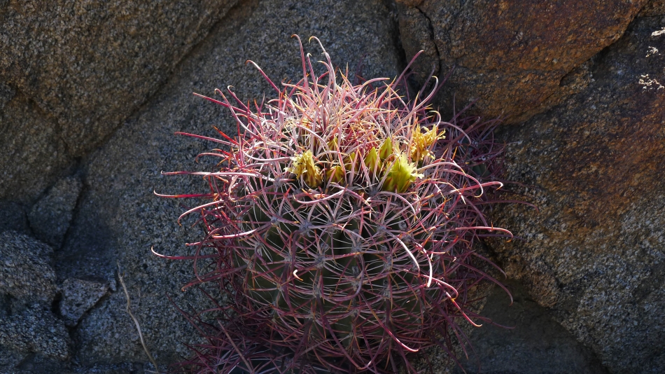
Lots of barrel cactus on the hillside.
|
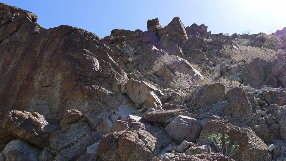
Looking up... steep and crumbly.
|
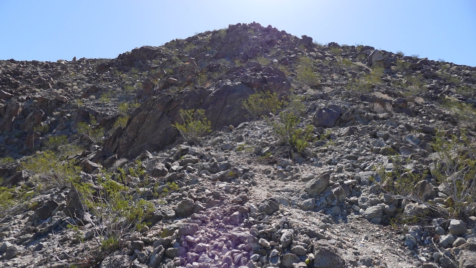
Still heading up.
|
Almost to the summit.
|
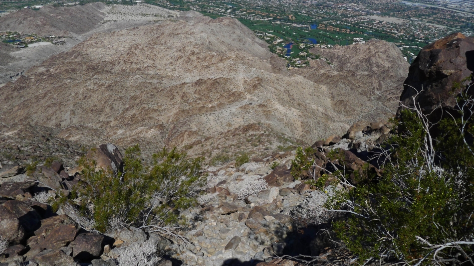
Looking down... Denali Girl is at the picnic table in the exact center of the photo next to the trail.
|
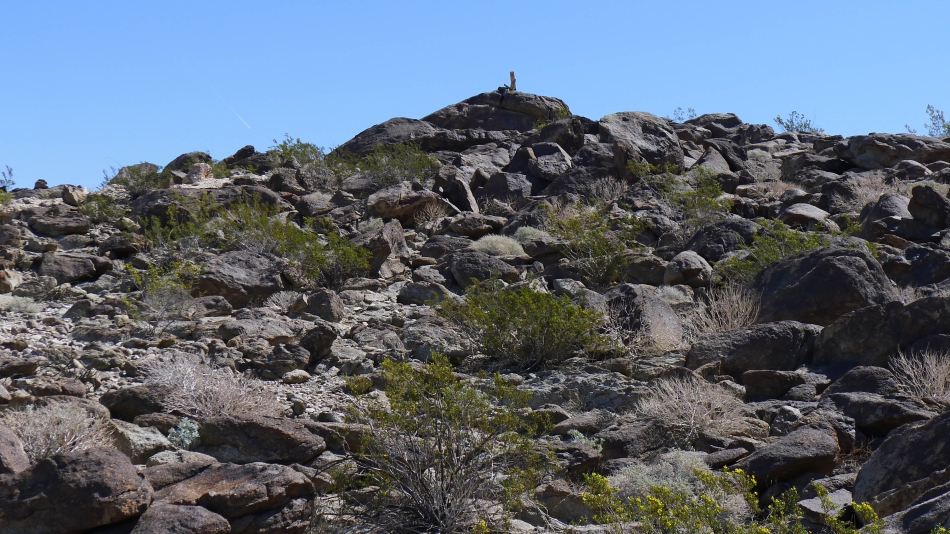
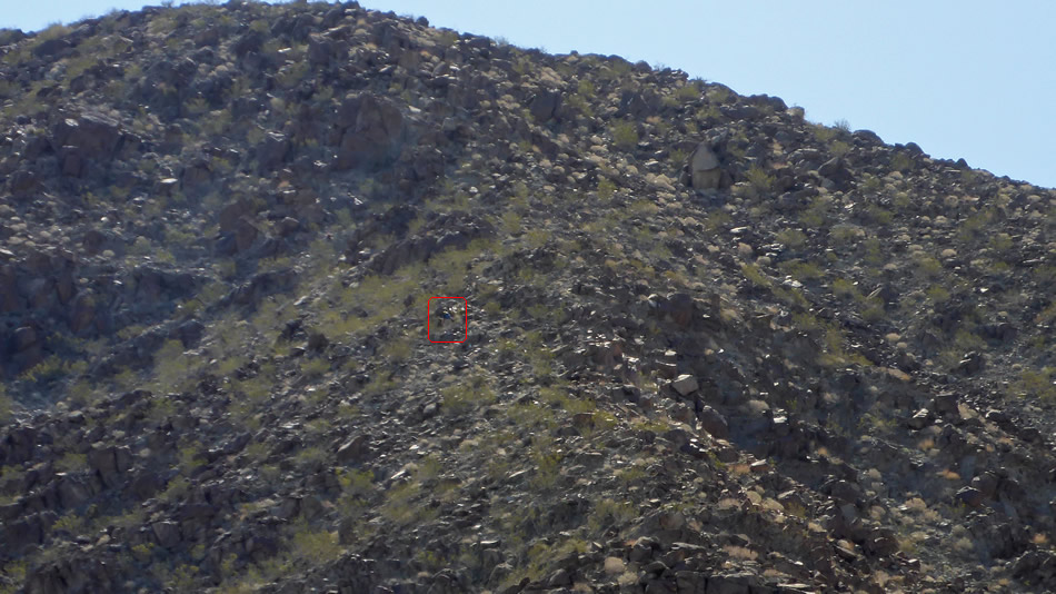
That looks like the summit.
|
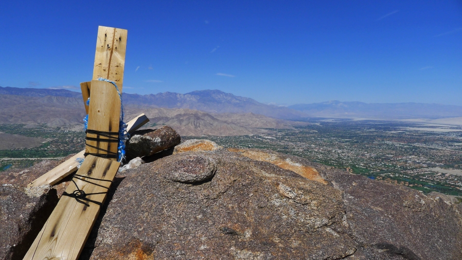
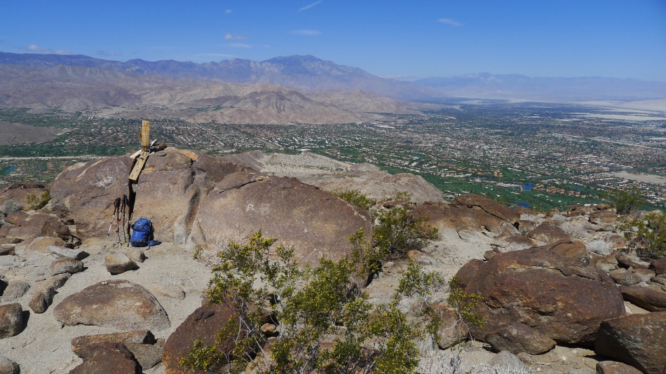
At the Eisenhower Mountain summit (1952').
|
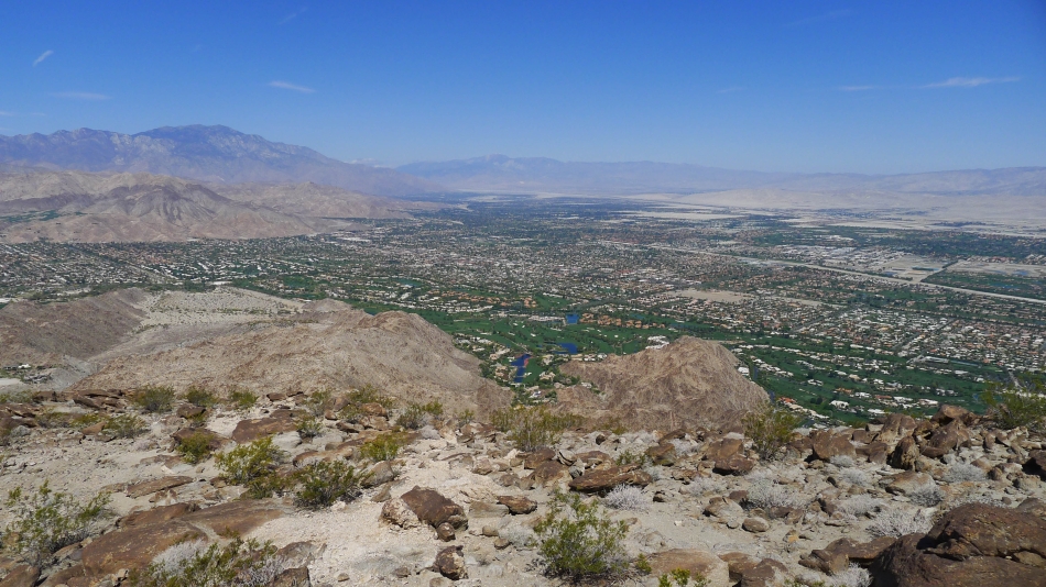
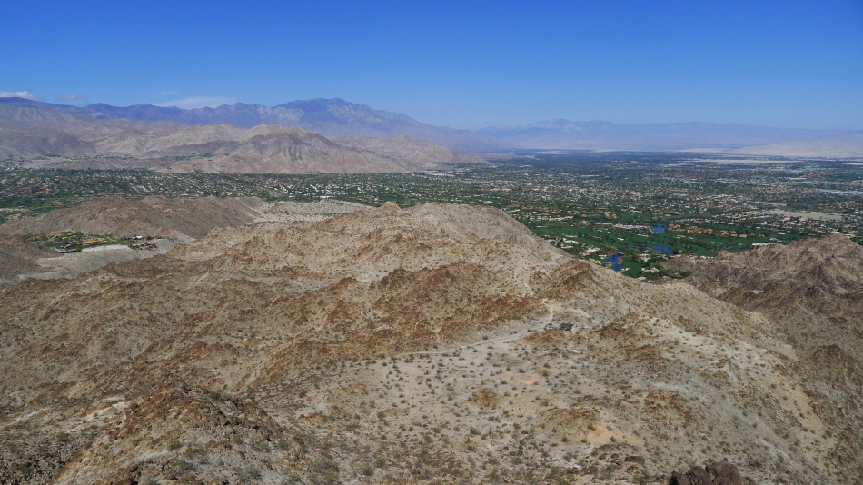
Looking down on Coachella Valley... Palm Springs is down there somewhere... San Jacinto Mountains on the left... San Gorgonio Peak is on the horizon in the center of the photo.
|
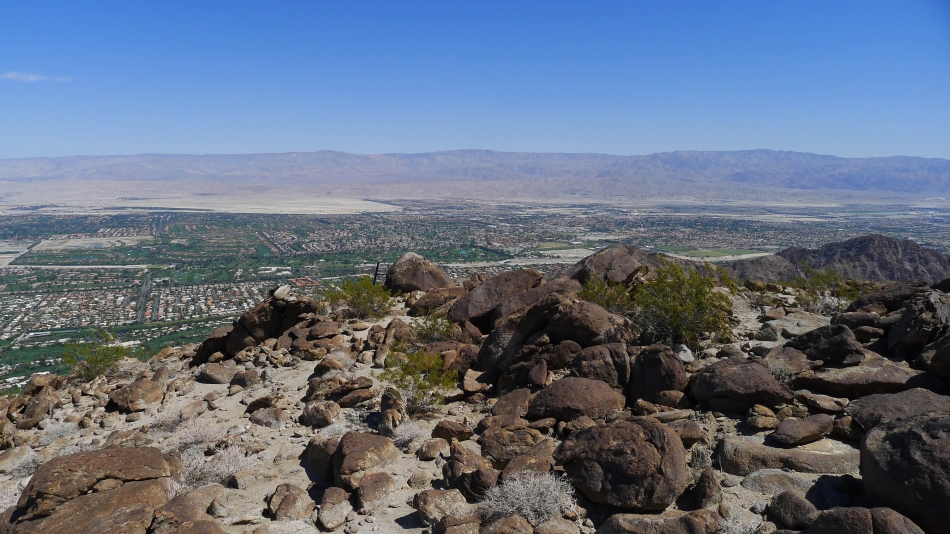
Looking across Coachella Valley to the Little San Bernardino Mountains.
|
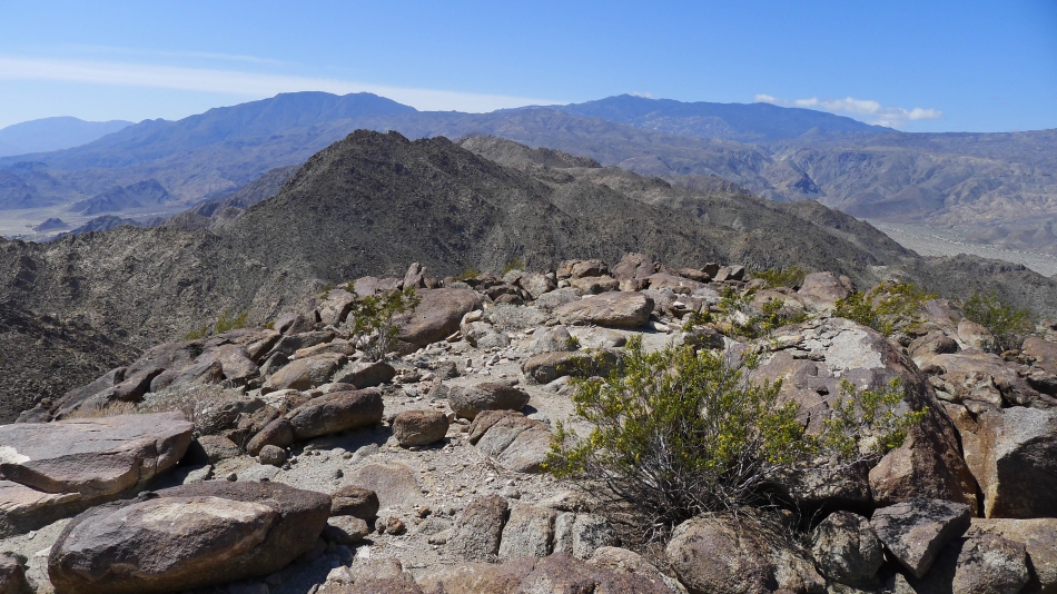
The Santa Rosa Mountains from the Eisenhower summit.
|
Looking south toward the Salton Sea.
|
The summit area... looking north toward the San Jacinto Mountains.
|
Back down at the trail and picnic table.
|
I found Denali Girl at the picnic table.
|
Heading back to the car... and looking back at Eisenhower Mountain.
|
The trail winds through some very cool terrain.
|
Looking back at Eisenhower.
|
Still heading down.
|
Looks like we are on the way to play some golf.
|
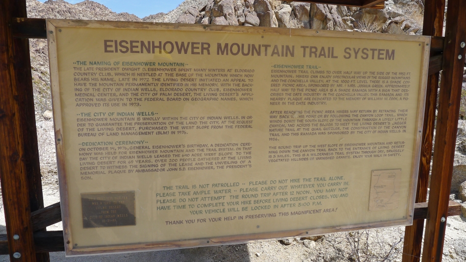
Some history on the Eisenhower Trail System.
|
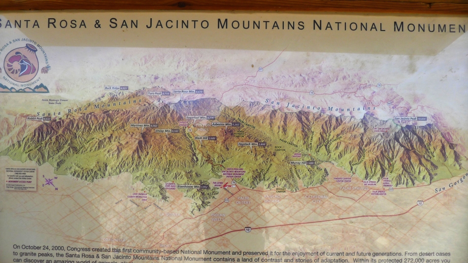
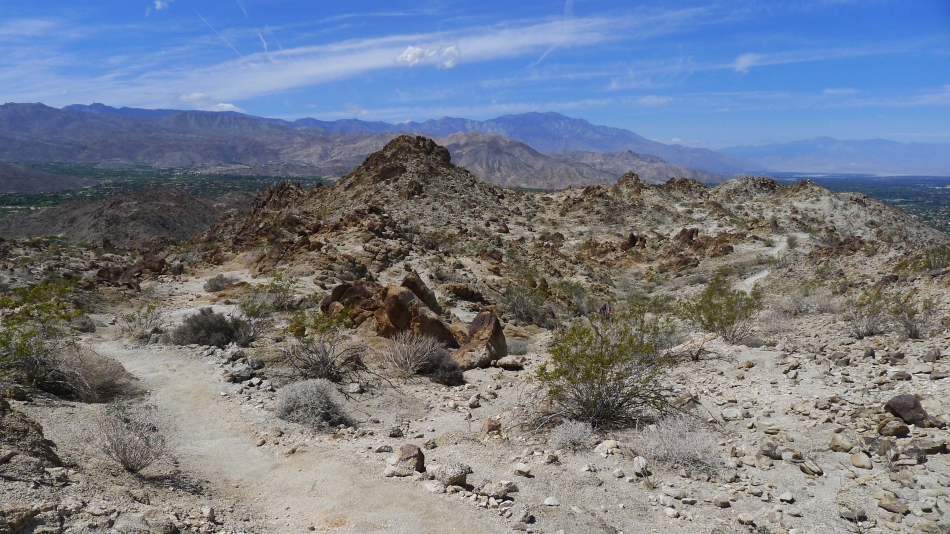
A look at the Santa Rosa and San Jacinto Mountains.
|
So long Eisenhower.
|
