Warren Peak - 4.8.2015
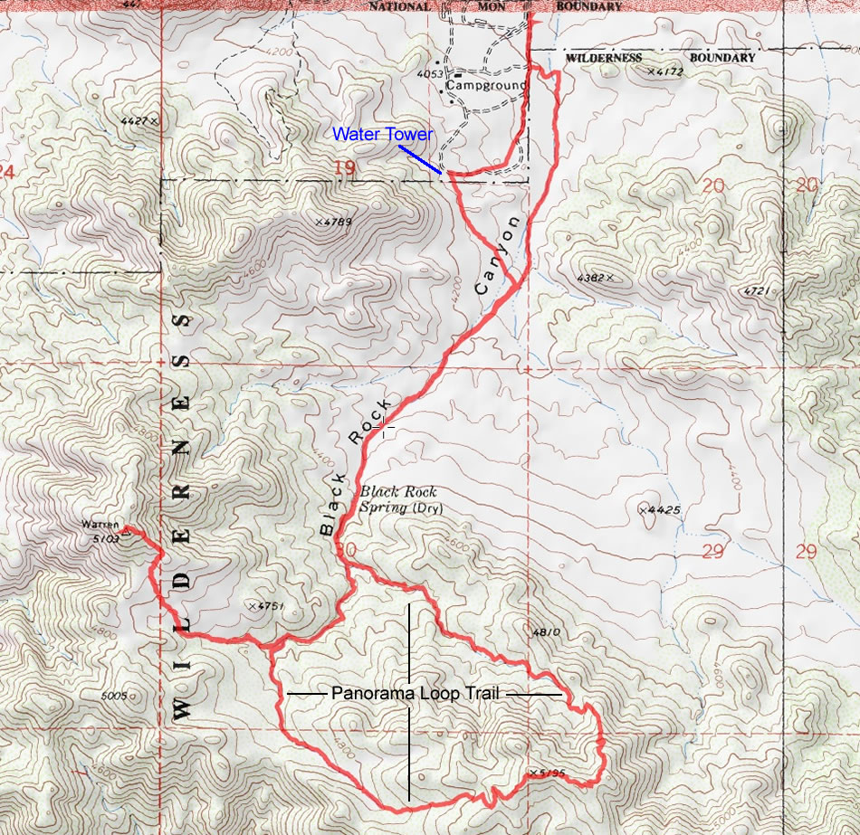
A photo of our GPS track to Warren Peak and the Panorama Loop in Joshua Tree National Park... 8.4 miles roundtrip, gaining 1881 feet of elevation.
|
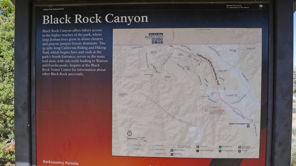
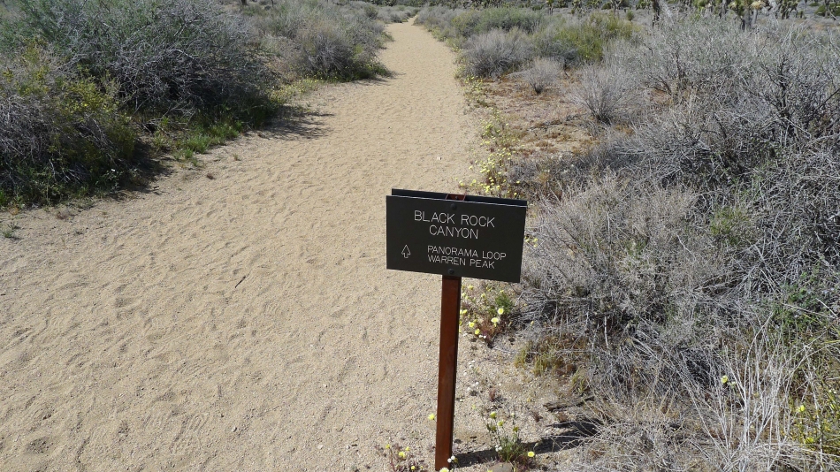
We started this hike at the trailhead for Black Rock Canyon... near the Black Rock Canyon Campground.
|
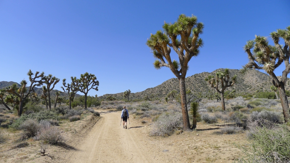
From the trailhead information board we decided to begin our hike on a service road and follow the road up toward a water tower. We did this because it is easier to hike on the service road than hiking in a sandy wash.
|
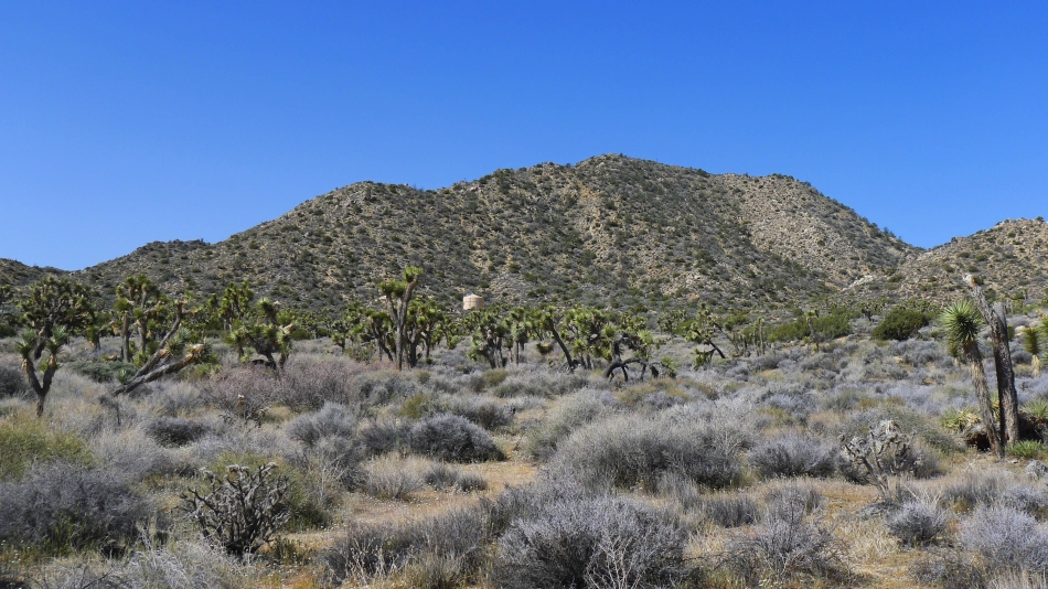
We will follow the service road until it nears the water tower in the center of the photo.
|
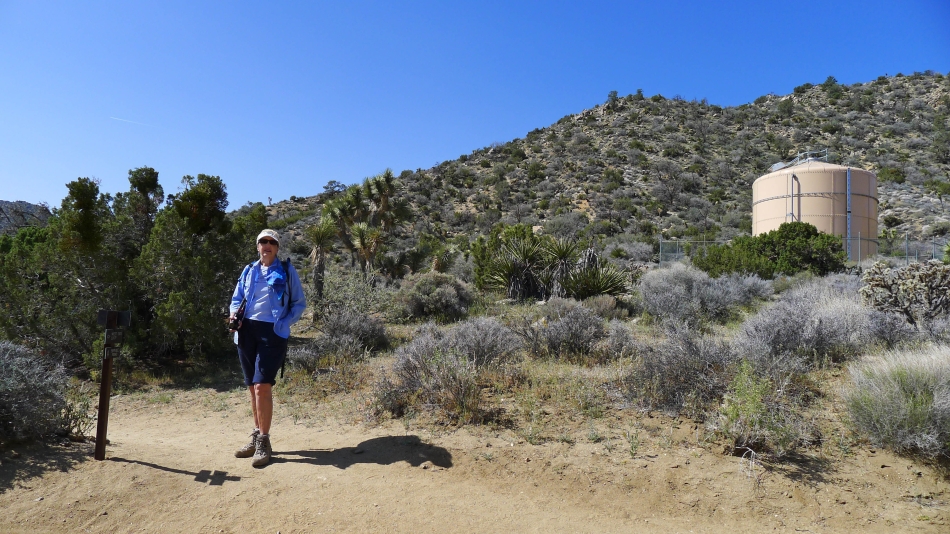
We are near the water tower... and found a trail sign.
|
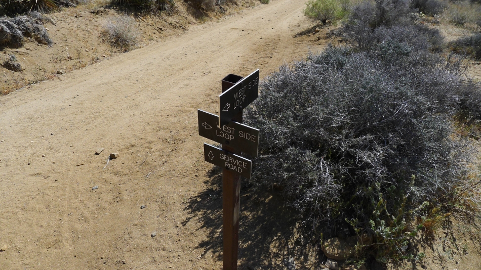
The trail sign near the water tower... we will follow the West Side Loop trail for a short distance.
|
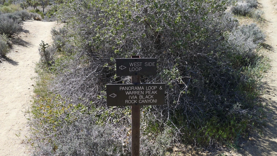
After hiking the West Side Loop trail for a short distance, we will now take the Panorama Loop and Warren Peak trail.
|
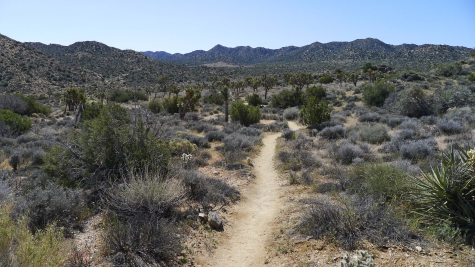
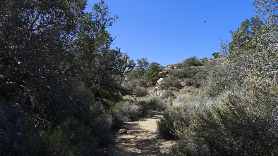
Now hiking toward Black Rock Canyon.
|
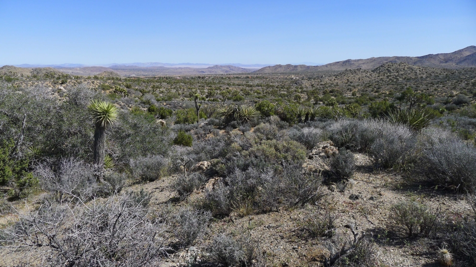
Looking down Black Rock Canyon toward the campground and Yucca Valley.
|
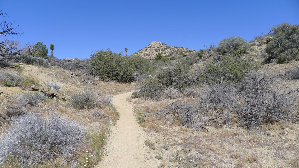
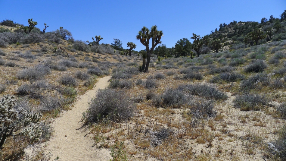
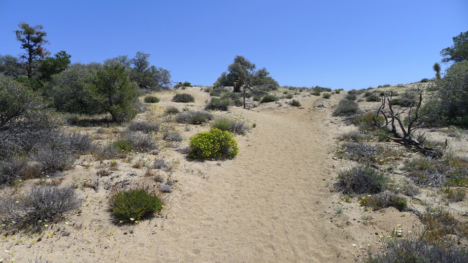
Now hiking in a wash.
|
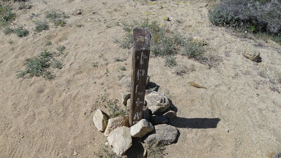
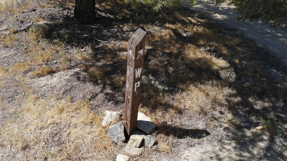
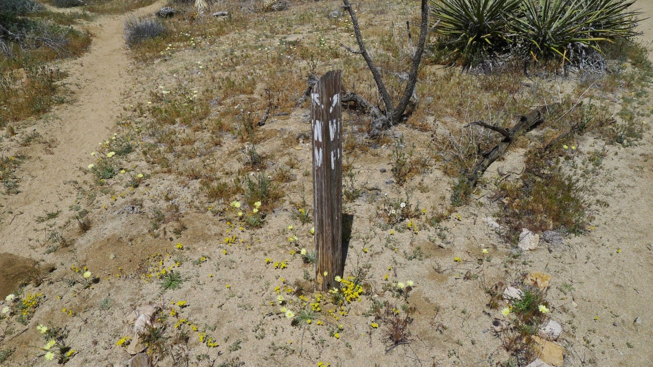
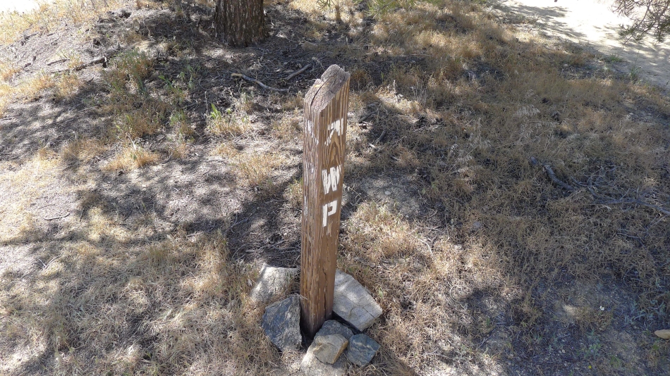
From here on we will see signs like this... 'PL' means Panorama Loop... and 'WP' means Warren Peak.
|
Hiking in the wash in Black Rock Canyon.
|
Continuing in the wash.
|
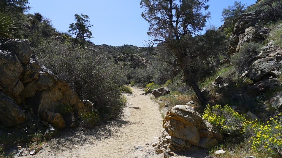
Gaining elevation in the wash.
|
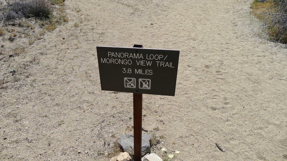
Panorama Loop to the left... and Warren Peak to the right... we will do Warren Peak and then return to this spot and do the loop.
|
'WV' means Warren View... so we will stay to the right and head for the peak.
|
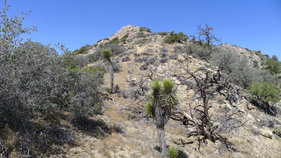
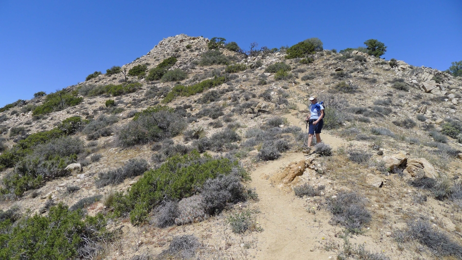
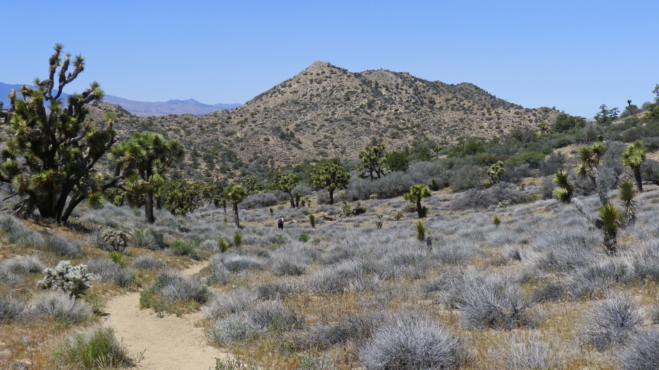
Now we can see the summit.
|
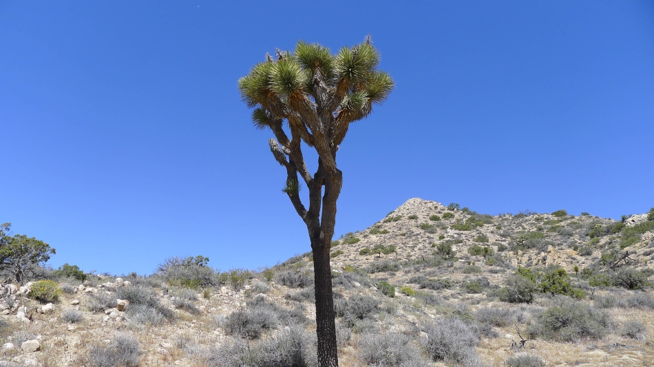
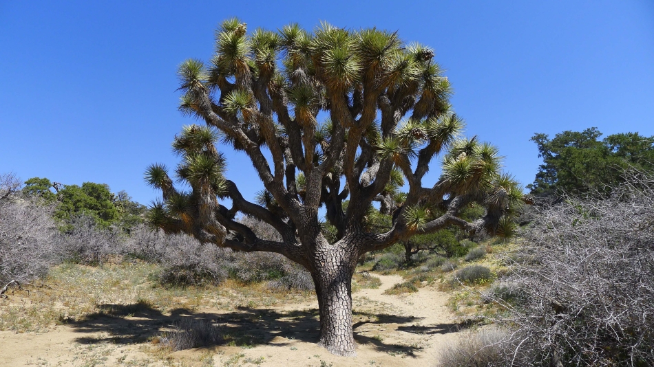
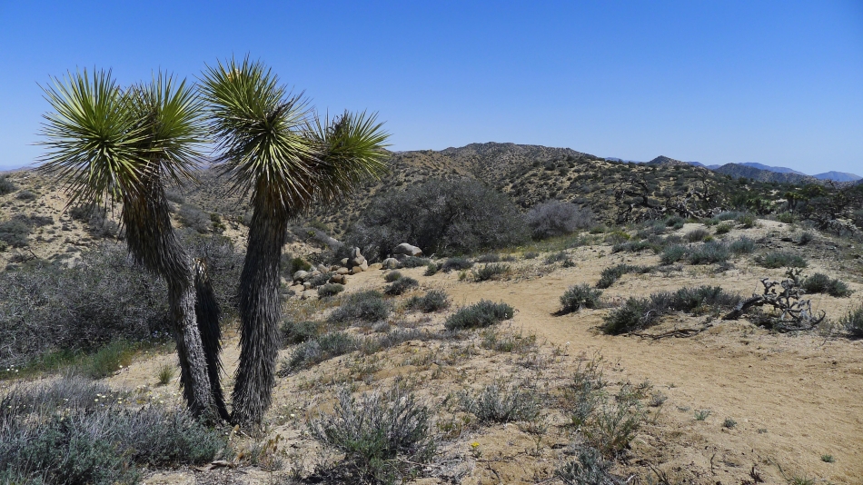
A joshua tree and the Warren Peak summit.
|
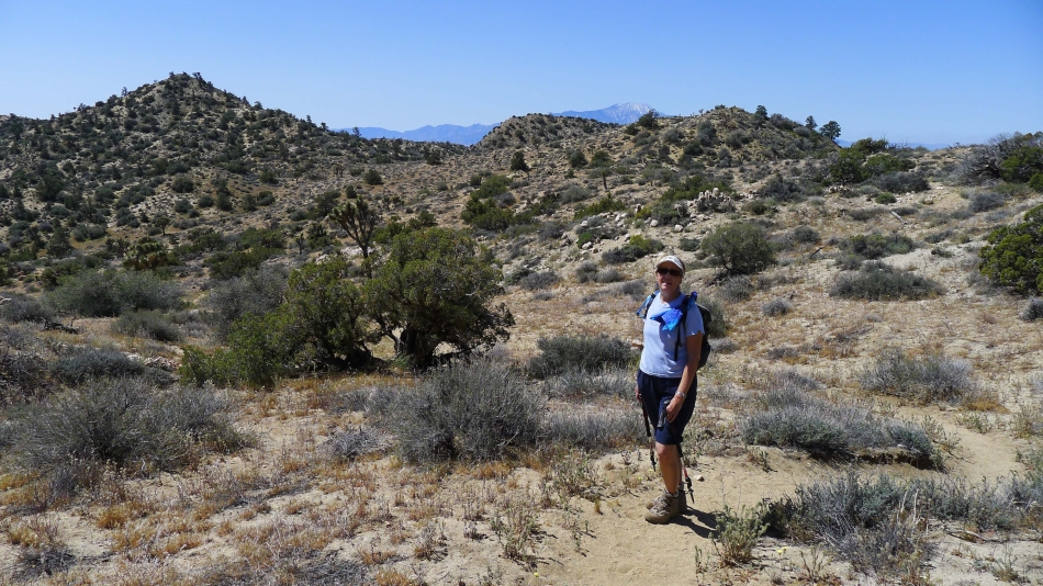
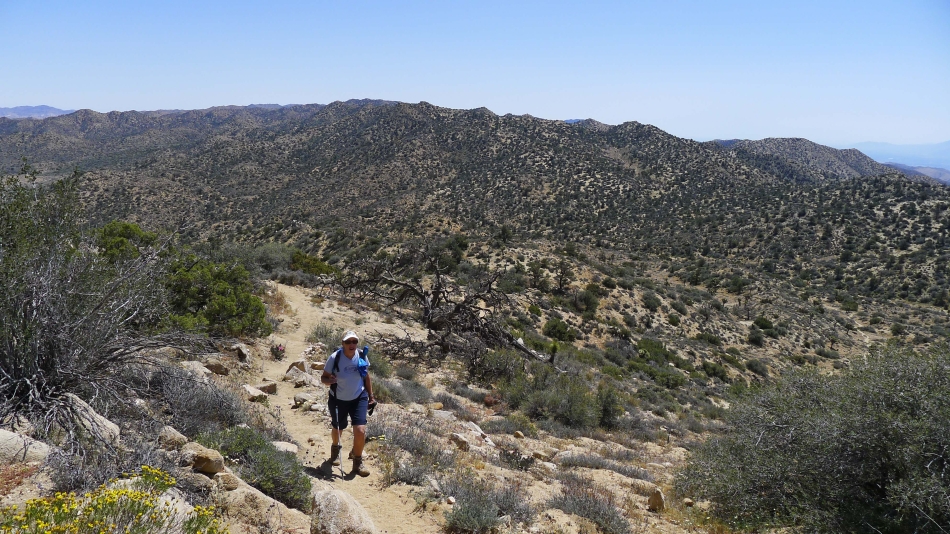
We are heading for Warren Peak... but you can see Warren View above Gail's head.
|
Looking down on Black Rock Canyon as we near the Warren Peak summit.
|
Getting closer to the Warren Peak summit.
|
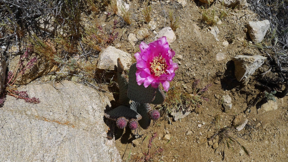
Beavertail cactus.
|
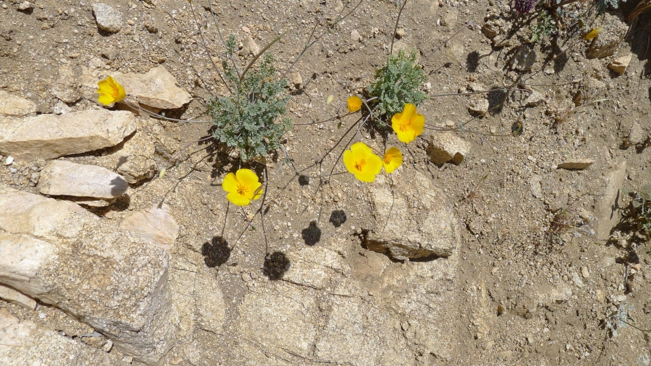
Desert Gold Poppy.
|
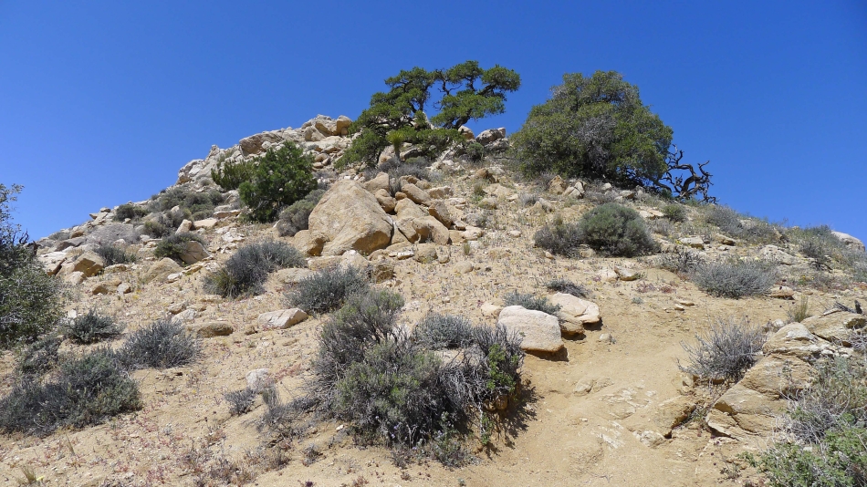
Almost on the summit.
|
Denali Girl nears the Warren Peak summit.
|
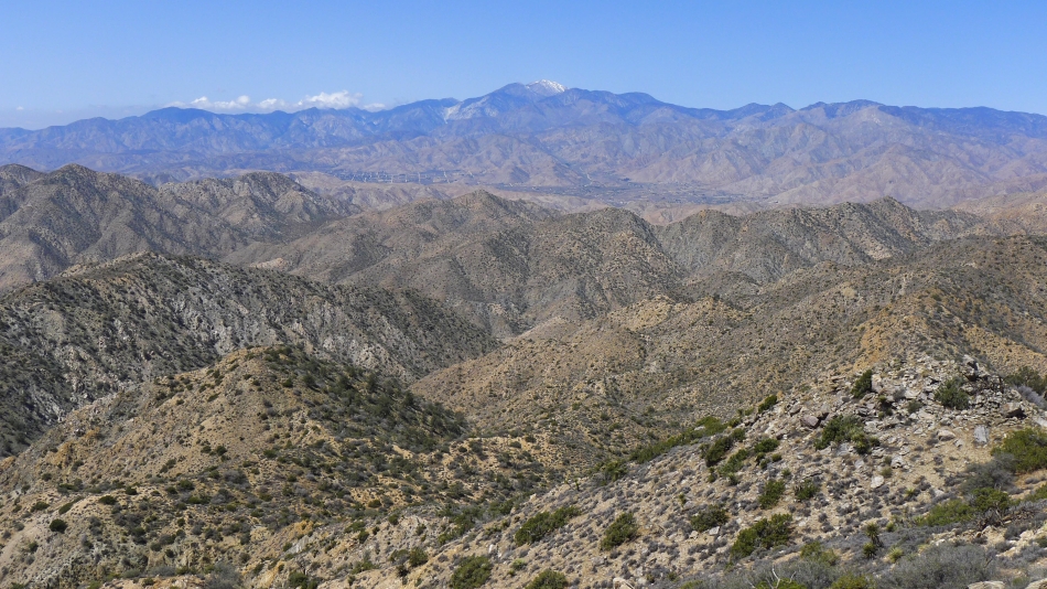
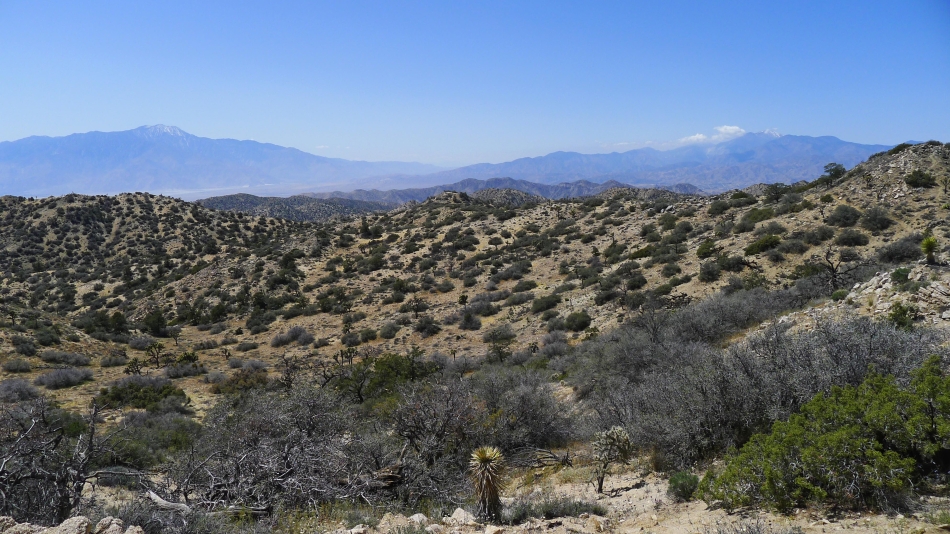
On the Warren Peak summit now... looking across Morongo Valley to San Gorgonio Peak in the center of the photo... the highest peak in Southern California.
|
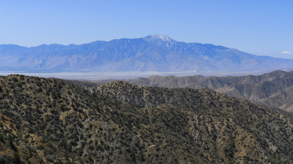
On the Warren Peak summit now... looking across Coachella Valley to the San Jacinto Mountains... Palm Springs is in the valley.
|
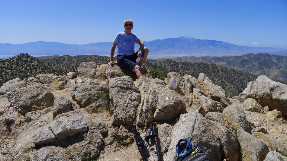
Denali Girl on the Warren Peak summit (5103').
|
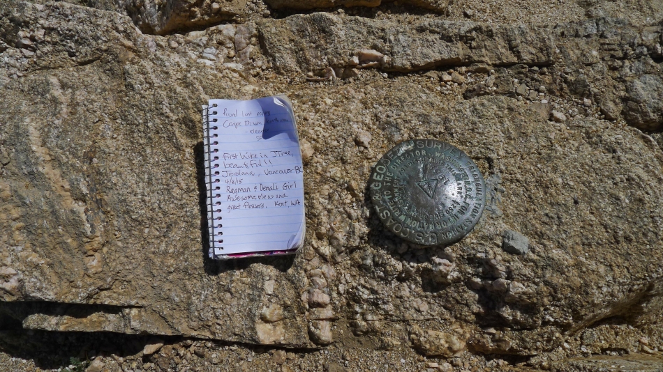
Denali Girl signed us into the summit register.
|
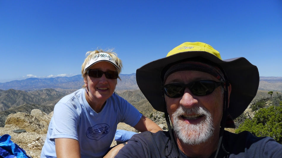
A selfie on the Warren Peak summit.
|
Heading down from the summit.
|
Still heading down from the summit.
|
Back at the junction of the Panorama Loop and Warren Peak... now we will do the loop trail.
|
Heading for the ridge on the Panorama Loop Trail.
|
Looking back at Warren Peak as we head for the ridge on the Panorama Loop Trail.
|
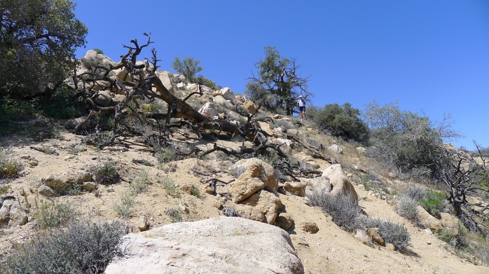
A huge joshua tree near the ridge on the Panorama Loop Trail.
|
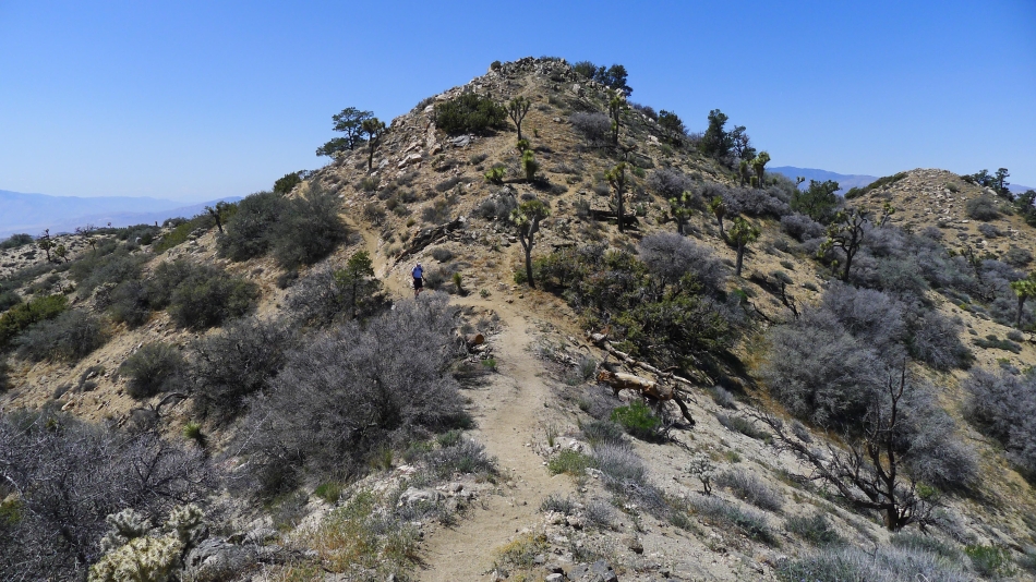
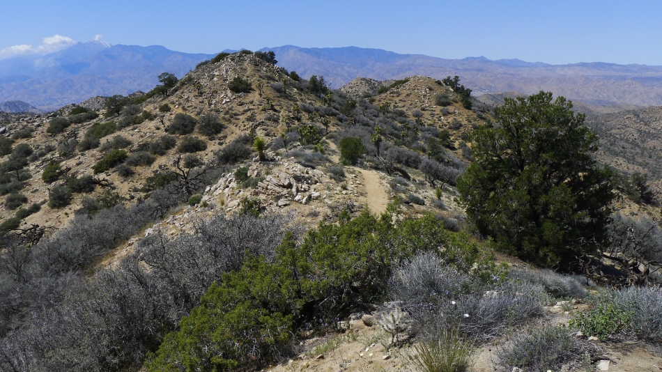
We have reached the ridge on the Panorama Loop Trail... now we will hike a mile or so along the ridge before dropping back down into Black Rock Canyon.
|
Hiking along the ridge and looking back at Warren Peak on the right.
|

Still hiking on the ridge portion of the Panorama Loop.
|
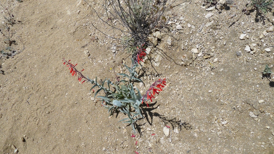
Chuparosa.
|
Denali Girl on the ridge.
|
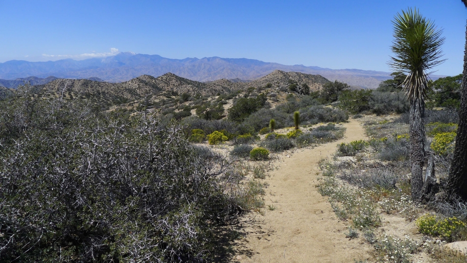
A horizon shot of San Jacinto Peak on the left... and San Gorgonio Peak on the right.
|
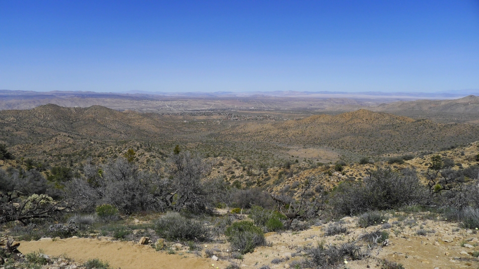
Looking down on Black Rock Canyon... and out to Yucca Valley.
|
Still on the ridge... near Point 5195... which is actually higher than the Warren Peak summit.
|
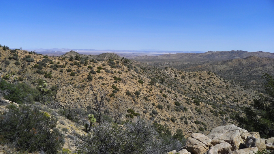
From Point 5195 we are looking back at our ridge walk.
|
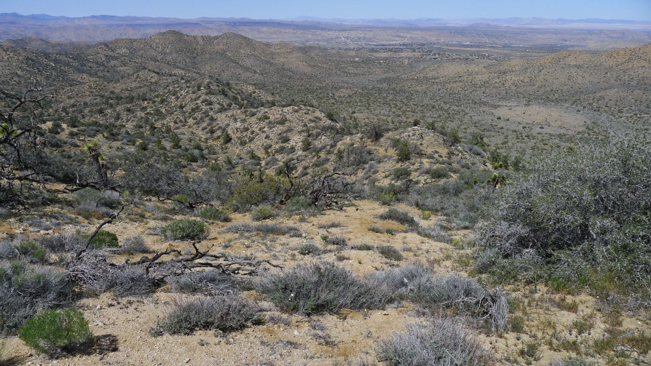
Black Rock Canyon and Yucca Valley from Point 5195.
|
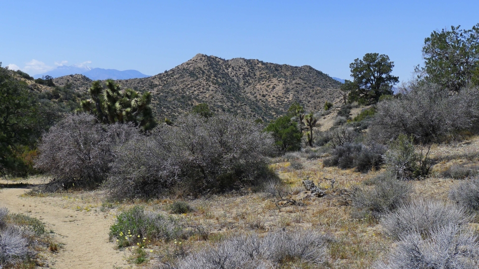
Heading down from the ridge now... with Warren Peak in the distance.
|
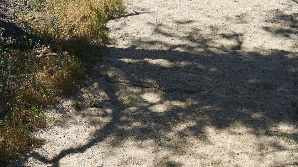
Snake in the wash.
|

Back at the junction for the Panorama Loop and Warren Peak... we won't take either of these trails... this time we will head back toward the campground and our car.
|
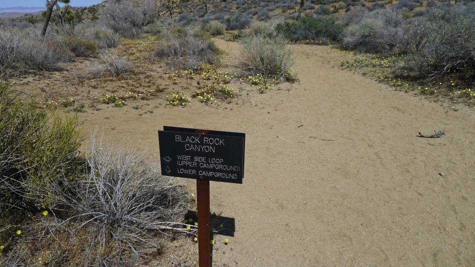
Here we chose to hike the wash back to the lower campground... however, if we had it to do over again, we would take the West Side Loop Trail back over to the water tower and then use the service road to get back to the campground.
|
