Tahquitz Peak - 4.10.2015
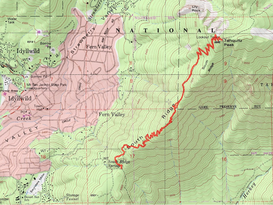
A photo of our GPS track for our hike to the summit of Tahquitz Peak... 7 miles roundtrip, gaining 2430 feet of elevation.
|
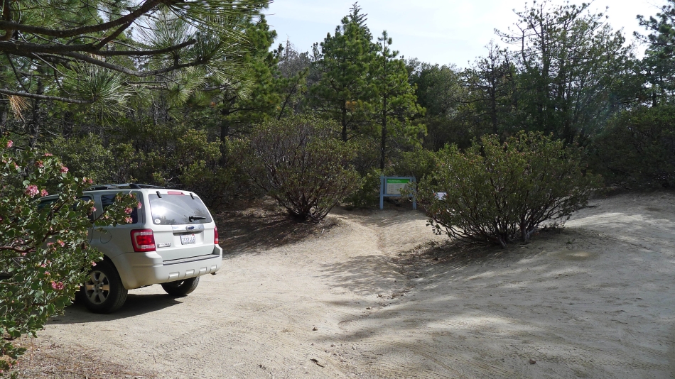
The trailhead is a short drive from downtown Idyllwild, California.
|
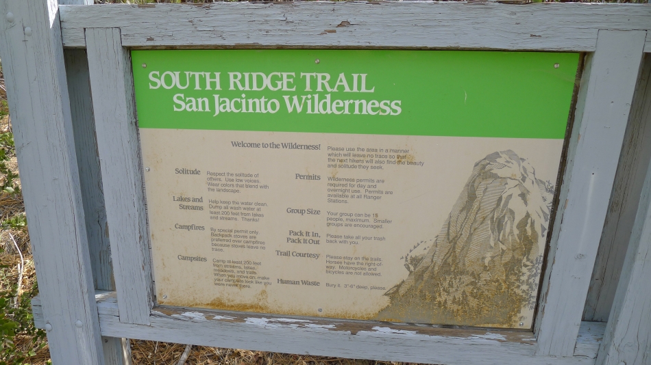
The rules... get your wilderness permit from the Ranger in Idyllwild.
|
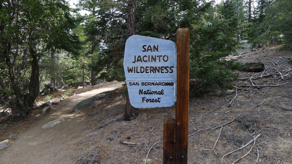
After hiking 20 minutes we crossed into the Jan Jacinto Wilderness.
|
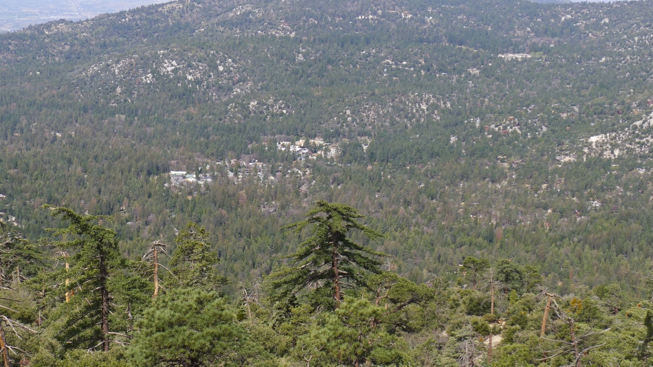
Gaining elevation and looking down on the mountain resort town of Idyllwild in Fern Valley.
|
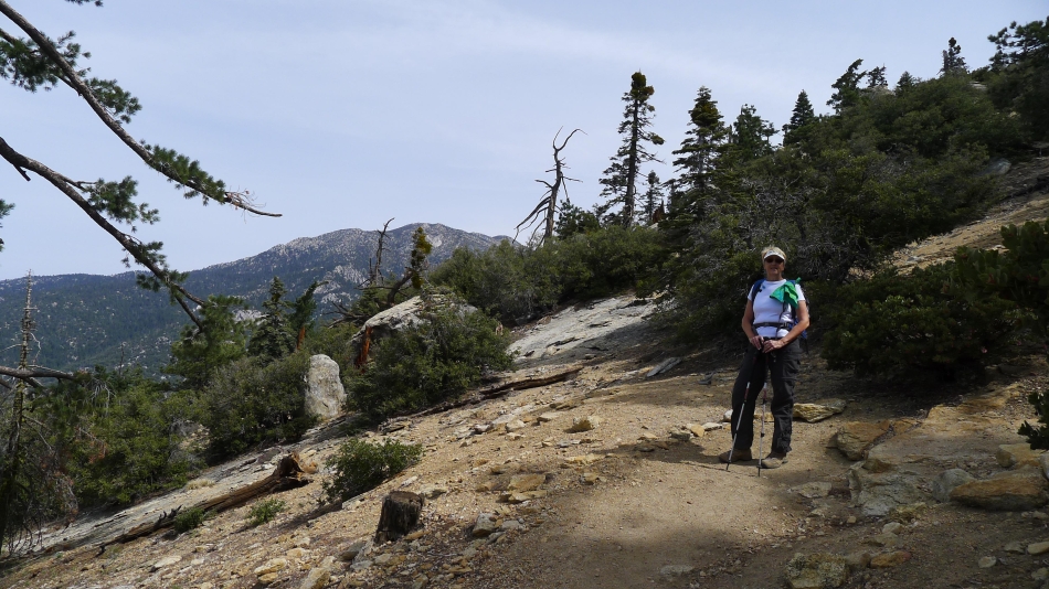
Denali Girl on the trail... with the higher peaks in the San Jacinto Mountains in the distance.
|
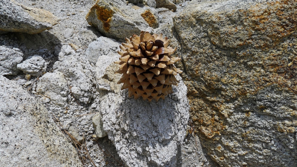
A very large pine cone.
|
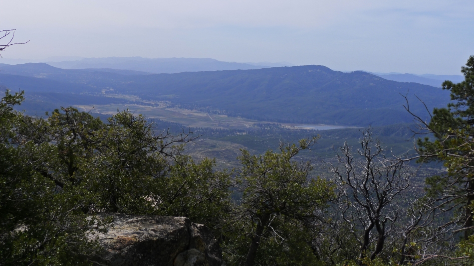
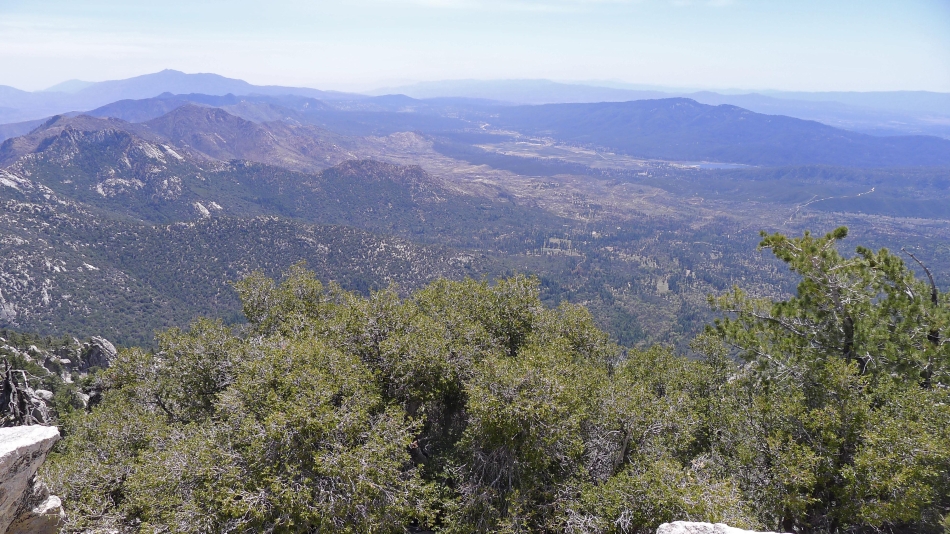
Looking down on the community of Hemet... and Hemet Lake.
|
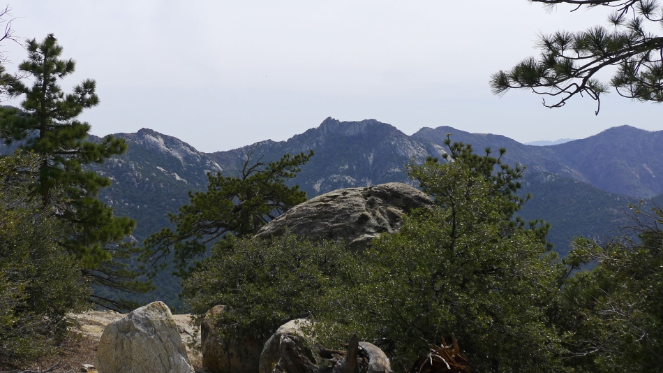
Nice looking peaks to the east.
|
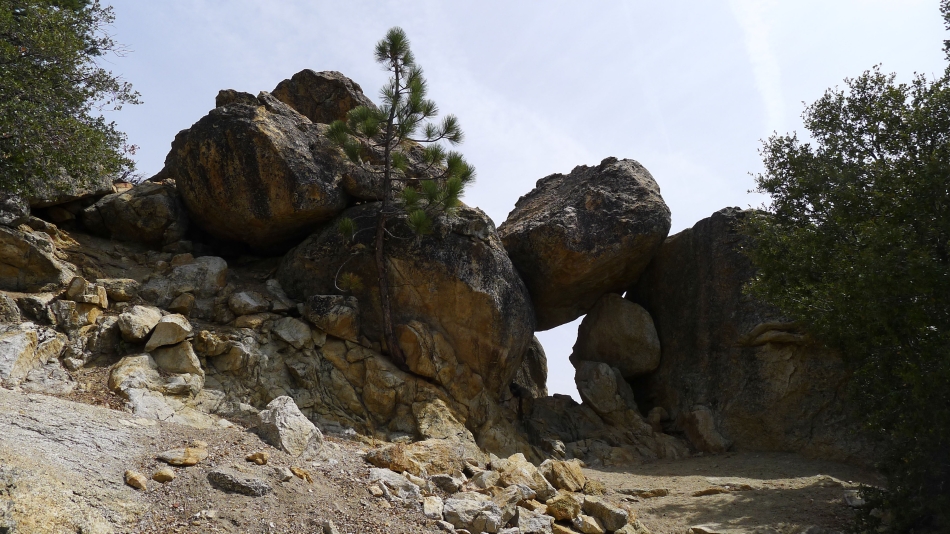
A window.
|
About half-way to the summit we arrived at a huge plateau at ~7600 feet... room for 40 tents.
|
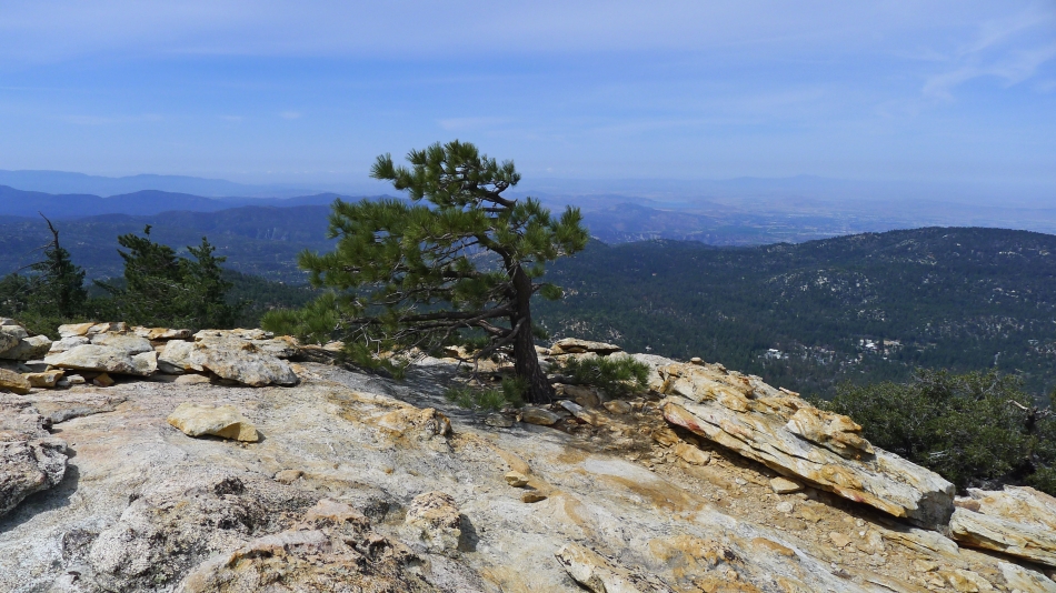
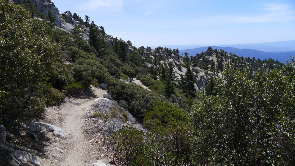
From the plateau we are looking at Tahquitz Peak in the foreground... the higher peaks in the San Jacinto Mountains are in the distance on the left.
|
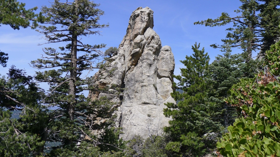
Nice rock formations as we switchback our way up toward the Tahquitz summit.
|
Denali Girl on the switchbacks.
|
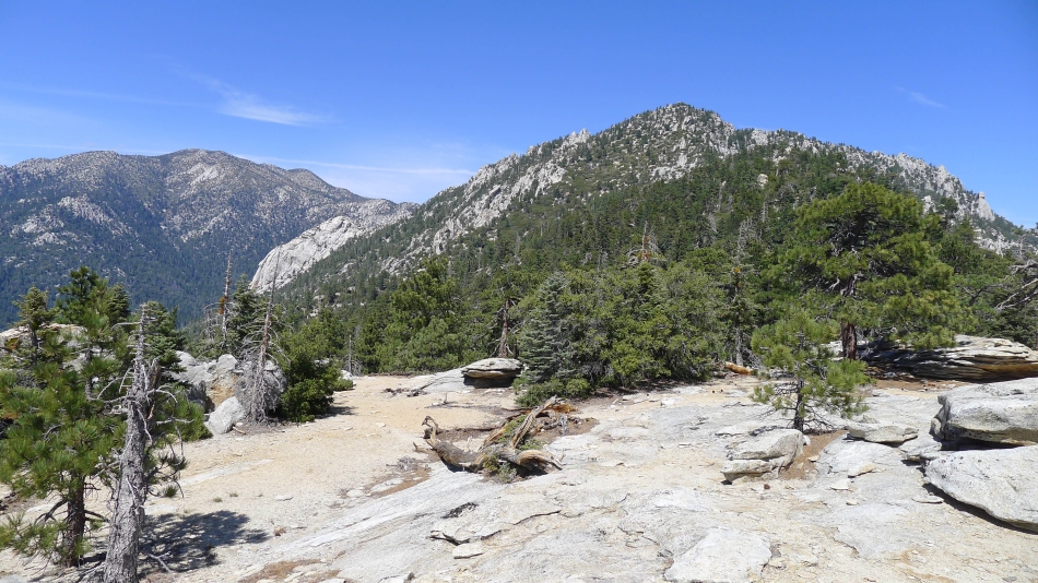
Nearing the Tahquitz summit... Marion Mountain in the distance.
|
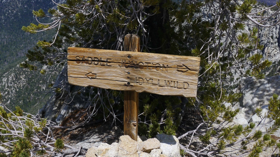
Idyllwild to the left and Saddle Junction to the right... but we are going to the summit.
|
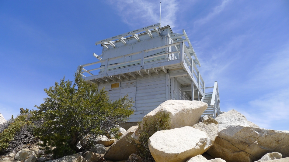
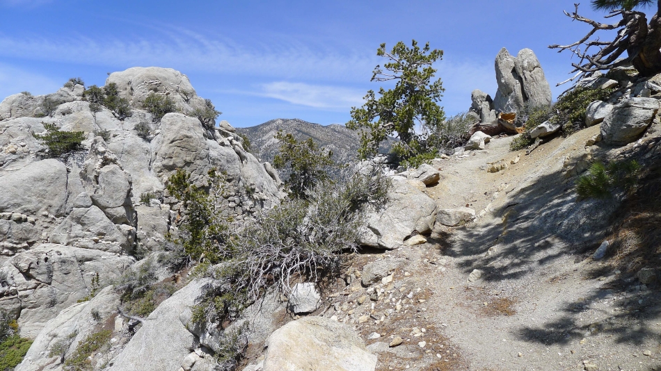
Almost up to the lookout.
|
Looking down on Hemet and Hemet Lake from the Tahquitz summit (8846').
|
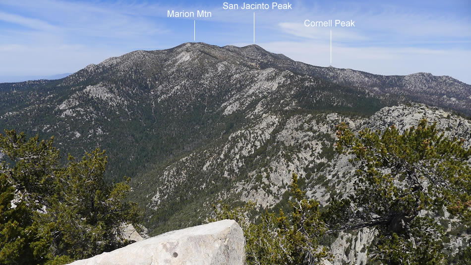
Looking north from the Tahquitz summit... San Jacinto Peak (10,839') is the highest point in the San Jacinto Mountains.
|
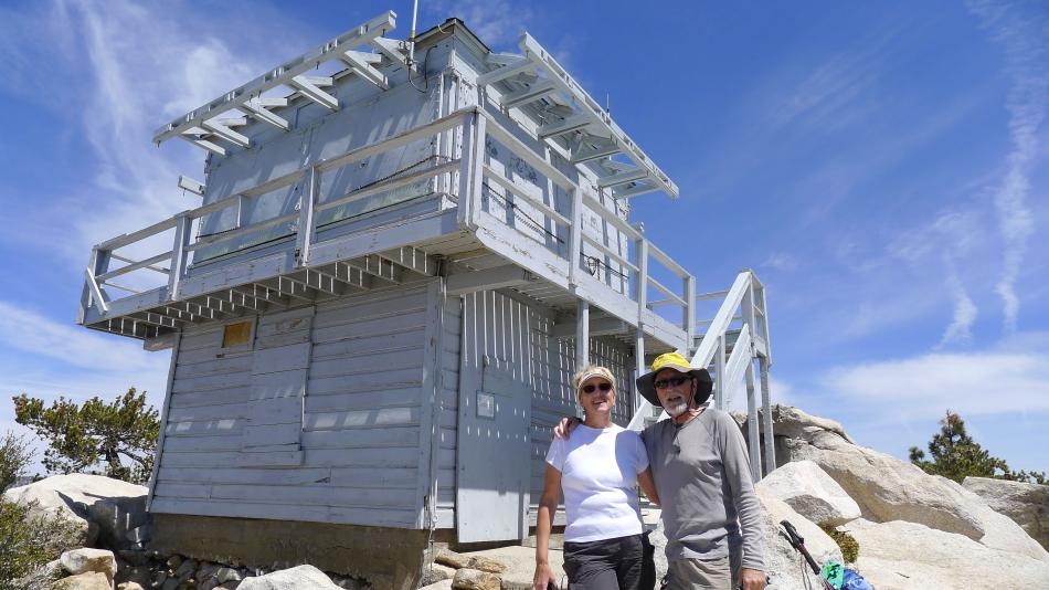
Denali Girl and ragman at the Tahquitz Lookout.
|
