Barker Dam Loop - 4.12.2015
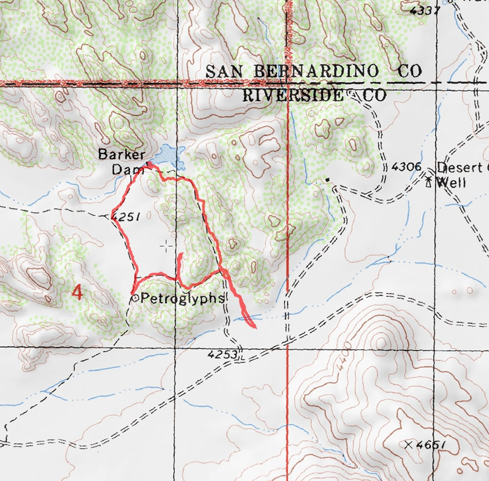
A photo of our GPS track for the Barker Dam Loop hike in Joshua Tree National Park... 1.5 miles roundtrip, gaining 75 feet of elevation.
|
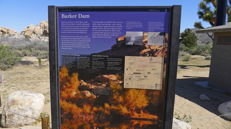
The dam was built by cowboys to hold rain water for their cattle.
|
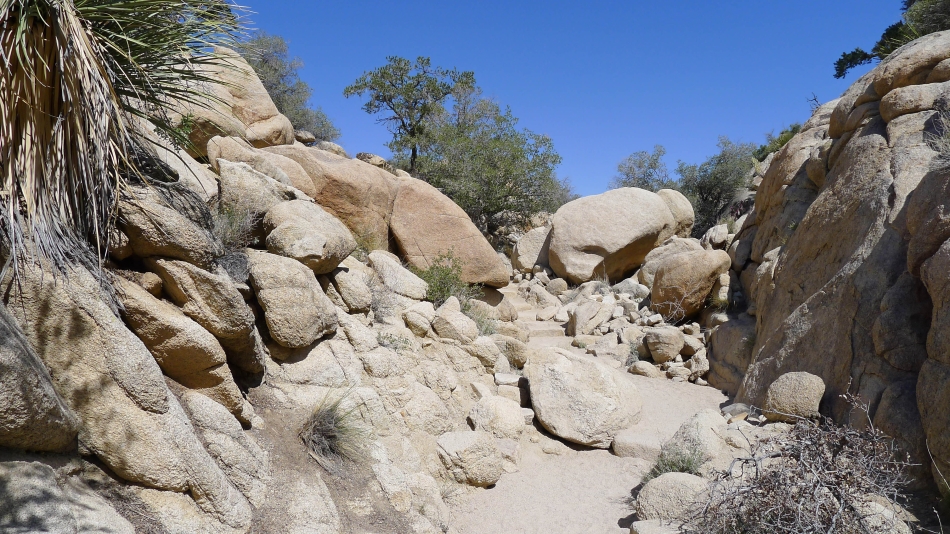
A staircase near the beginning of the loop trail.
|
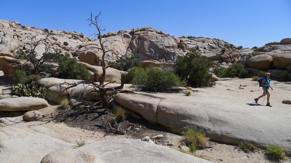
Denali Girl on the Barker Dam Loop Trail.
|
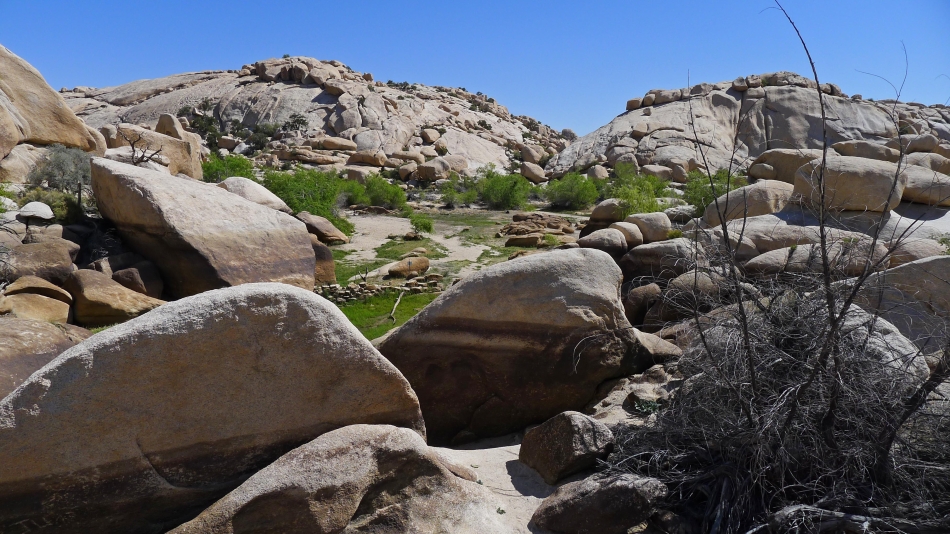
The rain filled pond was basically dry when we were there. It used to receive 10 inches of rain a year... but now only gets 2 to 5 inches.
|
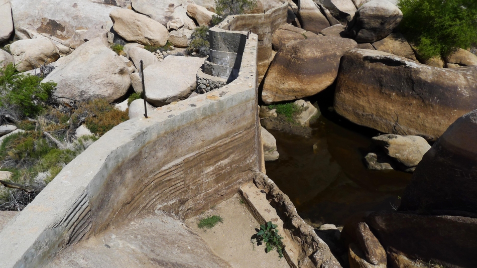
The dam at the west end of the pond... built by the Barker and Shay Cattle Company... then enhanced by rancher Bill Keys.
|
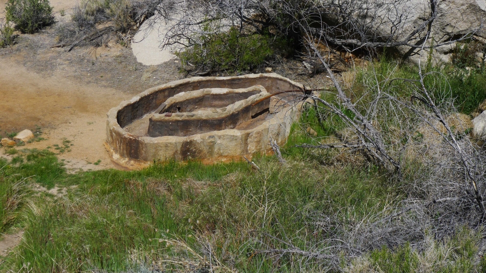
Water was drained from the pond into this water trough.
|
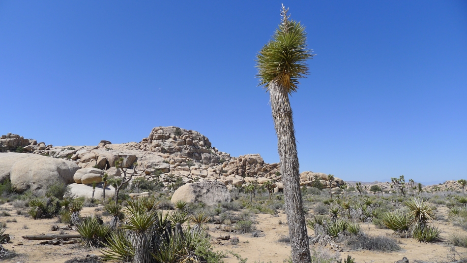
Impressive rock formations on this loop hike.
|
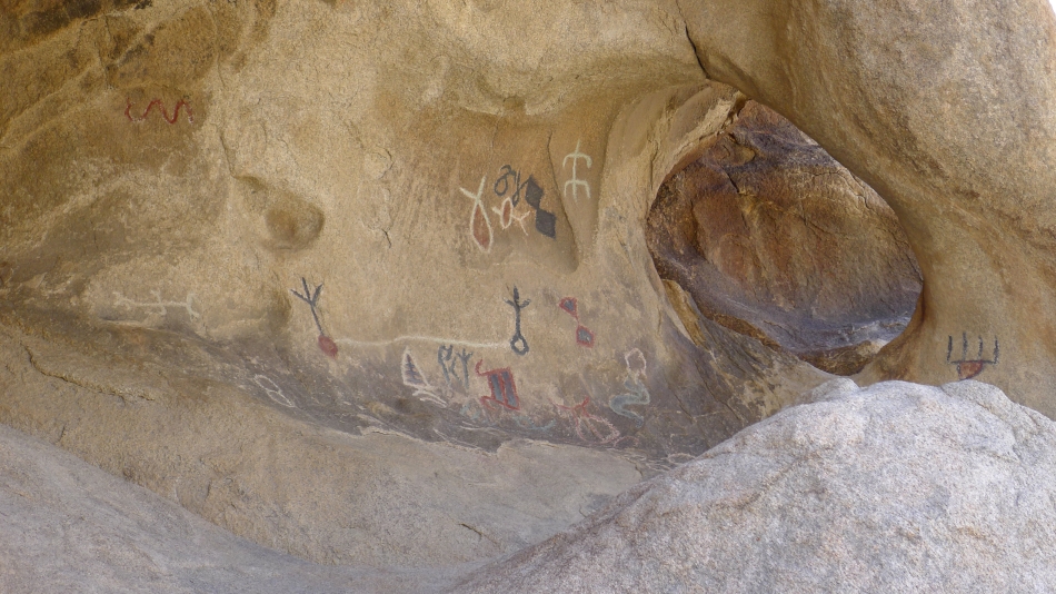
There are also some petroglyphs on this loop hike.
|
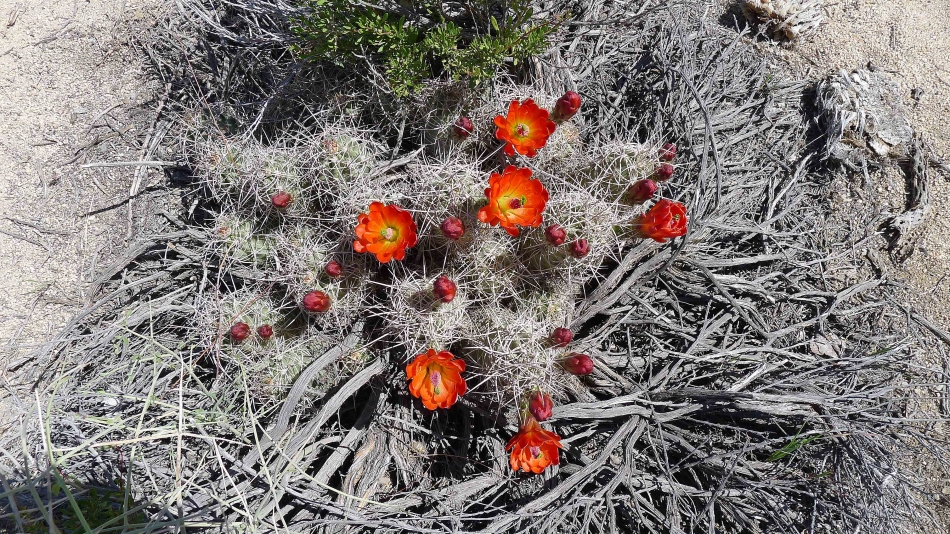
Mojave Mound Cactus.
|
