Lost Horse Loop - 4.23.2015
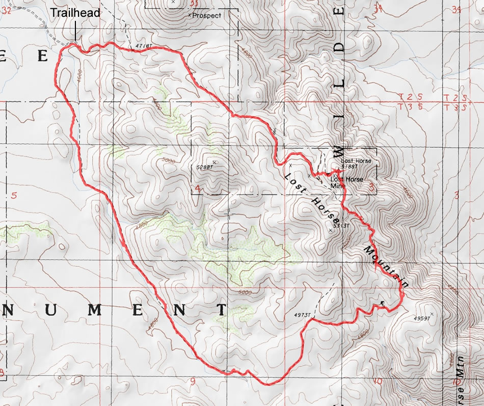
A photo of our GPS track for the Lost Horse Loop hike in Joshua Tree National Park... 6.9 miles roundtrip, gaining 1100 feet of elevation.
|
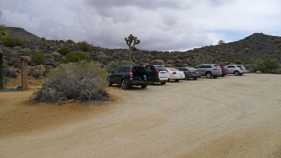
The parking area for the Lost Horse Loop hike.
|
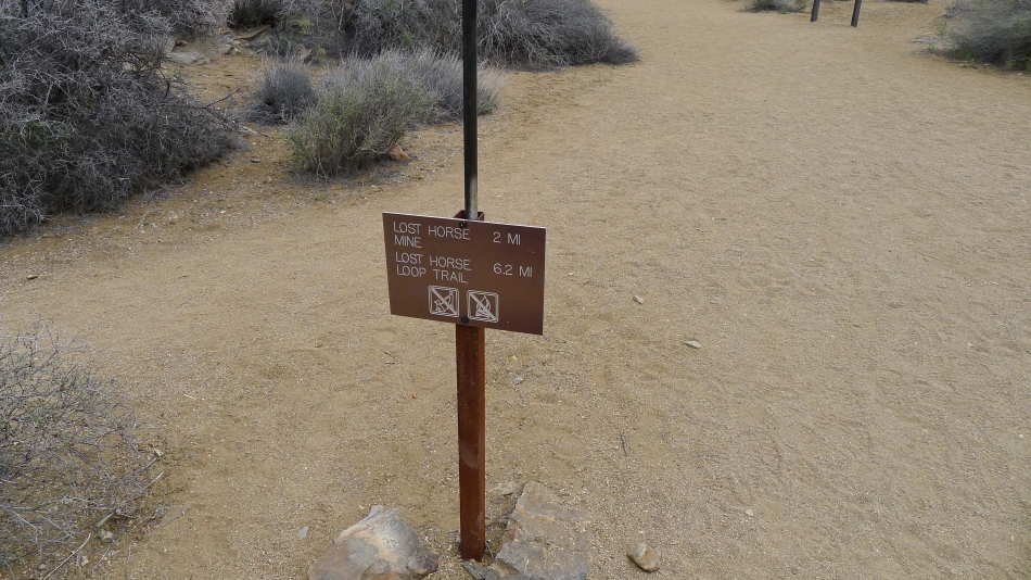
We chose to start the hike from the east end of the parking area... and do the loop in a clockwise direction.
|
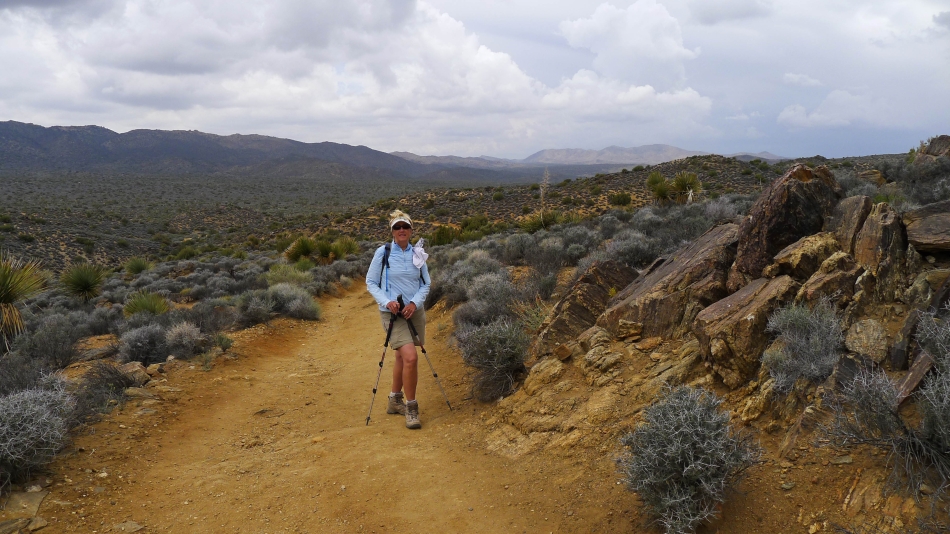
Denali Girl on the Lost Horse Loop Trail.
|
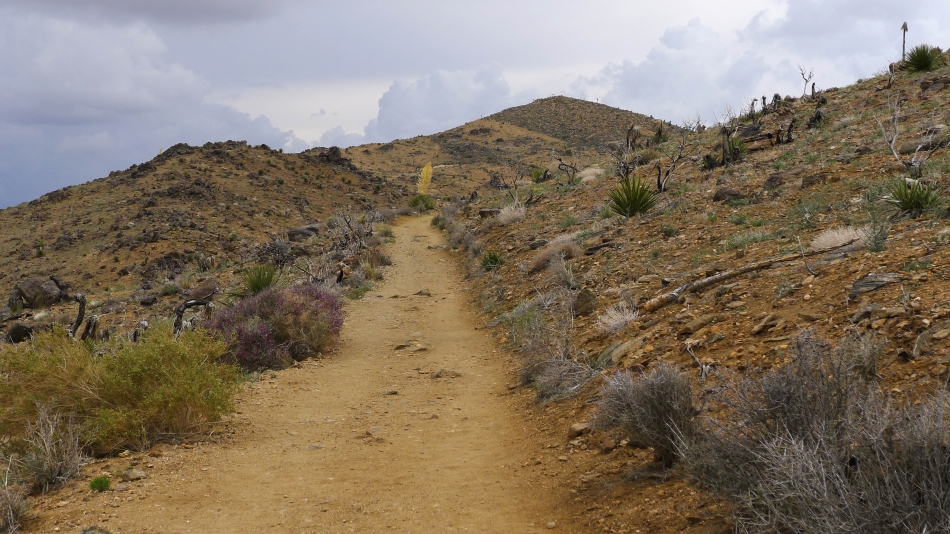
We can see Point 5188 in the center of the photo.
|
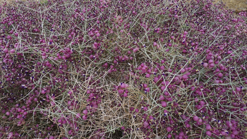
Paperbag Bush.
|
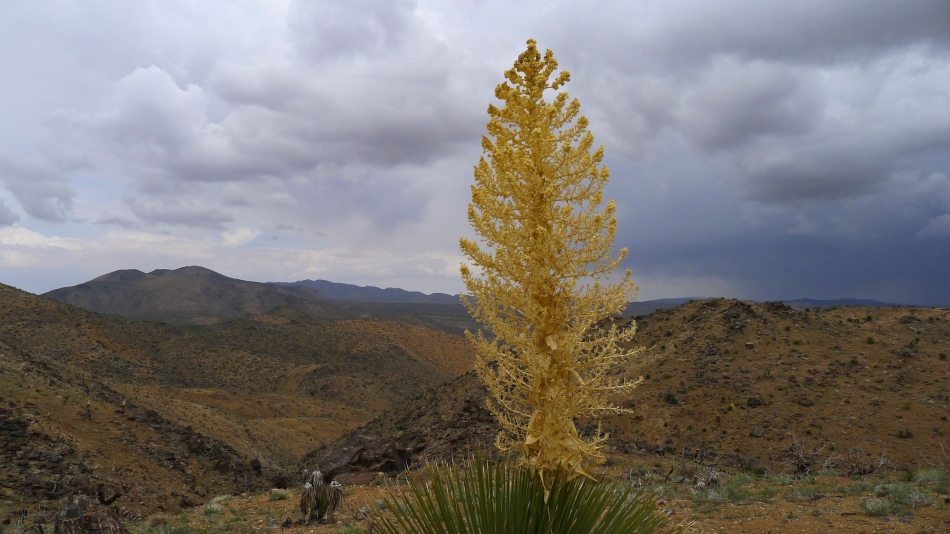
Parry's Nolina.
|
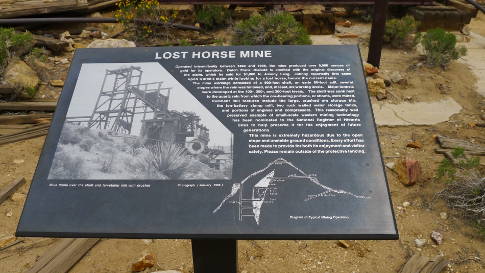
A little history about the Lost Horse Mine.
|

The Lost Horse Mine is just below Point 5188.
|
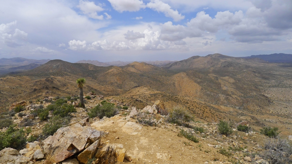
Looking north from Point 5188... with Ryan Mountain on the right.
|
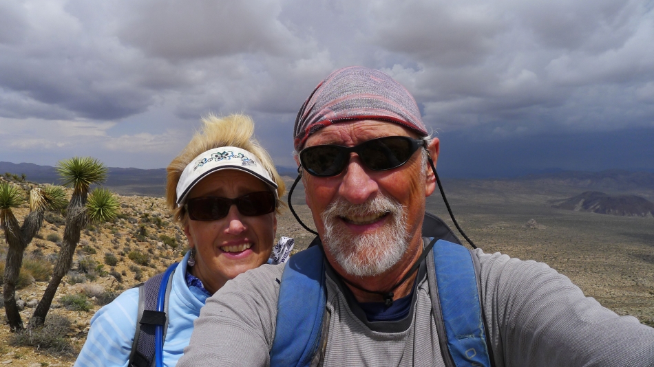
A selfie from Point 5188... the black formation on the far right is Malapai Hill in Pleasant Valley.
|
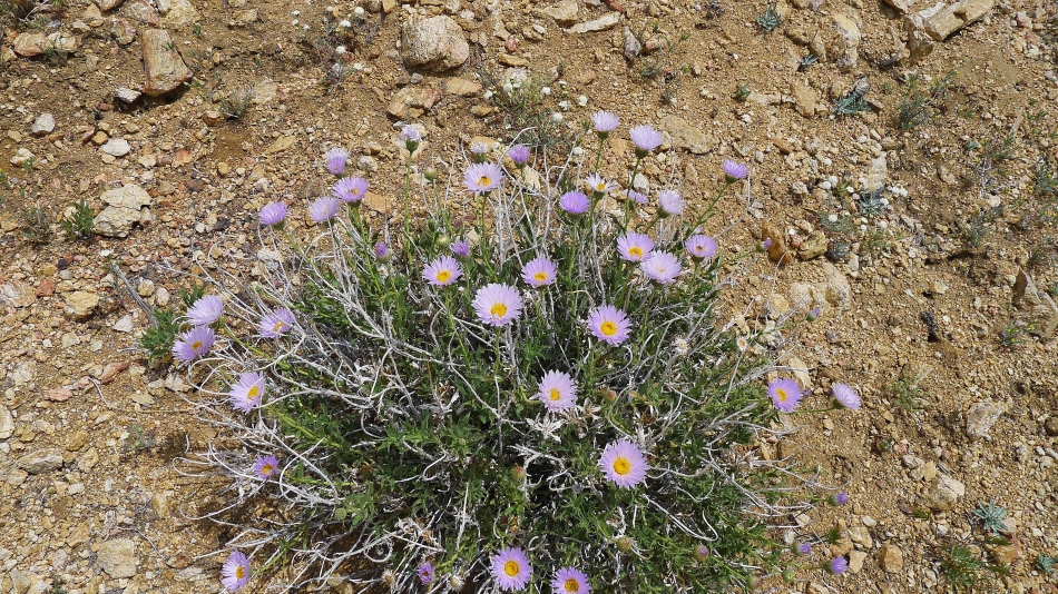
Mojave Aster.
|
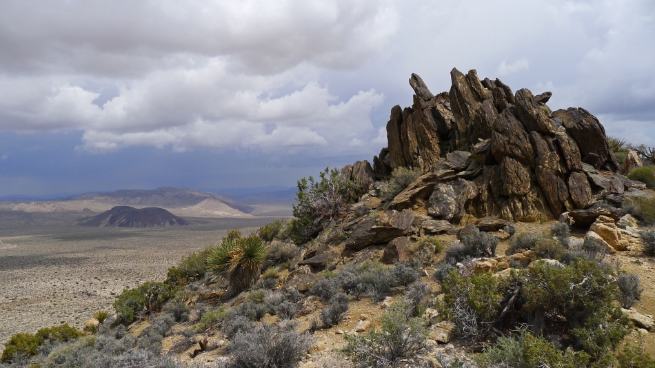
Hiking along the Lost Horse Loop and looking down into Pleasant Valley... with Malapai Hill in front of the Hexie Mountains.
|
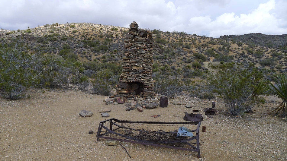
All that is left of this homestead is the chimney and bed springs.
|
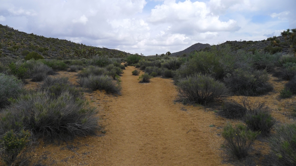
The last 2 miles of the loop hike is in a wash.
|
