Malapai Hill - 4.25.2015

A photo of our GPS track of our hike to Malapai Hill in Joshua Tree National Park... 1.7 miles roundtrip, gaining 600 feet of elevation.
|
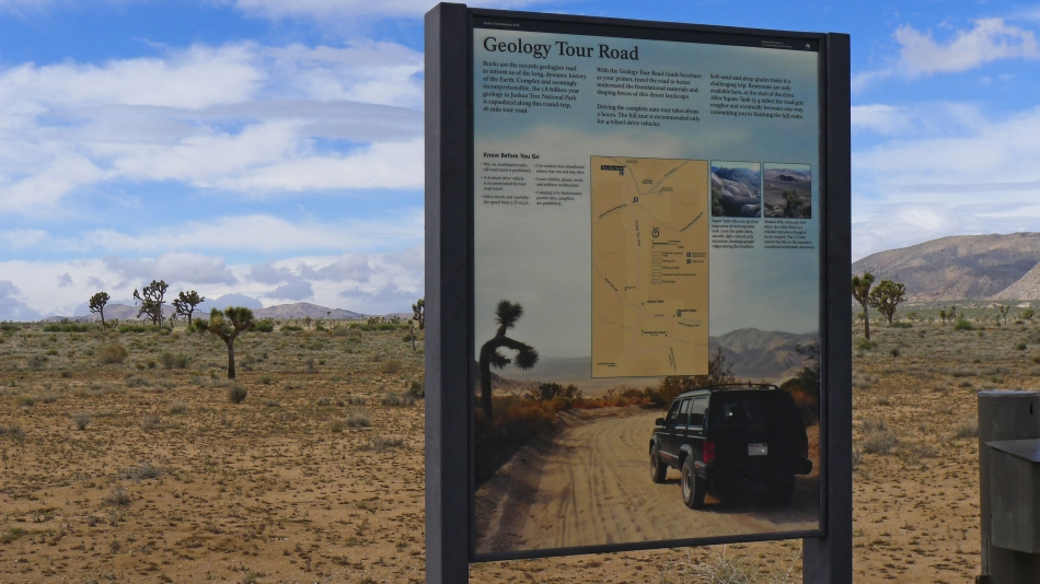
Malapai Hill is less than a mile of hiking from the Geology Tour Road. If you decide to drive all or part of the road, be sure to pick up a free brochure about it when you enter the park.
|
From the north we drove 5 miles south on the Geology Tour Road and parked just off of the road at what looked like an unsigned trailhead. The true summit is on the right (north).
|
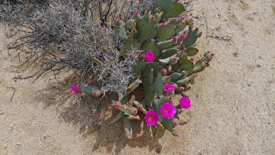
Beavertail Cactus.
|

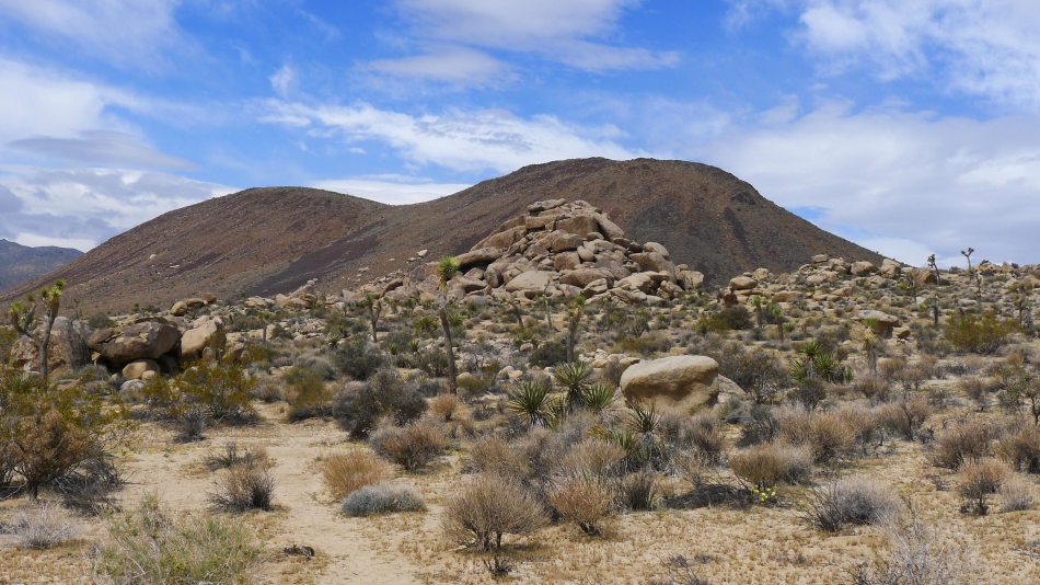
Nearing the Malapai Hill summit... the terrain isn't very steep... but it is very rocky.
|
From the summit (4280+) I am looking north at Lost Horse Mountain (left) and Ryan Mountain.
|
A pano shot of Lost Horse Mountain and Ryan Mountain.
|
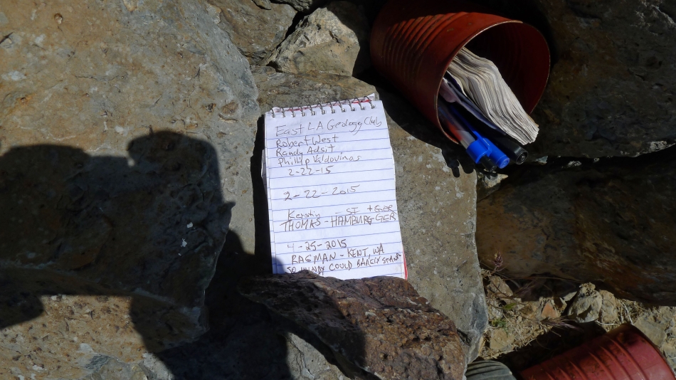
I was the first person to visit the summit in 2 months.
|
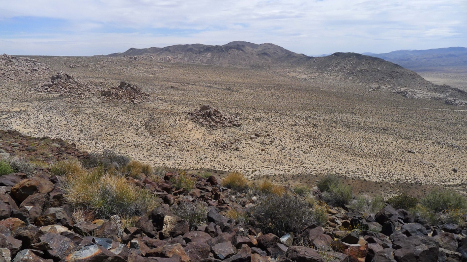
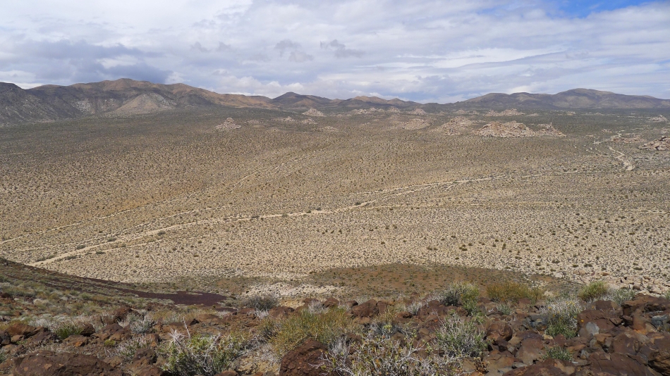
From the summit I am looking across Pleasant Valley to the Hexie Mountains.
|
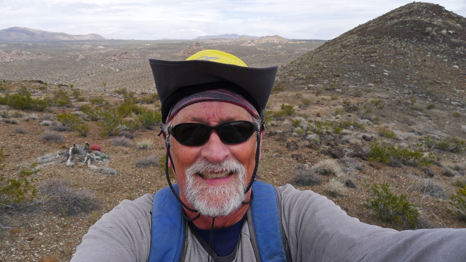
A selfie from the false summit of Malapai Hill... with the true summit on the right.
|
