Monument Mountain - 4.29.2015
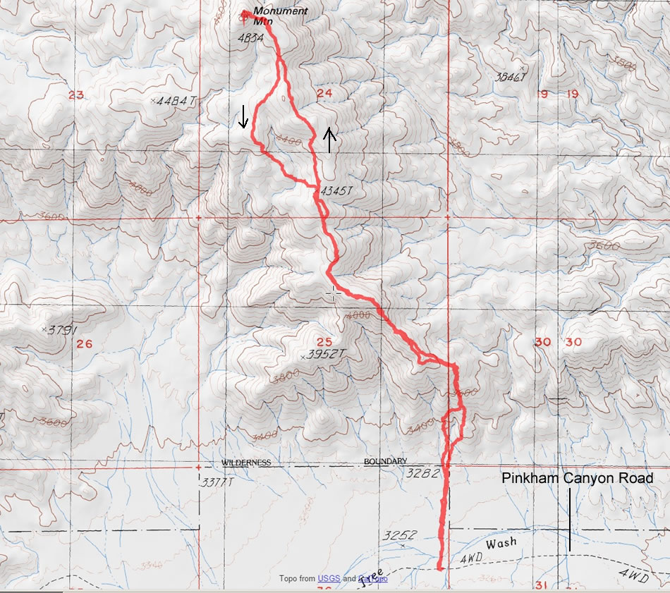
A photo of our GPS track to Monument Mountain in Joshua Tree National Park... 6.5 miles roundtrip, gaining 1971 feet of elevation.
|
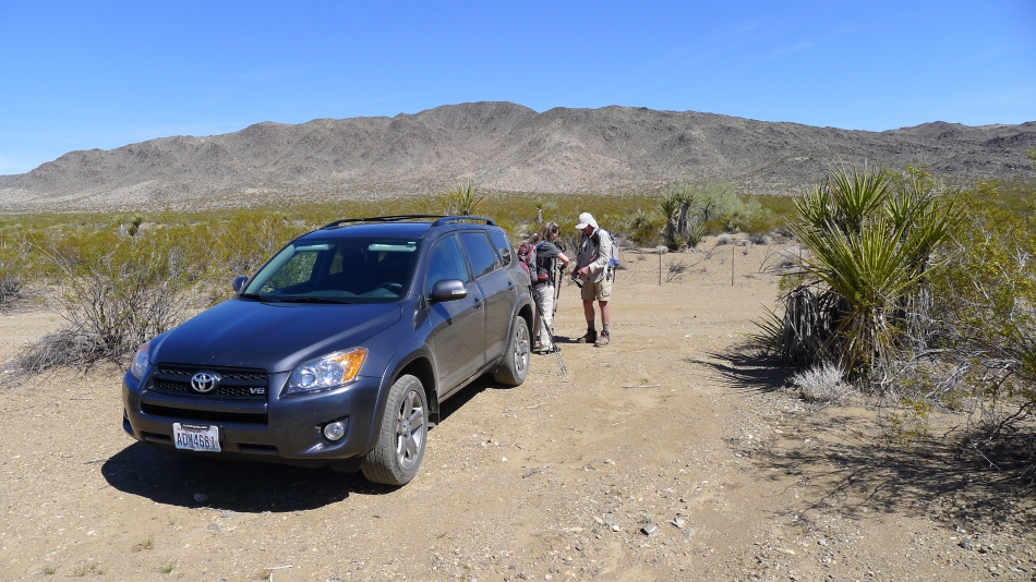
From the Cottonwood Visitor Center, we drove ~5 miles on the Pinkham Canyon Road and parked here... note that the road is a four wheel drive road... our Rav4 barely made it... and the sides of your car will be scratched by the desert brush that is crowding the road.
|
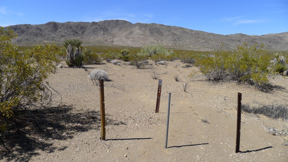
This is what you will see on the opposite side of the road from where you park... there is no mention of Monument Mountain.
|
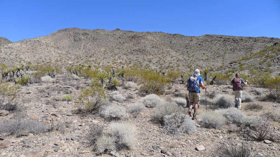
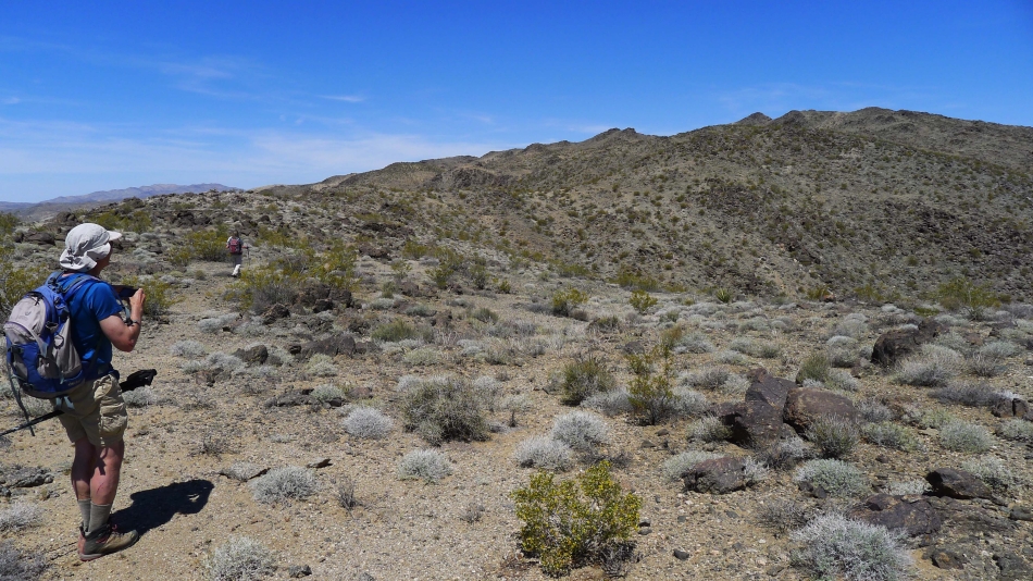
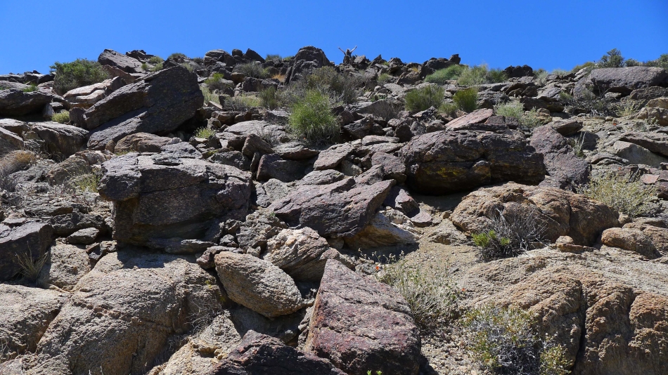
Hiking cross-country for the SE ridge of Monument Mountain.
|
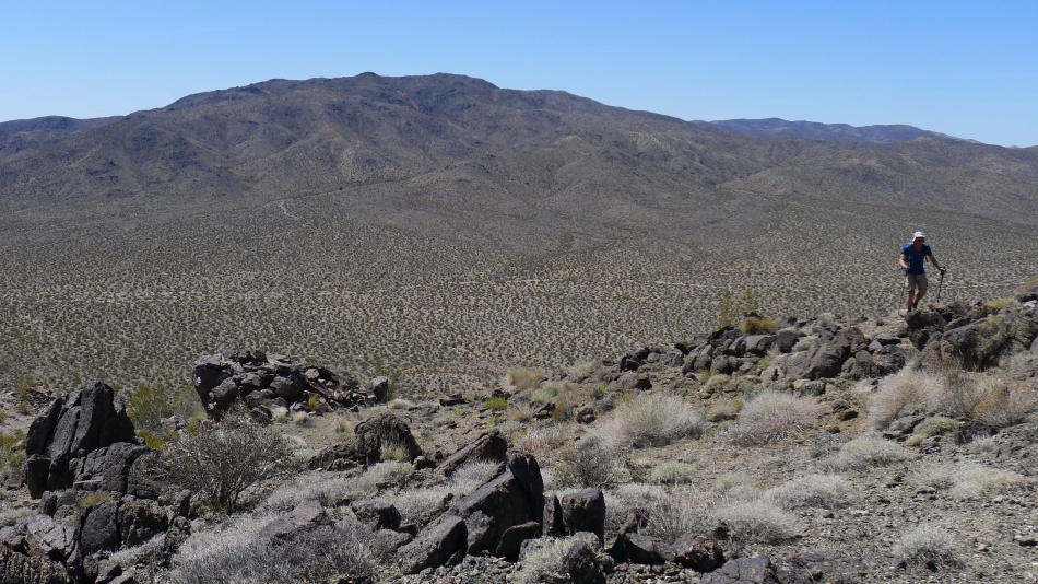
robman is on the SE ridge of Monument Mountain... Pinkham Canyon and the Cottonwood Mountains are behind him.
|
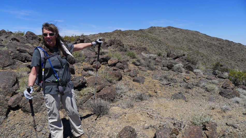
Snowdog points to where we are heading... but we aren't sure where the summit is.
|
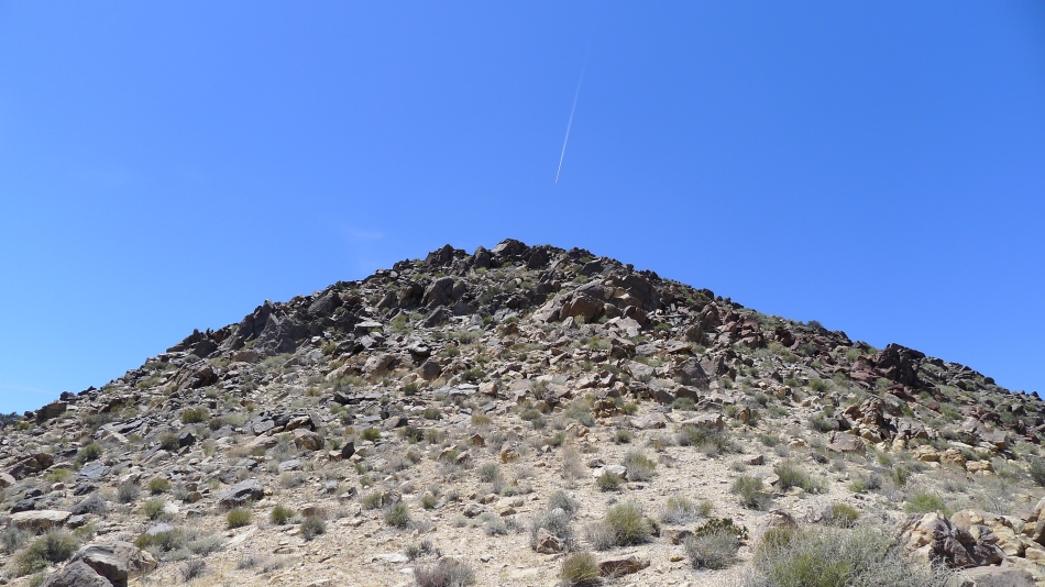
Now we can see a pyramid starting to stand out on the right.
|
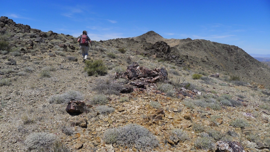
Snowdog heading for the pyramid.
|
Snowdog on the Monument Mountain summit (4834').
|

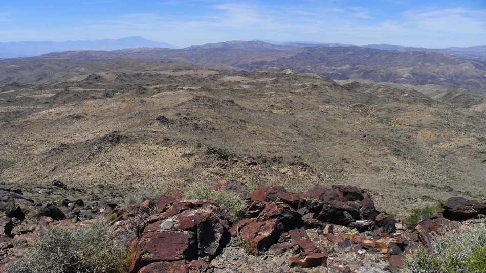
Looking east from the summit.
|
Looking west from the summit... we can see the San Jacinto Mountains on the horizon on the left.
|
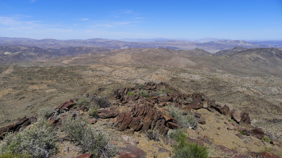
Looking north from the summit.
|

The survey marker for Monument Mountain.
|
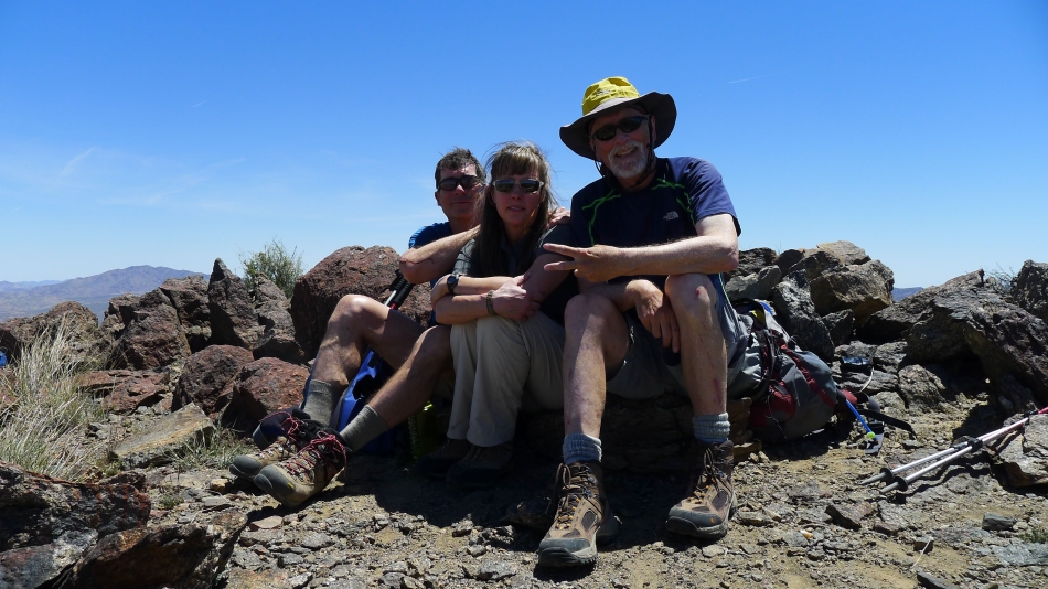
Group shot on the summit... robman, Snowdog and ragman.
|
Heading back to the car and looking back to the summit.
|
