Ingalls Peak (East Summit) - 6.5.2015
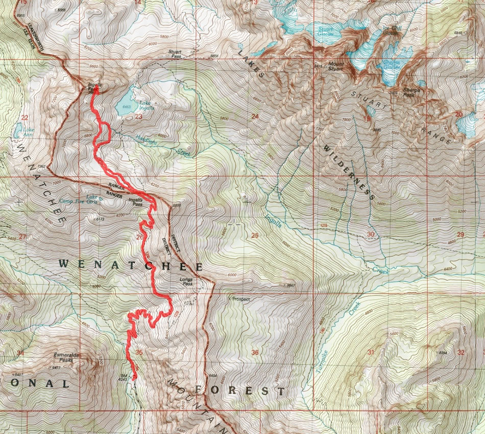
A photo of our GPS track for our trip to East Ingalls Peak... 10 miles roundtrip, gaining ~3500 feet of elevation.
|
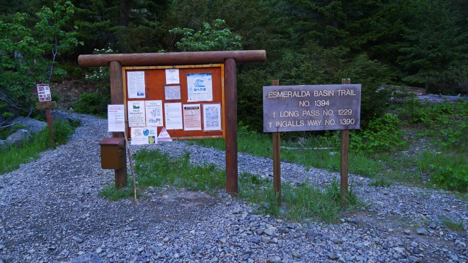
We started the hike from the Esmeralda Basin Trailhead (4240') at the end of the N. Fork Teanaway Road.
|
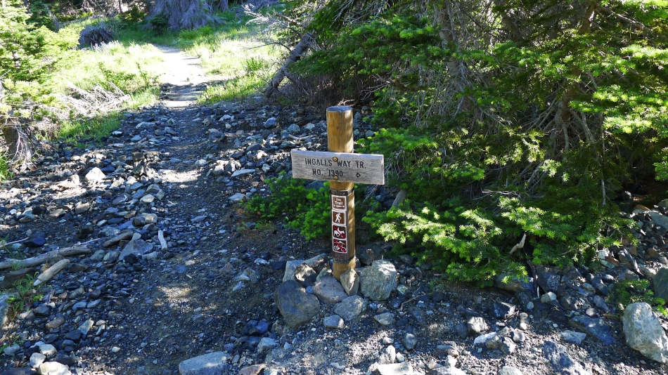
After hiking .4 miles take the Ingalls Way Trail.
|
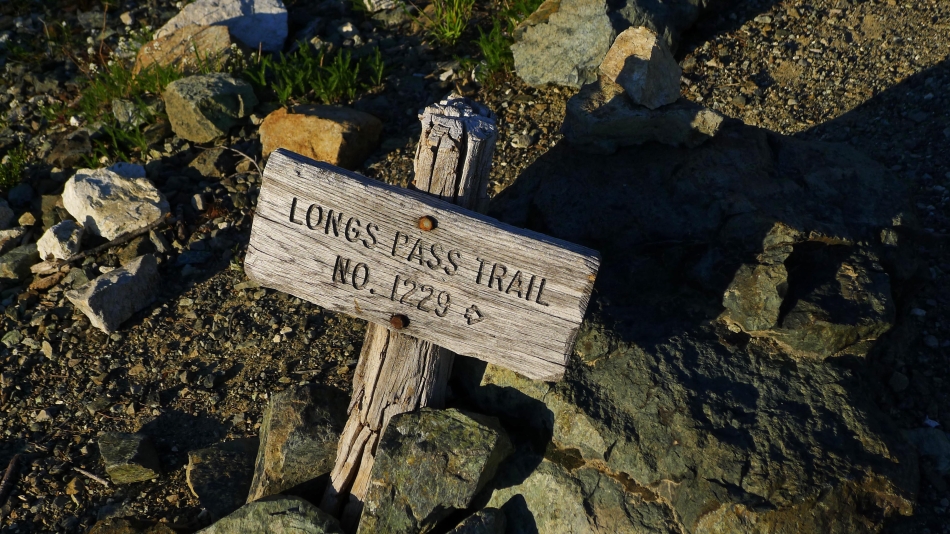
After another 1.5 miles of hiking we reached the junction with the Longs Pass Trail... but don't go to Longs Pass... continue straight here and head for Ingalls Pass.
|
Fortune Peak from the junction with the Longs Pass Trail.
|
Continuing for Ingalls Pass... with Esmeralda Peak across the valley.
|
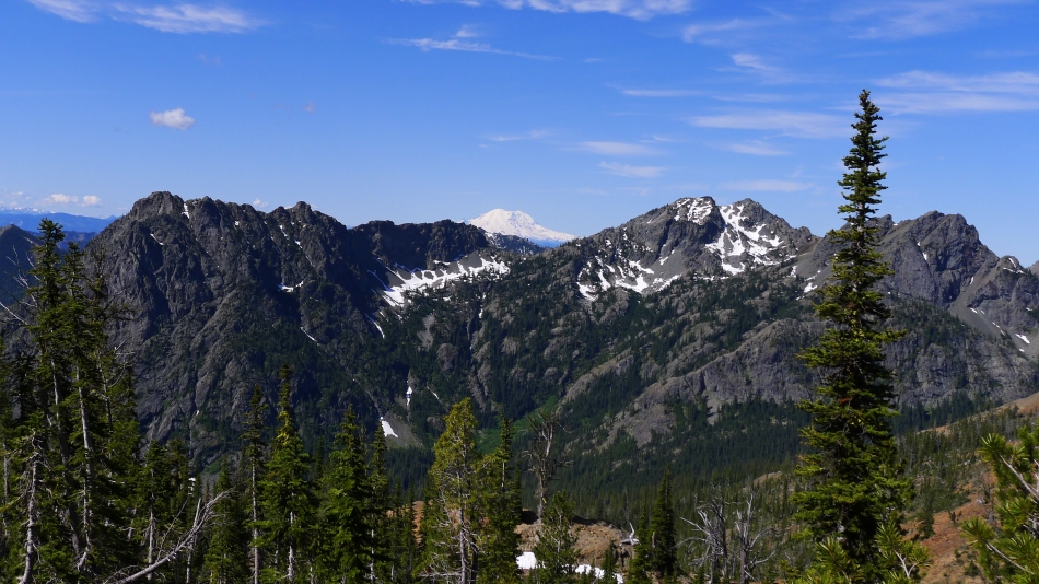
High enough now to see beyond Esmeralda Peak to Mt. Rainier.
|
Nearing Ingalls Pass... we can see the three summits of Ingalls Peak on the other side of the pass.
|
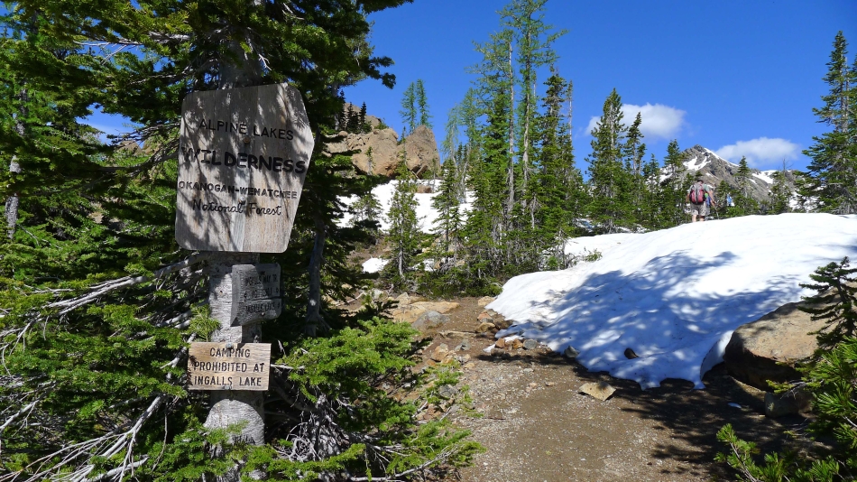
After hiking a total of 3.5 miles we have reached Ingalls Pass (6500') and cross into the Alpine Lakes Wilderness.
|
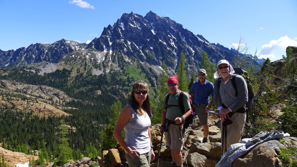
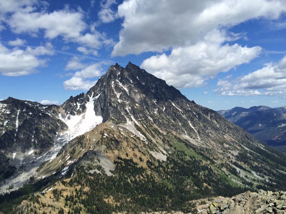
Hanging out at Ingalls Pass... with Mt. Stuart in the distance.
|
Continuing from Ingalls Pass toward Ingalls Peak.
|
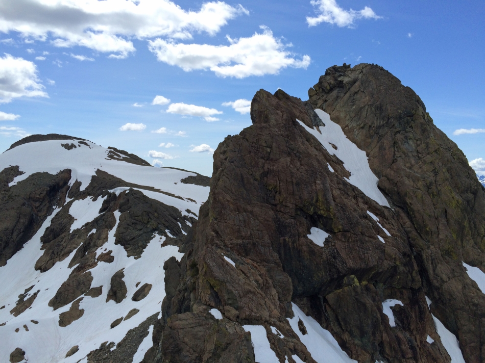
The three summits of Ingalls Peak... South (left)... North (center)... and East (right).
|
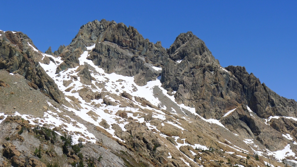
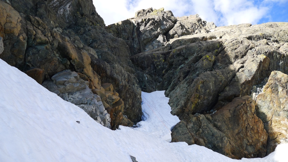
A closer look at the North (left) and East summits... and the snow filled gully between them that we will use on our approach.
|
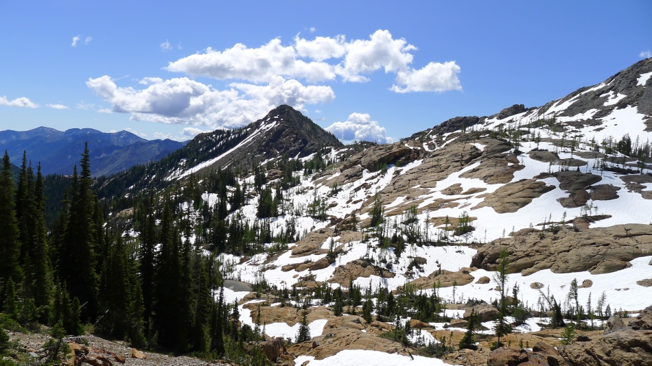
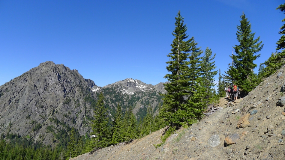
Looking back at 'Not Hinkhouse' Peak and Ingalls Pass.
|
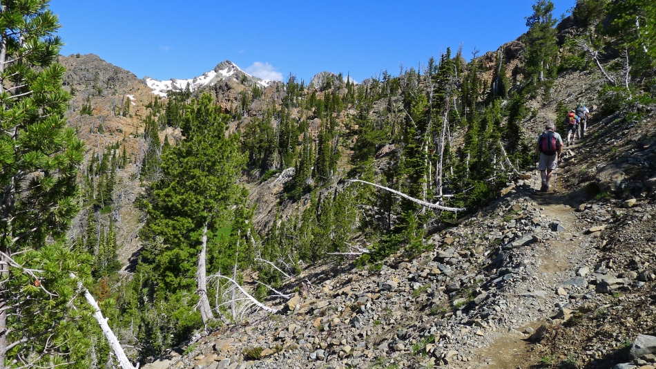
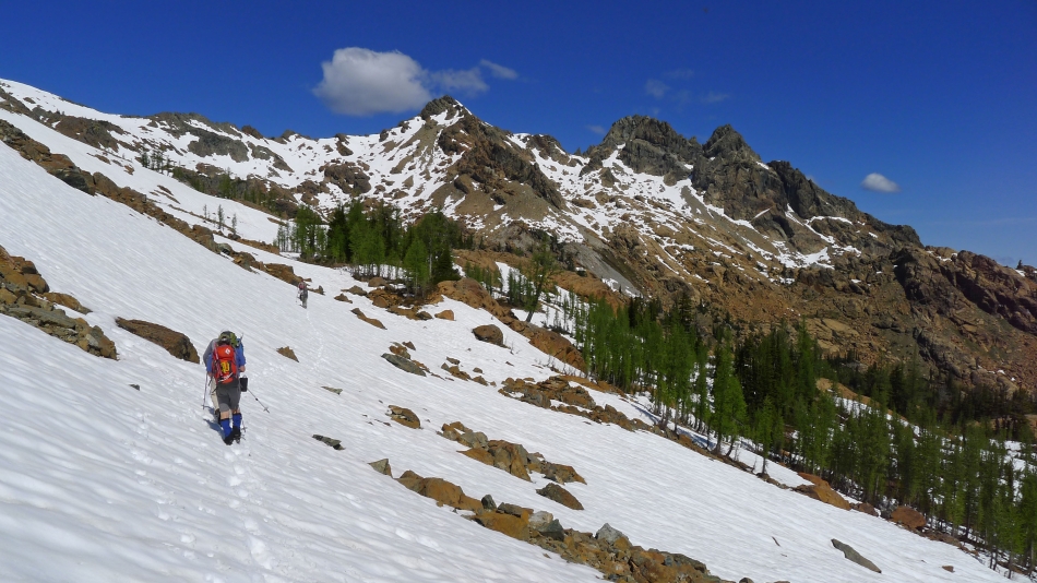
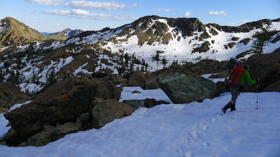
Working our way over to East Ingalls.
|
Snowdog and Barry gaining elevation... with Mt. Stuart on the right.
|
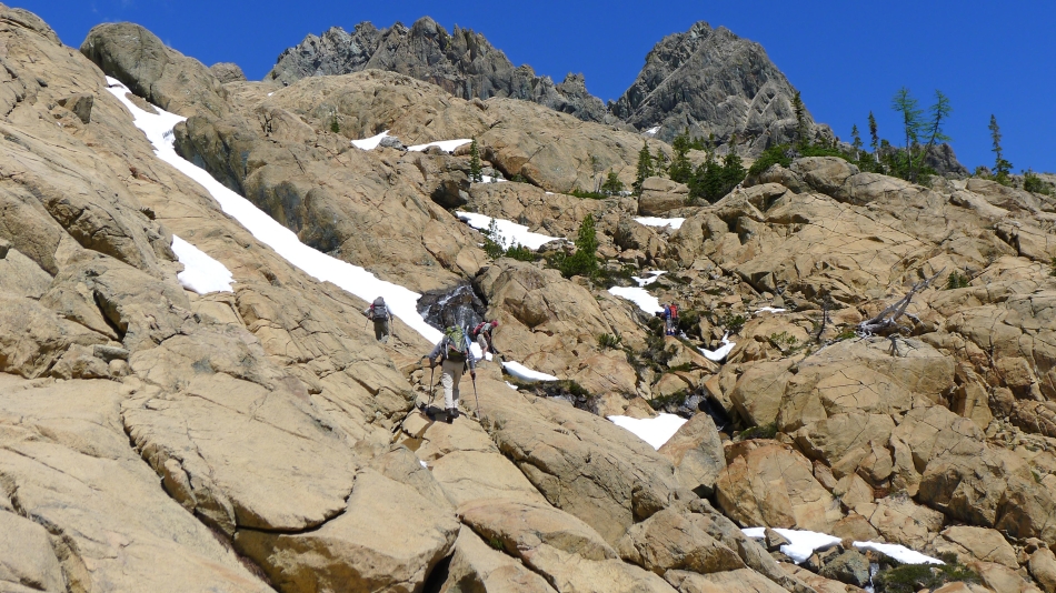
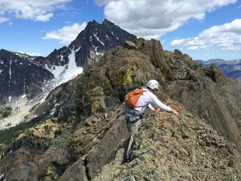
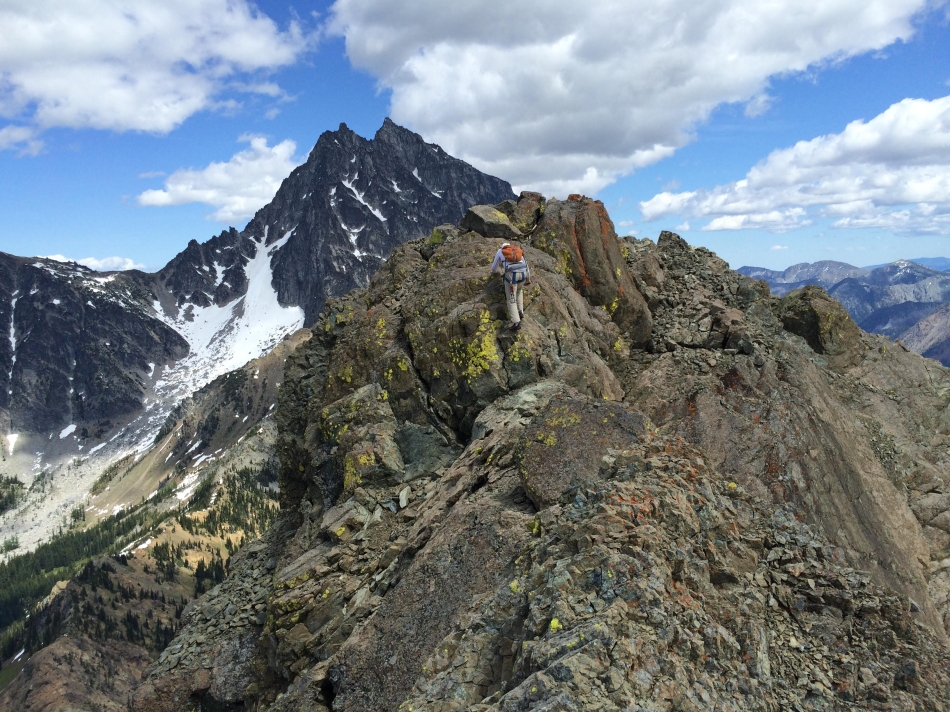
Continuing toward North and East Ingalls.
|
Winding our way through the rocks.
|
Briefly heading toward the south summit of Ingalls Peak.
|
A short break... the south summit on the left... and the north summit on the right.
|
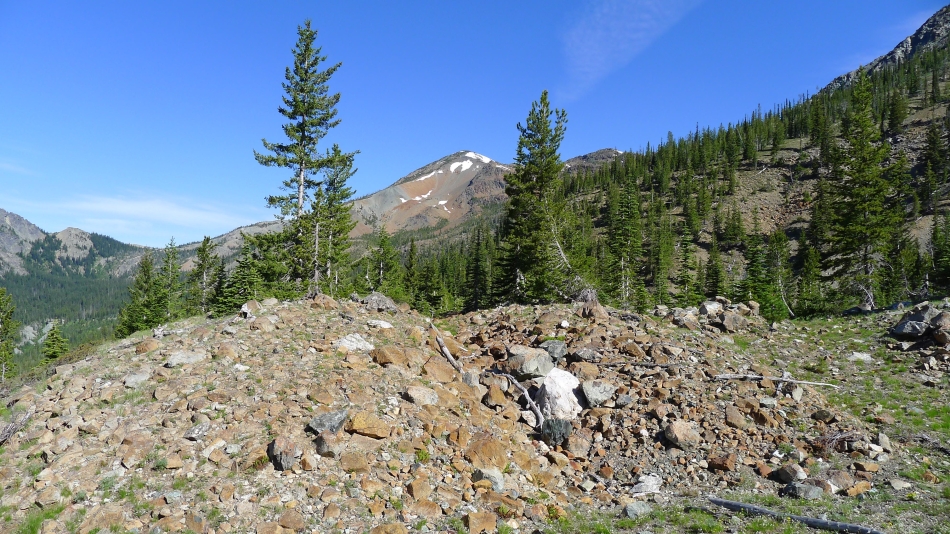
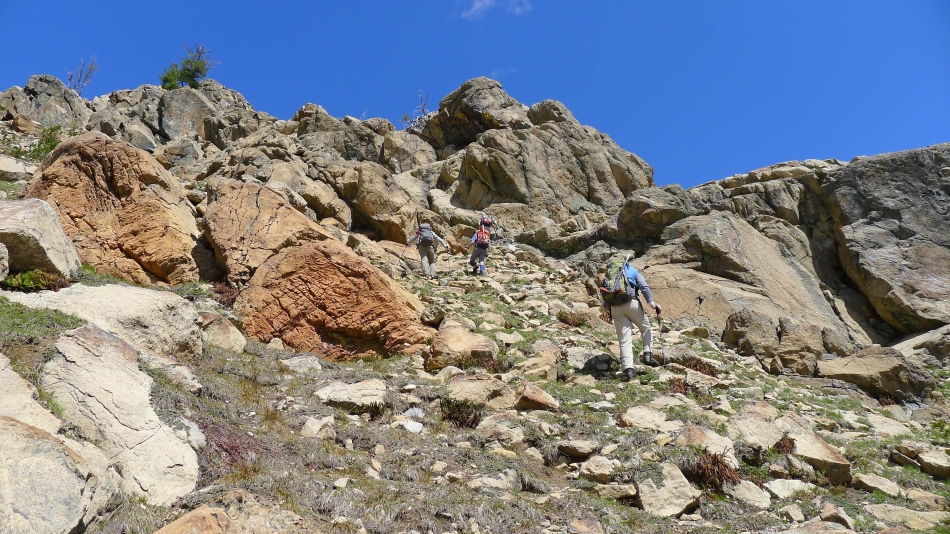
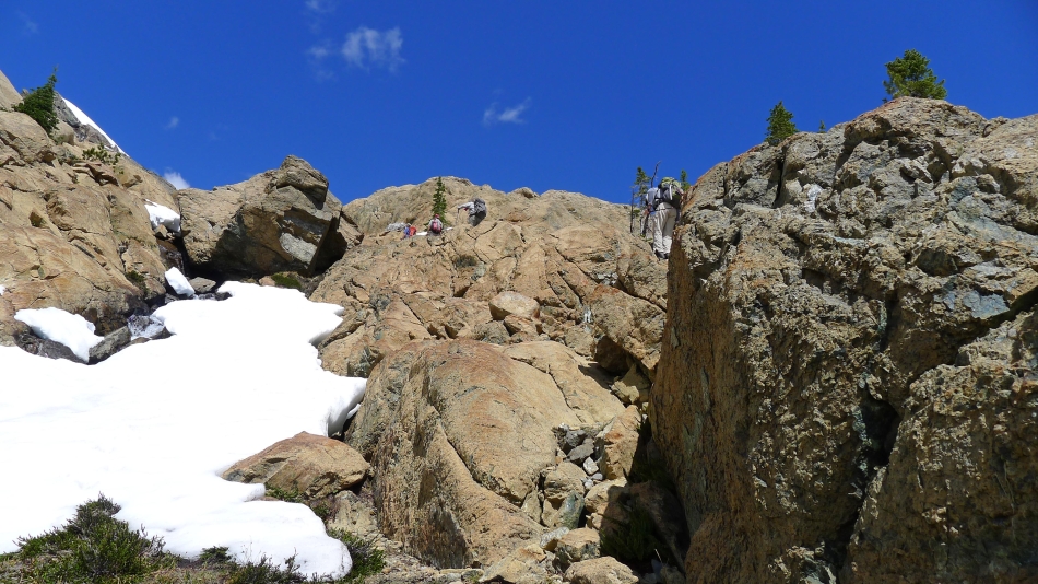
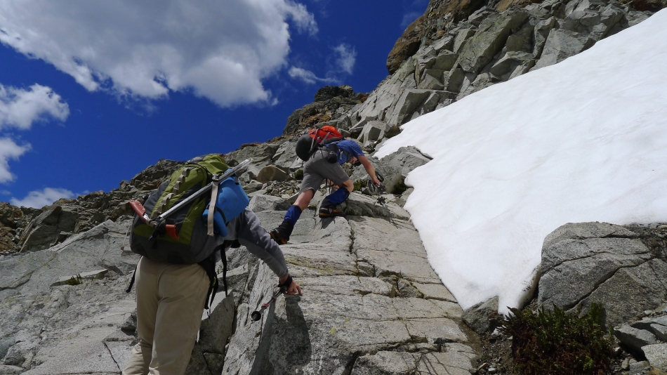
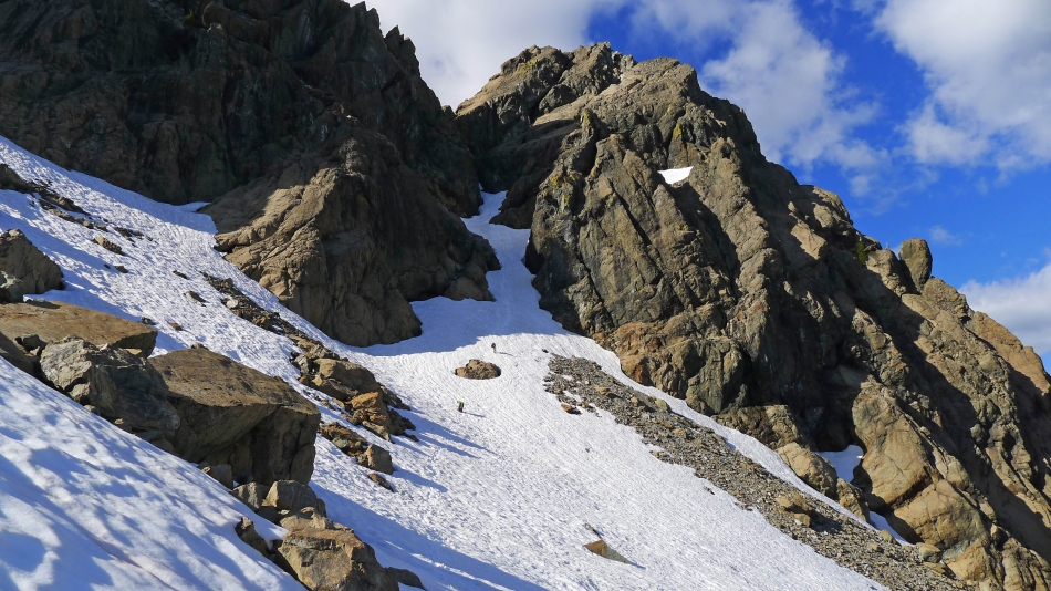
Lots of rocks and boulders to get around.
|
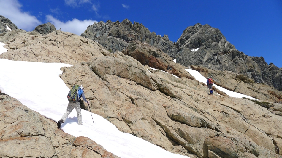
Will we ever get there?
|
Our approximate route.
|
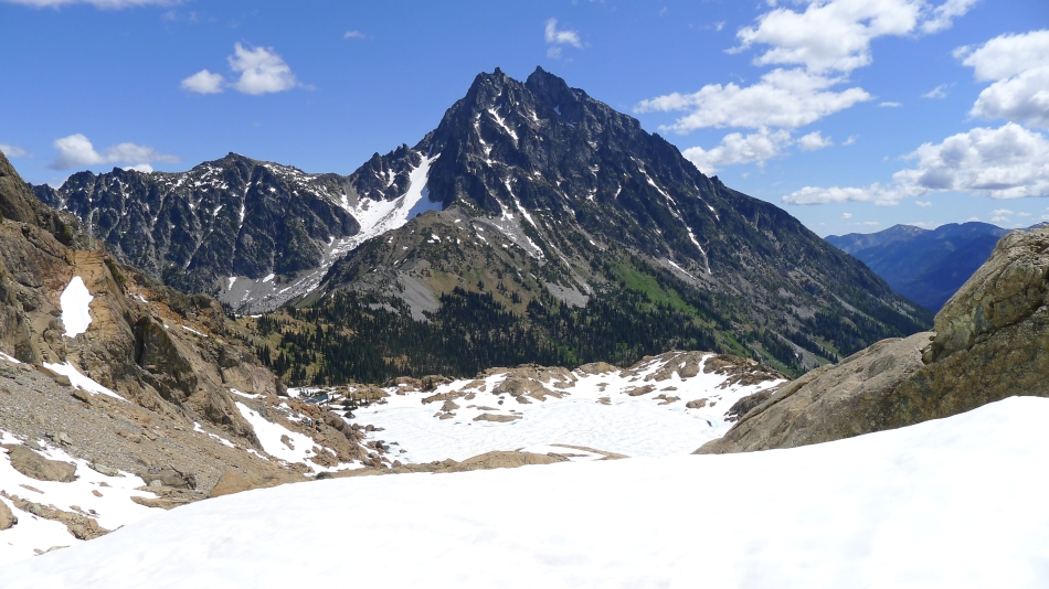
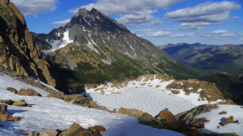
Looking down on Ingalls Lake... and out to Mt. Stuart.
|
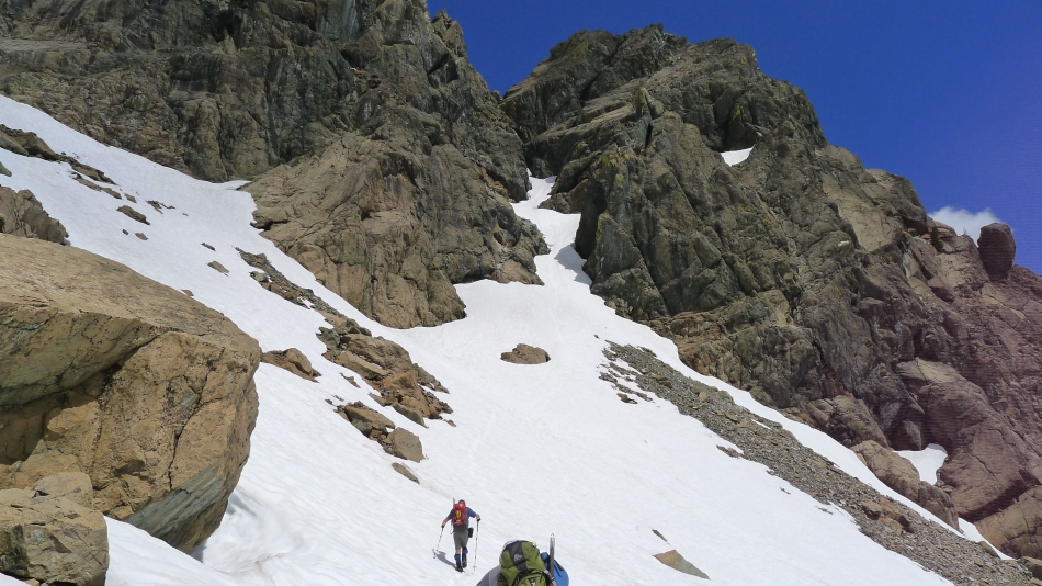
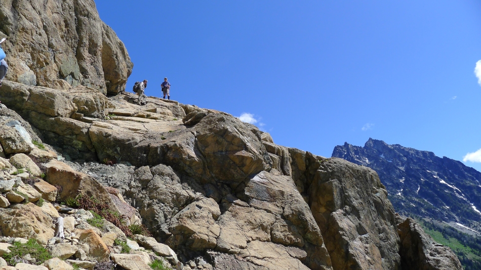
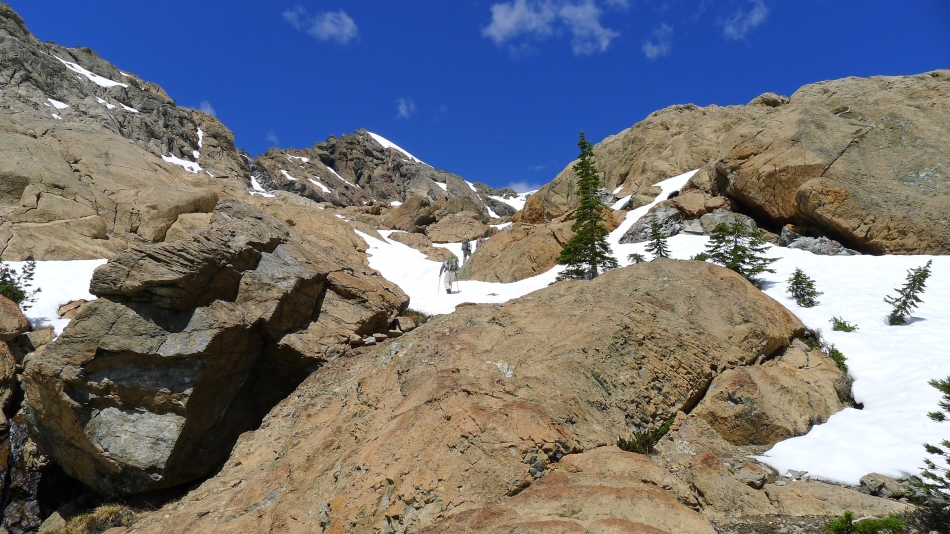
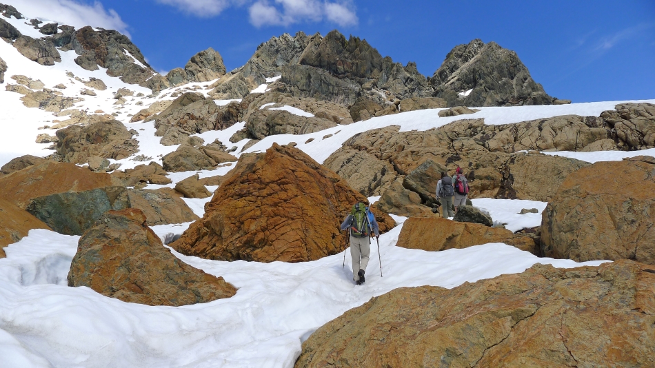
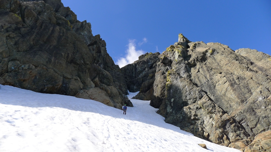
Heading for the approach gully... with the East Ingalls summit on the right.
|
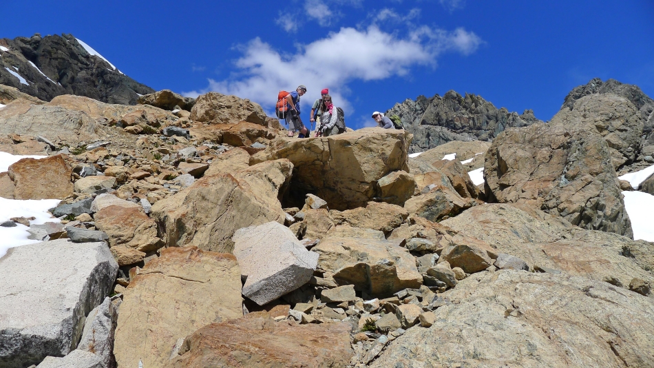
Off of the snow and looking for a good place to store our packs and change into our climbing gear.
|
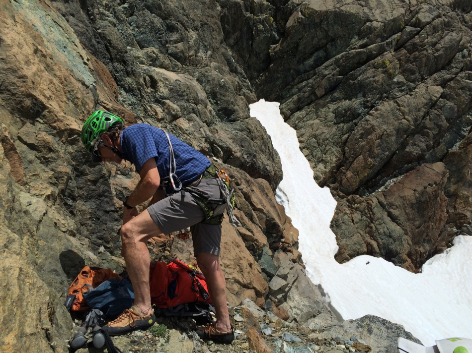
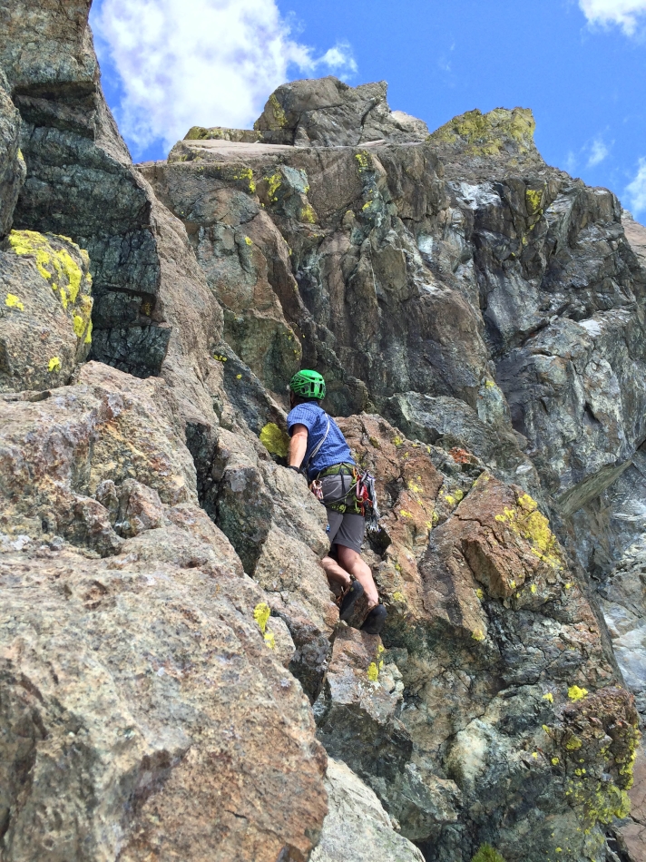
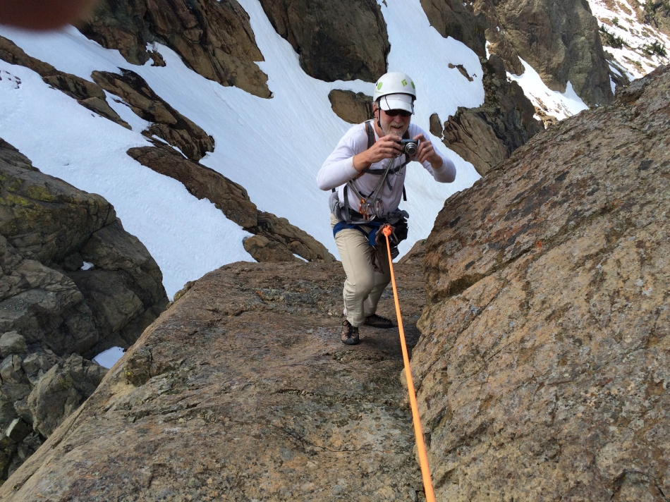
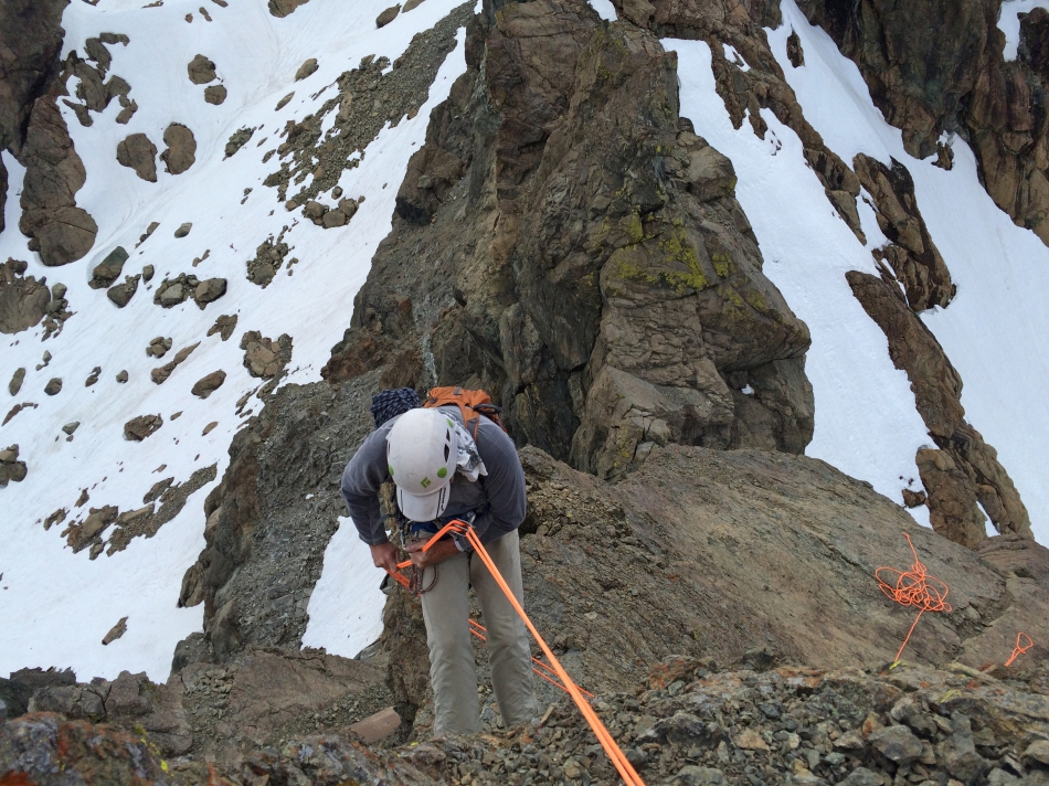
iraman is ready to lead the first pitch.
|
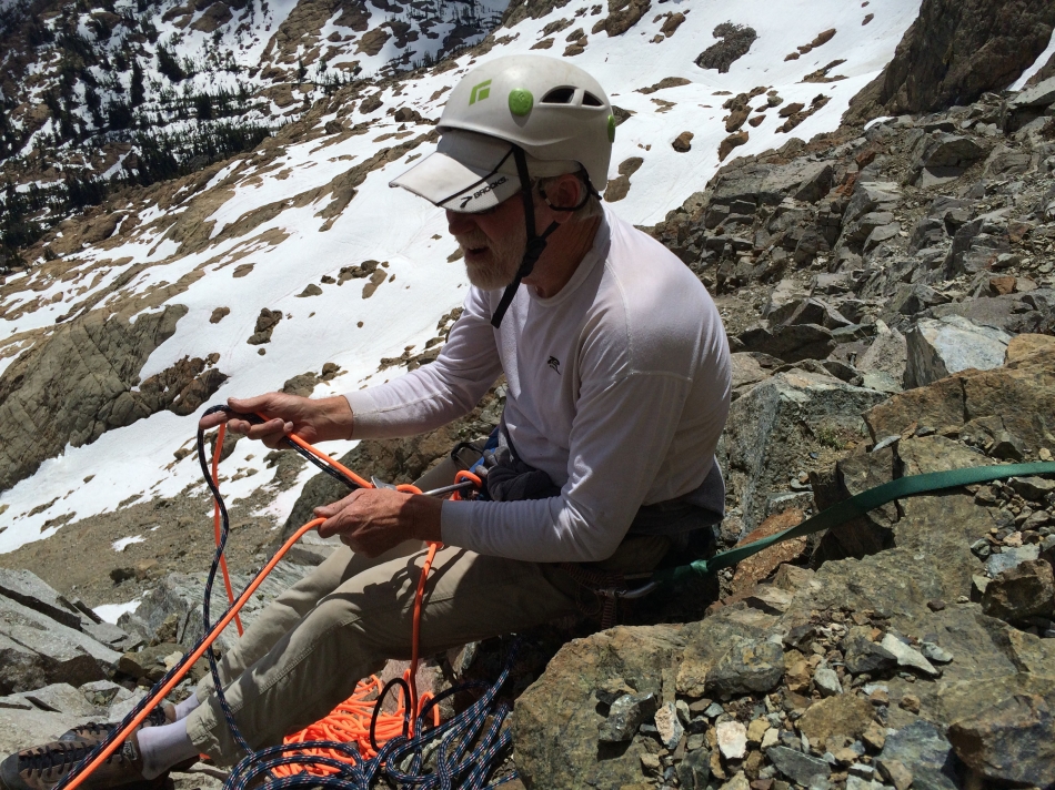
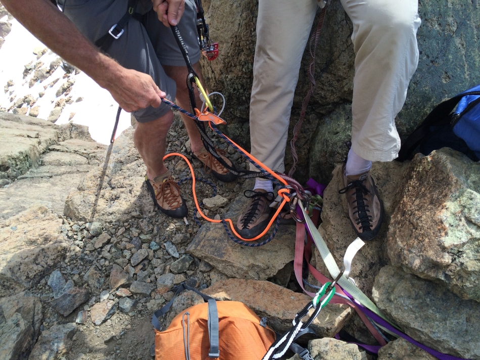
rocman will belay iraman on the first pitch... iraman will take two ropes as he climbs.
|
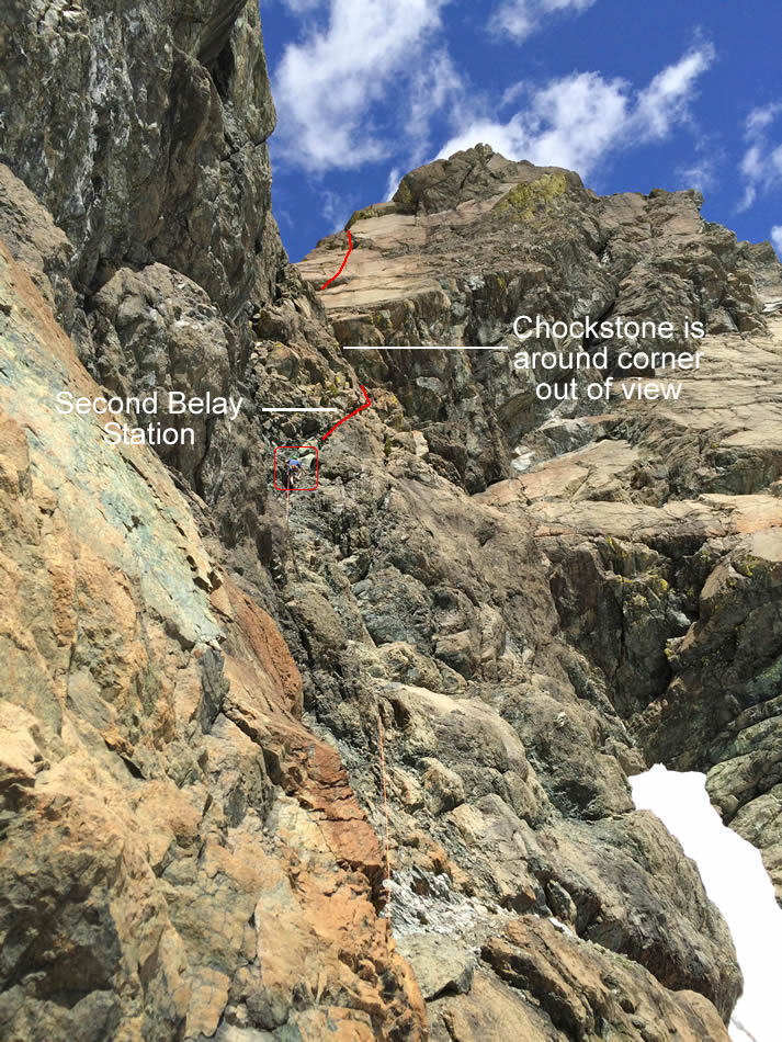
iraman on the first pitch... just below the belay station that he will set up for the second pitch.
|
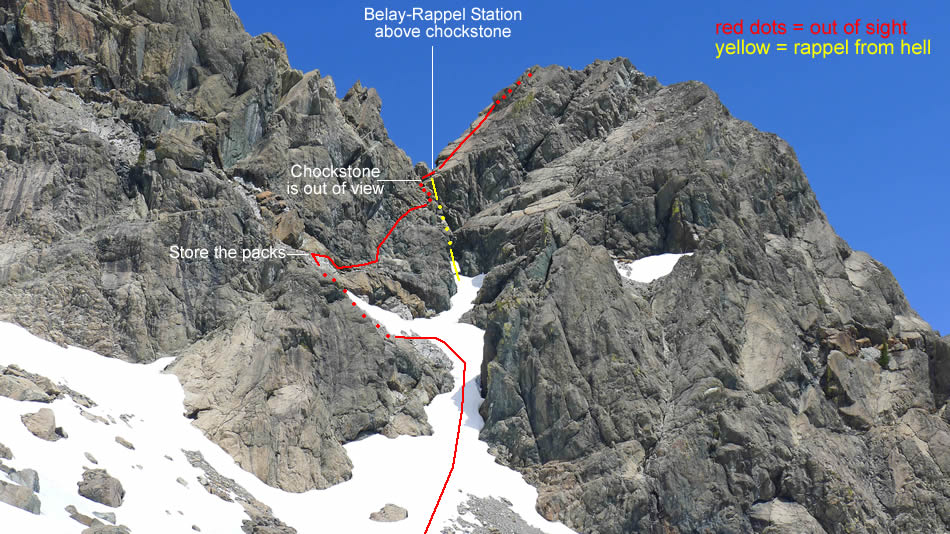
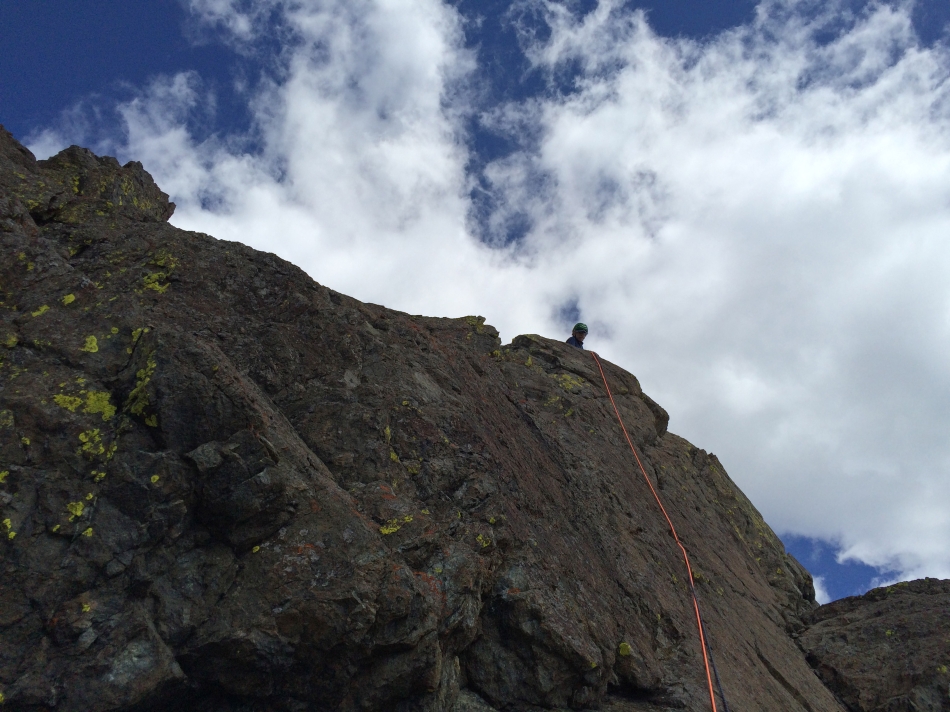
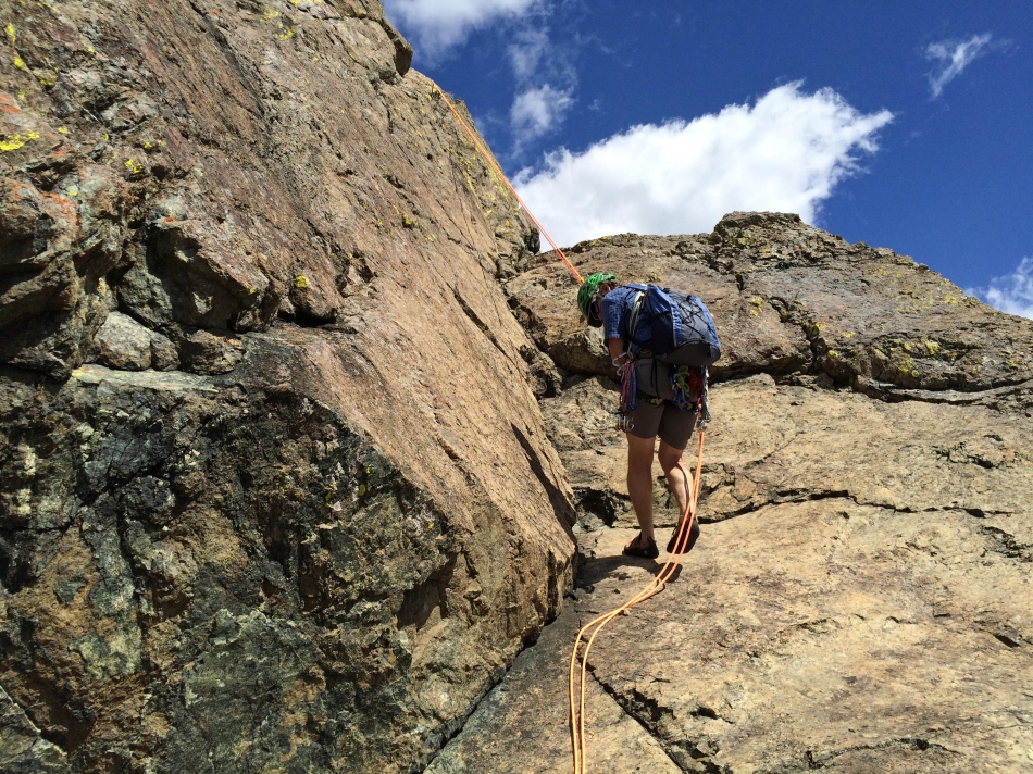
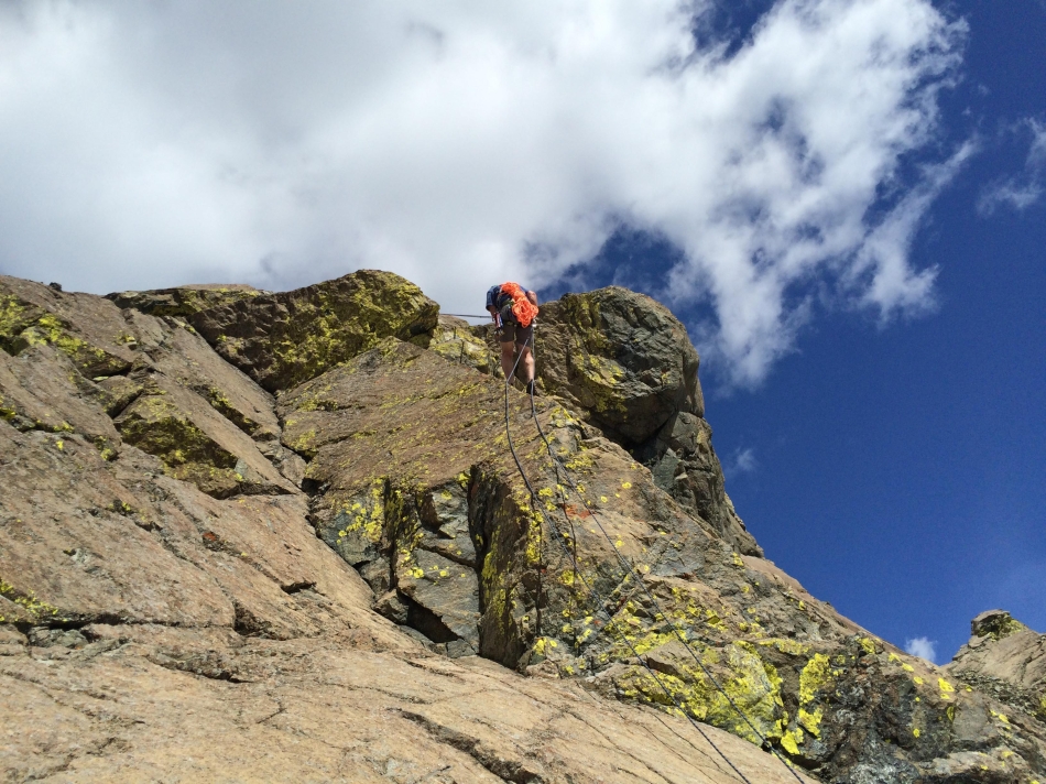
iraman leading the second pitch... getting ready to round a corner where he will find a chockstone at the top of the approach gully.
|
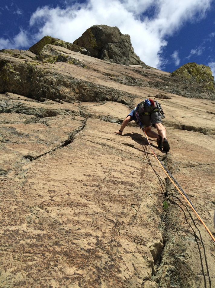
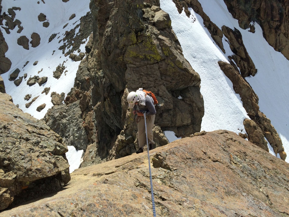
We set up the third belay station on a nice platform above the chockstone at the top of the gully... and iraman leads the third pitch.
|
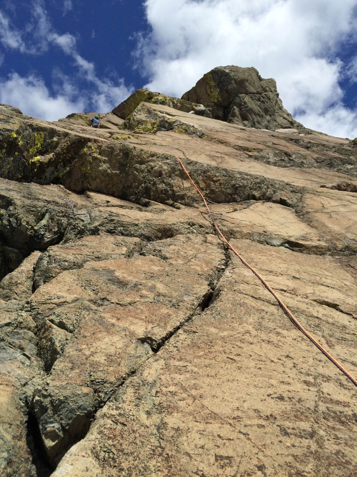
iraman still leading the third pitch.
|
rocman locked in at the fourth belay station... leaving a short pitch to the false summit.
|
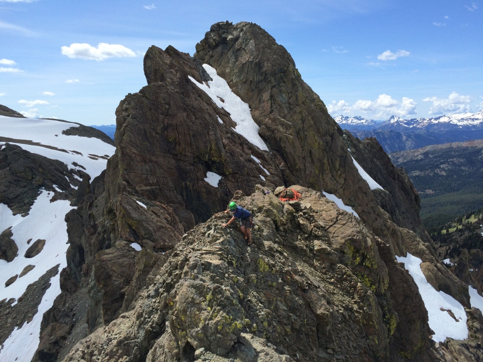
iraman on the false summit... at the top of the short fourth pitch.
|
rocman making the unprotected Class 3 scramble over toward the east summit of Ingalls Peak.
|
rocman nears the east summit... with Mt. Stuart in the distance.
|
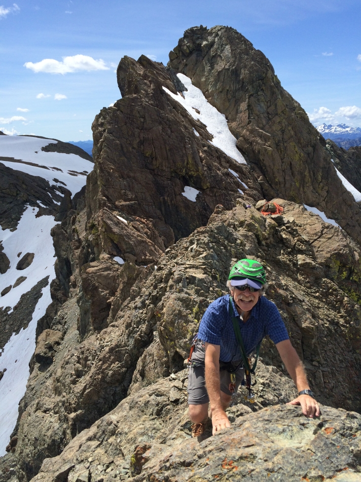
iraman starts the Class 3 scramble from the false summit over to the true summit... the north summit of Ingalls Peak is behind him.
|
The last move to the summit.
|
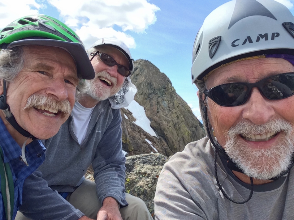
iraman, rocman and ragman on the east summit of Ingalls Peak... with the north summit behind us.
|
Mt. Stuart from the east summit of Ingalls Peak.
|
From the east summit we are looking at the south (left) and north summits of Ingalls Peak.
|
rocman makes the short rappel off of the false summit.
|
iraman coming off of the false summit.
|
rocman starts the rappel down to the large belay-rappel station above the chockstone.
|
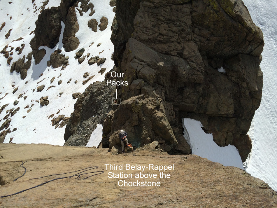
rocman on the belay-rappel station above the chockstone... we can see our packs ~150 feet below us... little did we know that it would take 1.5 hours to get back to them.
|
iraman rappelling down to the belay-rappel station above the chockstone at the top of the gully.
|
We have tied both of the 60 meter ropes together for the rappel down the gully.
|
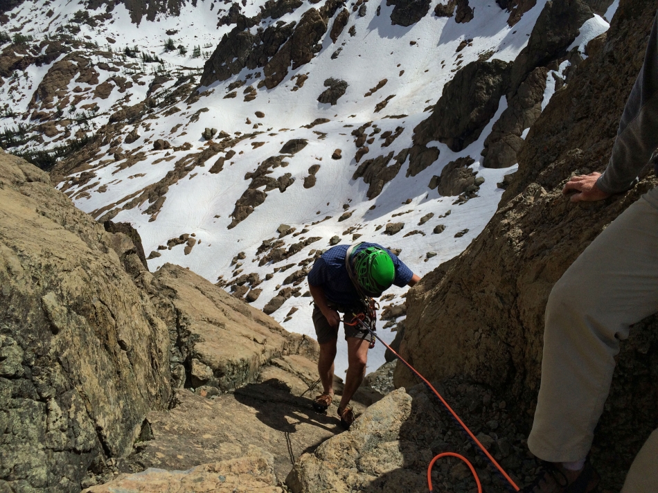
iraman starts his rappel down the gully that will eventually get us back to our packs.
|
The snow at the bottom of the extremely difficult 'rappel from hell'... both of the ropes got stuck in the gully and we could not get them loose.
|
iraman coming down from our approach gully... the climbing gear is off and the packs are back on.
|
iraman and rocman coming down from our approach gully to the east summit of Ingalls Peak.
|
Ingalls Lake and Mt. Stuart... as we head back toward Ingalls Pass.
|
'Not Hinkhouse' Peak and Ingalls Pass on the left side of the photo.
|

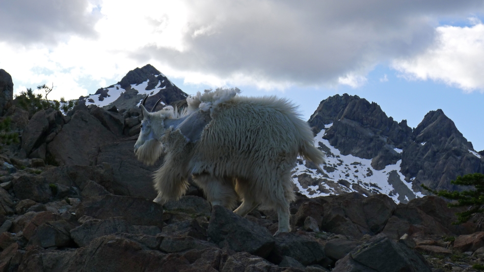
iraman and two goats near Ingalls Pass.
|
Last look at Ingalls Peak before we start the 3.5 mile hike back to the car.
|
