McClellan Peak - 6.9.2015
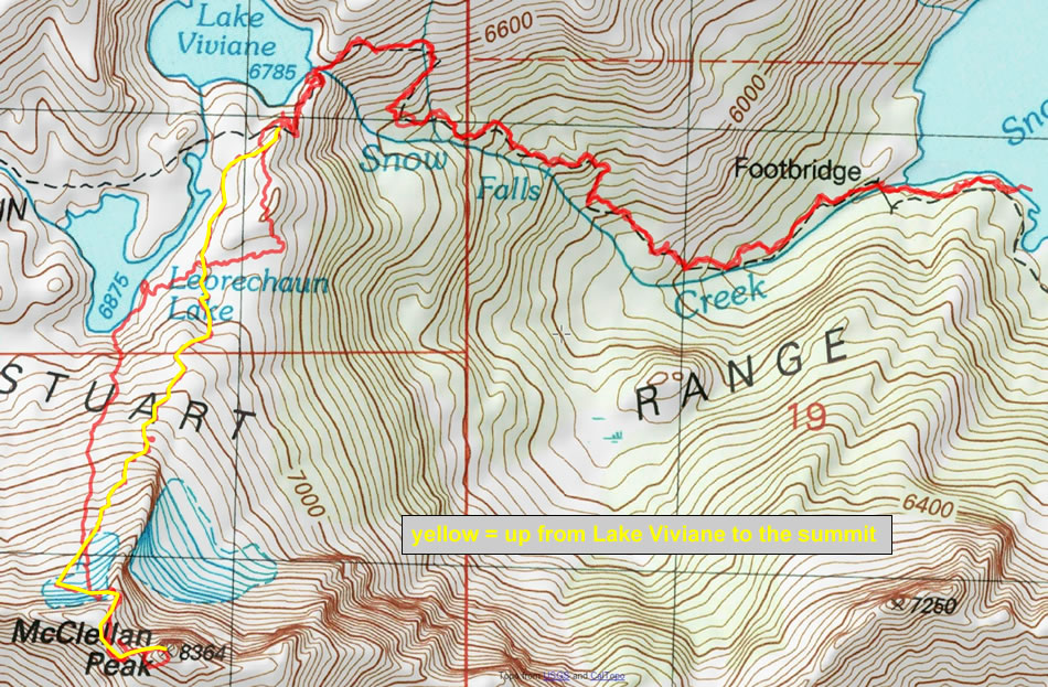
A photo of our GPS track from our campsite at upper Snow Lake to the summit of McClellan Peak... 6.5 miles roundtrip, gaining ~3200 feet of elevation... the hike from the Snow Lakes Trailhead to our campsite at upper Snow Lake was ~8.75 miles, gaining 4561 feet of elevation... for a 3 day total of ~24 miles, gaining ~8000 feet of elevation.
|
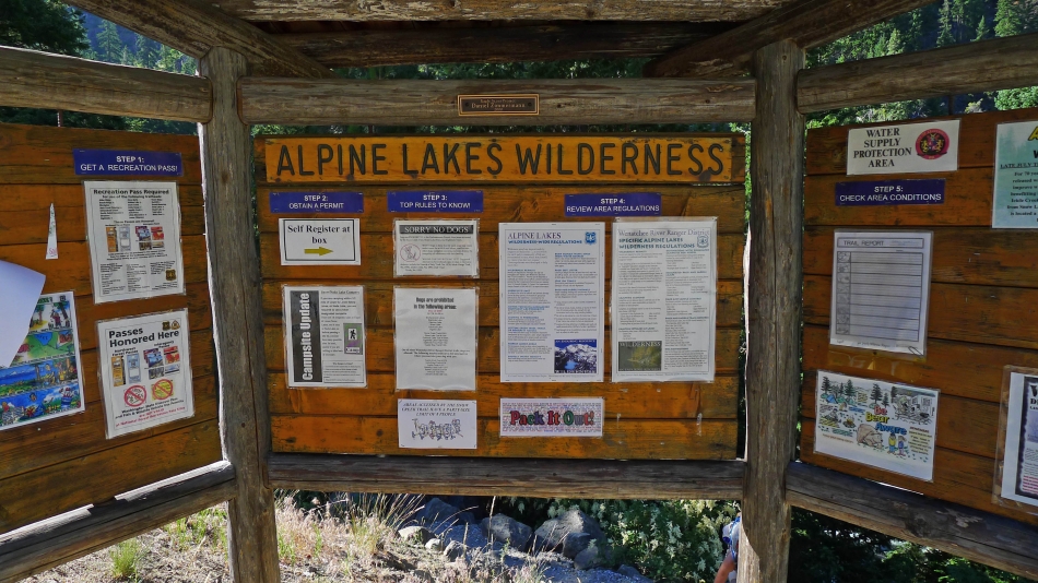
The information board at the Snow Lakes Trailhead (~1360') just off of the Icicle Creek Road.
|
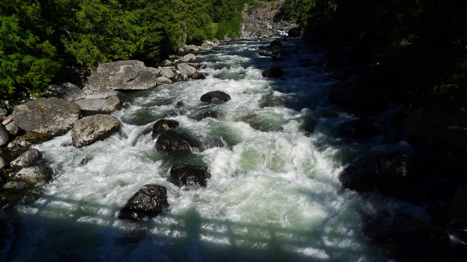
We immediately lost 50 feet of elevation from the parking lot down to a churning Icicle Creek.
|

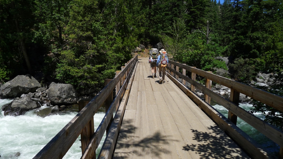
BarbE at the bridge crossing of Icicle Creek.
|
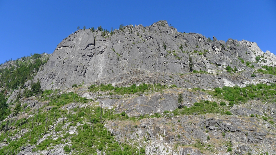
The Snow Creek Wall appears after a couple miles of hiking... a popular local climbing area.
|

Relaxing at the crossing (~4200') of Snow Creek... after hiking ~4.5 miles.
|
Passing by Lake Nada (~4900') after hiking a total of more than 5 miles.
|
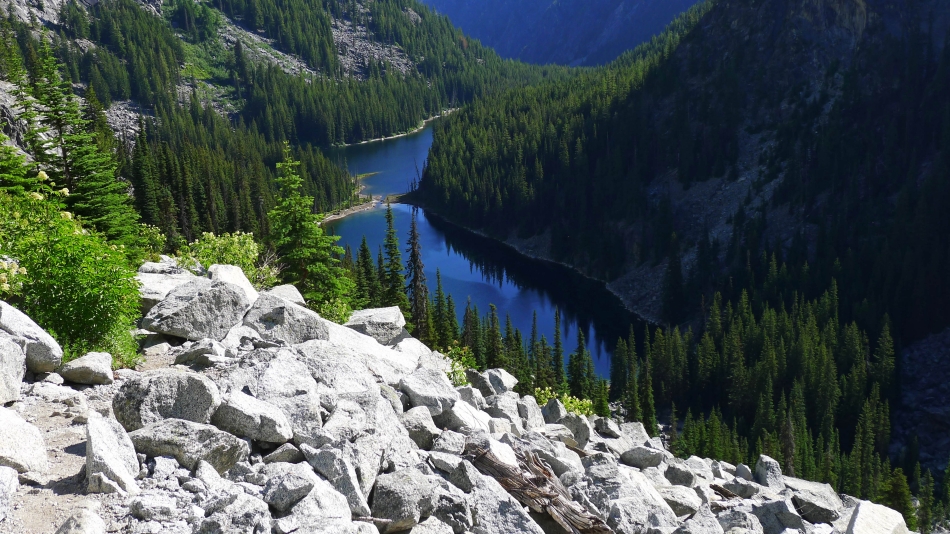
Looking back and down on Lake Nada as we near Snow Lakes.
|

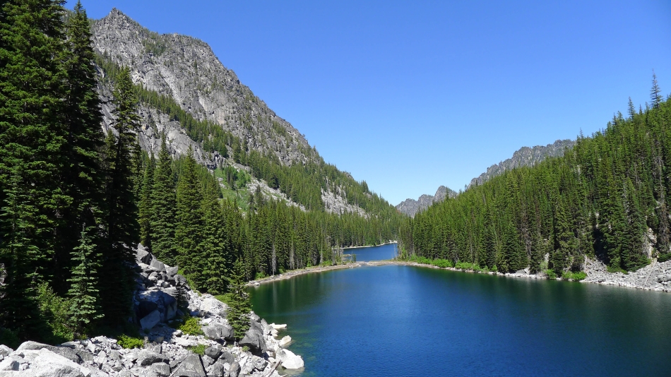
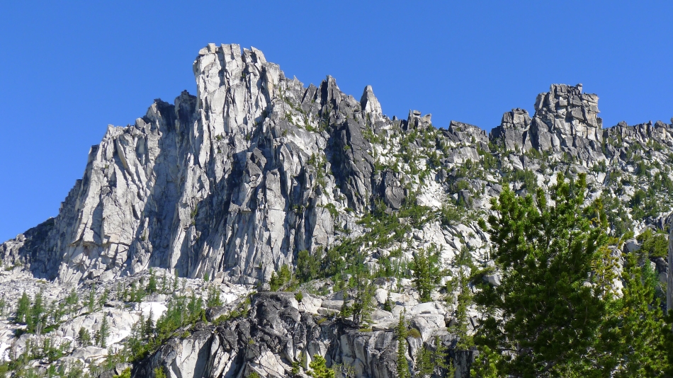
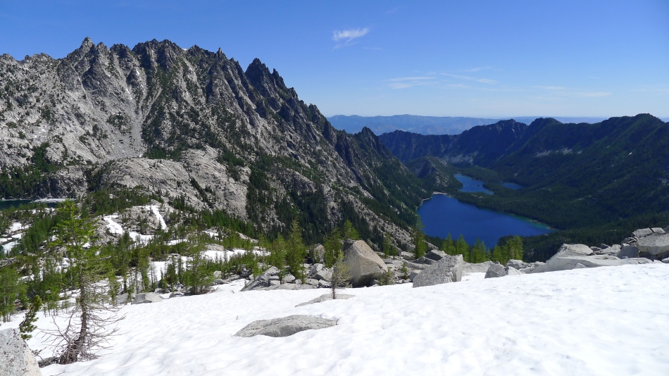
Arriving at Snow Lakes (5420')... and getting our first good look at McClellan Peak... which will be our target the next day... the lower Enchantments basin is on the plateau to the right of McClellan.
|
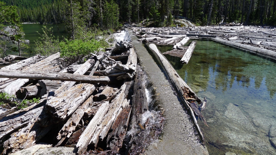
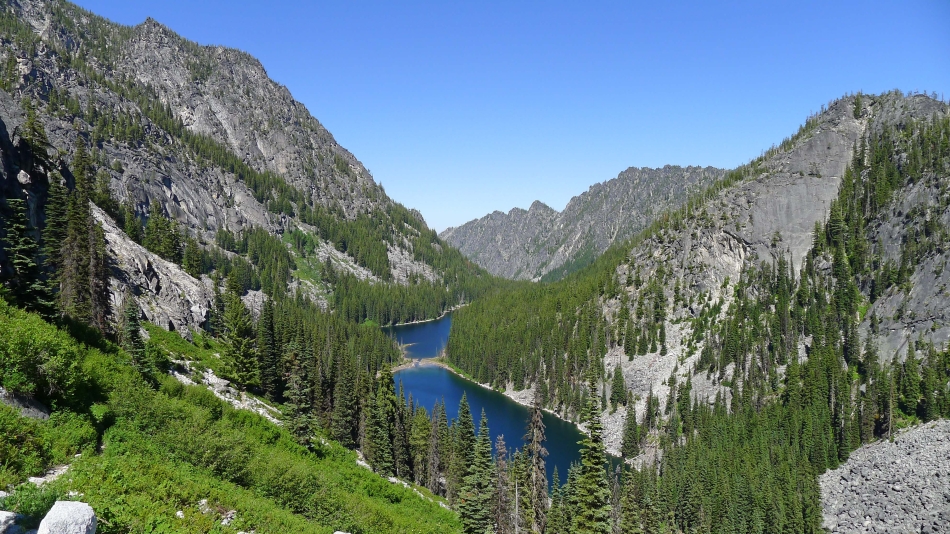
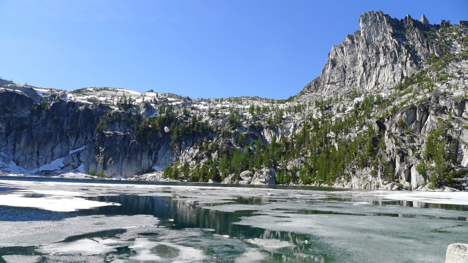
The dam crossing that separates the lower Snow Lake from the upper Snow Lake.
|
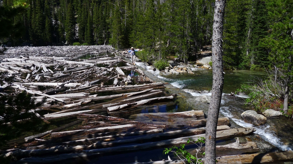
BarbE crossing the dam that separates the two Snow Lakes... we still have more than 1.5 miles of hiking to reach our campsite at the west end of the upper lake.
|

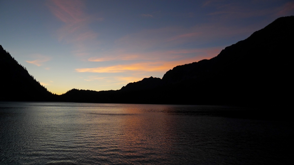
Upper Snow Lake at sunset from our campsite at the west end of the lake.
|
5:00 a.m. the next morning from our campsite on upper Snow Lake.
|

Our camp at the west end of upper Snow Lake.
|
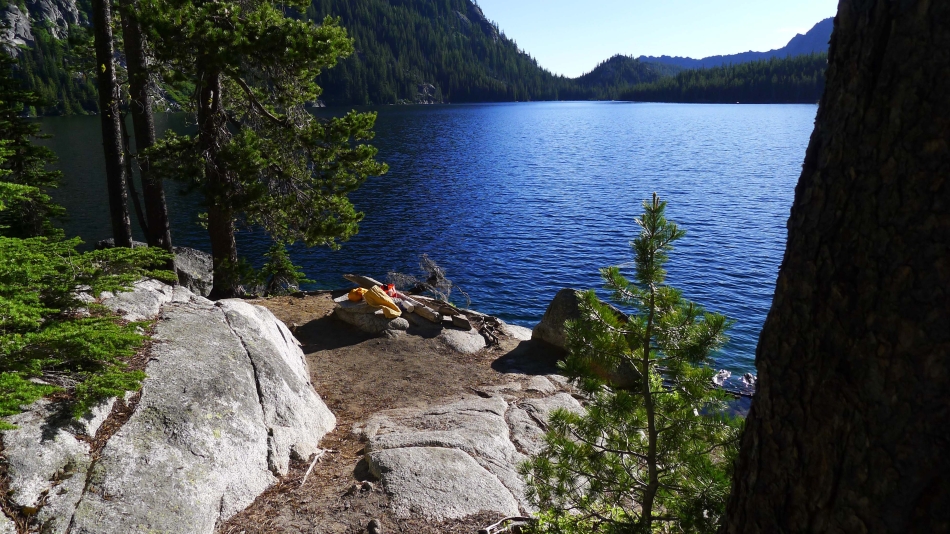
Our campsite kitchen at the west end of upper Snow Lake.
|
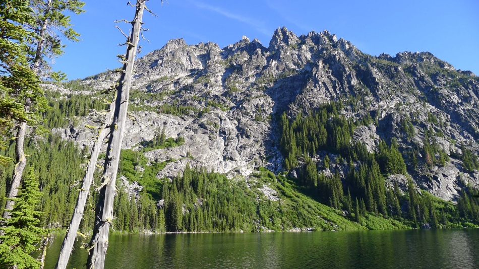
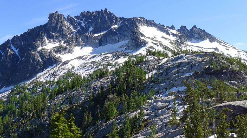
Temple Ridge from near our campsite on upper Snow Lake.
|
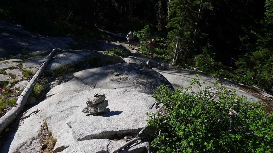
We are on the move... heading up the trail on our way to the lower Enchantments basin.
|
Ascending up to the lower Enchantments basin... cairns lead the way.
|

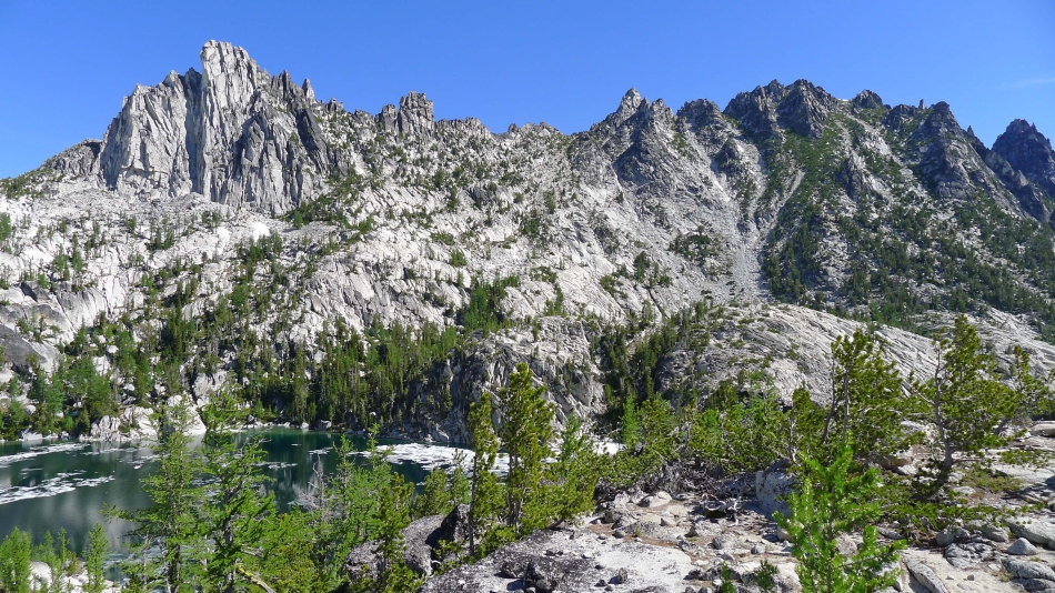
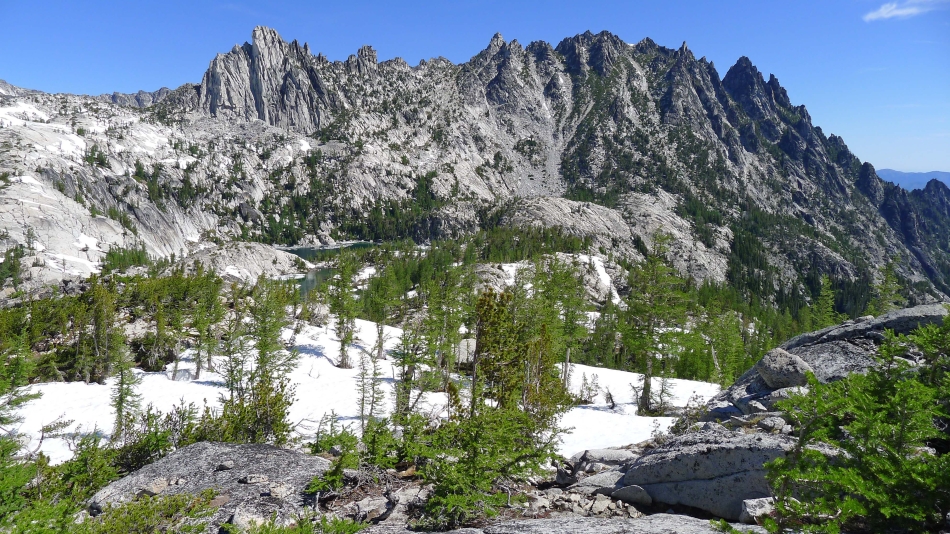
Nearing Lake Viviane... the first lake in the lower Enchantments... and our approximate route to McClellan Peak.
|
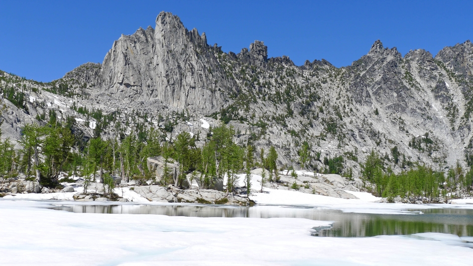
Arriving at beautiful Lake Viviane... with Little Annapurna on the horizon in the middle of the photo.
|
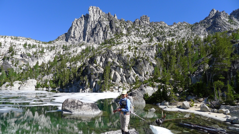
McClellan Peak (left) and Little Annapurna (right) from Lake Viviane.
|
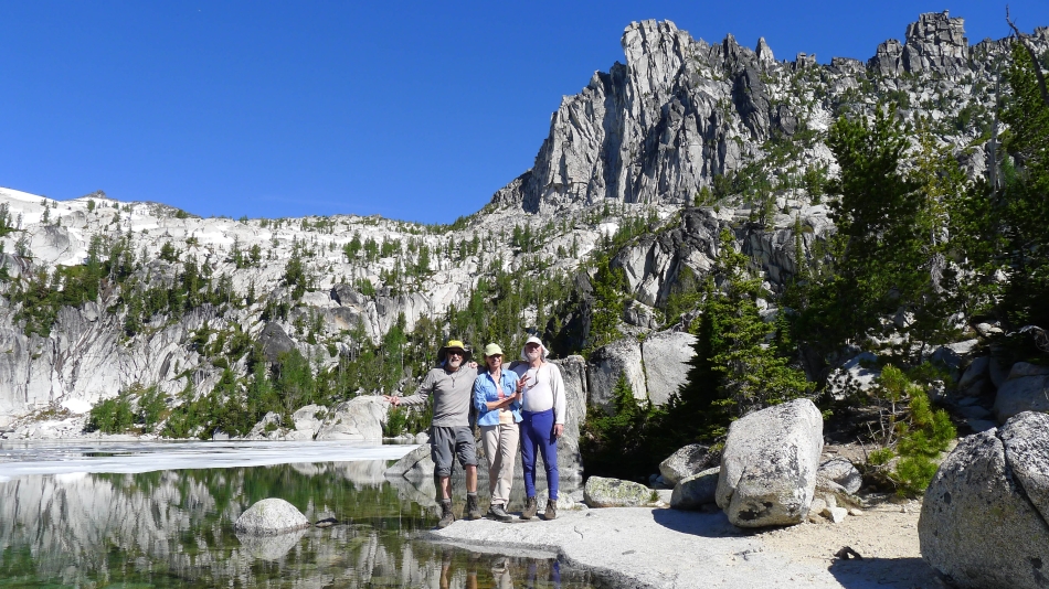
ragman, BarbE and rocman at Lake Viviane... with Prusik Peak and 'The Boxtop' above us.
|
A closer look at Prusik Peak and 'The Boxtop'.
|
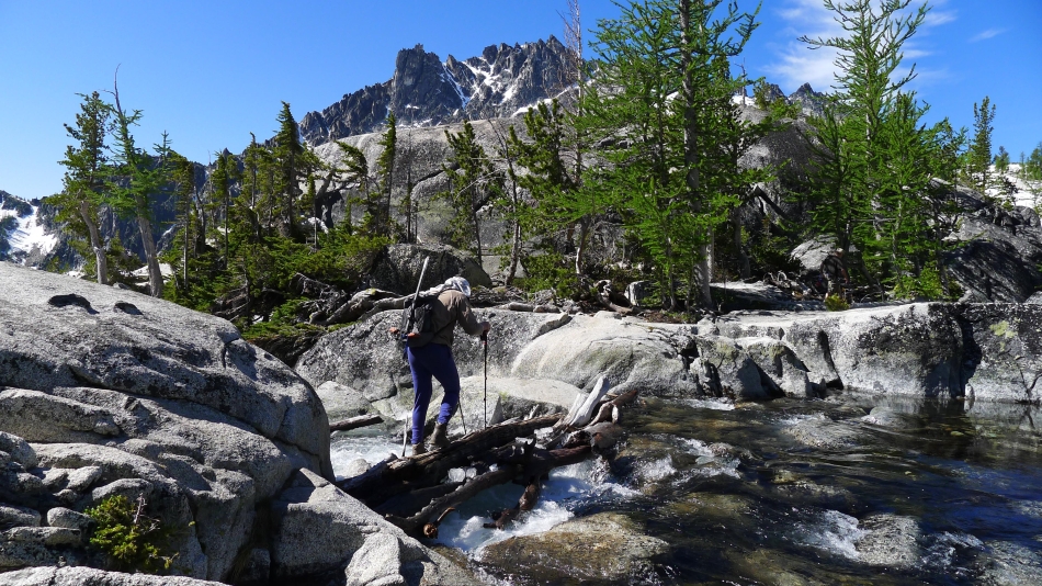
rocman crosses the log bridge at Lake Viviane.
|
BarbE at Lake Viviane... with Prusik Peak, 'The Boxtop' and High Priest above.
|
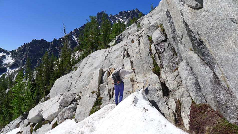
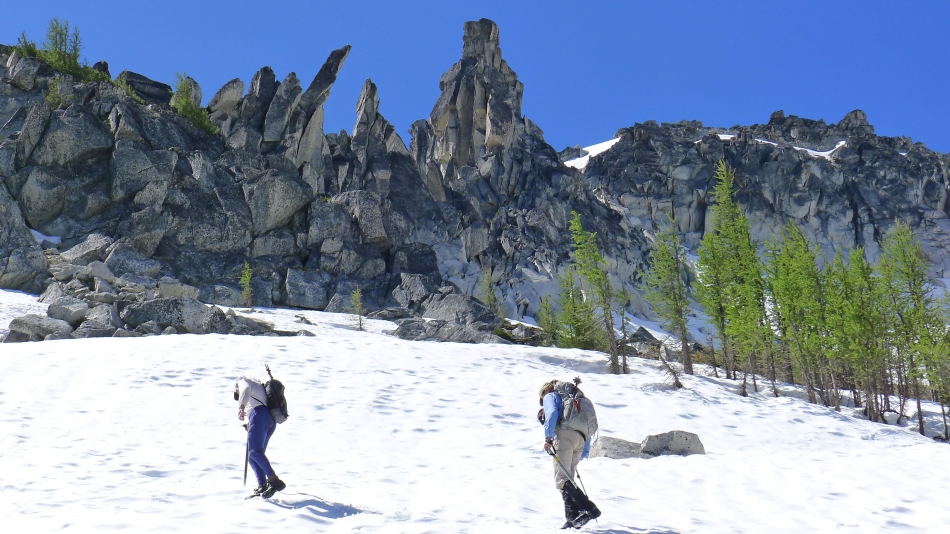
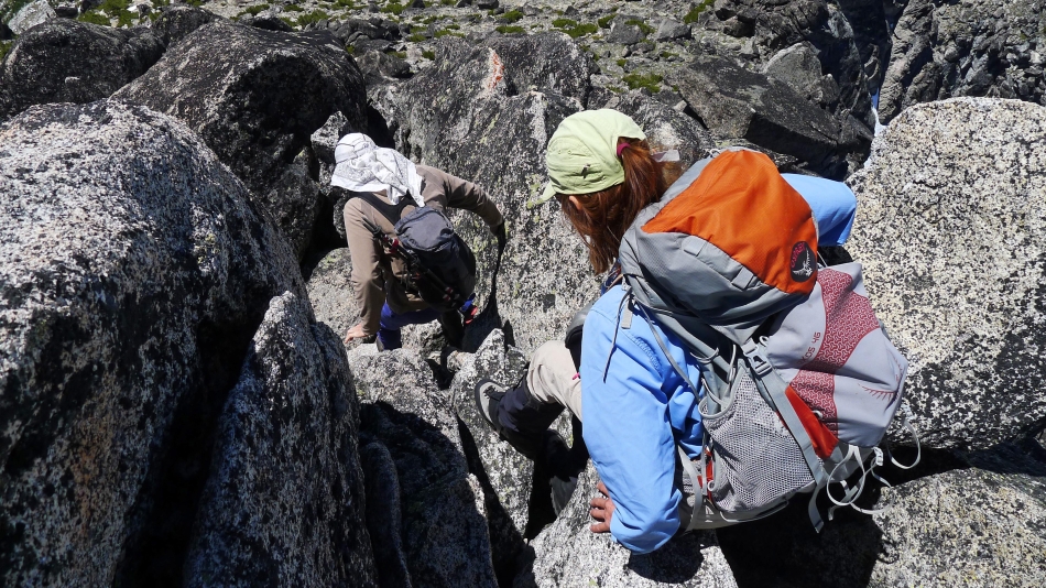
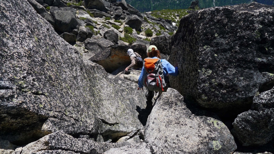
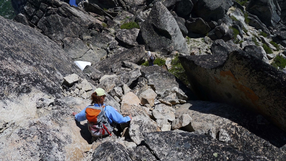
Following cairns on our way to McClellan Peak.
|
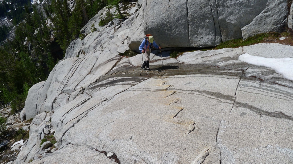
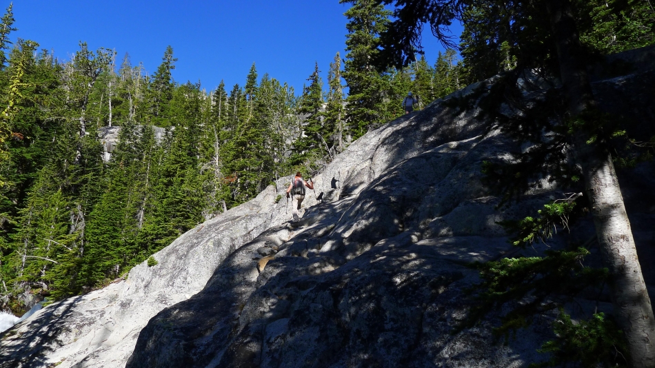
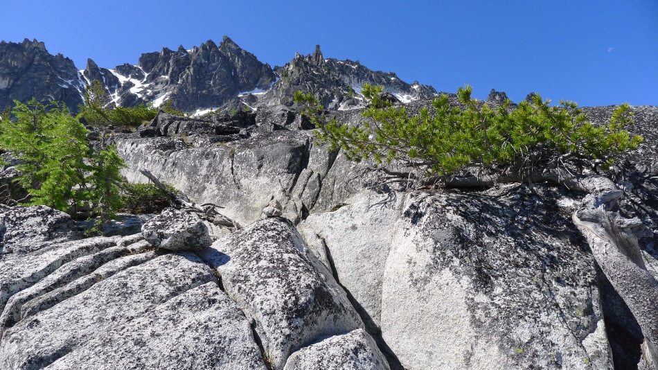
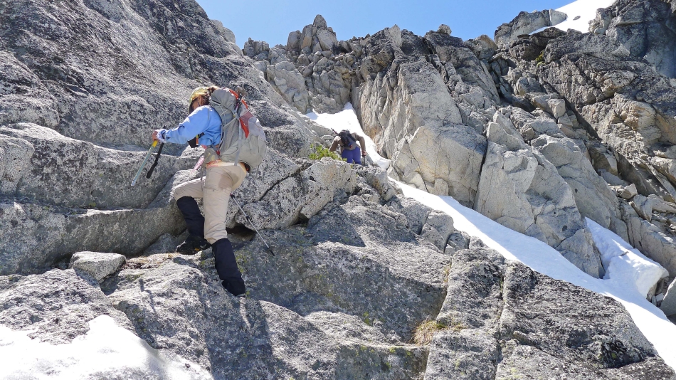
The assistance here is appreciated... imagine if this were icy.
|
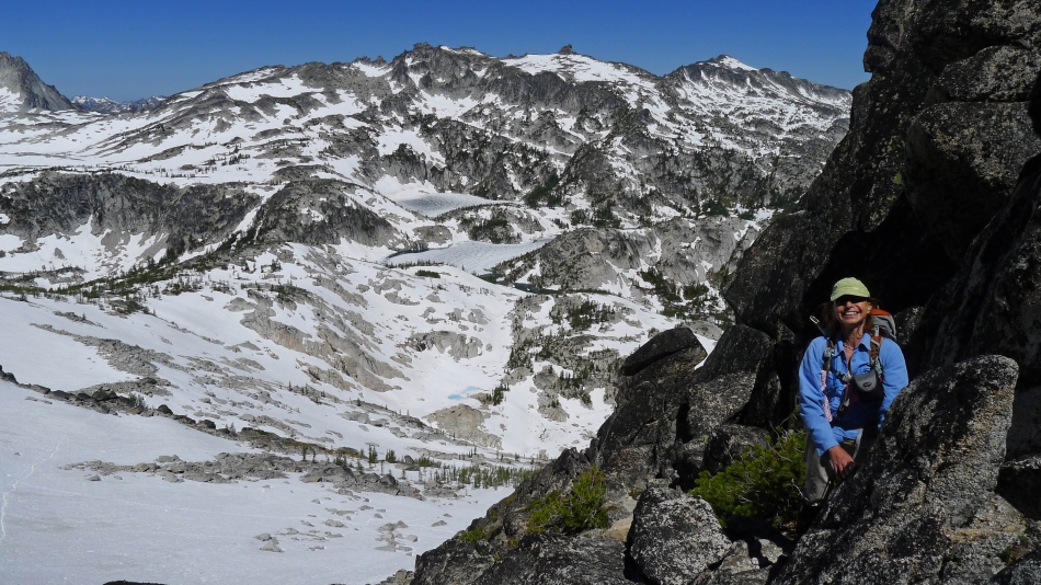
Looking back at Lake Viviane, Prusik Peak and Temple Ridge as we head for McClellan Peak.
|
Looking up at Little Annapurna, Dragontail Plateau and Dragontail Peak in the upper Enchantments basin.
|

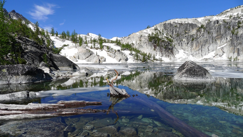
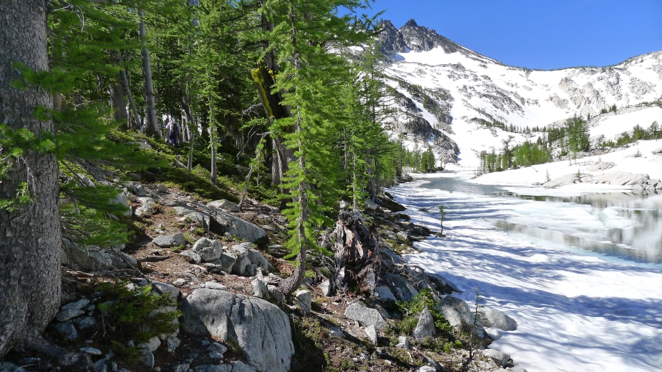
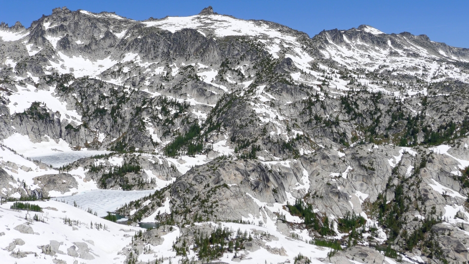
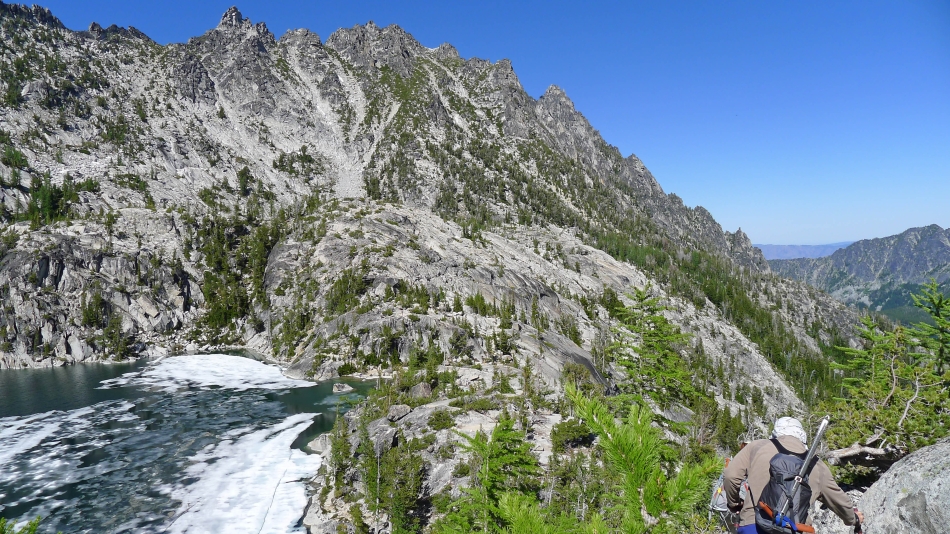
On the eastern shoreline of Leprechaun Lake... and looking up at the upper Enchantments basin.
|
Continuing along the eastern shoreline of Leprechaun Lake... with the western end of McClellan Ridge above.
|
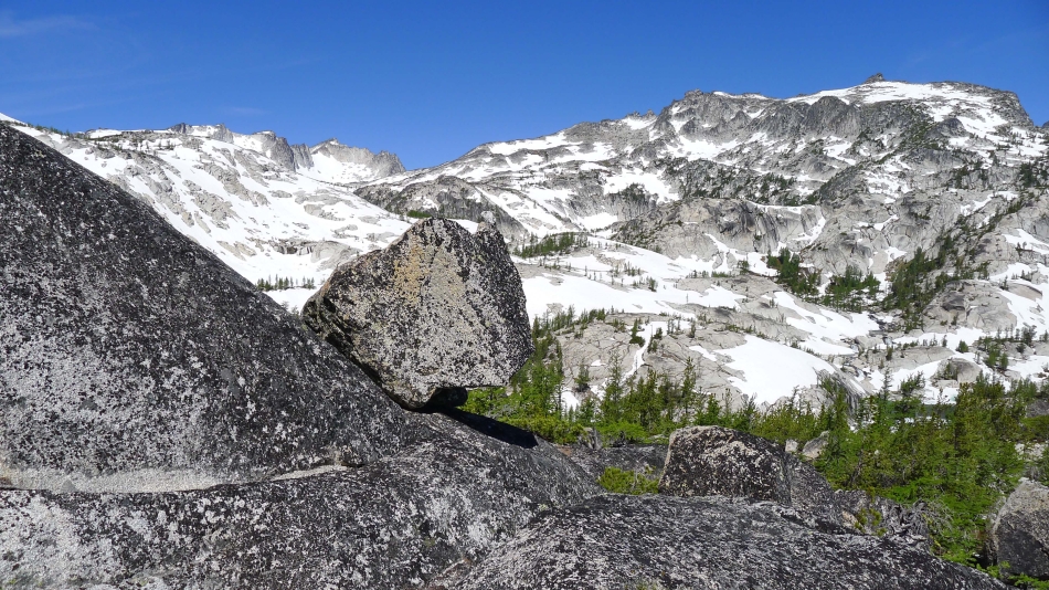
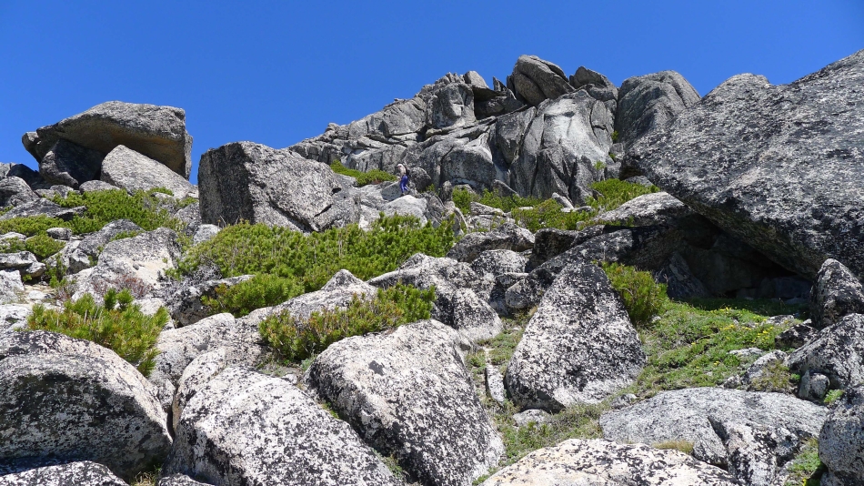
Gaining elevation and looking at McClellan Peak above.
|
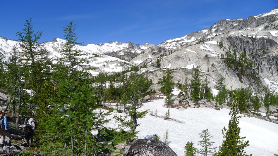
Every step higher gives a broader view of the upper Enchantment basin.
|
Looking back at Temple Ridge, Leprechaun Lake and Lake Viviane as we continue up.
|
Continuing up.
|
Looking back at Temple Ridge and down on Snow Lakes.
|

High above the lower basin now... BarbE hides in the trees in the lower right corner of the photo... with Enchantment Peak on the other side of the basin.
|
rocman and BarbE gaining elevation underneath 'The Prong'.
|

Still continuing up.
|
Now we can see Inspiration Lake and Perfection Lake in the lower basin... with Enchantment Peak and Cannon Mountain on the horizon.
|
Spotlight on 'The Prong'.
|

BarbE ascending... with Leprechaun Lake and Lake Viviane below... and Temple Ridge on the left.
|
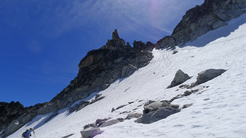
Tracks in the snow leading over toward 'The Prong'.
|
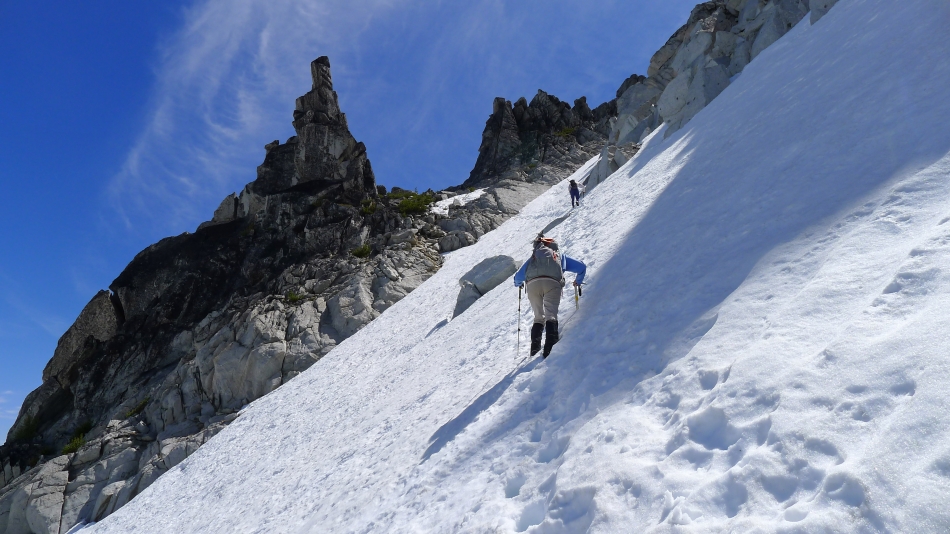
rocman and BarbE heading toward 'The Prong'.
|
BarbE got this shot of me nearing 'The Prong'... with Dragontail Peak behind me at the head of the upper basin.
|
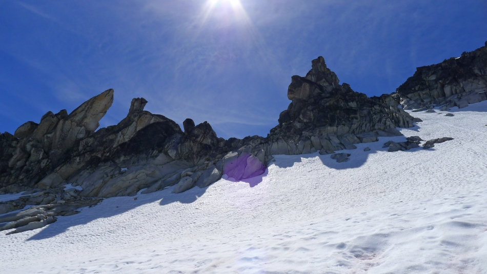
At 'The Prong' and continuing higher.
|
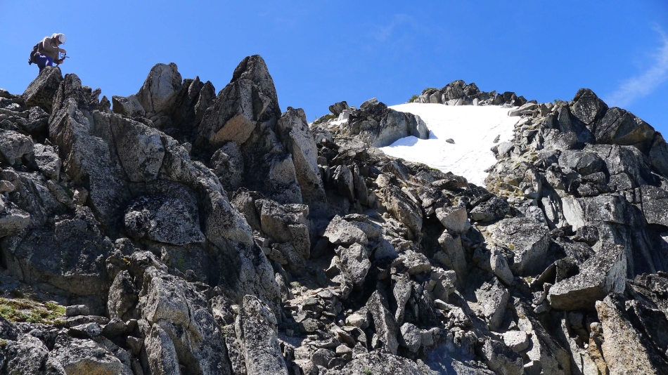
Above 'The Prong' now... on Class 3 rock... another 100 feet of elevation gain will get us a good look at the McClellan Peak summit.
|
Are we having fun yet... BarbE on Class 3 rock... with Inspiration Lake and Perfection Lake below... Aasgard Pass on the far left... with Enchantment Peak and Cannon Mountain on the other side of the basin.
|
rocman on the ridge.
|
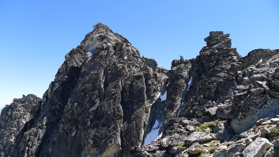
Now we can see the summit of McClellan Peak... we will continue around to the right and go over to the south side of the mountain to access the summit.
|

rocman and BarbE getting ready to cross over to the south side of the summit block.
|
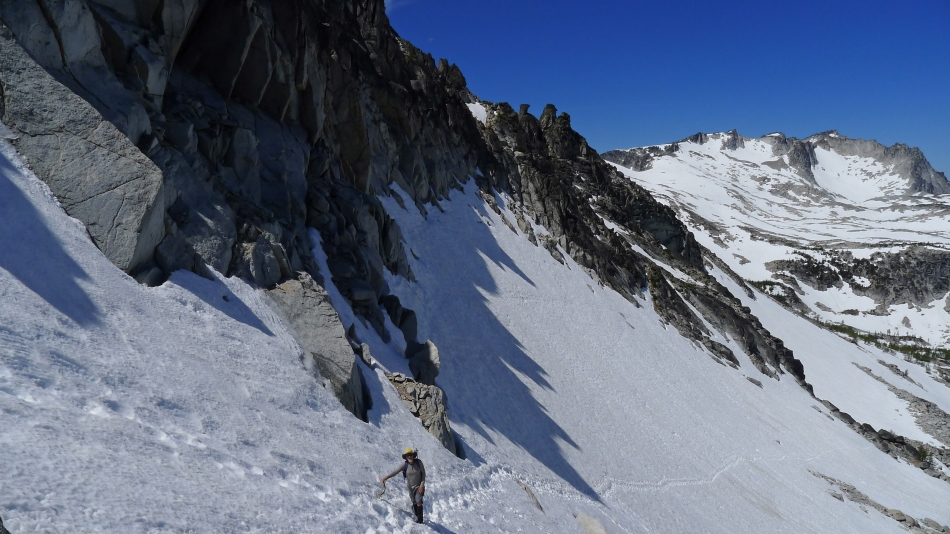
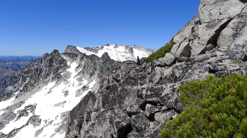
Near the ridge crest... with 'The Prong' in the lower left corner... Temple Ridge on the left and Snow Lakes below.
|

BarbE on the ridge... looking across the Teanaway Peaks to Mt. Rainier in the distance.
|
On the south side of the ridge... looking beyond 'The Chessmen' to Little Annapurna and Dragontail Peak.
|

BarbE and rocman on the south side of the ridge... working around a huge rock outcropping on the way to the McClellan summit block.
|
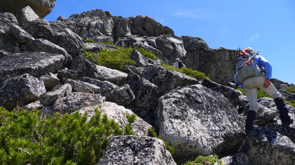
Heading for the summit block of McClellan Peak.
|

At the summit block of McClellan Peak.
|
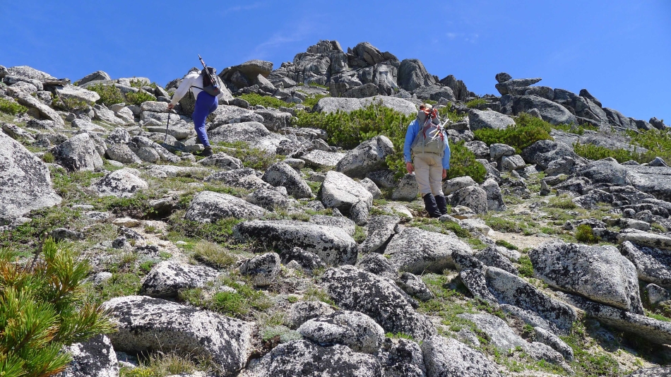
Looking for a good route to the summit.
|

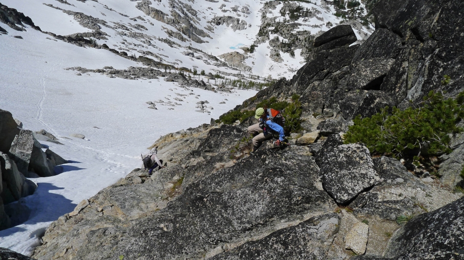
rocman makes a few Class 4 moves on the west ridge of the summit block.
|
rocman nears the summit.
|

Here comes BarbE on the Class 4 section on the west side of the summit block.
|
Above the Class 4 section now... time to exhale.
|
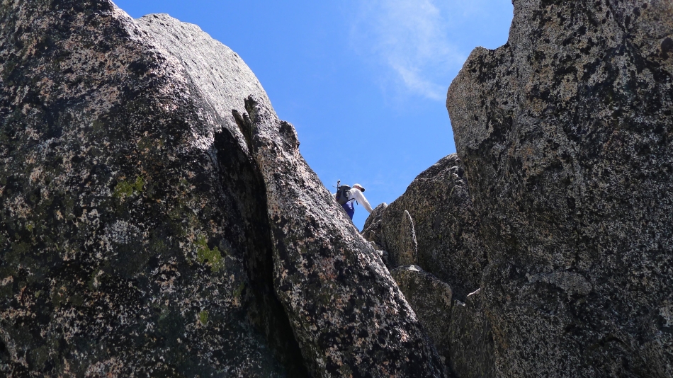
Tight quarters near the summit.
|

Get around that fin.
|
rocman is one giant step from the summit.
|
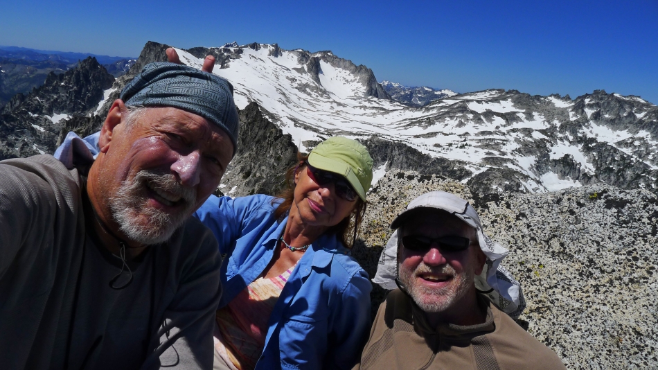
A summit selfie on the summit of McClellan Peak (8364').
|

BarbE signs us into the summit register.
|

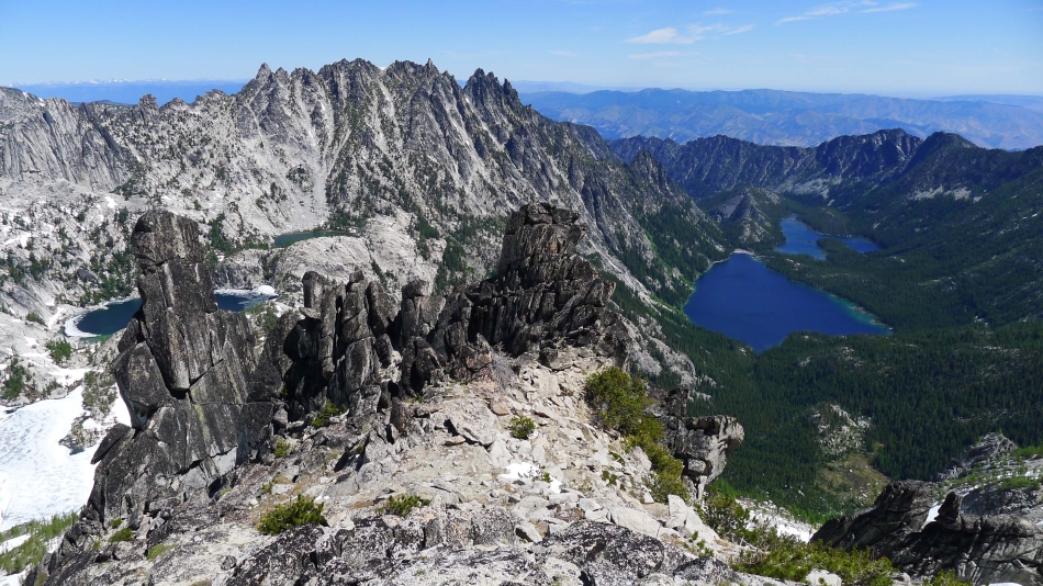
Looking down on Snow Lakes from the McClellan summit.
|
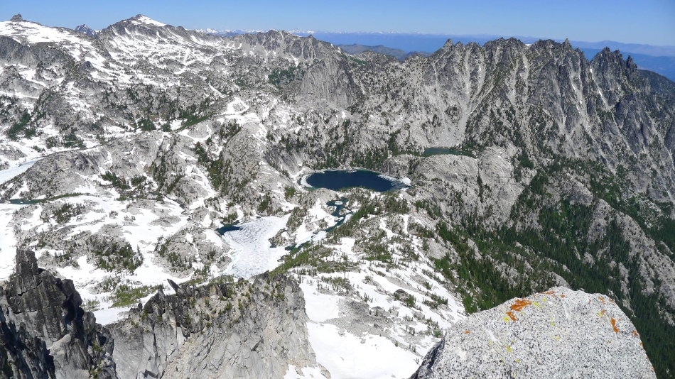
The lower Enchantments basin from the McClellan Peak summit... with Cannon Mountain on the left and Temple Ridge on the right.
|
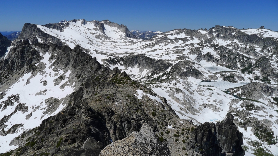
Aasgard Pass in the center of the photo... with Little Annapurna and Dragontail Peak to the left of the pass... and Enchantment Peak to the right of the pass.
|
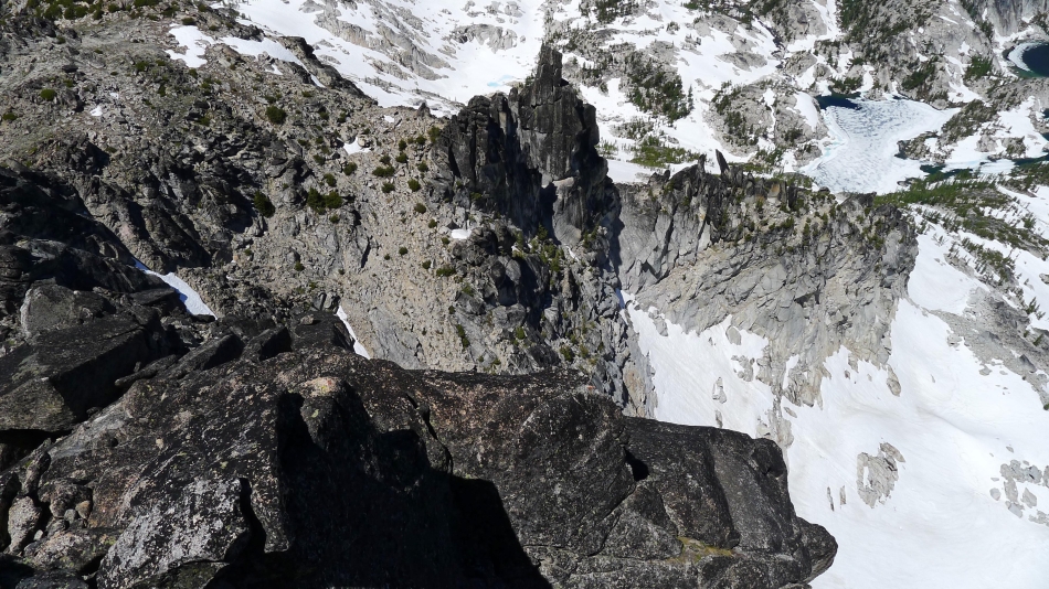
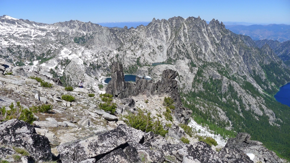
Looking down on 'The Prong' in the center of the photo... with Leprechaun Lake in the upper right corner of the photo.
|
Heading down from the summit... we will find a route that does not involve Class 4 climbing.
|
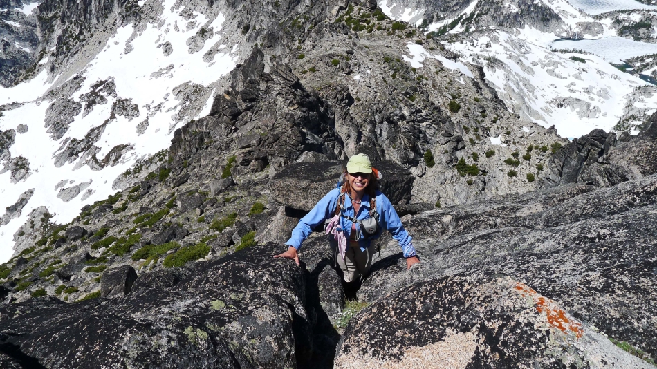
rocman shows us a route on the south side of the summit block that is Class 2/3.
|
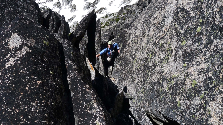
Almost down to easier terrain.
|

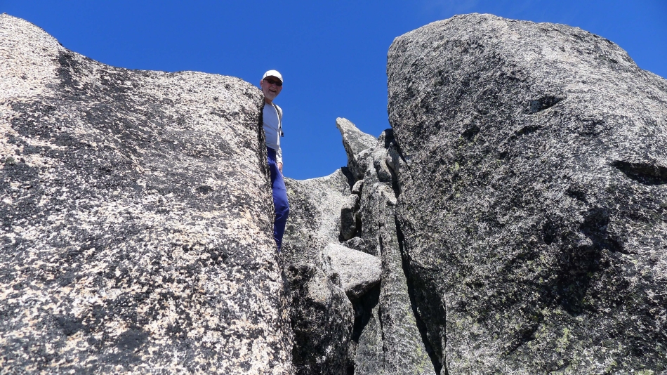
On the south side of the summit block.
|
Heading back over to the west side of the summit block to pick up our ice axes that we stored before heading up the Class 4 stuff.
|
Looking back at the summit as we head back around toward 'The Prong'.
|
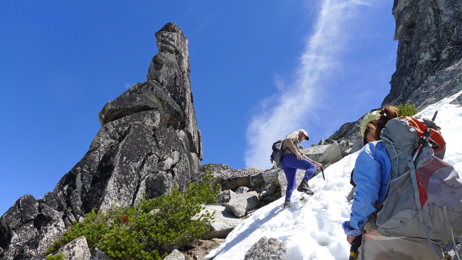
rocman standing near 'The Prong' as we get ready to head down to the snow.
|
Descending on the west side of 'The Prong'.
|
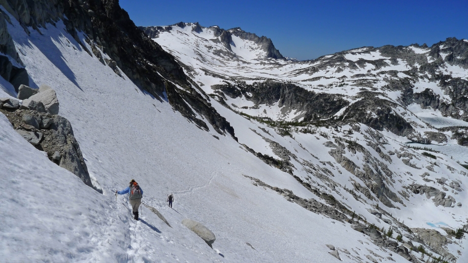
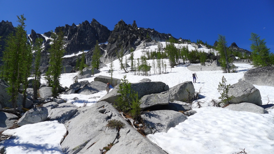
Following the steps in the snow as we descend... we will go half way across... then plunge step our way down to Leprechaun Lake.
|
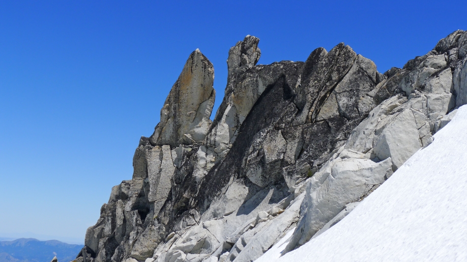
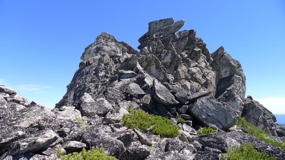
Do I see a shark in the rock formation on the left... or just hallucinating.
|
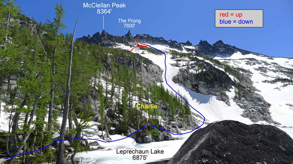
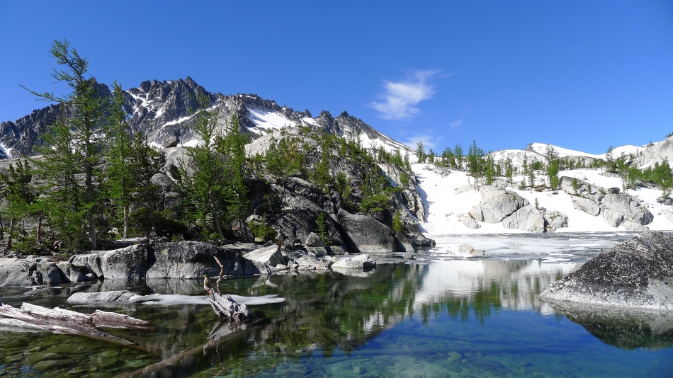
Back down to Leprechaun Lake and looking up at our route to the summit of McClellan Peak.
|
Prusik Peak from Leprechaun Lake.
|
On our way back to Lake Viviane.
|
Prusik Peak from Lake Viviane.
|

Crossing the log bridge at Lake Viviane... heading for our campsite at upper Snow Lake.
|
Last good look of the day at McClellan Peak.
|

A campsite visitor at Snow Lake.
|
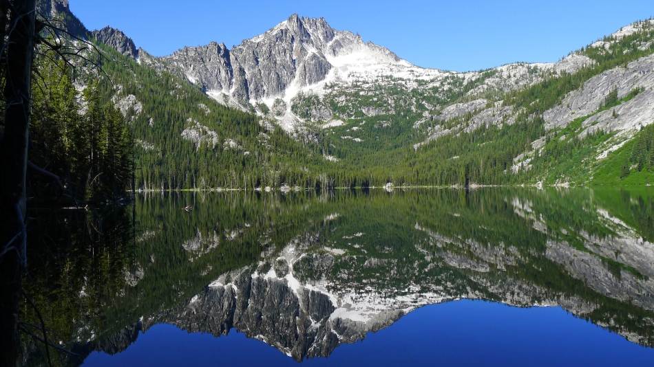
The next morning we got a nice reflection of McClellan Peak as we look back at the west end of upper Snow Lake on our way back to the car.
|
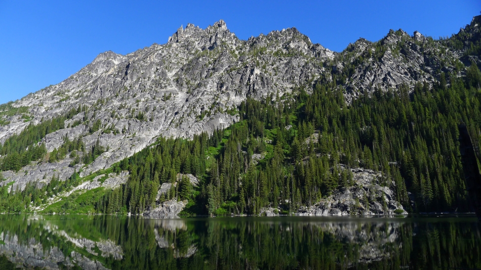
Temple Ridge from the east end of upper Snow Lake.
|

Crossing the dam at the east end of upper Snow Lake.
|
Descending to Lake Nada.
|

Almost back to our car... civiization.
|
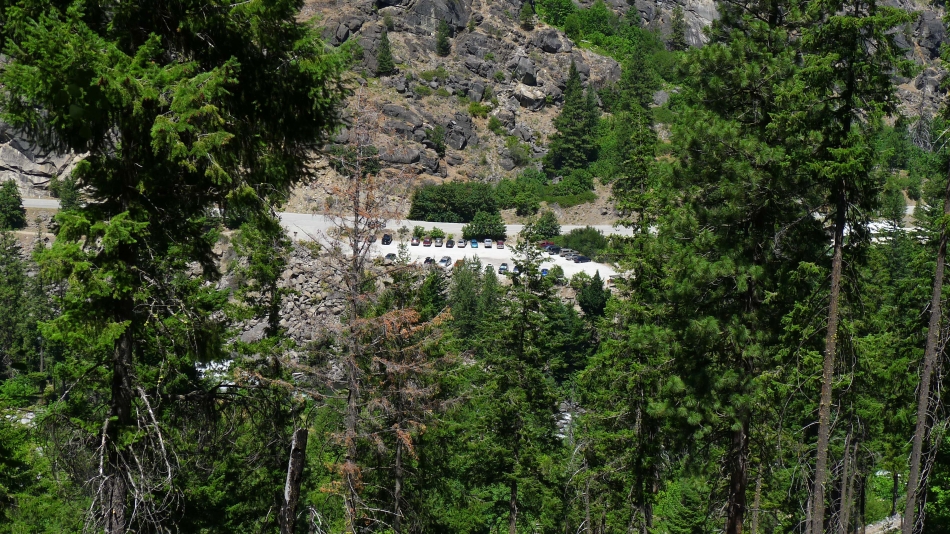
We can see the parking lot.
|
Crossing Icicle Creek and only a few more steps to the car... what an amazing trip... a total of 24 miles and 8000 feet of elevation gain.
|
