Huckleberry Mountain and Hawkins Mountain - 6.16.2015
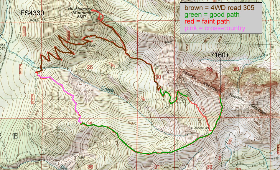
A photo of our GPS track of our trip to Huckleberry Mountain and Hawkins Mountain... a loop trip that was 10.4 miles... gaining 4609 feet of elevation.
|
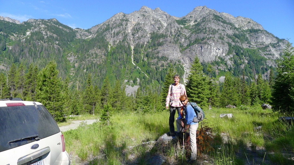
Just before the Salmon La Sac road crosses the Cle Elum River, turn right on FS 4330 and drive it for 5.1 miles... then turn right on Road 138 and drive ~.4 miles and park (~3300'). Snowdog and BarbE climb 'Stump Peak' where we parked... with Goat Mountain behind them.
|
We have crossed Camp Creek and gaining elevation on 4WD-305 road.
|
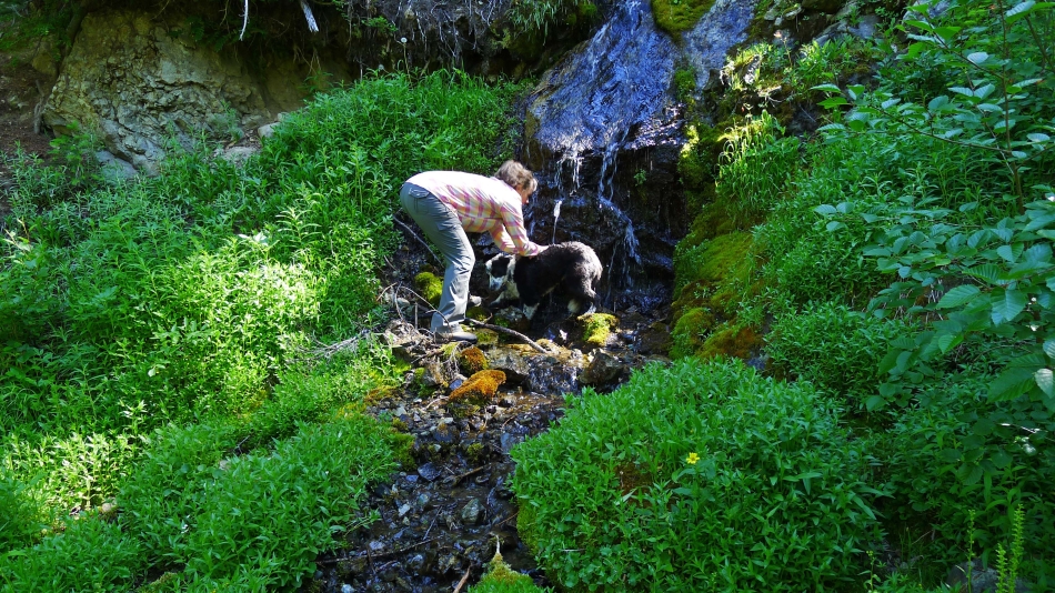
Snowdog gives Izzy a shower on this very warm day.
|
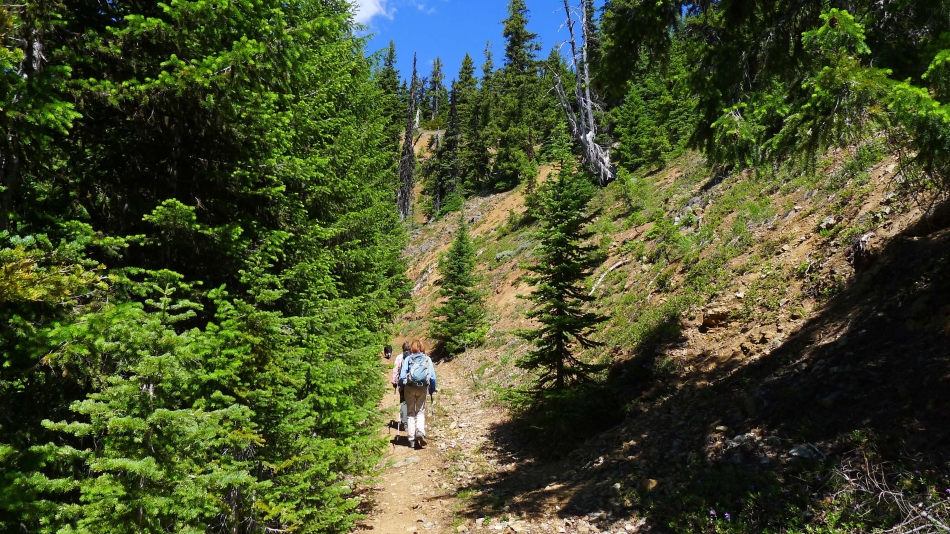
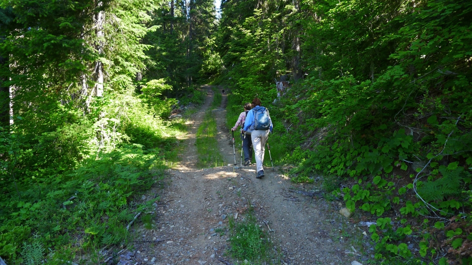
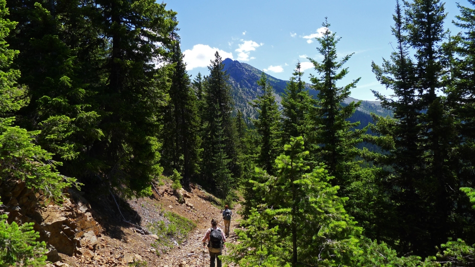
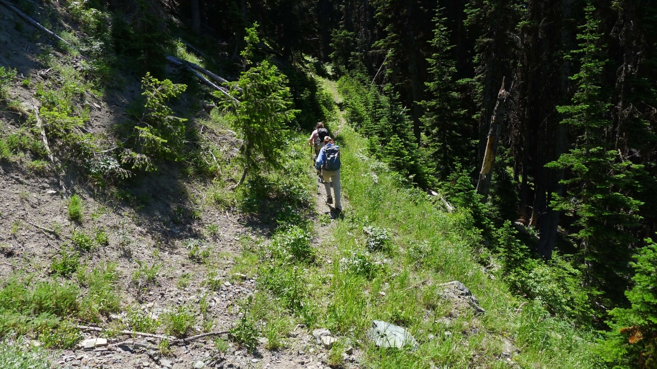
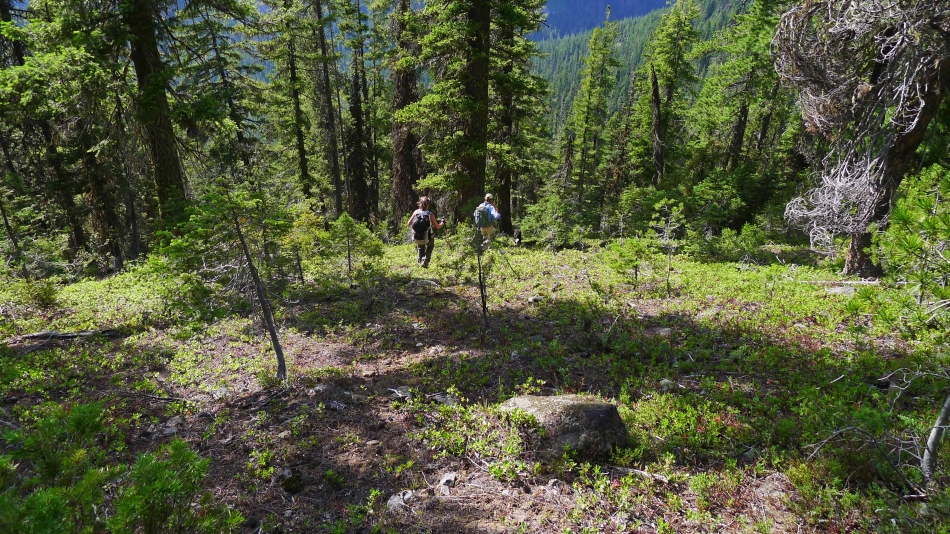
Still hiking on 4WD-305 road... heading for Huckleberry Mountain.
|
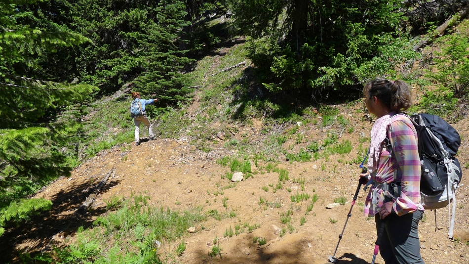
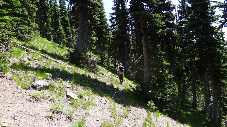
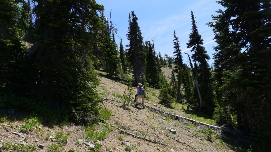
We have reached the end of 4WD-305 road... and BarbE points to a path that will take us toward the summit of Huckleberry Mountain.
|
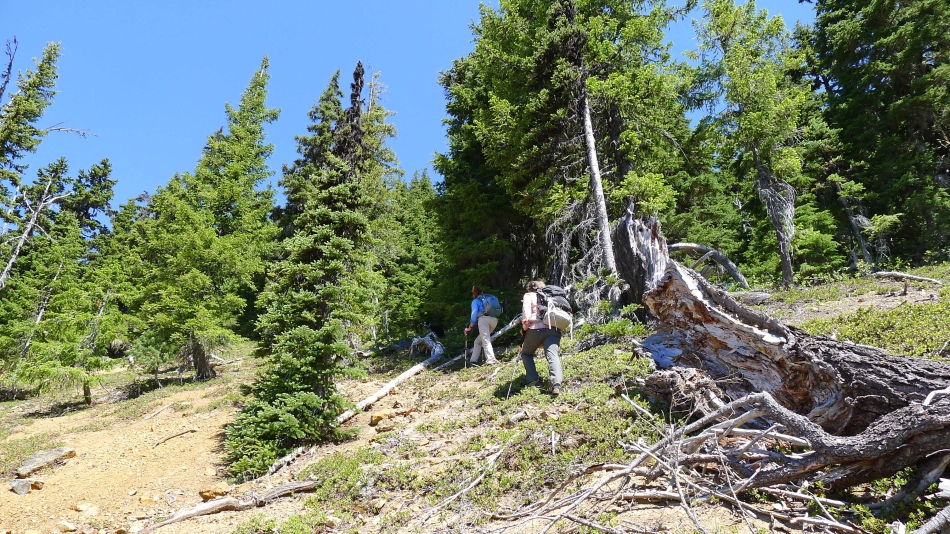
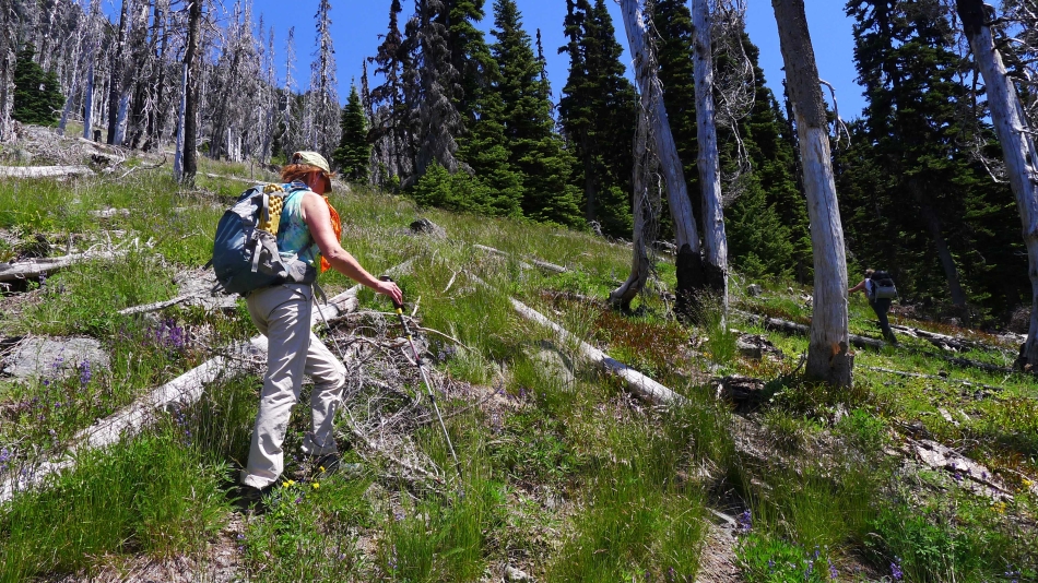
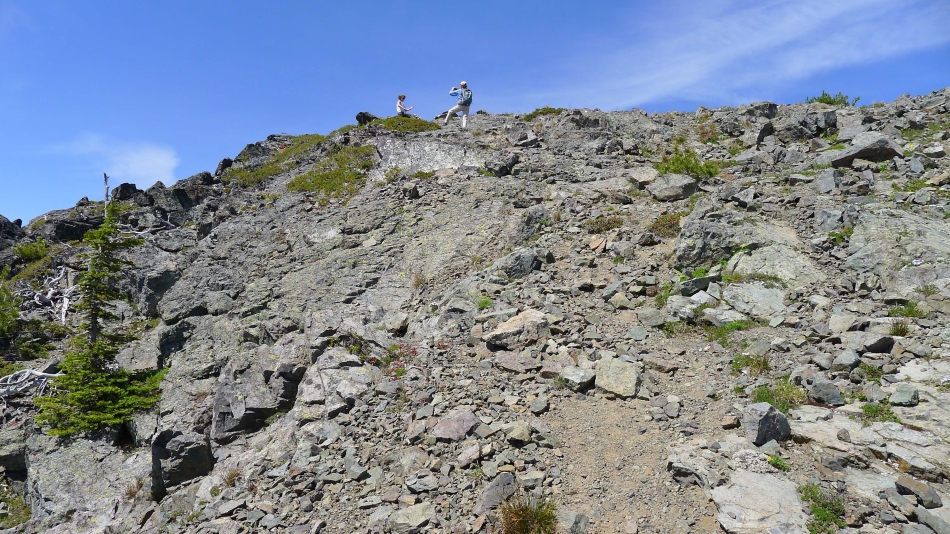
Following a faint path toward the summit of Huckleberry Mountain.
|
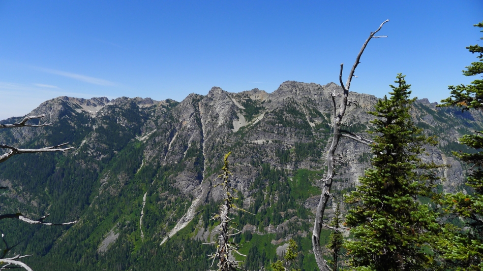
Davis Peak and Goat Mountain from the summit (5667') of Huckleberry Mountain.
|
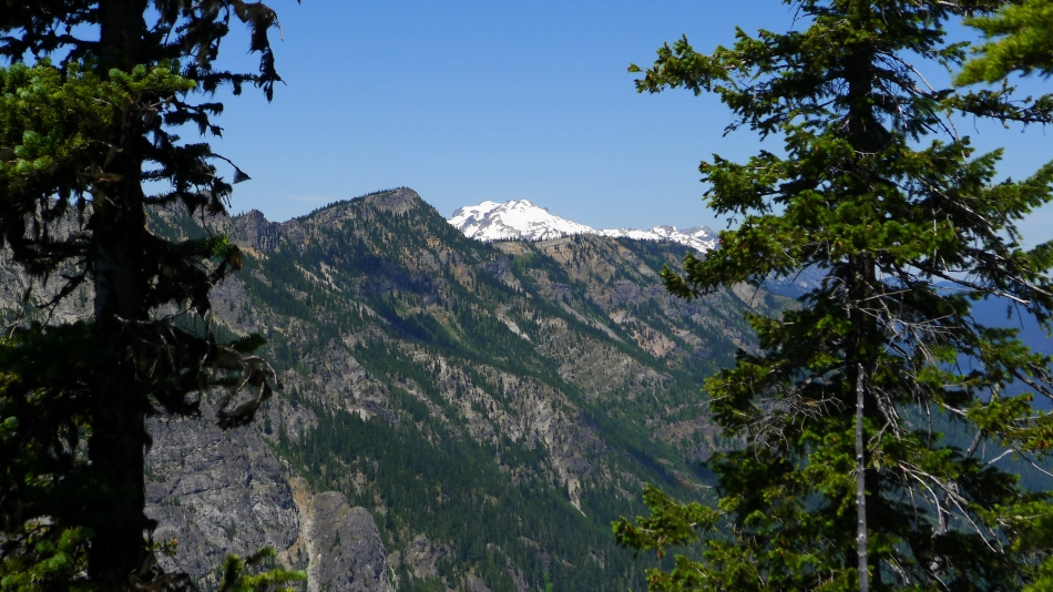
Mt. Daniel from the summit of Huckleberry Mountain.
|
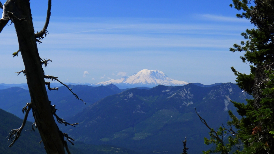
Mt. Rainier from Huckleberry Mountain.
|
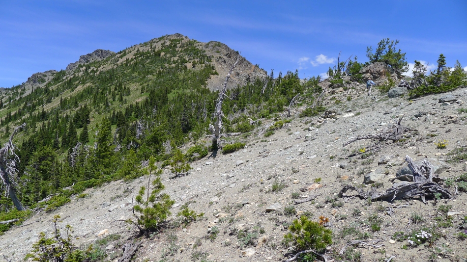
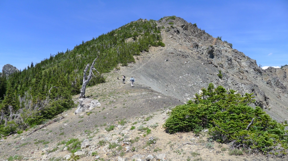
Heading back down from the Huckleberry summit... looking at the NW ridge of Hawkins Mountain... we will work our way over to Hawkins gray SW ridge on the right.
|
Still on 4WD-305 road... in the large meadow below Point 6237... with the NW ridge of Hawkins above.
|
4WD-305 road has ended... but a nice path continues toward the SW ridge of Hawkins Mountain.
|
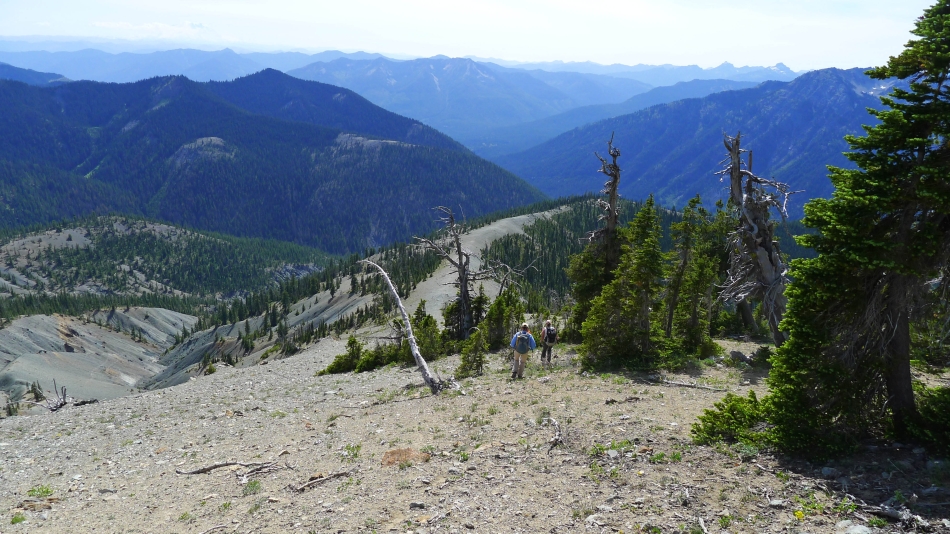
We lost the path near 6300 feet... but our GPS will guide us over to Hawkins SW ridge.
|
Looking back on Davis Peak and Goat Mountain as we traverse toward the SW ridge of Hawkins Mountain.
|
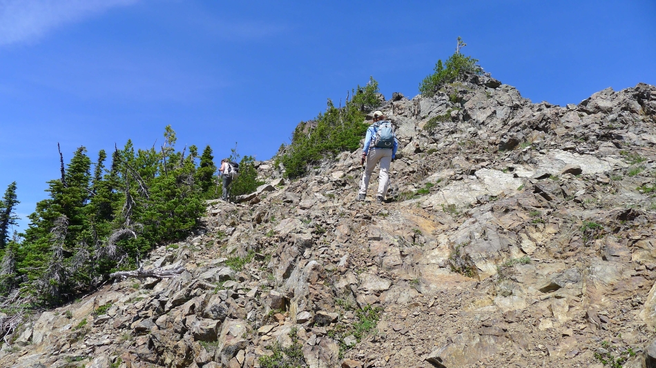
Nearing the SW ridge of Hawkins Mountain.
|
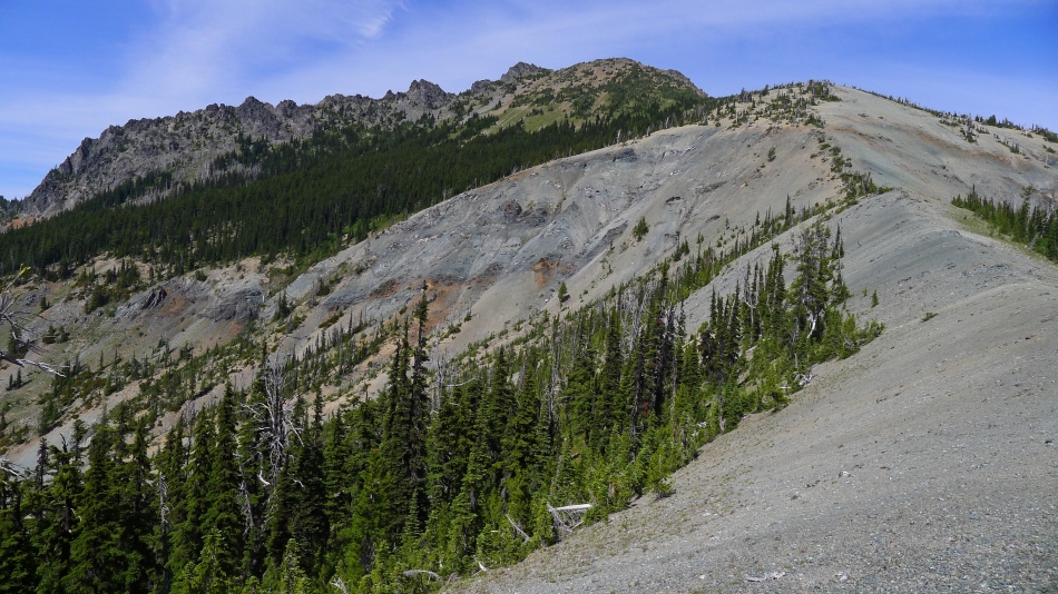
We can see the SW ridge of Hawkins Mountain... and instead of continuing to side-hill, we will take a more direct line up to the ridge.
|
Nearing the SW ridge of Hawkins Mountain.
|
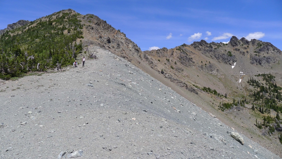
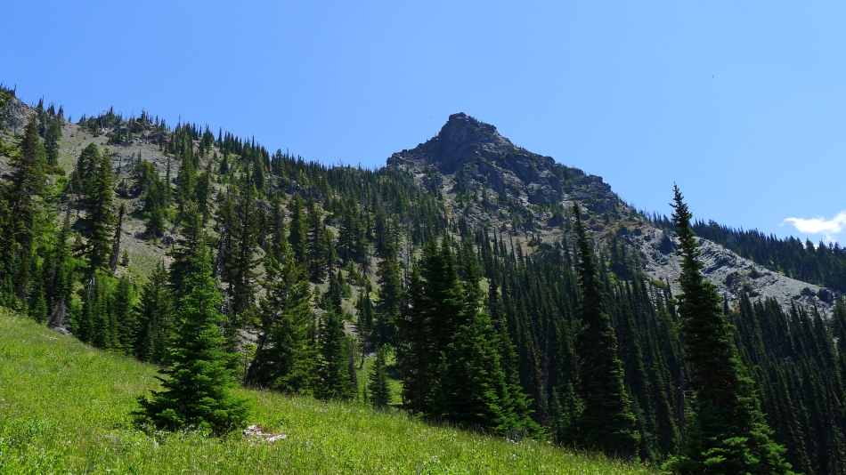
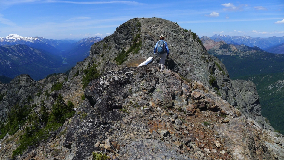
On the SW ridge of Hawkins Mountain... the summit is on the extreme left... with Hawkins Thimble the large pyramid on the right.
|
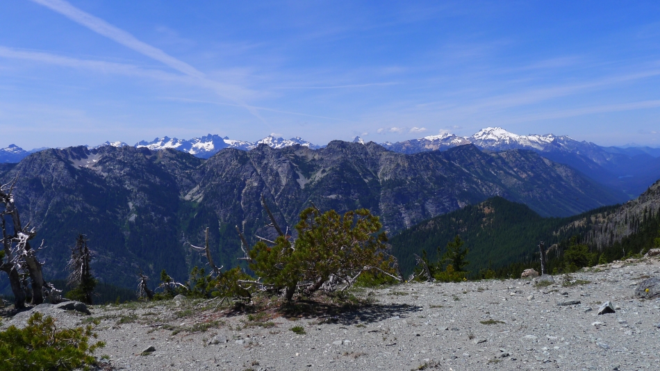
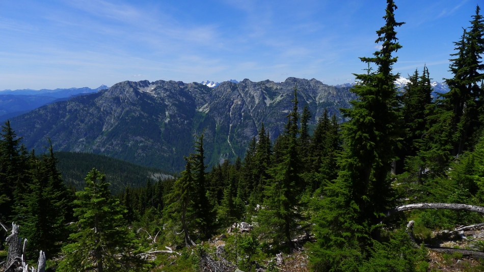
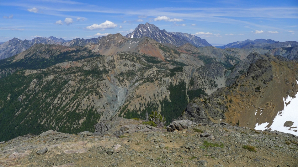
From Hawkins SW ridge I am looking west across Davis Peak and Goat Mountain to Lemah Mountain, Chimney Rock, Summit Chief, Bears Breast, Hinman and Daniel... and a few others.
|
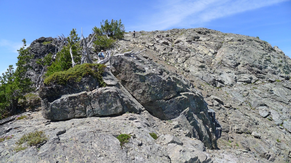
Izzy, Snowdog and BarbE head for the false summit of Hawkins Mountain.
|
Underneath the false summit.
|
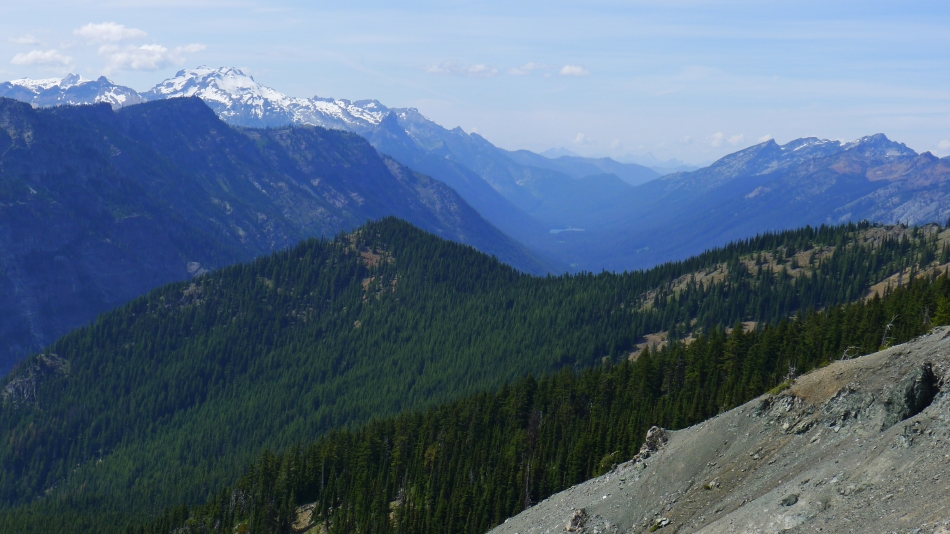
BarbE is beyond the false summit and heading for the true summit of Hawkins Mountain... looking up valley to Mt. Daniel and Hyas Lake on the left... with the Chiwaukum Mountains on the horizon on the right.
|
Nearing the Hawkins summit.
|
On the Hawkins summit (7160+).
|
Looking across Fortune Peak and Ingalls Peak to the Stuart Range... with Hi-Jack, Eightmile Mountain and Cashmere Mountain on the far left... and Three Brothers and Navaho Peak on the right.
|
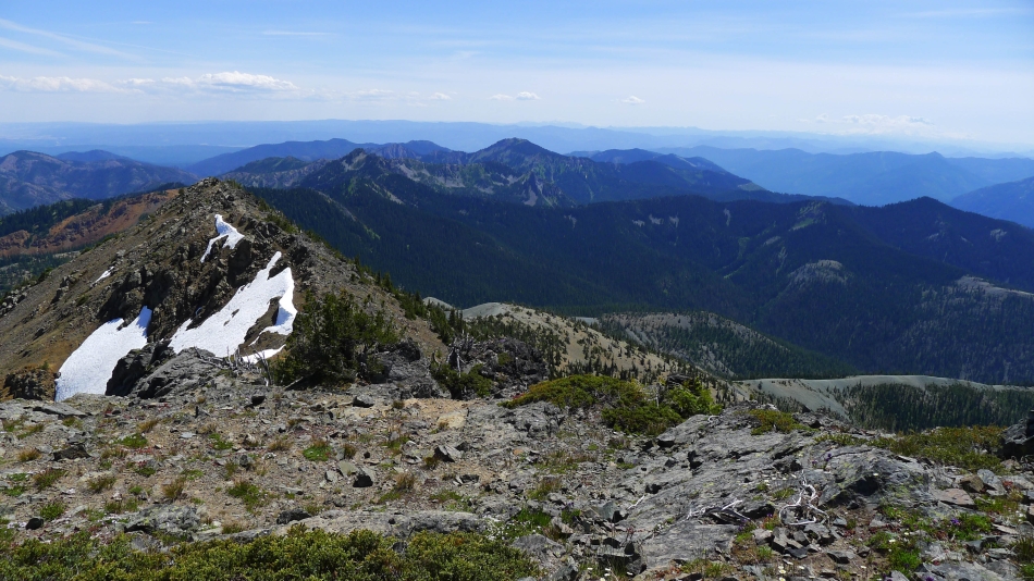
Looking south from the Hawkins summit... Jolly Mountain is in the center of the photo.
|
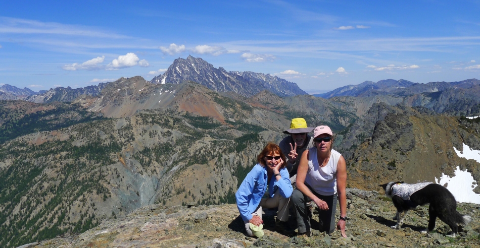
Group shot from the summit... BarbE, ragman, Snowdog and Izzy.
|
Our route back to the car from Hawkins.
|
Heading for the 'gray brick' road.
|
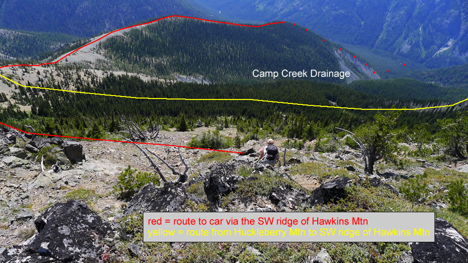
On the SW ridge of Hawkins Mountain... looking across the Camp Creek drainage to the treed summit of Huckleberry Mountain.
|
Looking back at Hawkins Mountain from the SW ridge.
|
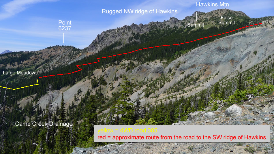
Our approximate route from Huckleberry Mountain to the SW ridge of Hawkins Mountain.
|
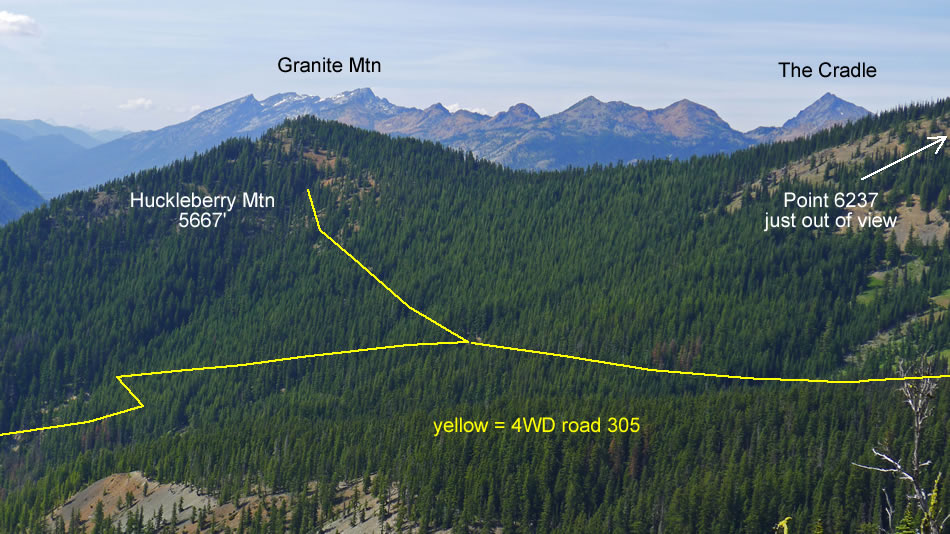
Our approximate route to Huckleberry Mountain using 4WD-305 road.
|
At ~4900 feet we lost the path and headed cross-country... taking a fairly direct route down to our car.
|
