Kendall Peak - 8.13.2015
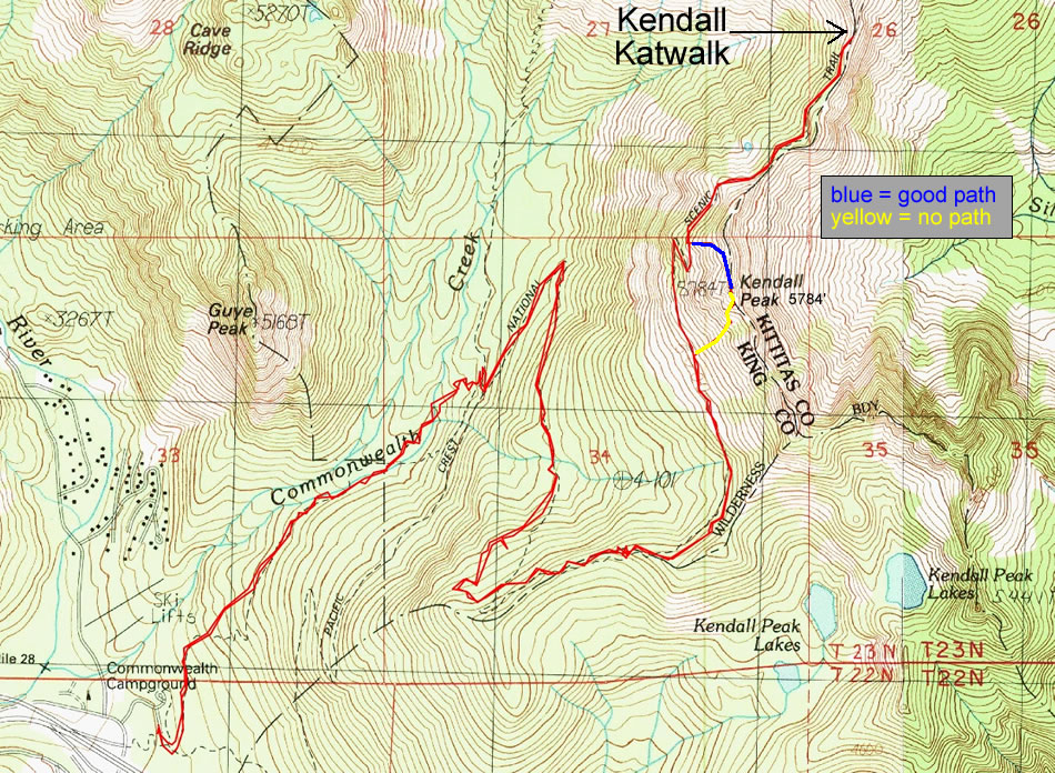
A photo of the GPS track for our scramble of Kendall Peak and hike to the Kendall Katwalk... 10.9 miles roundtrip, gaining 3277 feet of elevation.
|
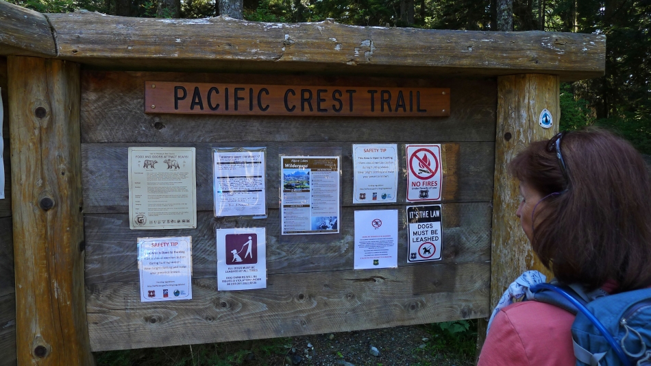
BarbE checks out all of the info at the PCT-North trailhead at Snoqualmie Pass.
|
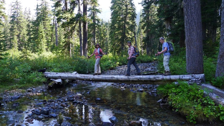
We only stayed on the PCT for a few steps... taking the unsigned abandoned trail that took us into Commonwealth Basin... where we crossed this bridge and turned right toward Red Mountain.
|

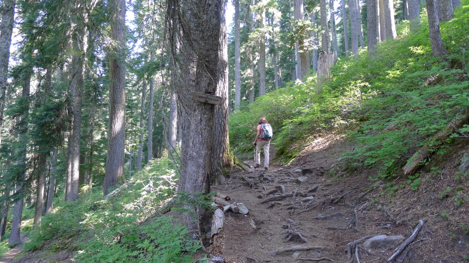
Three possibilities here... we have come up from Commonwealth Basin and will take the short connector trail up to the PCT.
|
On the PCT now... we saved more than a mile of hiking by using the shortcut via Commonwealth Basin.
|
Gaining elevation on the PCT... with Guye Peak in the foreground... Denny Mountain on the left... and Snoqualmie Mountain on the far right.
|
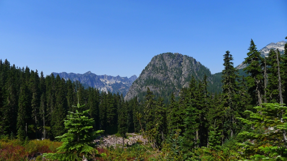
Looking at our target from the PCT.
|
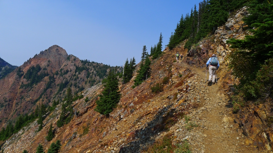
On the PCT underneath Kendall Peak... with Snoqualmie Mountain in the distance.
|
I have left the PCT and am heading for the south ridge of the Kendall summit block... Chair Peak and Mt. Roosevelt on the far left... with Snoqualmie Mountain in the foreground.
|
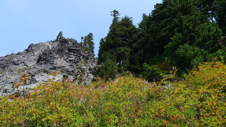
Very steep here... I will go up through the trees on the right.
|
Through the band of trees now... I will head for the notch on the far left and see where it leads.
|
I took this photo from the notch in the previous photo... guess I had better head up now... The Tooth, Bryant Peak, Chair Peak and Mt. Roosevelt in the distance on the left... with part of Snoqualmie Mountain in the center of the photo.
|
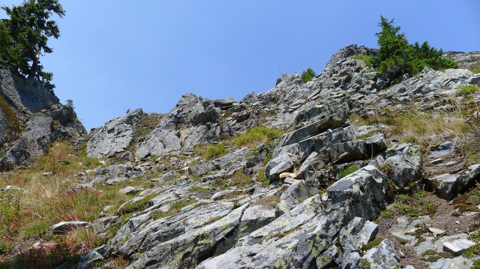
Hiker's choice here... I will stay near the right side.
|
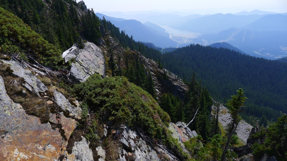
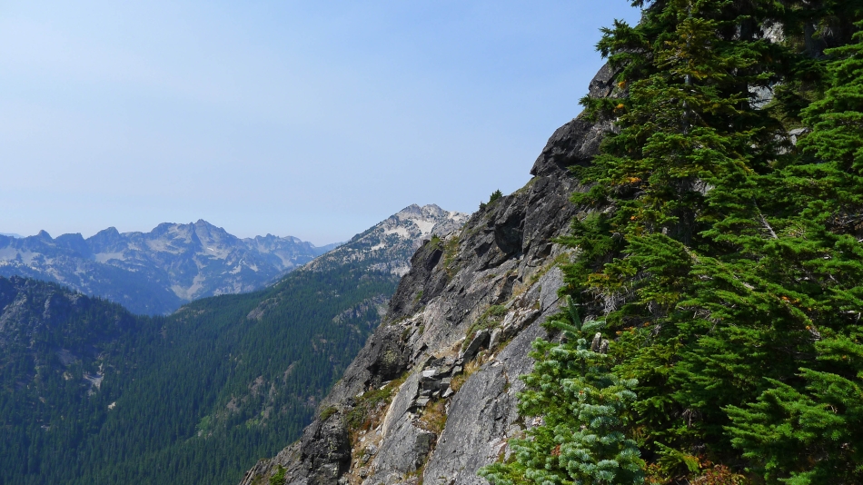
On Steep terrain... looking south to the haze over Snoqualmie Pass and Keechelus Lake.
|
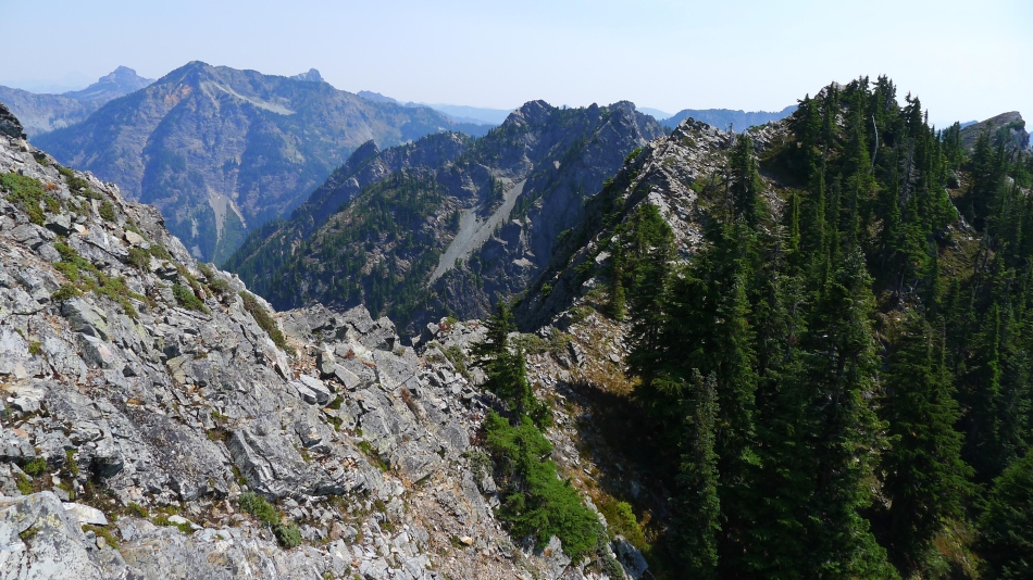
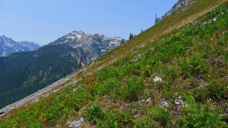
Alta Mountain on the left... with Three Queens to the left of Alta... and the top of Hibox behind Alta.
|
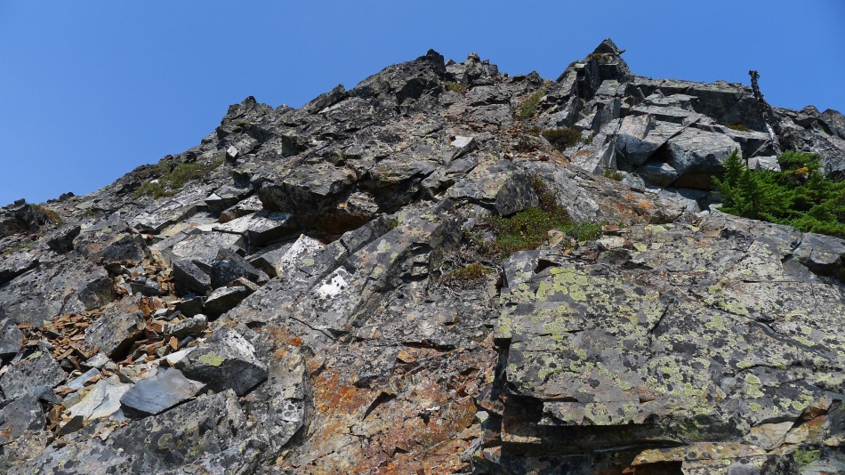
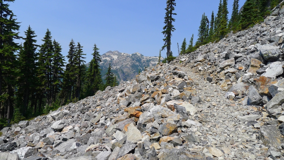
Continuing up on steep terrain... Class 2/3.
|
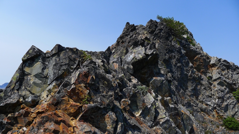
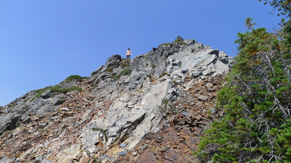
A person can make the south ridge of Kendall Peak as sporty as they want.
|

Did I mention that a person can make the south ridge of Kendall Peak as sporty as they want?
|
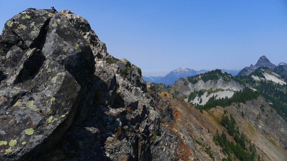
Snowdog has already summited from the north route... and come over to see if I am still alive.
|
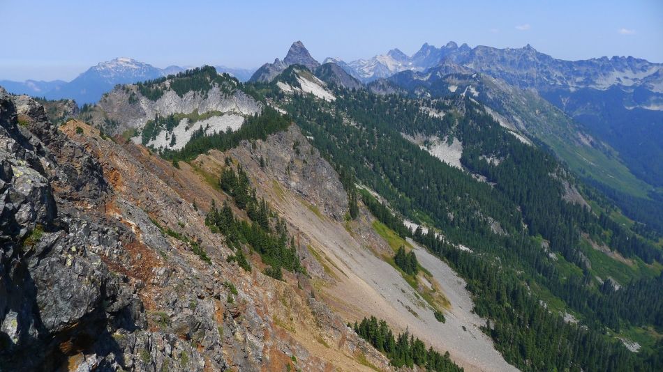
Big Snow Mountain in the distance on the far left... Mt. Thomson is the pyramid in the foreground... Burnt Boot, Overcoat, Chimney Rock, Lemah, Chikamin and Four Brothers on the horizon to the right of Thomson.
|
Izzy waits for me on the Kendall Peak summit... Big Snow Mountain in the center... with Mt. Thomson on the far right.
|
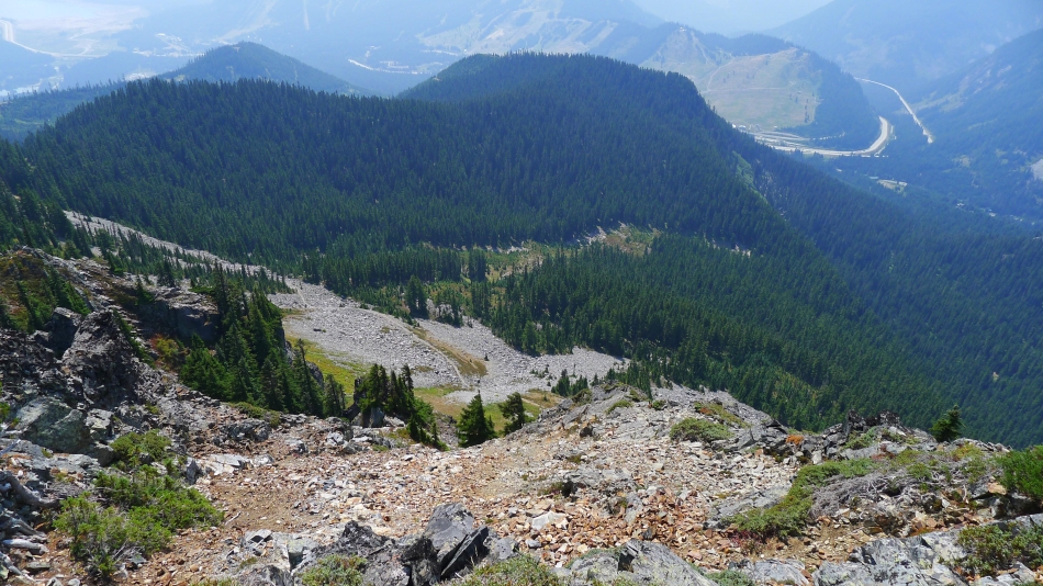
Looking down on the PCT and a very hazy Snoqualmie Pass.
|

Snoqualmie Mountain on the left... Lundin Peak and Red Mountain in the center... with Big Snow Mountain on the far right.
|
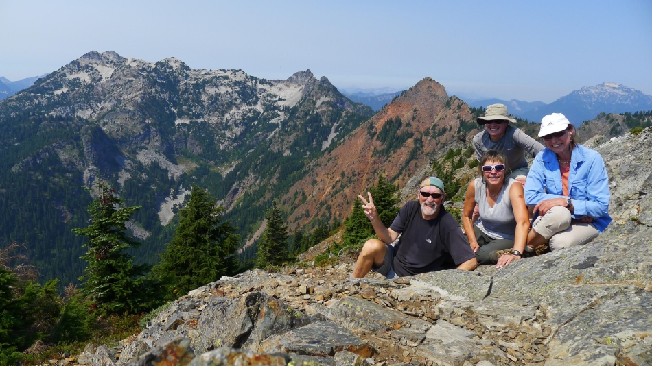
Group shot from the summit of Kendall Peak... ragman, Snowdog, rodman and BarbE.
|
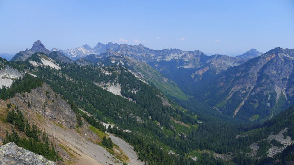
Mt. Thomson on the far left to Alta Mountain on the far right... with Burnt Boot, Overcoat, Chimney Rock, Lemah, Chikamin, Four Brothers and Three Queens in between.
|
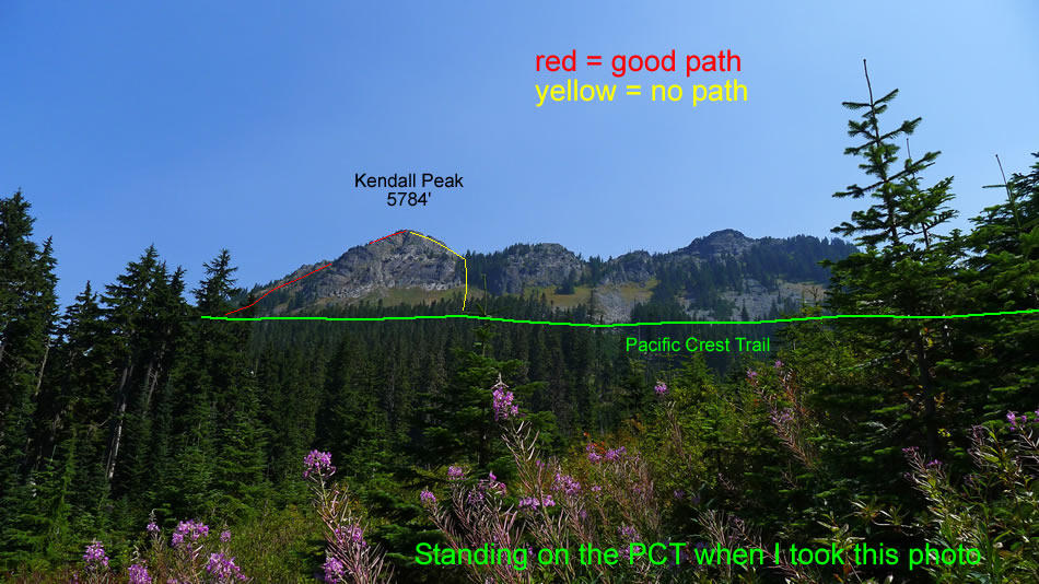
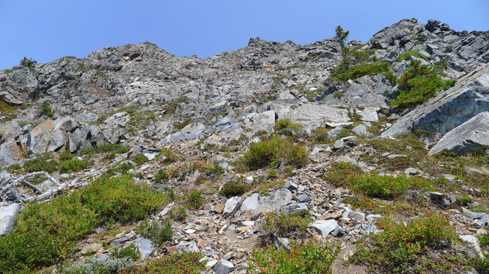
Coming down the north side of the Kendall summit on an excellent path.
|
Back down to the PCT... the large cairn on the right marks the start of a good path that will take you to the Kendall summit via the north ridge.
|
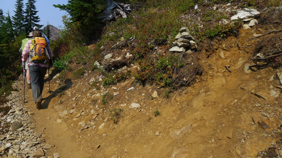
Continuing north on the PCT toward the Kendall Katwalk... Red Mountain on the left.
|
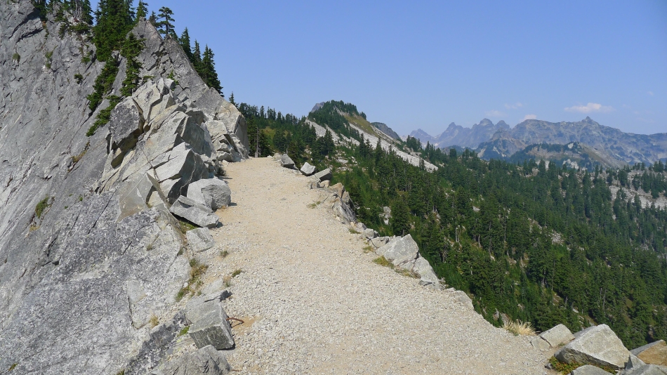
We have reached the Kendall Katwalk... lots and lots of dynamite was used to clear a 150 yard trail on this very steep granite wall.
|
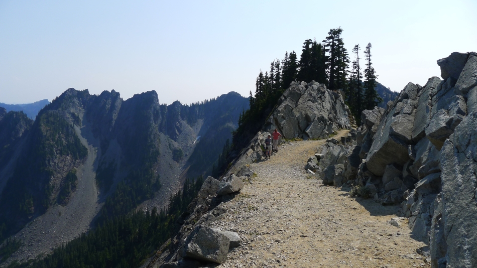
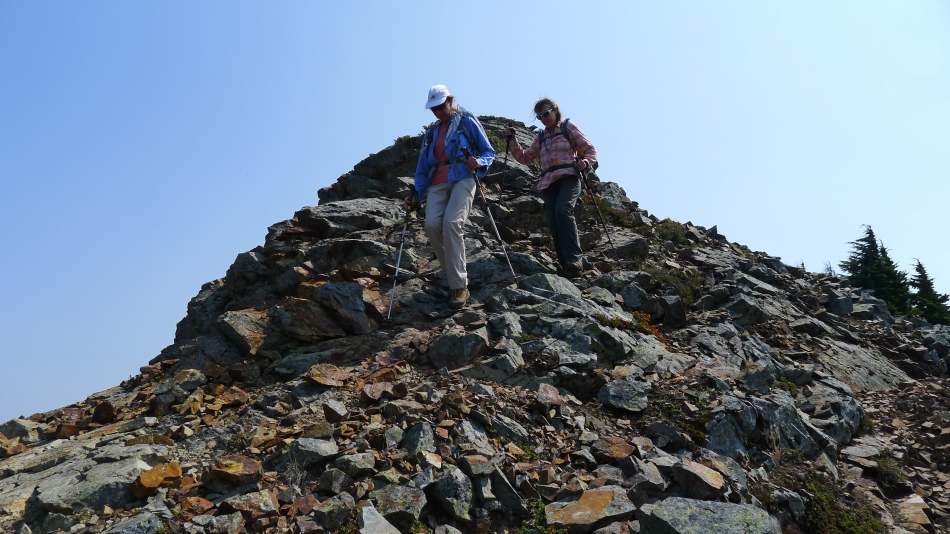
rodman and BarbE at the Kendall Katwalk... the Kendall Peak summit is blocked by the trees behind them... on the left is the eastern terminus of Kendall Peak... We still have a 5 mile hike to get back to our car.
|
