Dege Peak - 9.5.2015
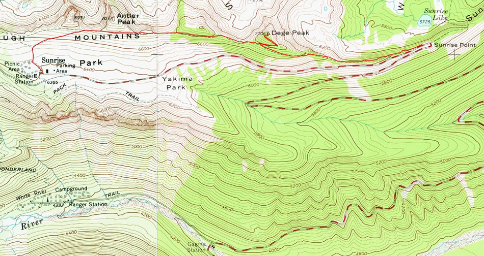
A photo of the GPS track for our trip to Dege Peak... 3.6 miles, gaining 1052 feet of elevation.
|
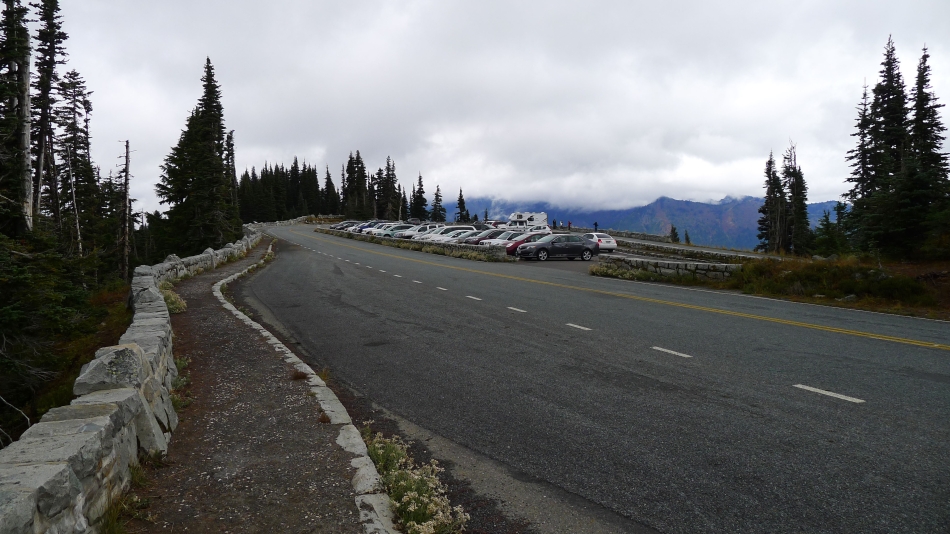
We parked at Sunrise Point (~6160') which is located at a sharp turn in the road... a couple miles before reaching the Sunrise Lodge.
|
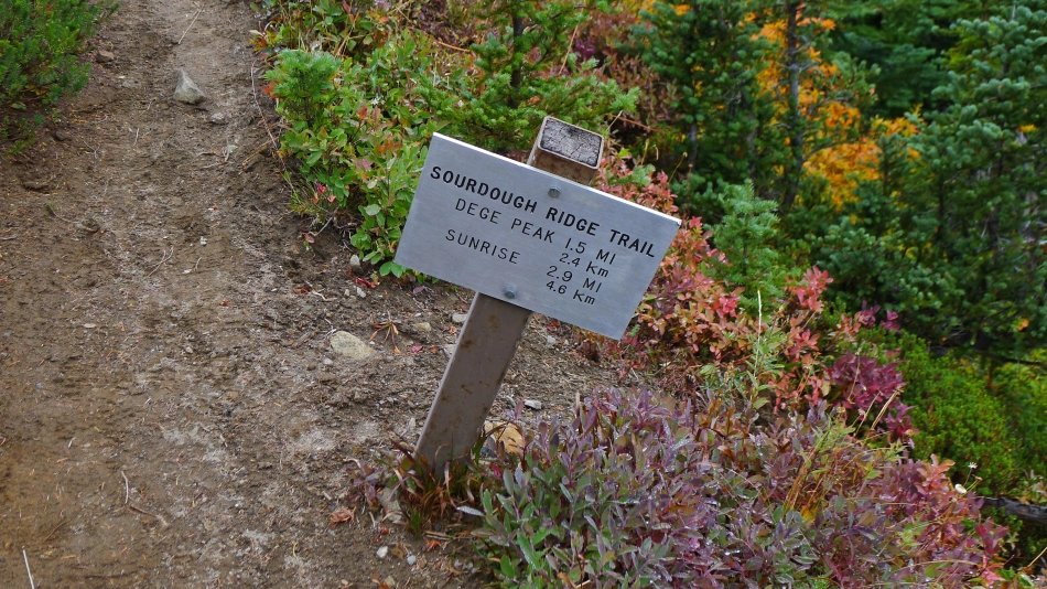
The Sourdough Ridge Trail starts across the road from the Sunrise Point parking area.
|
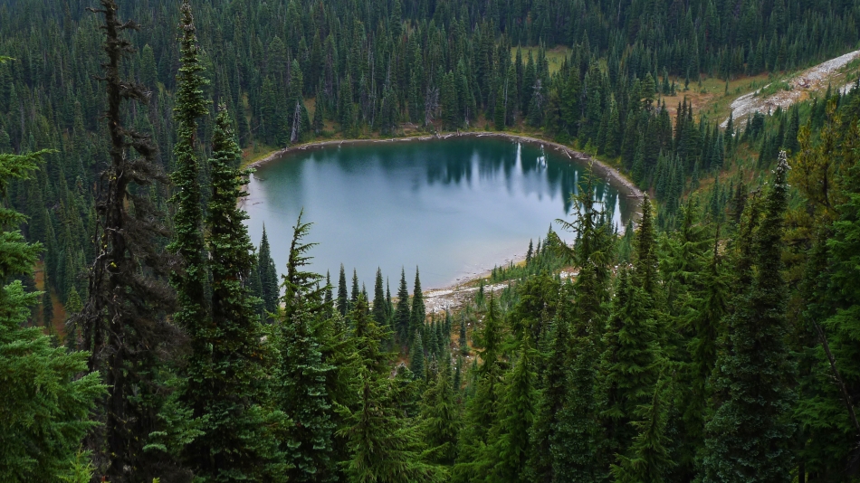
Looking down on Sunrise Lake from the Sourdough Ridge Trail.
|
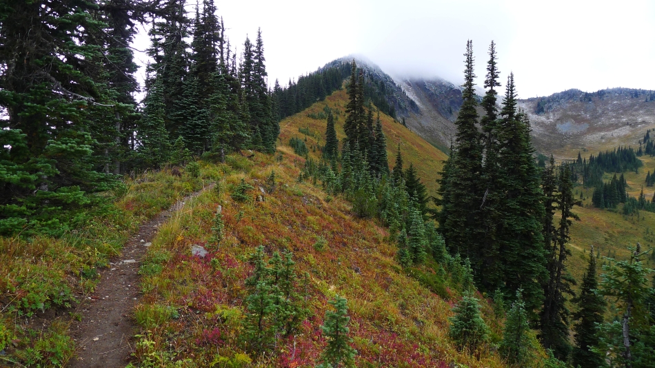
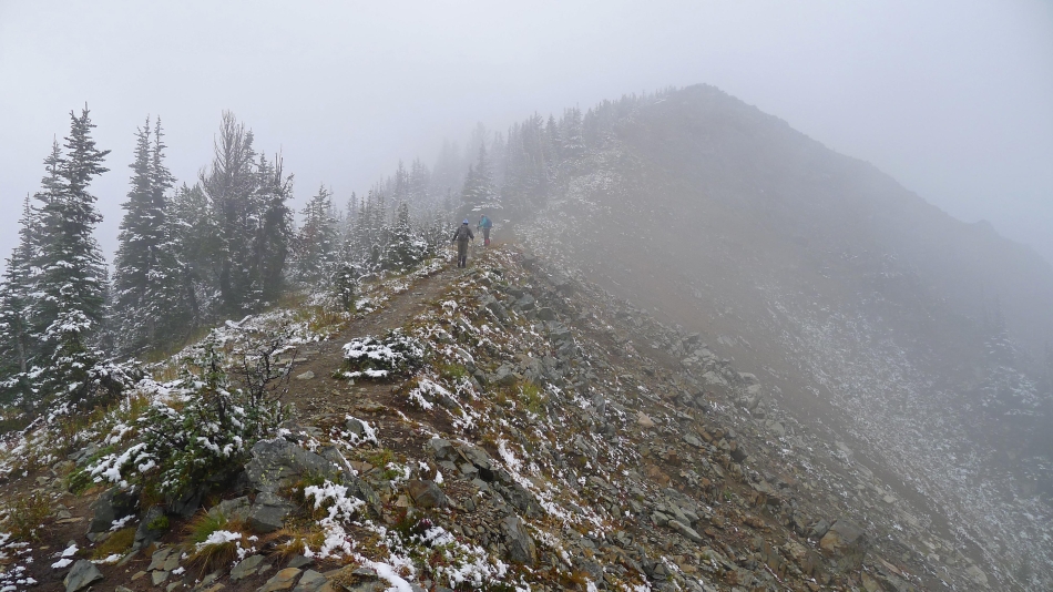
Hiking along the Sourdough Ridge Trail... looks like the top of Dege Peak is in the clouds.
|
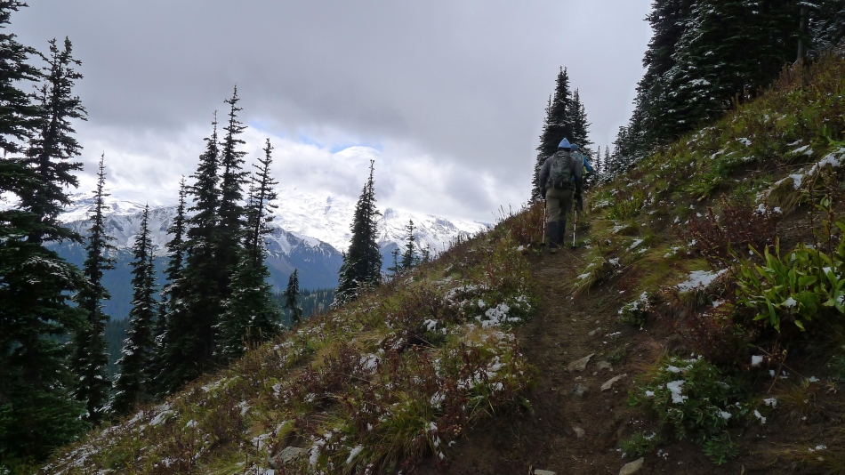
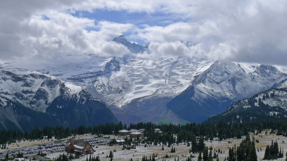
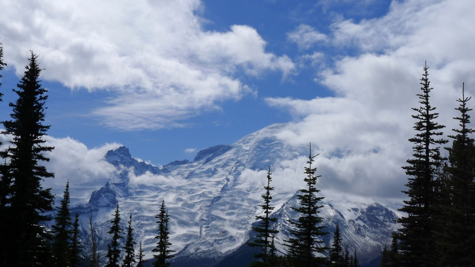
Still on the Sourdough Ridge Trail... with the top of Mt. Rainier peaking through the clouds.
|
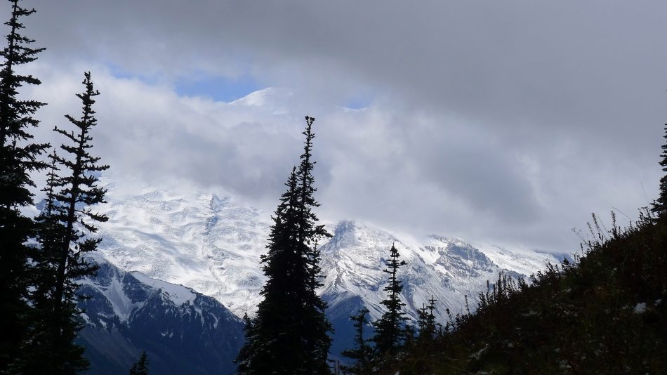
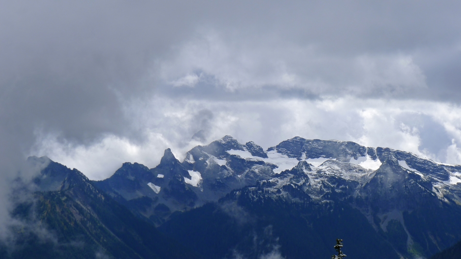
A closer look at the Rainier summit peaking through the clouds.
|
Sunrise is up at the end of the road.
|
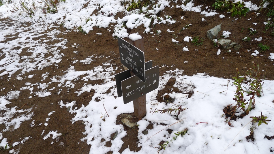
We will leave the Sourdough Ridge Trail and take the .3 mile hike up to the summit of Dege Peak... then come back to this junction... where Gail, Barb and I will continue on to Sunrise while Tom goes back to get the car and then drive it up to Sunrise and pick us up.
|
Looking across the valley to Tamanos Mountain on the far left... with the Cowlitz Chimneys and Banshee Peak in the sunshine.
|
We can barely see the top of Dege Peak.
|
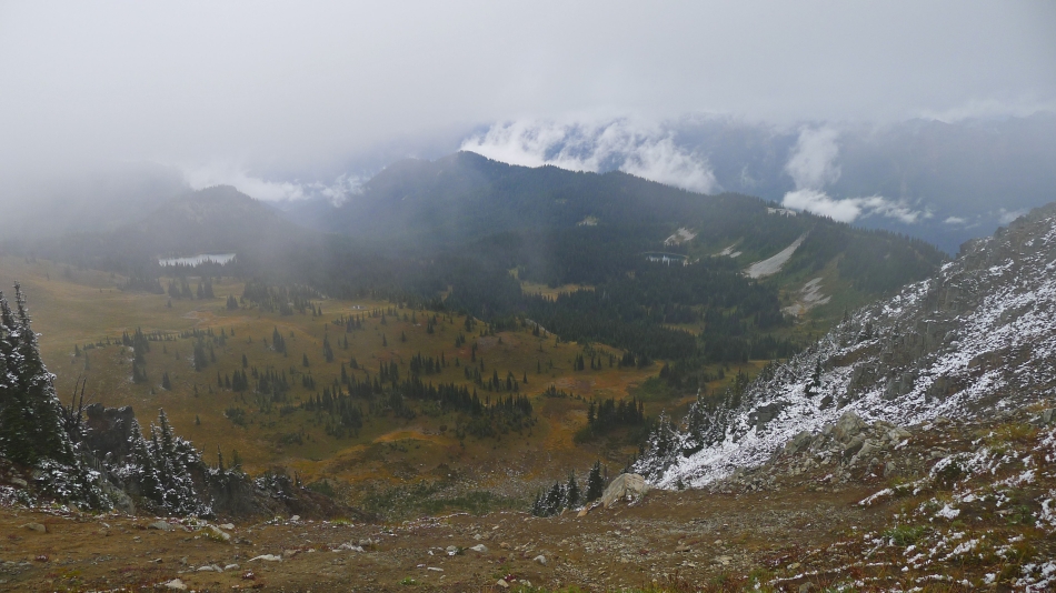
Looking down on Clover Lake (left), Sunrise Lake and the Sunrise Point parking area.
|
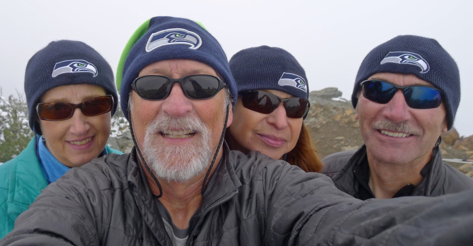
Seahawk fans on the socked-in Dege Peak summit (7006').
|
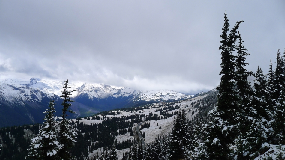
The clouds are parting a bit as we continue along the Sourdough Ridge Trail toward Sunrise.
|
Little Tahoma and Mount Rainier from the Sunrise parking area.
|
