Bedal Peak - 9.10.2015

A photo of the GPS track for our scramble to Bedal Peak... ~7 miles roundtrip, gaining 4731 feet of elevation.
|

There is no official trailhead for Bedal Peak... however, there is a parking area (~2100') at the third switchback on FS Road 4096.
|
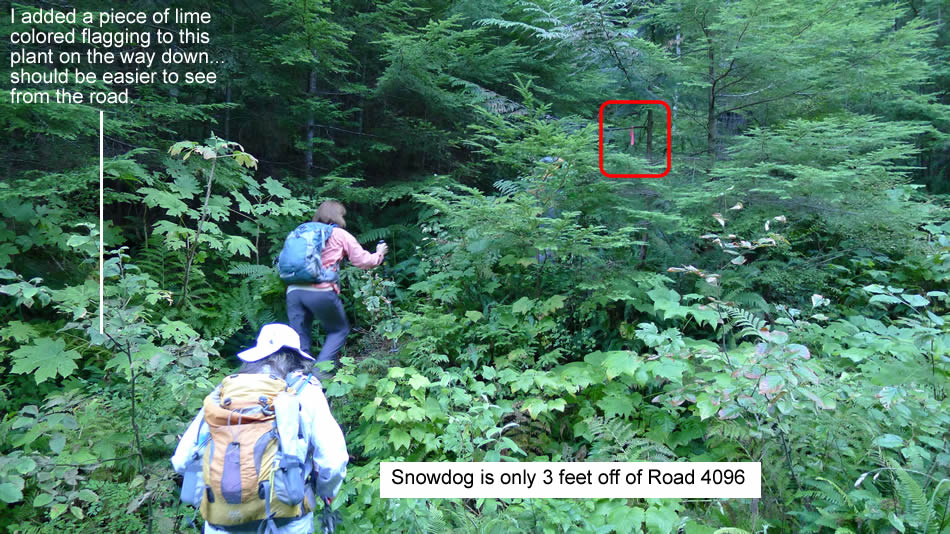
If you aren't paying attention, it is easy to miss the piece of pink tape that shows where the path starts.
|
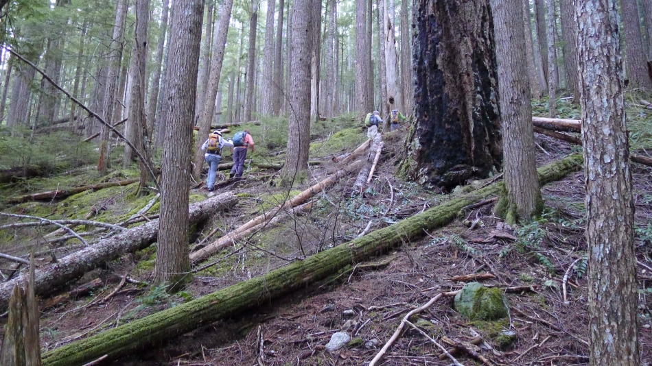
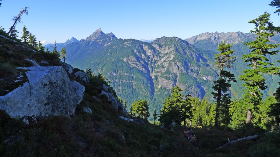
Yes... we are on a reasonable path.
|
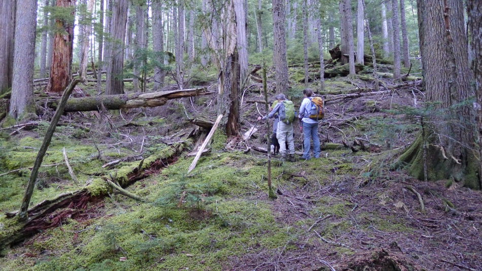
At ~2400 feet we have lost the path... we also lost the path in this area on our return to the car.
|
Ugh... bushwhacking at 2500 feet.
|
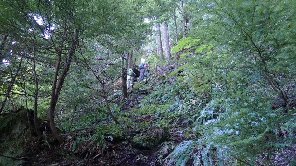
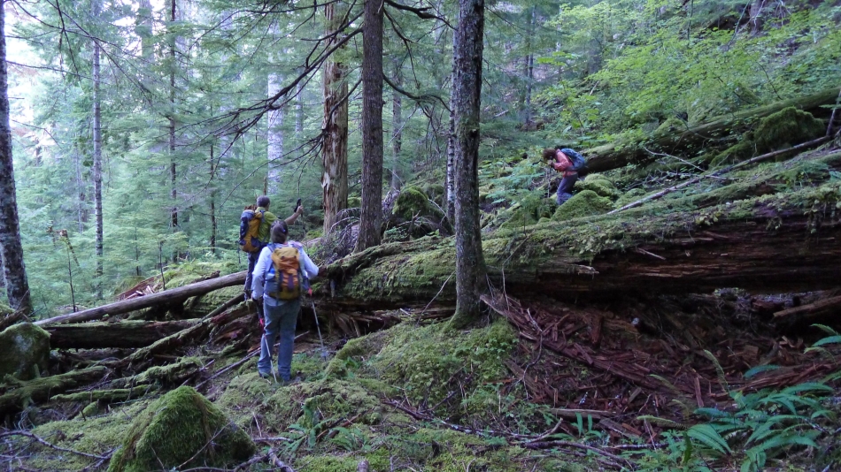
Back on the path at ~2700 feet... yes, there really is a path there.
|
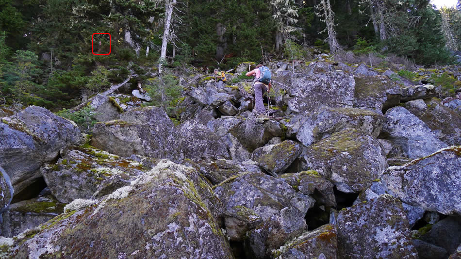
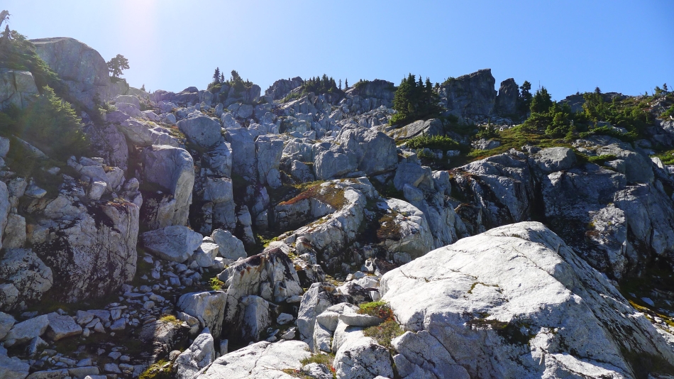
The first of three small boulder fields on the route... look for the pink tape.
|
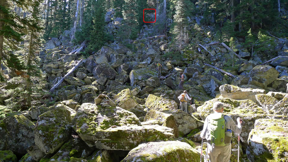
The second of the three small boulder fields on our route.
|
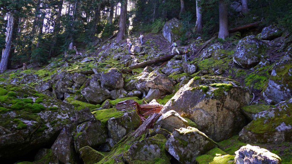
We were able to skirt the third boulder field on the right.
|
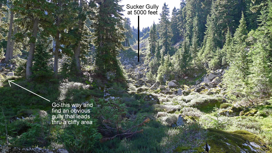
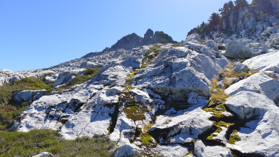
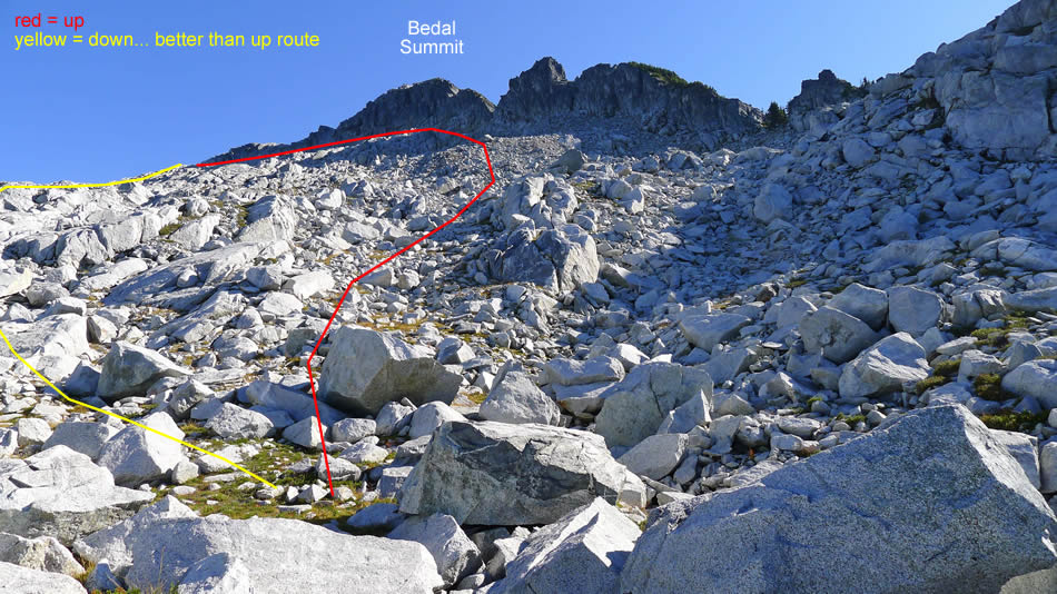
A small meadow at ~4900 feet... the sucker gully looks inviting, but it doesn't work... go left and find a ramp that will get you through the cliffy area.
|
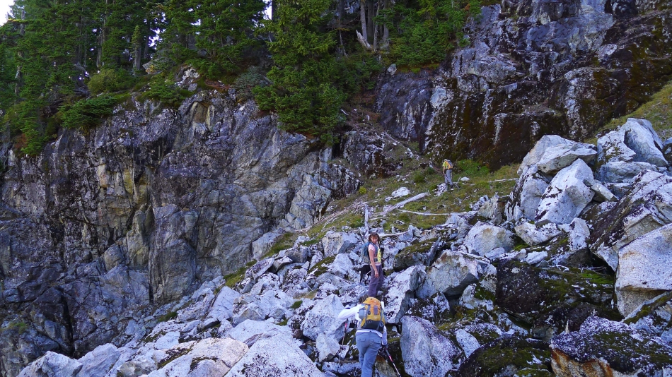
iraman nears the ramp (~5000') that will get us up this cliffy area.
|
BarbE, rodman and Snowdog head up the ramp at 5000 feet... there are three pieces of pink tape on the ramp.
|

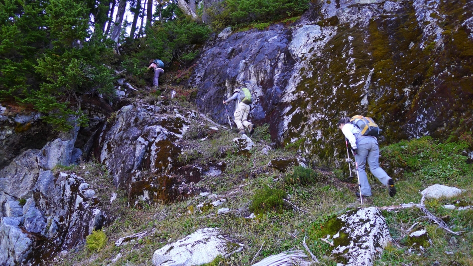
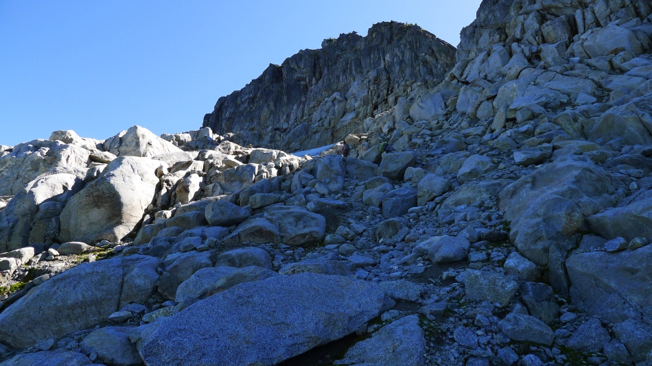
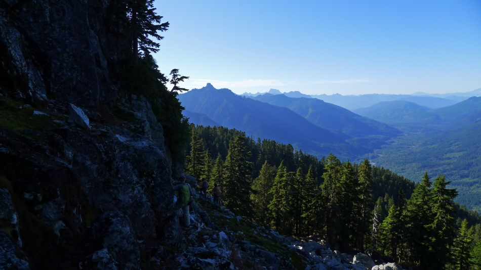
Ascending... continuing underneath the cliffs at ~5100 feet.
|
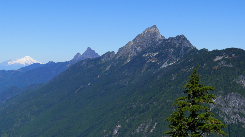
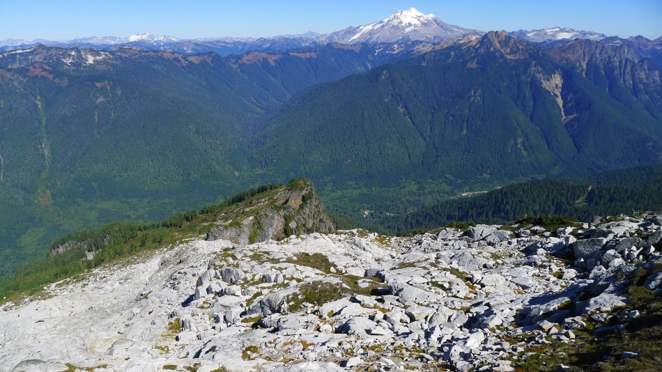
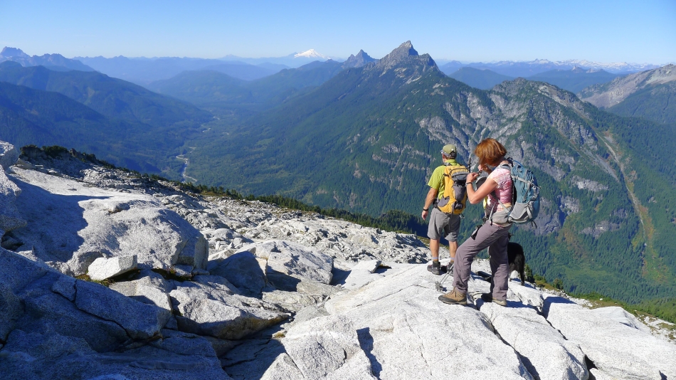
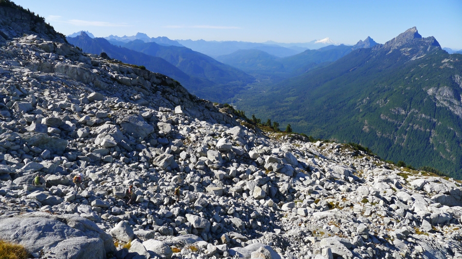
As we ascend, views open to the north of Spring Mountain in the foreground... then Mt. Pugh... and the snow cone is Mt. Baker.
|
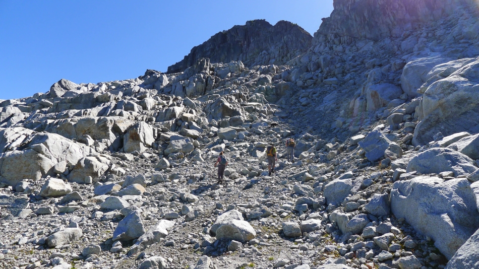
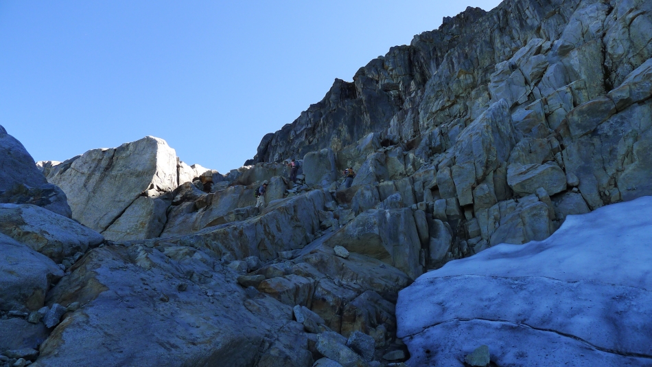
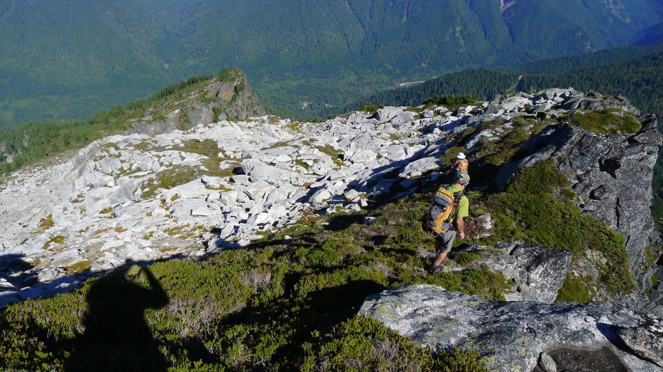
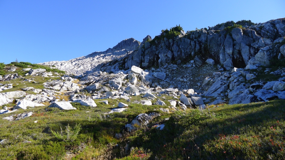
The terrain changes at ~5300 feet... more slabs and boulders.
|

First good look at Glacier Peak as we continue to ascend.
|

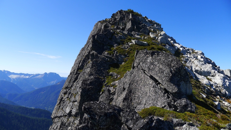
At ~5500 feet we got our first good look at the Bedal Peak summit on the left... still a 1000 feet of elevation to reach the summit.
|

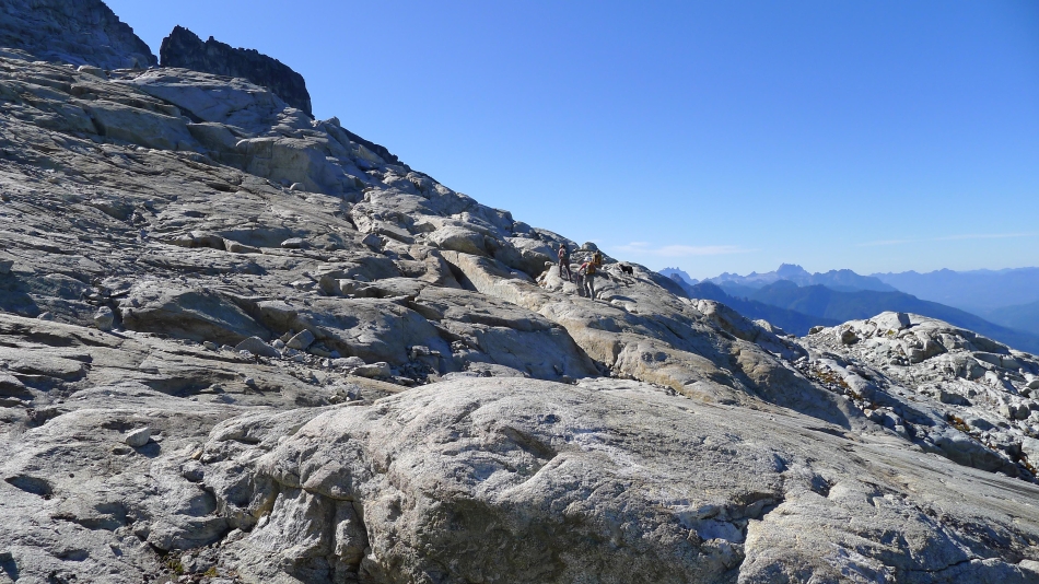
iraman and BarbE work their way across the slabs.
|
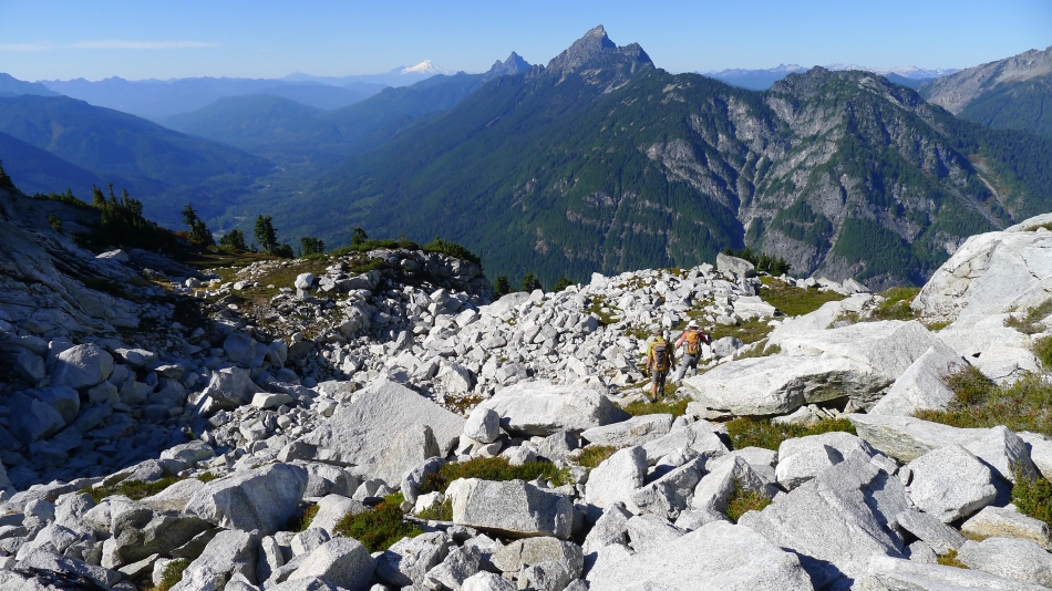
Getting closer... but we are tired.
|

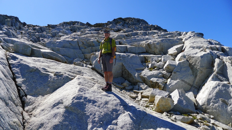
iraman leads the way.
|
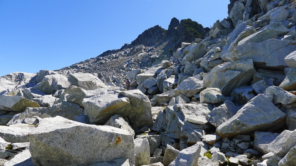
Still ascending... BarbE is barely visible in the sea of boulders.
|
Boulders, boulders and more boulders.
|
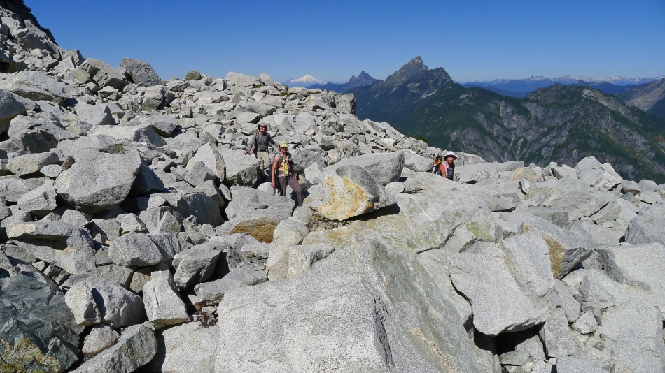
rodman, BarbE and Snowdog weave their way through the boulders... Spring Mountain, Mt. Pugh and Mt. Baker in the distance.
|
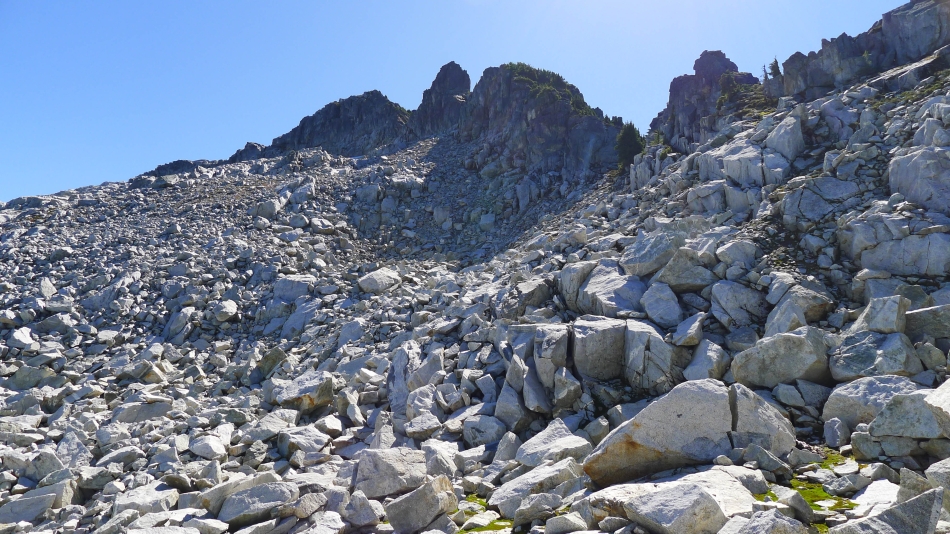
Working through the boulders.
|
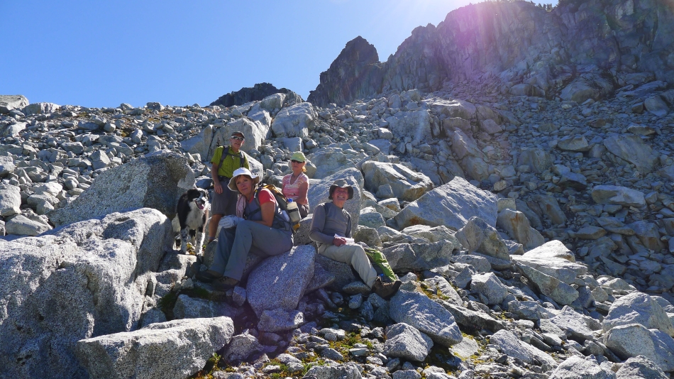
A well deserved break near 5900 feet... summit is on the left.
|
Up and up.
|
Still gaining elevation.
|
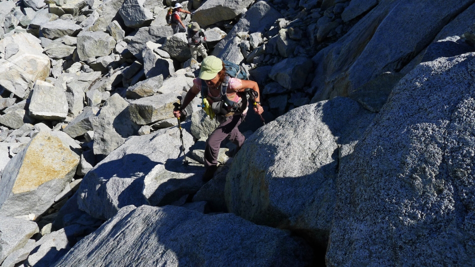
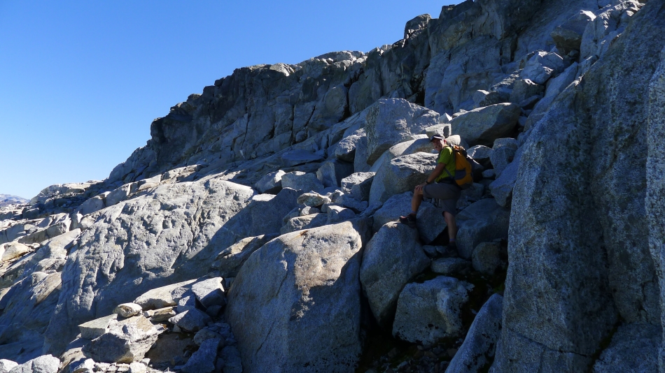
Some Class 2 scrambling.
|
iraman leads the way... we will traverse underneath the cliffs over to the sunny platform on the far left.
|

Nice look at Glacier Peak as we work our way underneath the cliffs on our way over to the NE ridge of Bedal Peak.
|
We have reached the NE ridge (~6300') of Bedal... looks like smooth sailing from here.
|

iraman heads up the NE ridge toward the summit on the right.
|
Will we ever get there?
|
Looking down at our route up the NE ridge... Glacier Peak on the horizon.
|
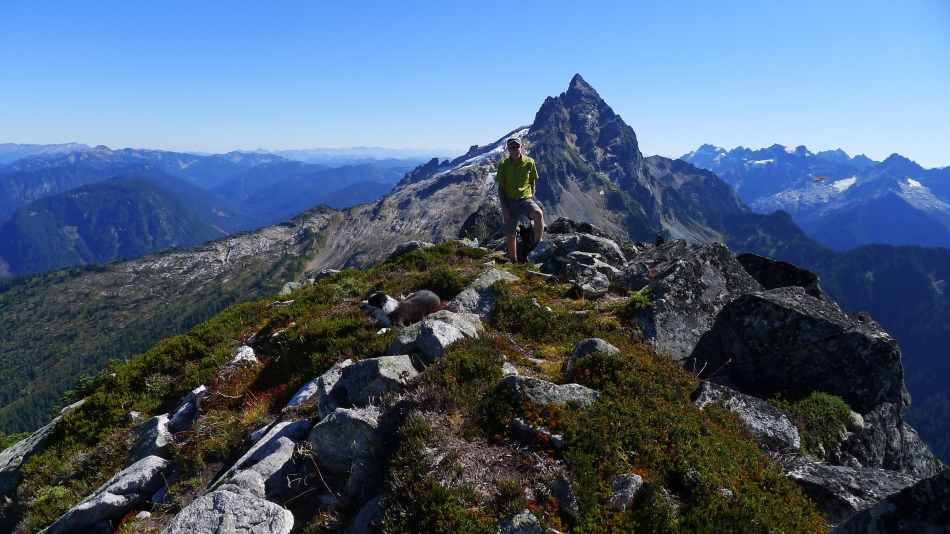
iraman and Izzy on the Bedal Peak summit (6554')... Sloan Peak is behind iraman... the Monte Cristo Peaks on the right.
|
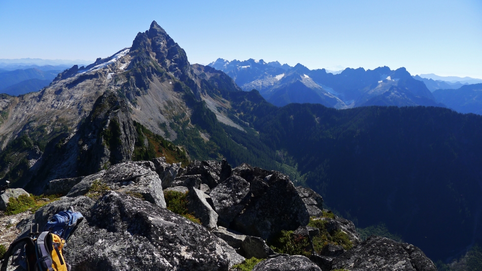
Sloan Peak and the Monte Cristo Peaks.
|

Looking north up the Sauk River drainage... Spring Mountain, Mt. Pugh and Mt. Baker on the right... Mt. Forgotten, Three Fingers and Whitehorse Mountain on the left.
|
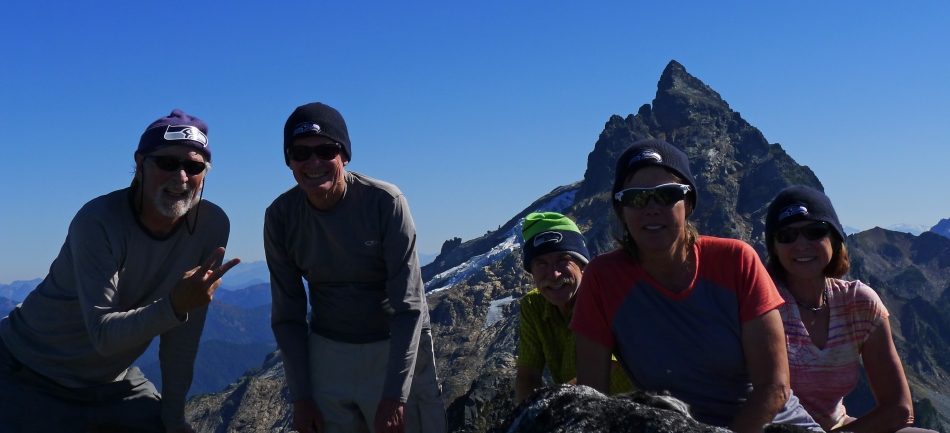
Seahawk fans on the Bedal Peak summit... ragman, rodman, iraman, Snowdog and BarbE... Sloan Peak is behind us.
|
Heading down the NE ridge of Bedal... we will go down to about 6100 feet before we start traversing back to the NW.
|
Heading down on slabs and boulders.
|
Traversing on slabs.
|

Descending.
|

Izzy finds some water.
|
Almost down to the greenery.
|
Looking back as we continue down... knowing what we do at this point, we would have also choosen the yellow route on the ascent.
|
It will be nice to get back on the green.
|
One last look at the summit before going back around the steep cliffs.
|
Heading down around the steep cliffs at ~5200 feet.
|
Underneath the steep cliffs at 5200 feet... still need to lose 3100 feet of elevation to get back to the car... on very steep terrain.
|
