South Ingalls Peak and Fortune Peak - 10.6.2015
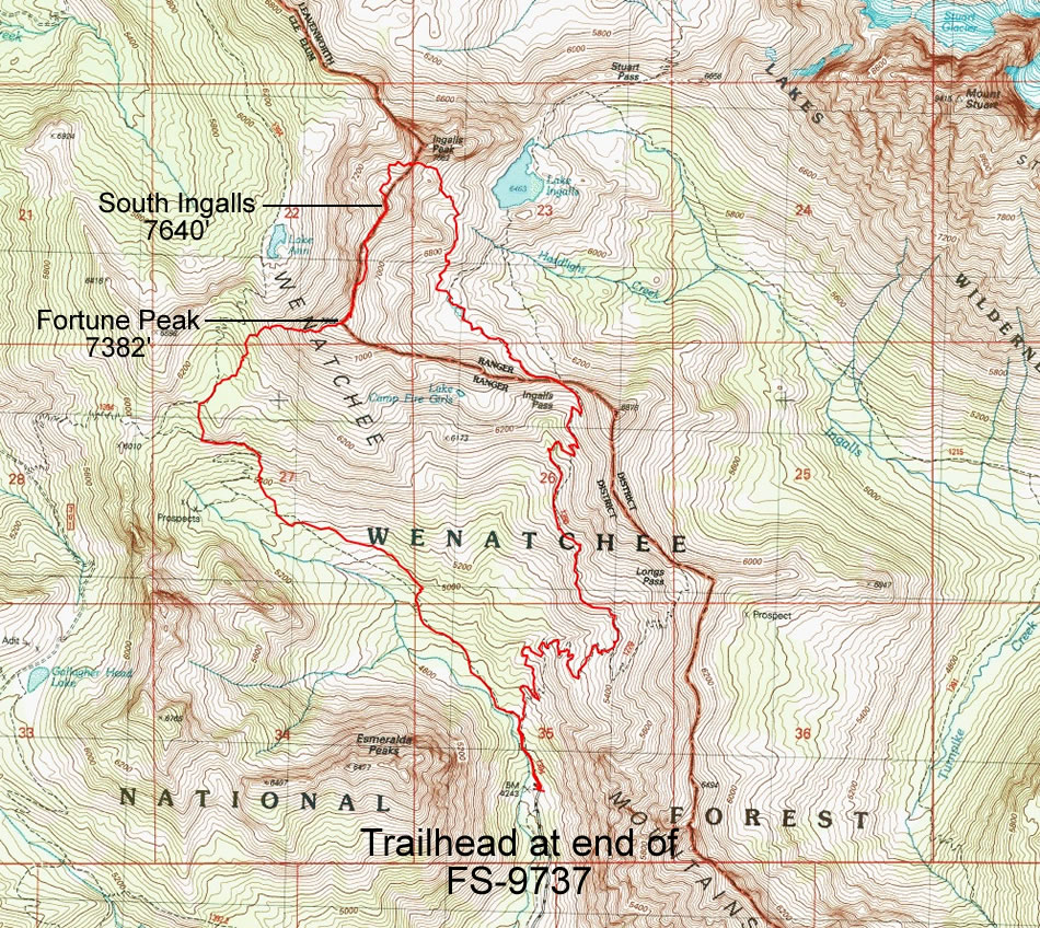
A photo of the GPS track for our trip to South Ingalls Peak and Fortune Peak... a 9 mile loop, gaining 3833 feet of elevation.
|
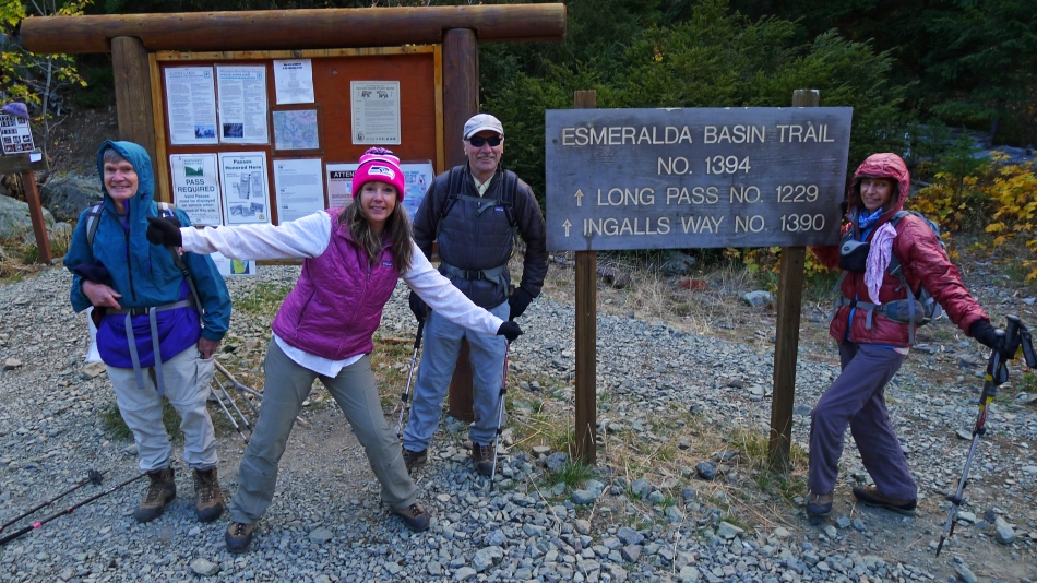
We parked (4240') at the end of the N. Fork Teanaway River Road (aka FS-9737).
|
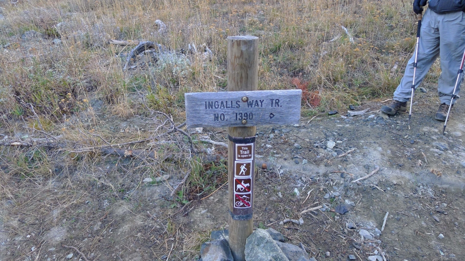
We hiked the Esmeralda Basin Trail #1394 for a quarter mile or so and turned right onto the Ingalls Way Trail #1390.
|
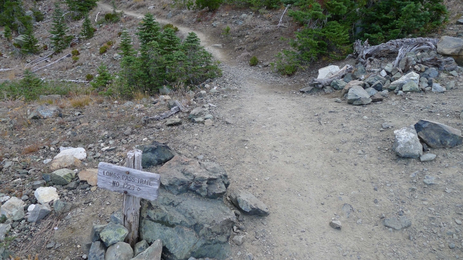
After hiking the Ingalls Way Trail for a couple miles we reached the junction with the trail to Longs Pass... but we will continue straight on the Ingalls Way Trail and continue toward Ingalls Pass.
|
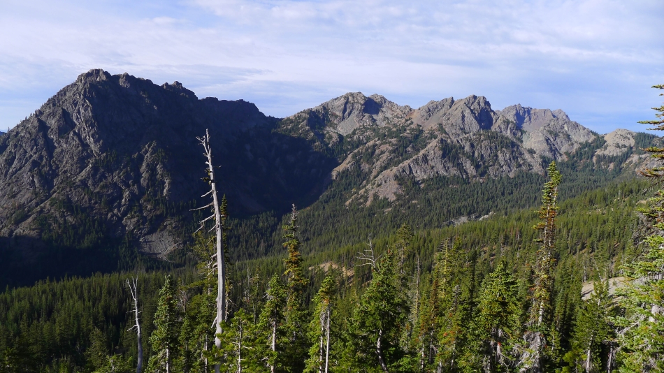
Continuing toward Ingalls Pass... looking across Esmeralda Basin to the 5 summits of Esmeralda Peak... with Hawkins mountain and Hawkins Thimble on the far right.
|
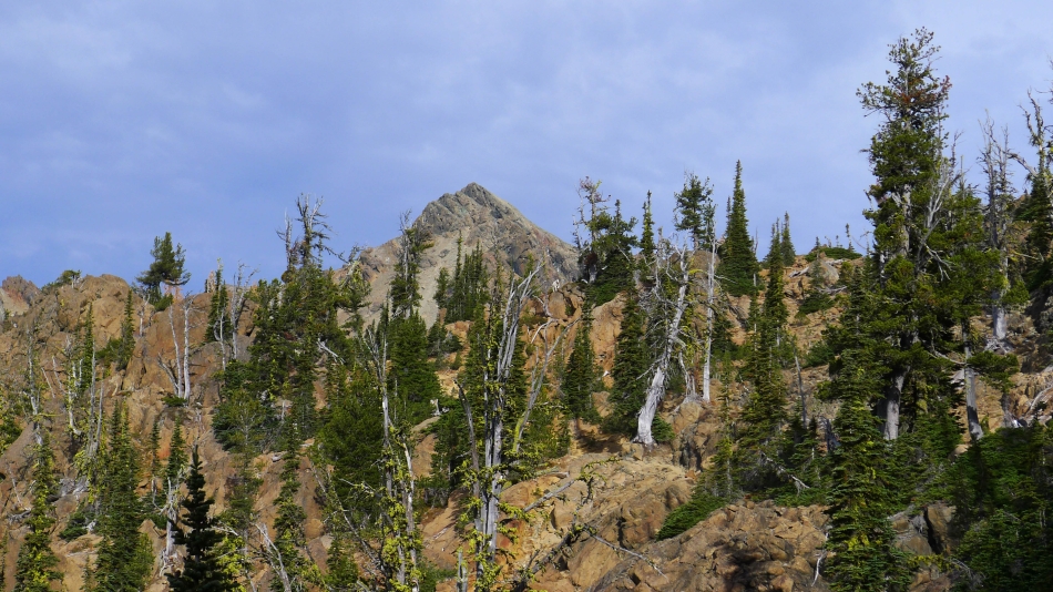
Nearing Ingalls Pass we can see South Ingalls Peak in the distance.
|
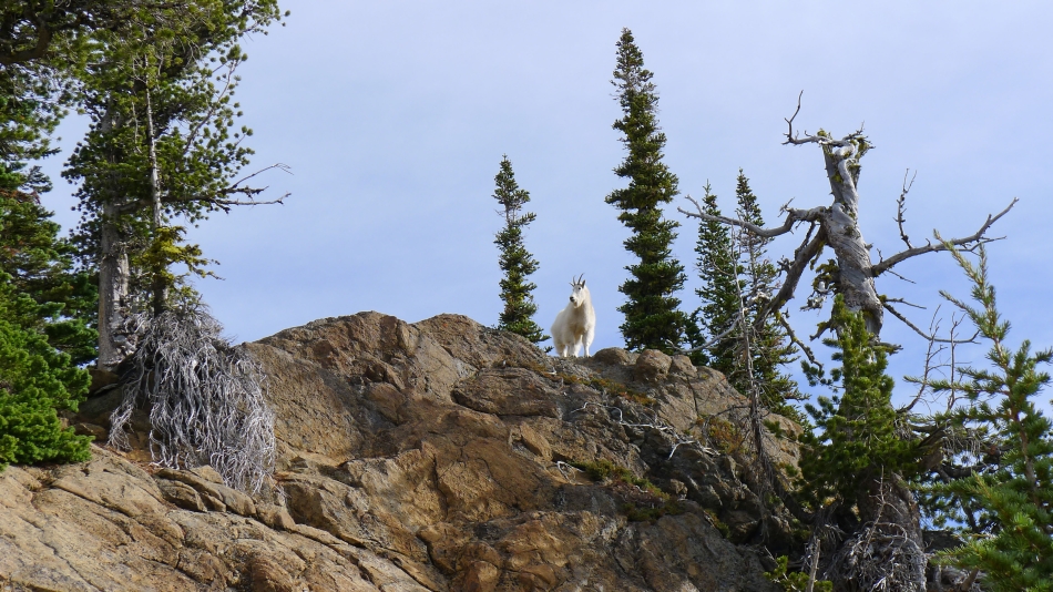
The Guardian of Ingalls Pass.
|
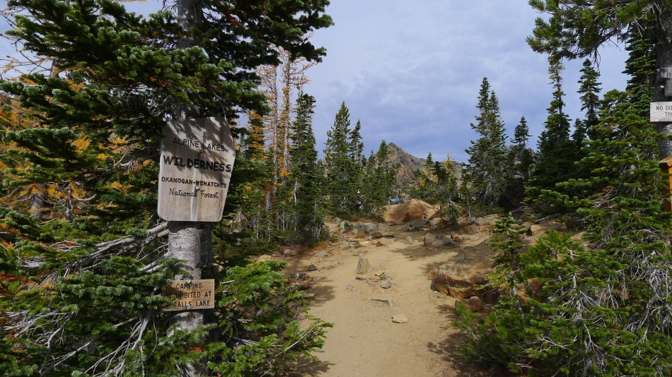
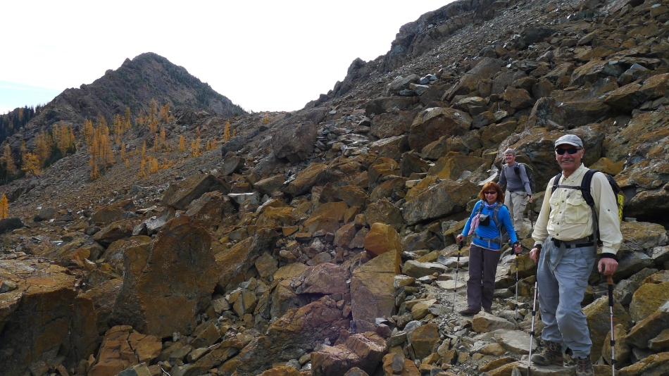
After hiking ~4 miles we have reached Ingalls Pass and will cross into the Alpine Lakes Wilderness... South Ingalls Peak in the distance.
|
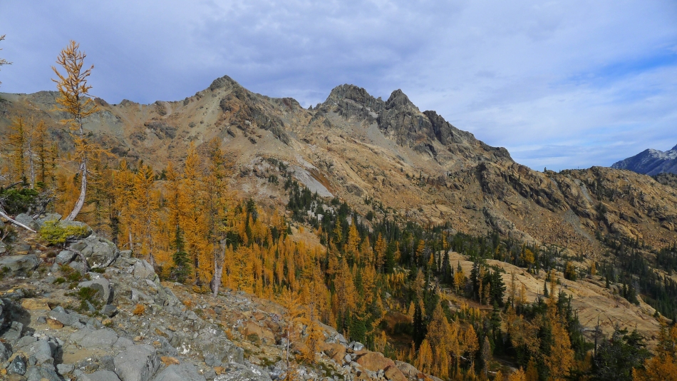
From Ingalls Pass we are looking across Headlight Basin to the three summits of Ingalls Peak... we will be going to the south summit on the left.
|
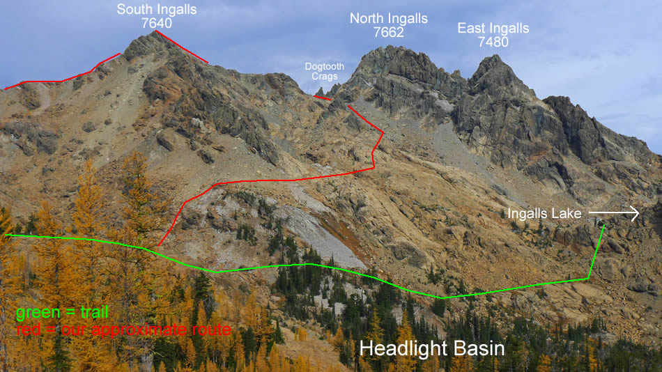
From Ingalls Pass we will stay on the high trail going to hiker's left... as we wrap around Headlight Basin... then leave the trail and work our way over and up to the Dogtooth Crags located in the col between the north and south summits.
|
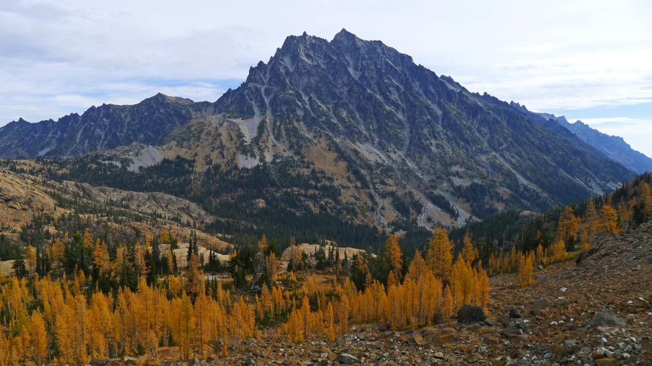
Looking across Headlight Basin to Mt. Stuart as we wrap around the basin... on the left we are looking across Stuart Pass to Jack Ridge.
|
Snowdog is on the high trail that wraps around Headlight Basin.
|
BarbE, rodman and tomman on the high trail that wraps around Headlight Basin... looking back at Ingalls Pass and 'Not Hinkhouse' Peak.
|
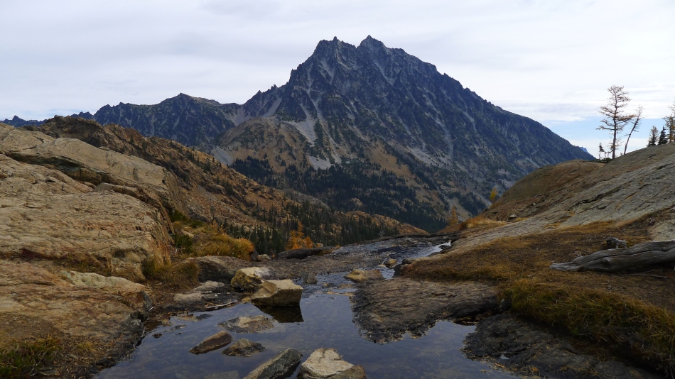
Mt. Stuart from Headlight Basin.
|
BarbE... still on the high trail that wraps around Headlight Basin... looking for a good place to leave the trail and start the cross-country portion of our trip.
|
Off trail now and gaining elevation up toward the Dogtooth Crags... looking back across Headlight Basin to Ingalls Pass and 'Not Hinkhouse' Peak... with Navaho Peak and Three Brothers on the far left horizon.
|

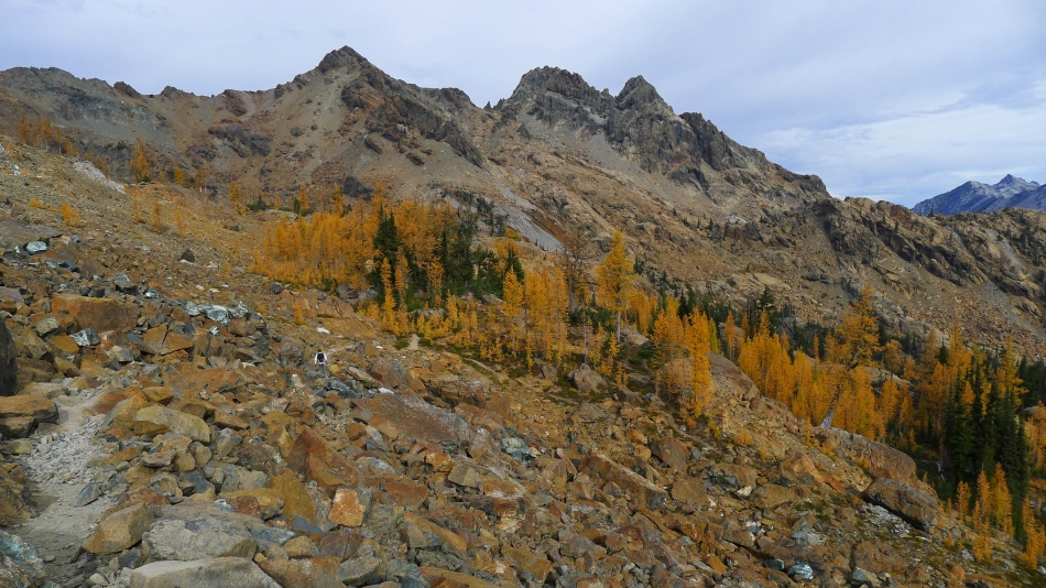
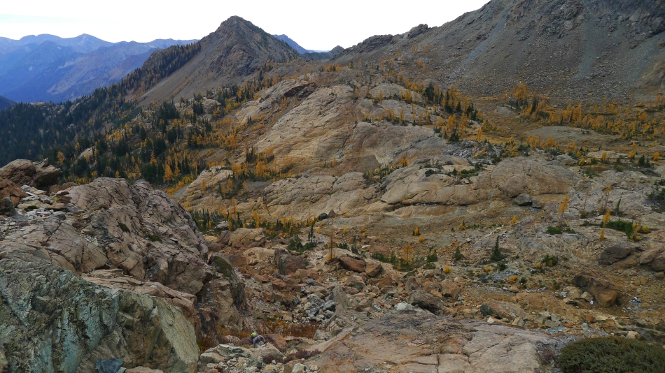
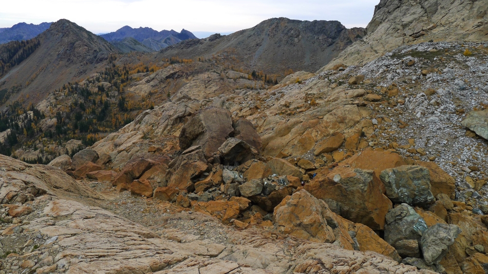
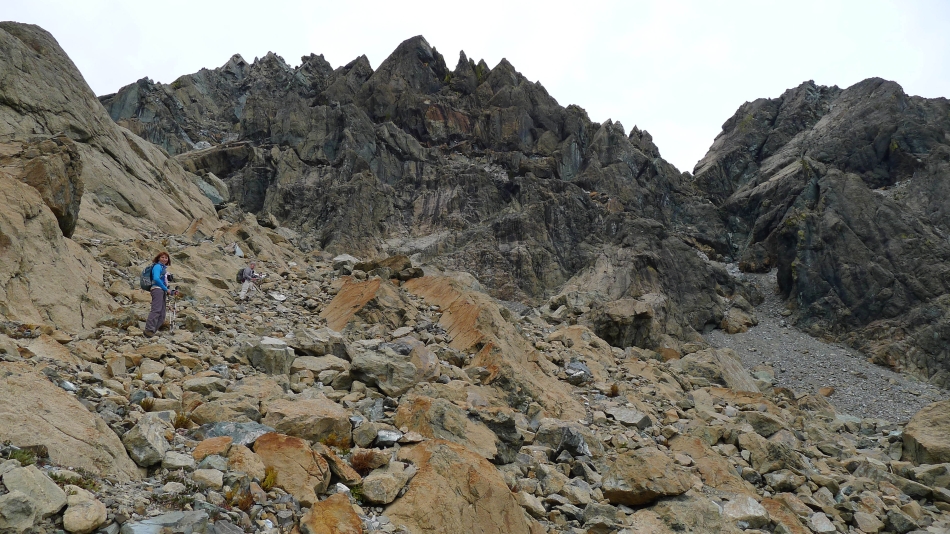
Lots of earth tones as we work our way over and up to the Dogtooth Crags in the gap on the left... North Ingalls and East Ingalls are in the center of the photo.
|

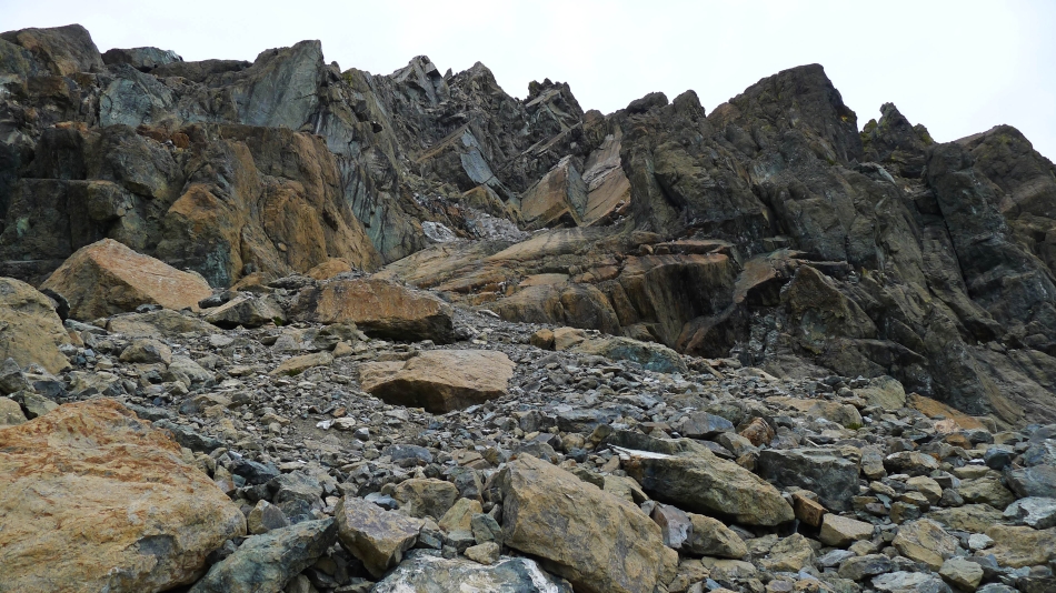
We will weave our way through the very large boulders.
|

Above Ingalls Lake and gaining elevation... with Mt. Stuart on the other side of Stuart Pass... Jack Ridge on the left... Three Brothers on the far right.
|
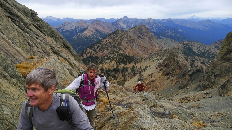
Looking down on tomman and BarbE as they weave their way through the gigundo boulders... looking back at Ingalls Pass and 'Not Hinkhouse' Peak... with Bills Peak and Teanaway Peak on the horizon.
|
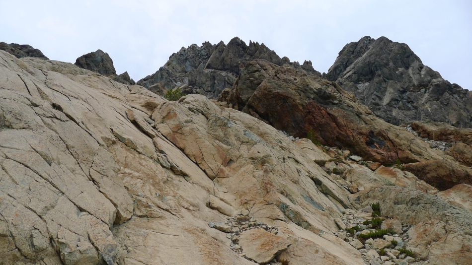
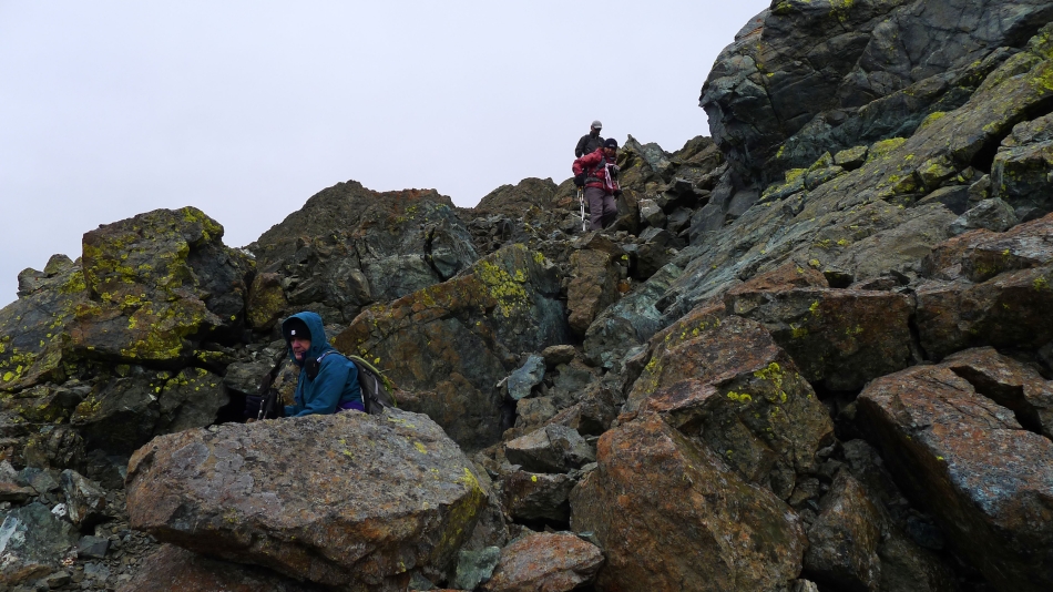
Continuing toward North Ingalls and East Ingalls as we work our way up to the Dogtooth Crags.
|
North Ingalls on the left... with East Ingalls on the right.
|
Snowdog leads the way.
|
BarbE and rodman.
|
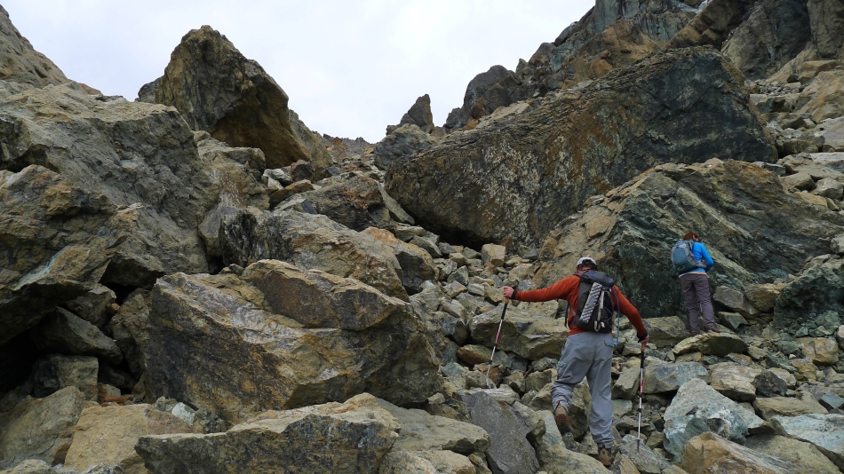
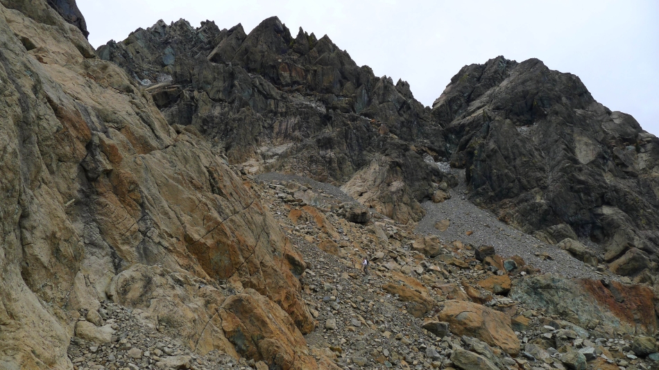
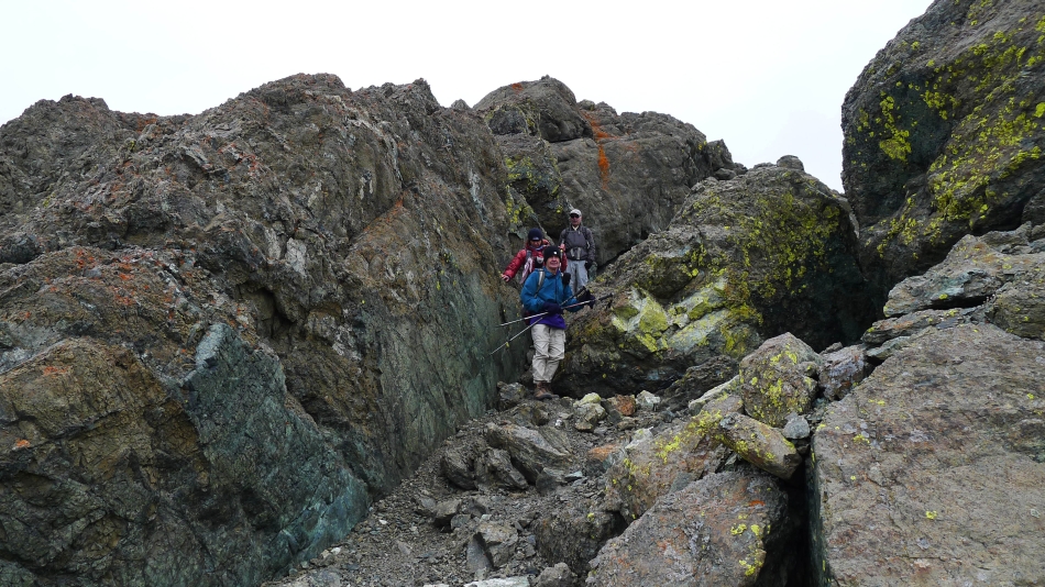
Still boulder hopping our way up to the Dogtooth Crags.
|
Will we ever get there?
|
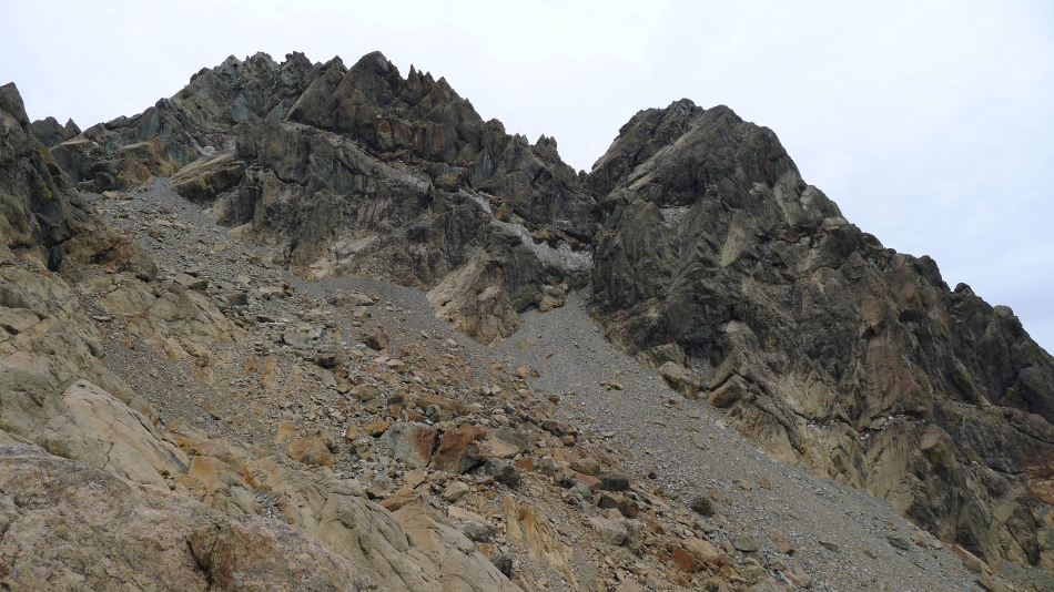
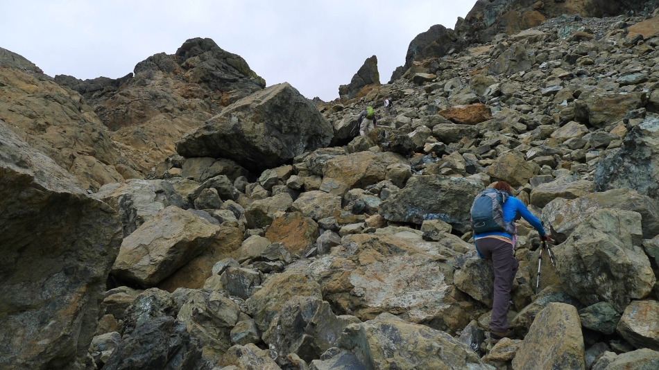
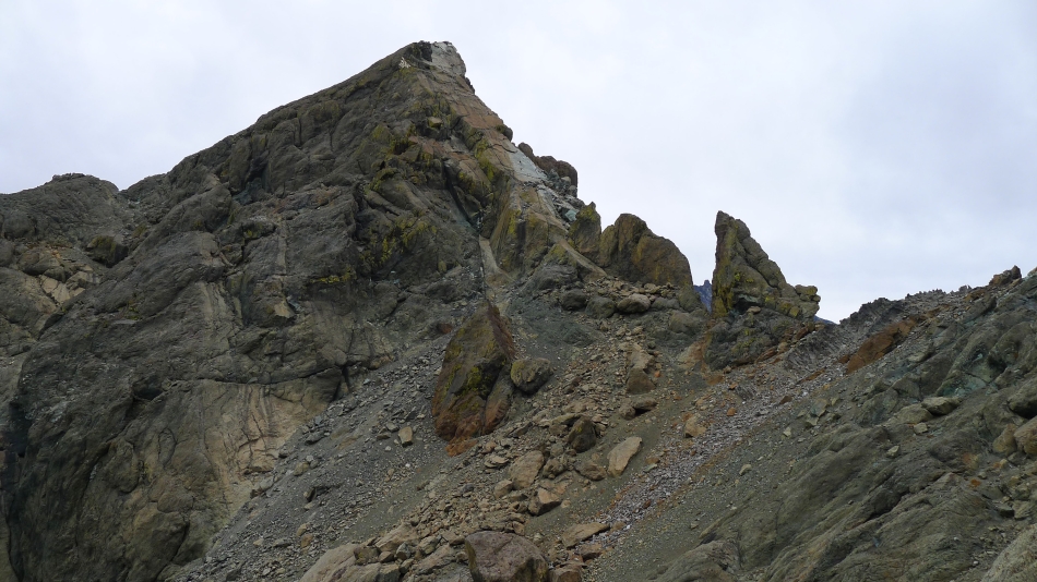
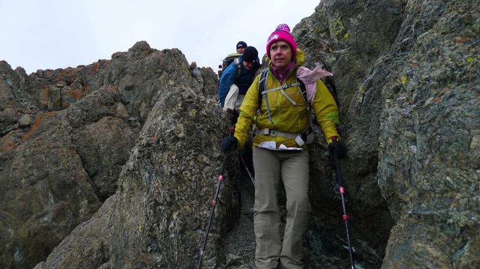
So close to the Dogtooth Crags and the col between the north and south summits.
|
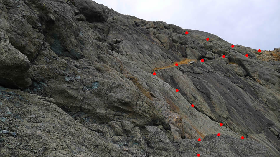
Incredible rock on the south side of the north summit.
|
We have reached the col between the north and south summits... looking down at Ingalls Lake and over to Mt. Stuart... following the Ingalls Creek drainage on the right to Navaho Peak and Three Brothers on the right horizon.
|
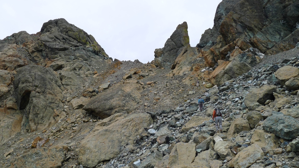
From the col between the north and south summits we will give back a little elevation on the west side of the col and find a pretty good path that will take us over toward the south summit. This can be much more problematic when covered with snow.
|
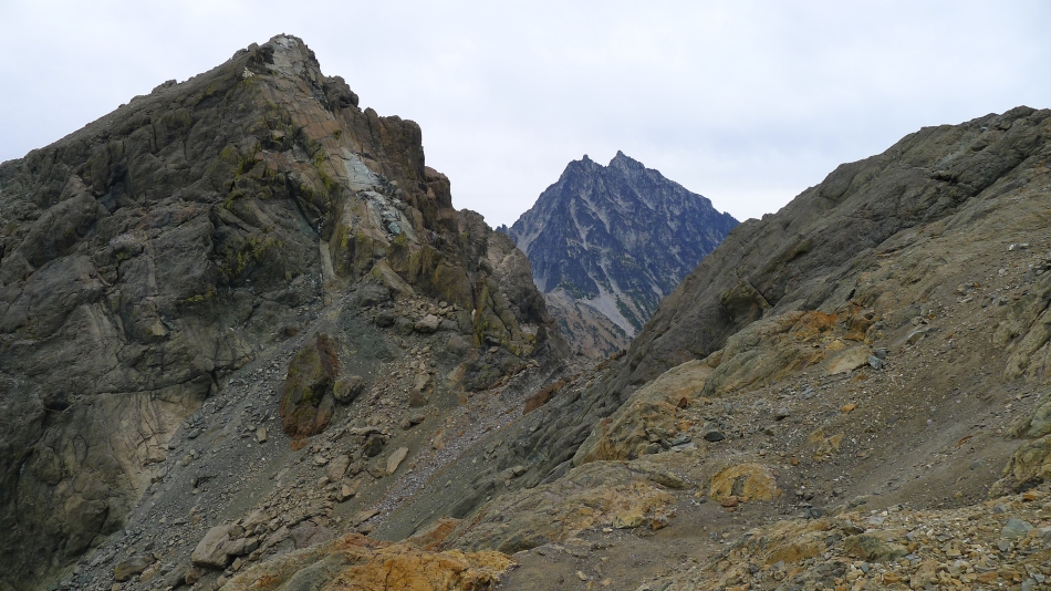
On the west side of the col now... looking back at the Dogtooth Crags and the north summit of Ingalls Peak.
|
On the west side of the col... with Van Epps Peak in the center foreground... and Yellow Lichen Tower in the right foreground.
|
A penny for Snowdog's thoughts right here... looking back at the north summit and Dogtooth Crags... and across the col to Mt. Stuart.
|
Mt. Stuart through the gap.
|
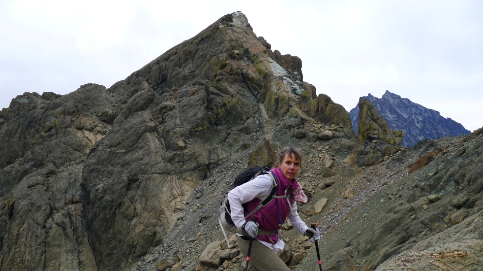
Back on easier terrain now and nearing the South Ingalls summit.
|
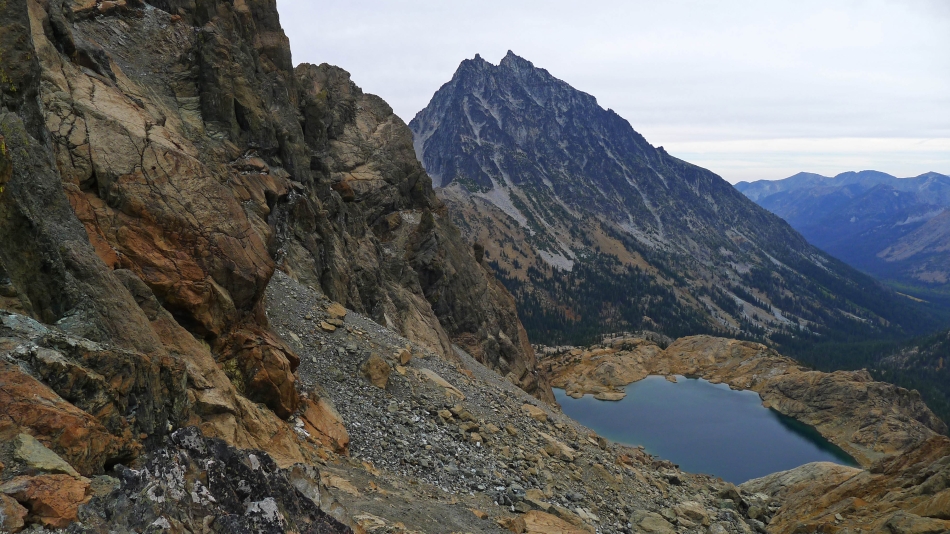
On the South Ingalls summit (7640')... looking down on Ingalls Lake and over to Mt. Stuart... with the north and east summits of Ingalls Peak in the left foreground... Eightmile Mountain and Cashmere Mountain on on the left horizon.
|
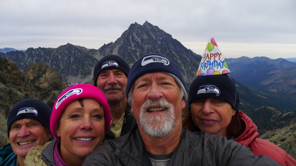
Celebrating BarbE's birthday on the South Ingalls summit... and her completion of the 'Teanaway Twenty' peaks list... rodman, Snowdog, tomman, ragman and BarbE.
|
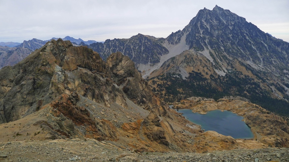
Looking down on Lake Ann from the South Ingalls summit... Hawkins Mountain on the left... and Goat Mountain on the right.
|
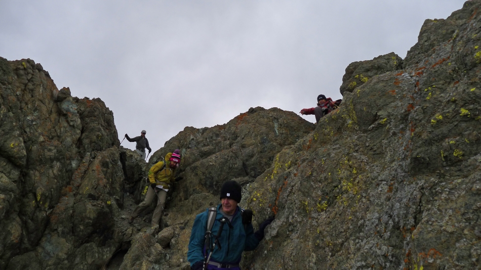
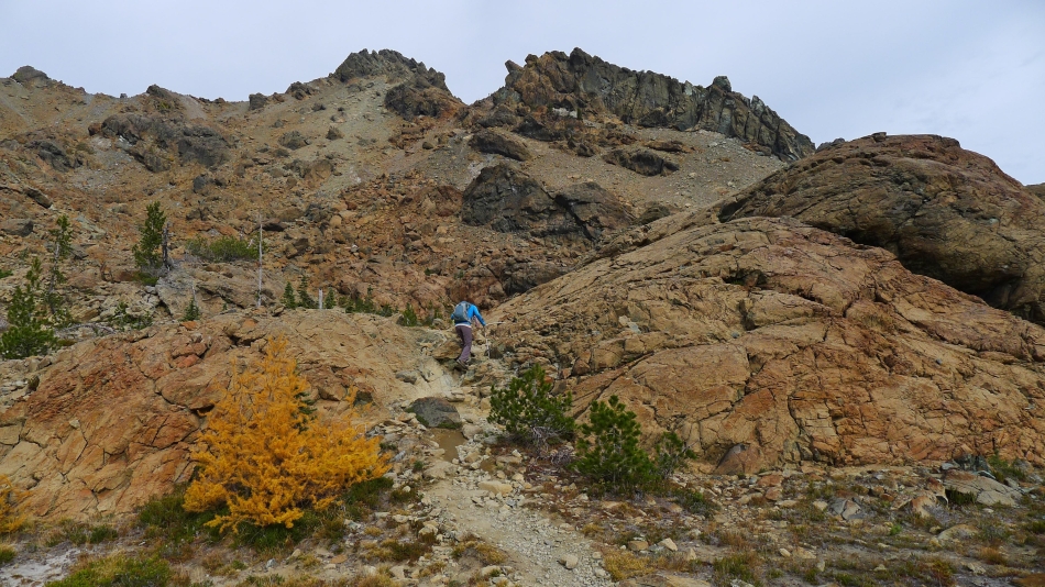
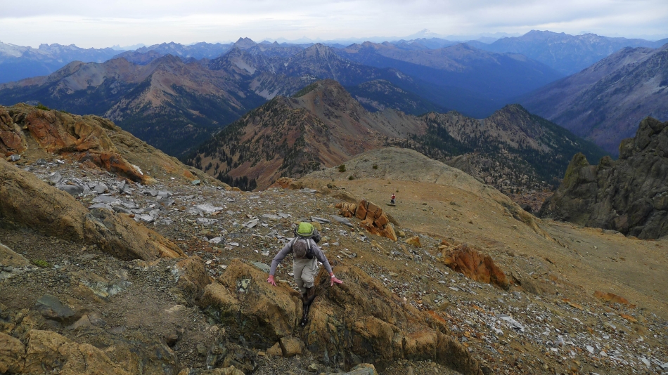
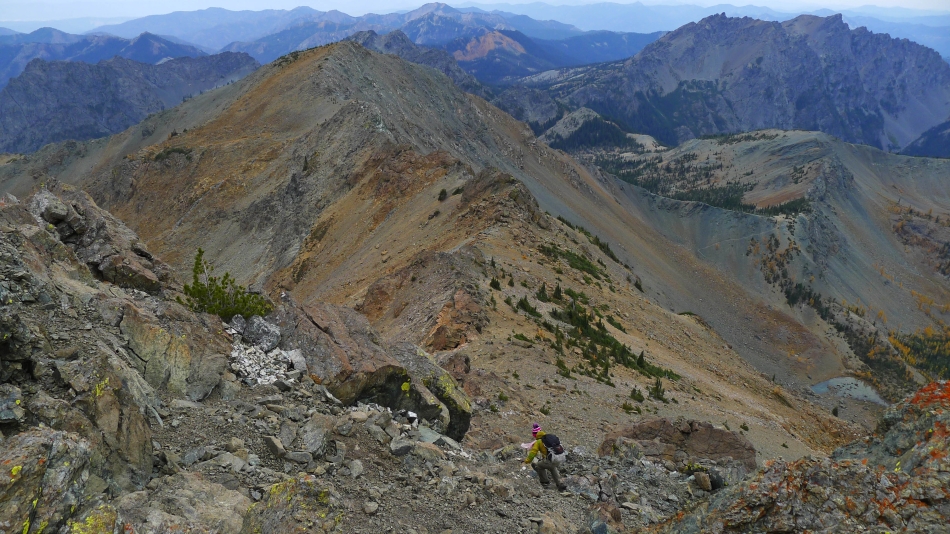
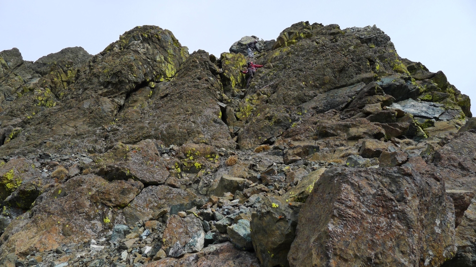
Time to do a little Class 3 scrambling as we descend the south side of South Ingalls... on our way over to Fortune Peak.
|
Are we having fun yet.
|
Lots of orange and yellow lichen on the rocks.
|
Snowdog descends the south side of South Ingalls... we will run the ridge over to Fortune Peak at the top of the photo... Hawkins Mountain on the right... Lake Ann in the lower right corner of the photo.
|
Scrambling on the south side of South Ingalls.
|
BarbE and tomman... lost in the yellow lichen on the south side of South Ingalls Peak.
|
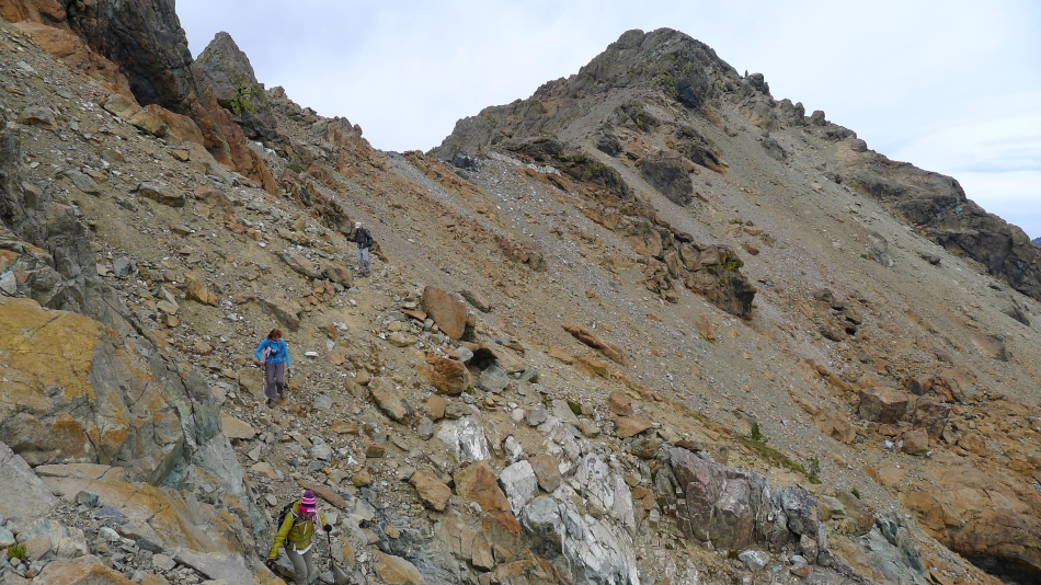
Looking back at South Ingalls as we traverse our way over toward Fortune Peak.
|

Still working our way over to Fortune Peak... South Ingalls on the left and Mt. Stuart on the right.
|
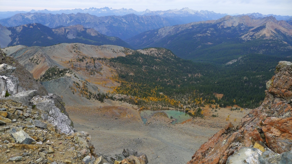
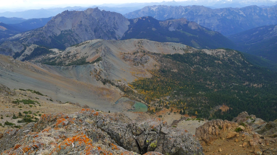
Looking down on Lake Ann as we near Fortune Peak.
|

I'm on the Fortune Peak summit (7382') watching the rest of our gang coming up... South Ingalls on the left... Mt. Stuart on the right... with Ingalls Lake in the center of the photo.
|

Looking up at Fortune Peak from the 6000 foot basin on the SW side of the summit.
|
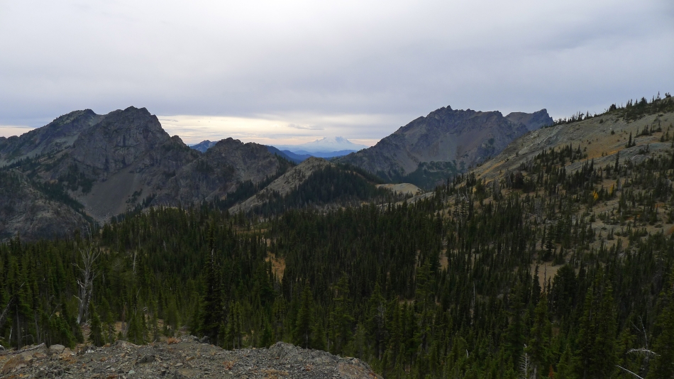
Looking across the gap between Esmeralda Peak (left) and Hawkins Mountain out to Mt. Rainier on the horizon... we still have a 3 mile hike ahead of us as we return to the car via Esmeralda Basin.
|
