Snoqualmie Mountain (east summit) - 10.20.2015
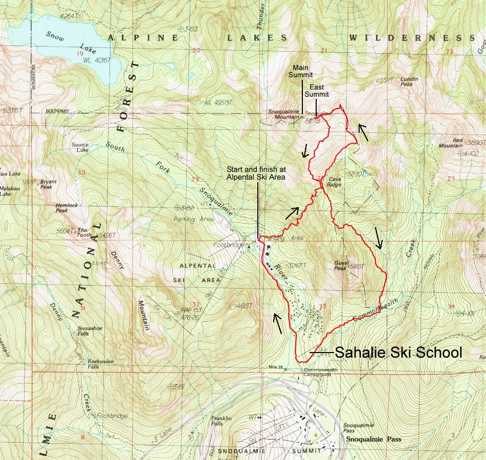
A photo of the GPS track for our trip to the east summit of Snoqualmie Mountain... ~7 miles roundtrip, gaining 3537 feet of elevation.
|
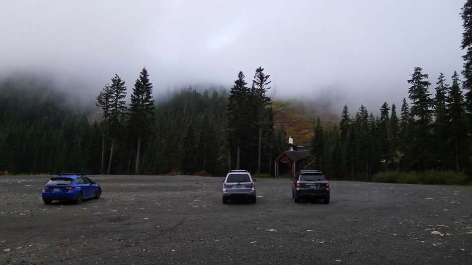
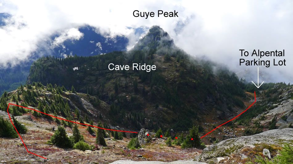
We parked (~3080') at the Alpental Ski Area parking lot.
|
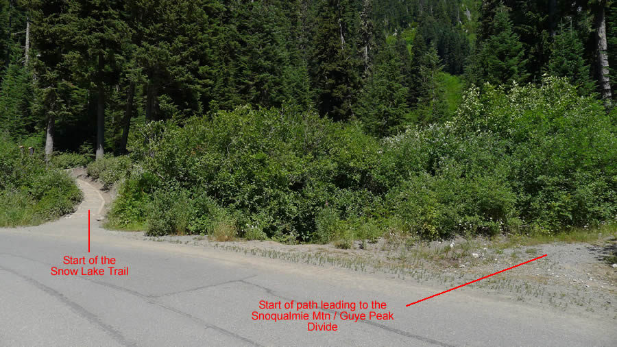
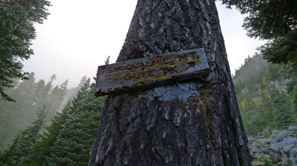
From the Alpental Ski Area we continued several steps up the road and took an unsigned path... note that if you start up the Snow Lake Trail, you are off route.
|
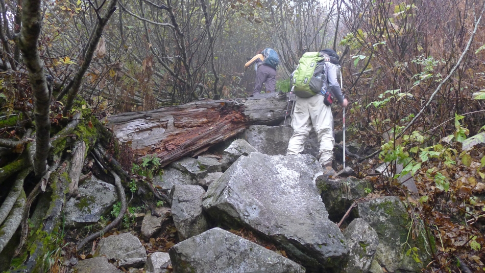
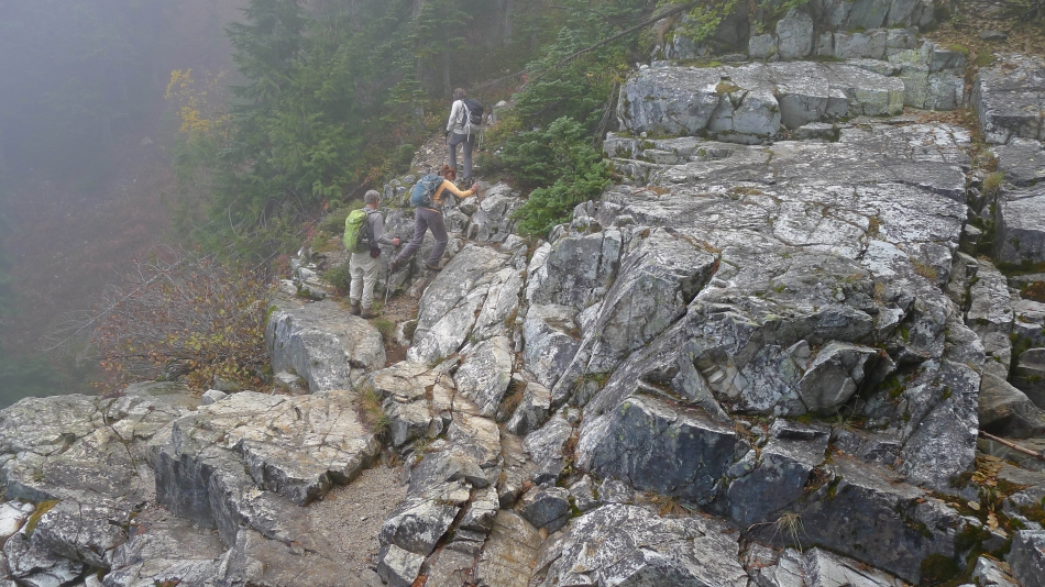
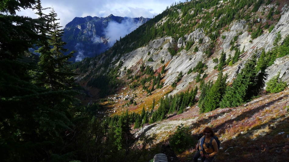
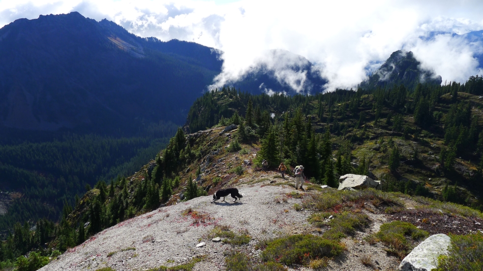
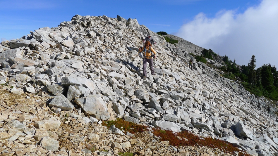
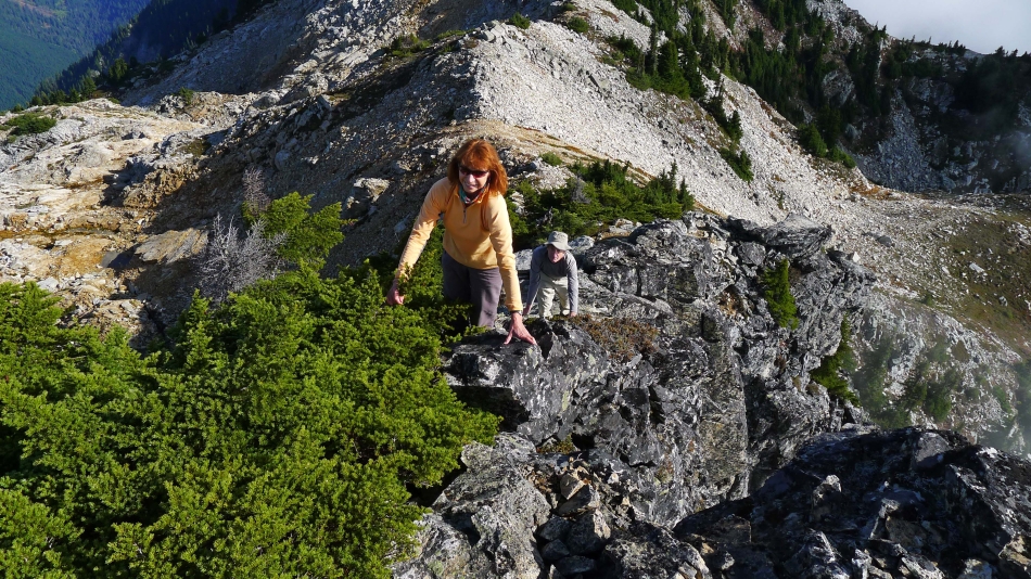
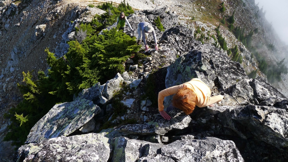
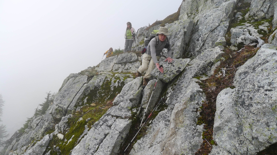
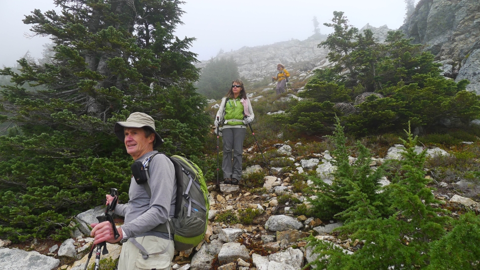
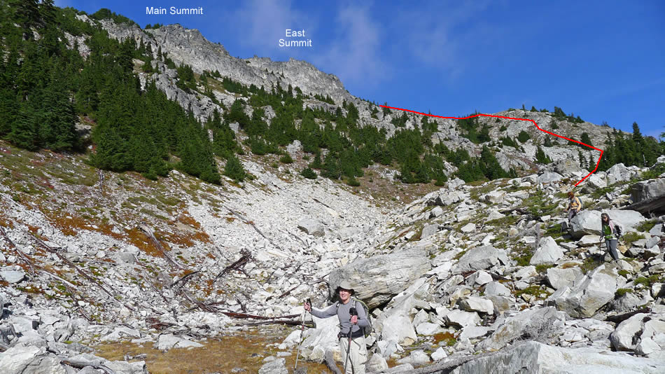
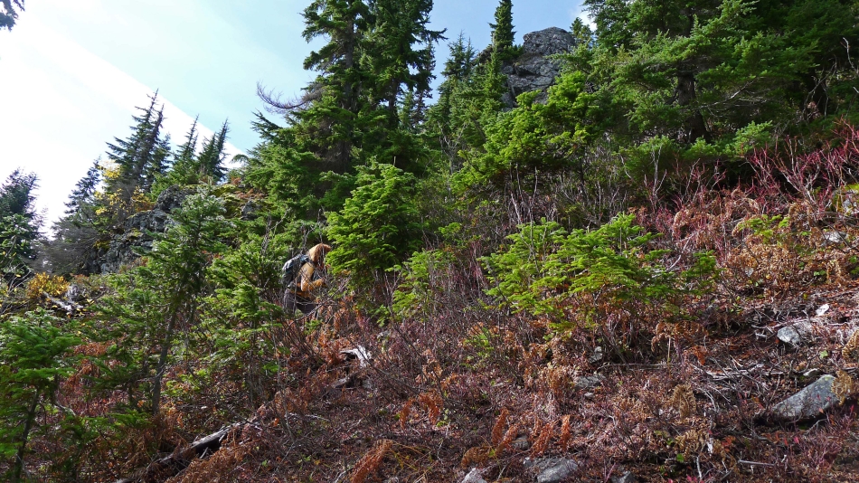
The path leading up to the Snoqualmie/Guye divide is on steep terrain and very rocky in places.
|
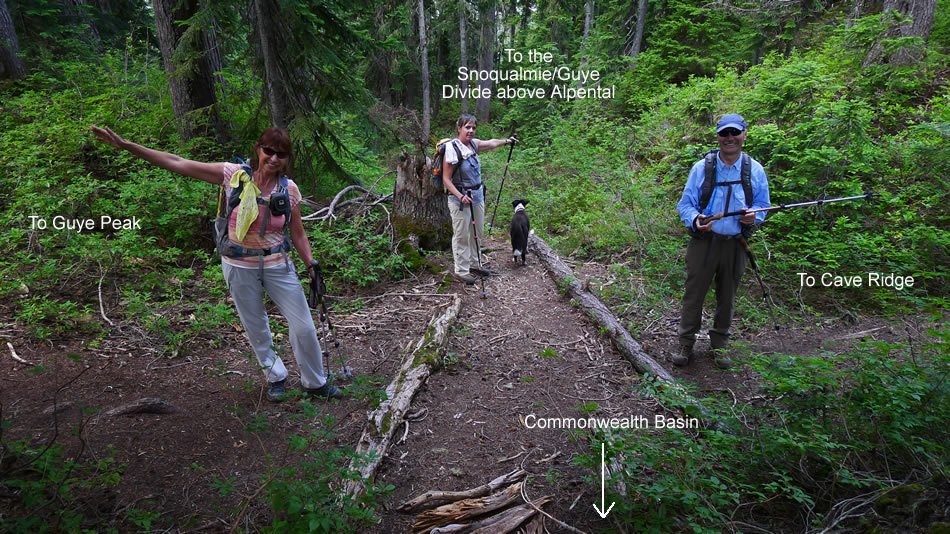
We have reached the Snoqualmie/Guye divide (4200')... here a person could go to hiker's right and follow cairns over to the saddle between Guye Peak and Cave Ridge... but we will continue straight and head for the valley between Cave Ridge and Snoqualmie Mountain.
|
Crossing a dry stream bed at 4440 feet.
|
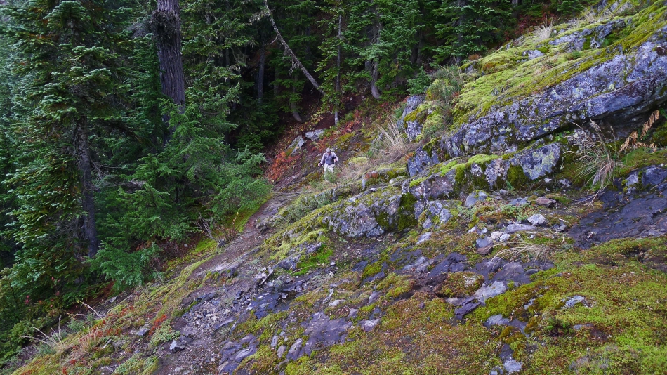
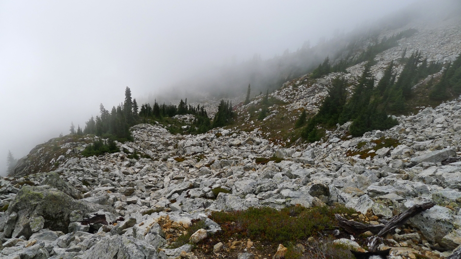
At ~4530 feet we have left the main path and are on a less obvious path that is taking us back over toward the dry stream bed... where we will find a path that will take us up to the valley between Cave Ridge and Snoqualmie Mountain.
|
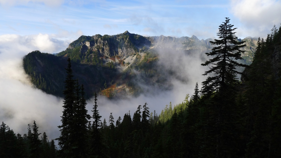
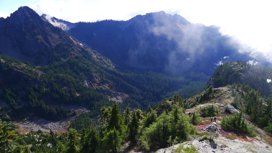
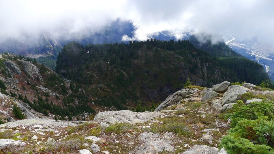
Looking across the valley at the Alpental Ski Area and Denny Mountain.
|
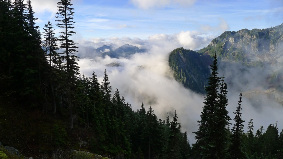
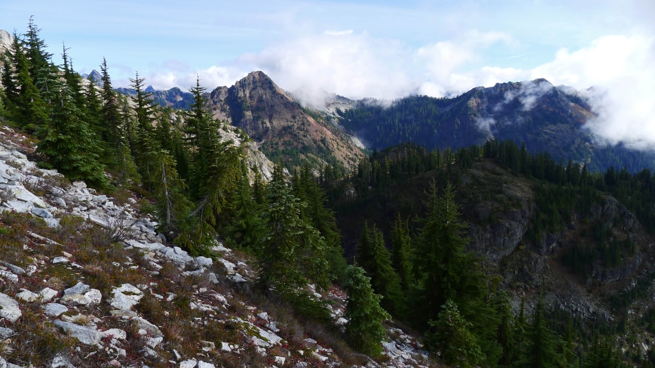
Looking across Snoqualmie Pass to Tinkham Peak and Silver Peak... the Alpental Ski Area and a shoulder of Denny Mountain in the right foreground.
|
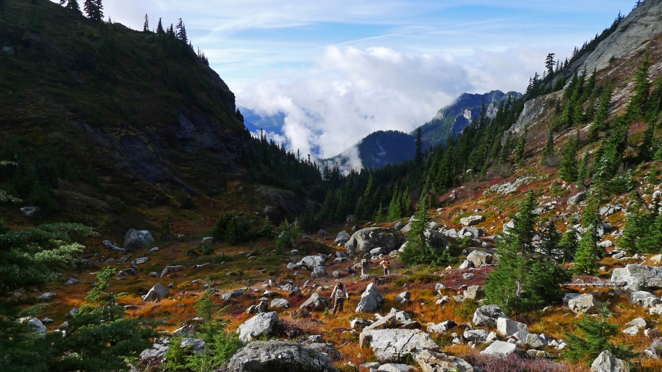
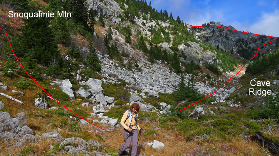
We have reached the valley (~4680') between Snoqualmie Mountain (left) and Cave Ridge on the right... looks like someone has been here before us.
|
We will continue up the valley to the ridge in the center of the photo.
|
Snowdog and BarbE in the valley between Cave Ridge (left) and Snoqualmie Mountain... looking back through the gap to Denny Mountain on the right.
|
Gaining elevation now up to the ridge at the NE end of the valley between Cave Ridge and Snoqualmie Mountain... looking back through the gap at Denny Mountain.
|
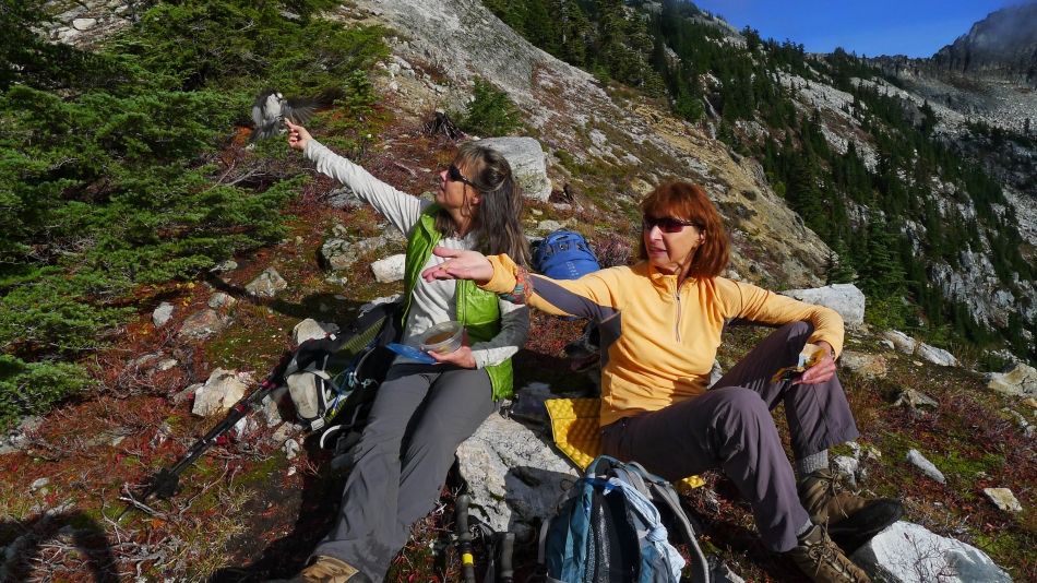
We have reached the ridge... and Snowdog and BarbE are feeding the Camp Robbers.
|
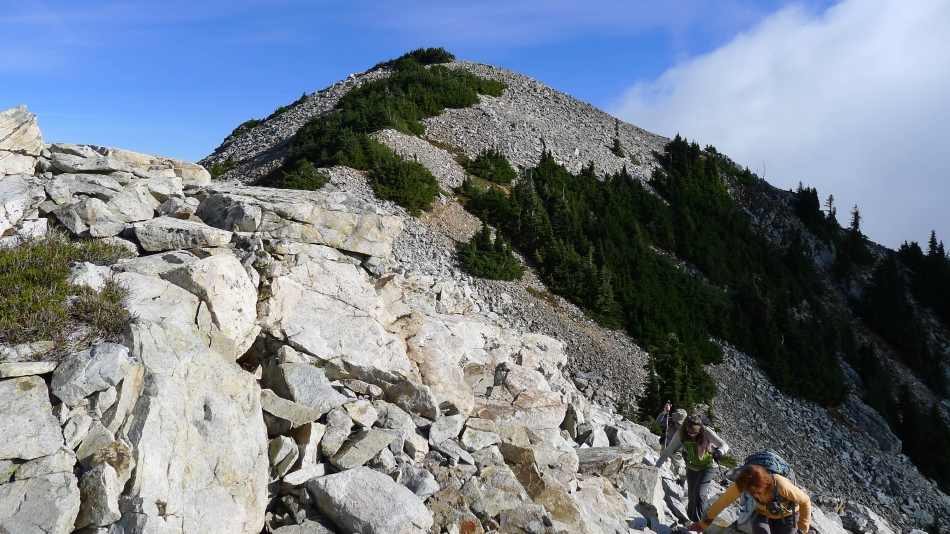
Time to continue up this ridge that will take us to the east ridge of Snoqualmie Mountain.
|
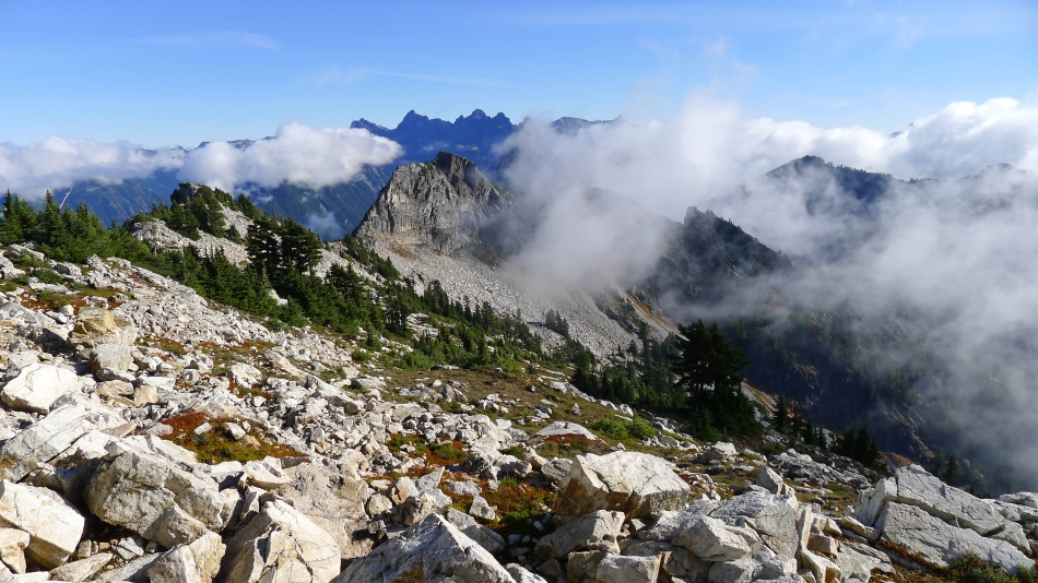
Looking east at Lundin Peak on the left... and Red Mountain on the right.
|

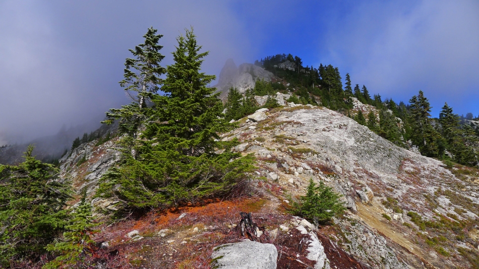
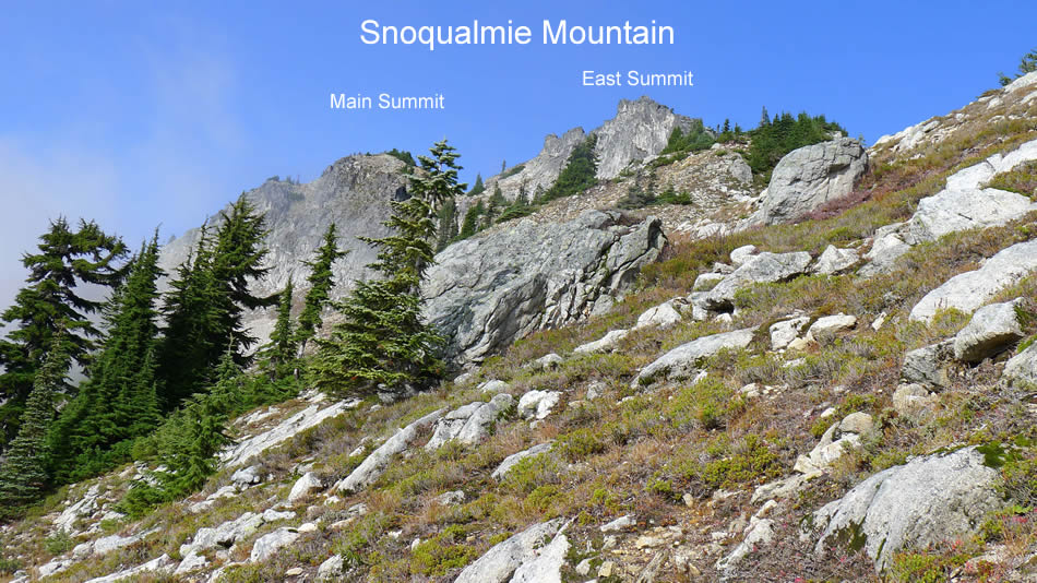
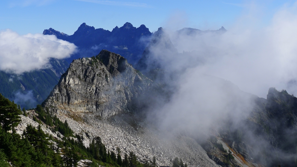
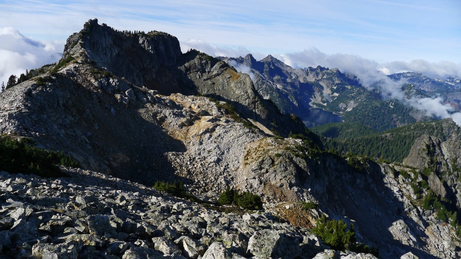
With all of the clouds moving in and out we have finally got our first good look at the east summit in the center of the photo... the main summit is the rounded bump on the left.
|
On the ridge that will take us up to Snoqualmie's east ridge... Kendall Peak on the left... and Guye Peak on the other side of Cave Ridge on the right.
|
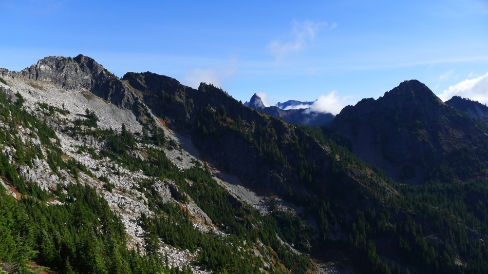
Still on the ridge... with Red Mountain on the left and Kendall Peak in the center... Commonwealth Basin is below.
|
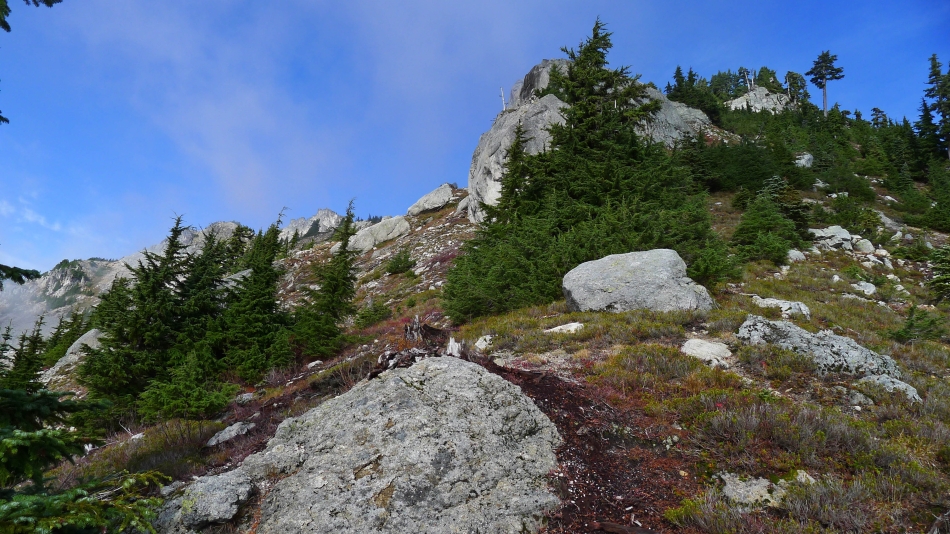
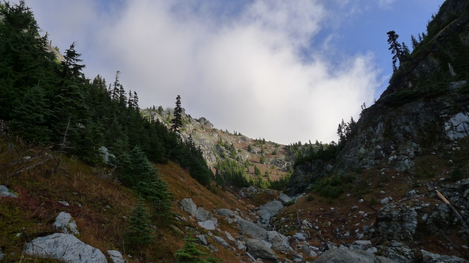
Continuing up the ridge toward the east ridge of Snoqualmie Mountain.
|
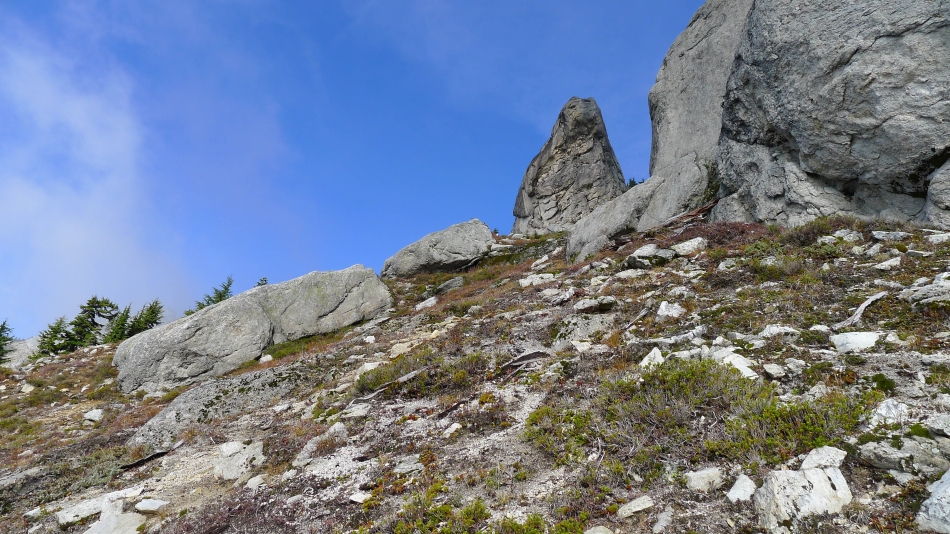
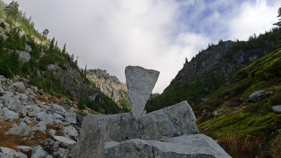
Passing by a couple of huge monoliths on the way to the east ridge of Snoqualmie Mountain.
|
Looking down on our approximate route up from the Alpental Ski Area and over to the ridge that will lead us up to the east ridge of Snoqualmie Mountain.
|
Still working our way up to the east ridge of Snoqualmie Mountain.
|
Still on a ridge that will get us up to the east ridge of Snoqualmie Mountain.
|
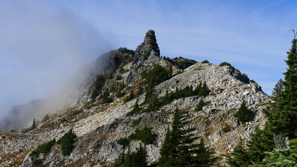
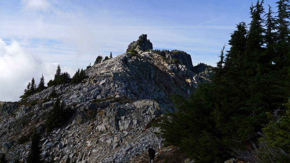
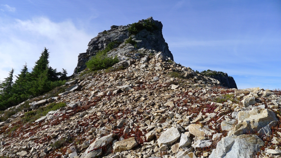
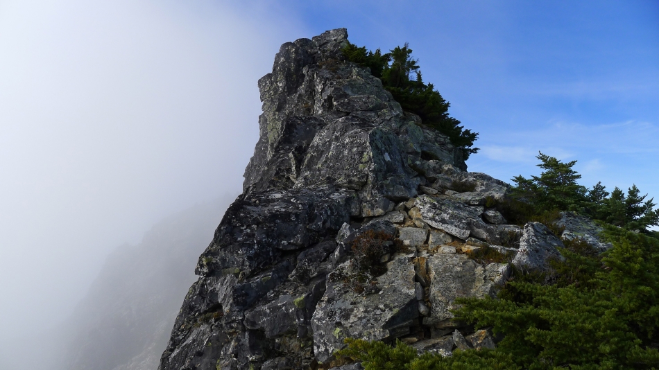
The east summit of Snoqualmie Mountain looks pretty gnarly from here.
|
Still working our way up to the east ridge of Snoqualmie Mountain... looking east to Lundin Peak in the foreground... with Overcoat Peak, Chimney Rock and Lemah Mountain on the horizon.
|
Looking over Lundin Peak to Overcoat Peak, Chimney Rock and Lemah Mountain... with the pyramid of Chikamin Peak peeking through the clouds on the right.
|
Still working our way up to the east ridge of Snoqualmie Mountain.
|
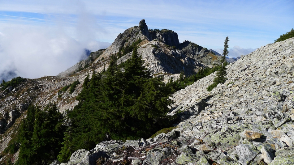
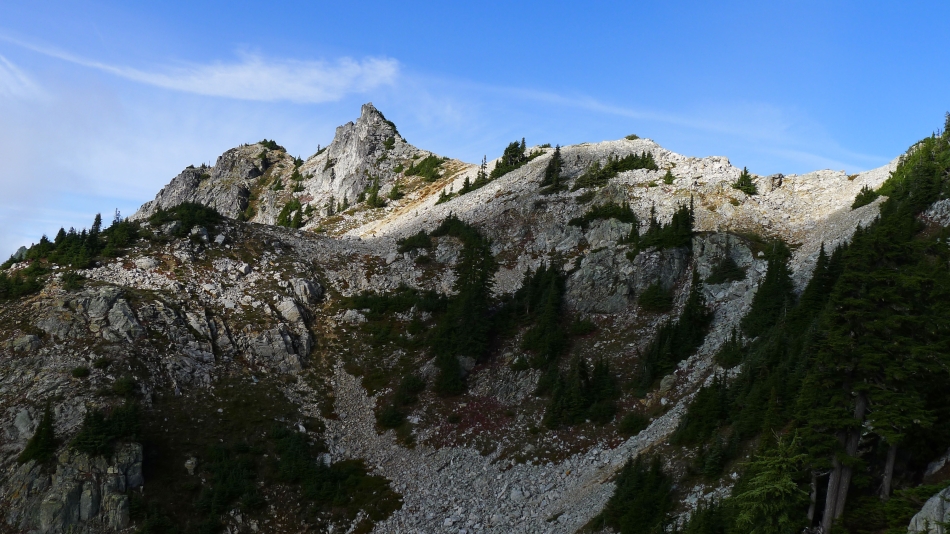
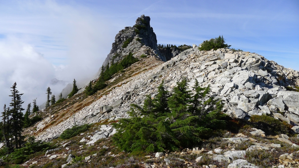
Just below Point 6160+ on the east ridge of Snoqualmie Mountain... the east summit is the prominent rock outcropping... with the main summit further back and to the right.
|
From Point 6160+ we are looking out to Snow Lake... with the east and main summits of Snoqualmie in the left foreground... Chair Peak, Kaleetan Peak, Mt. Roosevelt and Preacher Mountain on the horizon.
|
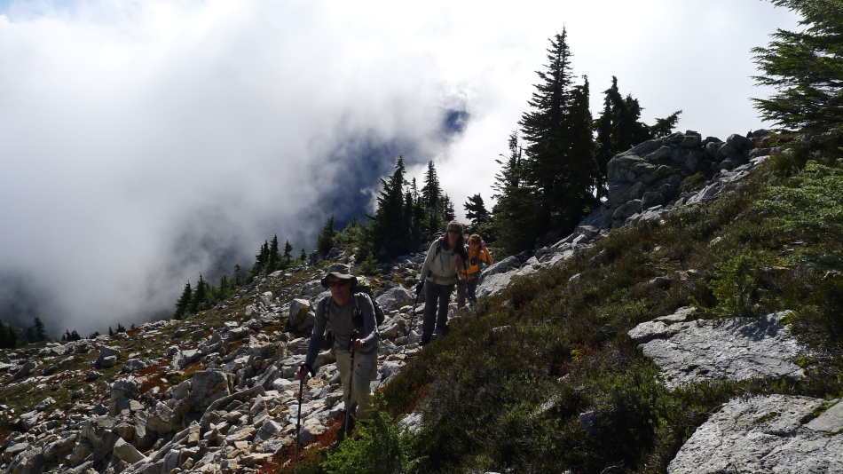
Izzy leads the way along Snoqualmie's east ridge... heading for the east summit.
|
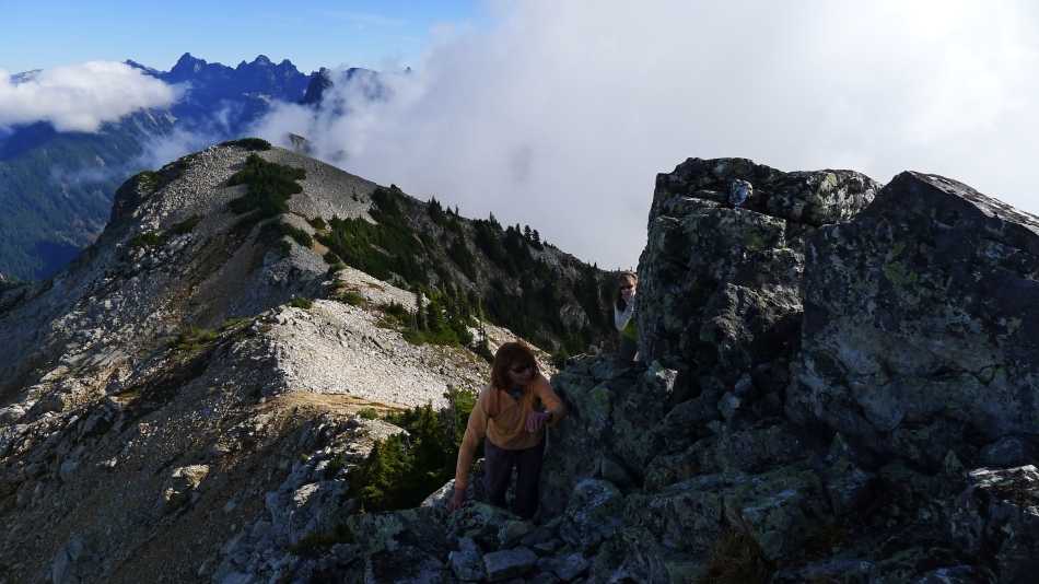
Looking back a Point 6160+ as we continue along Snoqualmie's east ridge.
|
Getting closer.
|
Still on Snoqualmie's east ridge.
|
Almost time to store the packs and poles... and begin the scramble to the summit.
|

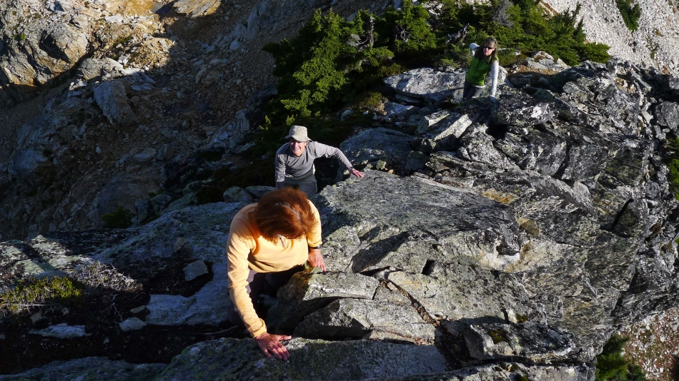
Really good foot and hand holds.
|
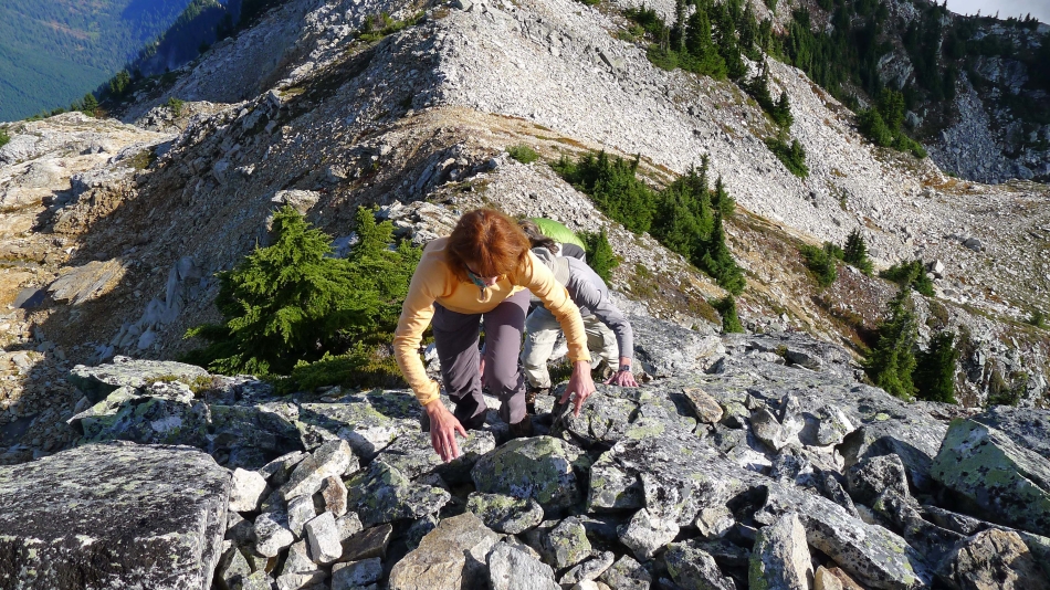
A fun scramble.
|
Still heading up.
|
Are we having fun yet?
|
Class 2 with a little Class 3 mixed in for fun.
|
Working around the first of two rabbit ears.
|
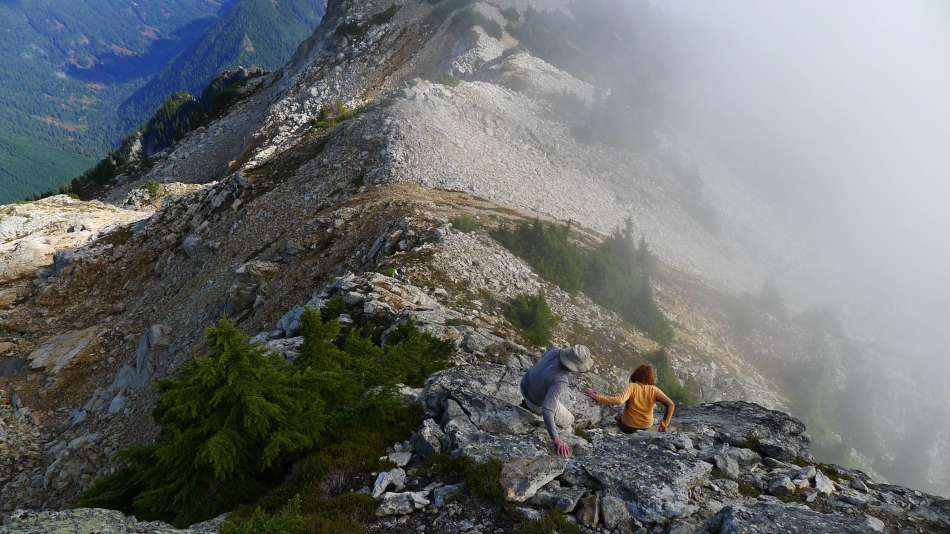
The final approach to the east summit is a bit airy.
|
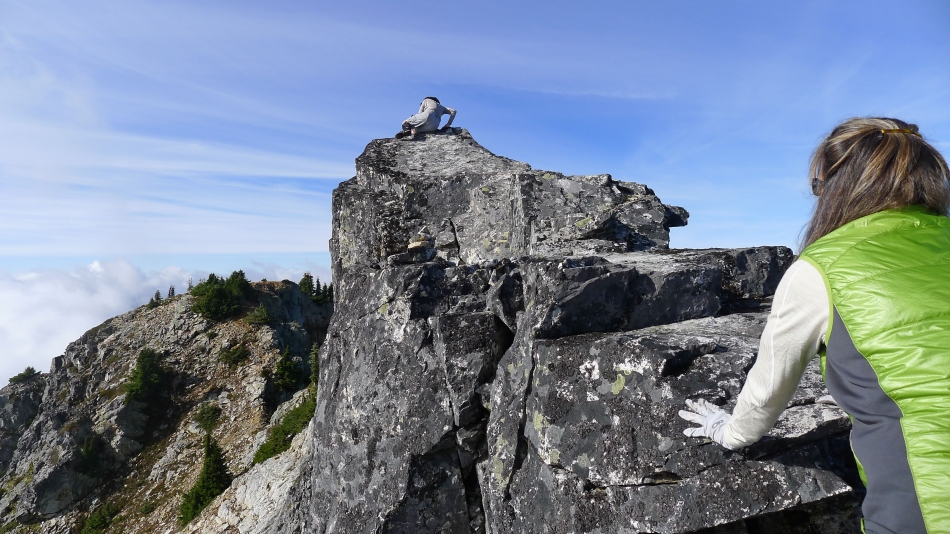
Snowdog watches me step over the high point of the east summit.
|
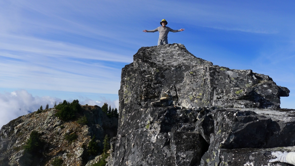
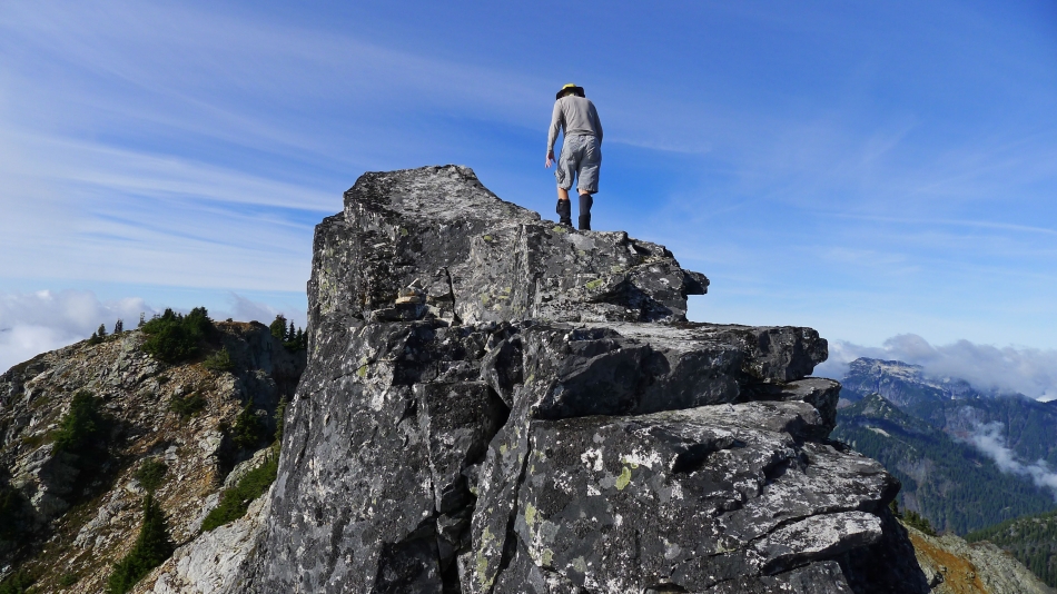
Ta-da!!!... on the east summit (6217 feet on my GPS).
|
Coming back down... got to be really careful on the next 7 feet.
|
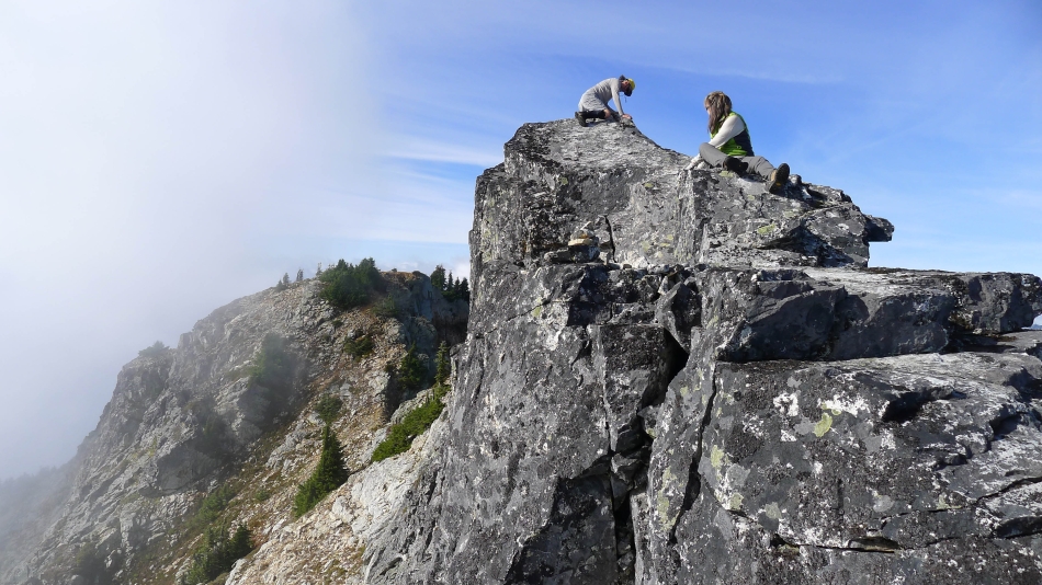
Looking over at the main summit from the east summit... the crux of the scramble is in the left foreground.
|
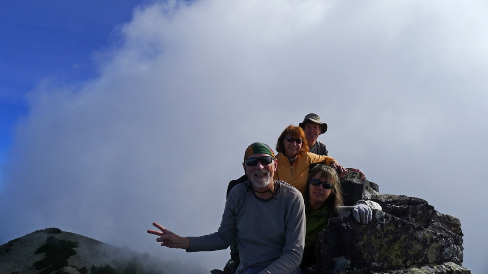
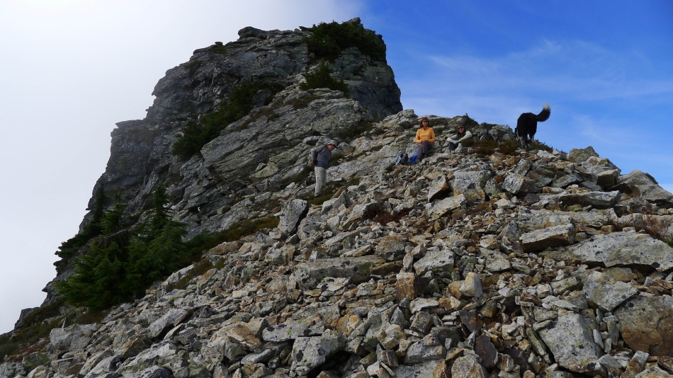
Group shot from near the east summit... Point 6160+ on the left.
|
Leaving the summit area as the clouds roll in.
|
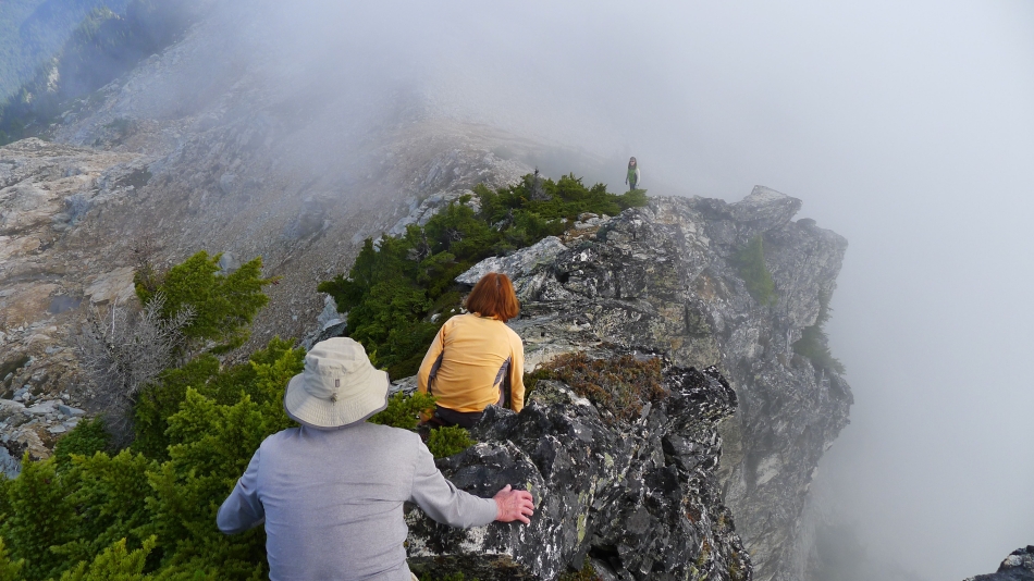
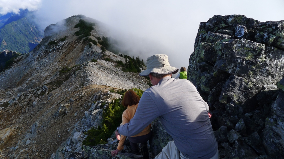
Heading down.
|
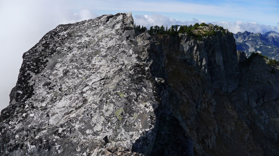
Looking back at the east summit as we continue down.
|
Still heading down.
|
Off of the hard stuff... and preparing to leave the east ridge.
|
We are going to work our way down to the basin on the south side of Snoqualmie.
|
Some Class 2 as we work our way down to the basin on the south side of Snoqualmie.
|
Still working our way down to the basin on the south side of Snoqualmie.
|
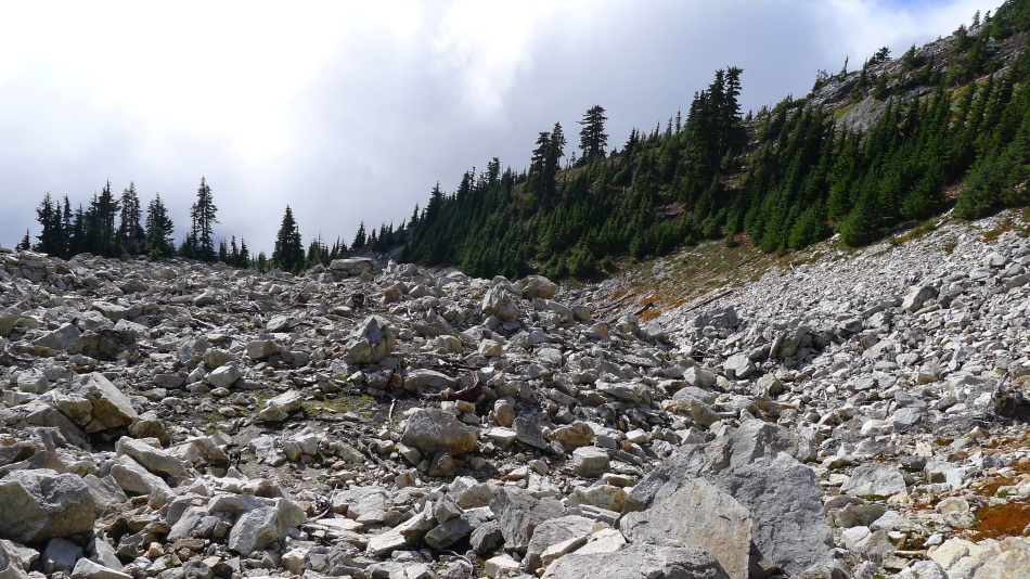
Lots of boulders to deal with on our way to the basin on the south side of Snoqualmie.
|
Below the clouds now... Cave Ridge in the foreground... with Snoqualmie Pass on the far right.
|
We have reached the basin on the south side of Snoqualmie... the good path to the main summit follows the ridge on the right... we will work our way over and connect with it.
|
In the basin on the south side of Snoqualmie... and our approximate route down to it from the east ridge.
|
Red Mountain and Kendall Peak from the basin on the south side of Snoqualmie.
|
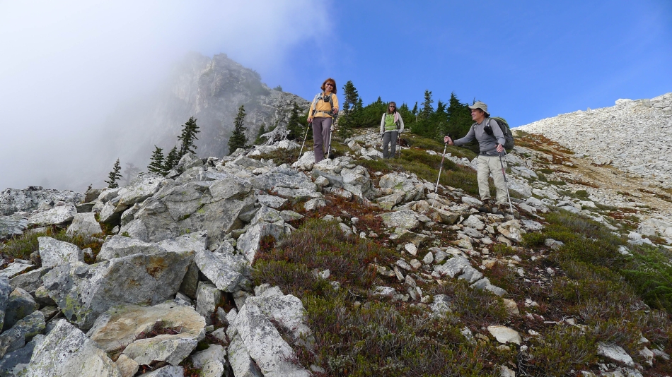
We have found the good path that goes up to the main summit... we will follow it down for awhile.
|
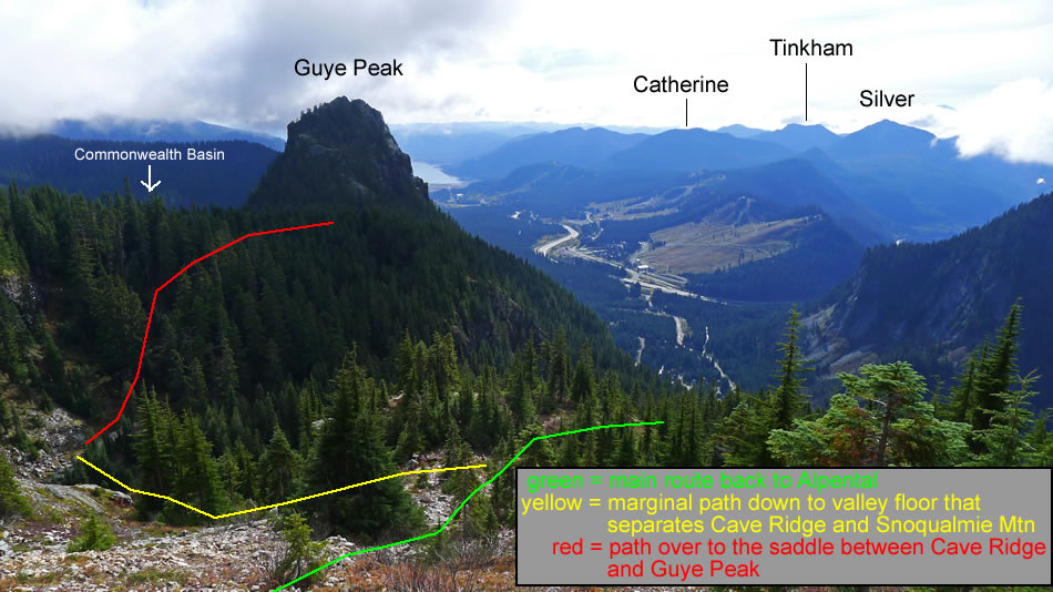
We will stay on the good path until we can get down to a good place to work our way down to the valley between Cave Ridge and Snoqualmie Mountain... then we will follow a good path over to the saddle between Cave Ridge and Guye Peak.
|
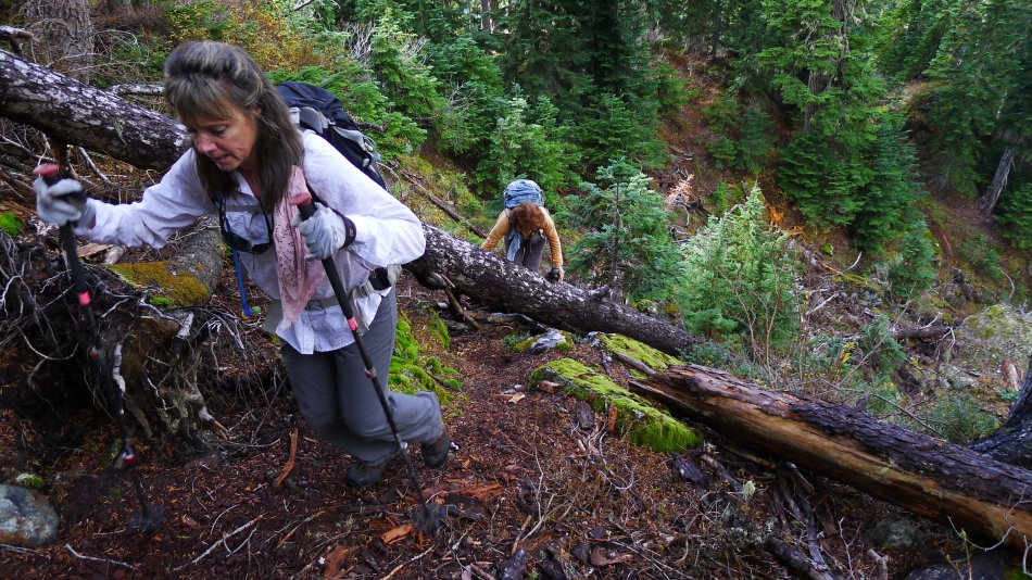
Bushwhacking our way down to the valley between Snoqualmie and Cave Ridge.
|
We have reached the valley between Snoqualmie Mountain and Cave Ridge... showing the route we took earlier in the day up to the east ridge of Snoqualmie.
|
On the good path that will take us from the Snoqualmie/Cave valley over to the saddle between Cave Ridge and Guye Peak.
|
We have reached the saddle between Guye Peak and Cave Ridge... now we will go down to Commonwealth Basin.
|
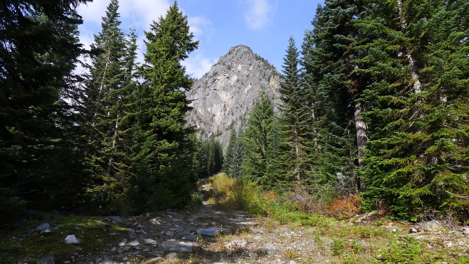
We have reached an abandoned road that comes up from the Sahalie Ski School... Guye Peak in the distance.
|
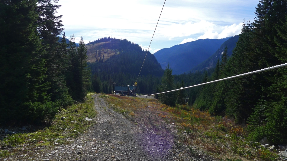
Looking down the abandoned Road to the Sahalie Ski School.
|
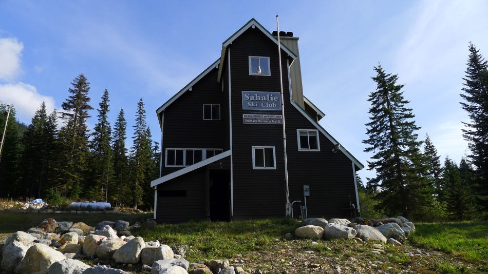
The Sahalie Ski School.
|
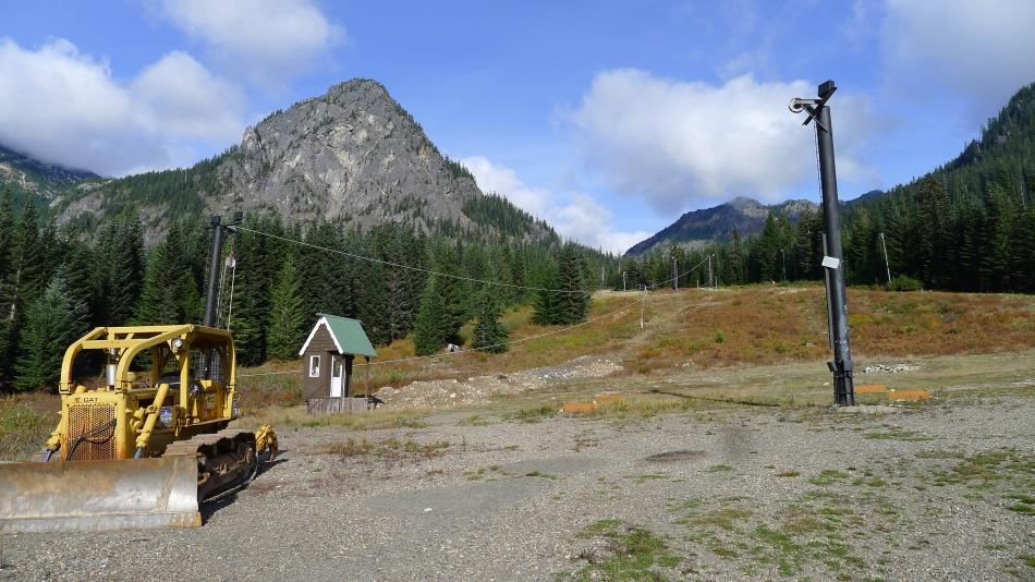
Looking back at Guye Peak from the Sahalie Ski School... now we will walk the Alpental Access Road for a mile to get back to our car at the Alpental Ski Area.
|
