Teanaway Peak and Iron Peak - 11.4.2015
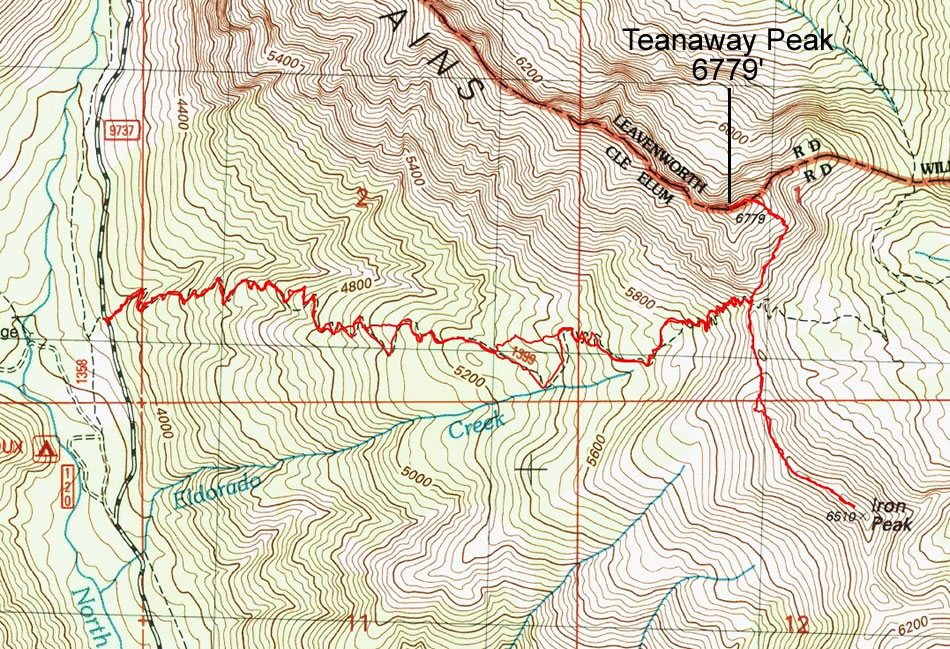
A photo of the GPS track for our trip to Teanaway Peak and Iron Peak... 7.2 miles roundtrip, gaining 3227 feet of elevation.
|
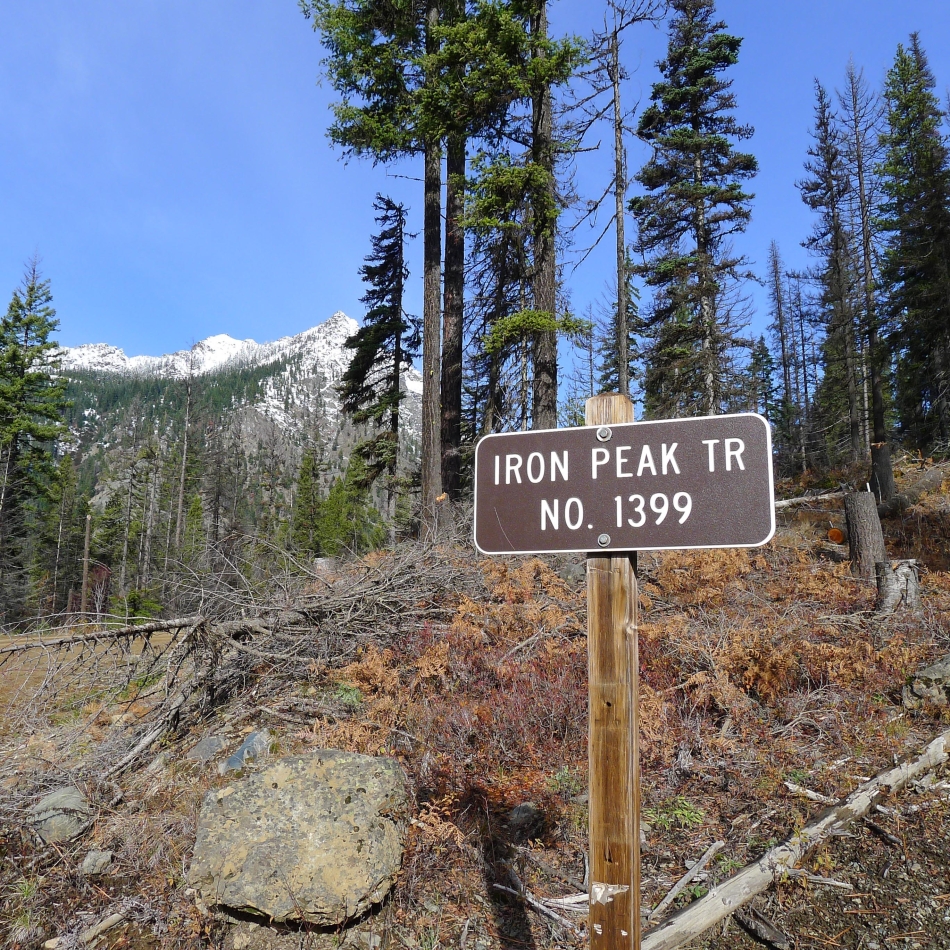
The Trailhead (3960') for Iron Peak is just off of FS-9737... an 8.6 mile drive from the entrance to 29 Pines Campground... you can see Esmeralda Peak... up valley from the trailhead.
|
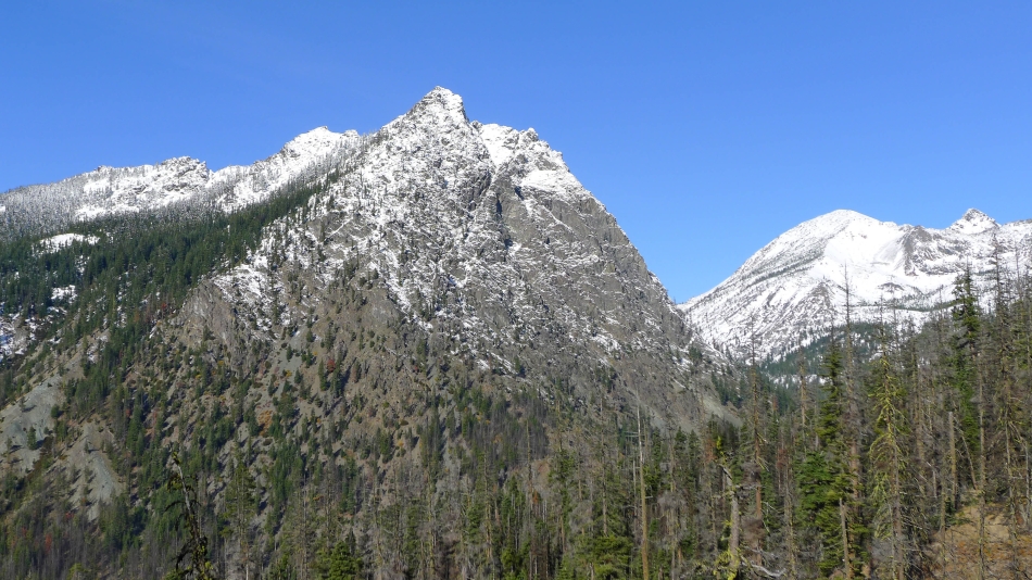
On the Iron Peak Trail... looking up valley to Esmeralda Peak in the left foreground... and further up valley to Fortune Peak and South Ingalls Peak.
|
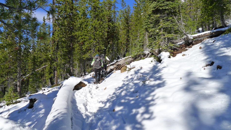
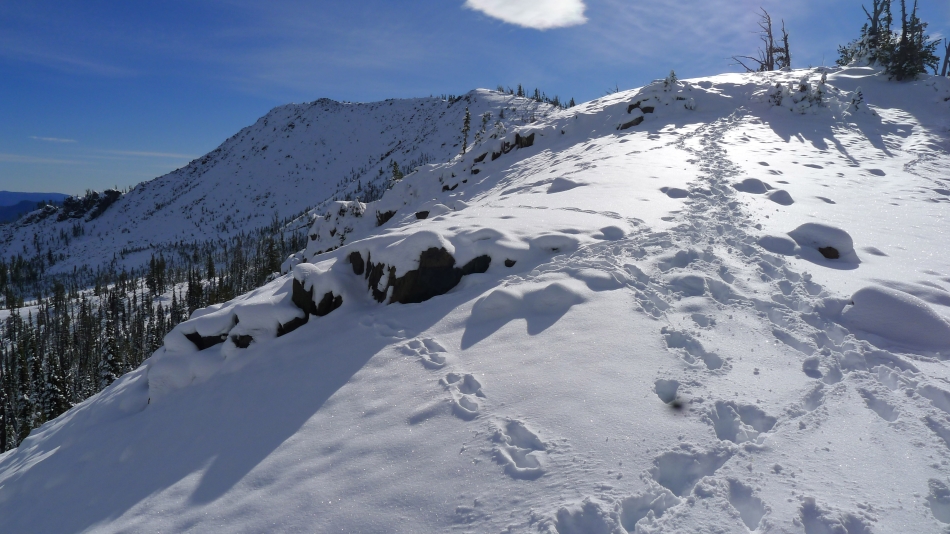
A trace of new snow at 4800 feet... and a couple inches at 5000 feet in this photo.
|
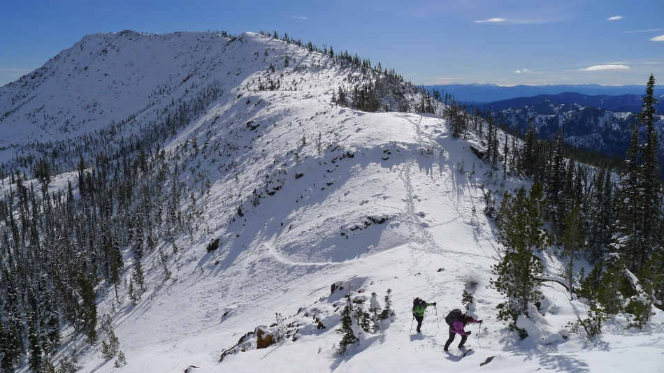
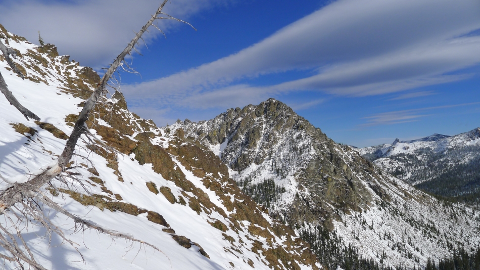
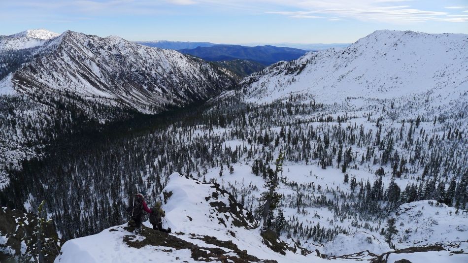
There was a foot of new snow at the Iron/Teanaway saddle (6200')... Iron Peak in the distance... we will return to this saddle and do Iron Peak after we finish with Teanaway Peak.
|
From the Iron/Teanaway saddle we are looking at Bills Peak in the left foreground... with Volcanic Neck, Bean Peak, Marys Peak and Judis Peak in the distance.
|
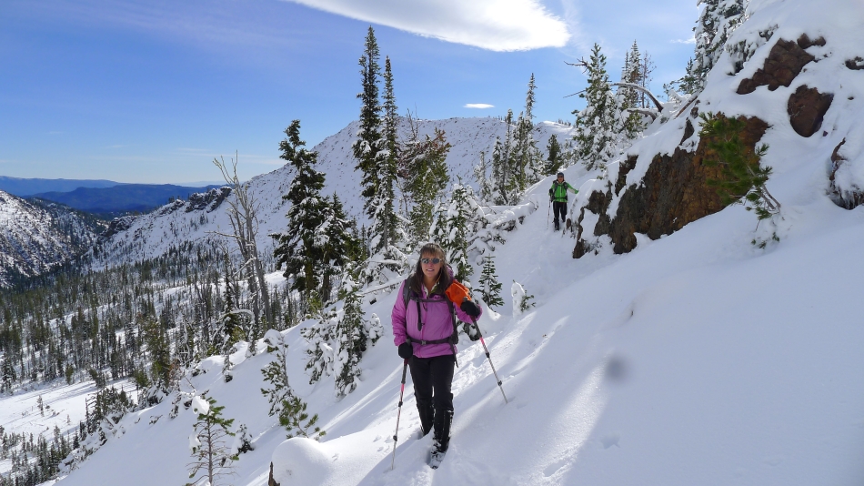
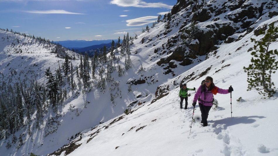
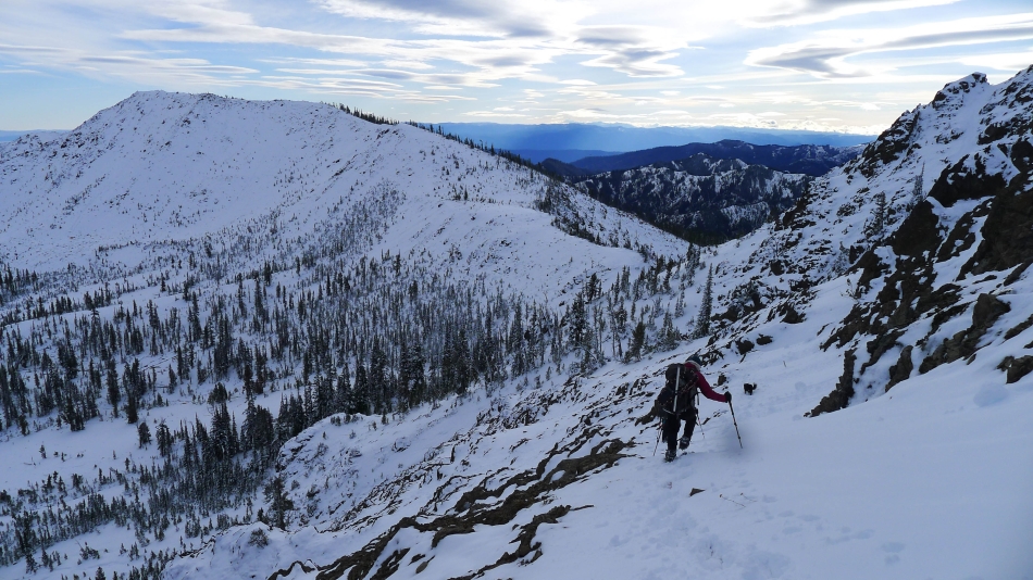
Yoko and Snowdog leave the Iron/Teanaway saddle and start up Teanaway Peak.
|
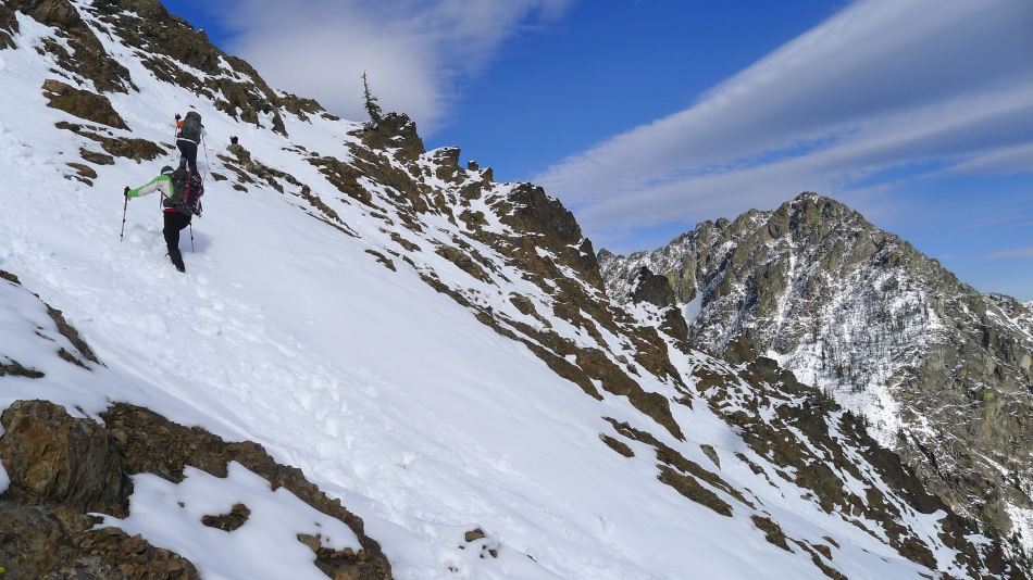
Traversing underneath the cliffy area on the SE side of Teanaway Peak... Iron Peak is behind us.
|
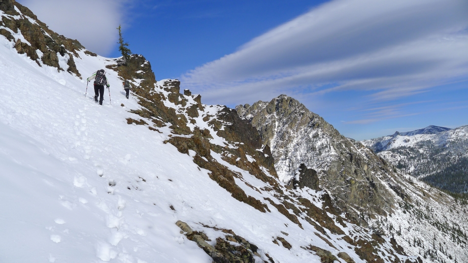
Still traversing underneath the cliffy area on the SE side of Teanaway Peak... the Iron/Teanaway saddle is on the left.
|
On steep terrain... underneath the cliffy area on the SE side of Teanaway Peak... Bills Peak in the foreground... Volcanic Neck and Navaho Peak in the distance on the right.
|
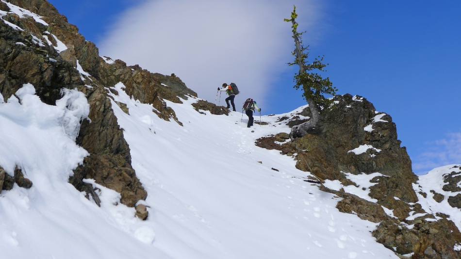
Snowdog and Yoko underneath the cliffy area on the SE side of Teanaway Peak... heading for the lone tree in the distance... Bills Peak on the right.
|
Nearing the lone tree... where we will turn left and find easier terrain.
|
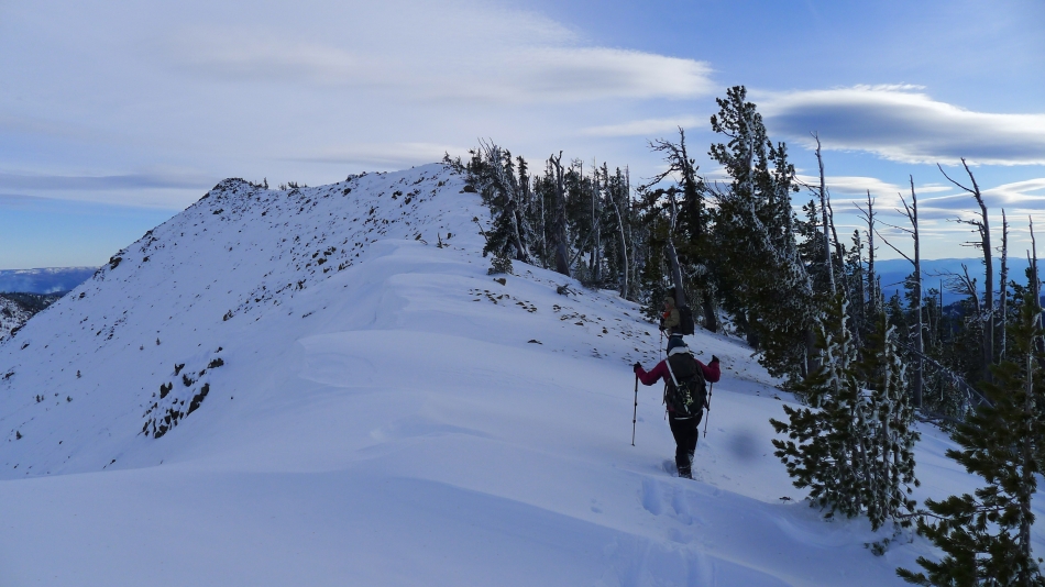
Snowdog and Yoko have reached the lone tree.
|
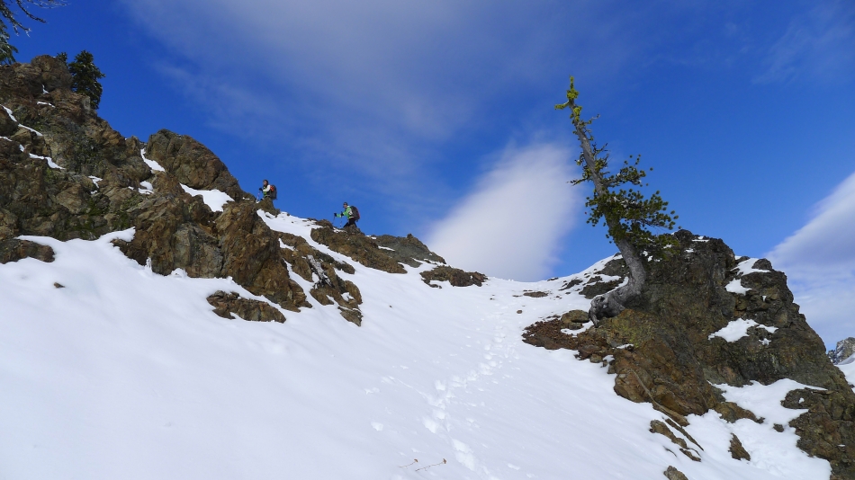
We turned left at the lone tree... and took a more direct line upwards.
|
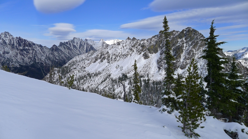
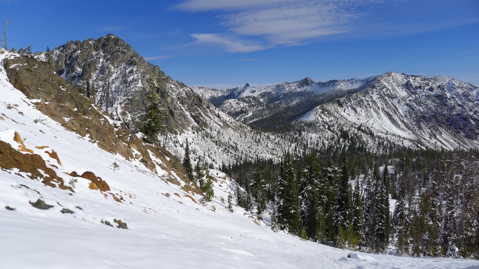
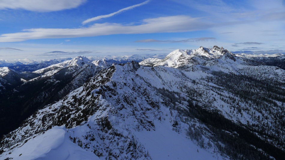
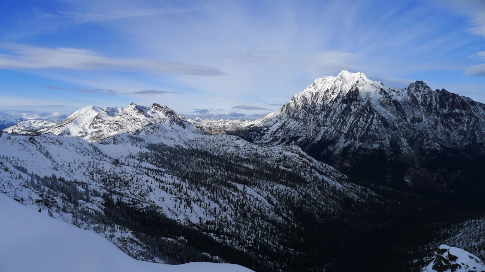
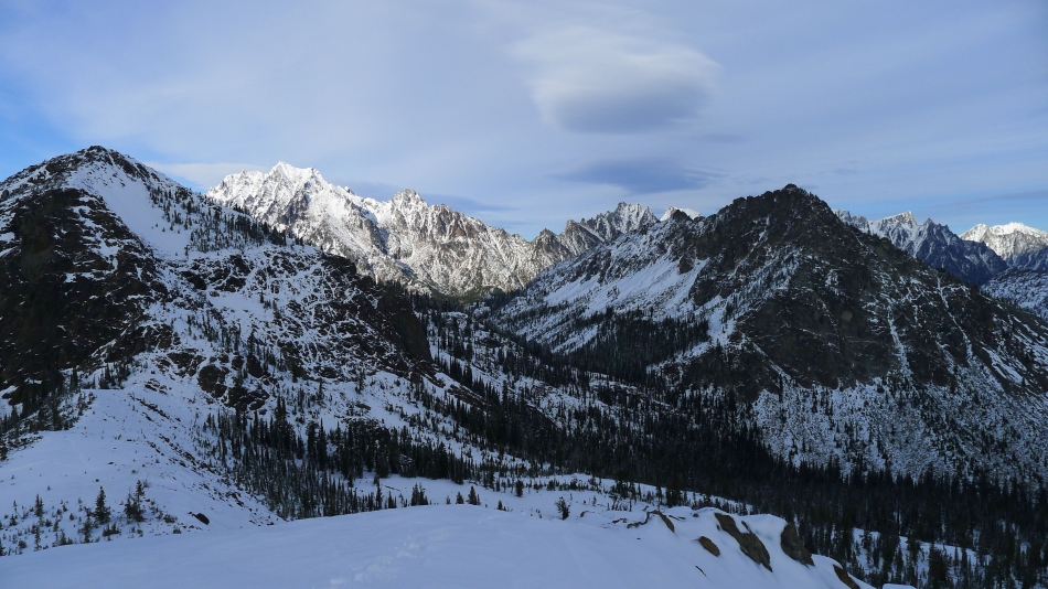
We worked our way over to the east ridge of Teanaway Peak and got our first good look at the Stuart Range.
|
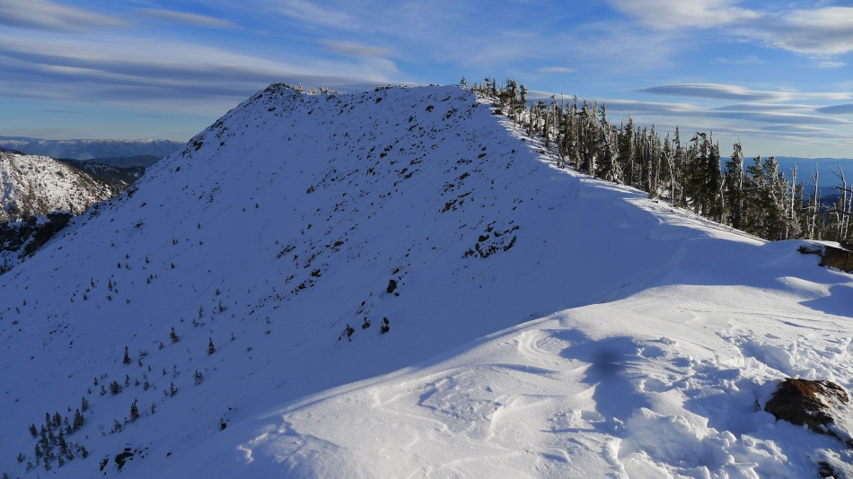
Now we can see the summit of Teanaway Peak.
|

On the east ridge of Teanaway Peak... and watching the flying saucers over the Stuart Range... Bills Peak in the right foreground.
|
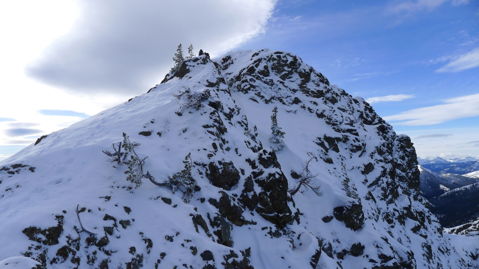
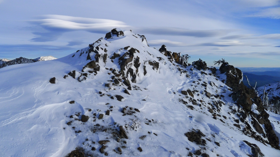
The summit of Teanaway Peak... Snowdog and Yoko are huddled up there by the small tree.
|
I'm on the Teanaway summit watching Snowdog and Yoko put on their micro-spikes before coming up to join me.
|
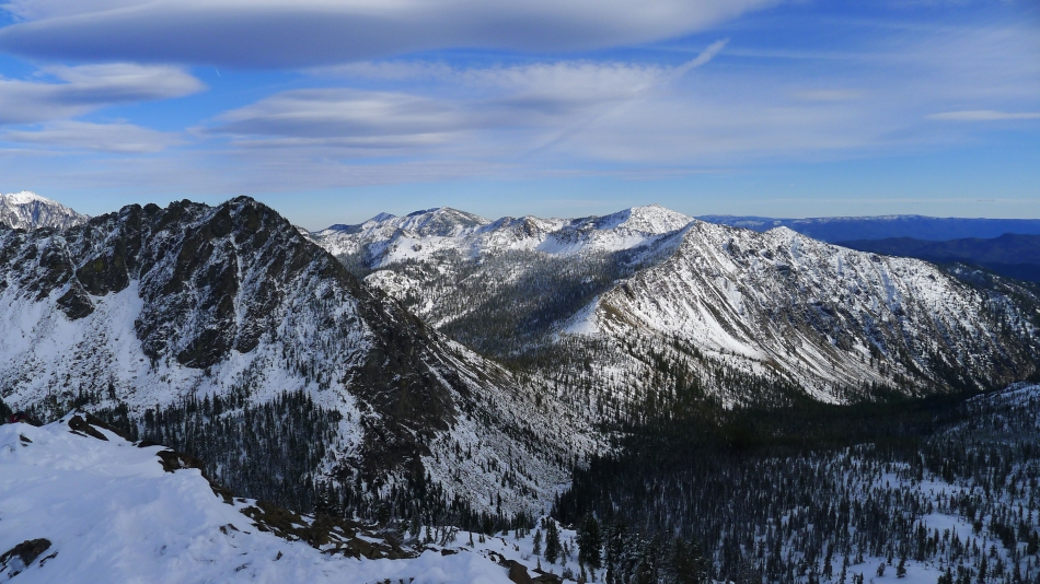
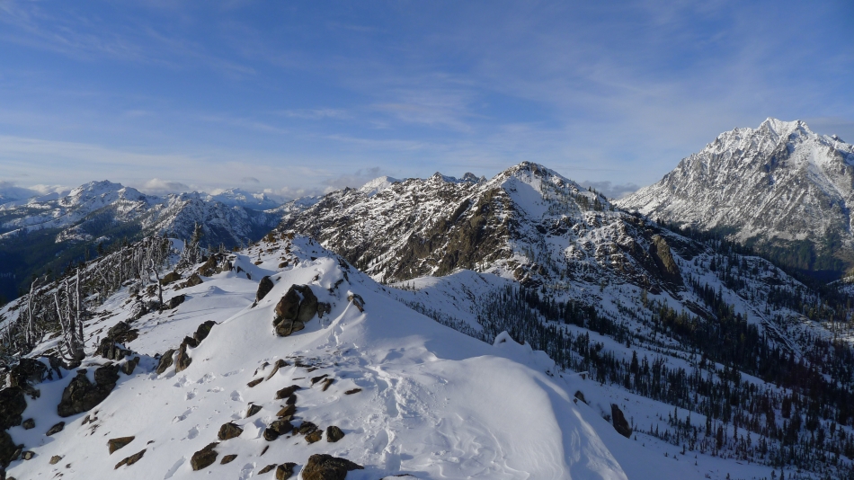
From the Teanaway Peak summit I am looking at Iron Peak on the right... with Earl Peak, Marys Peak and Judis Peak on the left in the sunshine.
|
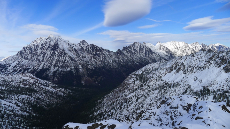
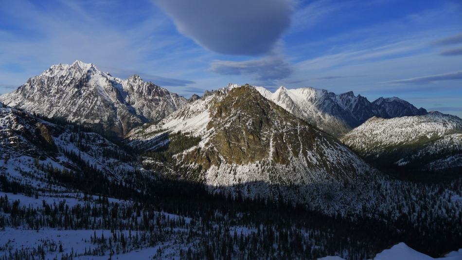
The Stuart Range from Teanaway Peak... Bills Peak in the right foreground.
|
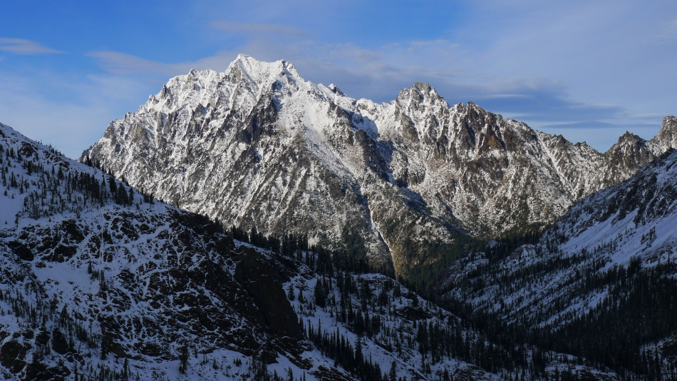
Hawkins Mountain (left)... with Fortune Peak and Ingalls Peak on the right... why is the sunshine over there and not on us.
|
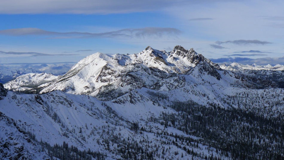
A closer look at Fortune Peak and the three summits of Ingalls Peak.
|
A closer look at Hawkins Mountain and Esmeralda Peak in the center of the photo.
|
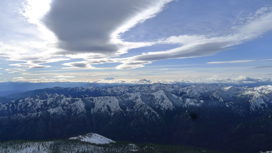
Following the clouds to Mt. Rainier on the horizon.
|
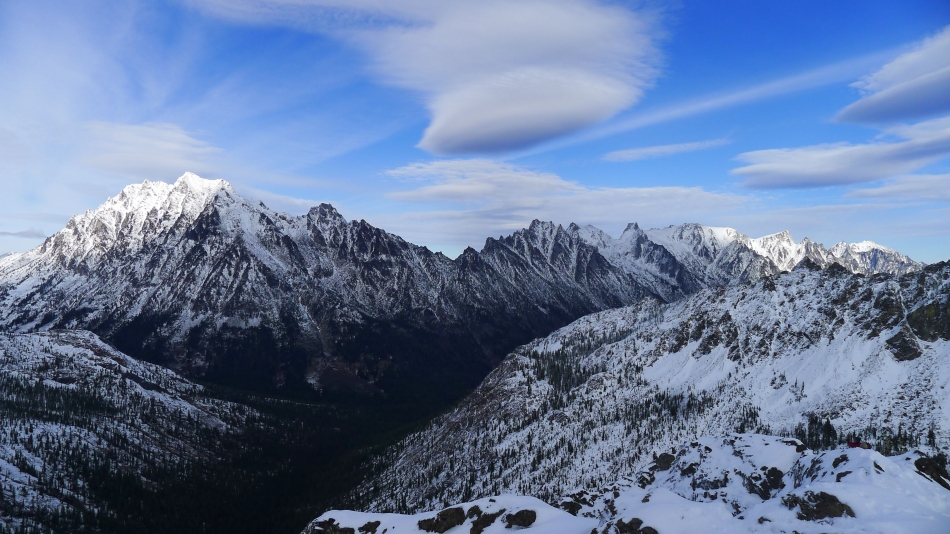
The Stuart Range from Teanaway Peak.
|
Bills Peak in the left foreground... with sunshine on Three Brothers, Navaho, Earl, Marys and Judis.
|
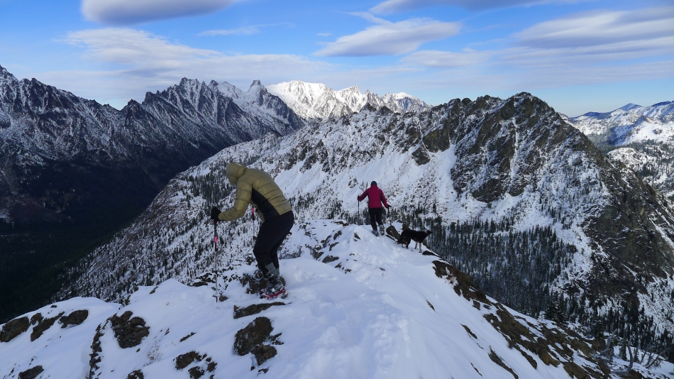
Snowdog, Yoko and Izzy leave the Teanaway Peak summit.
|
Heading down... we will follow our tracks back to the Iron/Teanaway saddle.
|
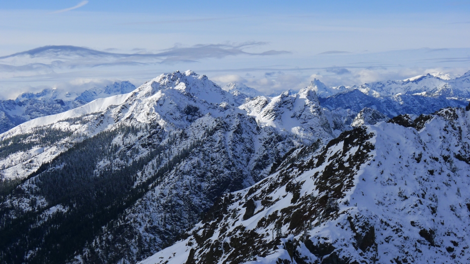
Looking back at Fortune Peak and Ingalls Peak on the left... with Mt. Stuart and Sherpa Peak on the right.
|
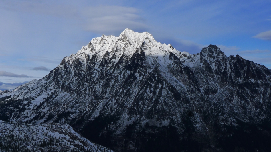
Sunshine on the top of Mt. Stuart.
|
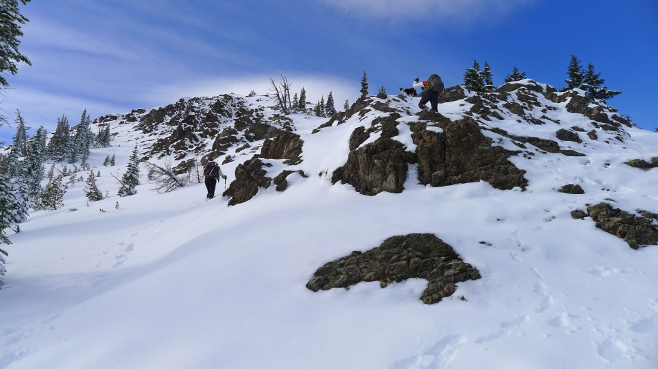
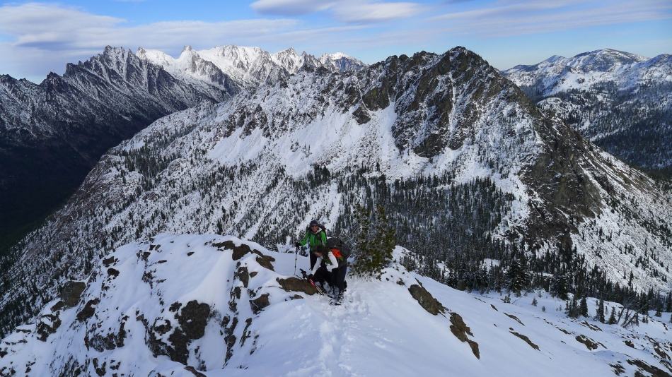
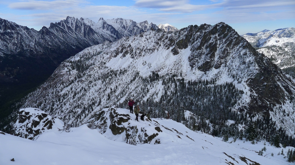
Yoko and Snowdog near the lone tree... where we will turn to the right and follow our tracks back to the Iron/Teanaway saddle... Earl Peak, Marys Peak and Judis Peak on the left... with Iron Peak on the right.
|
Following our tracks underneath the cliffy area on the SE side of Teanaway Peak... heading for the Iron/Teanaway saddle in the center of the photo.
|
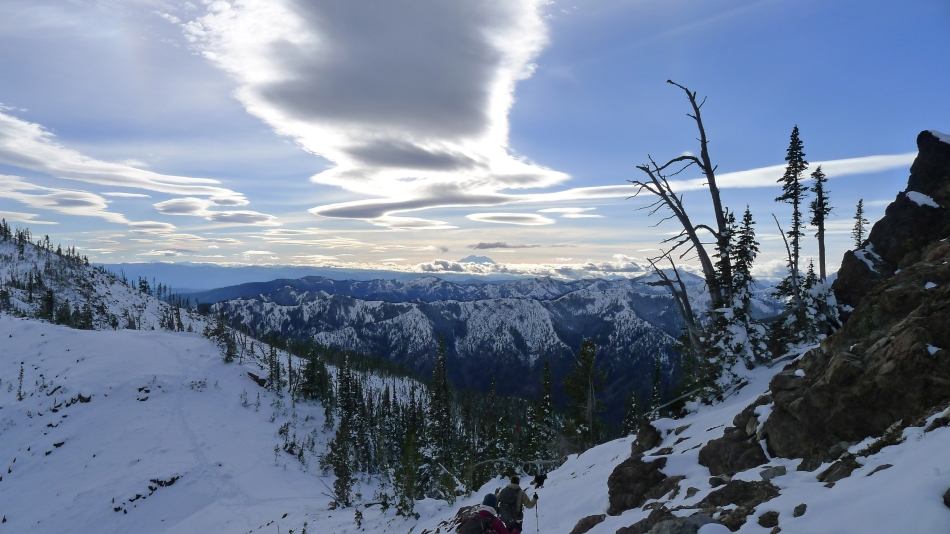
Almost back to the Iron/Teanaway saddle... follow the clouds to Mt. Rainier on the horizon.
|
We are well on our way to the summit of Iron Peak... looking back at the Iron/Teanaway saddle on the far left... Teanaway Peak in the left foreground... Bills Peak in the right foreground... with Mt. Stuart, Sherpa Peak and Argonaut Peak between them.
|
Snowdog and Yoko heading for the Iron Peak summit.
|
Mt. Stuart and Sherpa Peak in the sunshine.
|
Nearing the Iron Peak summit (6510').
|
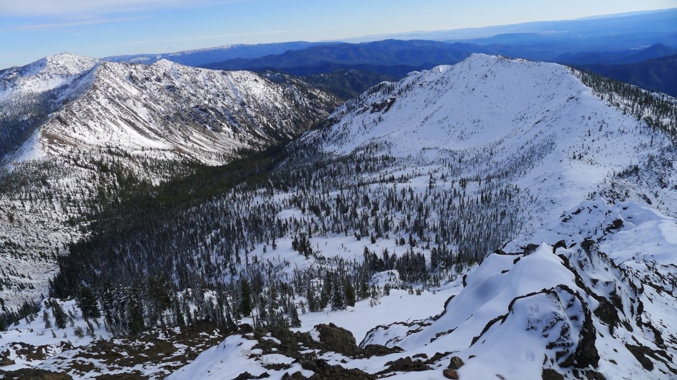
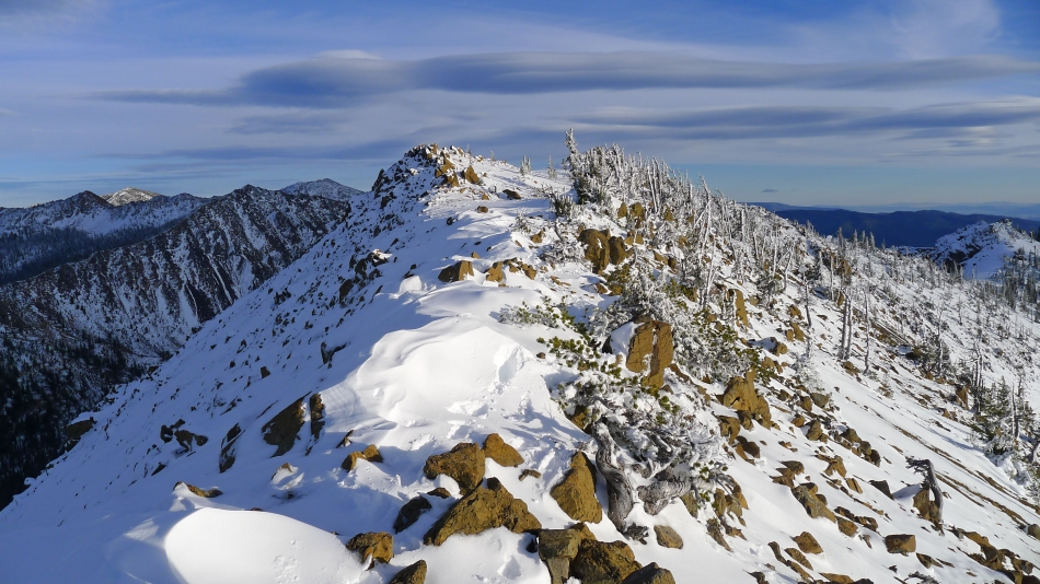
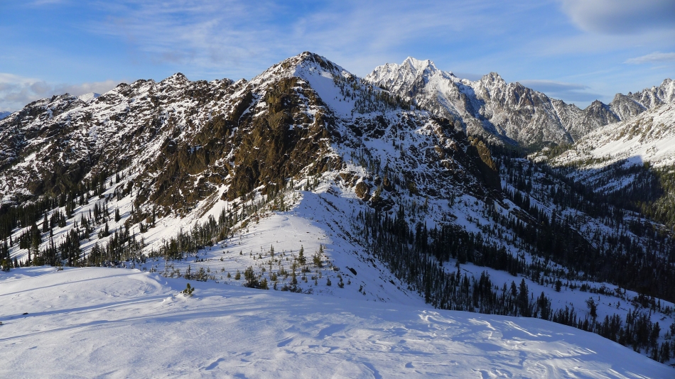
Teanaway Peak in the center of the photo... and the ridge walk we made to reach the Iron Peak summit.
|
The Stuart Range from Iron Peak... with Bills Peak in the center foreground.
|
Sunshine appears on the Iron Peak summit just as we decide to head back down to the Iron/Teanaway saddle.
|
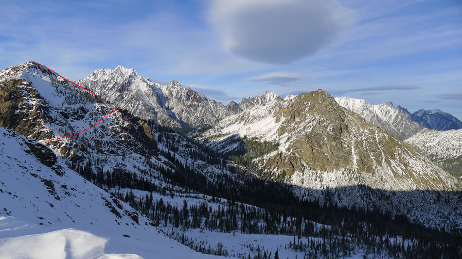
Heading back to the Iron/Teanaway saddle... and the approximate route we used earlier in the day to reach the summit of Teanaway Peak.
|
It is getting late in the day... and the sunshine finally makes an appearance... looking down to the Iron/Teanaway saddle... with Teanaway Peak in the center foreground.
|
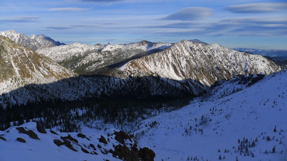
Some of the Stuart Range on the far left... with Marys Peak and Judis Peak in the right foreground.
|
Back at the Iron/Teanaway saddle and a last look at the ridge walk that took us to the Iron Peak summit... leaving more than a 2 mile hike to race darkness back to our car.
|
