Point 4712 - 11.20.2015
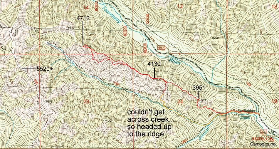
A photo of the GPS track of our trip to Point 4712 on the ridge between the N. Fork Teanaway River and the N. Fork of Johnson Creek... 5.35 miles roundtrip, gaining 2136 feet of elevation.
|
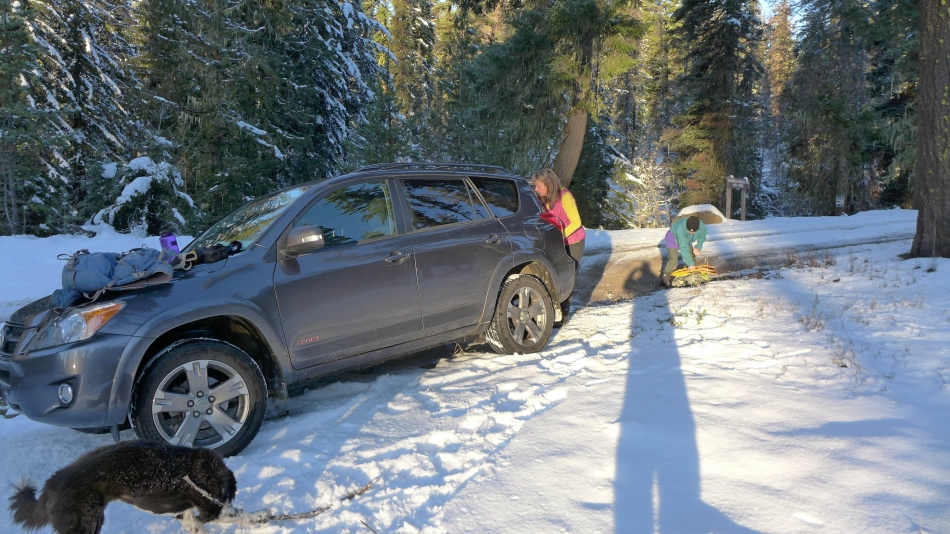
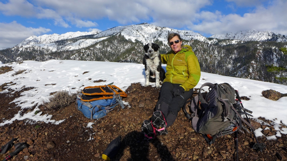
We drove the N. Fork Teanaway River Road (aka FS-9737) for 4.3 miles beyond 29 Pines Campground and parked (~3130') a quarter-mile beyond Beverly Campground on the side of the road... you can see the Johnson Medra Trailhead sign on the other side of the road.
|
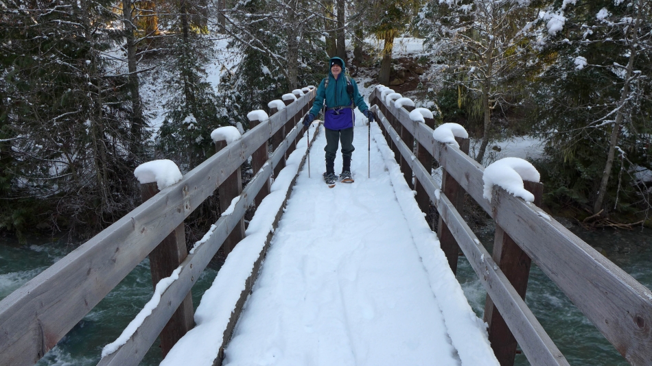
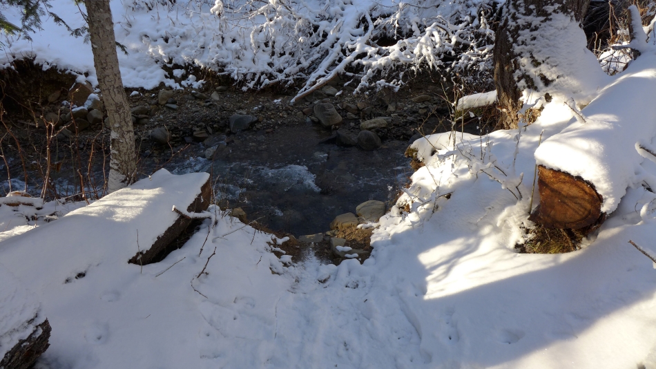
We crossed the N. Fork Teanaway River after hiking 50 steps.
|
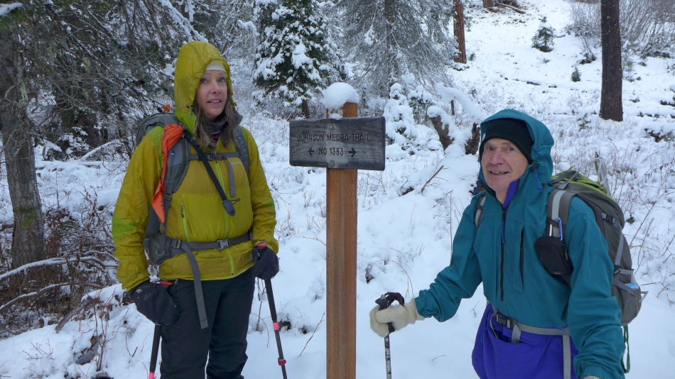
After hiking .75 miles we reached a junction with the Jungle Creek Trail which crosses Johnson Creek and heads up toward Johnson Mountain... but we will continue on the Johnson Medra Trail and follow it along the N. Fork of Johnson Creek.
|
A half mile beyond the junction with the Jungle Creek Trail the Johnson Medra Trail crosses the creek... and the Topo Map shows the trail crossing and recrossing the trail several times as it continues on up valley.
|
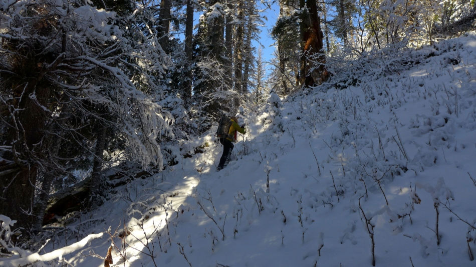
Not wanting to spend a lot of time on creek crossings we opted to head up to the ridge between the N. Fork Teanaway River and the north fork of Johnson Creek.
|
Heading for the ridge between the N. Fork Teanaway River and the north fork of Johnson Creek.
|
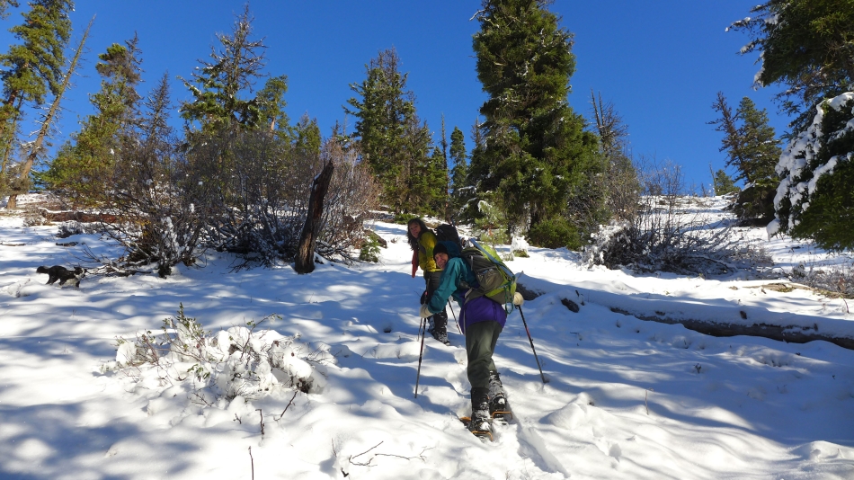
Snowdog and rodman coming up to the ridge between the N. Fork Teanaway River and the north fork of Johnson Creek.
|
Almost on the ridge now... looking across the valley to Point 5520+.
|
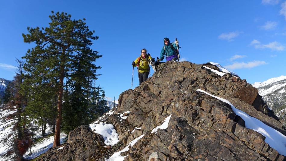
Izzy is always out front... showing us the way.
|
Izzy poses in front of Iron Peak... Marys and Judis on the far right... Fortune and Ingalls on the far left.
|
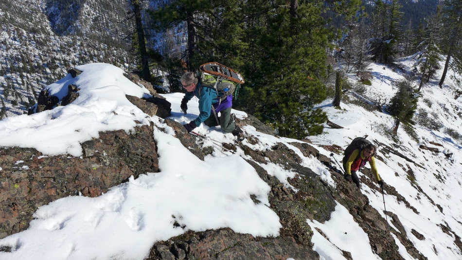
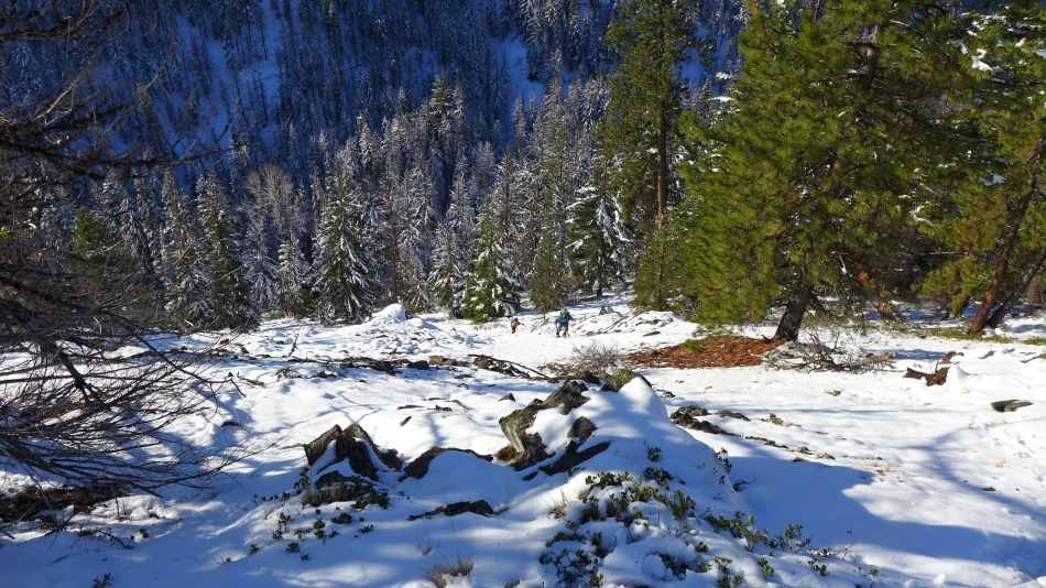
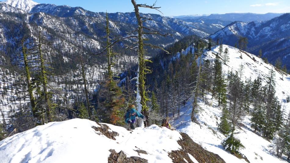
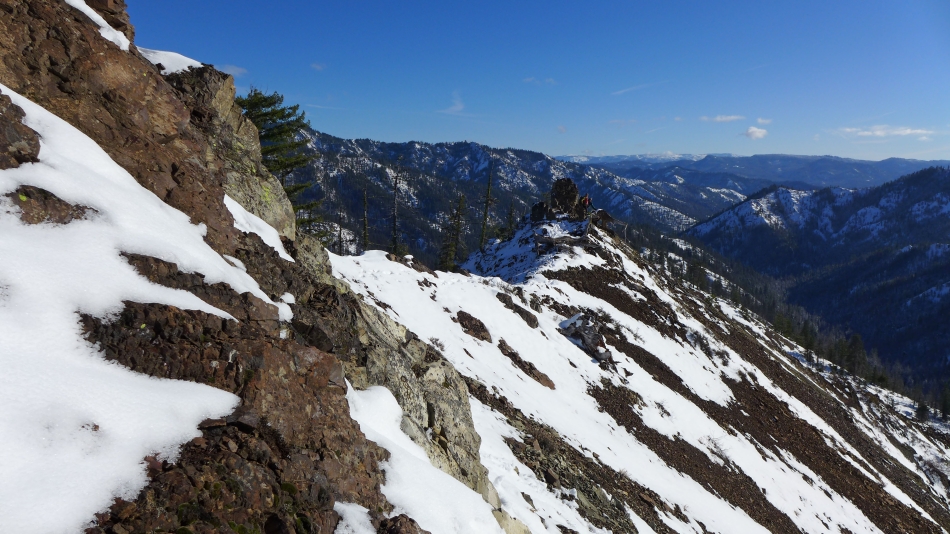
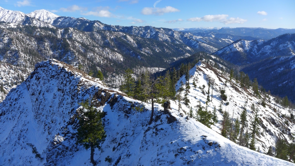
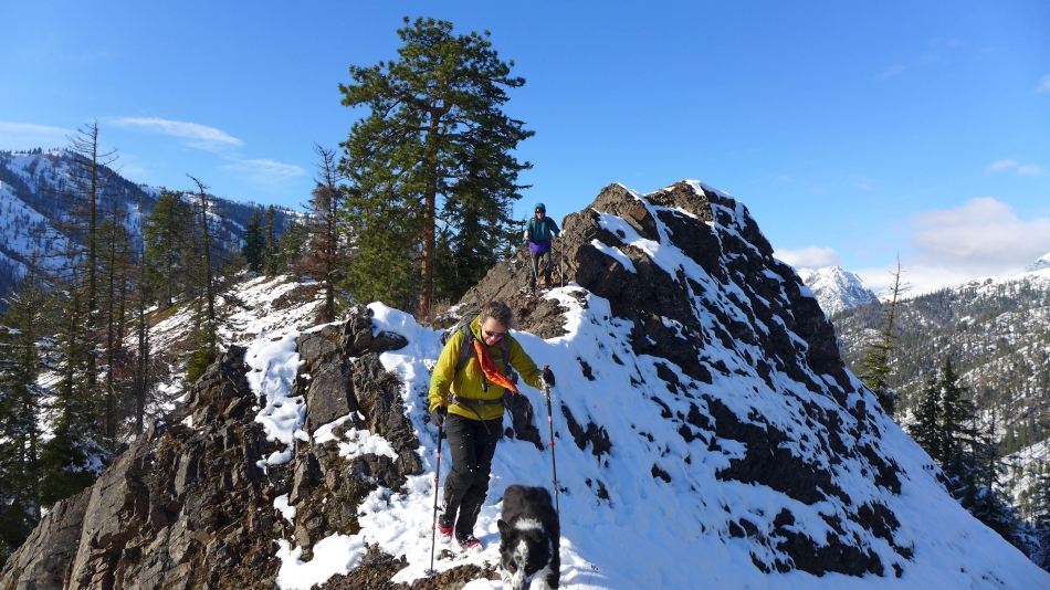
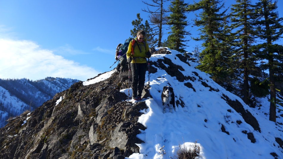
The ridge was more difficult than we had expected... with lots of ups and downs on slippery terrain.
|
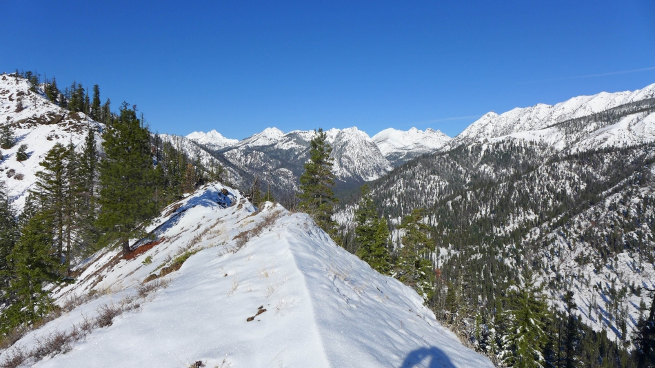
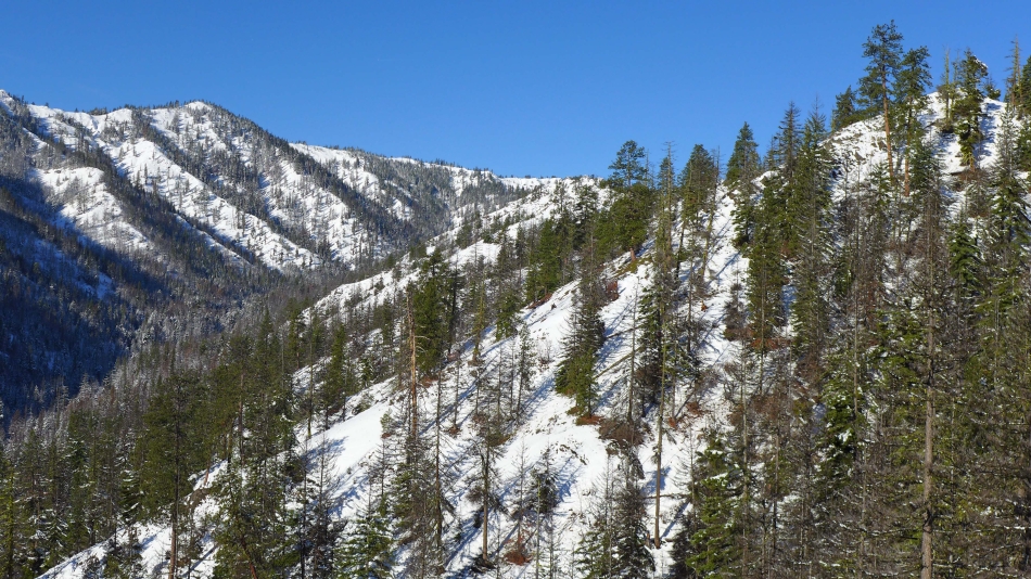
On the ridge... looking up valley to Hawkins Mountain, Esmeralda, Fortune and Ingalls.
|
Continuing up the ridge... looking down the N. Fork Teanaway River drainage... with Table Mountain on the horizon.
|
Continuing along the ridge... Hawkins Mountain in the distance on the far right... it is obvious that we will not reach our planned destination of Point 5520+ across the valley on the far left.
|
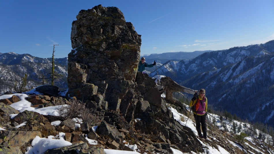
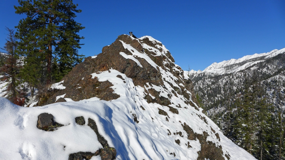
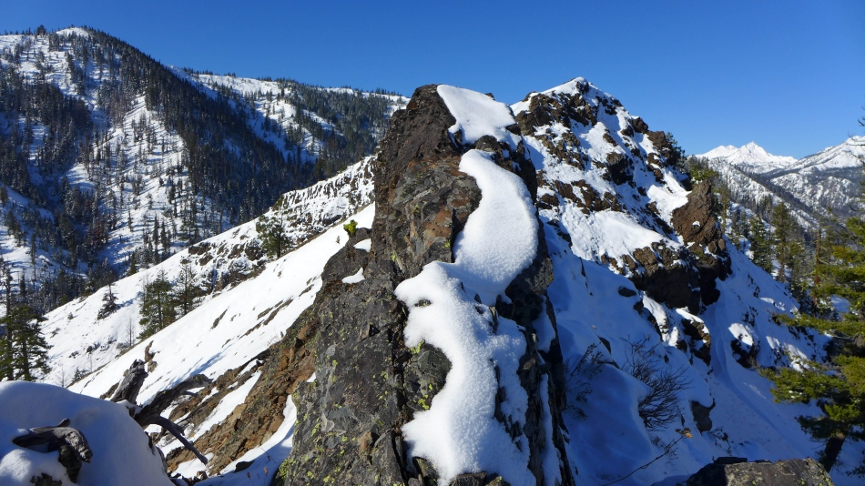
rodman and Snowdog passing by one of the monoliths on the ridge.
|
I'm going to continue on over and see if I can find a good route around or over this obstacle... again, the light snow cover makes this a lot more challenging.
|
Looking back at rodman and Snowdog while they watch me trying to find a route along the ridge.
|
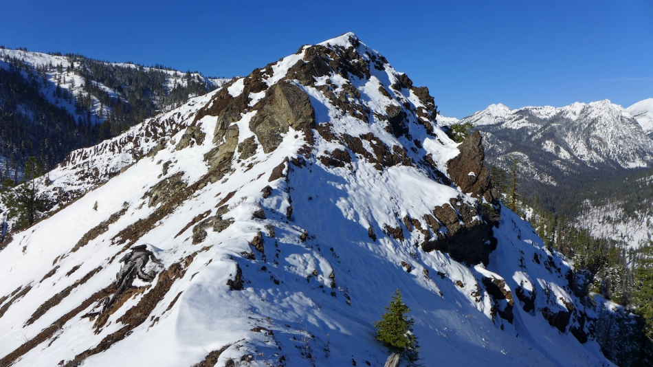
Now we can see Point 4712... with Hawkins, Esmeralda, Fortune and Ingalls up valley.
|
Point 4712 is in the foreground... with Point 5520+ across the valley... the ridge on the other side of the valley looks a lot more friendly than the one we are on.
|
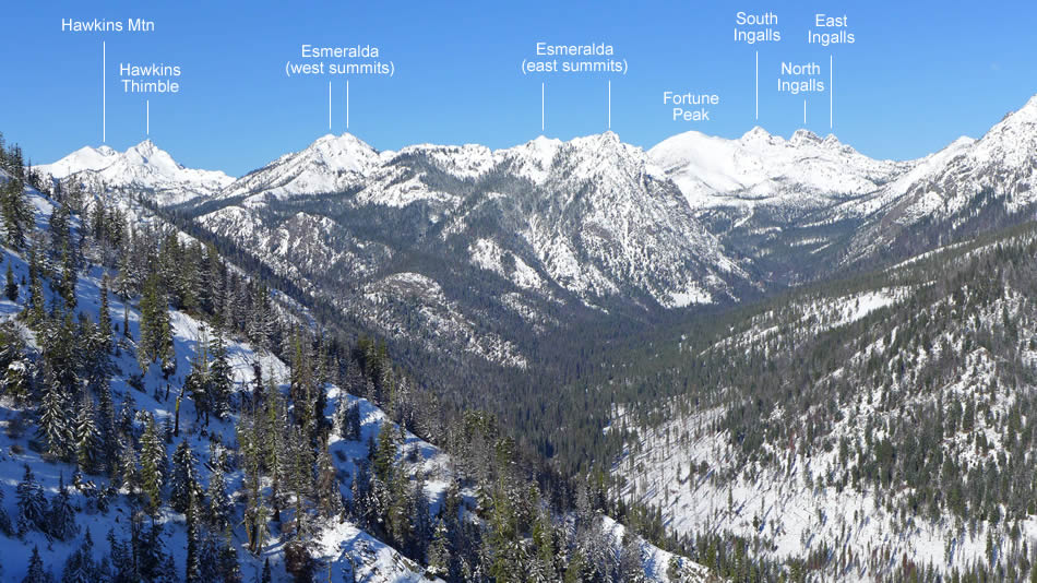
Peak identification from Point 4712.
|
A pano shot from Point 4712... Hawkins, Esmeralda, Fortune and Ingalls on the left... Teanaway Peak and Iron Peak in the center... with Marys, Judis and Earl on the right.
|
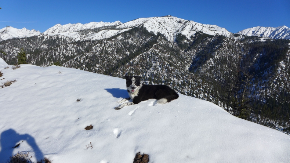
On Point 4712 and looking down the ridge that we just traveled... Earl Peak on the far left... with Table Mountain on the horizon.
|
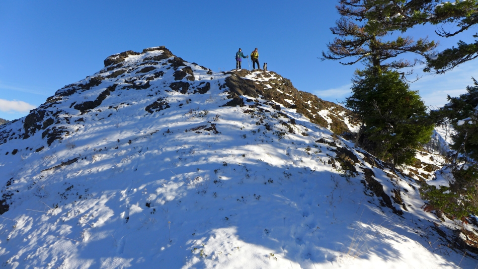
Looking back at Point 4712 which ended up being our high point for the day.
|
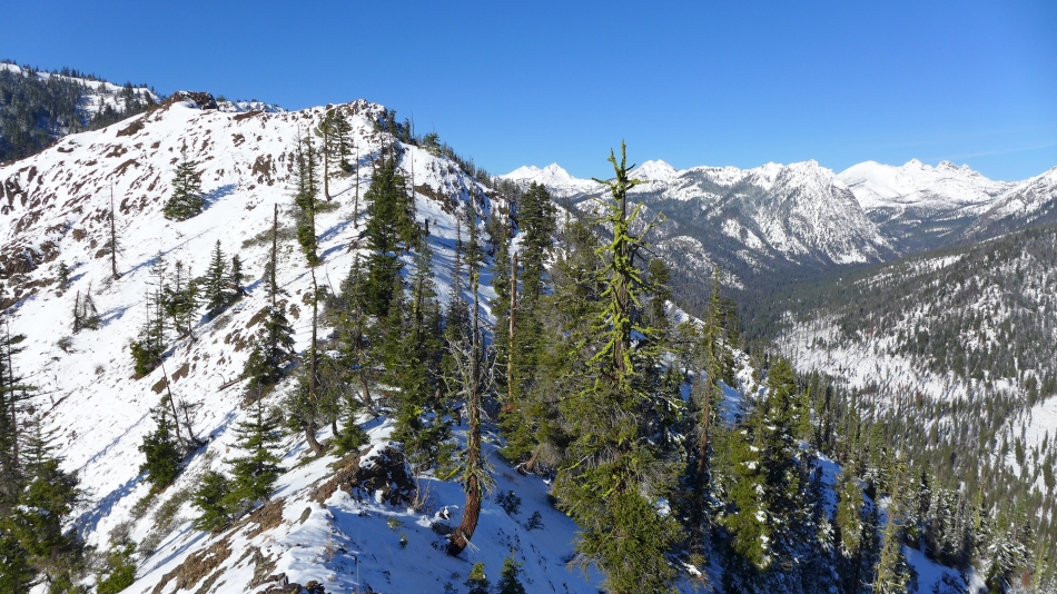
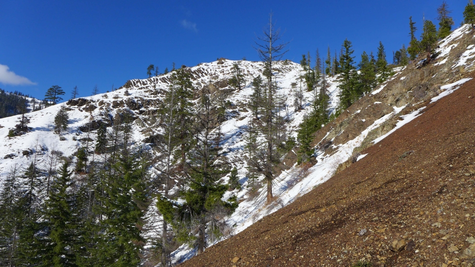
On our return we chose to follow a game trail and avoid some of the steeper sections on the ridge.
|
We rejoined the ridge at ~4200 feet... clouds are forming.
|
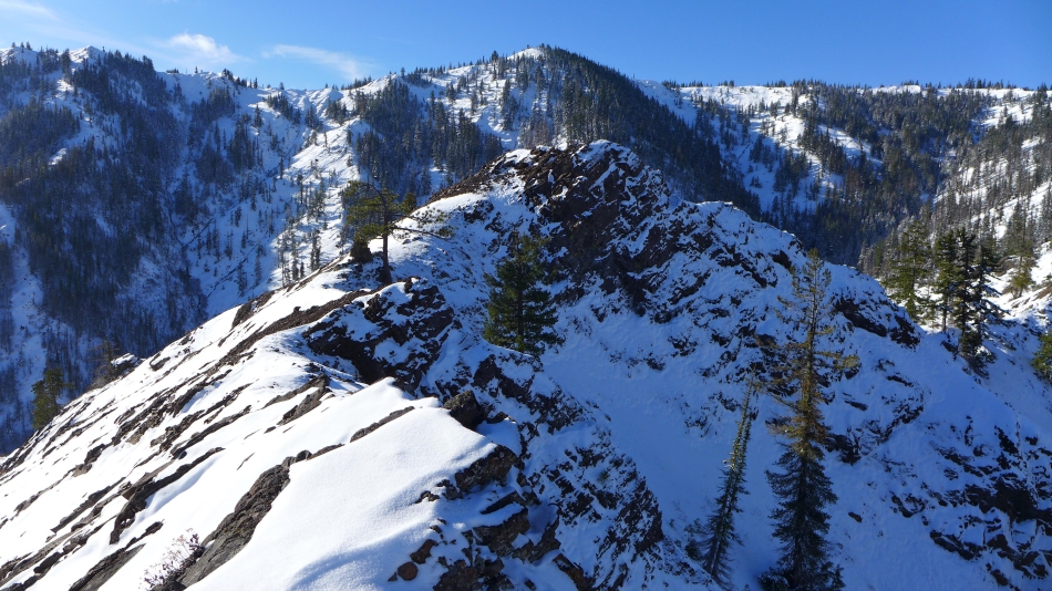
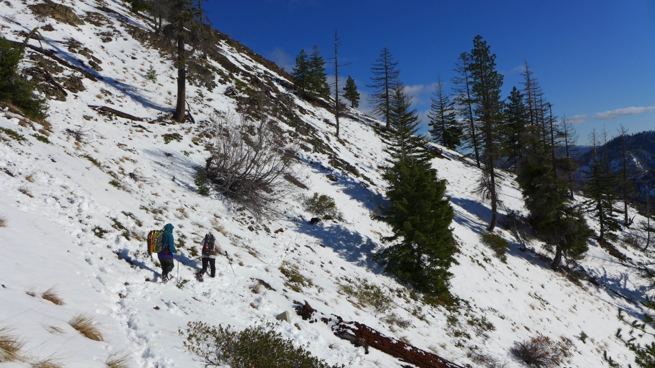
We decided to take a slightly different route back down to Johnson Creek... opting to stay on the ridge as long as we could.
|
Having fun on the Johnson Medra Ridge.
|
rodman, Snowdog and Izzy near Point 3951.
|
Just beyond Point 3951 we left the ridge and worked our way down to the Johnson Medra Trail... leaving a third-of-a-mile hike back to our car.
|
