White Bluffs (North Slope) - 12.15.2015
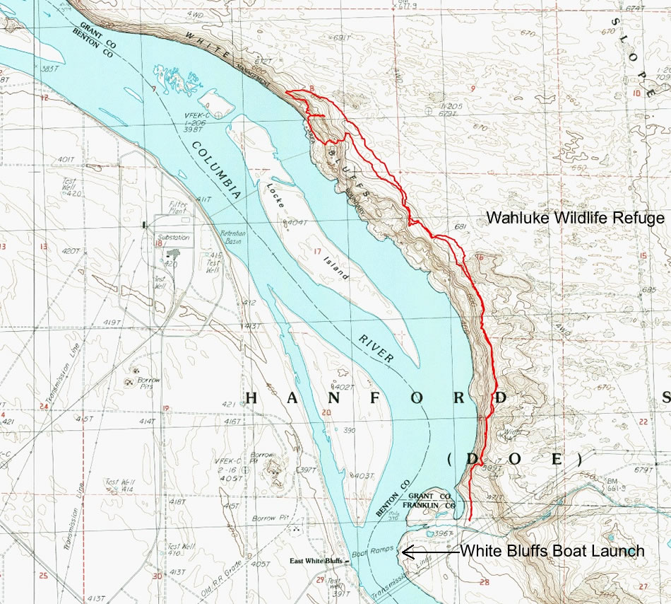
A photo of the GPS track for our hike above the White Bluffs near the town of Mattawa, Washington... 7.6 miles roundtrip, gaining 989 feet of elevation.
|
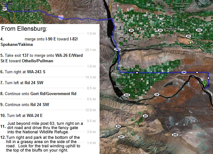
From Ellensburg... drive east on I-90 and cross the Columbia River... take Exit 137 and drive WA-26E for 1 mile... turn right onto WA-243S and drive 14.3 miles... turn left onto Road 24 SW and drive 13.8 miles... turn left onto WA-24E and drive 9.5 miles... then see next map.
|
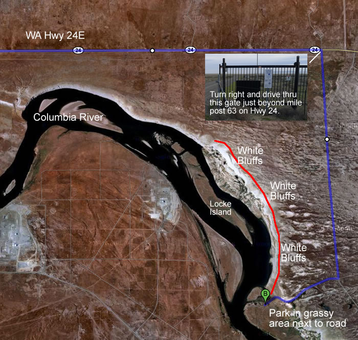
Just beyond Mile Post 63 on WA-24E... turn right, drive thru the fancy gate, and drive 3.9 miles on a gravel road... turn right and drive 1.4 miles... watch for the trail on your right, leading uphill towards the top of the bluffs... park in a grassy area next to the road.
|
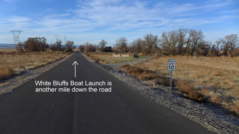
The trailhead is not really signed for this hike... just park in the grassy area about a mile before you reach the boat launch at the end of the road.
|
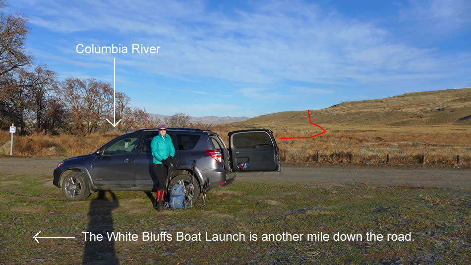
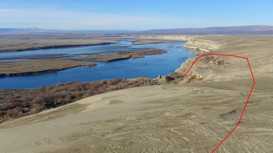
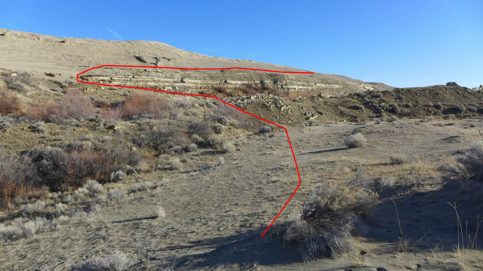
The red line highlights the obvious path that leads up above the white bluffs.
|
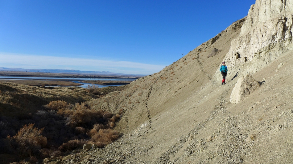
Working our way up to the top of the white bluffs.
|

Still gaining elevation.
|
The trail levels out some and continues above the bluffs.
|
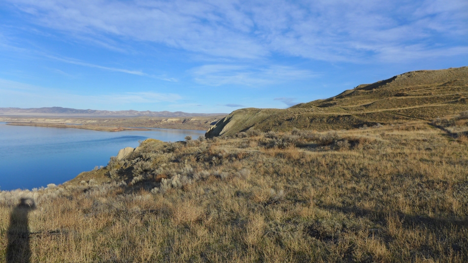
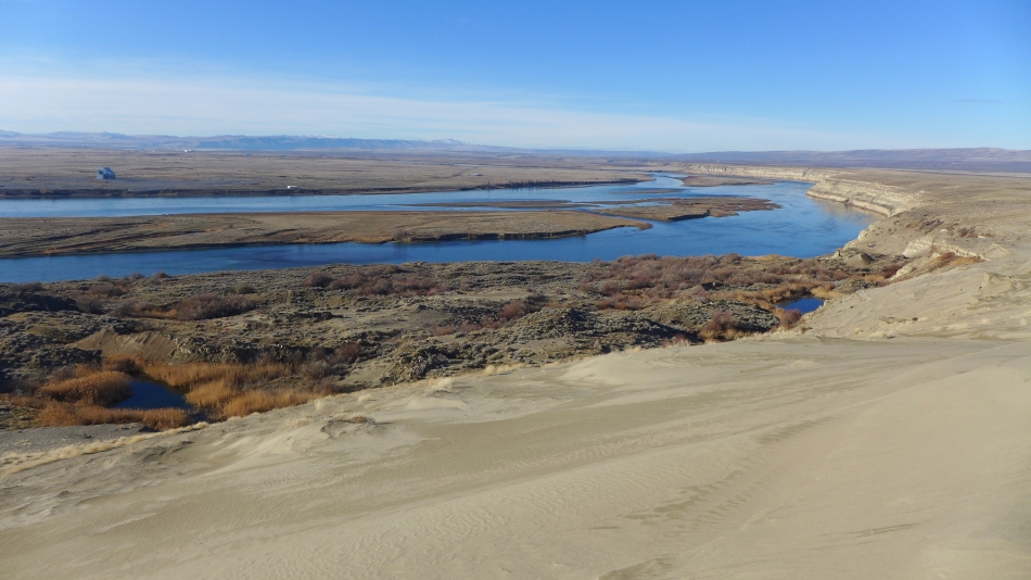
Locke Island is in the middle of the Columbia River.
|
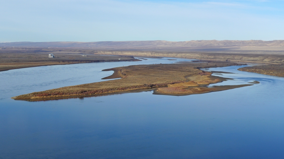
A closer look at Locke Island from the white bluffs.
|
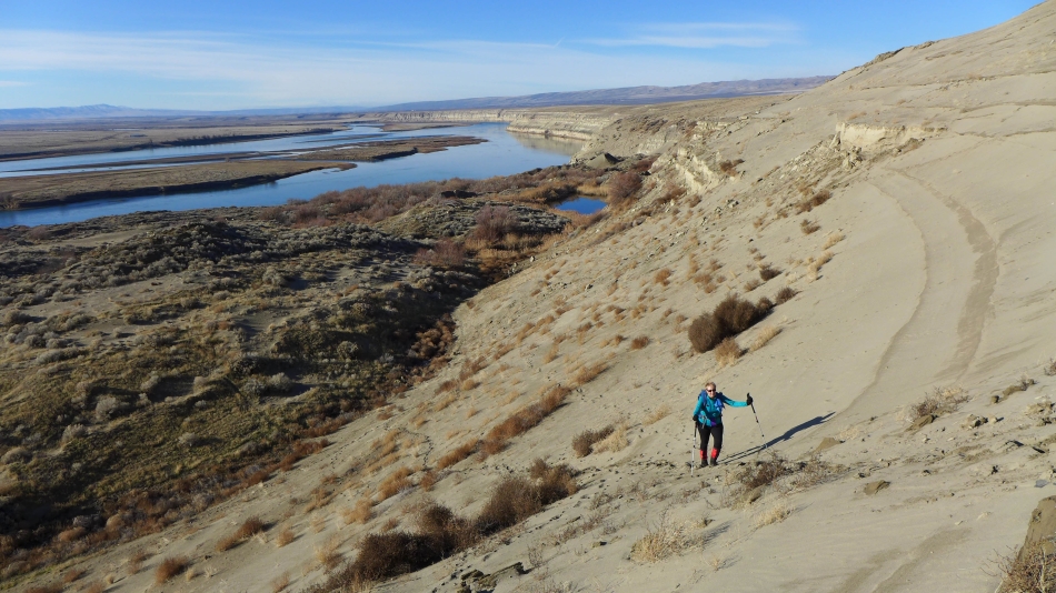
We will head for the sand dunes on the right.
|
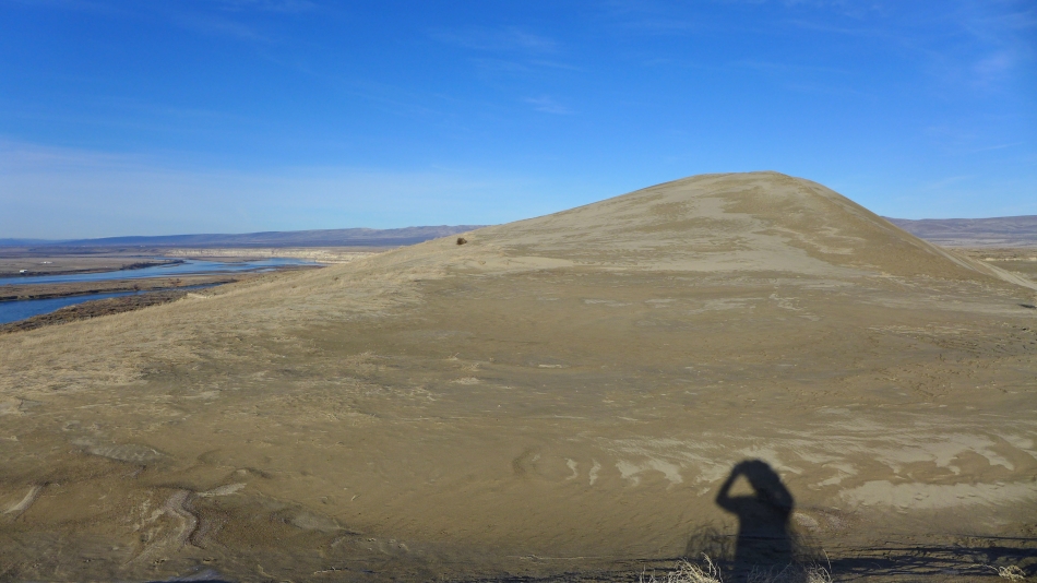
Hiking along the sand dunes.
|
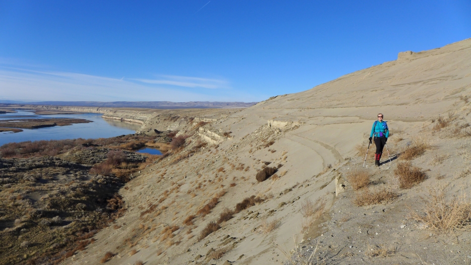
Hiking on the sand dunes.
|
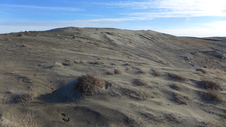
Denali Girl continues along the sand dunes.
|
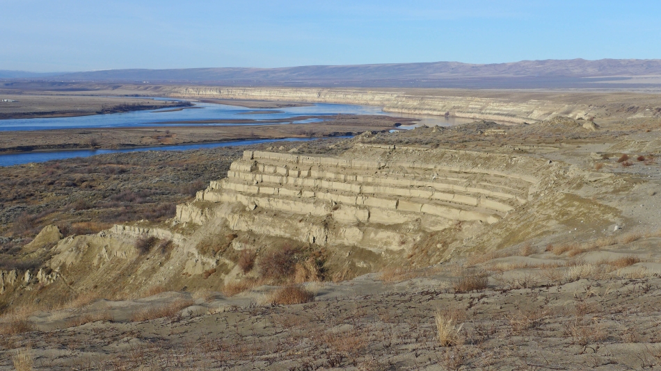
Love the wind and water sculpture on the bluffs.
|
Continuing along the sand dunes.
|
Looking back on our route.
|
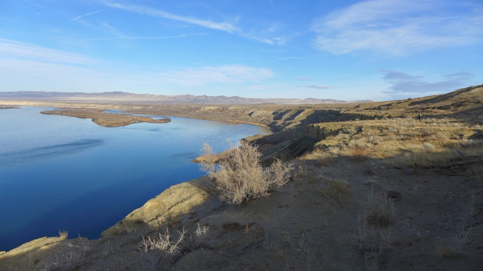
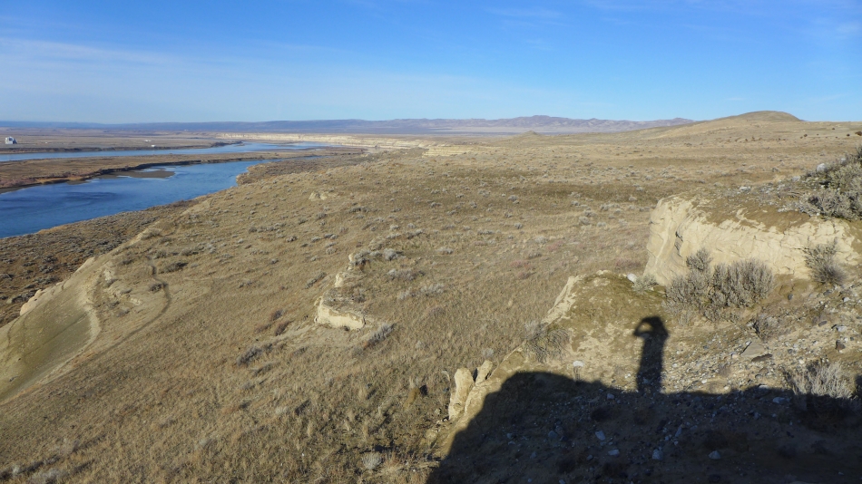
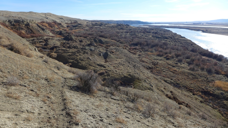
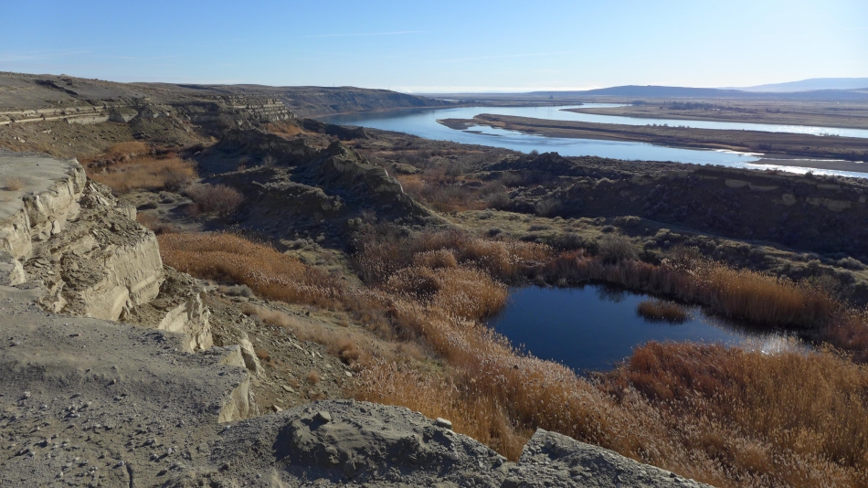
Interesting wetlands on the shelf between the river and the bluffs.
|
We will continue above the bluffs and take an obvious path down to the wetlands.
|
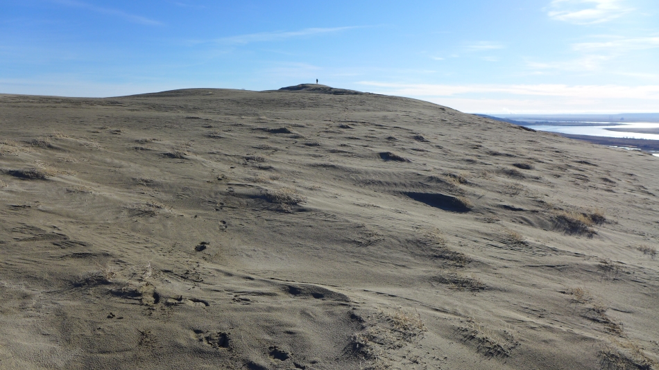
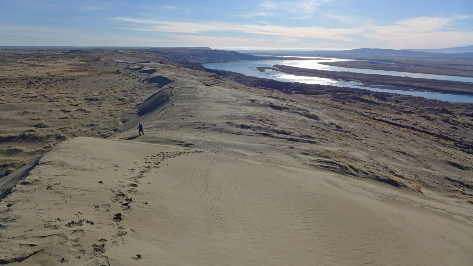
Looking back at Denali Girl on the sand dunes.
|
Heading down from the top of the bluffs to the wetlands.
|
There is a good path down to the wetlands.
|
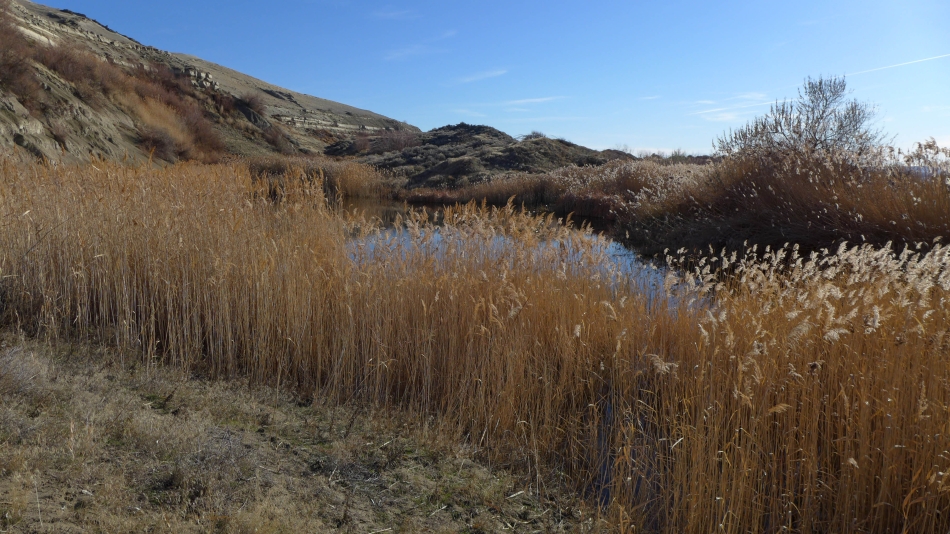
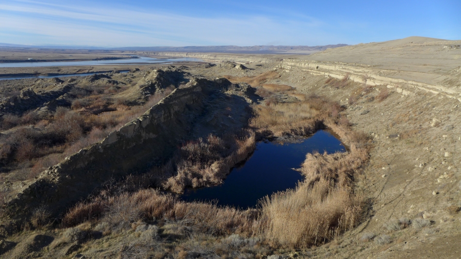
There are several ponds in the wetlands... and lots of pampas grass.
|
Denali Girl hiking in the wetlands.
|
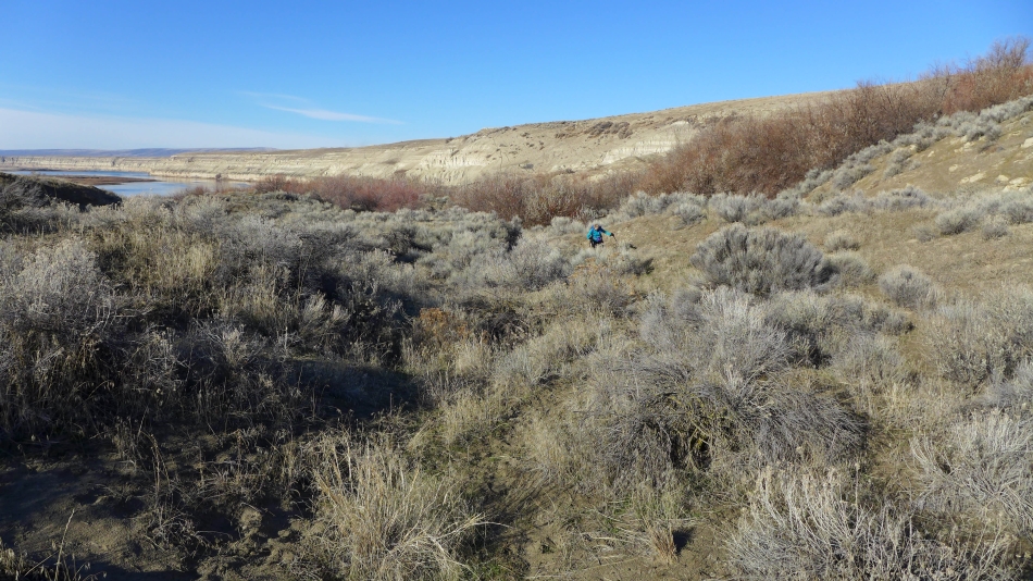
It was very muddy in the wetlands... so we decided to find a route back up to the top of the bluffs.
|
There are lots of paths back up to the top of the bluffs.
|
Denali Girl coming up from the wetlands.
|
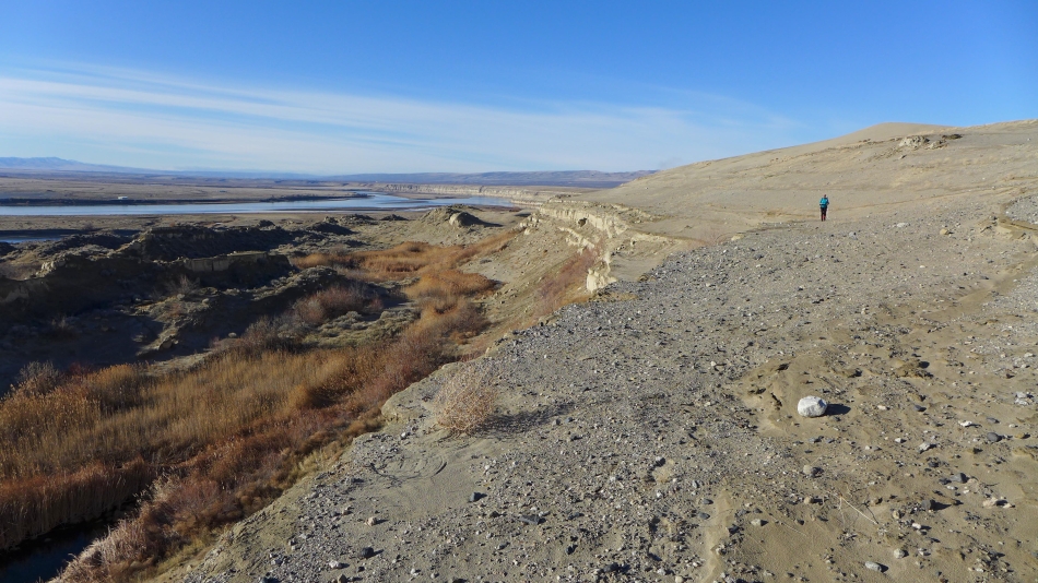
Hiking along the white bluffs below the sand dunes.
|
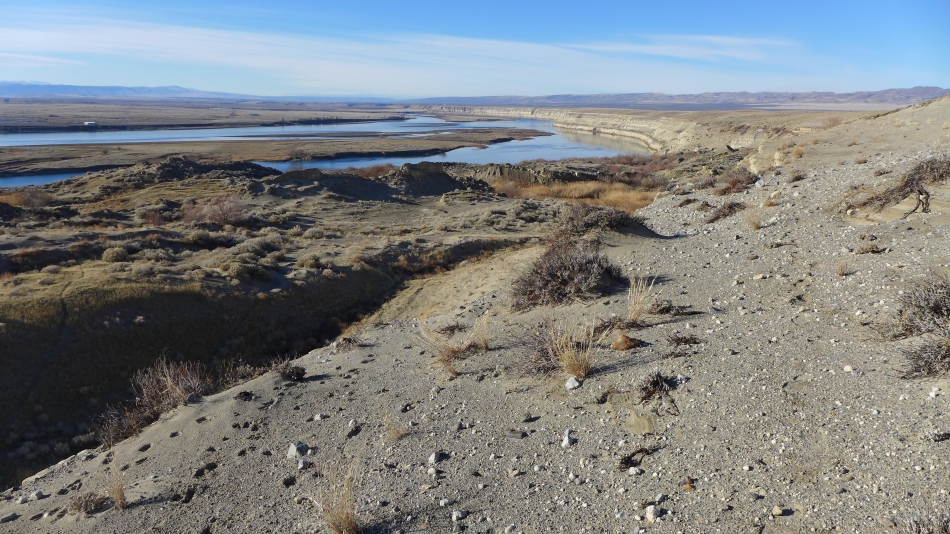
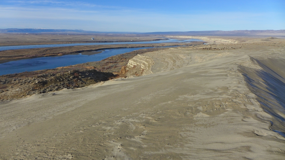
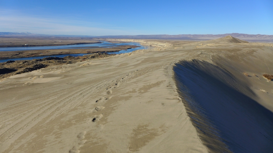
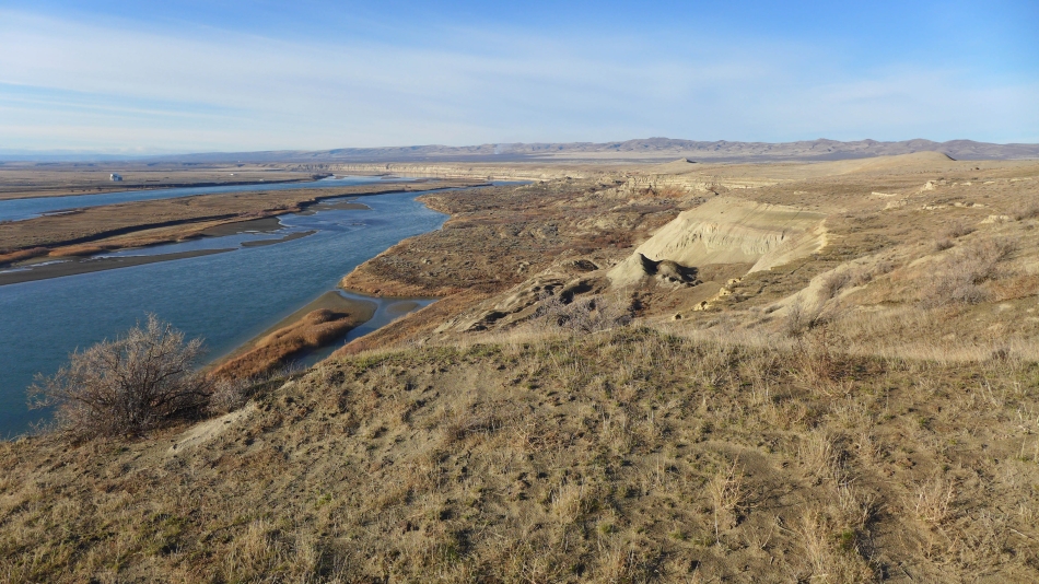
River, wetlands and sand.
|
Working our way back to the car.
|
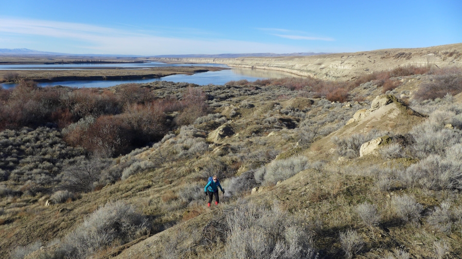
On a shelf between the wetlands and sand dunes.
|
We have closed the loop portion of the hike and are about a mile from the car.
|
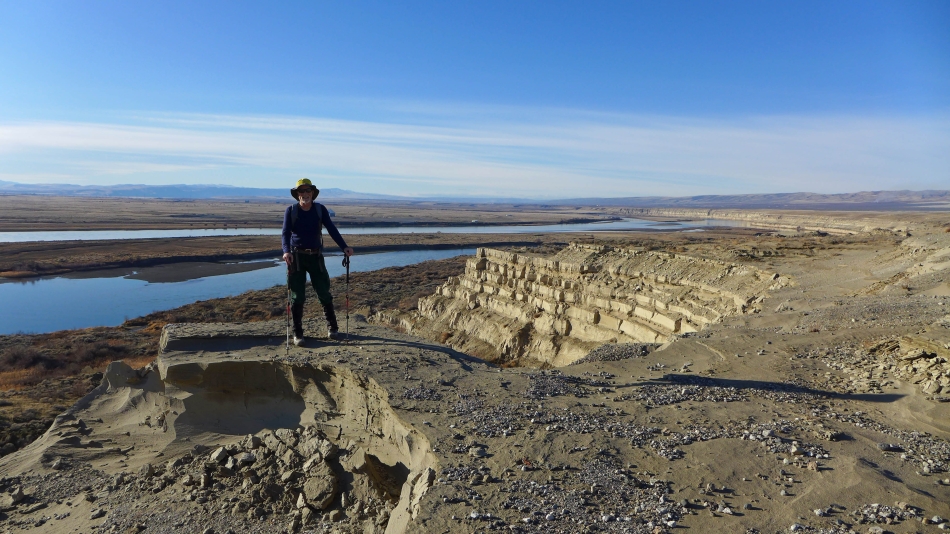
Posing on the white bluffs.
|
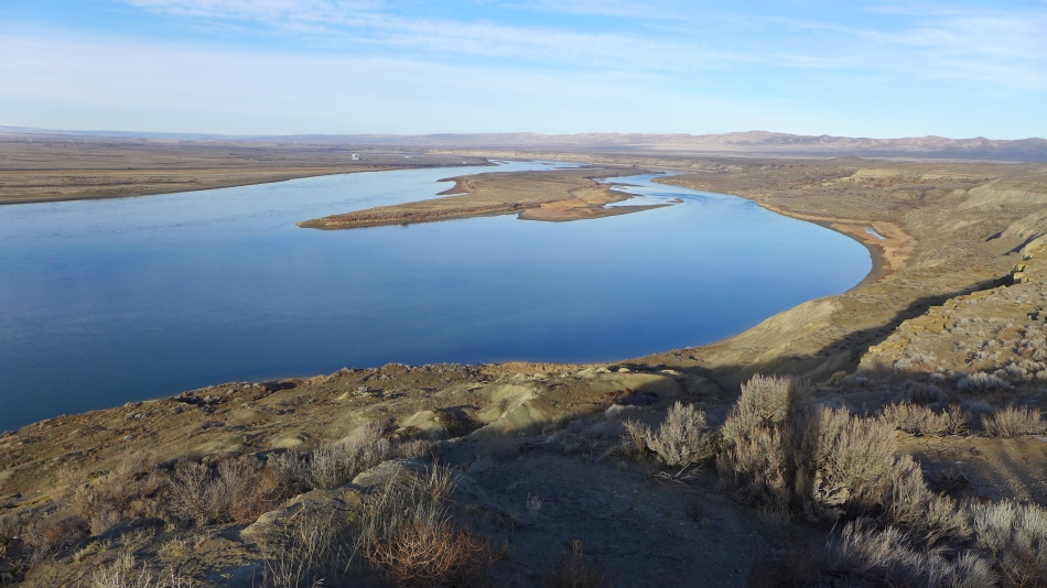
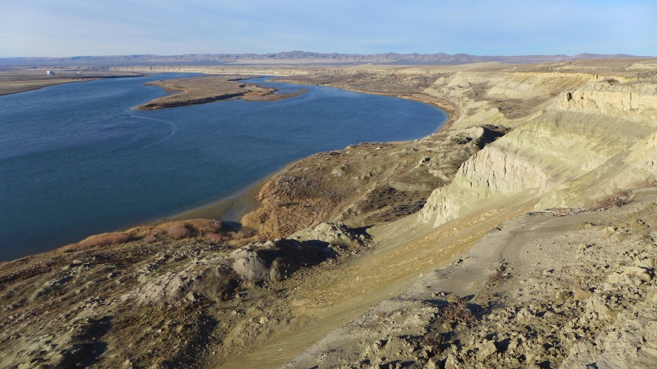
A good look at the wetlands... with the sand dunes on the right.
|
Columbia River, Locke Island, wetlands, white bluffs and sand dunes... almost back at the car.
|
