Mount Teneriffe - 1.6.2016
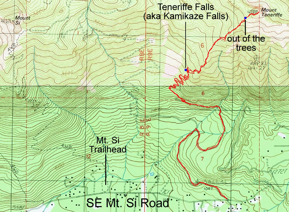
A photo of the GPS track of our scramble to Mount Teneriffe... 8.1 miles roundtrip, gaining ~4000 feet of elevation.
|
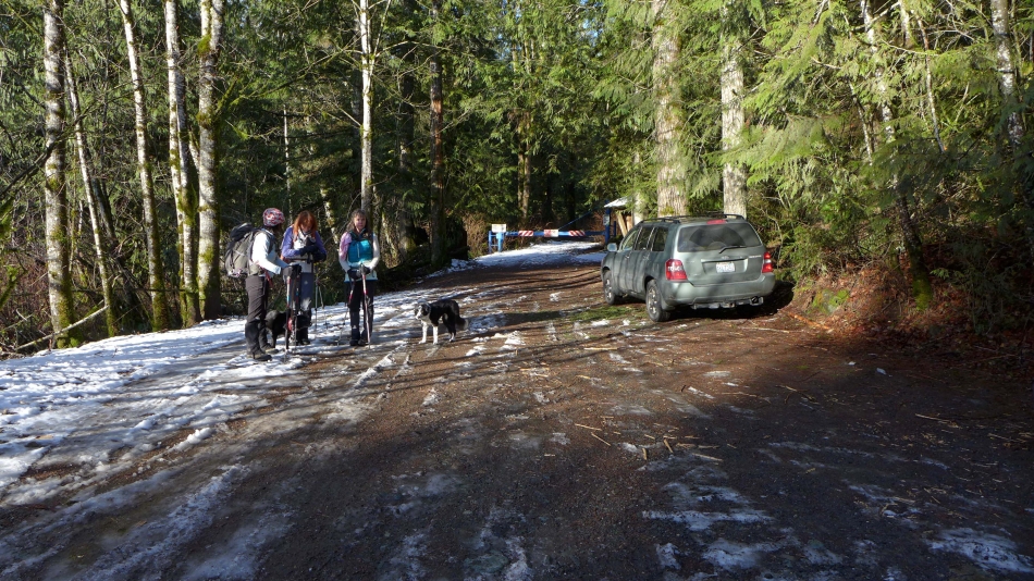
As you drive east on SE Mt. Si Road... continue 1.1 miles beyond the turnoff for the Mt. Si Trailhead to reach the trailhead for Mt. Teneriffe.
|
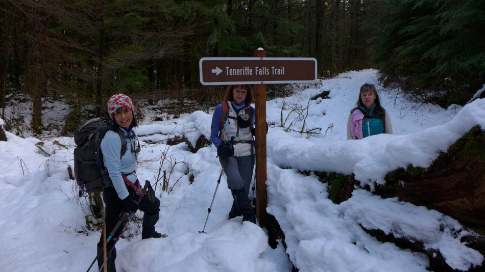
Hike a mile or so on Mt. Teneriffe Road and turn right onto the Teneriffe Falls Trail.
|
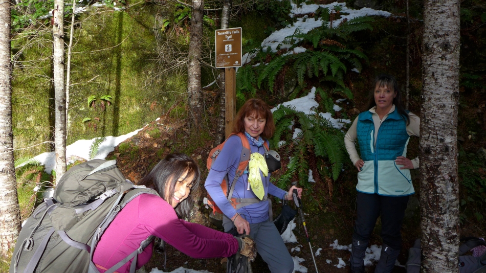
Another mile or so of fairly level walking will bring you to this sign... where the terrain gets steeper as it follows nicely graded switchbacks up to the falls.
|
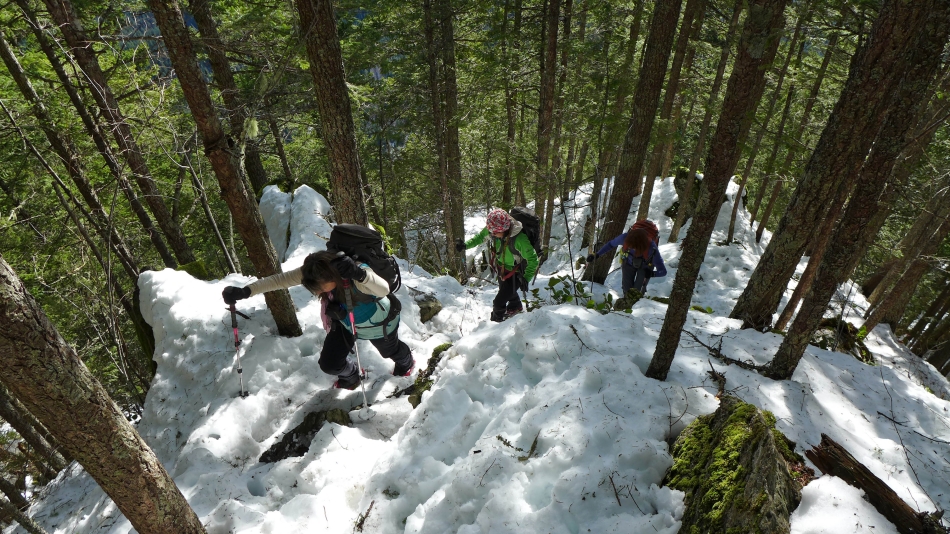
Hiking along the switchbacks leading to Teneriffe Falls.
|
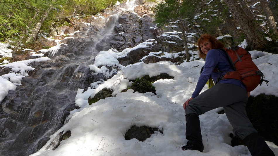
.75 miles of switchbacks brought us to Teneriffe Falls (~2400')... and we still have 2400 feet of elevation gain ahead of us to reach the Teneriffe summit.
|
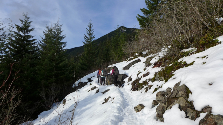
The terrain gets much steeper after leaving Teneriffe Falls... no switchbacks to help ease the gradient... as the trail/path continues along a rib (narrow in places) in a fairly direct line to the summit.
|
Much more open terrain at ~4350 feet... a little over 400 feet of elevation remains to reach the summit.
|

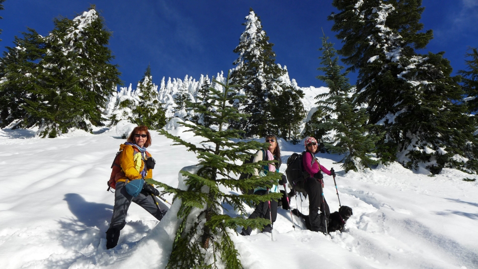
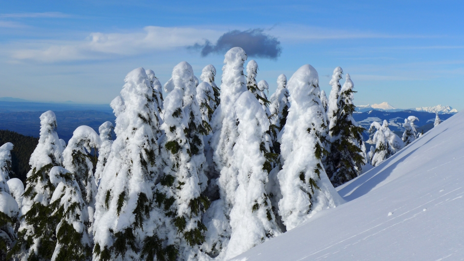
BarbE checks out one of the snow-loaded trees.
|

Looking south... across Mt. Washigton to Little Tahoma and Mt. Rainier in the distance.
|
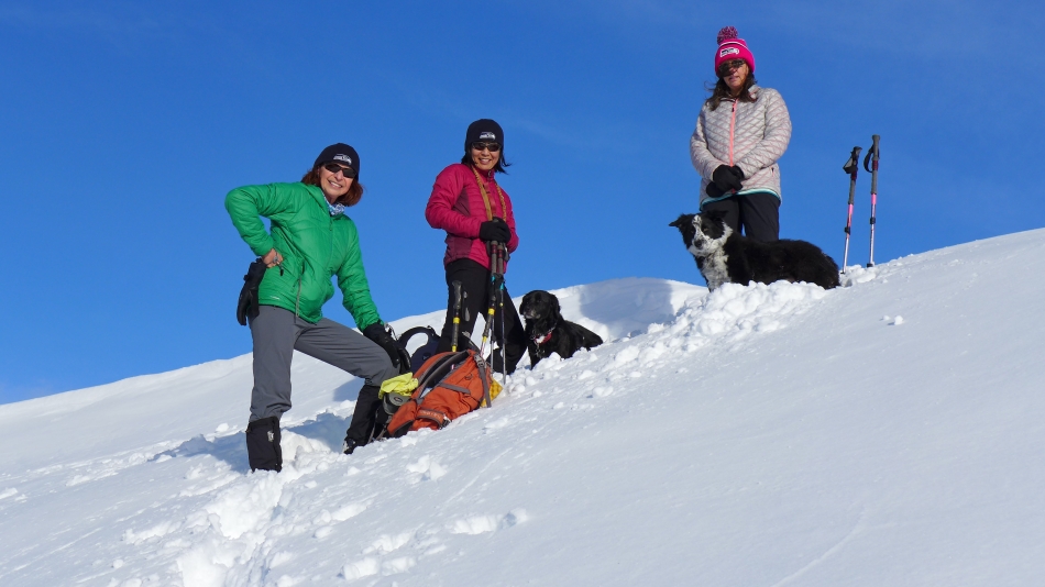
Seahawk fans on the Mt. Teneriffe summit... left to right... BarbE, Yoko, Maya, Izzy and Snowdog.
|
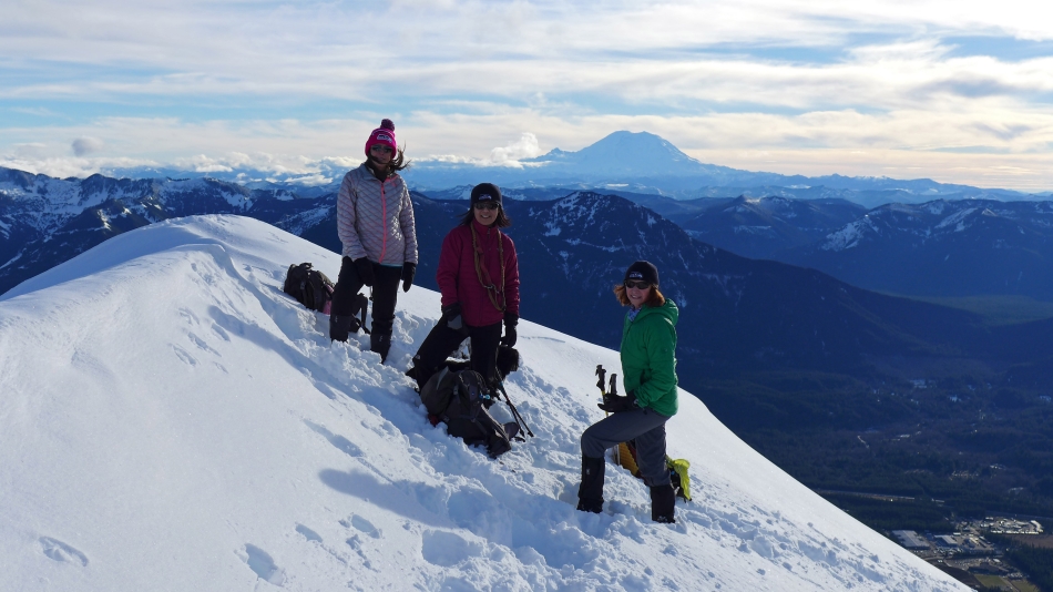
Summit (4788') shot with Mt. Rainier in the distance.
|
Looking west beyond Mt. Si and Puget Sound to the Olympic Mountains on the horizon.
|

Looking west (left) and south (right) from the Teneriffe summit... Mailbox Peak in the foreground... with McClellan Butte and Mt. Kent across the valley on the right... after that, I'm confused.
|
Looking north from the Teneriffe summit... Mt. Baker is the snow-covered pyramid.
|
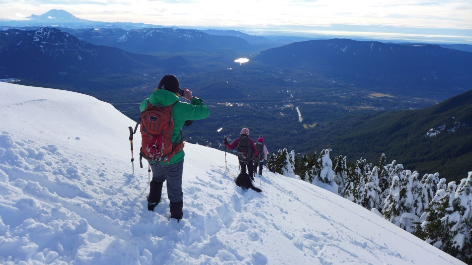
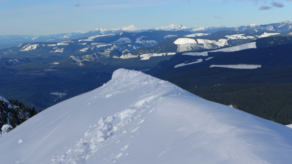
Leaving the summit area... Mt. Washington and Rainier on the far left... Rattlesnake Lake in the center of the photo... with Rattlesnake Ridge on the right.
|
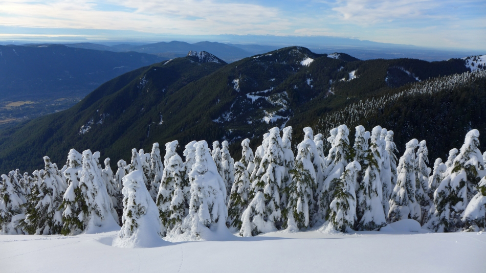
Looking north... beyond the snow-loaded trees to Mt. Baker on the horizon.
|
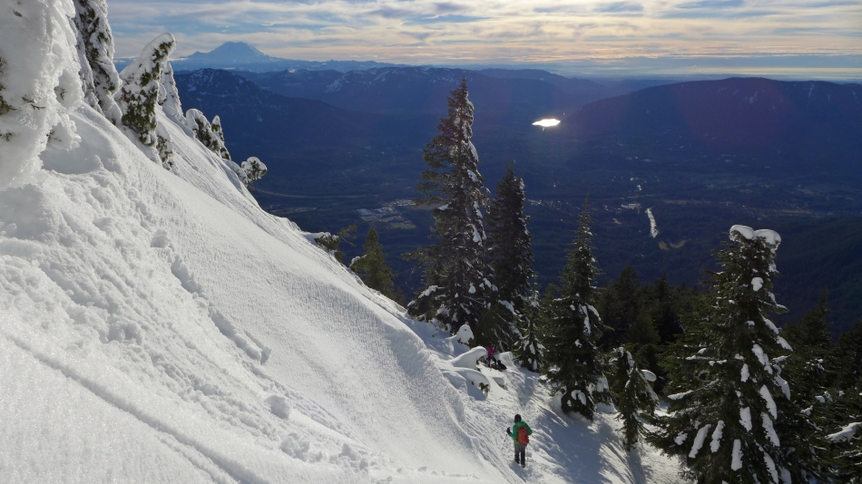
Continuing down and getting ready to go back into the forest... the town of North Bend is in the valley.
|
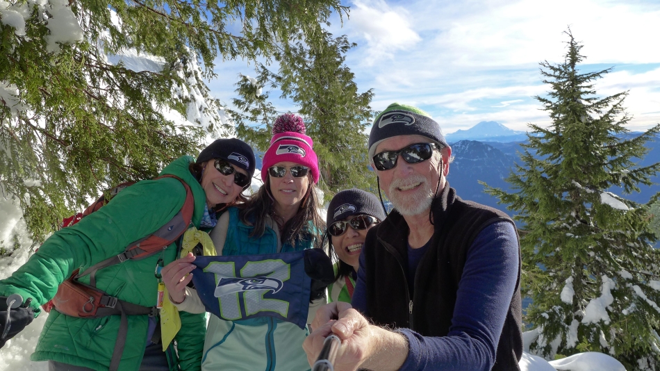
Seahawk fans rally on Teneriffe... testing out the new 'selfie stick' that Snowdog gave me for being a super nice guy... not bad for a first try.
|

Late afternoon sunshine hits Teneriffe Falls... it is getting late and we still have 2.75 miles of hiking to reach the car.
|
