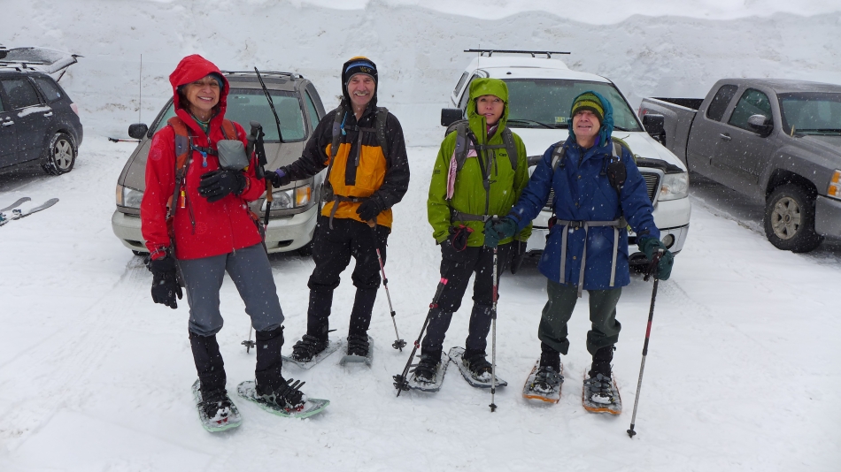
Source Lake - 1.15.2016
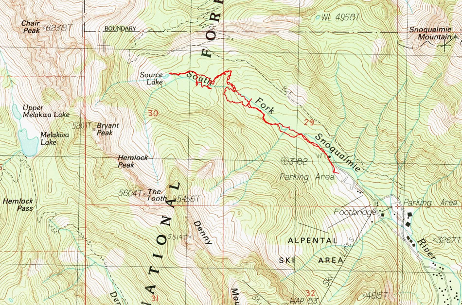
A photo of the GPS track for our trip to Source Lake... 3.6 miles roundtrip, gaining ~700 feet of elevation.
|
Bypass the main parking area at the Alpental Ski Area and continue driving to the end of the Alpental Access Road (3218').
|
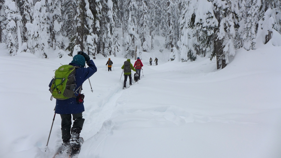
We started hiking the road for a short distance and then moved into the snowshoer's trench... it is safer off of the road because skiers coming down from the 'backcountry bowls' use it to get back to the chairlifts.
|
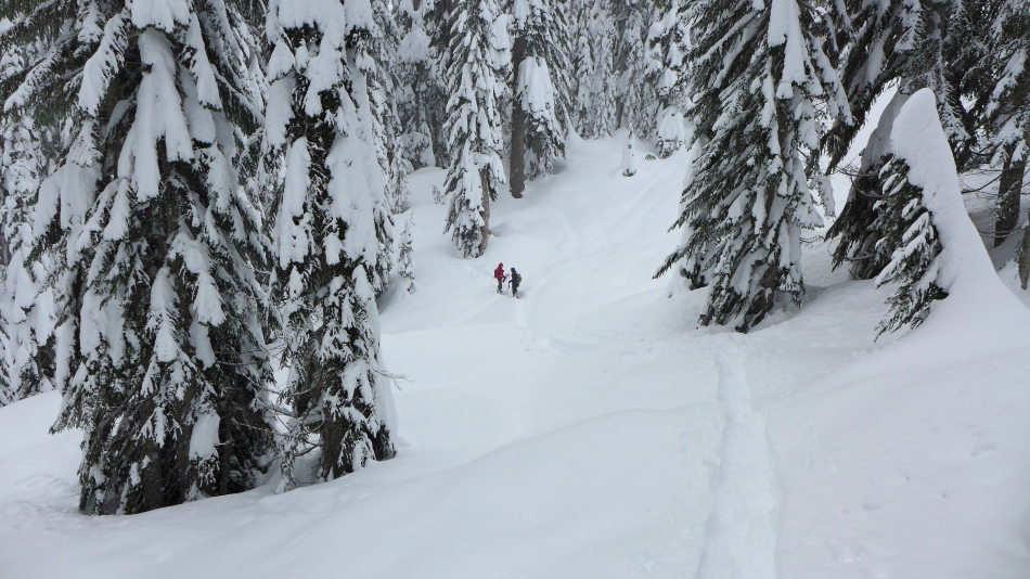
After using an existing trench for a half-mile or so we had to start breaking trail... sinking almost a foot even while wearing our snowshoes.
|
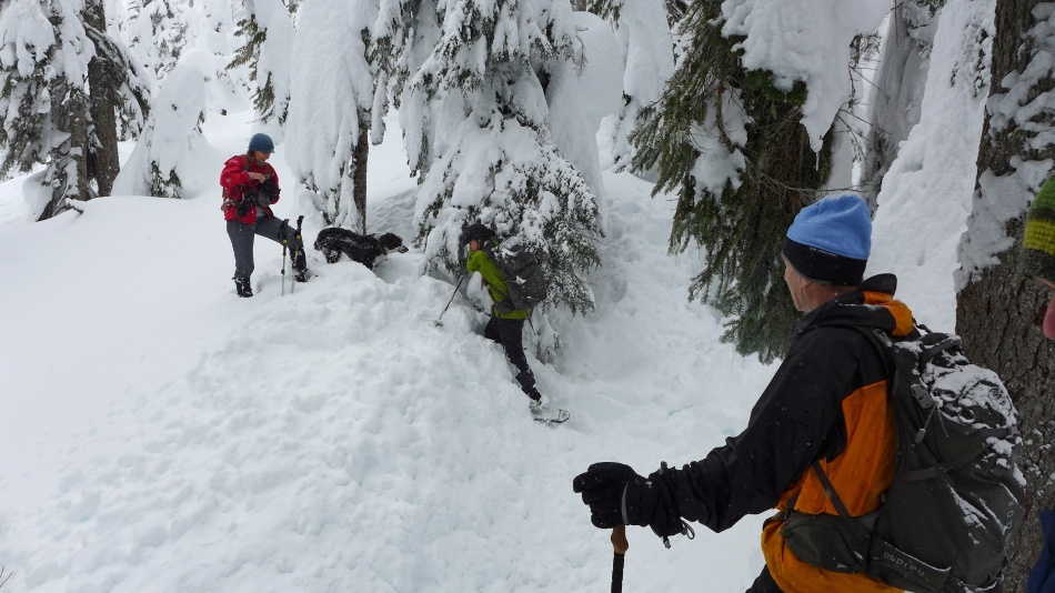
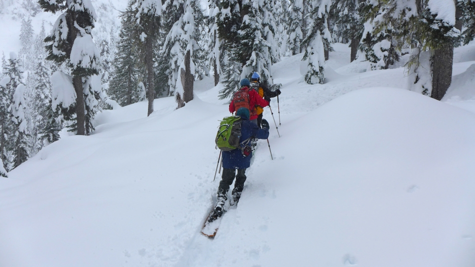
Challenging terrain in places as we work our way up to 'the balcony' above the large waterfall at ~3600 feet.
|
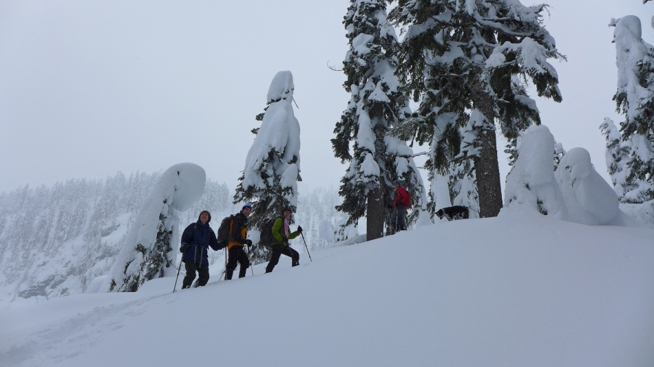
Arriving at 'the balcony'.
|
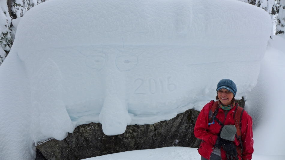
BarbE creates some snow art.
|
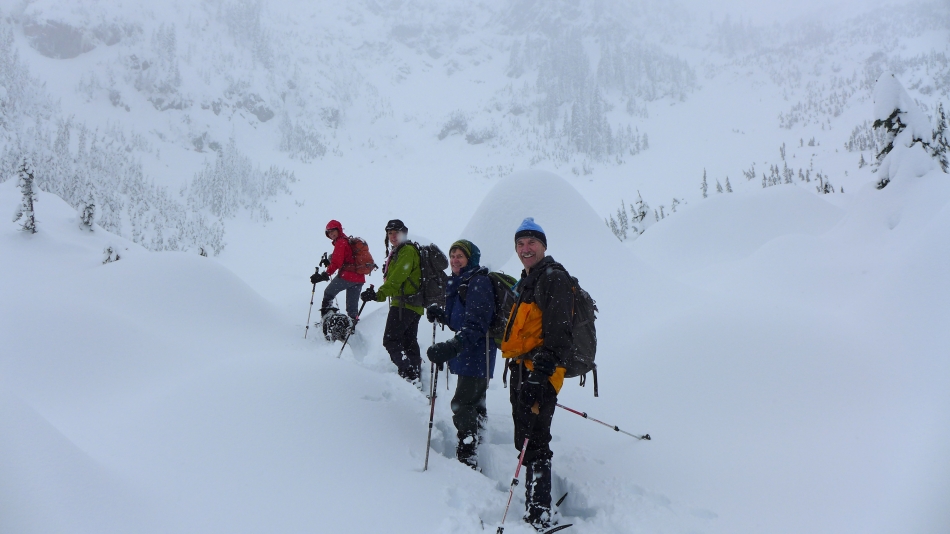
Arriving at Source Lake (3763')... with poor visibility.
|
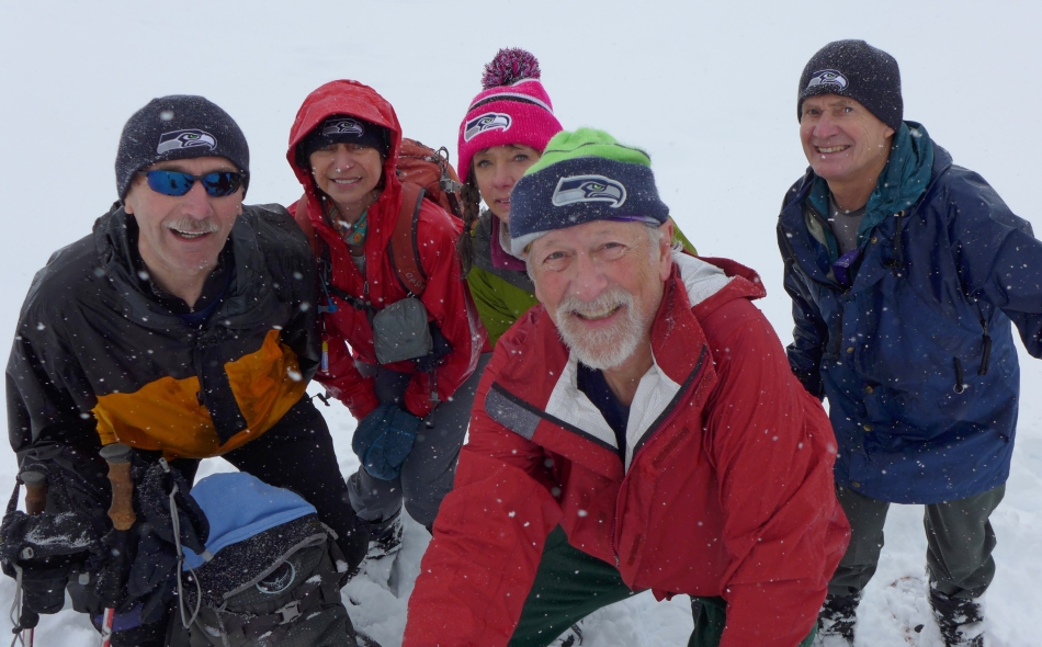
Seahawk fans huddle for a selfie at Source Lake... tomman, BarbE, Snowdog, ragman and rodman.
|
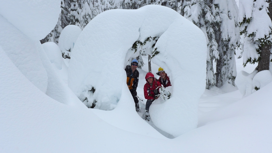
We found a very cool snow doughnut after we left the lake.
|
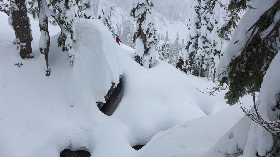
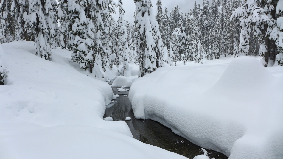
BarbE and tomman found a snow bridge that was needed to cross the Sourth Fork Snoqualmie River at 'the balcony'.
|
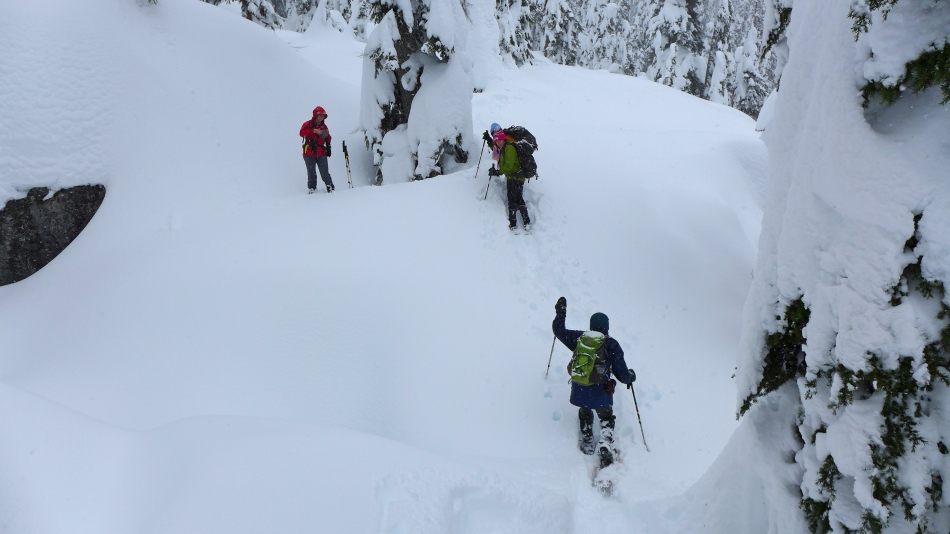
rodman at the crossing of the South Fork Snoqualmie River... one giant step for mankind.
|
Tracing our steps back to the car.
|
Felt like 6 or 7 feet of packed snow with another foot and a half of fairly fresh stuff... in other words, a winter wonderland.
|
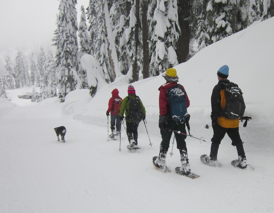
Back on the road... with Izzy leading us back to the car... notice that we are staying on one side of the road because skiers can sneak up on you very quickly.
|
